Marine Biodiversity Data Portal - NI
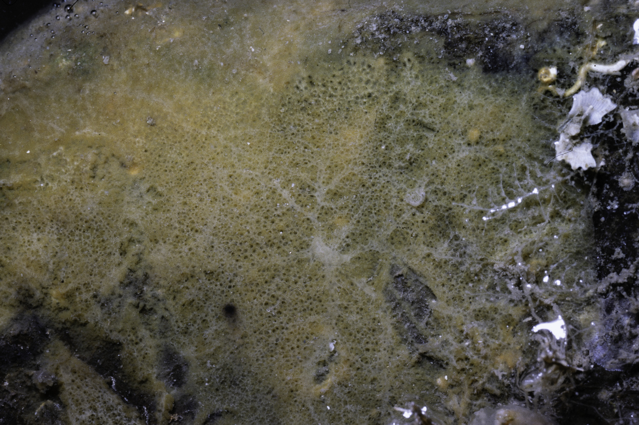
N from Audley's Point, Strangford Lough.
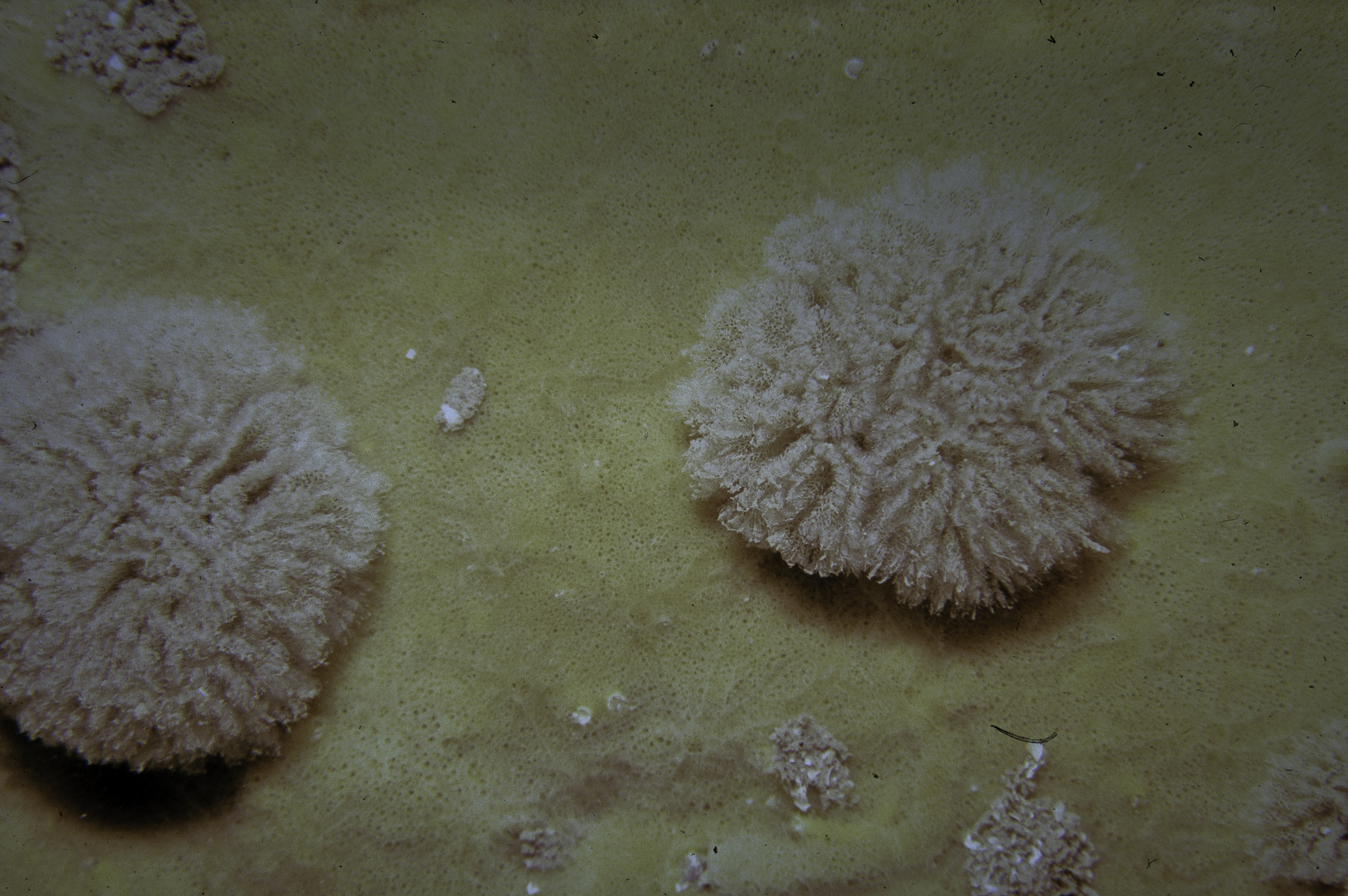
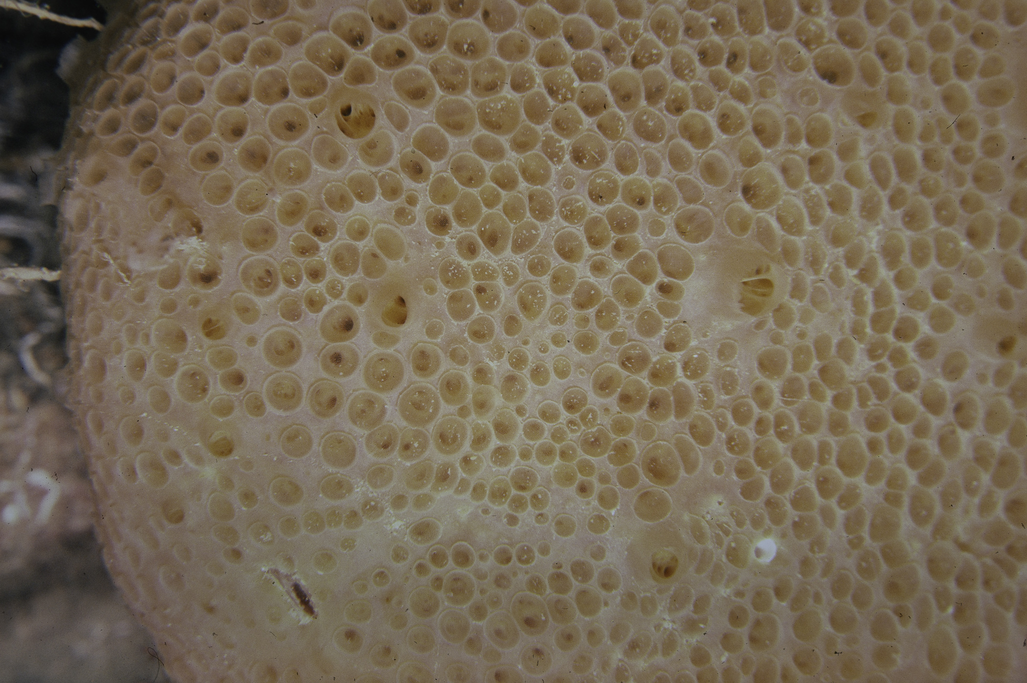
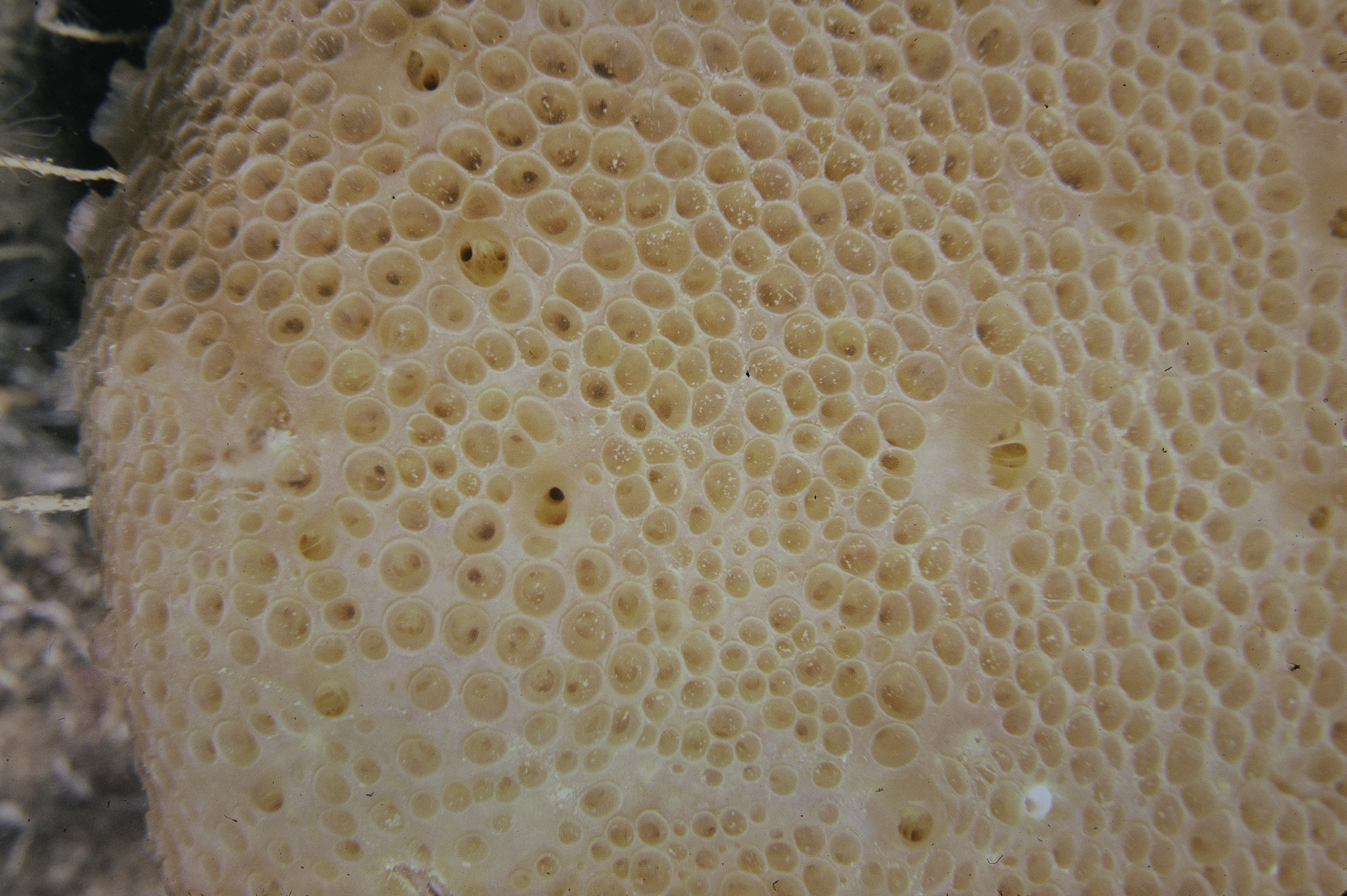
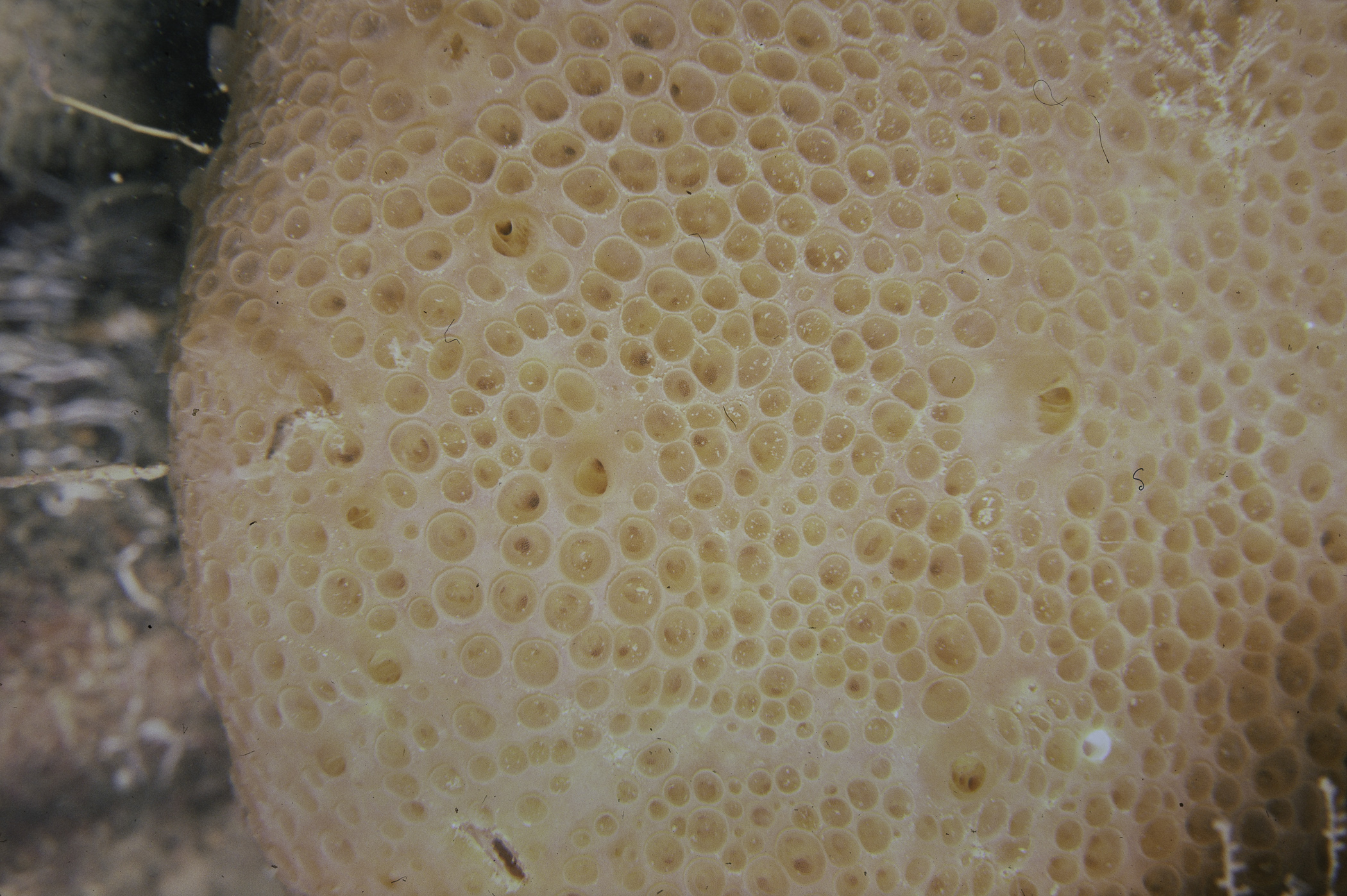
Survey number: 551 Event number: 19800617/02 Date: 1980-06-17 GPS: 54.38450,-5.57250. Depth: -27.0 to -28.0 m. [ View map ]
Site Description: A slope of large (occasional) boulders with flatter patches of pebble/boulder (depth 21-30m) shell gravel between. No sediment on surfaces.
Species list (33 species recorded):
PORIFERA
Cliona celata
Iophon hyndmani
Clathria sp.
CNIDARIA
Tubularia sp.
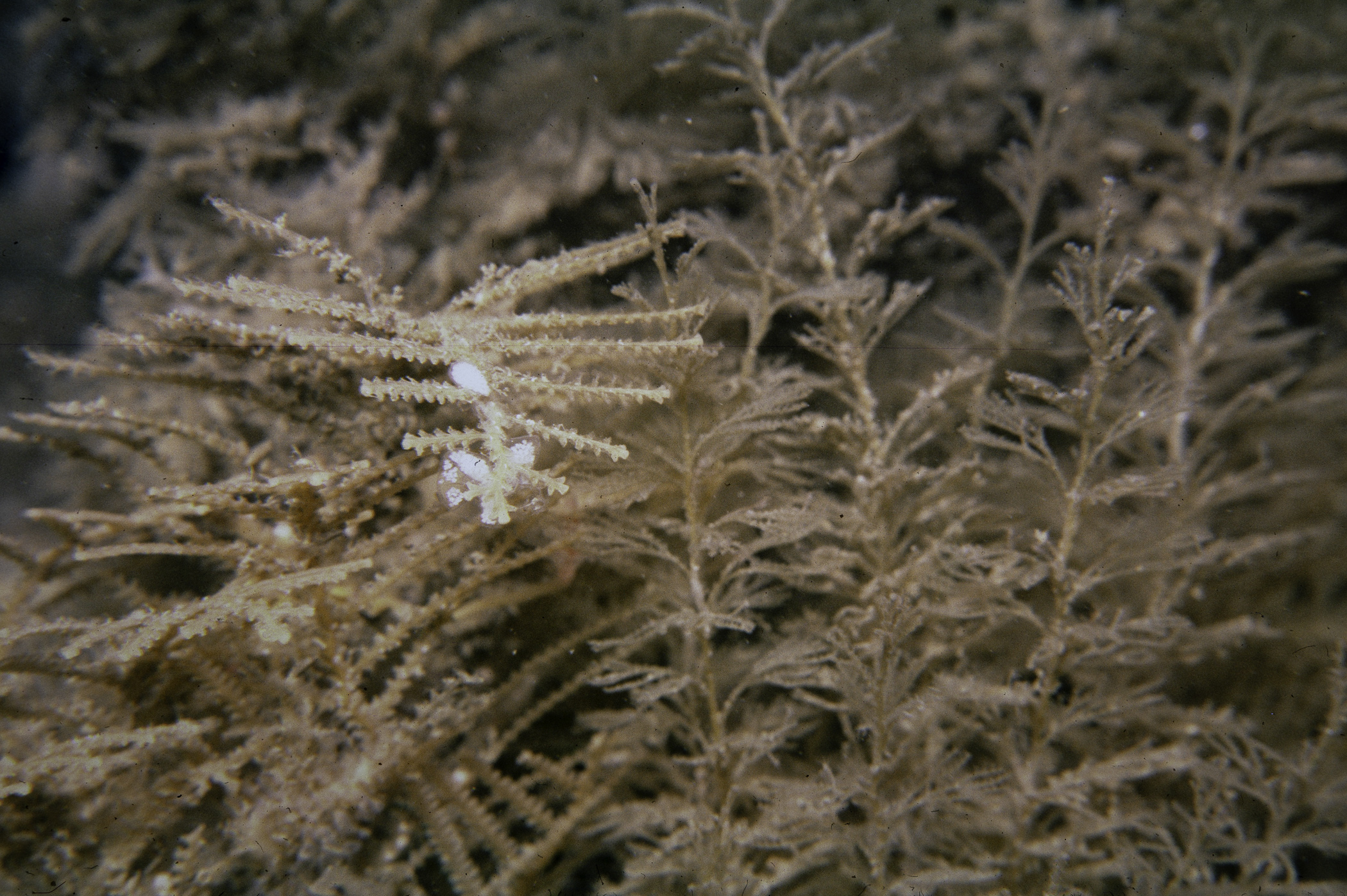
Abietinaria abietina
Sertularia argentea
Nemertesia antennina
Rhizocaulus verticillatus
Alcyonium digitatum
Epizoanthus couchii
Actinothoe sphyrodeta
ANNELIDA
Nereis pelagica
CRUSTACEA
Parapleustes bicuspis
Stenothoe monoculoides
Lysianassa ceratina
Ischyrocerus anguipes
Caprella linearis
Cancer pagurus
MOLLUSCA
Doto fragilis
Antiopella cristata
Trinchesia foliata
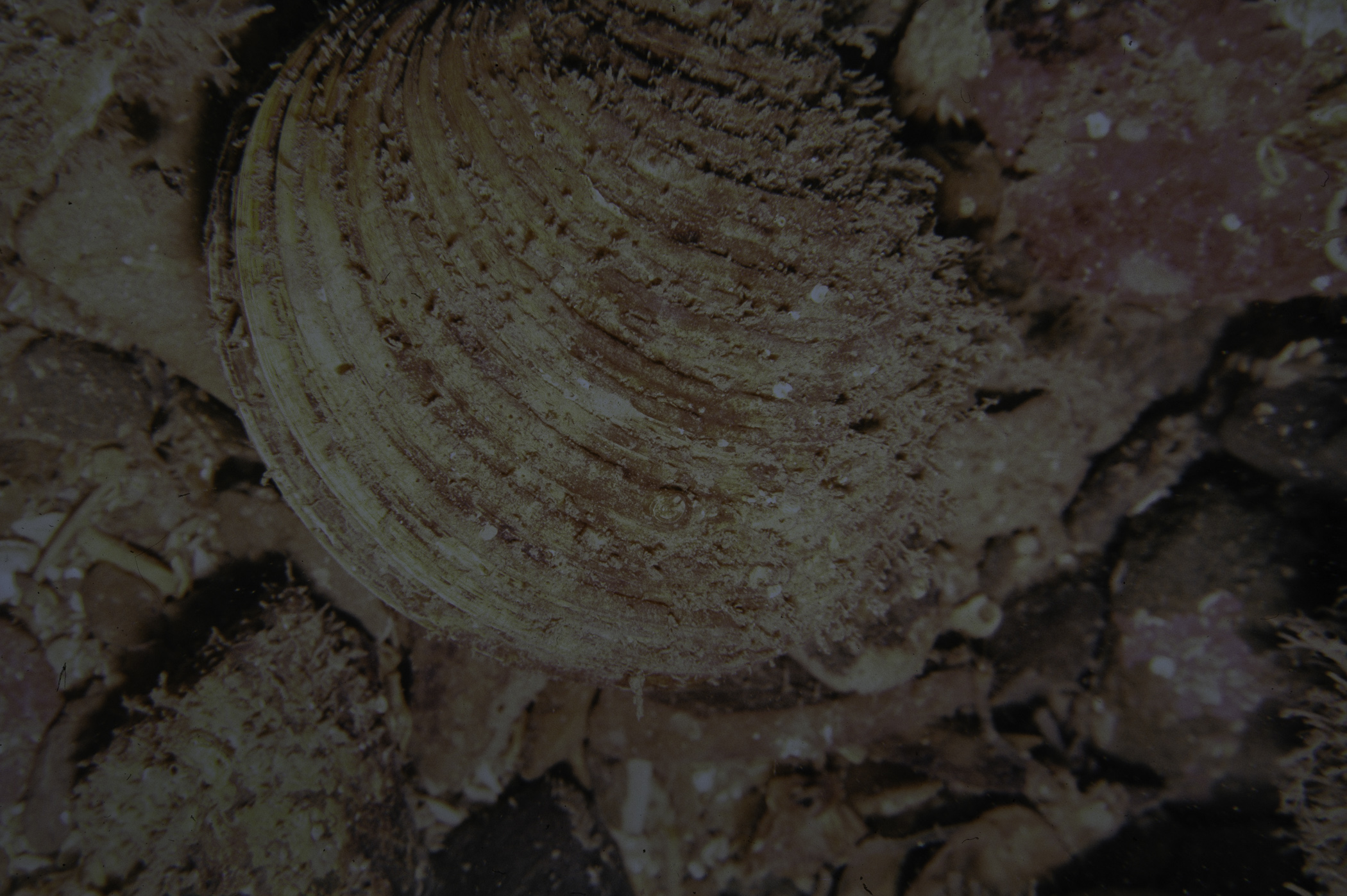
Venus casina
Polititapes rhomboides
Hiatella arctica
BRYOZOA
Bugula sp.
Bicellariella ciliata
ECHINODERMATA
Crossaster papposus
Henricia oculata
Asterias rubens
Echinus esculentus
TUNICATA
Clavelina lepadiformis
Aplidium punctum
PISCES
Ctenolabrus rupestris
No biotope record.
PORIFERA
Cliona celata P
Iophon hyndmani P
Clathria sp. P
CNIDARIA
Tubularia sp. P
Abietinaria abietina P
Sertularia argentea P
Nemertesia antennina P
Rhizocaulus verticillatus P
Alcyonium digitatum P
Epizoanthus couchii P
Actinothoe sphyrodeta P
ANNELIDA
Nereis pelagica P
CRUSTACEA
Parapleustes bicuspis P
Stenothoe monoculoides P
Lysianassa ceratina P
Ischyrocerus anguipes P
Caprella linearis P
Cancer pagurus P
MOLLUSCA
Doto fragilis P
Antiopella cristata P
Trinchesia foliata P
Venus casina P
Polititapes rhomboides P
Hiatella arctica P
BRYOZOA
Bugula sp. P
Bicellariella ciliata P
ECHINODERMATA
Crossaster papposus P
Henricia oculata P
Asterias rubens P
Echinus esculentus P
TUNICATA
Clavelina lepadiformis P
Aplidium punctum P
PISCES
Ctenolabrus rupestris P
| Previous site | Next site |
