Marine Biodiversity Data Portal - NI


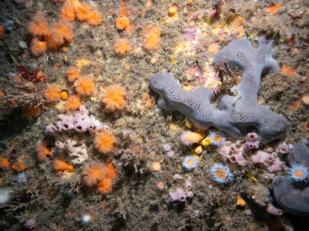
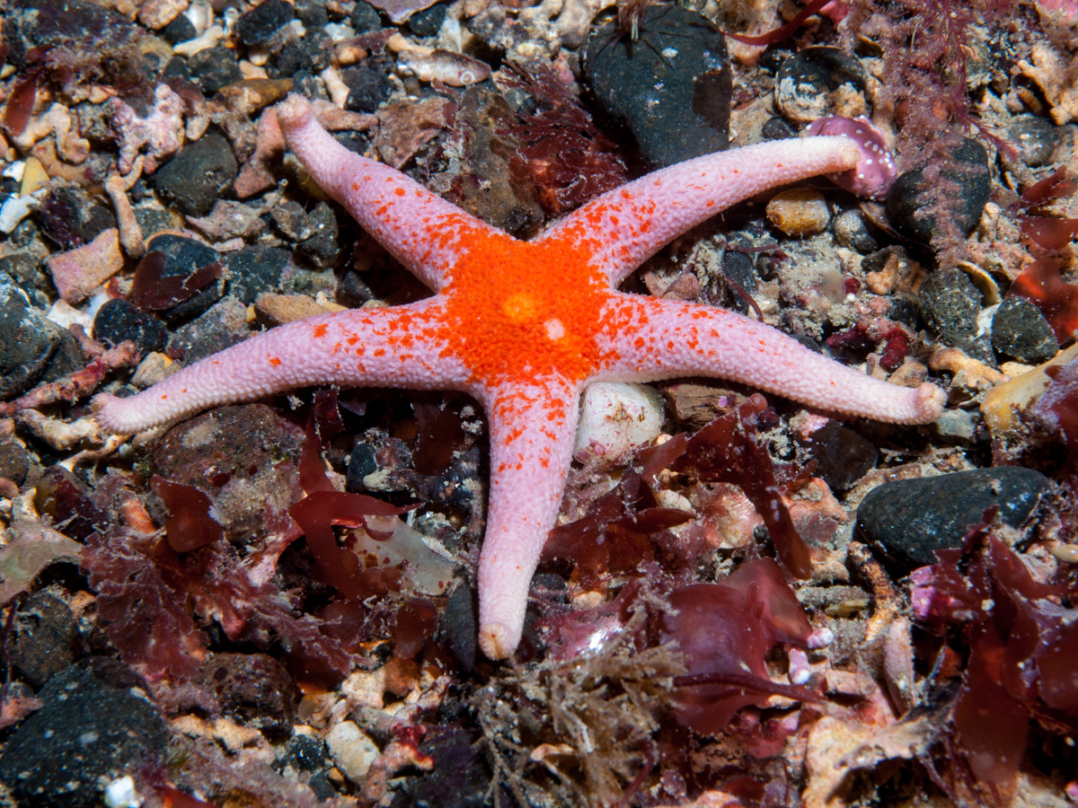

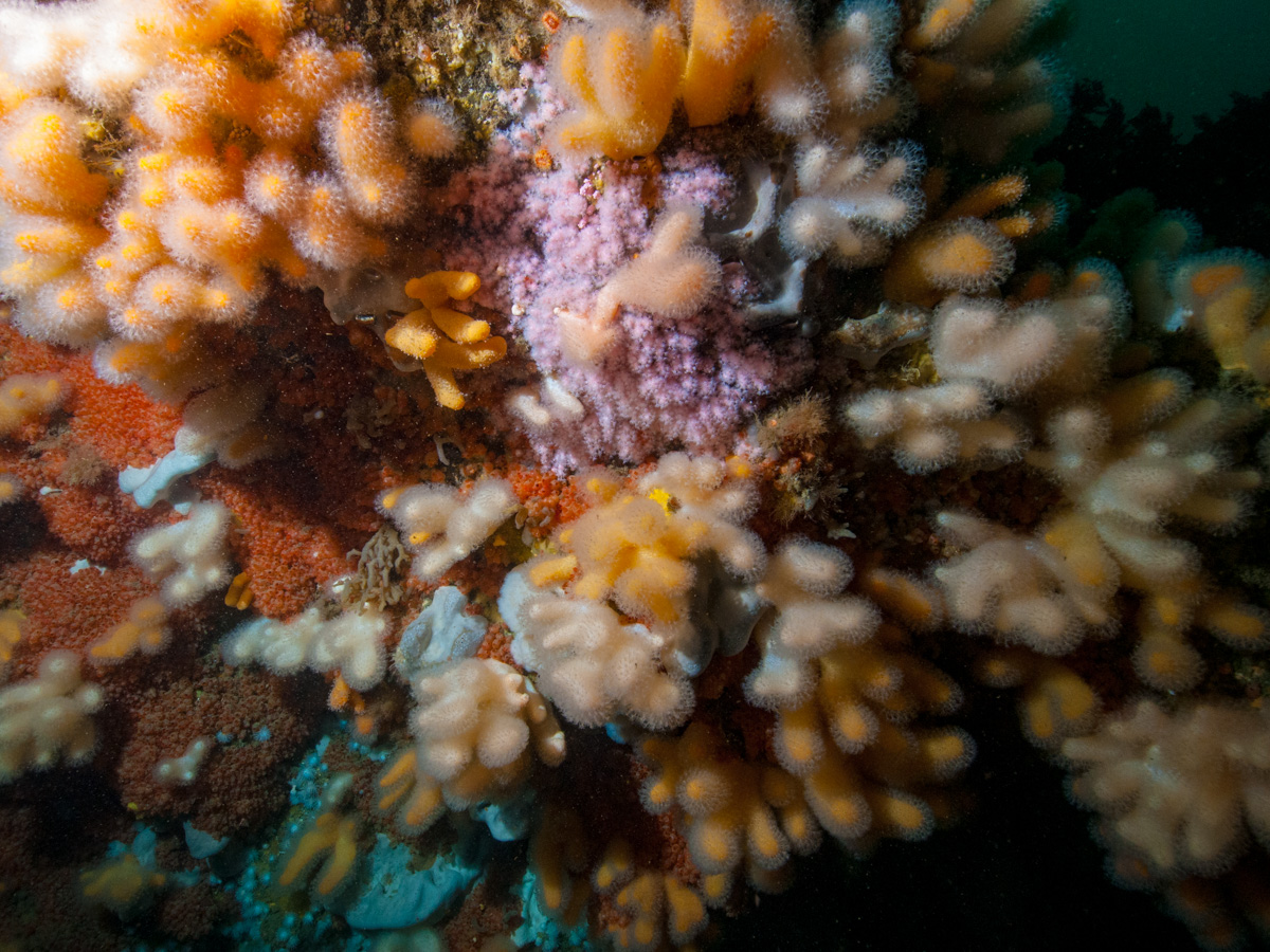

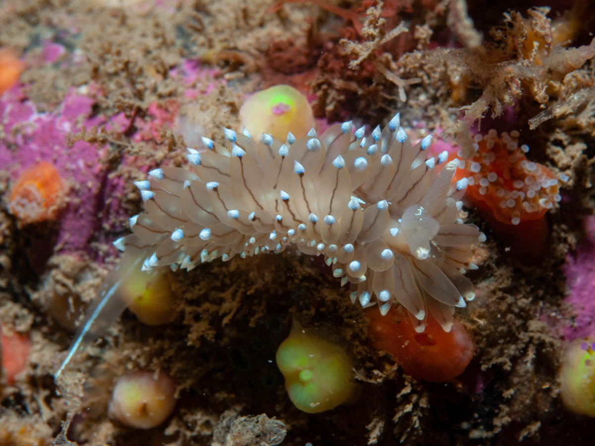
Marine Biodiversity Data Portal - NI will make legacy data available for baseline monitoring via an innovative web portal for exploration of data & images from previous and future surveys. It will link and map photos; video; species; biotopes and DNA barcodes. The project will also deliver training workshops in invertebrate identification as well as techniques for photographing marine life. The project will liaise with staff at the Centre for Environmental Data and Recording (CEDaR) to deliver action plans for invasive and priority species.
This portal contains surveys by Ulster Museum in the 1980s, National Museums NI in the 2000s and data from DAERA and AFBI survey work around Northern Ireland. It contains thousands of photographs taken over the period 1976 to present. [ Map of sites ]
Select headers to sort data.
Select event number to go to images from dive with tabs for dive summary, video summary, biotope list and species list.
The species module is an updated version of the Habitas Marine Life Encyclopedia.
The Video player hosts interactive video of habitats and species at GPS located sites. The video is annotated with species names and is from individual site visits, showing changes with the seasons. Videos from 2003 and 2024 are loaded at this time, including one from The Maidens in 2024 and one from Strangford Lough in 2003. In 2024 43 videos were made, shot at 4K resolution on a Nikon Z8 camera in a Nauticam housing with Keldan lights. These can be accessed by choosing 2024 as the year in the site list page.
 |
 |
 |