Marine Biodiversity Data Portal - NI
E of Audley's Point, Strangford Lough.
Survey number: 551 Event number: 19800617/01 Date: 1980-06-17 GPS: 54.38333,-5.56667. Depth: -26.0 to -27.0 m. [ View map ]
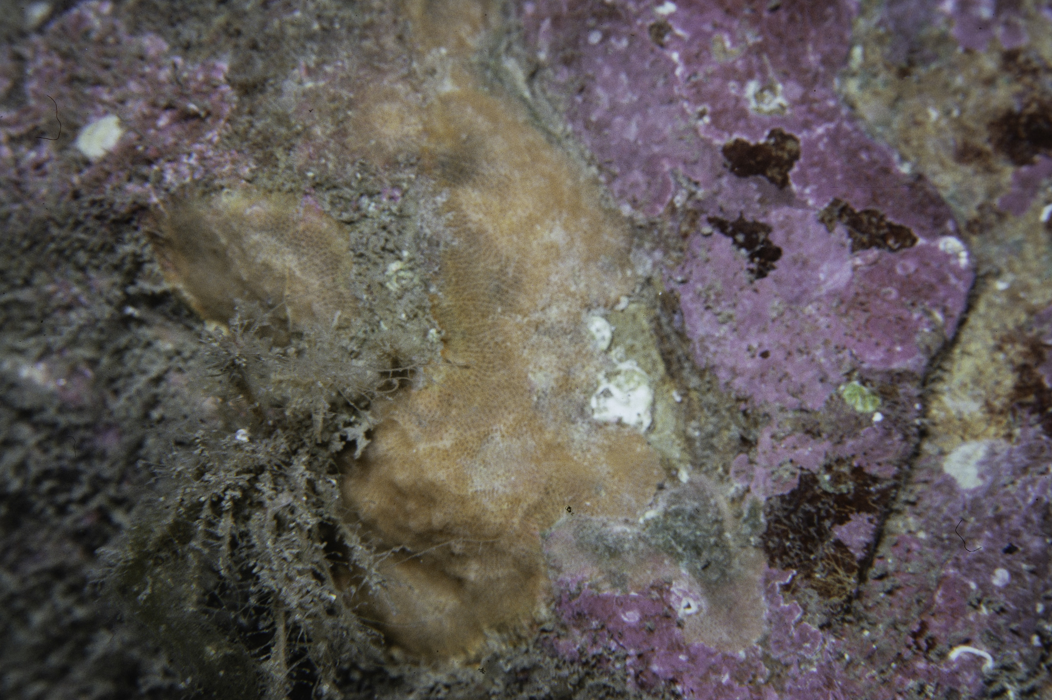
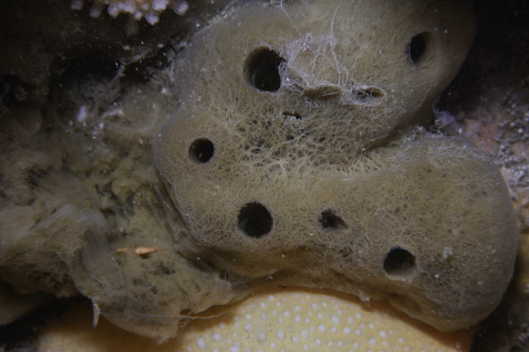
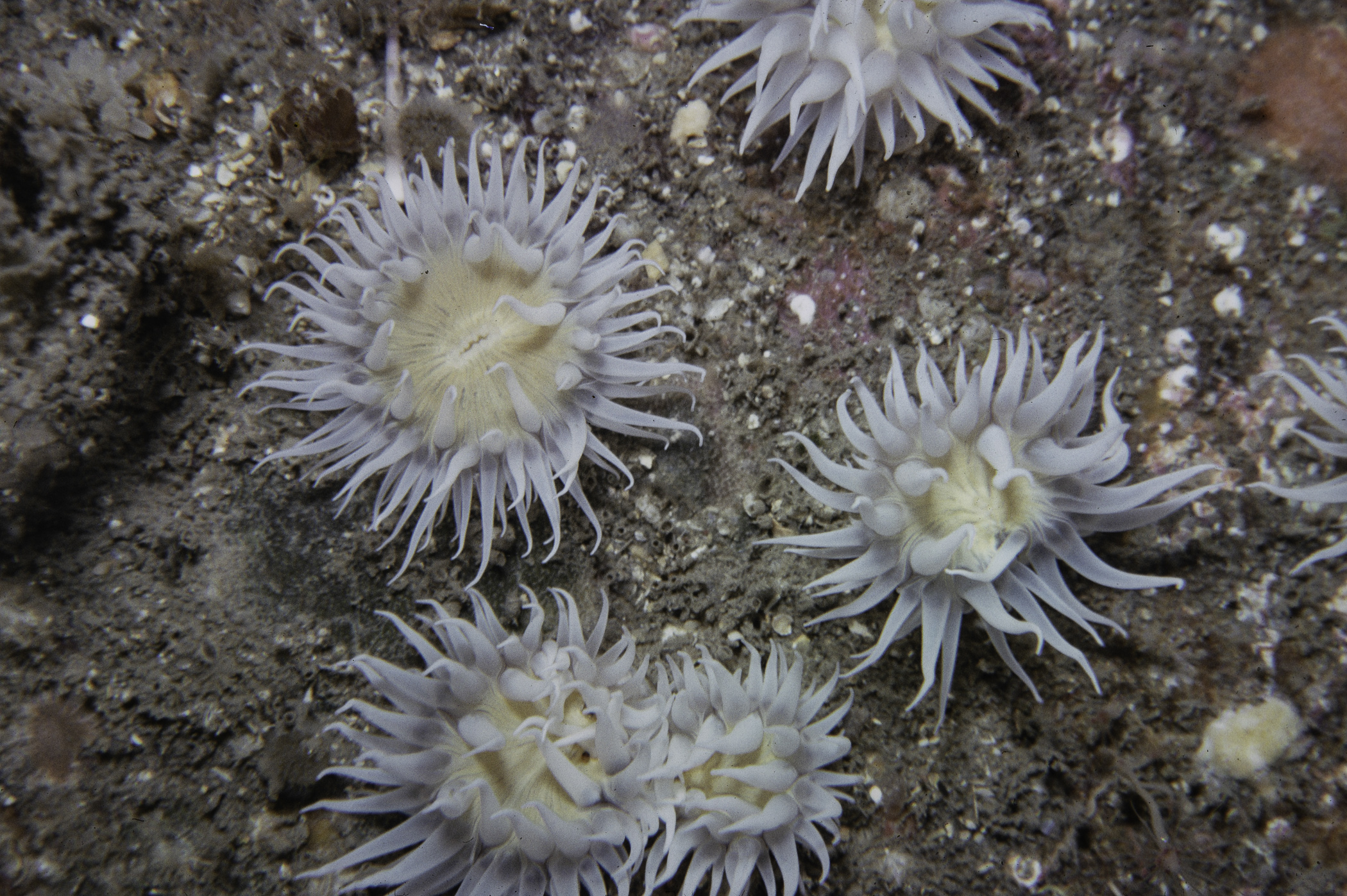
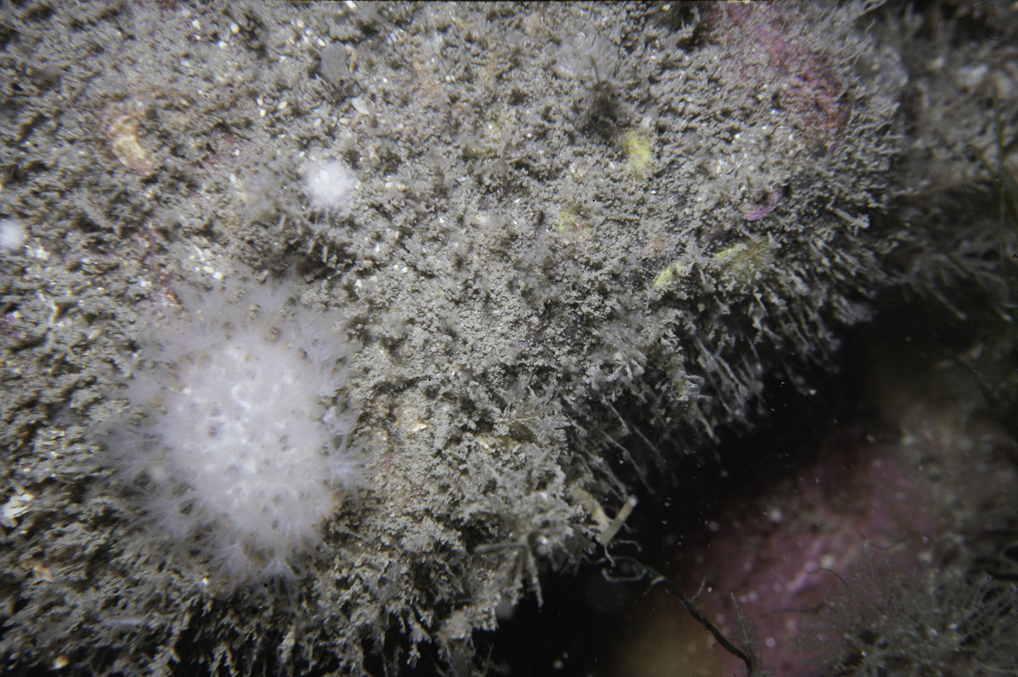
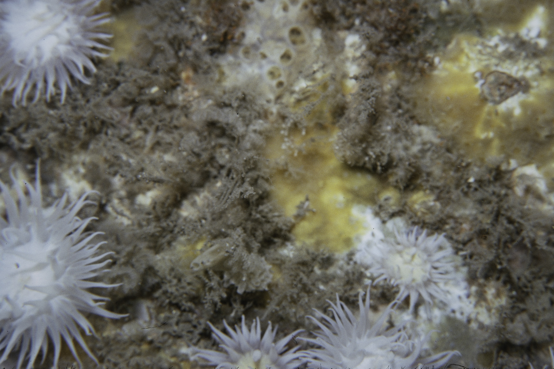
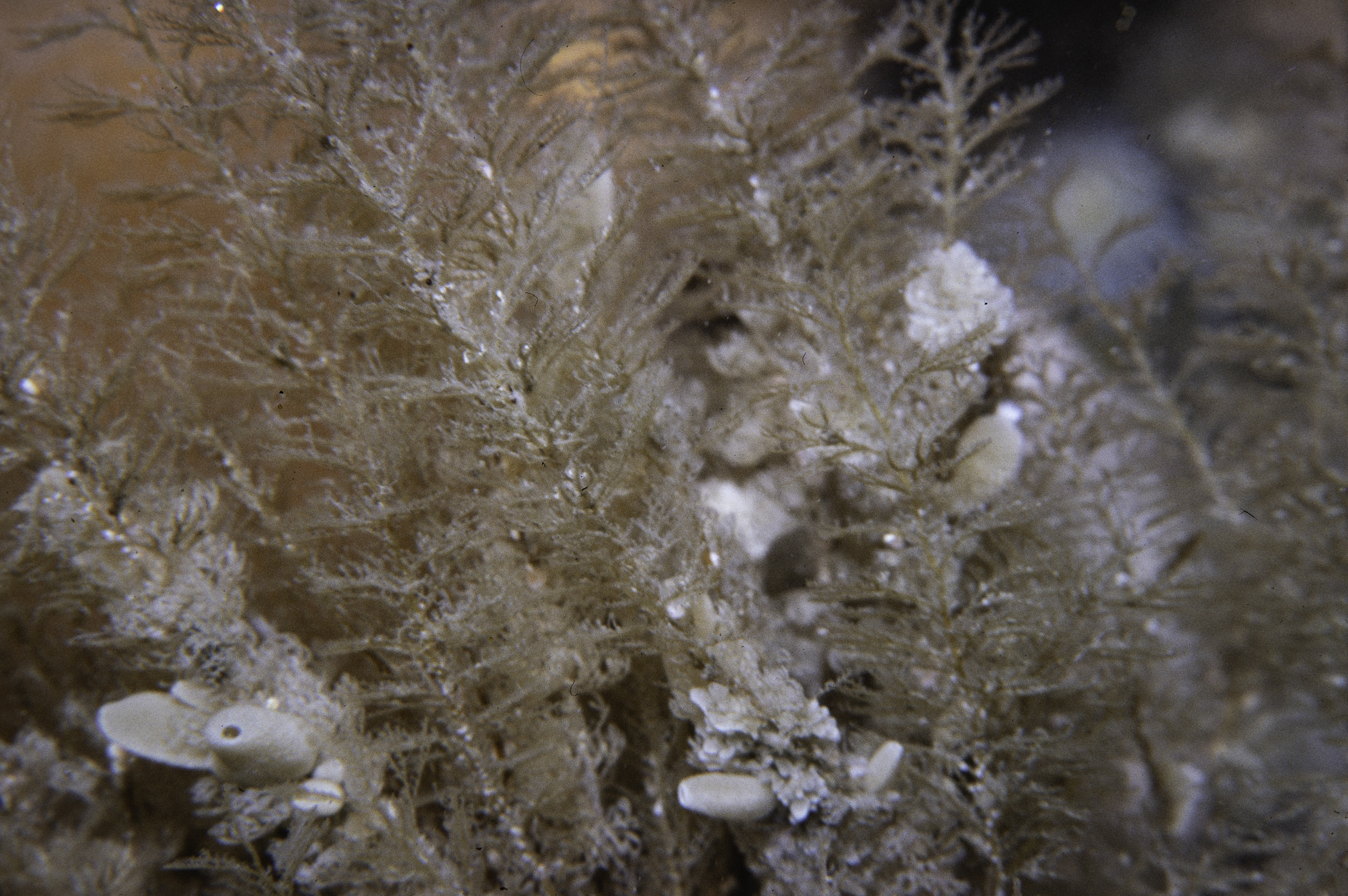
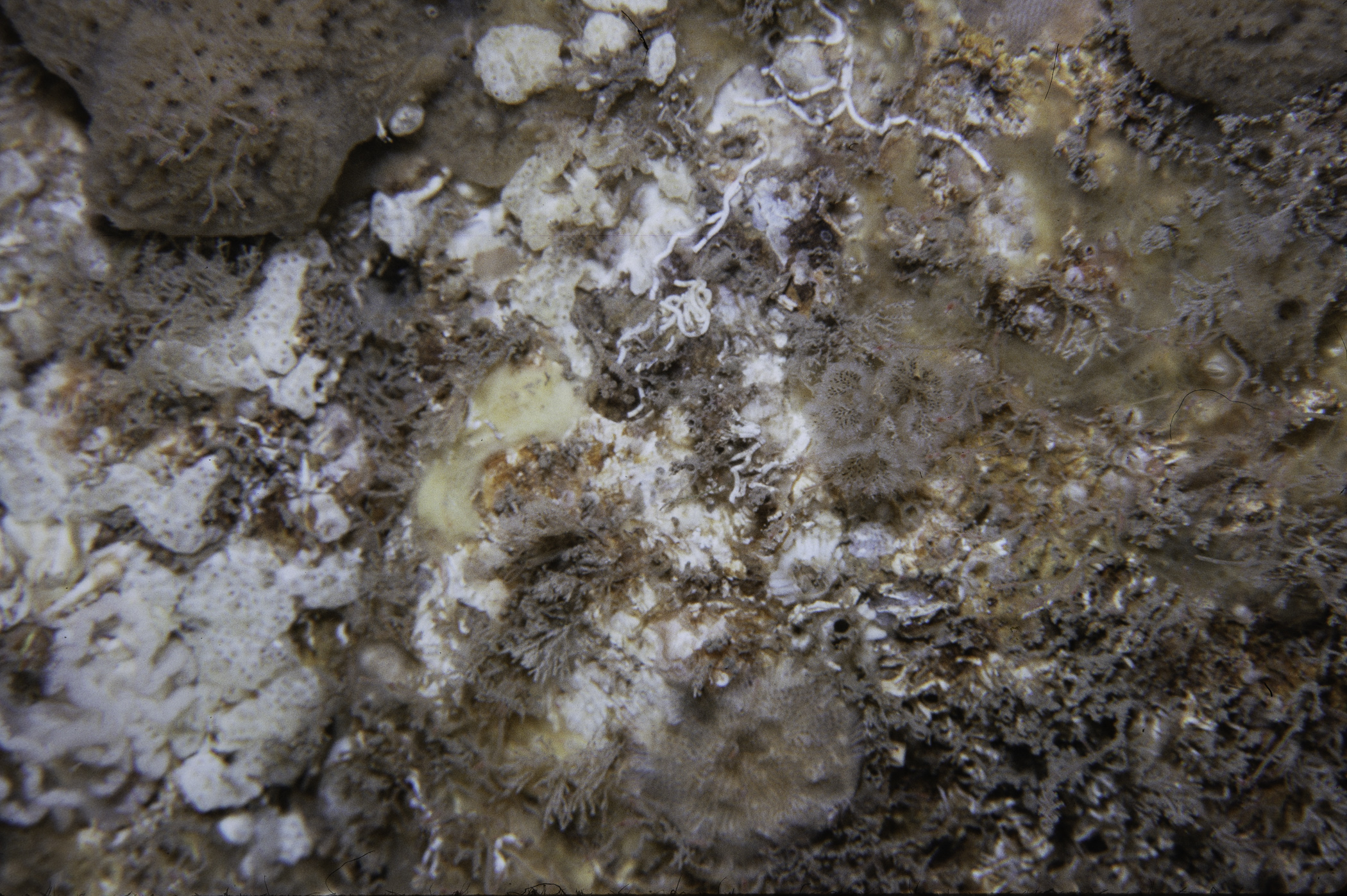
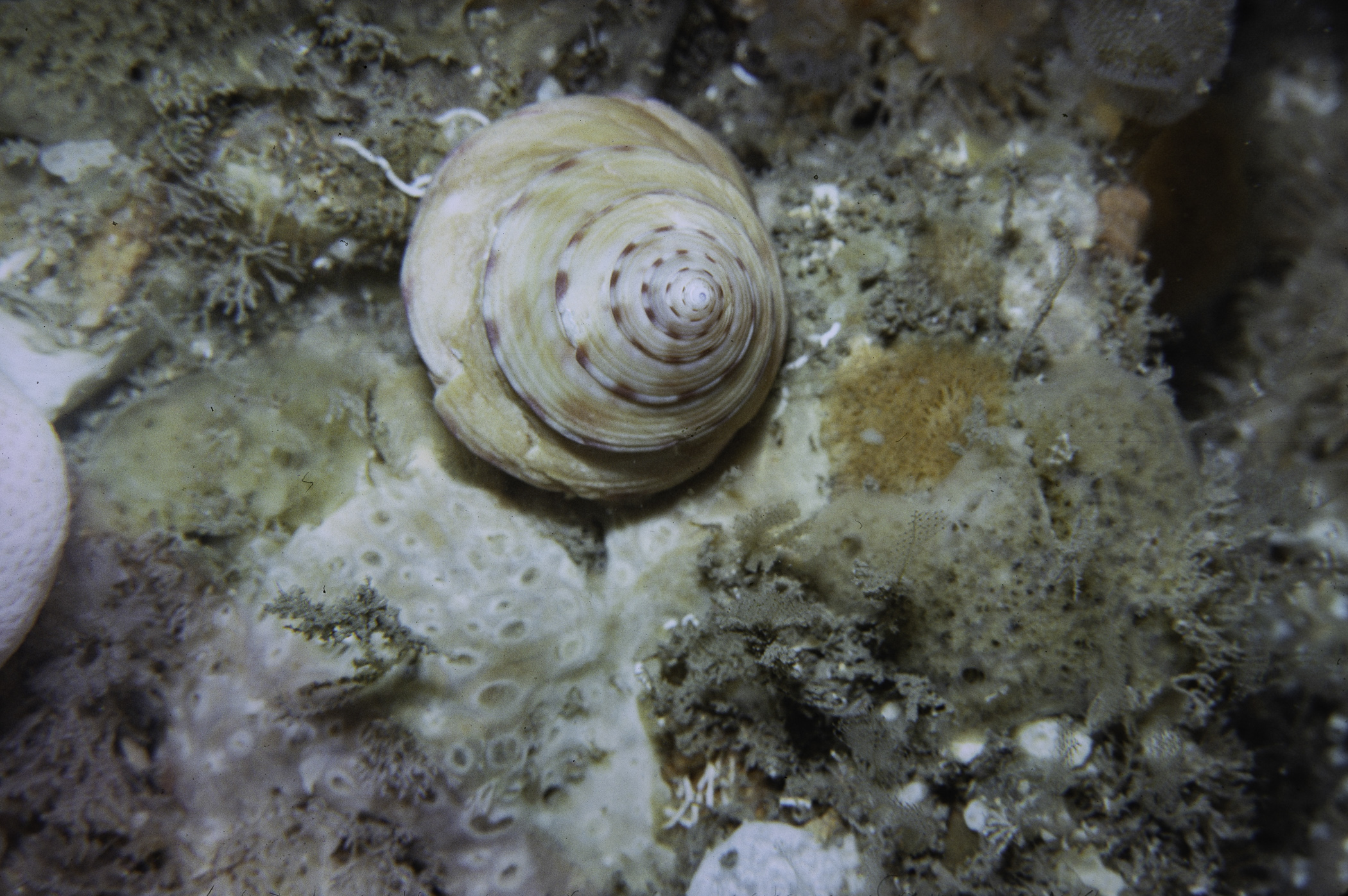
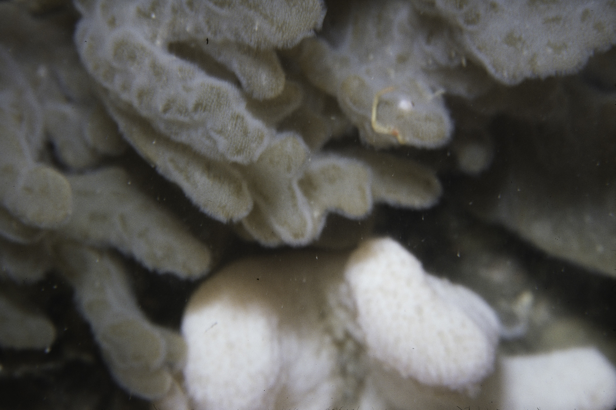
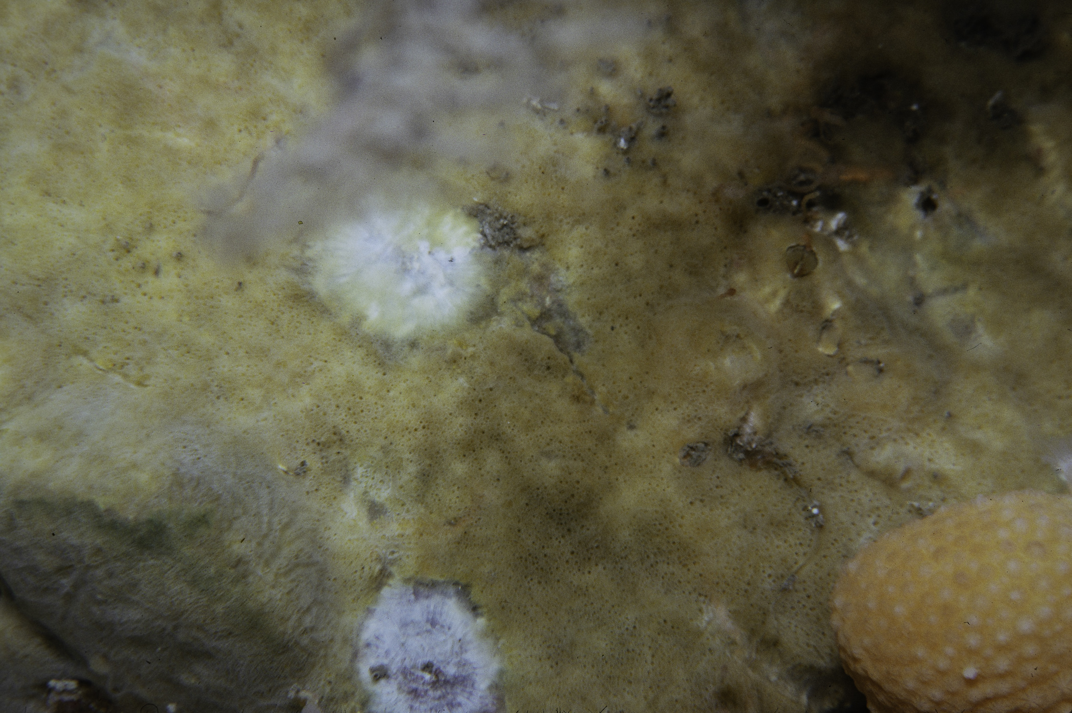
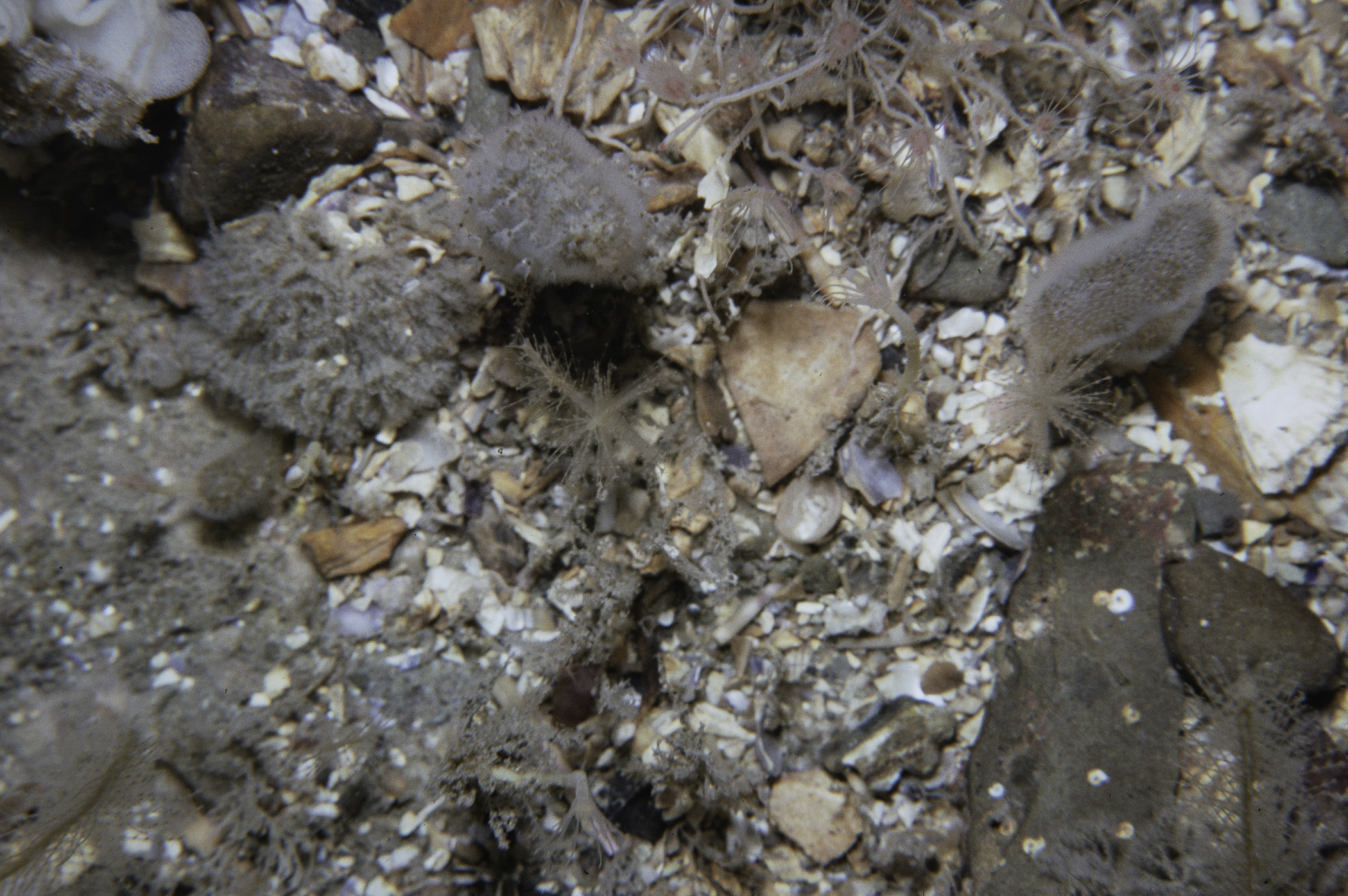
Site Description: Drift dive see SL242. Initially 100% bedrock with kelp. Then flat plain 21m of cobbles/pebbles then bedrock.
 |
 |
 |
 |
 |
 |
 |
 |
 |
 |
 |
 |
 |
 |
 |
[ More images ] (15/30)
Species list (20 species recorded):
PORIFERA
Pachymatisma johnstonia
Raspailia sp.
Cliona celata
Phorbas fictitius
Haliclona viscosa
CNIDARIA
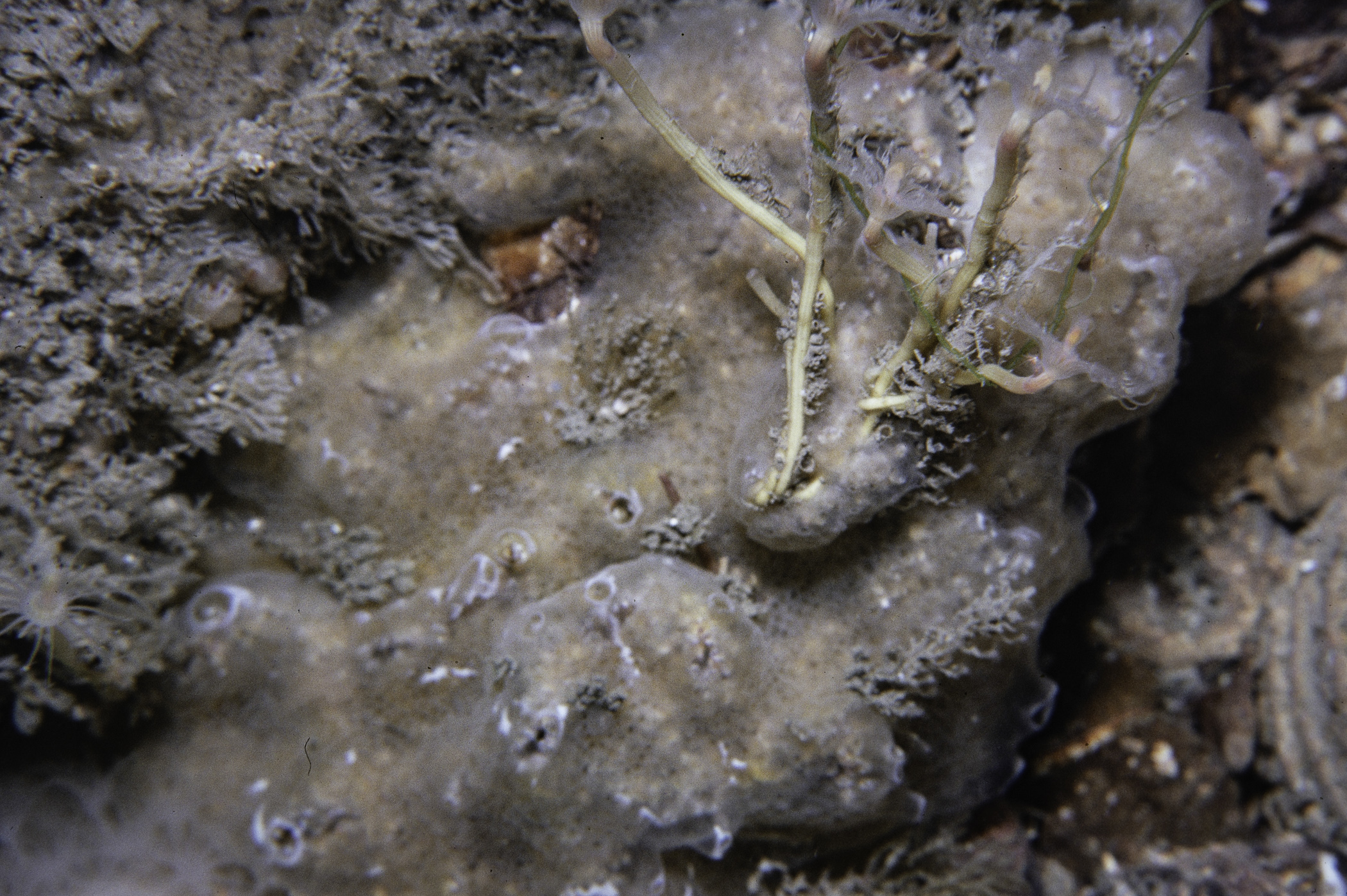
Tubularia sp.
Sertularia argentea
Alcyonium digitatum
Metridium senile
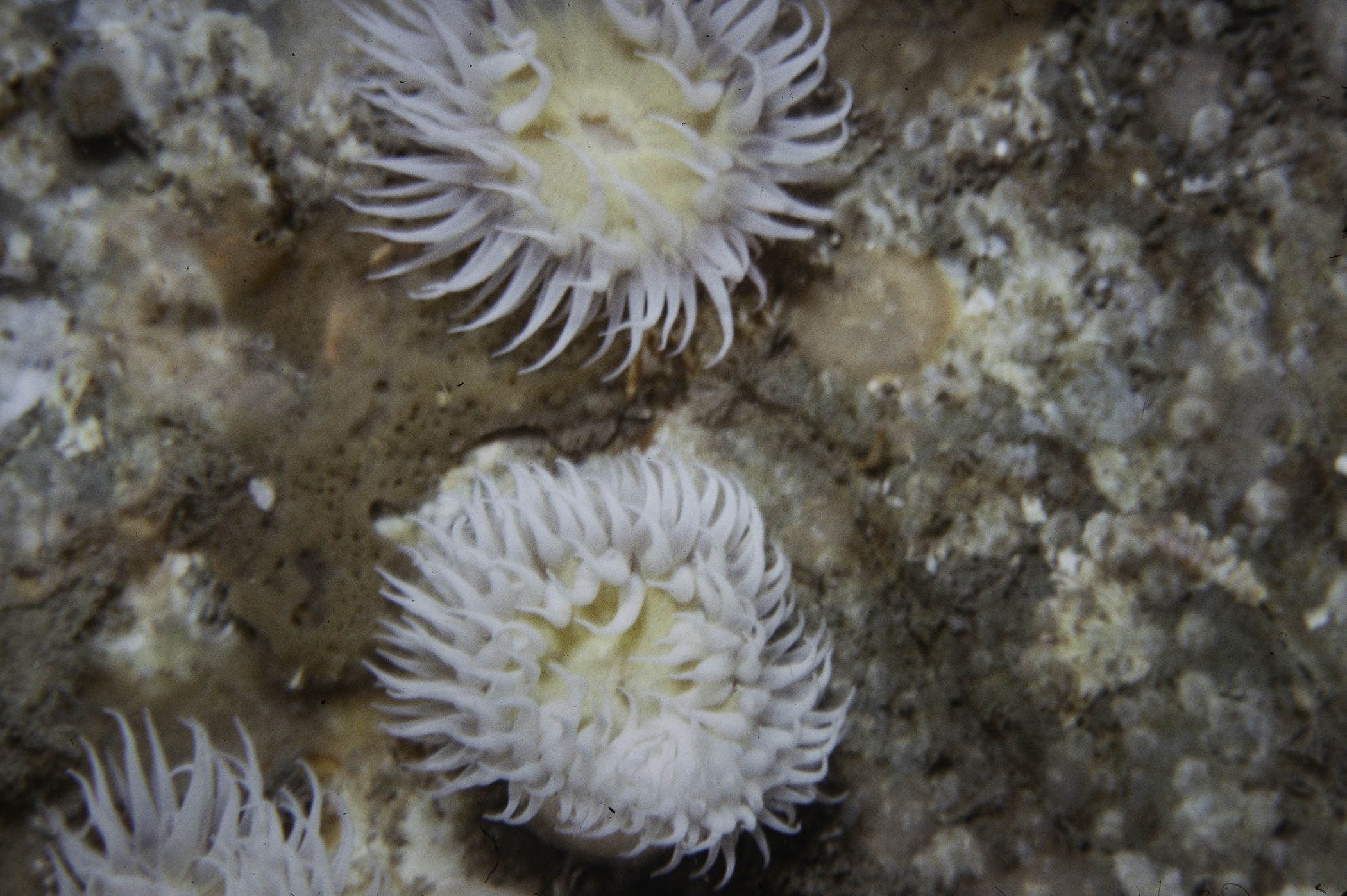
Actinothoe sphyrodeta
CRUSTACEA
Cancer pagurus
MOLLUSCA
Calliostoma zizyphinum
BRYOZOA
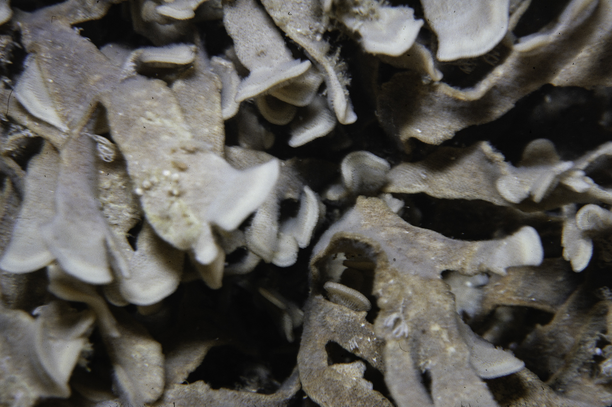
Flustra foliacea
ECHINODERMATA
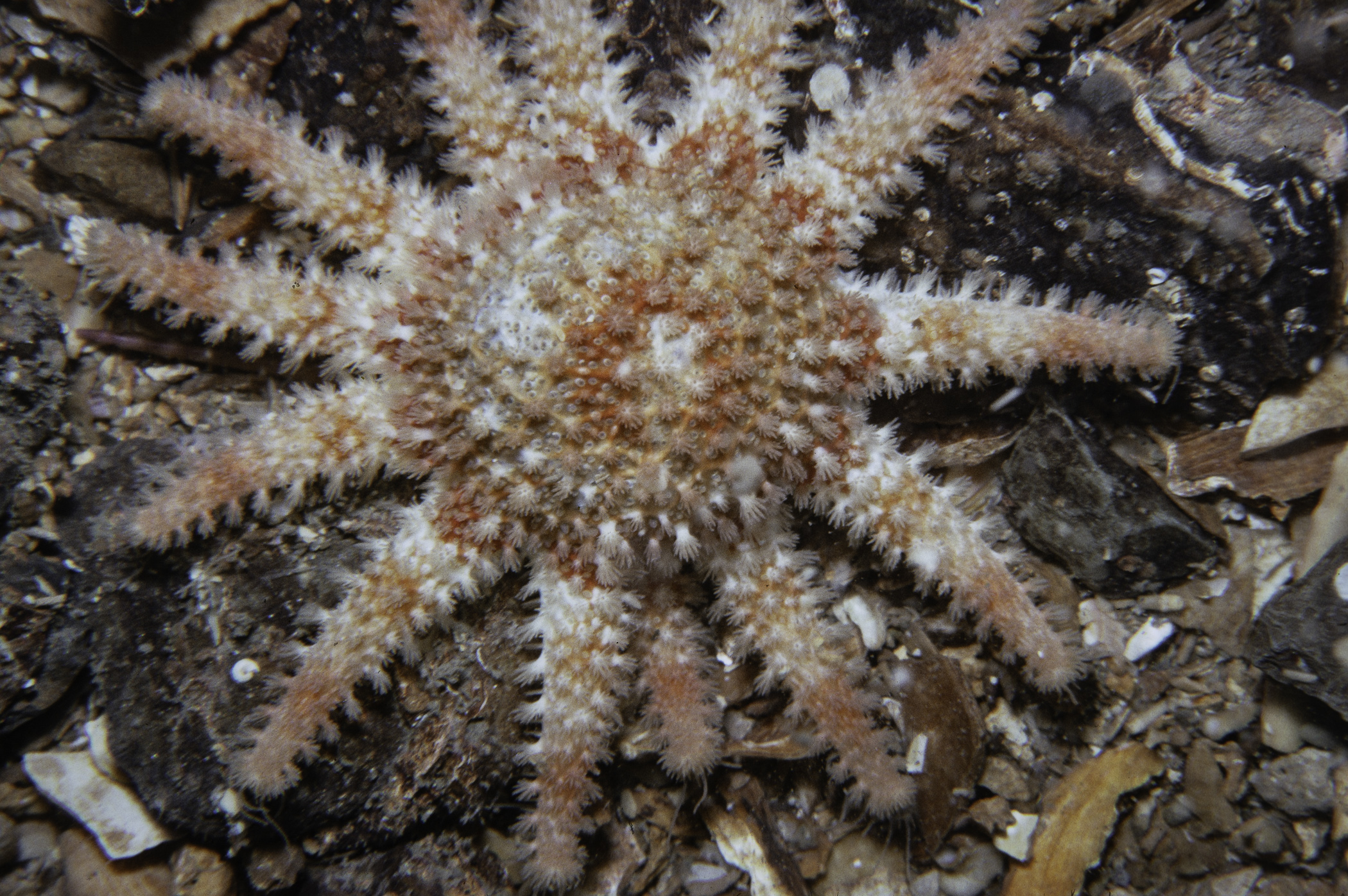
Crossaster papposus
Henricia oculata
Asterias rubens
Echinus esculentus
TUNICATA
Clavelina lepadiformis
PISCES
Squalus acanthias
Labrus mixtus
No biotope record.
PORIFERA
Pachymatisma johnstonia P
Raspailia sp. P
Cliona celata P
Phorbas fictitius P
Haliclona viscosa P
CNIDARIA
Tubularia sp. P
Sertularia argentea P
Alcyonium digitatum P
Metridium senile P
Actinothoe sphyrodeta P
CRUSTACEA
Cancer pagurus P
MOLLUSCA
Calliostoma zizyphinum P
BRYOZOA
Flustra foliacea P
ECHINODERMATA
Crossaster papposus P
Henricia oculata P
Asterias rubens P
Echinus esculentus P
TUNICATA
Clavelina lepadiformis P
PISCES
Squalus acanthias P
Labrus mixtus P
| Previous site | Next site |