Marine Biodiversity Data Portal - NI
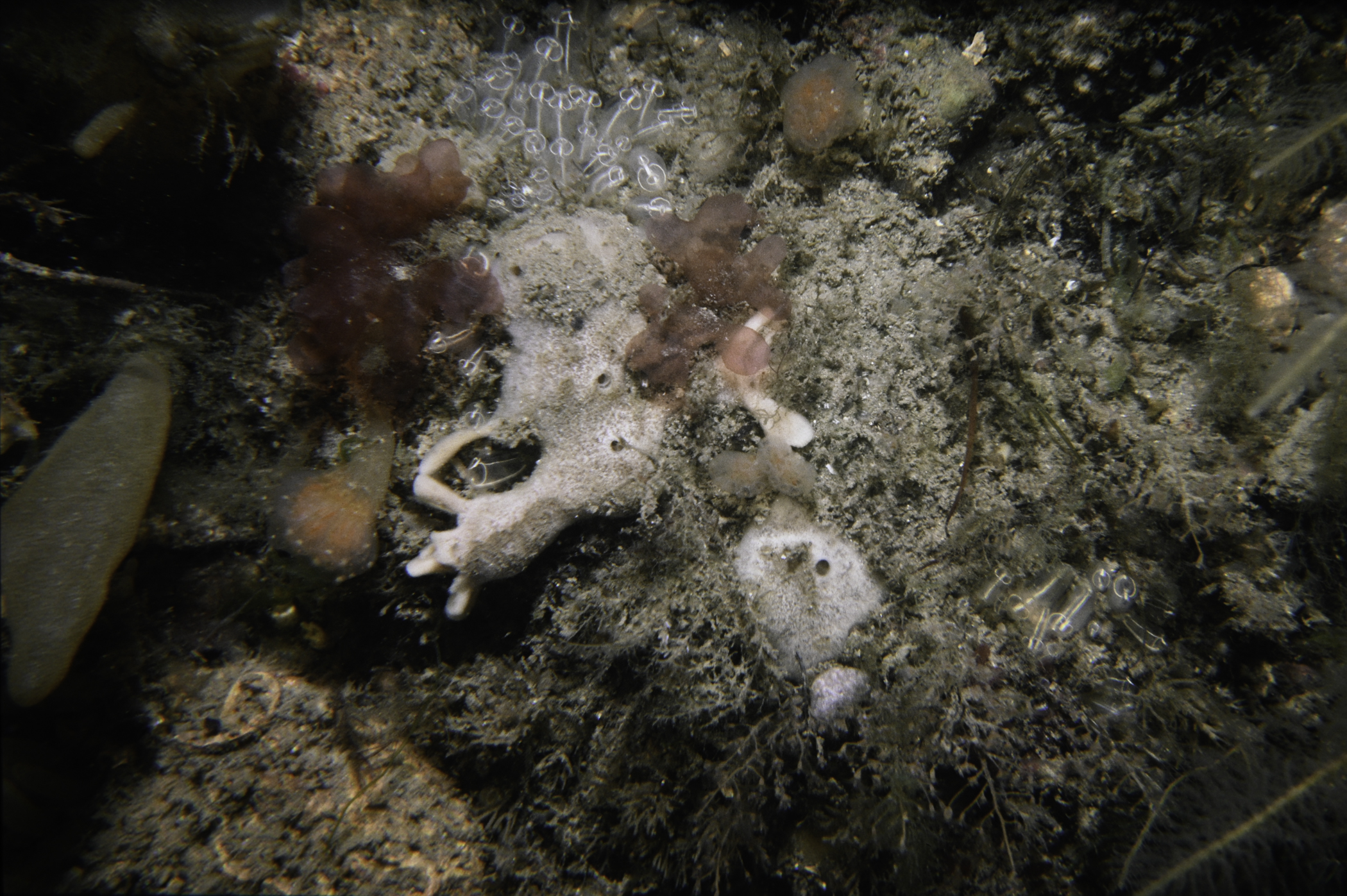
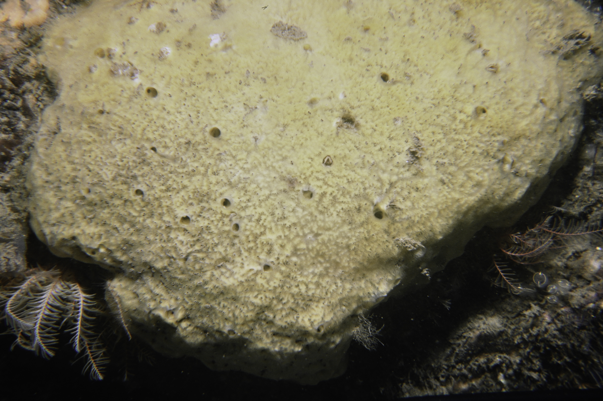
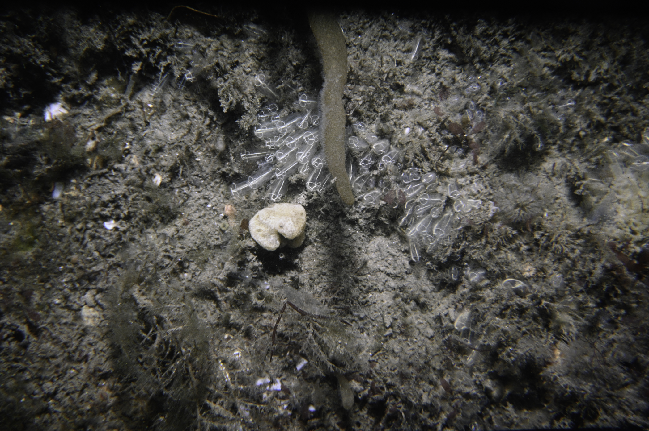
N of Green Island, Carlingford Lough.
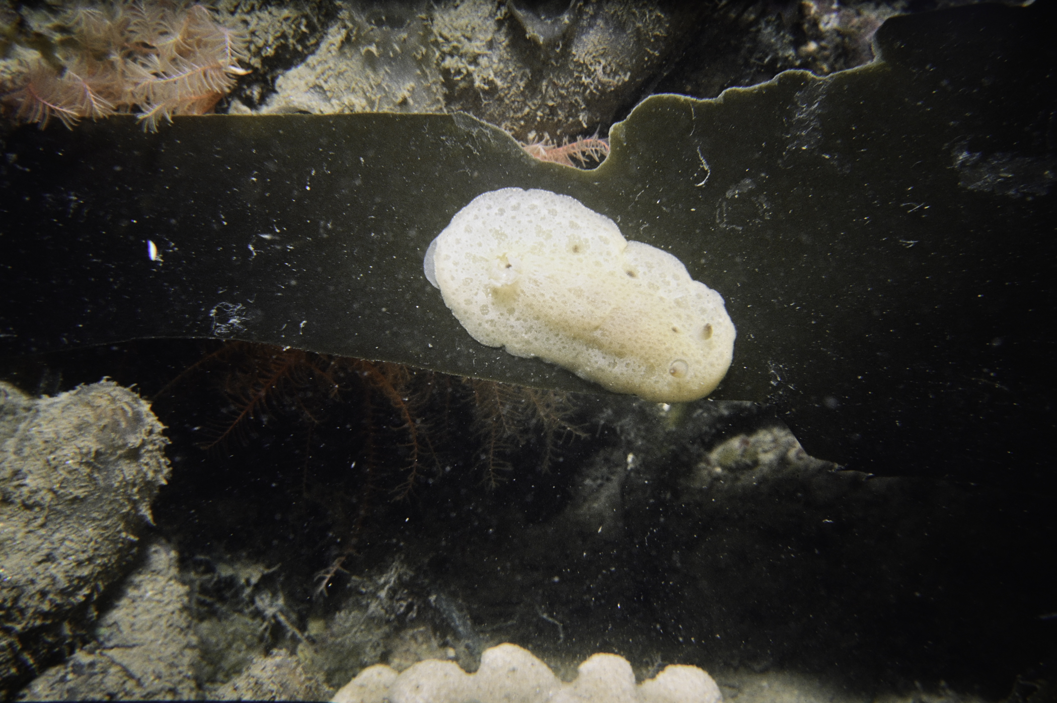
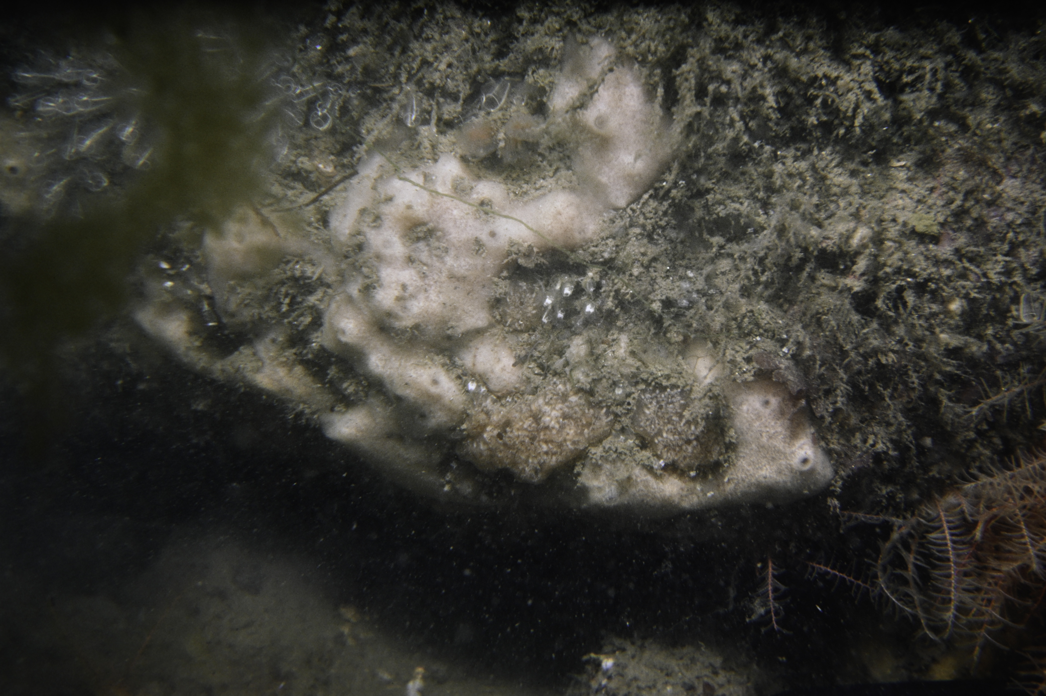
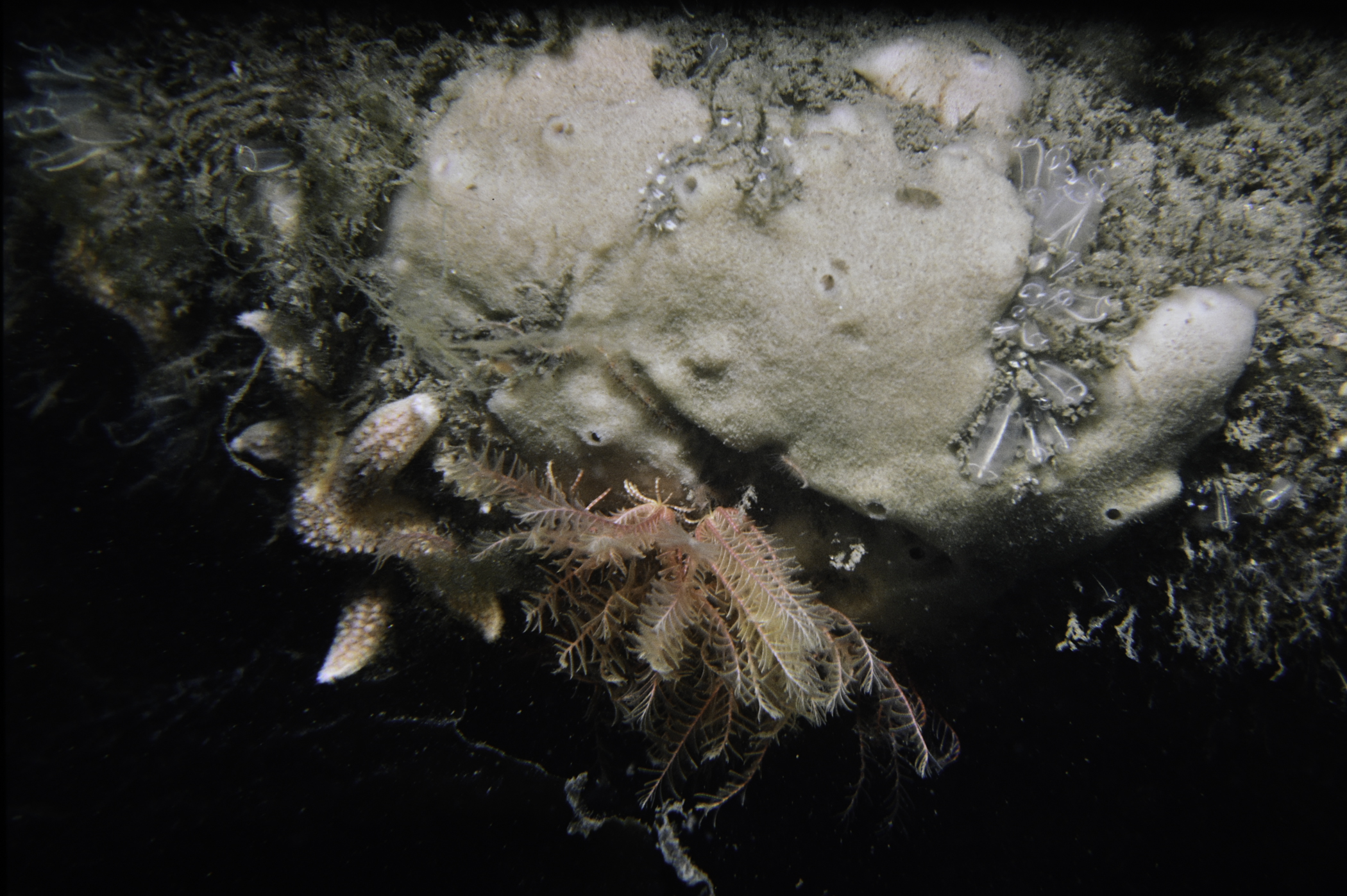
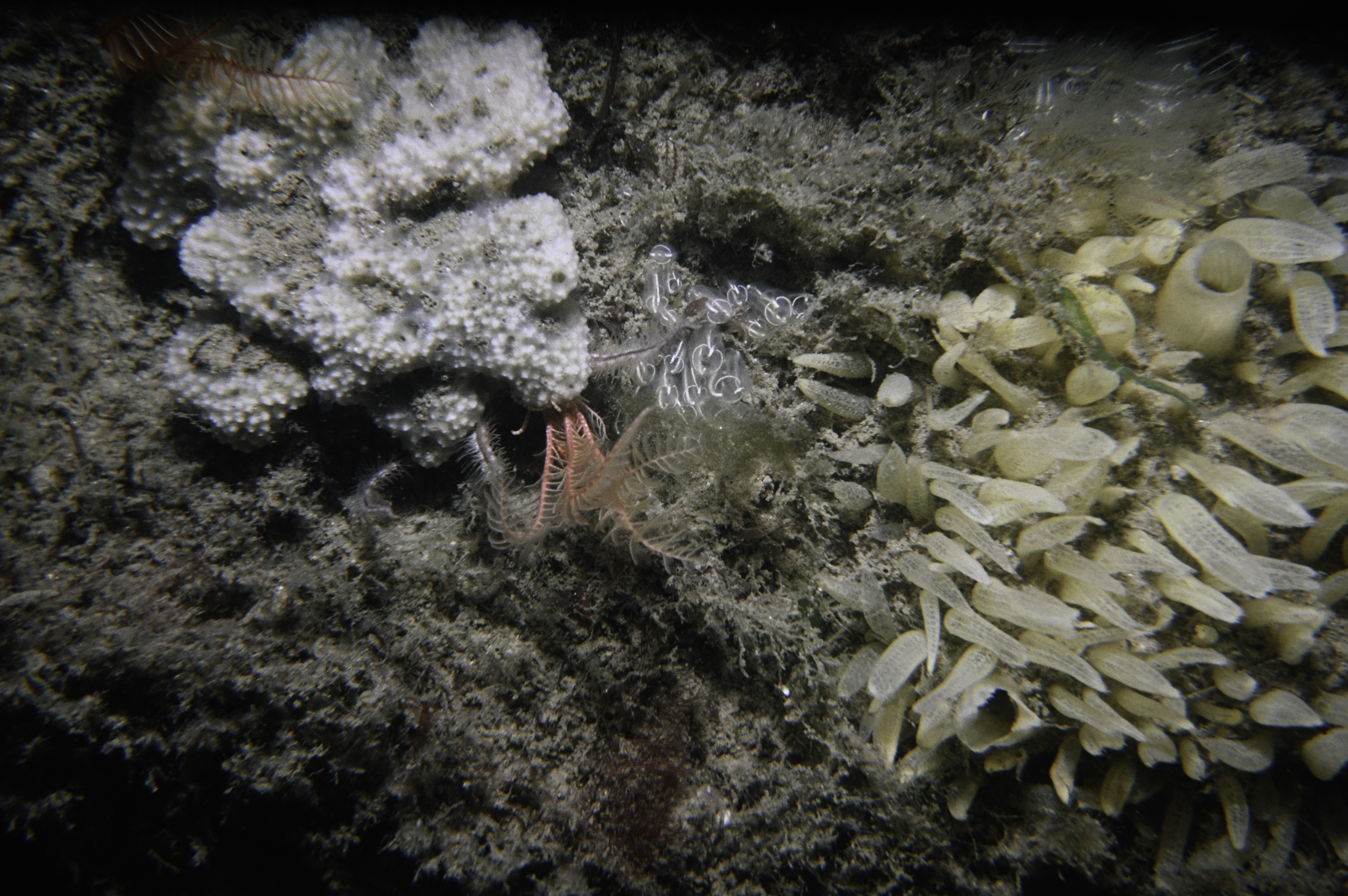
Survey number: 550 Event number: 19850531/05 Date: 1985-05-31 GPS: 54.03600,-6.10267. Depth: -7.0 to -8.0 m. [ View map ]
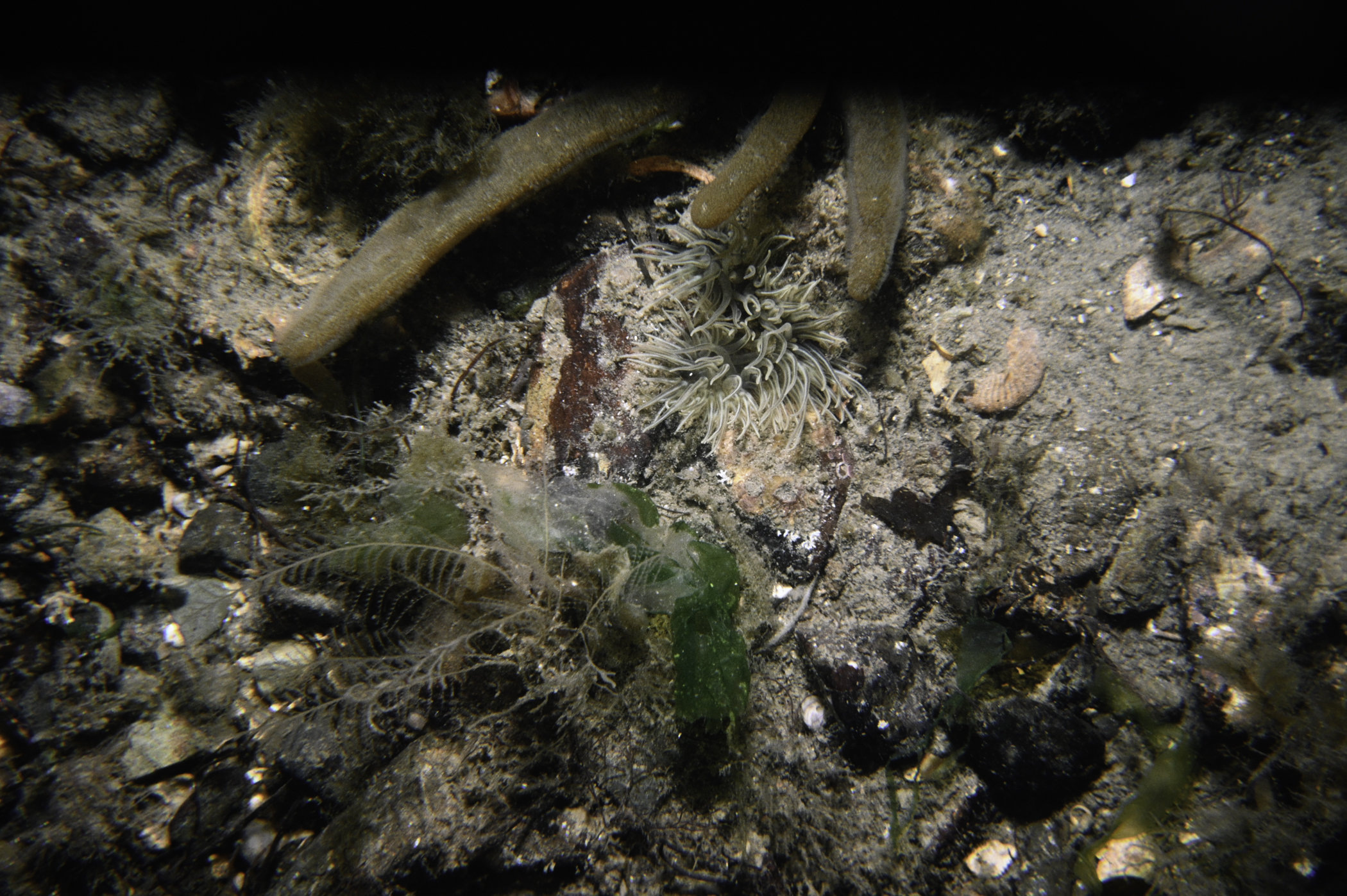
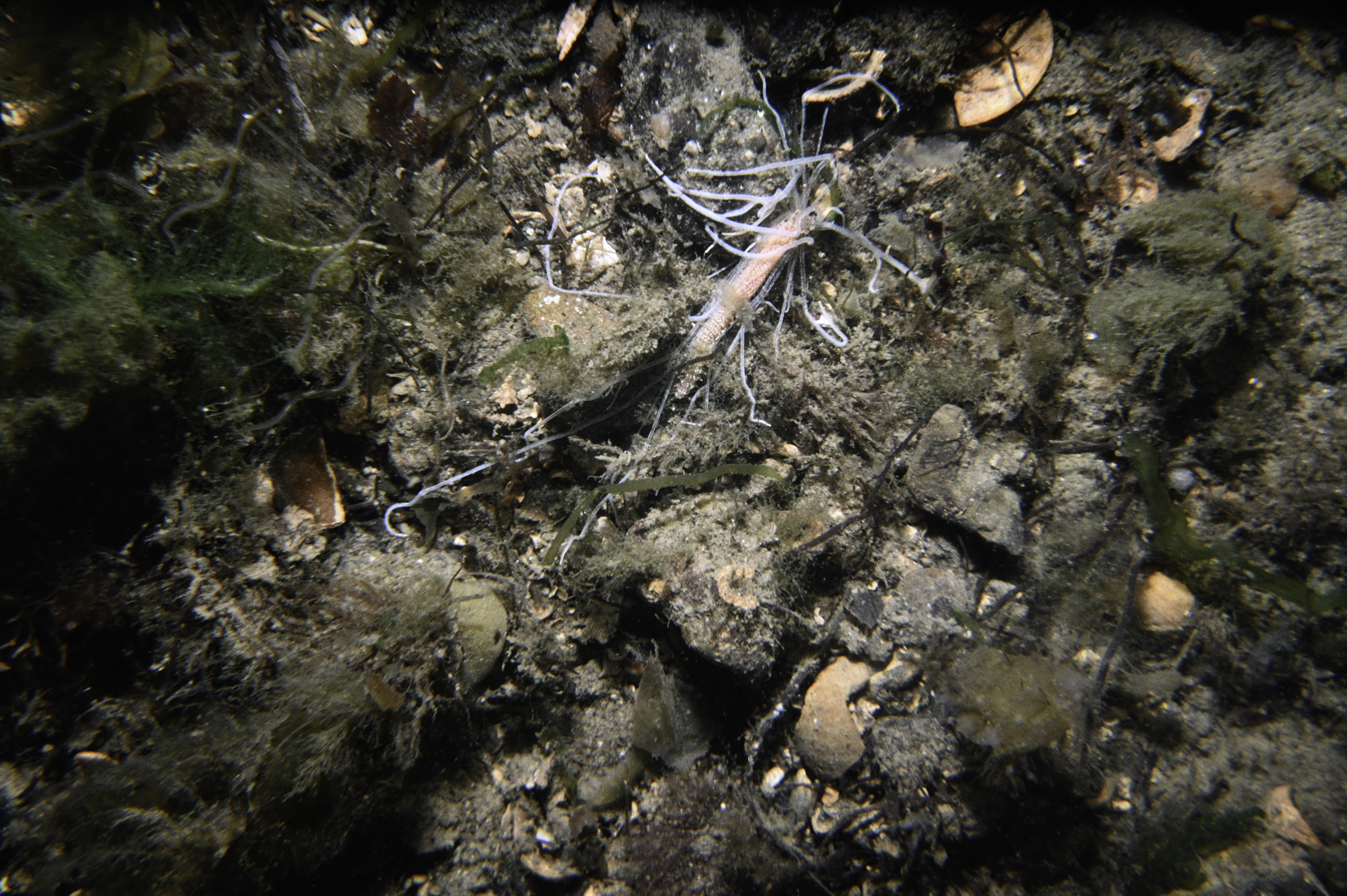
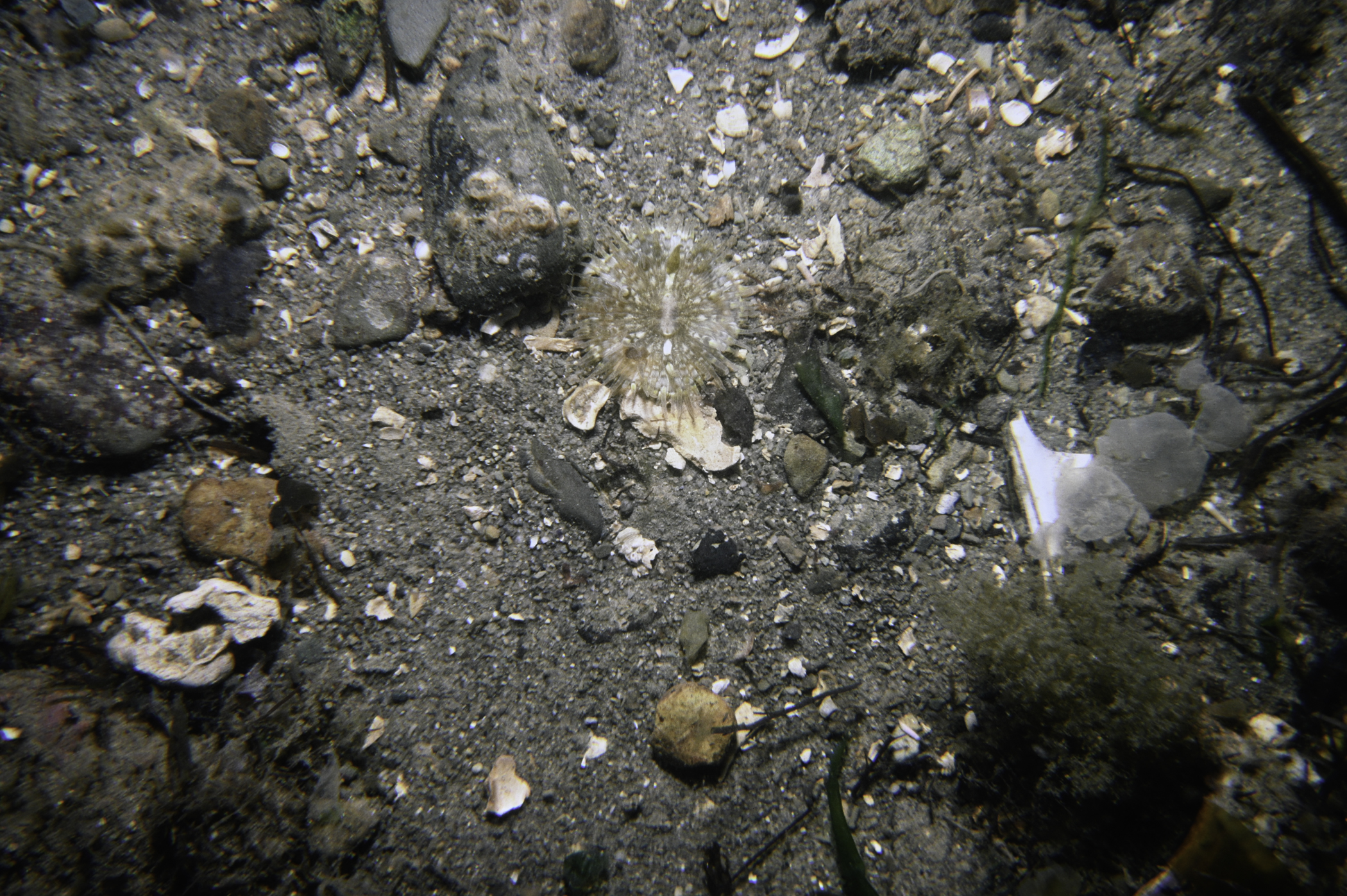
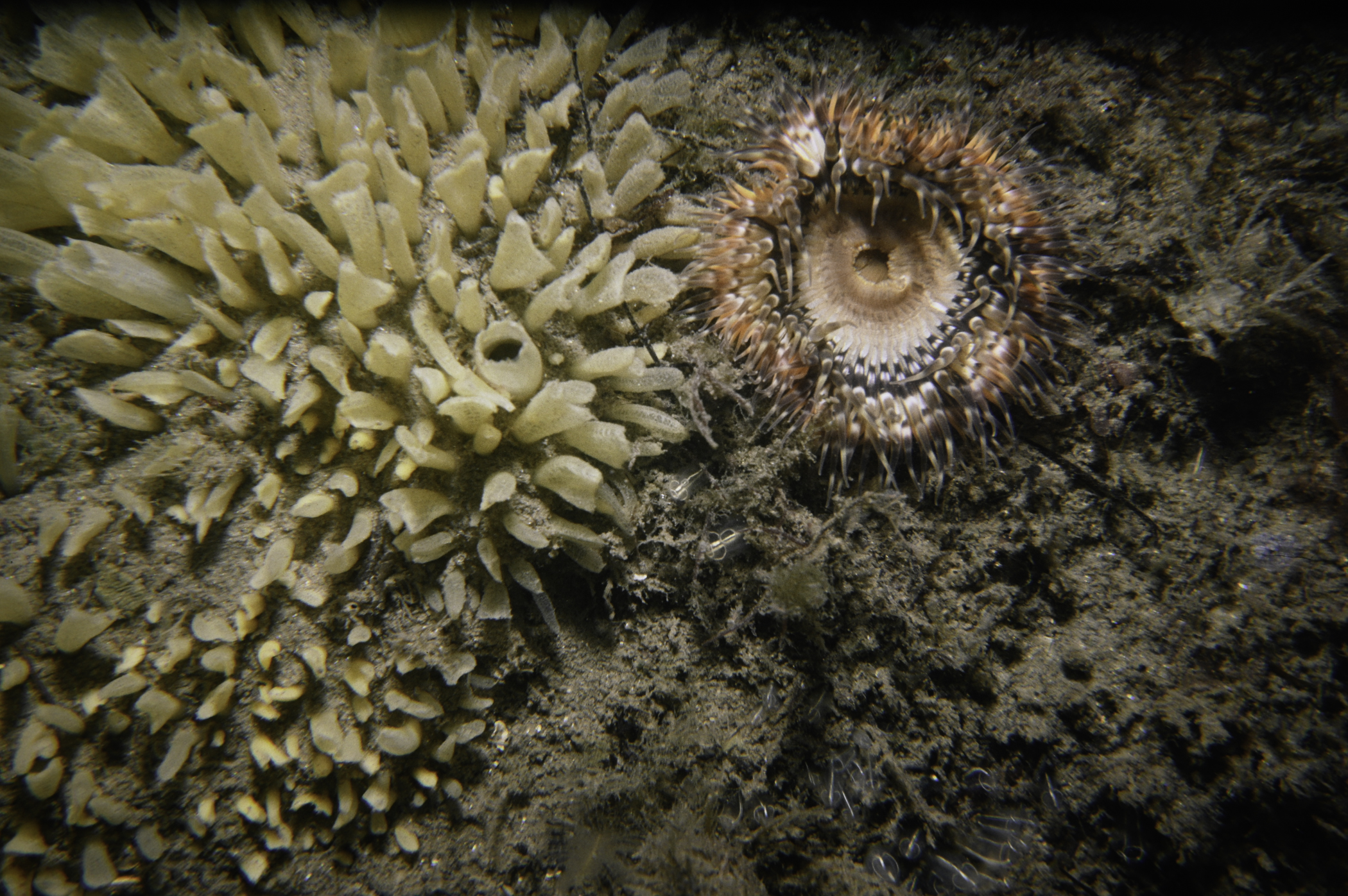
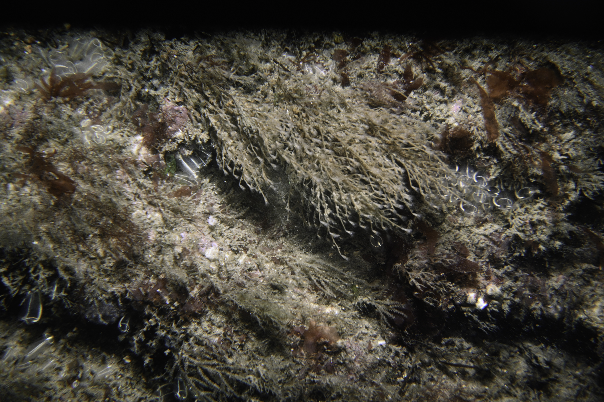
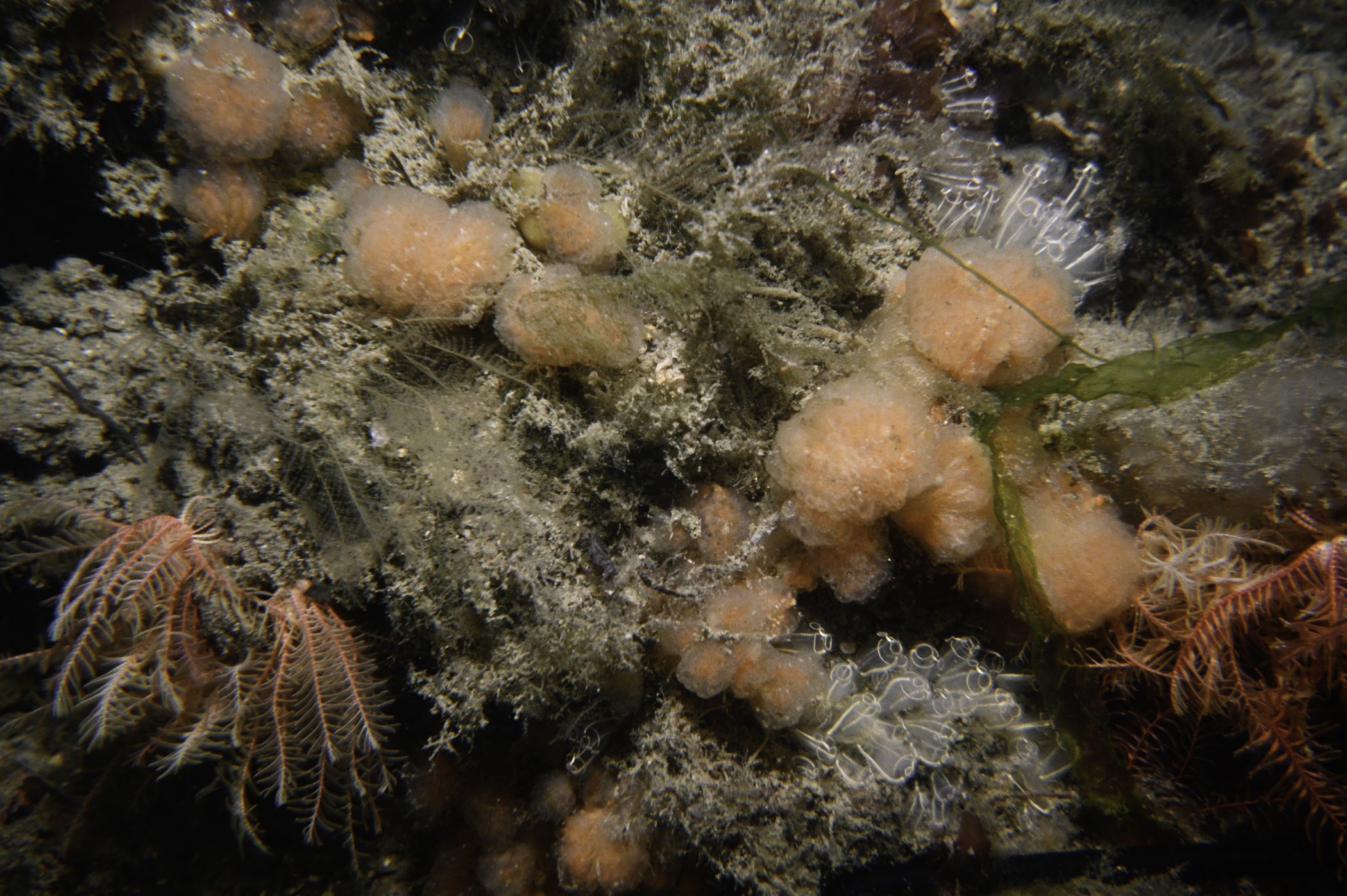
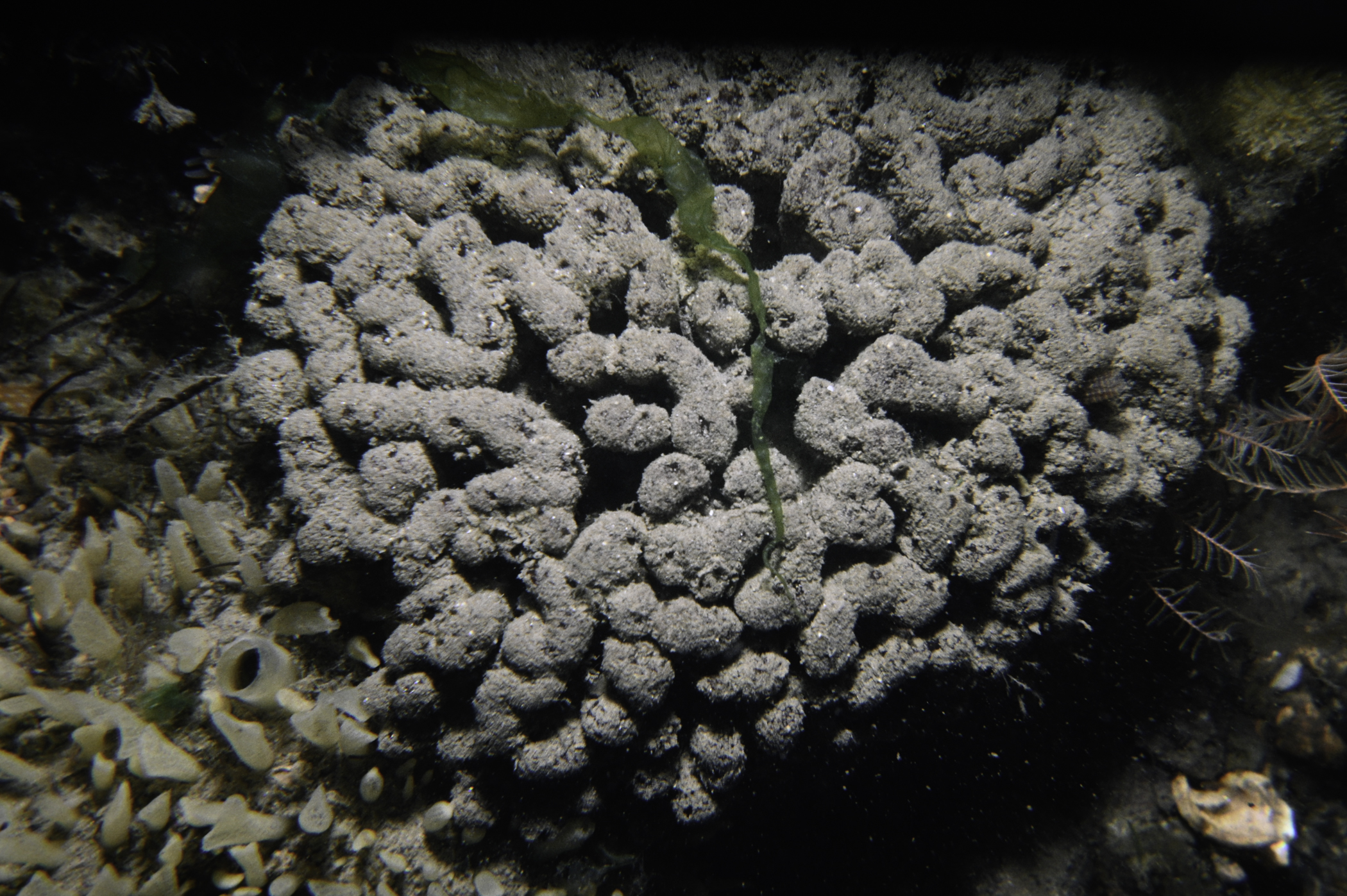
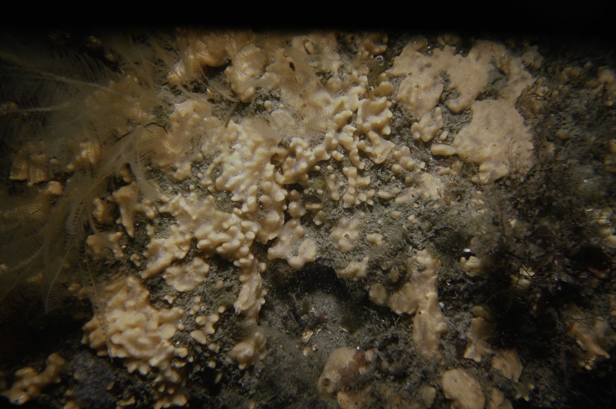
Site Description: Pinhead squirt-channel between two rocks-bottom muddy gravel with much drift weed; then sand; then bedrock
Species list (70 species recorded):
PORIFERA
Leucosolenia botryoides
Sycon ciliatum
Dysidea fragilis
Raspailia ramosa
Stelligera montagui
Polymastia boletiformis
Polymastia penicillus
Tethya citrina
Cliona celata
Mycale rotalis
Myxilla incrustans
Hymeniacidon perleve
Suberites carnosus
Haliclona fistulosa
CNIDARIA
Eudendrium sp.
Halecium halecinum
Sertularia argentea
Halopteris catharina
Kirchenpaueria pinnata
Nemertesia antennina
Nemertesia ramosa
Plumularia setacea
Alcyonium digitatum
Synarachnactis lloydii
Urticina felina
Cylista elegans
Cereus pedunculatus
Sagartia undata
ANNELIDA
Arenicola marina
Pomatoceros triqueter
CRUSTACEA
Balanus crenatus
Pagurus bernhardus
Galathea squamifera
Galathea strigosa
Pisidia longicornis
Cancer pagurus
Carcinus maenas
MOLLUSCA
Steromphala cineraria
Calliostoma zizyphinum
Trivia arctica
Jorunna tomentosa
Coryphella lineata
Edmundsella pedata
Pododesmus patelliformis
BRYOZOA
Alcyonidium diaphanum
Bicellariella ciliata
Parasmittina trispinosa
Cellepora pumicosa
ECHINODERMATA
Antedon bifida
Henricia oculata
Asterias rubens
Ophiothrix fragilis
Echinus esculentus
Pawsonia saxicola
TUNICATA
Clavelina lepadiformis
Distaplia rosea
Morchellium argus
Aplidium nordmanni
Aplidium punctum
Didemnum sp.
Corella parallelogramma
Ascidiella aspersa
PISCES
Syngnathus acus
RHODOPHYTA
Lithophyllum sp.
Cryptopleura ramosa
Delesseria sanguinea
Phycodrys rubens
CHROMOPHYTA
Dictyota dichotoma
CHLOROPHYTA
Ulva sp.
Ulva lactuca
No biotope record.
PORIFERA
Leucosolenia botryoides P
Sycon ciliatum P
Dysidea fragilis P
Raspailia ramosa P
Stelligera montagui P
Polymastia boletiformis P
Polymastia penicillus P
Tethya citrina P
Cliona celata P
Mycale rotalis P
Myxilla incrustans P
Hymeniacidon perleve P
Suberites carnosus P
Haliclona fistulosa P
CNIDARIA
Eudendrium sp. P
Halecium halecinum P
Sertularia argentea P
Halopteris catharina P
Kirchenpaueria pinnata P
Nemertesia antennina P
Nemertesia ramosa P
Plumularia setacea P
Alcyonium digitatum P
Synarachnactis lloydii P
Urticina felina P
Cylista elegans P
Cereus pedunculatus P
Sagartia undata P
ANNELIDA
Arenicola marina P
Pomatoceros triqueter P
CRUSTACEA
Balanus crenatus P
Pagurus bernhardus P
Galathea squamifera P
Galathea strigosa P
Pisidia longicornis P
Cancer pagurus P
Carcinus maenas P
MOLLUSCA
Steromphala cineraria P
Calliostoma zizyphinum P
Trivia arctica P
Jorunna tomentosa P
Coryphella lineata P
Edmundsella pedata P
Pododesmus patelliformis P
BRYOZOA
Alcyonidium diaphanum P
Bicellariella ciliata P
Parasmittina trispinosa P
Cellepora pumicosa P
ECHINODERMATA
Antedon bifida P
Henricia oculata P
Asterias rubens P
Ophiothrix fragilis P
Echinus esculentus P
Pawsonia saxicola P
TUNICATA
Clavelina lepadiformis P
Distaplia rosea P
Morchellium argus P
Aplidium nordmanni P
Aplidium punctum P
Didemnum sp. P
Corella parallelogramma P
Ascidiella aspersa P
PISCES
Syngnathus acus P
RHODOPHYTA
Lithophyllum sp. P
Cryptopleura ramosa P
Delesseria sanguinea P
Phycodrys rubens P
CHROMOPHYTA
Dictyota dichotoma P
CHLOROPHYTA
Ulva sp. P
Ulva lactuca P
| Previous site | Next site |
