Marine Biodiversity Data Portal - NI
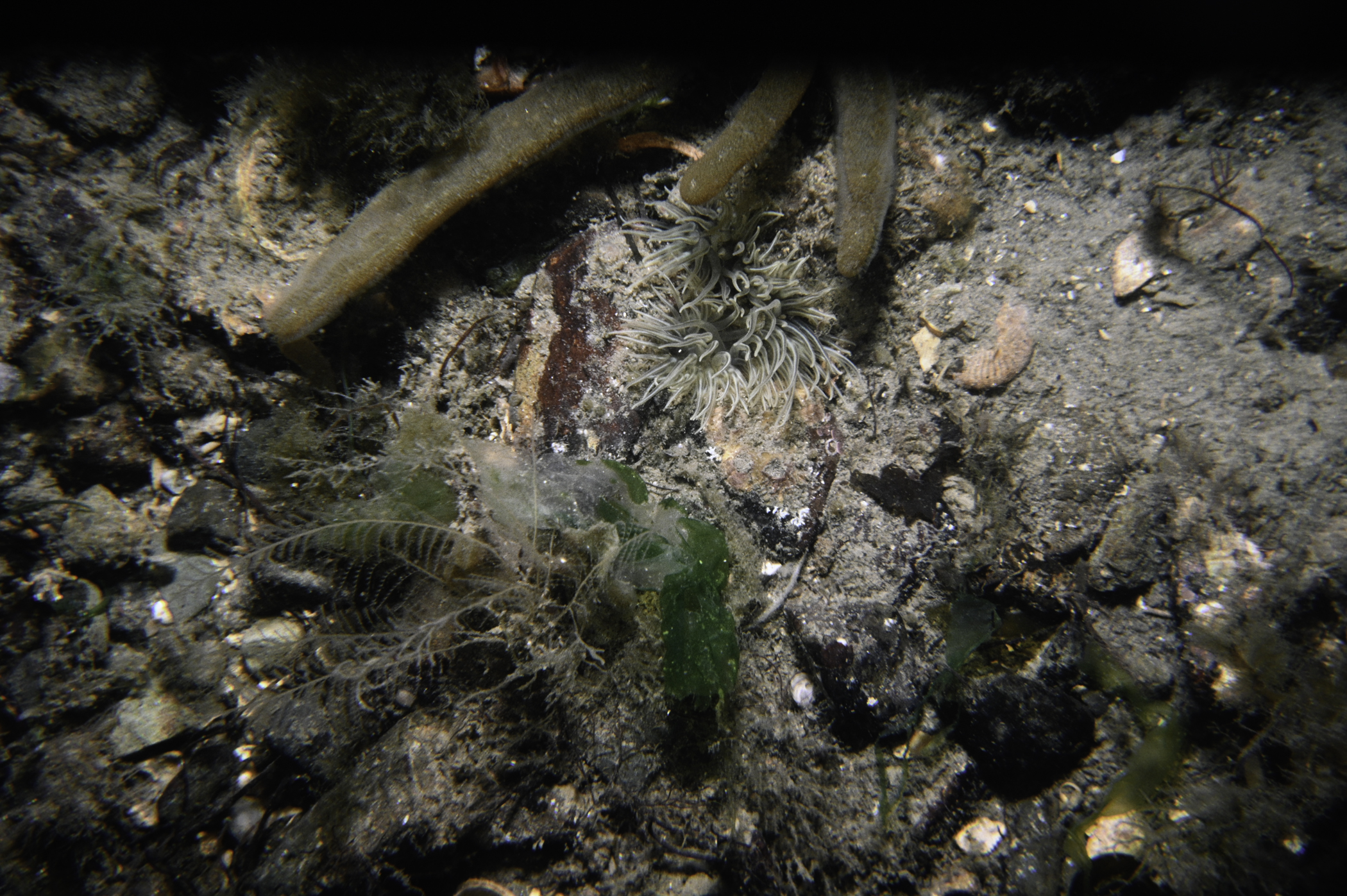
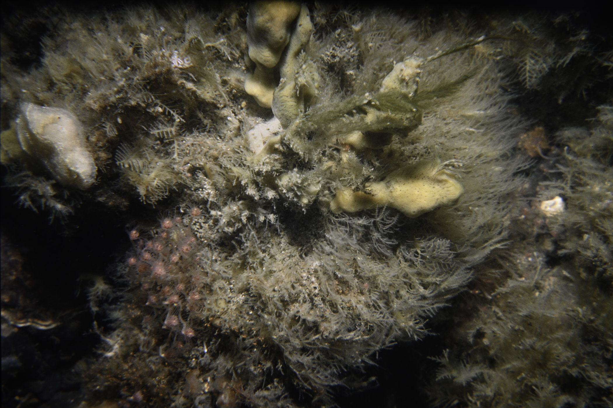
S of New England Rock, Carlingford Lough.
Survey number: 550 Event number: 19850531/04 Date: 1985-05-31 GPS: 54.02417,-6.07833. Depth: -23.0 to -24.0 m. [ View map ]
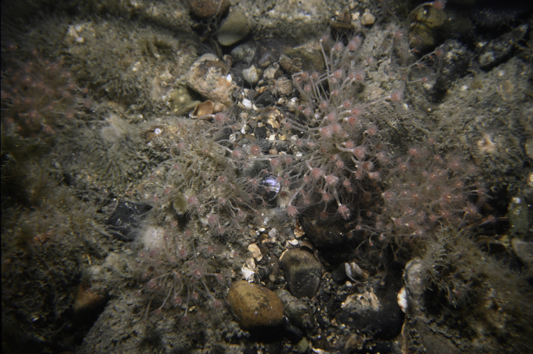
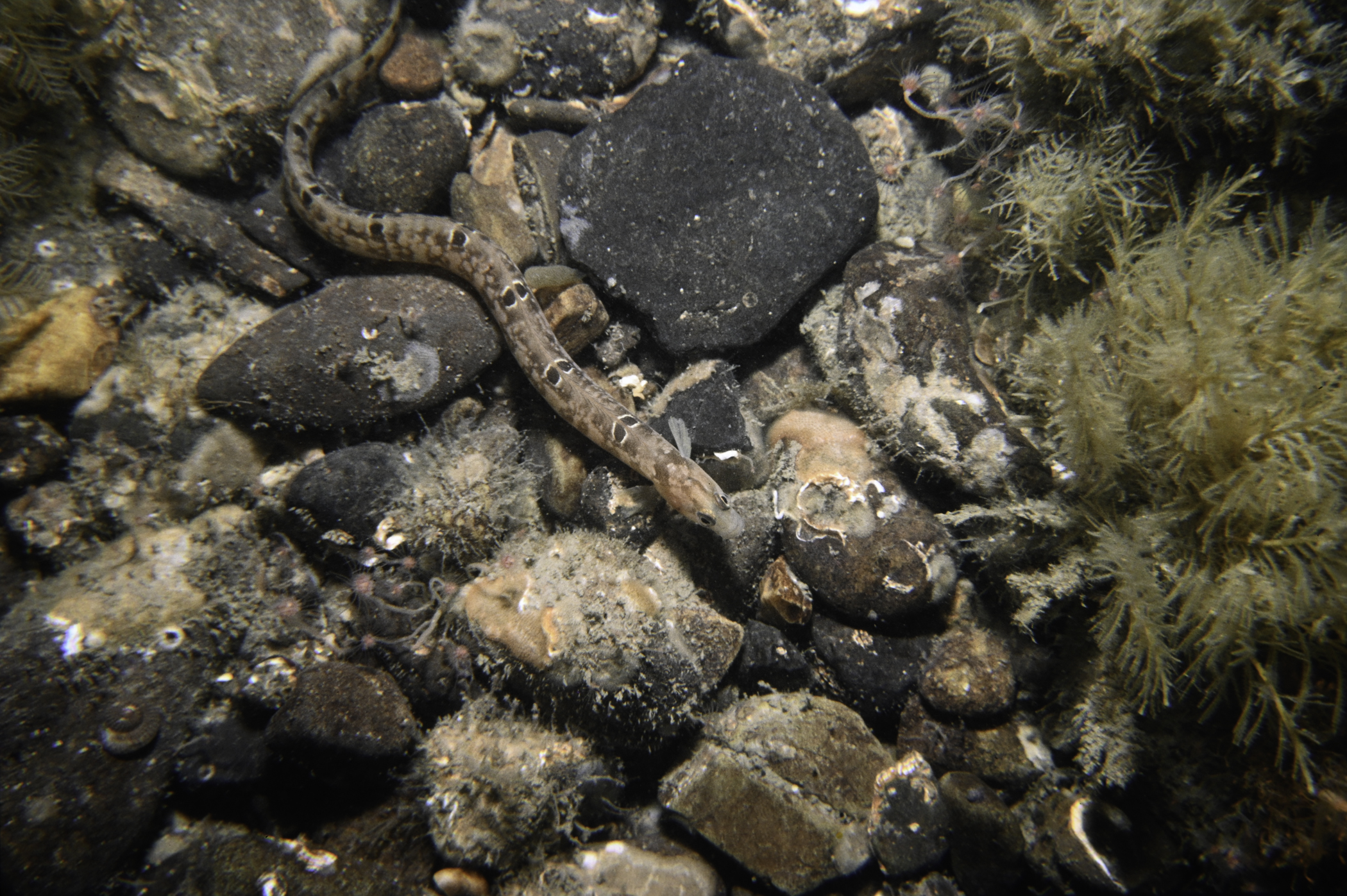
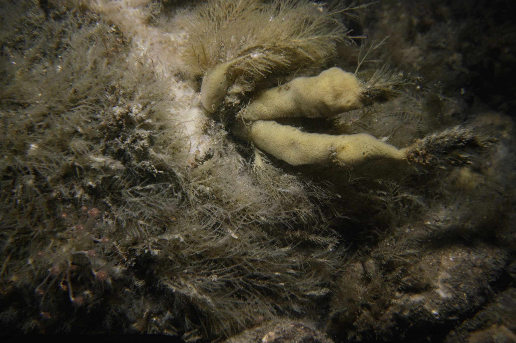
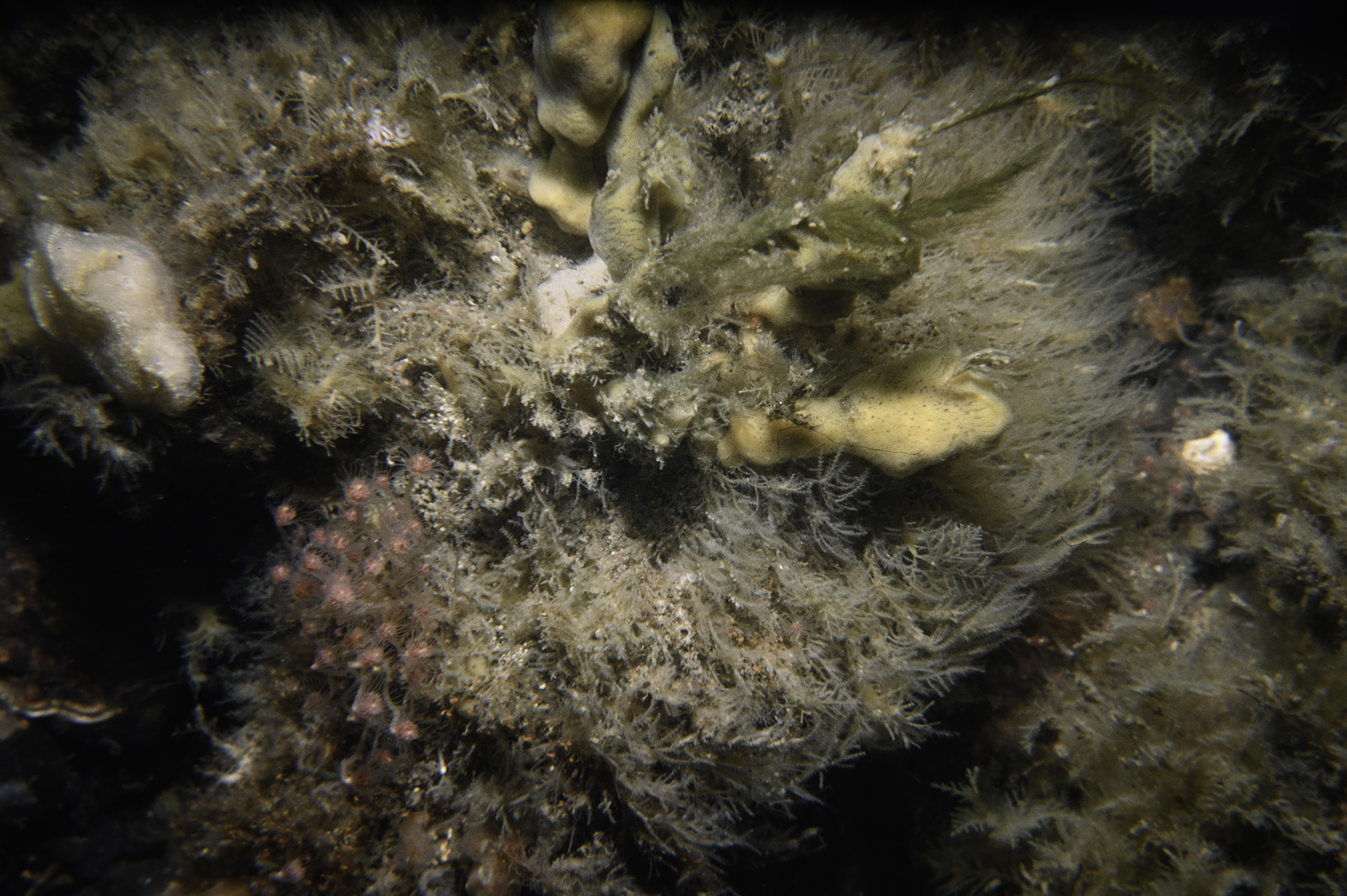
Site Description: Boulders and cobbles with hydroids and sponges-strong tidal stream.
Species list (28 species recorded):
PORIFERA
Leucosolenia sp.
Sycon ciliatum
Phorbas fictitius
Mycale rotalis
CNIDARIA
Tubularia indivisa
Ectopleura larynx
Garveia nutans
Diphasia rosacea
Hydrallmania falcata
Sertularia argentea
Kirchenpaueria pinnata
Alcyonium digitatum
Urticina eques
CRUSTACEA
Balanus crenatus
Pagurus bernhardus
Necora puber
MOLLUSCA
Calliostoma zizyphinum
BRYOZOA
Alcyonidium diaphanum
ECHINODERMATA
Crossaster papposus
Henricia oculata
Asterias rubens
Echinus esculentus
TUNICATA
Aplidium punctum
Botryllus schlosseri
Botrylloides leachi
PISCES
Scyliorhinus canicula
Chirolophis ascanii
Pholis gunnellus
No biotope record.
PORIFERA
Leucosolenia sp. P
Sycon ciliatum P
Phorbas fictitius P
Mycale rotalis P
CNIDARIA
Tubularia indivisa P
Ectopleura larynx P
Garveia nutans P
Diphasia rosacea P
Hydrallmania falcata P
Sertularia argentea P
Kirchenpaueria pinnata P
Alcyonium digitatum P
Urticina eques P
CRUSTACEA
Balanus crenatus P
Pagurus bernhardus P
Necora puber P
MOLLUSCA
Calliostoma zizyphinum P
BRYOZOA
Alcyonidium diaphanum P
ECHINODERMATA
Crossaster papposus P
Henricia oculata P
Asterias rubens P
Echinus esculentus P
TUNICATA
Aplidium punctum P
Botryllus schlosseri P
Botrylloides leachi P
PISCES
Scyliorhinus canicula P
Chirolophis ascanii P
Pholis gunnellus P
| Previous site | Next site |
