Marine Biodiversity Data Portal - NI
W of Black Rock, Strangford Lough.
Survey number: 550 Event number: 19830809/08 Date: 1983-08-09 GPS: 54.43100,-5.62517 [ View map ]
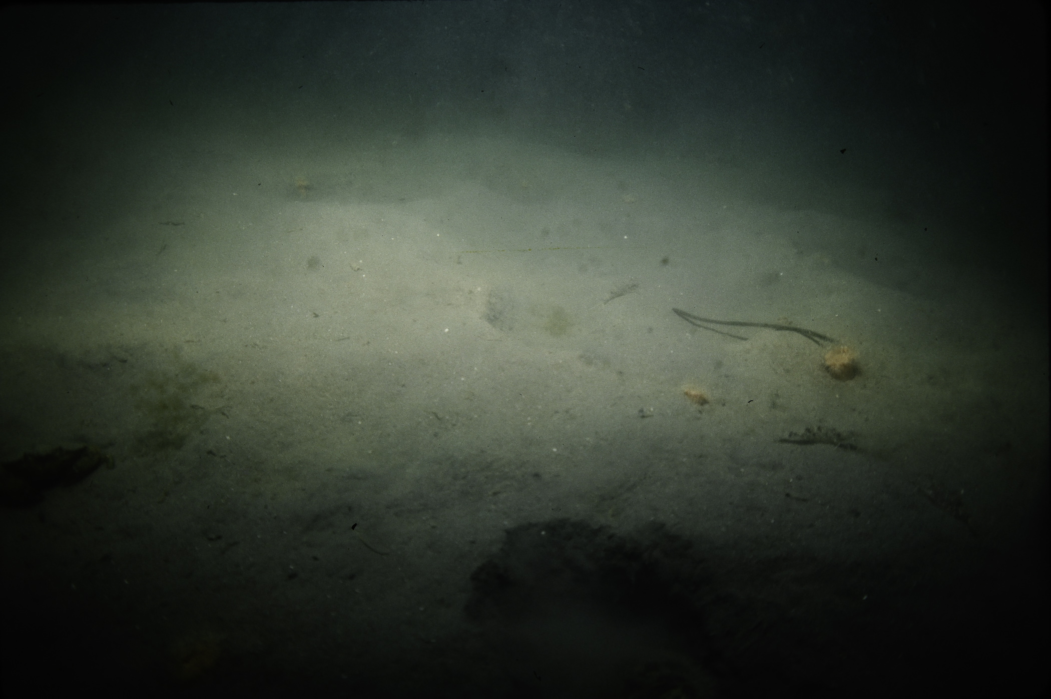
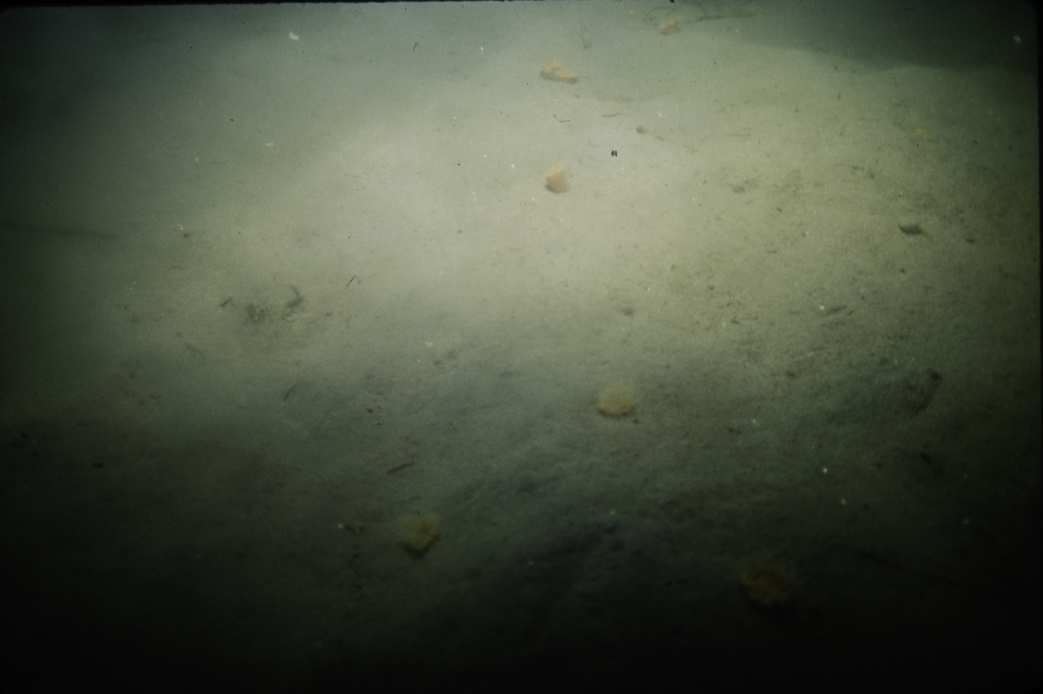
Site Description: Mud slope with very little other than Sagartiogeton; Lanice and Carcinus.
Species list (15 species recorded):
PORIFERA
Suberites ficus
CNIDARIA
Synarachnactis lloydii
Sagartia lacerata
Sagartia undata
ANNELIDA
Lanice conchilega
Chone infundibuliformis
CRUSTACEA
Pagurus bernhardus
Polybius depurator
Carcinus maenas
TUNICATA
Ascidiella aspersa
PISCES
Pomatoschistus pictus
RHODOPHYTA
Gracilaria gracilis
CHROMOPHYTA
Dictyota dichotoma
Chorda filum
Saccharina latissima
No biotope record.
PORIFERA
Suberites ficus P
CNIDARIA
Synarachnactis lloydii P
Sagartia lacerata P
Sagartia undata P
ANNELIDA
Lanice conchilega P
Chone infundibuliformis P
CRUSTACEA
Pagurus bernhardus P
Polybius depurator P
Carcinus maenas P
TUNICATA
Ascidiella aspersa P
PISCES
Pomatoschistus pictus P
RHODOPHYTA
Gracilaria gracilis P
CHROMOPHYTA
Dictyota dichotoma P
Chorda filum P
Saccharina latissima P
| Previous site | Next site |

