Marine Biodiversity Data Portal - NI
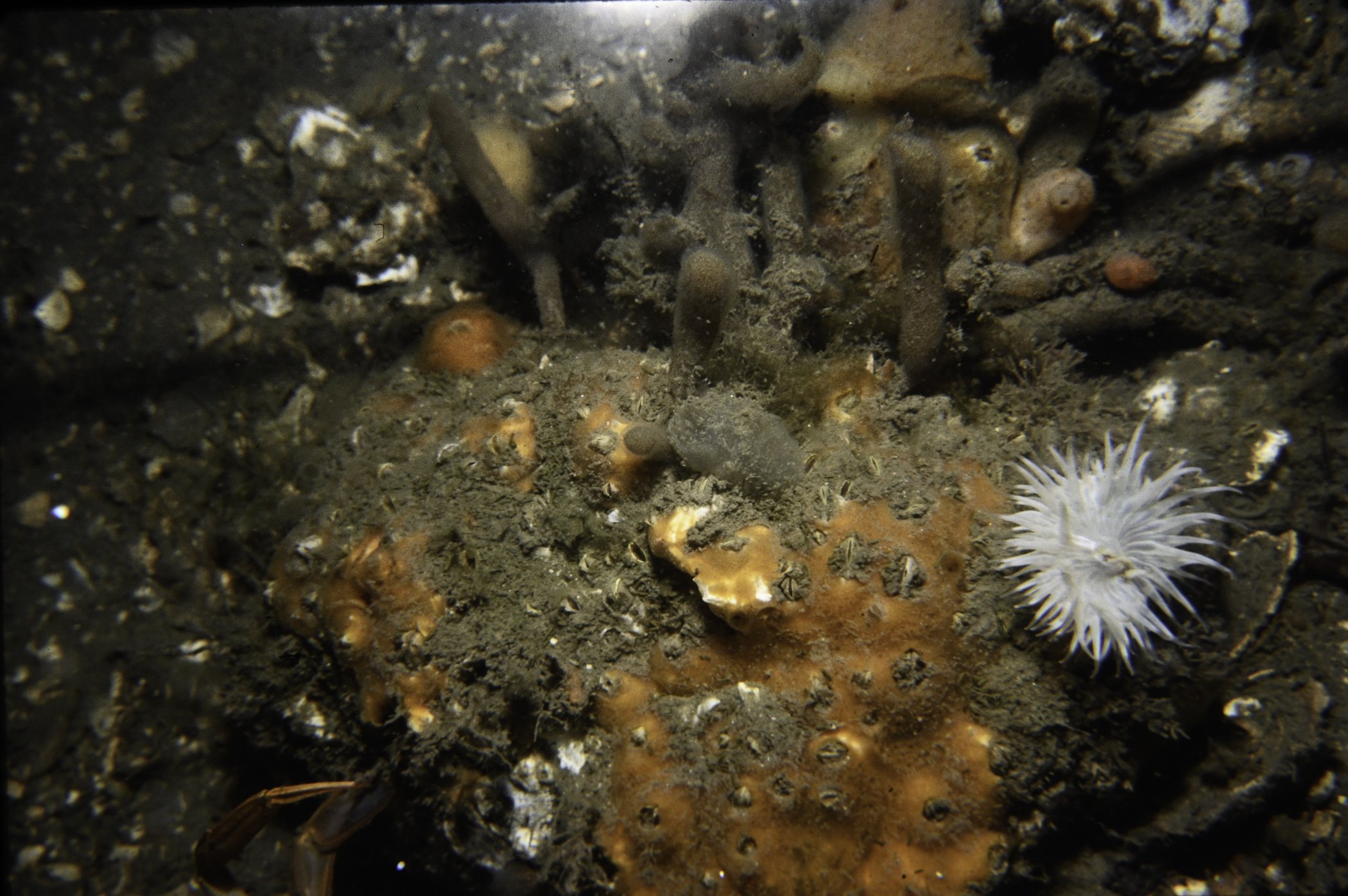
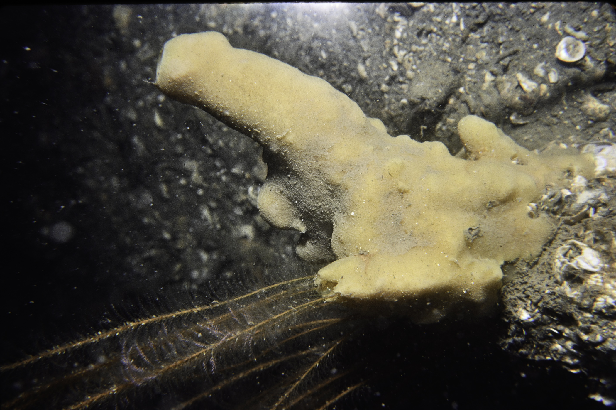
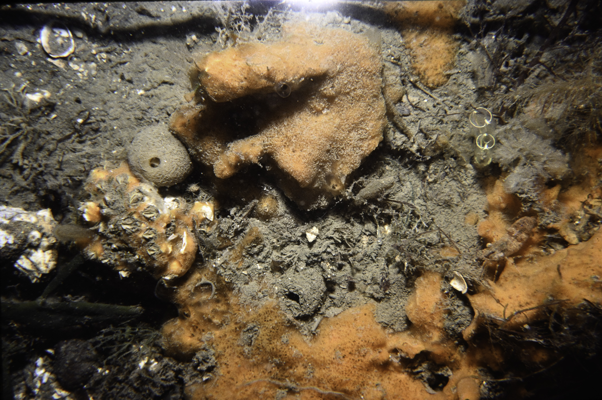
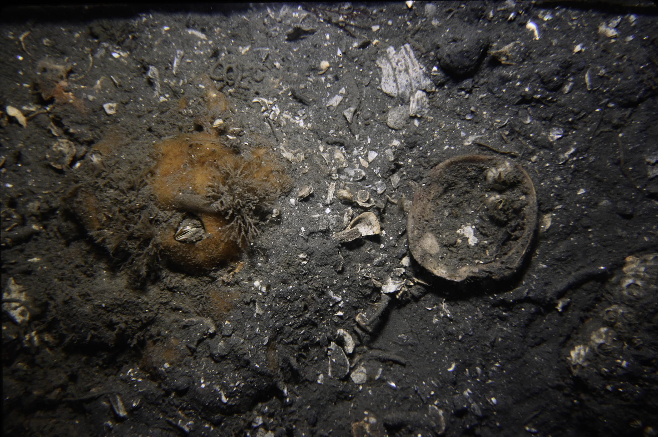
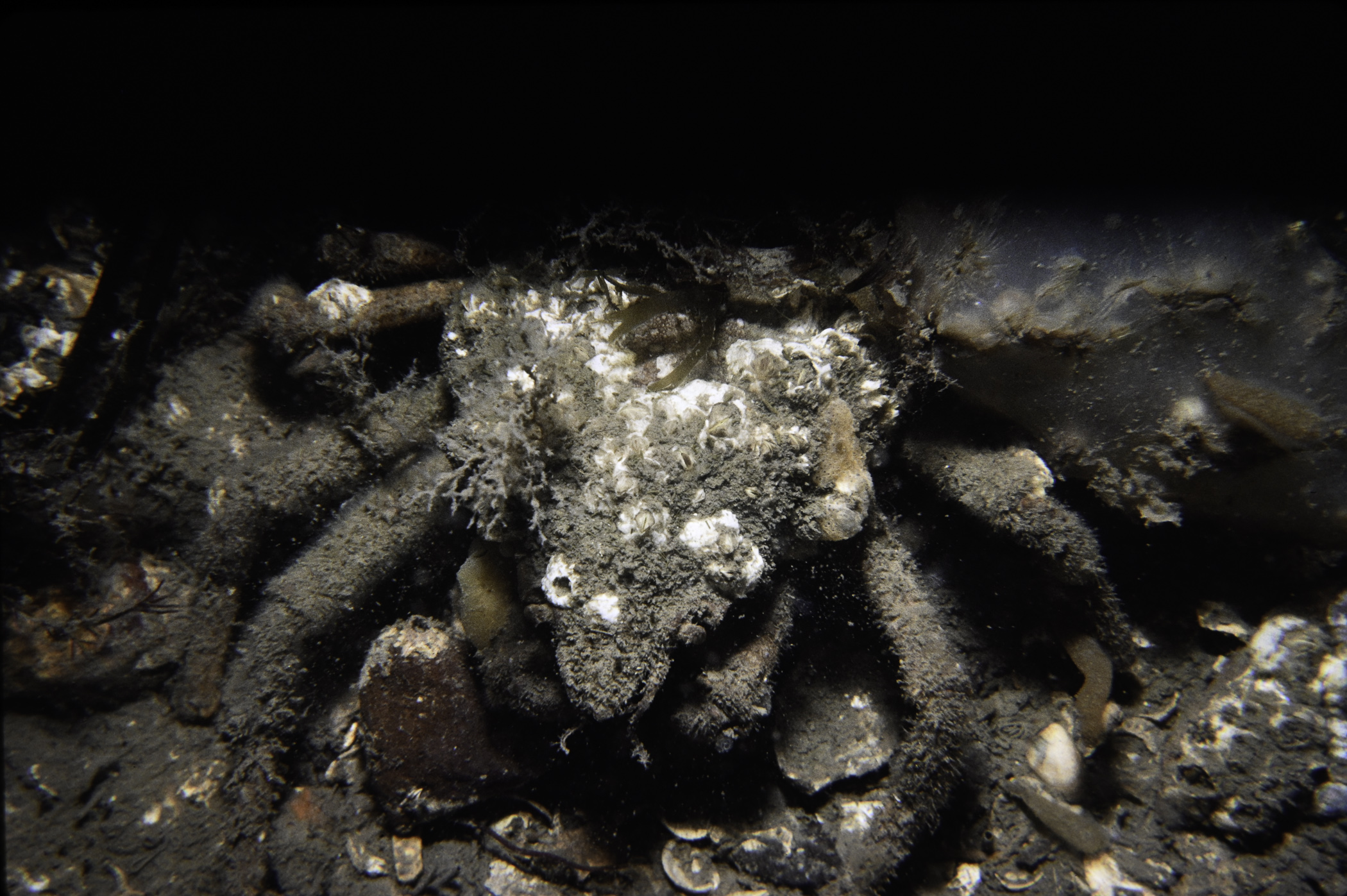
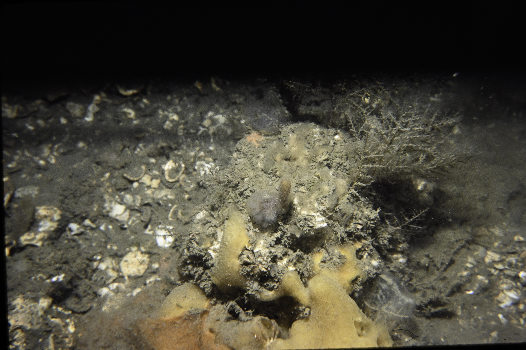
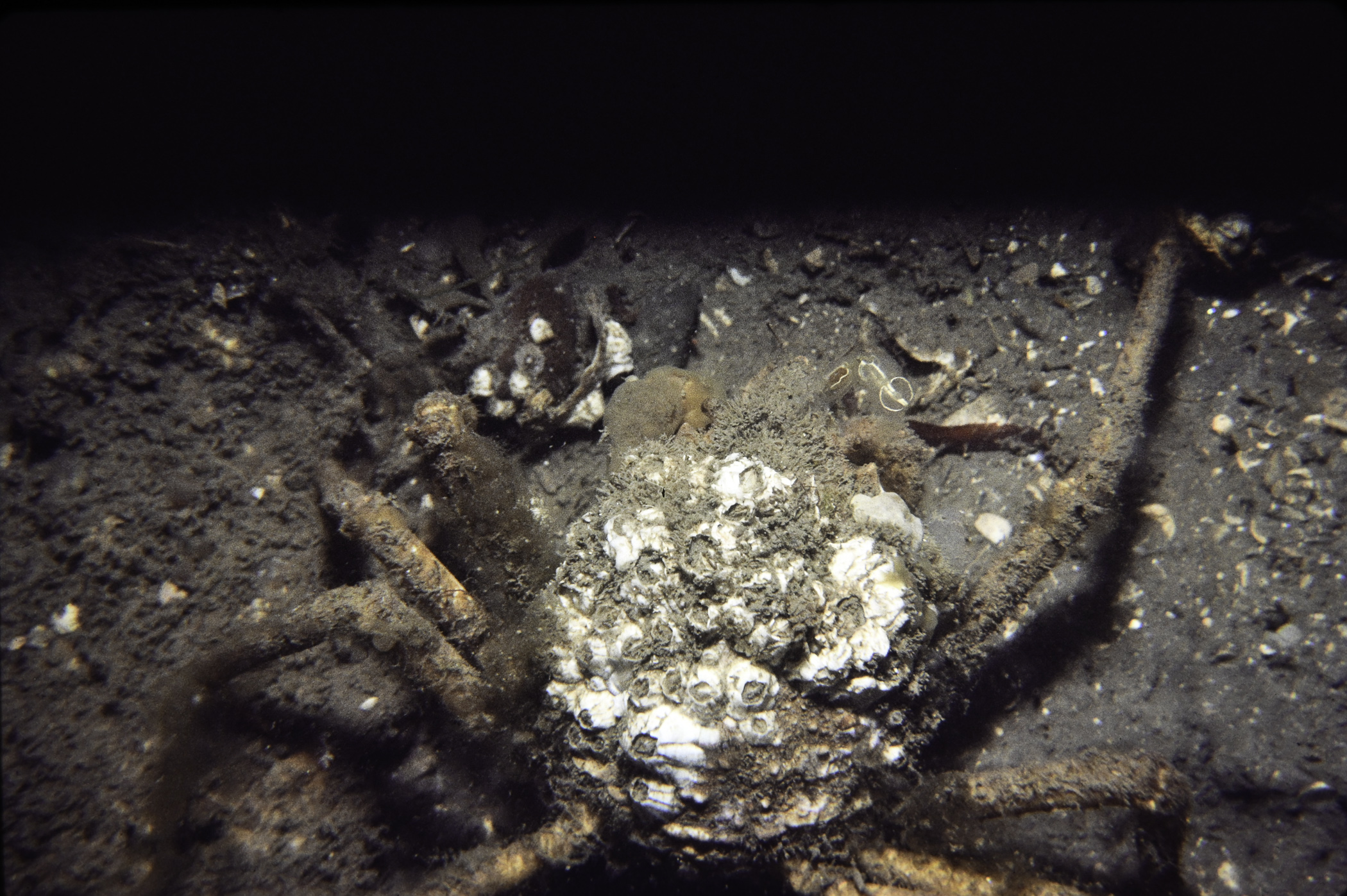
W of Black Rock, Strangford Lough.
Survey number: 550 Event number: 19830809/07 Date: 1983-08-09 GPS: 54.43000,-5.62450. Depth: -17.0 to -18.0 m. [ View map ]
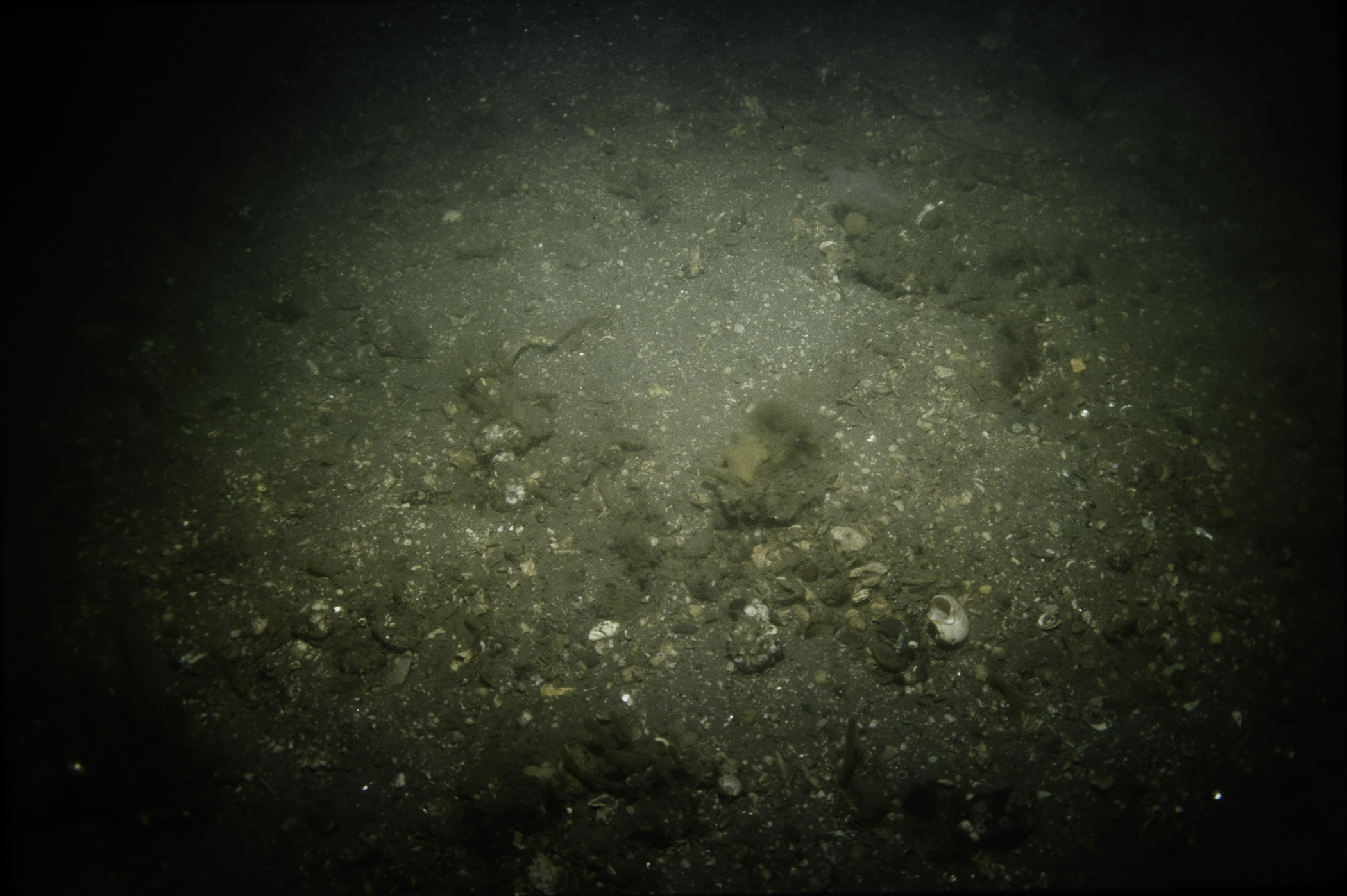
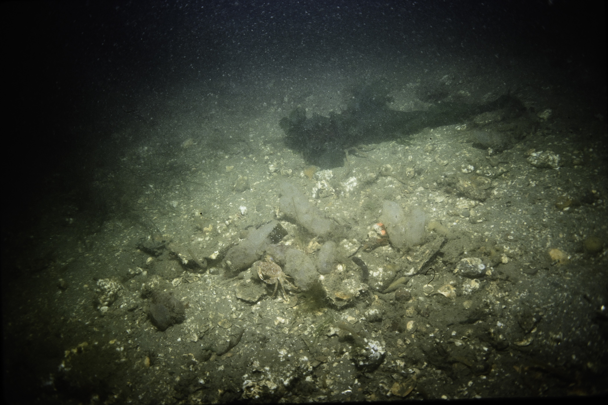
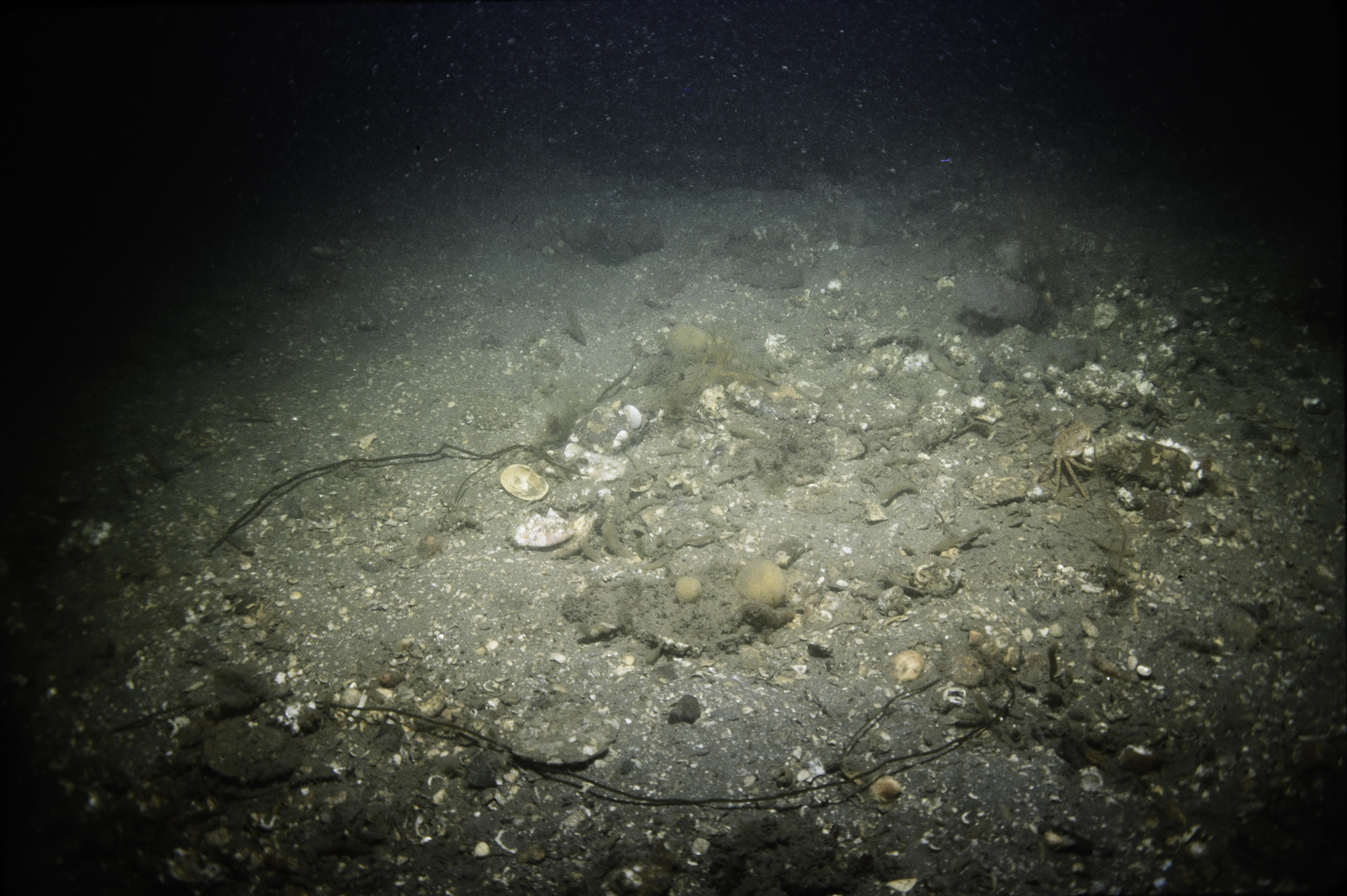
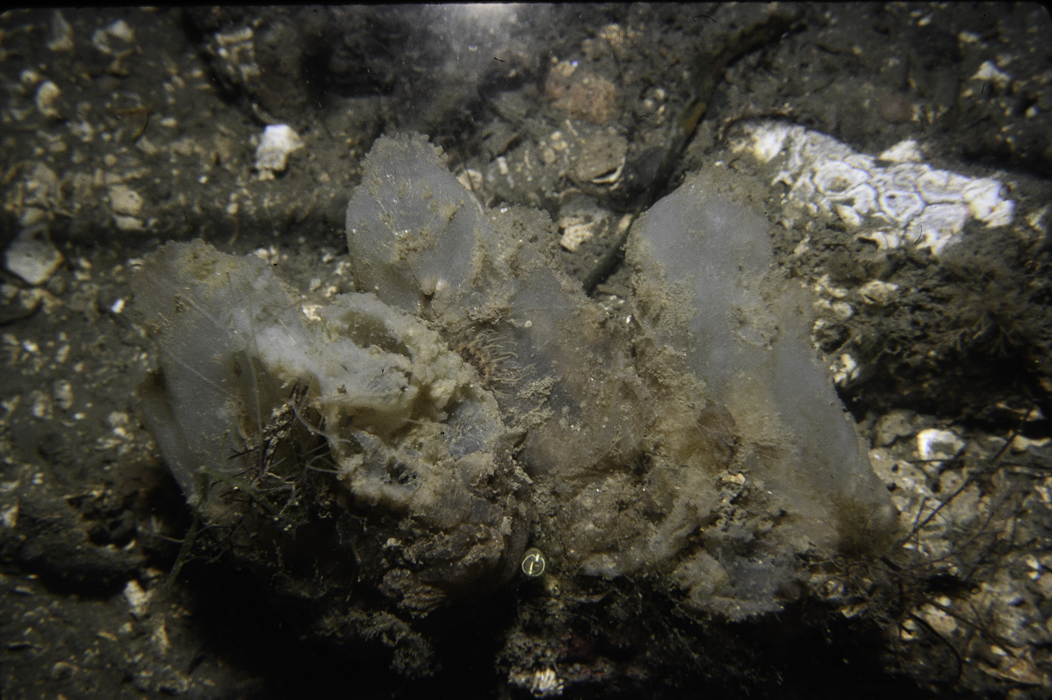
Site Description: Bottom very shelly mud with few bored cobbles.
 |
 |
 |
 |
 |
 |
 |
 |
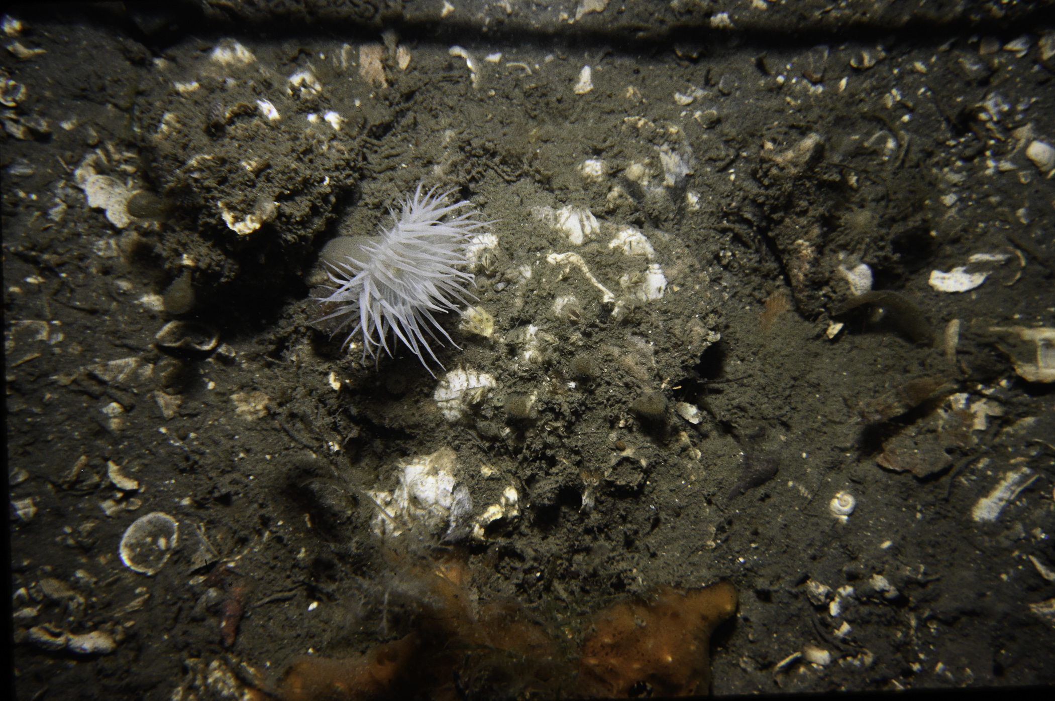 |
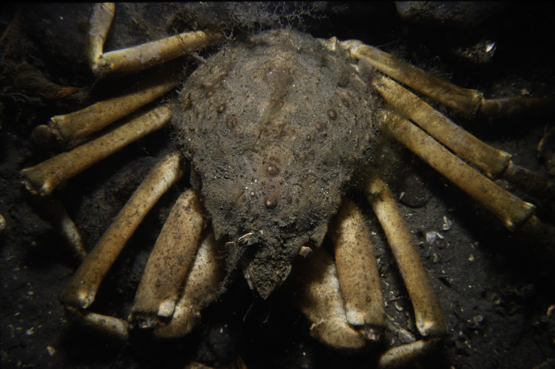 |
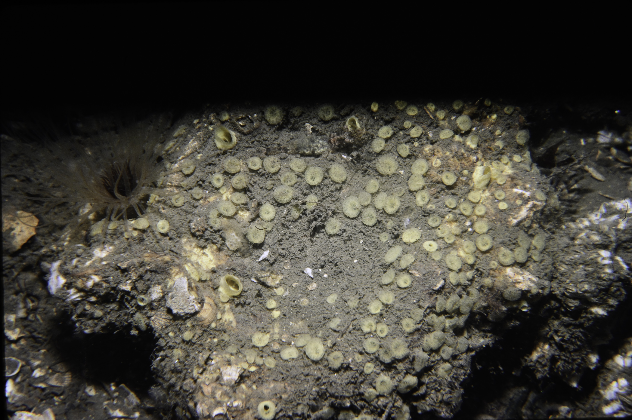 |
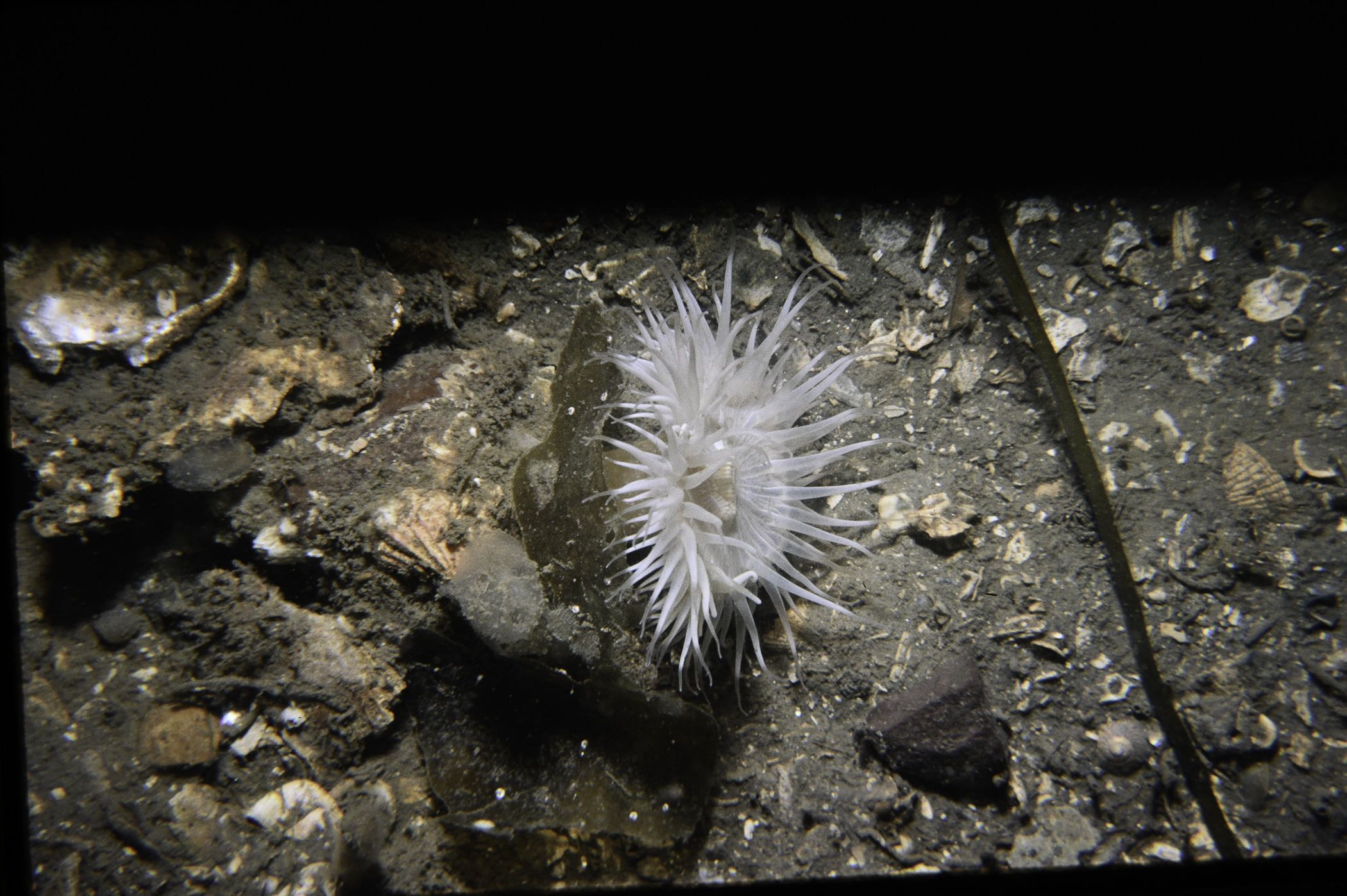 |
 |
 |
 |
[ More images ] (15/19)
Species list (56 species recorded):
PORIFERA
Polymastia penicillus
Cliona celata
Mycale subclavata
Halichondria bowerbanki
Halichondria panicea
Suberites carnosus
Suberites ficus
CNIDARIA
Halecium halecinum
Sertularia argentea
Nemertesia antennina
Nemertesia ramosa
Plumularia setacea
Alcyonium digitatum
Synarachnactis lloydii
Cylista elegans
Sagartia lacerata
ANNELIDA
Amphitrite sp.
Pomatoceros triqueter
CRUSTACEA
Balanus crenatus
Pandalus montagui
Crangon crangon
Pisidia longicornis
Hyas araneus
Hyas coarctatus
Inachus dorsettensis
Macropodia rostrata
Polybius depurator
Carcinus maenas
MOLLUSCA
Tonicella marmorea
Calliostoma zizyphinum
Buccinum undatum
Eubranchus tricolor
Modiolus modiolus
Pecten maximus
Aequipecten opercularis
Hiatella arctica
BRYOZOA
Alcyonidium diaphanum
Scrupocellaria sp.
ECHINODERMATA
Crossaster papposus
Henricia oculata
Asterias rubens
Leptasterias muelleri
Psammechinus miliaris
Echinus esculentus
TUNICATA
Clavelina lepadiformis
Morchellium argus
Didemnum sp.
Corella parallelogramma
Ascidiella aspersa
Ascidiella scabra
Dendrodoa grossularia
PISCES
Scyliorhinus canicula
Pholis gunnellus
Pomatoschistus pictus
RHODOPHYTA
Phyllophora crispa
Gracilaria gracilis
No biotope record.
PORIFERA
Polymastia penicillus P
Cliona celata P
Mycale subclavata P
Halichondria bowerbanki P
Halichondria panicea P
Suberites carnosus P
Suberites ficus P
CNIDARIA
Halecium halecinum P
Sertularia argentea P
Nemertesia antennina P
Nemertesia ramosa P
Plumularia setacea P
Alcyonium digitatum P
Synarachnactis lloydii P
Cylista elegans P
Sagartia lacerata P
ANNELIDA
Amphitrite sp. P
Pomatoceros triqueter P
CRUSTACEA
Balanus crenatus P
Pandalus montagui P
Crangon crangon P
Pisidia longicornis P
Hyas araneus P
Hyas coarctatus P
Inachus dorsettensis P
Macropodia rostrata P
Polybius depurator P
Carcinus maenas P
MOLLUSCA
Tonicella marmorea P
Calliostoma zizyphinum P
Buccinum undatum P
Eubranchus tricolor P
Modiolus modiolus P
Pecten maximus P
Aequipecten opercularis P
Hiatella arctica P
BRYOZOA
Alcyonidium diaphanum P
Scrupocellaria sp. P
ECHINODERMATA
Crossaster papposus P
Henricia oculata P
Asterias rubens P
Leptasterias muelleri P
Psammechinus miliaris P
Echinus esculentus P
TUNICATA
Clavelina lepadiformis P
Morchellium argus P
Didemnum sp. P
Corella parallelogramma P
Ascidiella aspersa P
Ascidiella scabra P
Dendrodoa grossularia P
PISCES
Scyliorhinus canicula P
Pholis gunnellus P
Pomatoschistus pictus P
RHODOPHYTA
Phyllophora crispa P
Gracilaria gracilis P
| Previous site | Next site |