Earth Science Conservation Review
| Belmore, Ballintempo & Tullybrack Uplands; Belmore | Fermanagh |
| Site Type: | Karst |
| Site Status: | local interest |
| Council area: | Fermanagh District Council |
| Grid Reference: | H1141 |
| Google maps: | 54.3181,-7.83095 |
| Rocks | |
|---|---|
| Rock Age: | Quaternary, Carboniferous (Asbian, Holocene, Visean) |
| Rock Name: | Carrickmacsparrow Limestone Member, Dartry Limestone Formation, Glenade Sandstone Formation, Glencar Limestone Formation, Knockmore Limestone Member, Meenymore Formation |
| Rock Type: | Chert, Dolerite, Limestone, Mudstone |
| Interest | |
| Minerals: | Dolomite |
| Other interest: | dyke, fault, cave, doline, drift, dry valley, pothole, sinkhole |
Summary of site:
Belmore Mountain is the flat-topped hill immediately to the north of Lough Macnean Lower and is a prominent feature viewed from the northern slopes of Cuilcagh Mountain. The rounded summit, just breaching the 400m contour, is almost entirely capped by the Glenade Sandstone Formation (dating to around 335 million years ago, towards the close of the Asbian stage of the Carboniferous period). The main drainage tends to be north and westward down the long, gentle, forested slopes, but a series of around ten short streams drain the steeper southern slopes and it is the sinking of these streams and the line of resurgences (springs) on the ground immediately below, marginal to the east end of Lough Macnean Lower, that provide the principal karst interest.
As the streams flow off the sandstone cap, they cross on to the topmost beds of the fairly pure Dartry Limestone, much of which is composed of the fine lime mud of the Knockmore Limestone Member. Their purity makes them susceptible to chemical attack by the acidic stream waters and, as usual in karst areas, the flow drains into underground courses within a few tens or hundreds of metres of the geological boundary. Surface drainage of streams was probably far more extensive in the period at the end of the last glaciation, around 10,000 years ago, when the ground was frozen solid. The valley at Moneyouragan, now without a stream, probably dates from this time and suggests a strong flow of meltwater from the ice sheets contracting in the improving climate.
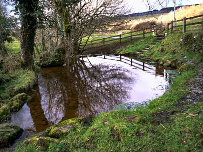
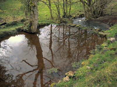
Immediately to the south of these sinks, and separated from them by anything between 0.5 and 2km is a line of about twenty resurgences. Most drain south, eventually merging into a small river flowing south west into the north-east corner of Lough Macnean Lower; the rest drain into the low ground north of the lough shore. The village of Holywell, 1km north west of Belcoo, is named from the strong resurgence through a sand and boulder bed that also drains south, but in this case into the north-east corner of Lough Macnean Upper.
It seems obvious that the water draining into the sinks is the same water that emerges at the resurgences and the usual way of testing this is by dye tracing. The method is simple and involves the use of harmless dying agents that colour the water. Dye is released into the water at one sink and observation identifies the related resurgence or resurgences, since more than one can be involved. Tested sequentially a picture of the underground water flow linking sinks with resurgences is built up. It is frequently more complex than simple observation suggests. In the Belmore area this research has yet to be undertaken.
Despite the karst activity, no substantial caves or potholes have been found in the area. Only Moneyouragan Pot (about 6m deep), opening from the dry valley, and Mullyard Sink Cave, north of Belcoo (about 125m of narrow, tortuous and muddy passages), are worthy of individual note.
With the exception of the Holywell resurgence, there are no major sites in the area deserving special listing, but dye testing of the streams would provide valuable hydrological (water flow) information.
| Enlander, I., Dempster, M. & Doughty, P., 2025. Belmore, Ballintempo & Tullybrack Uplands; Belmore, County Fermanagh, site summary. [In] Earth Science Conservation Review. https://www.habitas.org.uk/escr/summary.php?item=1158. Accessed on 2025-04-03 |
| Previous Site | Next Site |

