Introduction
Why conserve earth science localities?
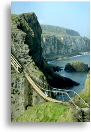
Conservation of geological sites implies that they are perceived to have value to society.
Such values include their importance to:
History: a number of sites have played a significant part in the development of geological theories. Collectively, they tell the story of the geological development of our part of planet Earth.
Education: visits to geological sites are an important element in the curriculum of schools and universities, complementing classroom work and lectures.
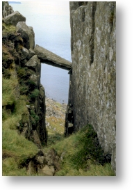
Research: the development of geology as a science is partly dependent upon access to sites in the long term to allow old theories to be retested and the development of new ones.
Resources: the earth is the source of many materials such as oil, coal, ores building stone and aggregates upon which all societies depend. Our ability to understand and exploit these resources requires well trained geologists and engineers.
Landscape: many important scenic areas derive their character from the nature of the underlying geology together with more recent processes which have shaped our countryside. Many of Northern Ireland’s most important tourist destinations are a wonderful combination of geology, geomorphology, habitat and human history.
Recreation: many people, including geologists, climbers and walkers, derive pleasure from the continued existence of many geological sites. Again the character of our most important recreational sites is determined by their geology.
The threats to geological sites
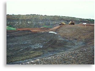
Conservation implies that such sites are to be protected from potential threats, such as:
Landfill: the increasing need for the disposal of industrial and domestic waste has led to the loss of many quarries. In Northern Ireland, much of our solid geology is hidden making quarries an important geological resource. Understanding and documenting the significance of some of these helps inform decision makers about which should be conserved.
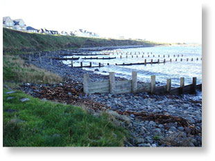
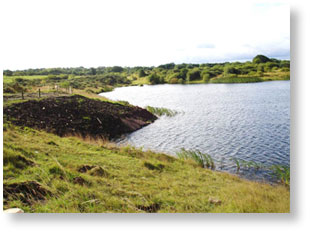
Changes to natural systems: active geomorphological sites are dependent upon the continued action of the formative process e.g. rivers in limestone cave systems, wind action in dunes, wave and tidal action on beaches. Human induced changes to these processes can result in dramatic and unforeseen changes to these sites. Categories of sites which have both Earth science and habitat/species features of importance, and hence an inter-relationship between these categories, can be particularly important.
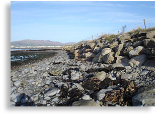
Coastal defence work: this can lead to the covering (and loss) of geological sections and can alter the natural coastal regime with consequent impact on other areas of coastline.
It would be impractical and undesirable to protect all geological localities, but we must ensure that the best of our Earth heritage sites are identified and conserved for the future advantage of us all. This is the primary function of the ESCR.
What is the Earth Science Conservation Review and why undertake it?
The Earth Science Conservation Review (ESCR) is the process whereby geological sites in Northern Ireland are assessed to determine their importance to science and hence to Earth science conservation.
The Review has been undertaken for a number of reasons including:
Statutory obligation:
The Environment (Northern Ireland) Order 2002 states that:
- Where the Department ……. is satisfied that an area of land is of special interest by reason of any of its flora, fauna, or geological, physiographical or other features, and that accordingly it needs to be specially protected, the Department shall make a declaration that the area is an area of special scientific interest.
- Recognition of the scientific and other importance of geological and geomorphological sites.
- Recognition that there are real threats to these sites, in the form of developments which can obliterate features of importance, interfere with the natural processes required for continued existence of the sites or detract from the integrity of landscape.
The ESCR provides The Department (Department of Agriculture, Environment and Rural Affairs) with the information necessary to meet its obligations.
How is it being undertaken?
The objective of the ESCR is to define systematically all earth science localities, both geological and geomorphological, in Northern Ireland which achieve at least national significance.
The process which is used to select sites is as follows:
- The definition of subject blocks within which sites have been assessed:
THEME SELECTED DESIGNATED Stratigraphy 24 blocks 97 51 Igneous petrology 5 blocks 84 51 Palaeontology 8 blocks 14 114 Structural/metamorphic 5 blocks 58 19 Mineralogy 1 block 21 14 Pleistocene 4 blocks 53 16 Recent 5 blocks 66 45
- Possible sites are identified by the review of relevant literature and other
data, together with consultations.
» Site selection - minimum criteria are used to finalise site selection:
» sites must contain features that are at least nationally important;
» individual sites should not duplicate each other;
» it must be practical to conserve the site;
» preference will be given to sites with assemblages of features or interests. - The documentation and mapping of sites to a fixed format and the production of standard reports permits site comparisons.
- Site reviews and the subsequent designation of appropriate sites as Areas of Special Scientific Interest will ultimately produce a network of sites essential to the demonstration of the geology and geomorphology of Northern Ireland
- The monitoring and management of designated sites will ensure the maintenance of scientific interest.
- The future review and update of the designated site network will be essential because geology is a dynamic science. New sites may be recognised or the importance of known sites may change.
Earth Science Conservation Review progress
Of the 52 subject blocks defined, work has been completed on them all. To date, 148 sites with a geological interest have been designated as ASSIs, a number with more than one geological feature. 394 ASSIs have been declared in total.
Types of site that have been selected through the ESCR process
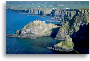
The majority of selected sites consist of rock outcrops. These give people an opportunity to see the various rock types that are, for the most part, hidden from view. Taken together, these sites describe the solid rock foundation of Northern Ireland. This type of site is generally easily managed. Quarries are very important offering as they do, a glimpse at rocks that would otherwise be buried.
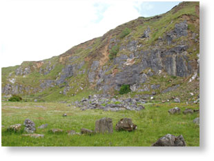
Many coastal sites are very fragile, subject to impact from nature, through increasing storm frequency and possible future rises in sea-level, and human interference, particularly from removal of sand and stone from beaches, from recreational impacts and from engineering developments.
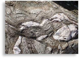

Fossils are a fun way to get to know more about geology. Sites however can be fragile and must be managed carefully. Fortunately there are many sites rich in fossils, where repeated collecting poses no threat.
Once there were large deposits of diatomite along the north shore of Lough Neagh and around Lough Beg. Past cutting for use in the munitions industry especially, has greatly reduced its extent.
Diatomite and associated materials are of importance for the information on past climate, together with archaeological artifacts that can be obtained from them.
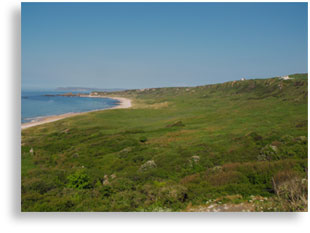
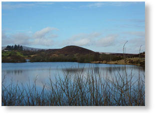
Many of the landforms that can be seen in Northern Ireland were formed by processes that operated in the past. This is particularly true of those related to past glacial activity.
Features such as eskers and glacial moraines are fossil landforms. They also are a valuable source of sand and gravel, used by the construction industry. It is important to strike a balance between the conservation of such sites whilst recognising the importance of this industry.
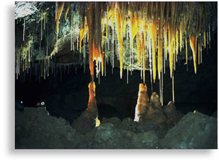
Northern Ireland has many important cave systems, hosting dramatic stalagmites, stalagtites and other examples of flowstone. Such places are not only wonderful to look at, they also represent a unique record of past climate and environment for these areas. These records are contained within the calcite (from which the flowstones are comprised) and sediment deposits.