Marine Biodiversity Data Portal - NI
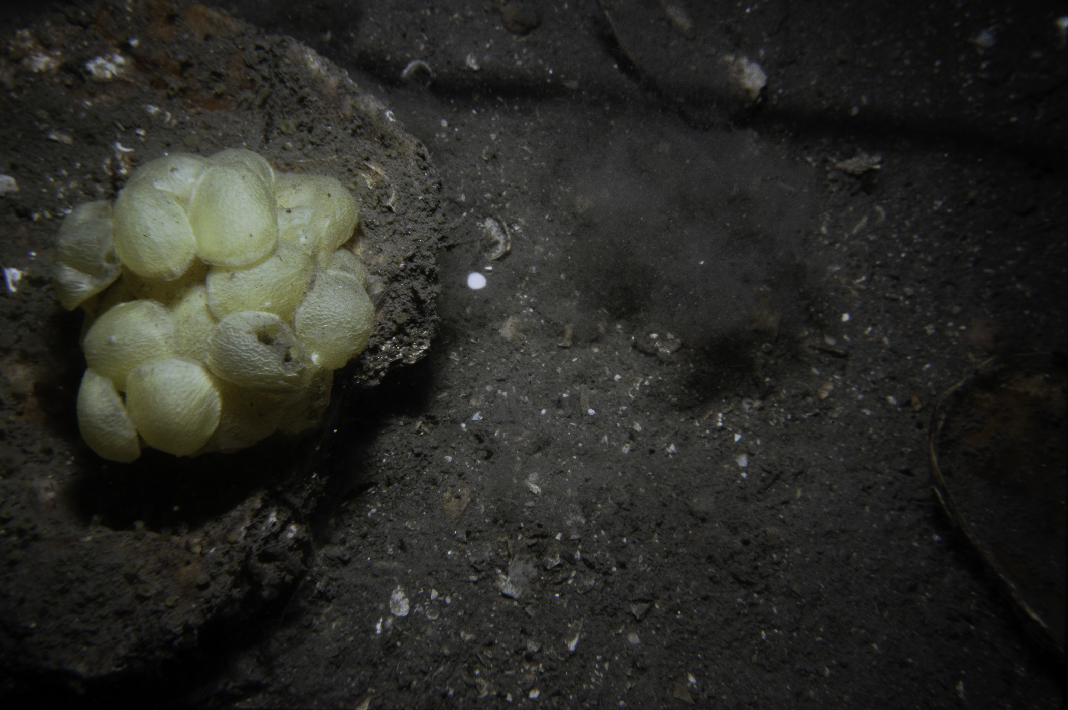
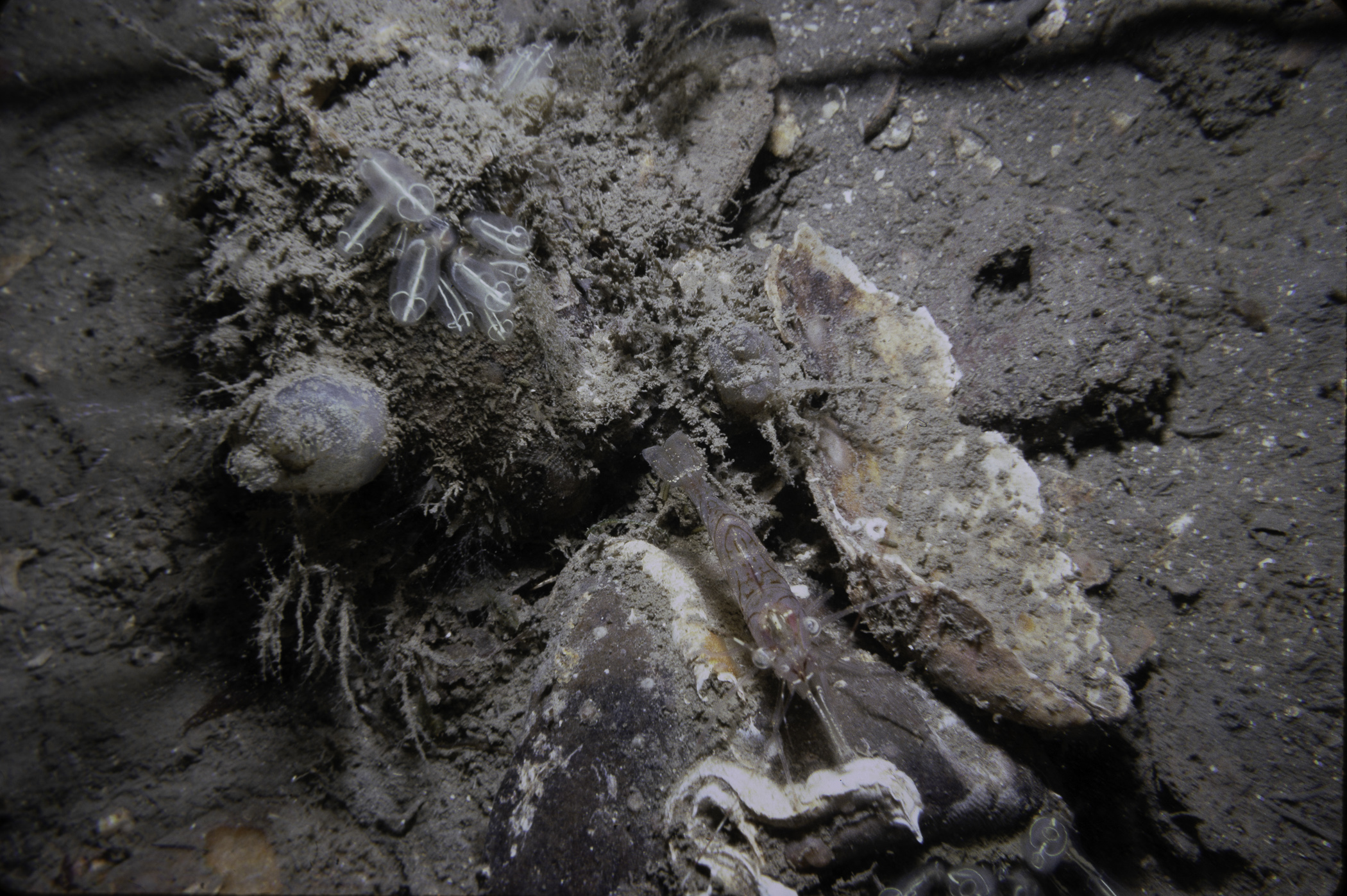
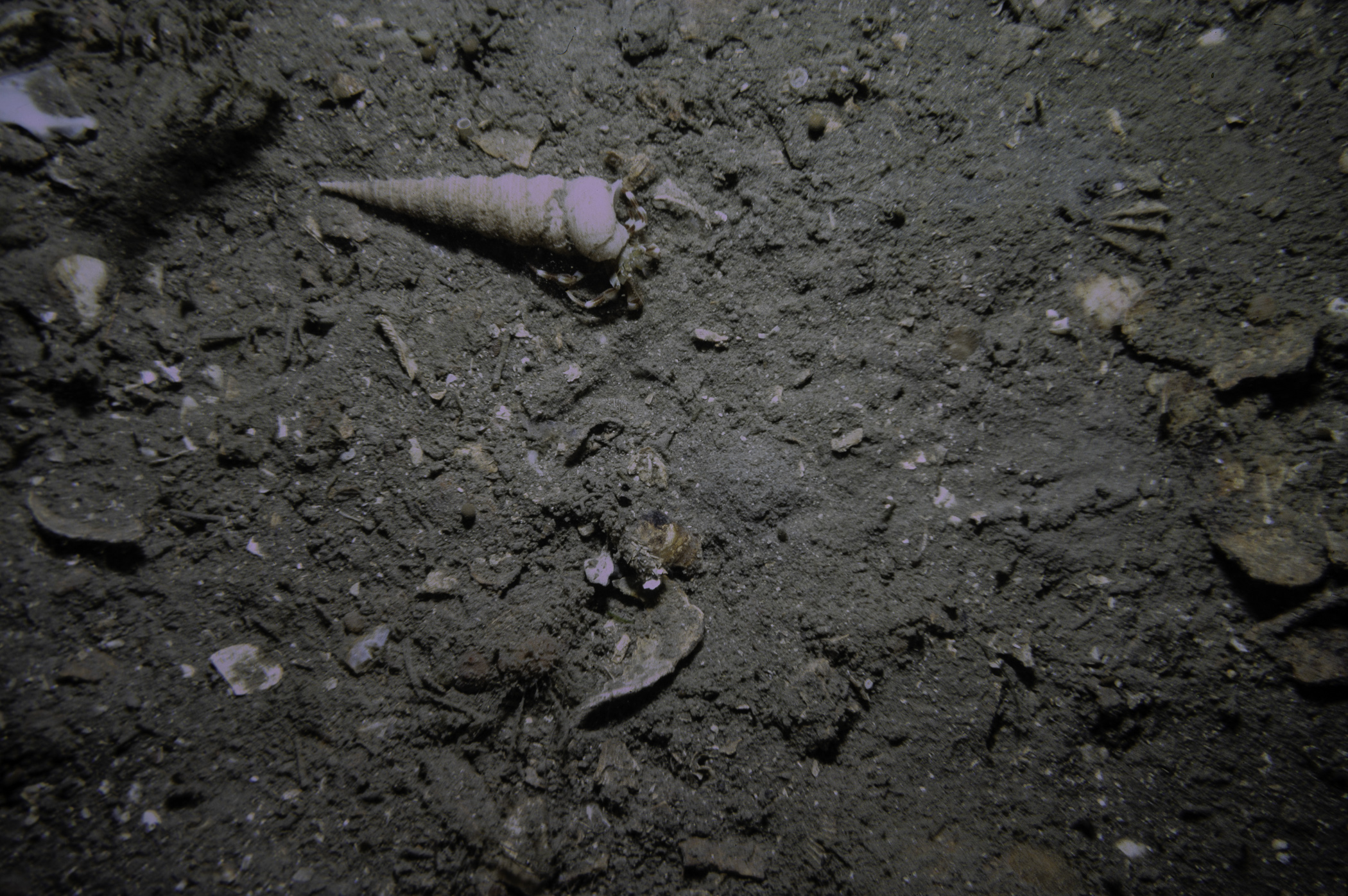
NW Limestone Rock, Strangford Lough.
Survey number: 550 Event number: 19820520/03 Date: 1982-05-20 GPS: 54.42117,-5.61167. Depth: -28.0 to -29.0 m. [ View map ]
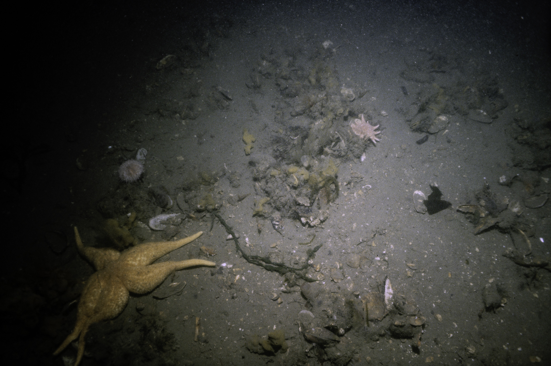
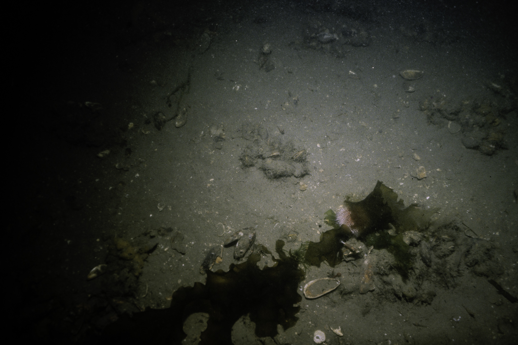
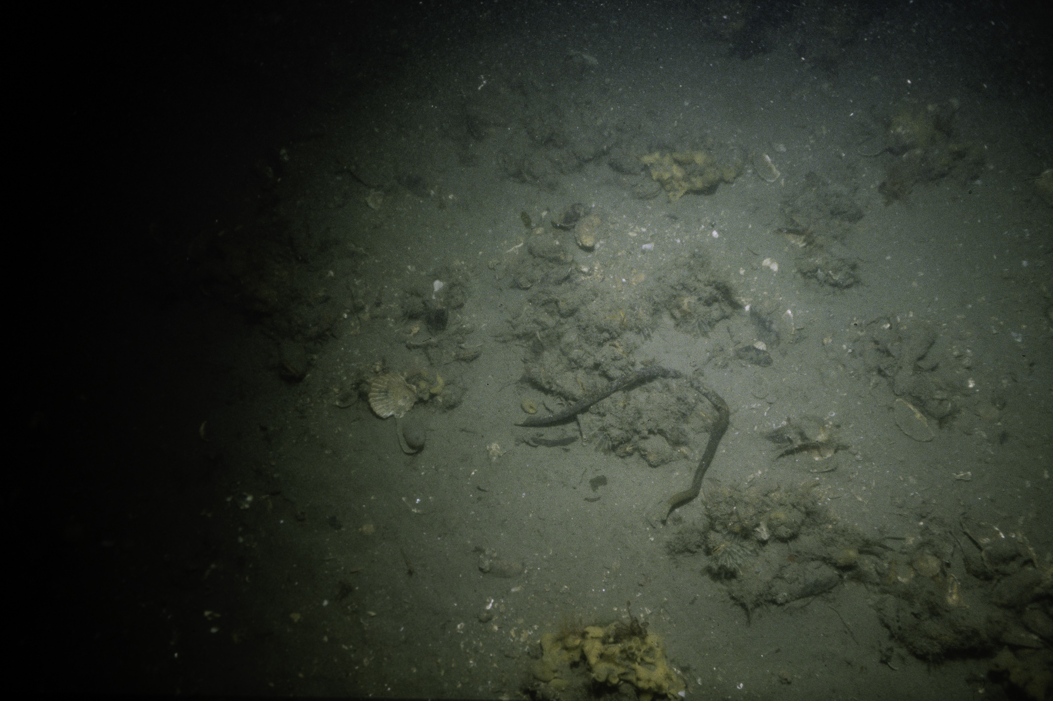
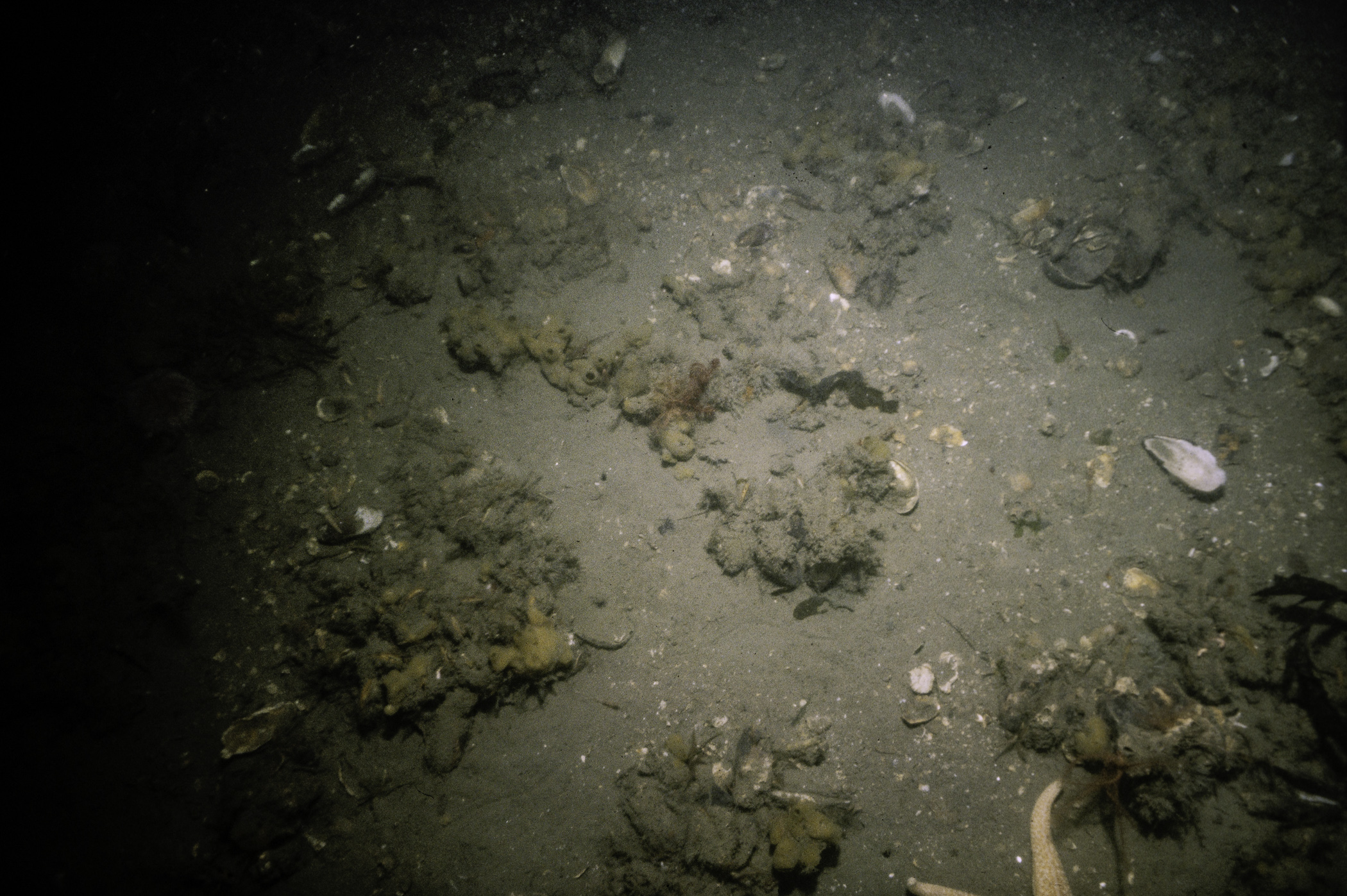
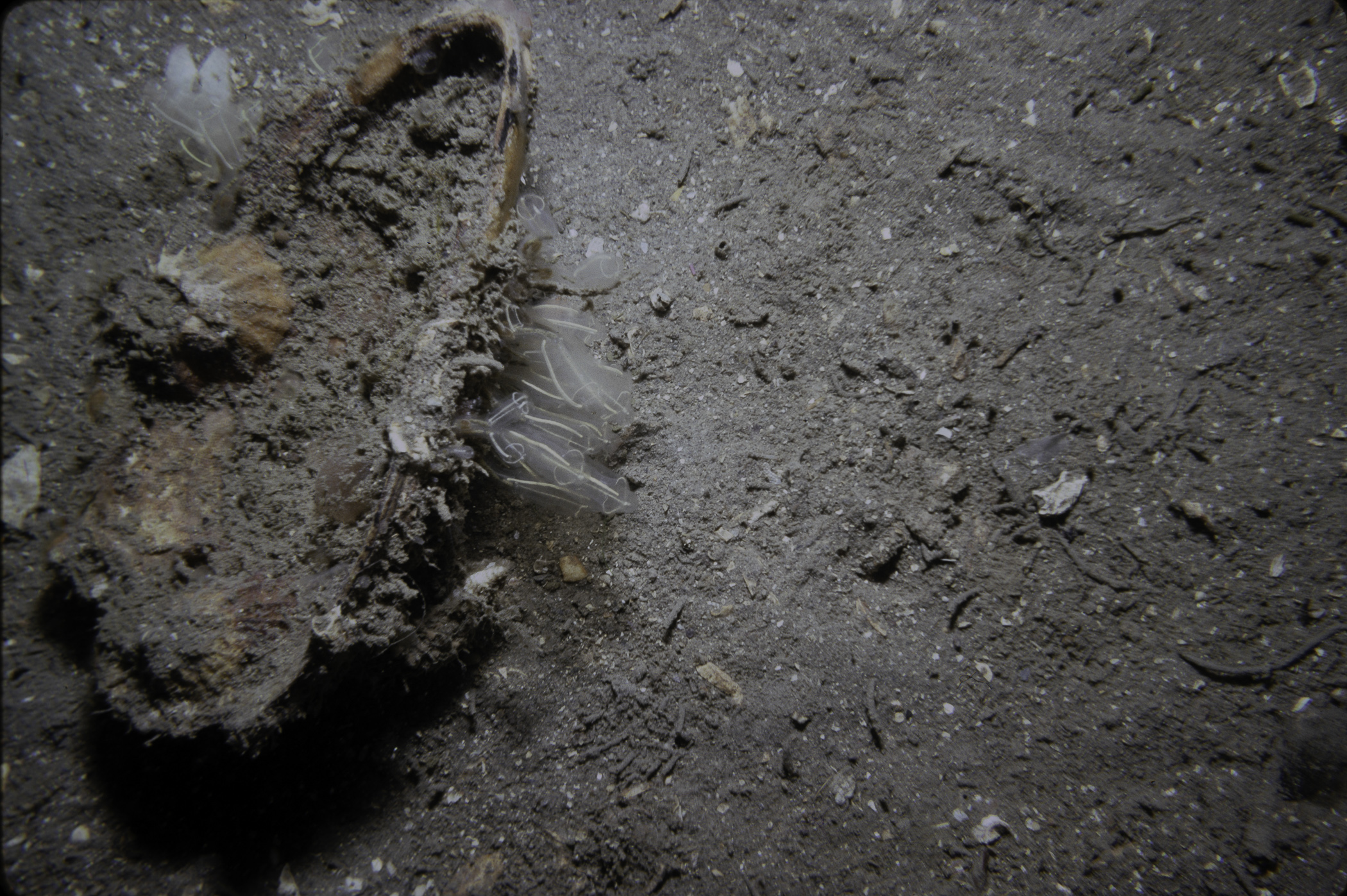
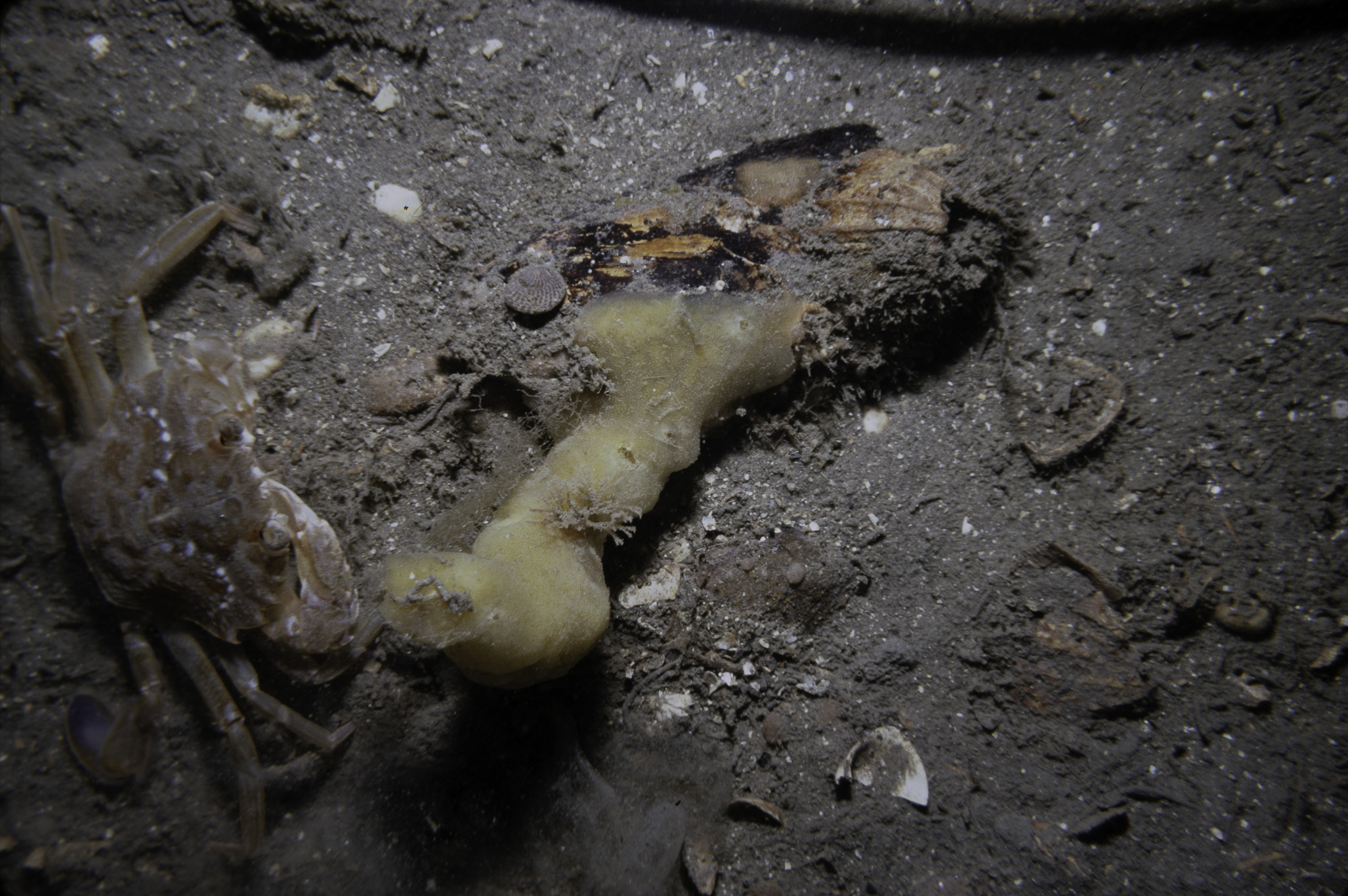
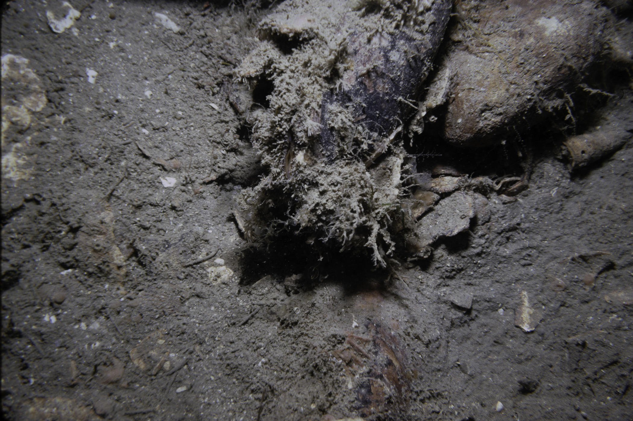
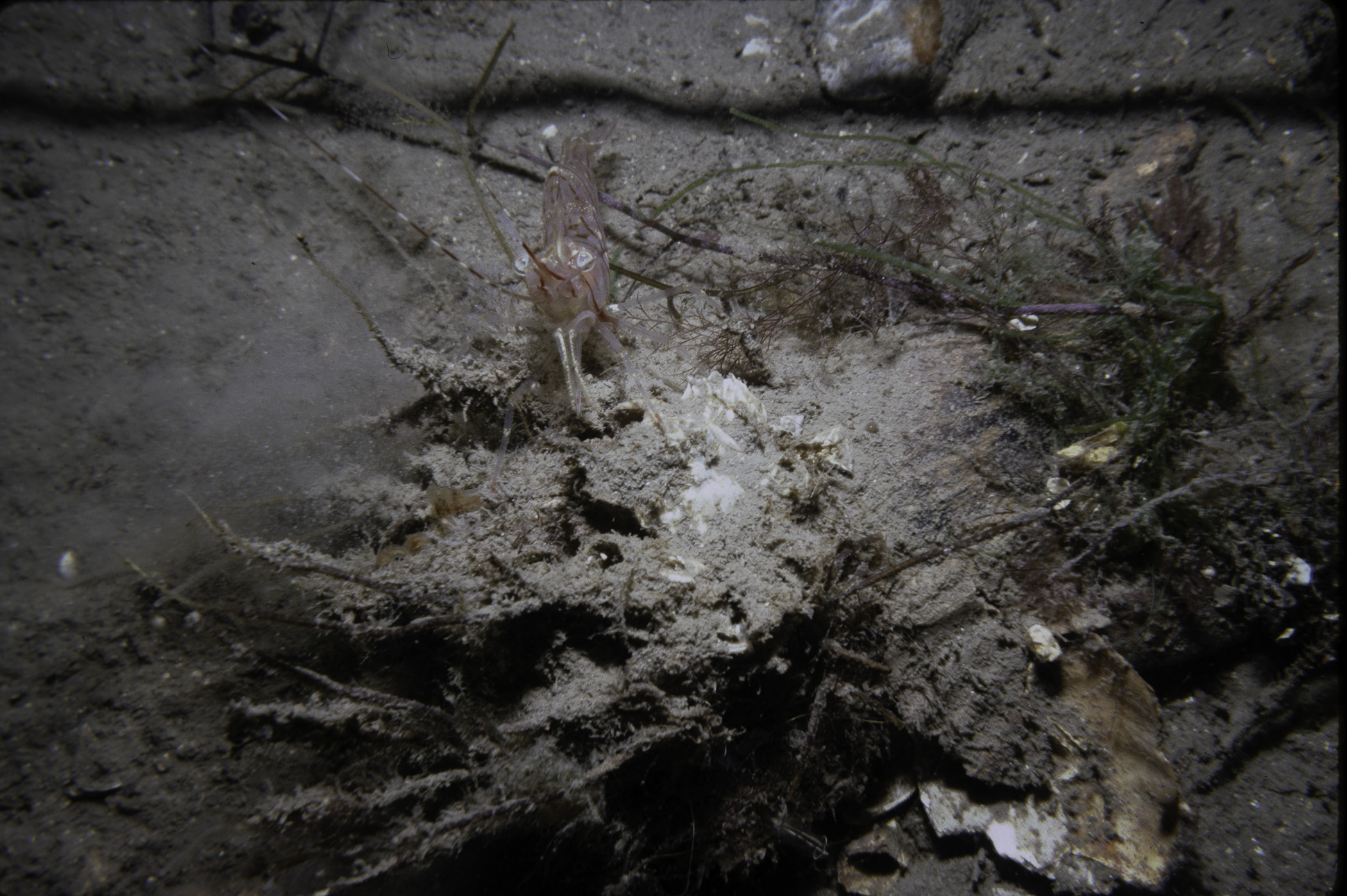
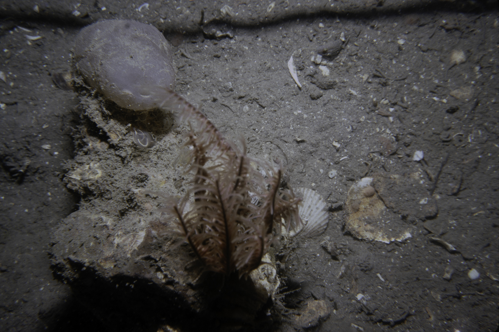
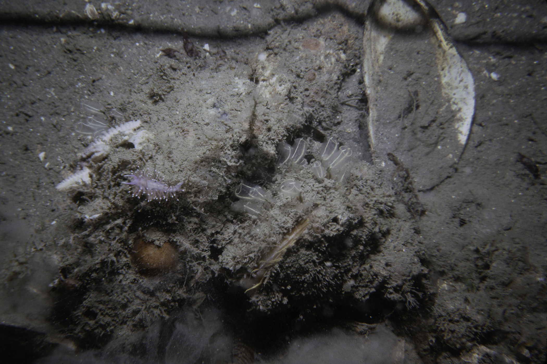
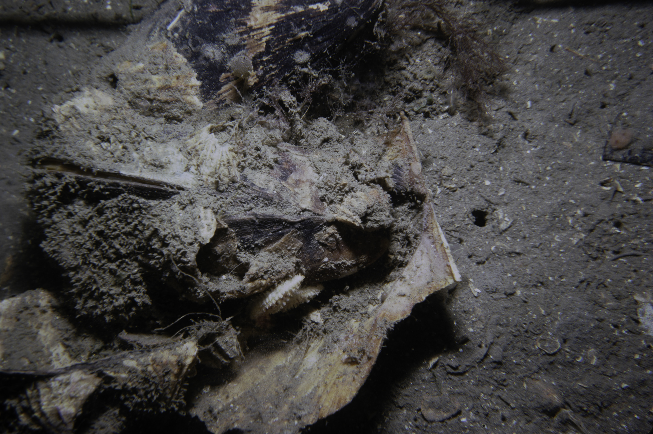
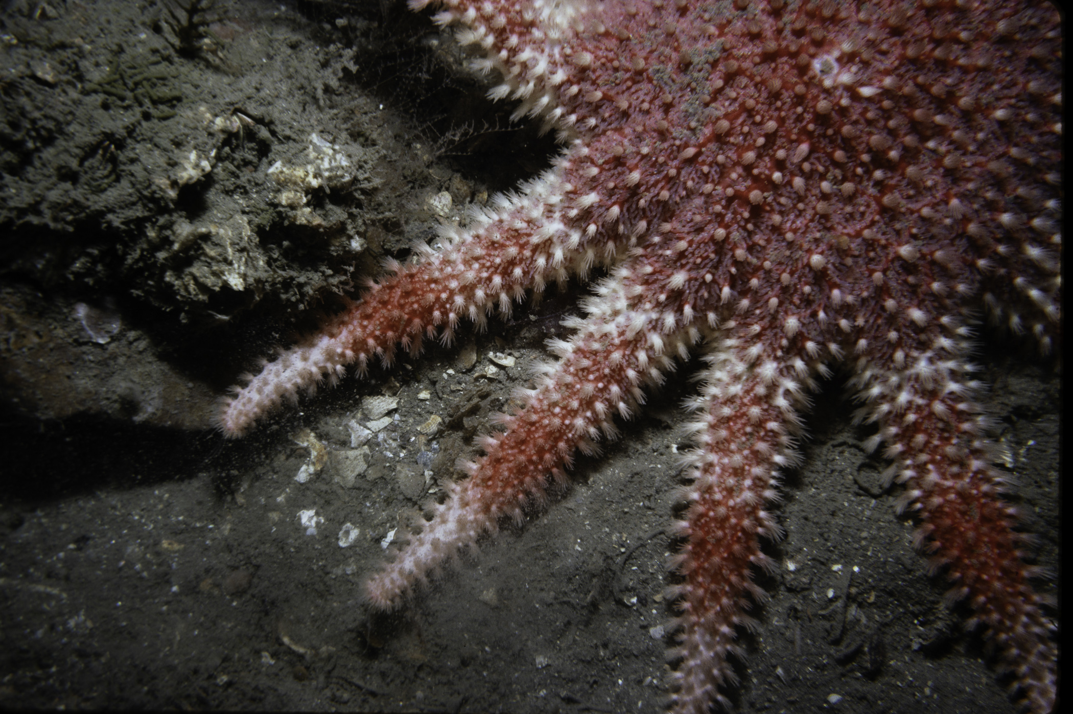
Site Description: Horizontal mud plain generally smooth with much scattered shell debris and occasional cobble. Both supporting life. Small clumps of Modiolus.
 |
 |
 |
 |
 |
 |
 |
 |
 |
 |
 |
 |
 |
 |
 |
[ More images ] (15/20)
Species list (34 species recorded):
PORIFERA
Cliona celata
Halichondria bowerbanki
Suberites carnosus
Suberites ficus
CNIDARIA
Eudendrium sp.
Halecium halecinum
Sertularia argentea
Halopteris catharina
Nemertesia antennina
Plumularia setacea
ENTOPROCTA
Pedicellina sp.
ANNELIDA
Lepidonotus squamatus
Pomatoceros triqueter
CRUSTACEA
Pagurus bernhardus
Polybius navigator
Polybius depurator
MOLLUSCA
Steromphala cineraria
Calliostoma zizyphinum
Buccinum undatum
Edmundsella pedata
Modiolus modiolus
BRYOZOA
Crisia sp.
Cellepora pumicosa
ECHINODERMATA
Antedon bifida
Crossaster papposus
Asterias rubens
Leptasterias muelleri
Ophiothrix fragilis
Echinus esculentus
Pawsonia saxicola
TUNICATA
Clavelina lepadiformis
Ascidiella aspersa
Ascidia mentula
Dendrodoa grossularia
No biotope record.
PORIFERA
Cliona celata P
Halichondria bowerbanki P
Suberites carnosus P
Suberites ficus P
CNIDARIA
Eudendrium sp. P
Halecium halecinum P
Sertularia argentea P
Halopteris catharina P
Nemertesia antennina P
Plumularia setacea P
ENTOPROCTA
Pedicellina sp. P
ANNELIDA
Lepidonotus squamatus P
Pomatoceros triqueter P
CRUSTACEA
Pagurus bernhardus P
Polybius navigator P
Polybius depurator P
MOLLUSCA
Steromphala cineraria P
Calliostoma zizyphinum P
Buccinum undatum P
Edmundsella pedata P
Modiolus modiolus P
BRYOZOA
Crisia sp. P
Cellepora pumicosa P
ECHINODERMATA
Antedon bifida P
Crossaster papposus P
Asterias rubens P
Leptasterias muelleri P
Ophiothrix fragilis P
Echinus esculentus P
Pawsonia saxicola P
TUNICATA
Clavelina lepadiformis P
Ascidiella aspersa P
Ascidia mentula P
Dendrodoa grossularia P
| Previous site | Next site |