Marine Biodiversity Data Portal - NI
Marlfield Bay, Strangford Lough.
Survey number: 550 Event number: 19820513/02 Date: 1982-05-13 GPS: 54.40583,-5.58583. Depth: -24.0 to -25.0 m. [ View map ]
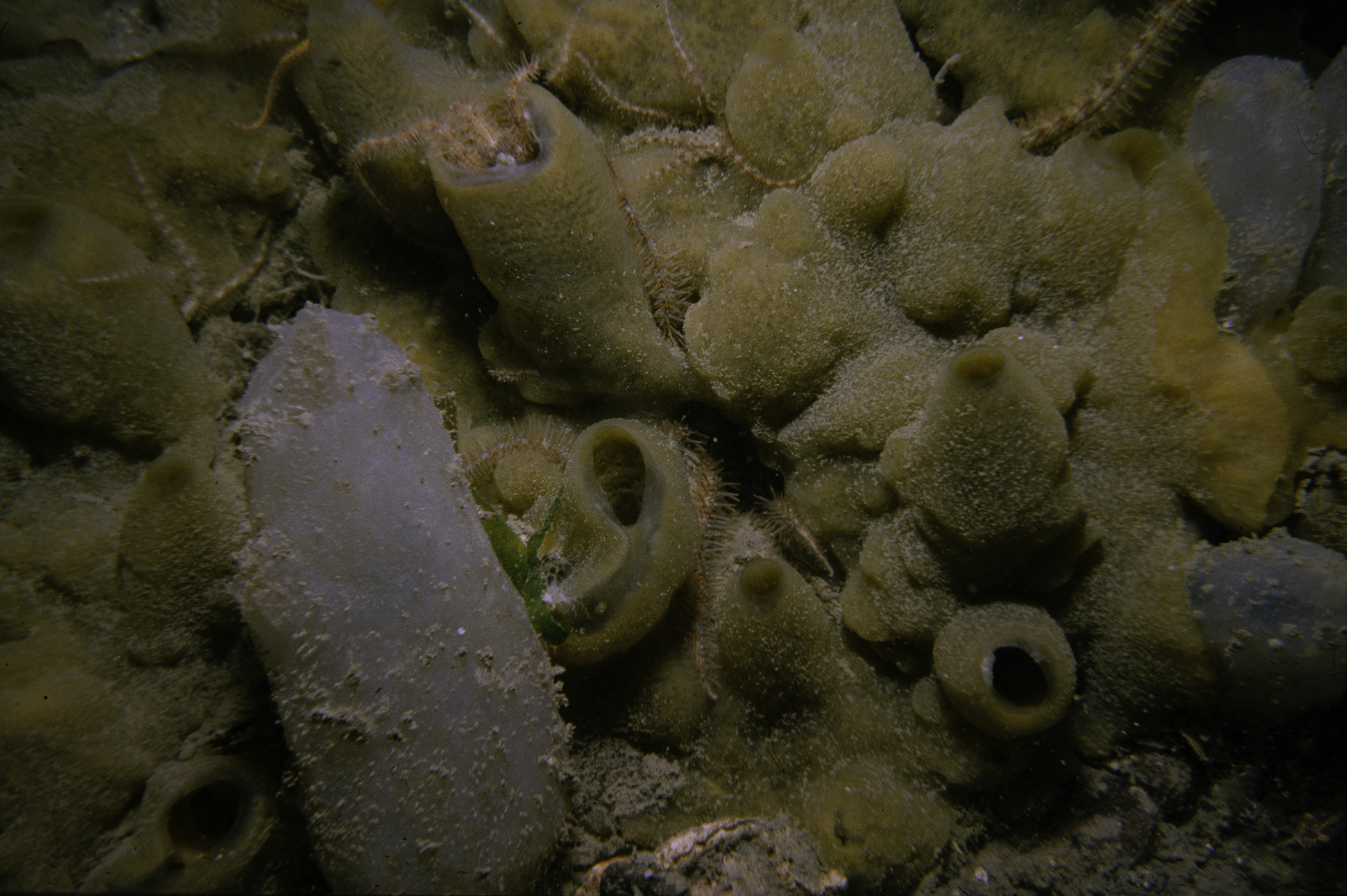
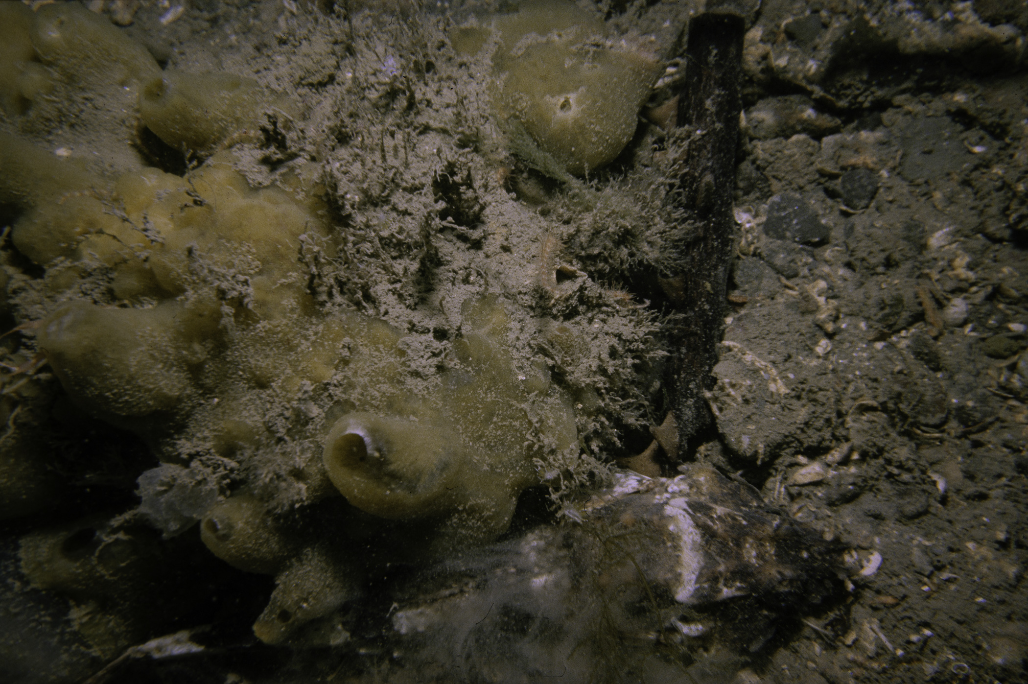
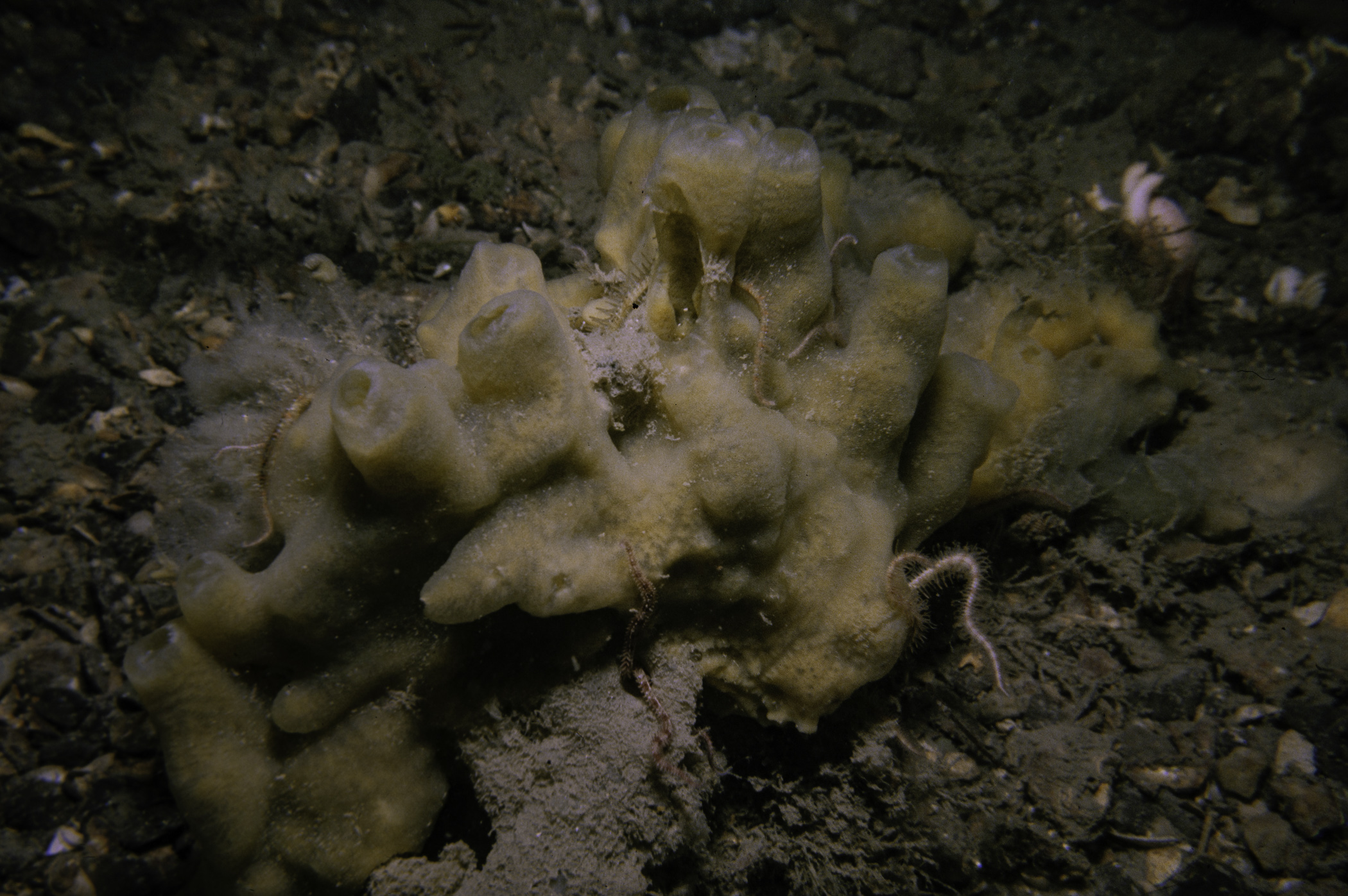
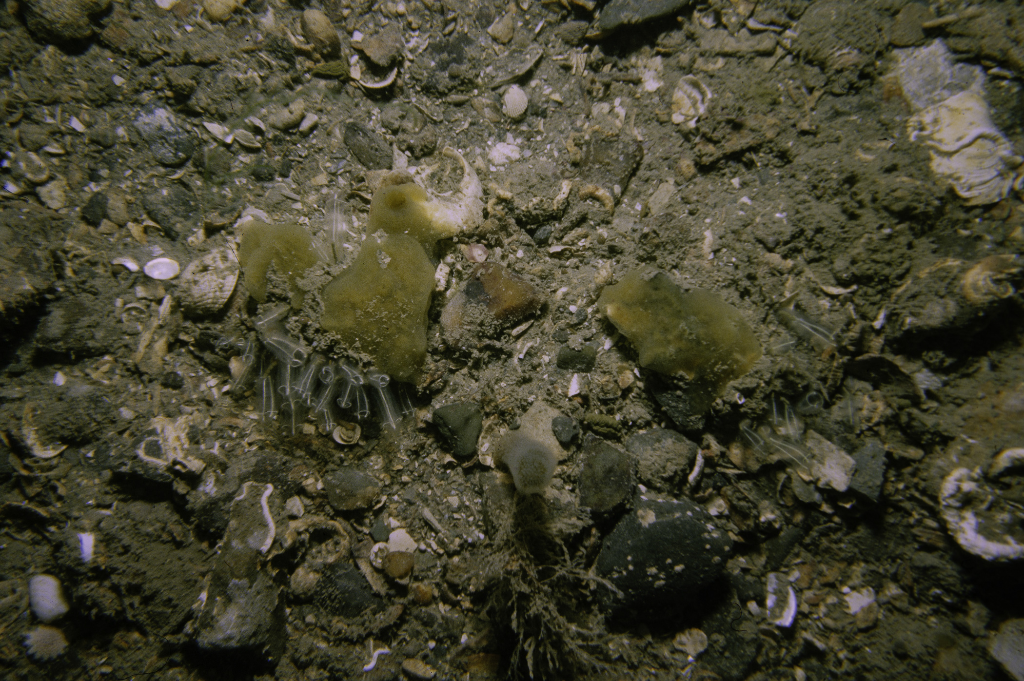
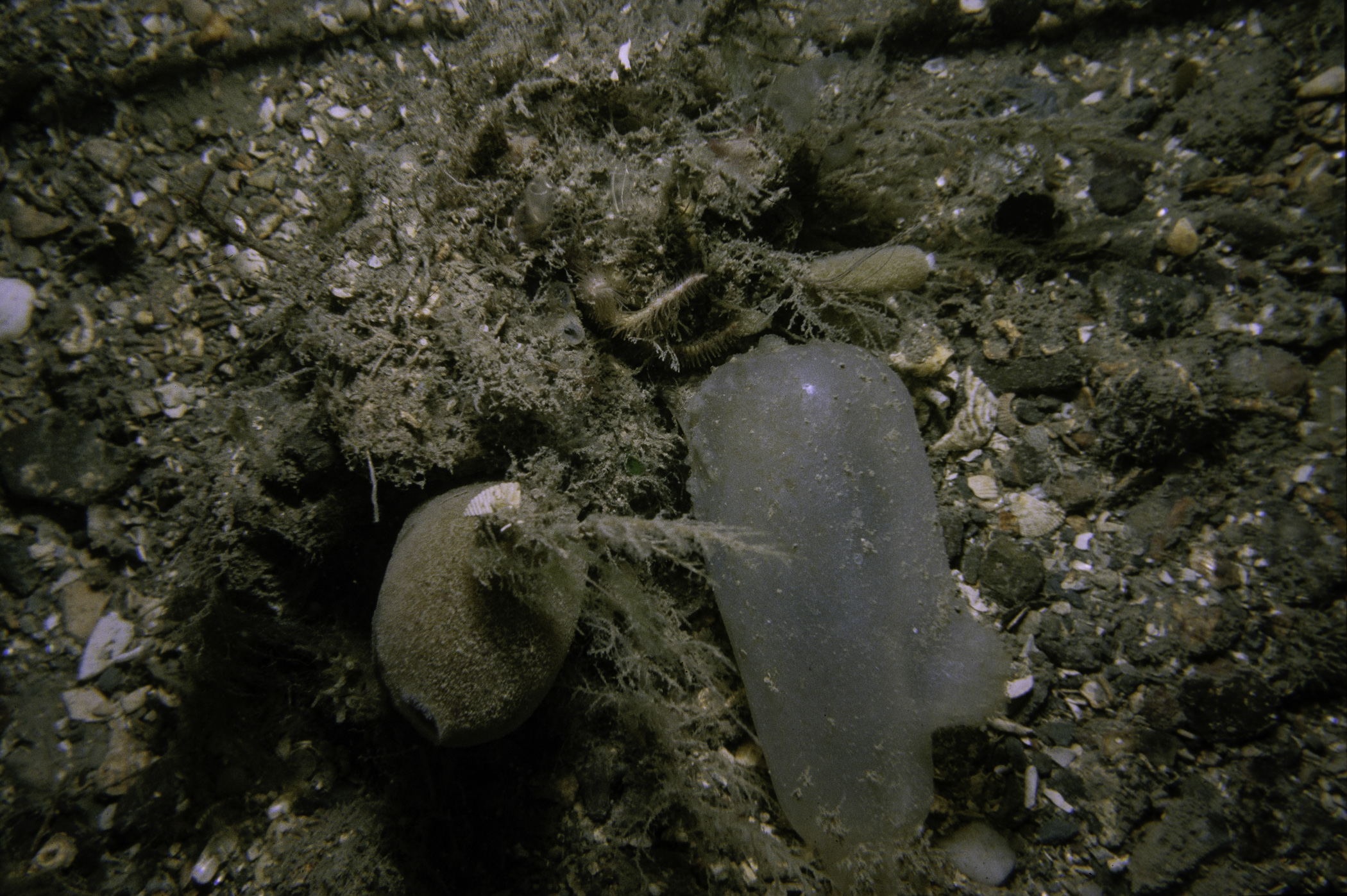
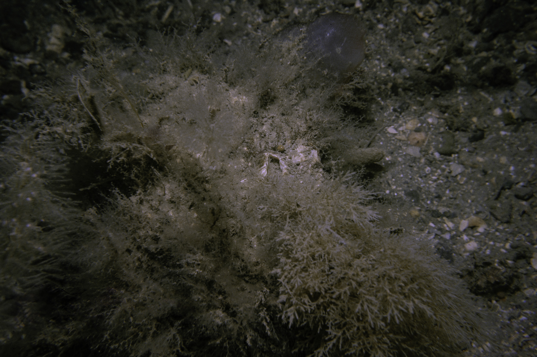
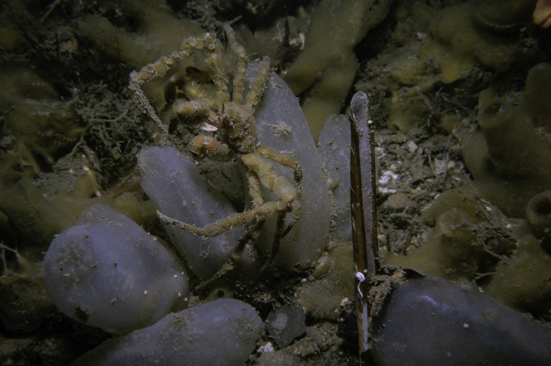
Site Description: Sandy gravel with Ophiothrix abundant. A few dead shells.
Species list (27 species recorded):
PORIFERA
Sycon ciliatum
Iophon hyndmani
Halichondria bowerbanki
Suberites carnosus
CNIDARIA
Halecium halecinum
Nemertesia antennina
CRUSTACEA
Pagurus bernhardus
Inachus leptochirus
Cancer pagurus
Polybius depurator
MOLLUSCA
Calliostoma zizyphinum
Phaxas pellucidus
BRYOZOA
Crisia sp.
Alcyonidium diaphanum
Eucratea loricata
Cellaria sp.
ECHINODERMATA
Antedon bifida
Crossaster papposus
Henricia oculata
Asterias rubens
Ophiothrix fragilis
Ophiopholis aculeata
Echinus esculentus
TUNICATA
Clavelina lepadiformis
Ascidiella aspersa
Ascidia mentula
PISCES
Myoxocephalus scorpius
No biotope record.
PORIFERA
Sycon ciliatum P
Iophon hyndmani P
Halichondria bowerbanki P
Suberites carnosus P
CNIDARIA
Halecium halecinum P
Nemertesia antennina P
CRUSTACEA
Pagurus bernhardus P
Inachus leptochirus P
Cancer pagurus P
Polybius depurator P
MOLLUSCA
Calliostoma zizyphinum P
Phaxas pellucidus P
BRYOZOA
Crisia sp. P
Alcyonidium diaphanum P
Eucratea loricata P
Cellaria sp. P
ECHINODERMATA
Antedon bifida P
Crossaster papposus P
Henricia oculata P
Asterias rubens P
Ophiothrix fragilis P
Ophiopholis aculeata P
Echinus esculentus P
TUNICATA
Clavelina lepadiformis P
Ascidiella aspersa P
Ascidia mentula P
PISCES
Myoxocephalus scorpius P
| Previous site | Next site |
