Marine Biodiversity Data Portal - NI
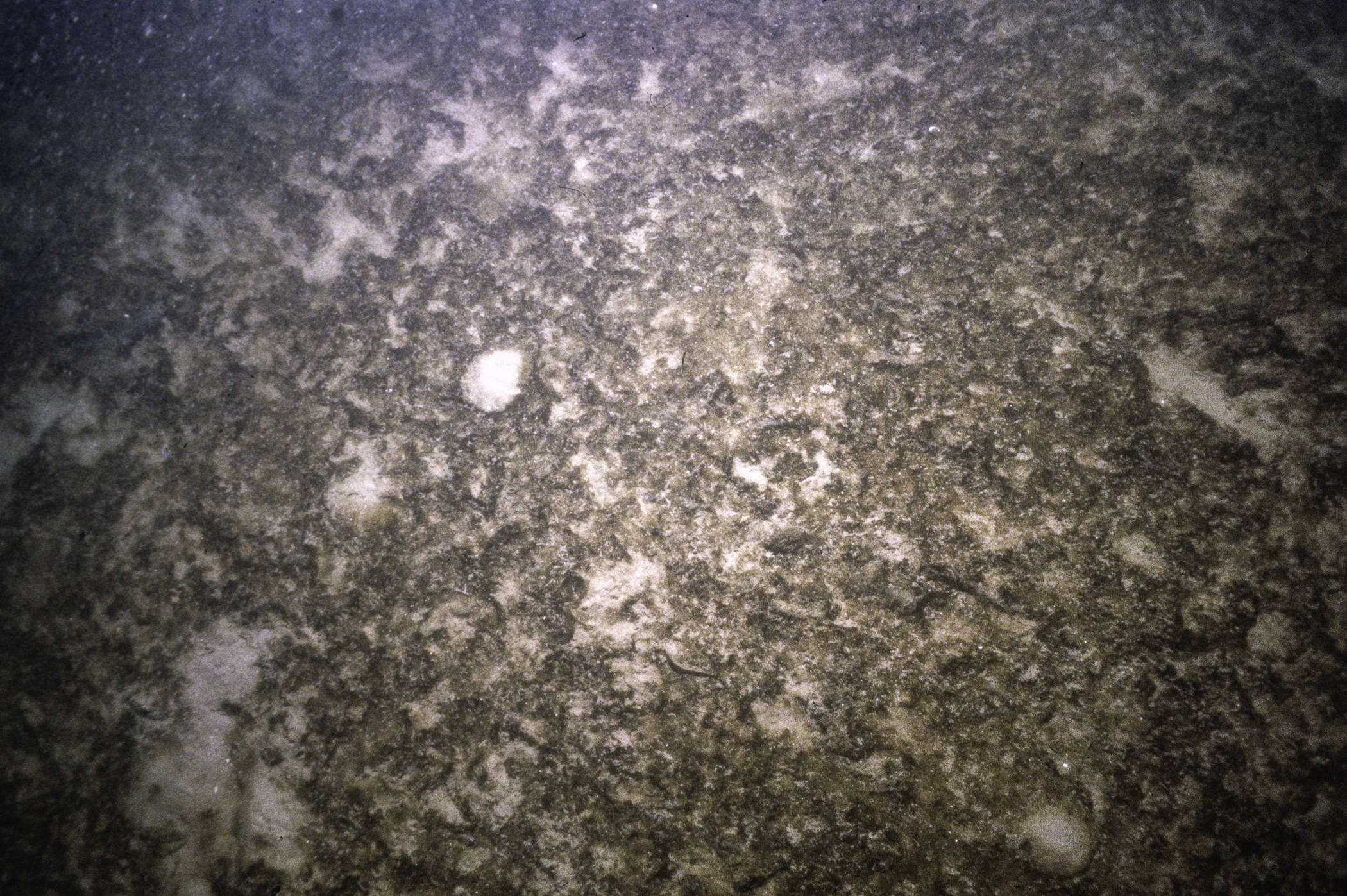
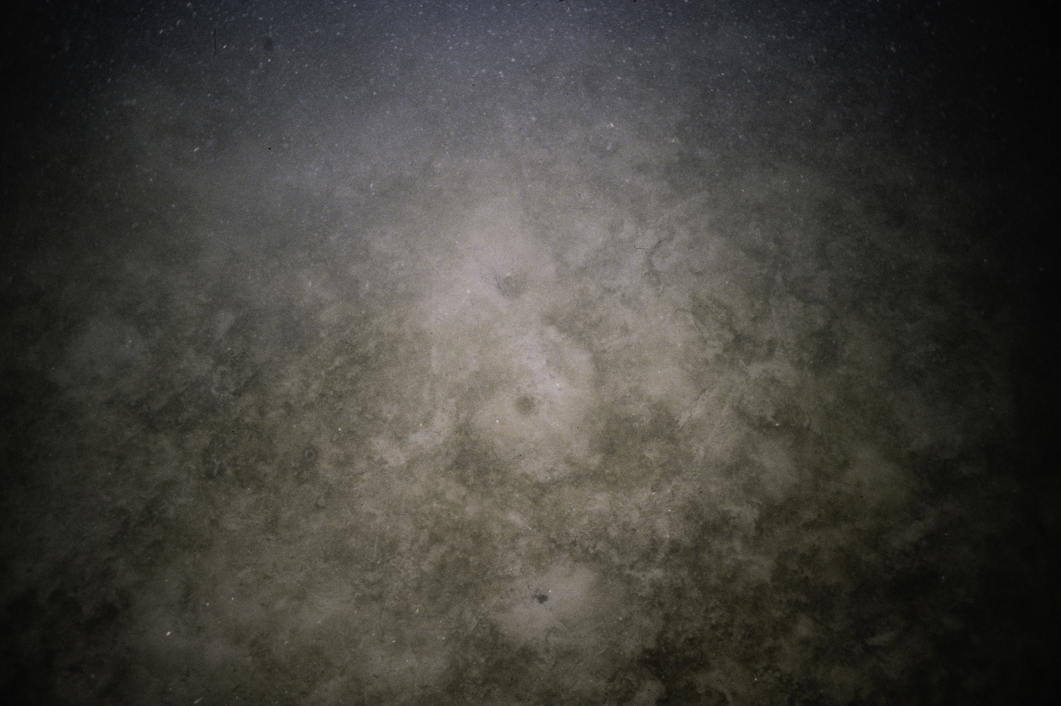
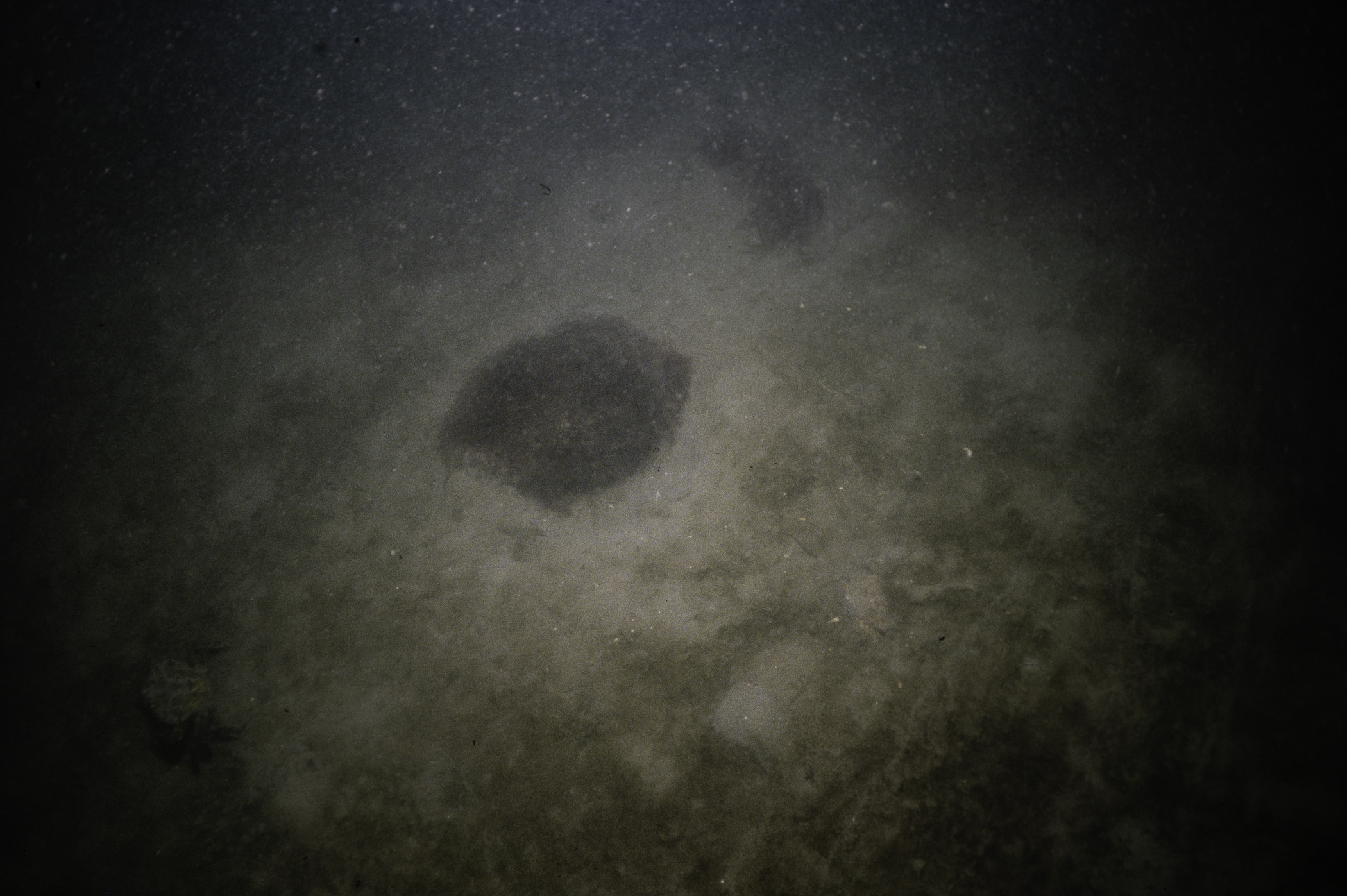
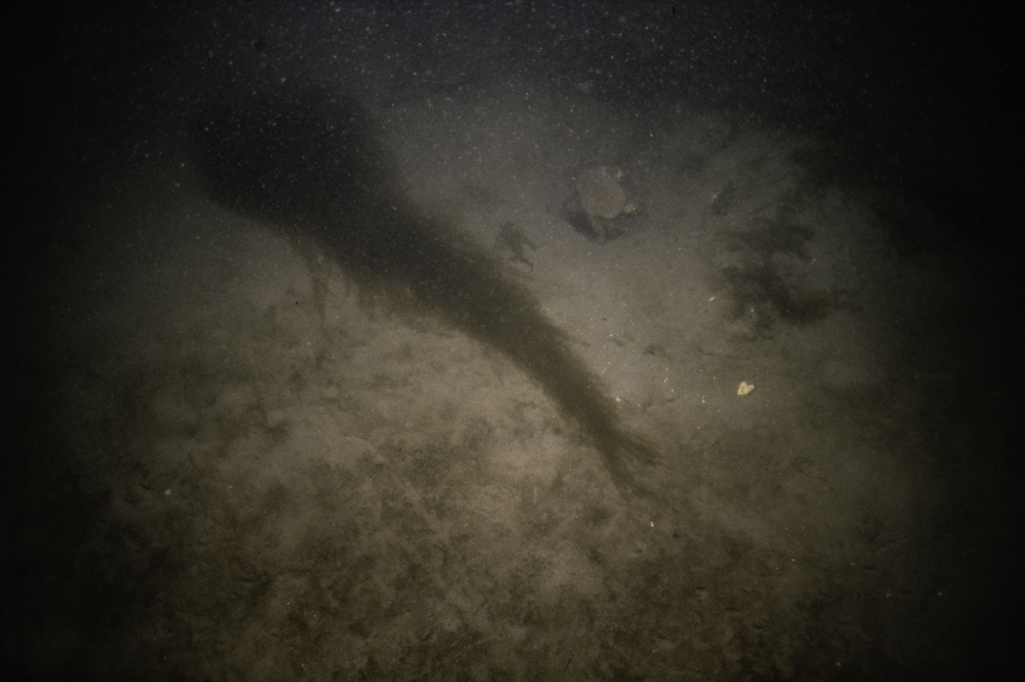
W of Chapel Island, Strangford Lough.
Survey number: 550 Event number: 19820506/01 Date: 1982-05-06 GPS: 54.38683,-5.62500. Depth: -3.0 to -4.0 m. [ View map ]
Site Description: Shallow sloping sediment plain. Algal mat over some areas. Occasional cobble with seaweed community attached.
Species list (23 species recorded):
CNIDARIA
Halecium beanii
Aglaophenia tubulifera
Campanularia sp.
Synarachnactis lloydii
ANNELIDA
Lepidonotus squamatus
Arenicola marina
Amphitrite sp.
Chone infundibuliformis
CRUSTACEA
Nephrops norvegicus
Pagurus bernhardus
Cancer pagurus
Polybius depurator
Necora puber
Carcinus maenas
BRYOZOA
Cellaria fistulosa
ECHINODERMATA
Henricia oculata
Asterias rubens
Ophiothrix fragilis
TUNICATA
Synoicum pulmonaria
PISCES
Lophius piscatorius
Pomatoschistus minutus
CHROMOPHYTA
Saccharina latissima
CHLOROPHYTA
Ulva lactuca
No biotope record.
CNIDARIA
Halecium beanii P
Aglaophenia tubulifera P
Campanularia sp. P
Synarachnactis lloydii P
ANNELIDA
Lepidonotus squamatus P
Arenicola marina P
Amphitrite sp. P
Chone infundibuliformis P
CRUSTACEA
Nephrops norvegicus P
Pagurus bernhardus P
Cancer pagurus P
Polybius depurator P
Necora puber P
Carcinus maenas P
BRYOZOA
Cellaria fistulosa P
ECHINODERMATA
Henricia oculata P
Asterias rubens P
Ophiothrix fragilis P
TUNICATA
Synoicum pulmonaria P
PISCES
Lophius piscatorius P
Pomatoschistus minutus P
CHROMOPHYTA
Saccharina latissima P
CHLOROPHYTA
Ulva lactuca P
| Next site |


