Marine Biodiversity Data Portal - NI

West Light Gullies, Rathlin Island
Survey number: 780 Event number: 20241015/02 Date: 2024-10-15 GPS: 55.30563,-6.27427. Depth: -15.0 to -30.0 m. [ View map ]
Site Description: Circalittoral indented bedrock cliff exposed to strong tidal streams.
 |
 |
 |
 |
 |
 |
 |
 |
 |
 |
 |
 |
 |
 |
 |
 |
 |
 |
 |
 |
 |
 |
 |
 |
 |
 |
 |
 |
 |
 |
[ More images ] (30/32)
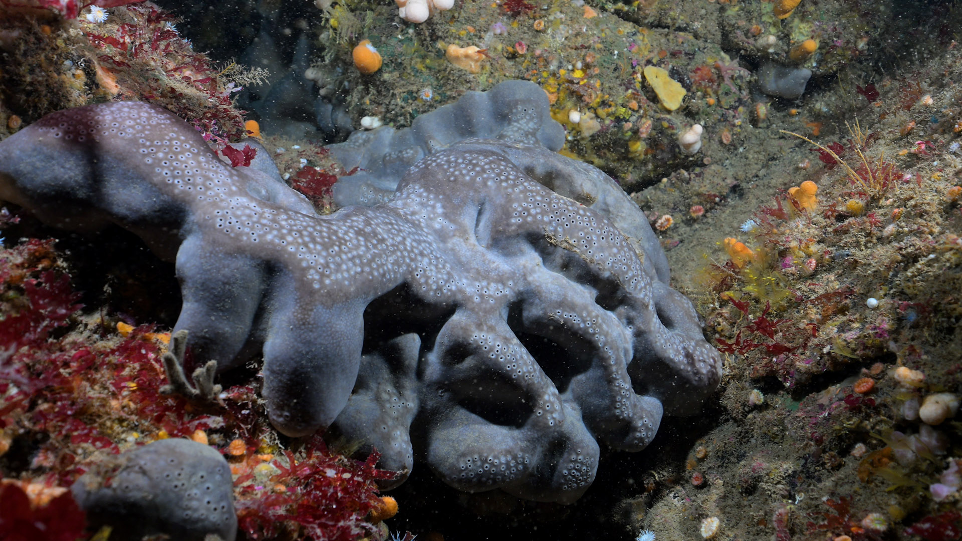
Species list (59 species recorded):
PORIFERA
Spongionella pulchella
Stryphnus ponderosus
Pachymatisma johnstonia
Axinella damicornis
Axinella dissimilis
Axinella infundibuliformis
Raspailia ramosa
Stelligera stuposa
Polymastia boletiformis
Tethya citrina
Iophon hyndmani
Iophonopsis nigricans
Lissodendoryx jenjonesae
Hemimycale columella
Hymedesmia paupertas
Stylostichon plumosum
Myxilla fimbriata
Plocamiancora arndti
Haliclona viscosa
CNIDARIA
Sertularella gayi
Nemertesia antennina
Aglaophenia tubulifera
Gymnangium montagui
Alcyonium digitatum
Parazoanthus anguicomus
Parazoanthus axinellae
Cylista elegans
Actinothoe sphyrodeta
Corynactis viridis
Caryophyllia smithii
CRUSTACEA
Adna anglica
Palinurus elephas
BRYOZOA
Crisia denticulata
Crisia eburnea
Electra pilosa
Flustra foliacea
Cellaria fistulosa
Porella compressa
Turbicellepora avicularis
Omalosecosa ramulosa
ECHINODERMATA
Henricia oculata
TUNICATA
Aplidium pallidum
Polysyncraton bilobatum
Ascidia mentula
Polycarpa pomaria
PISCES
Taurulus bubalis
Ctenolabrus rupestris
Labrus mixtus
Parablennius gattorugine
Thorogobius ephippiatus
RHODOPHYTA
Bonnemaisonia asparagoides
Metacallophyllis laciniata
Kallymenia reniformis
Schottera nicaeensis
Plocamium lyngbyanum
Heterosiphonia plumosa
Cryptopleura ramosa
Delesseria sanguinea
CHROMOPHYTA
Halopteris filicina
Biotope 1 : Mixed faunal turf communities. CR.HCR.Xfa (EUNIS A4.13)
PORIFERA
Spongionella pulchella R
Stryphnus ponderosus O
Pachymatisma johnstonia F
Axinella damicornis R
Axinella dissimilis R
Axinella infundibuliformis O
Raspailia ramosa O
Stelligera stuposa O
Polymastia boletiformis O
Tethya citrina O
Iophon hyndmani O
Iophonopsis nigricans R
Lissodendoryx jenjonesae O
Hemimycale columella O
Hymedesmia paupertas O
Stylostichon plumosum R
Myxilla fimbriata O
Plocamiancora arndti O
Haliclona viscosa F
CNIDARIA
Sertularella gayi O
Nemertesia antennina F
Aglaophenia tubulifera O
Gymnangium montagui R
Alcyonium digitatum C
Parazoanthus anguicomus O
Parazoanthus axinellae O
Cylista elegans O
Actinothoe sphyrodeta F
Corynactis viridis F
Caryophyllia smithii C
CRUSTACEA
Adna anglica C
Palinurus elephas R
BRYOZOA
Crisia denticulata F
Crisia eburnea F
Electra pilosa F
Flustra foliacea O
Cellaria fistulosa O
Porella compressa R
Turbicellepora avicularis O
Omalosecosa ramulosa O
ECHINODERMATA
Henricia oculata O
TUNICATA
Aplidium pallidum O
Polysyncraton bilobatum O
Ascidia mentula R
Polycarpa pomaria R
PISCES
Taurulus bubalis O
Ctenolabrus rupestris O
Labrus mixtus O
Parablennius gattorugine O
Thorogobius ephippiatus O
RHODOPHYTA
Bonnemaisonia asparagoides O
Metacallophyllis laciniata O
Kallymenia reniformis O
Schottera nicaeensis O
Plocamium lyngbyanum F
Heterosiphonia plumosa F
Cryptopleura ramosa O
Delesseria sanguinea F
CHROMOPHYTA
Halopteris filicina O
| Previous site | Next site |