Marine Biodiversity Data Portal - NI

West of Long Rock, Strangford Lough
Survey number: 780 Event number: 20240725/01 Date: 2024-07-25 GPS: 54.40742,-5.62437. Depth: -8.0 to -20.0 m. [ View map ]
Site Description: Muddy seabed with shells and stones supporting ascidians, hydroids and bryozoans. Moderate tidal stream and very wave sheltered.
Species list (37 species recorded):
PORIFERA
Amphilectus fucorum
Suberites ficus
CNIDARIA
Halecium beanii
Halecium plumosum
Sertularella polyzonias
Halopteris catharina
Kirchenpaueria pinnata
Nemertesia antennina
Nemertesia ramosa
Plumularia setacea
Aglaophenia pluma
Alcyonium digitatum
Synarachnactis lloydii
PLATYHELMINTHES
Prostheceraeus vittatus
CRUSTACEA
Balanus crenatus
Inachus dorsettensis
Macropodia rostrata
Polybius depurator
Necora puber
MOLLUSCA
Doto fragilis
Doto pinnatifida
Okenia nodosa
Acanthodoris pilosa
Cadlina laevis
BRYOZOA
Alcyonidium diaphanum
Membranipora membranacea
Electra pilosa
Cradoscrupocellaria reptans
Scrupocellaria scruposa
Cellaria fistulosa
ECHINODERMATA
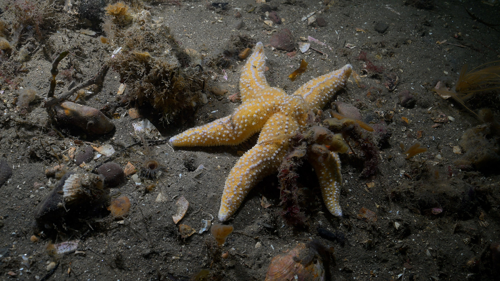
Asterias rubens
TUNICATA
Clavelina lepadiformis
Diplosoma listerianum
Perophora japonica
Ascidiella aspersa
RHODOPHYTA
Calliblepharis jubata
Phycodrys rubens
Amphilectus fucorum
Suberites ficus
CNIDARIA
Halecium beanii
Halecium plumosum
Sertularella polyzonias
Halopteris catharina
Kirchenpaueria pinnata
Nemertesia antennina
Nemertesia ramosa
Plumularia setacea
Aglaophenia pluma
Alcyonium digitatum
Synarachnactis lloydii
PLATYHELMINTHES
Prostheceraeus vittatus
CRUSTACEA
Balanus crenatus
Inachus dorsettensis
Macropodia rostrata
Polybius depurator
Necora puber
MOLLUSCA
Doto fragilis
Doto pinnatifida
Okenia nodosa
Acanthodoris pilosa
Cadlina laevis
BRYOZOA
Alcyonidium diaphanum
Membranipora membranacea
Electra pilosa
Cradoscrupocellaria reptans
Scrupocellaria scruposa
Cellaria fistulosa
ECHINODERMATA
Asterias rubens
TUNICATA
Clavelina lepadiformis
Diplosoma listerianum
Perophora japonica
Ascidiella aspersa
RHODOPHYTA
Calliblepharis jubata
Phycodrys rubens
Biotope 1 : Circalittoral muddy sand. SS.SSa.CMuSa (EUNIS A5.26)
PORIFERA
Amphilectus fucorum O
Suberites ficus R
CNIDARIA
Halecium beanii O
Halecium plumosum F
Sertularella polyzonias R
Halopteris catharina O
Kirchenpaueria pinnata O
Nemertesia antennina F
Nemertesia ramosa O
Plumularia setacea O
Aglaophenia pluma R
Alcyonium digitatum R
Synarachnactis lloydii O
PLATYHELMINTHES
Prostheceraeus vittatus R
CRUSTACEA
Balanus crenatus C
Inachus dorsettensis O
Macropodia rostrata O
Polybius depurator O
Necora puber O
MOLLUSCA
Doto fragilis O
Doto pinnatifida O
Okenia nodosa R
Acanthodoris pilosa O
Cadlina laevis R
BRYOZOA
Alcyonidium diaphanum C
Membranipora membranacea O
Electra pilosa O
Cradoscrupocellaria reptans O
Scrupocellaria scruposa F
Cellaria fistulosa O
ECHINODERMATA
Asterias rubens O
TUNICATA
Clavelina lepadiformis O
Diplosoma listerianum F
Perophora japonica F
Ascidiella aspersa O
RHODOPHYTA
Calliblepharis jubata R
Phycodrys rubens O
| Previous site | Next site |