Marine Biodiversity Data Portal - NI
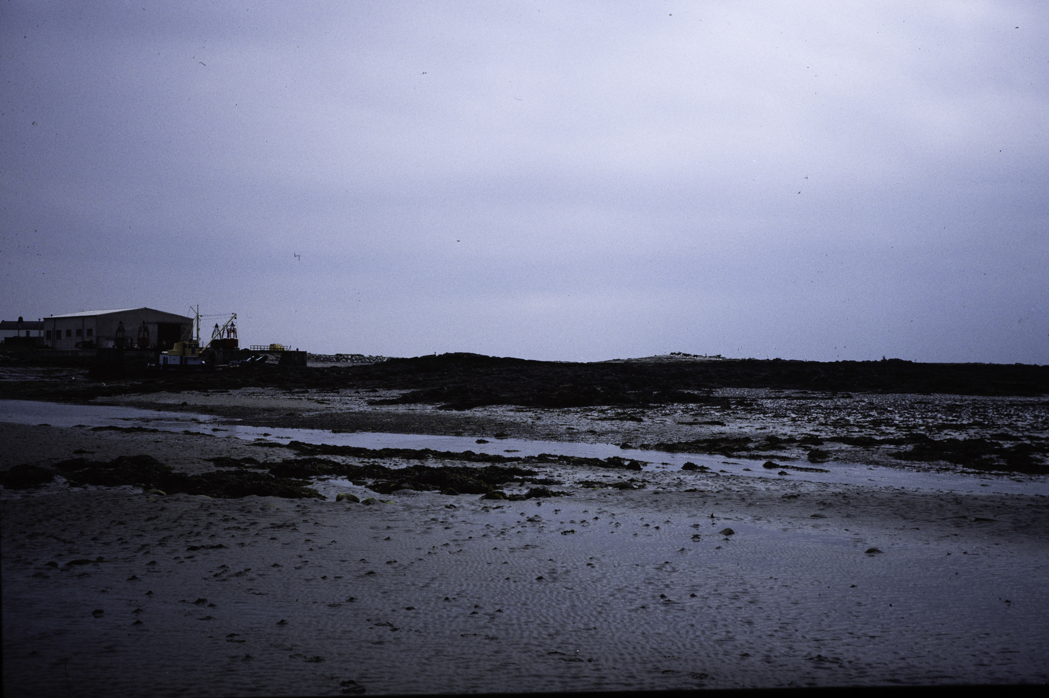
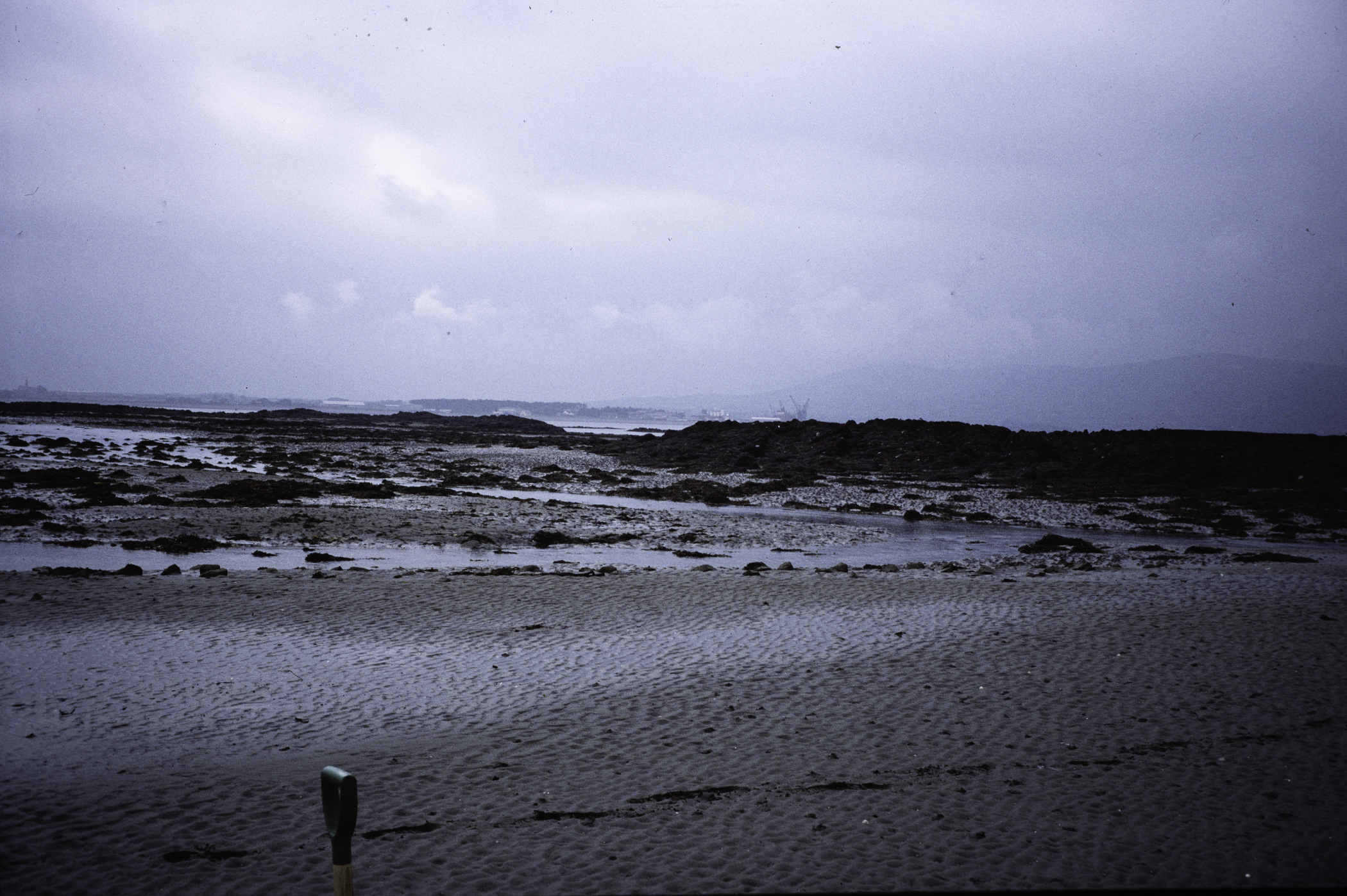
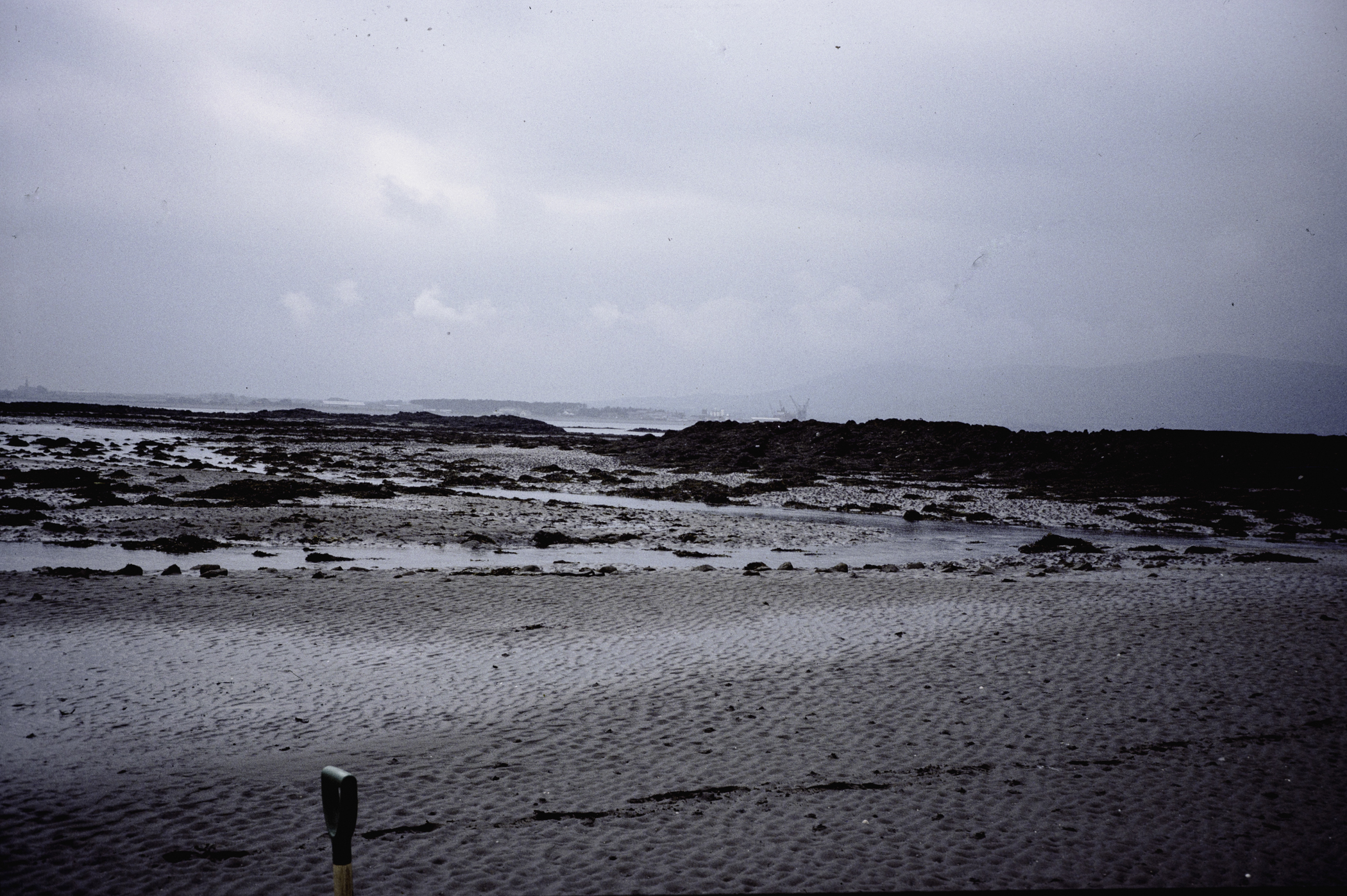
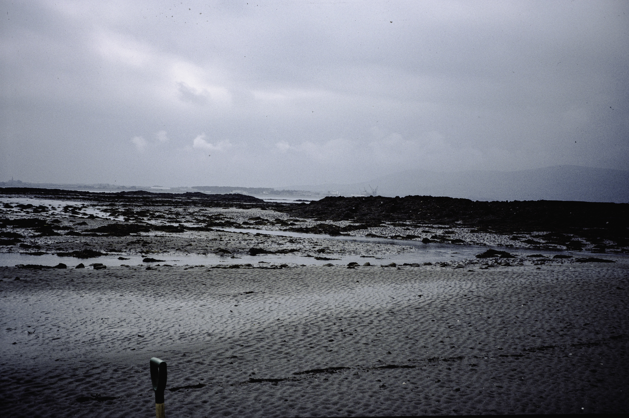
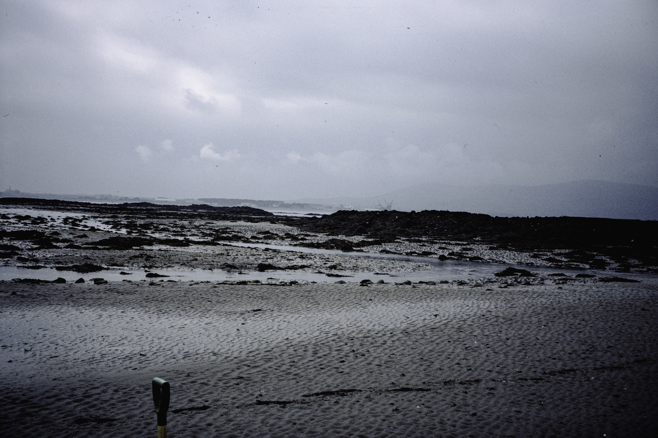
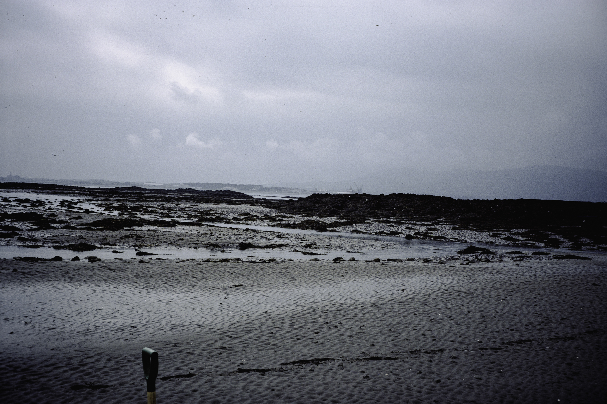
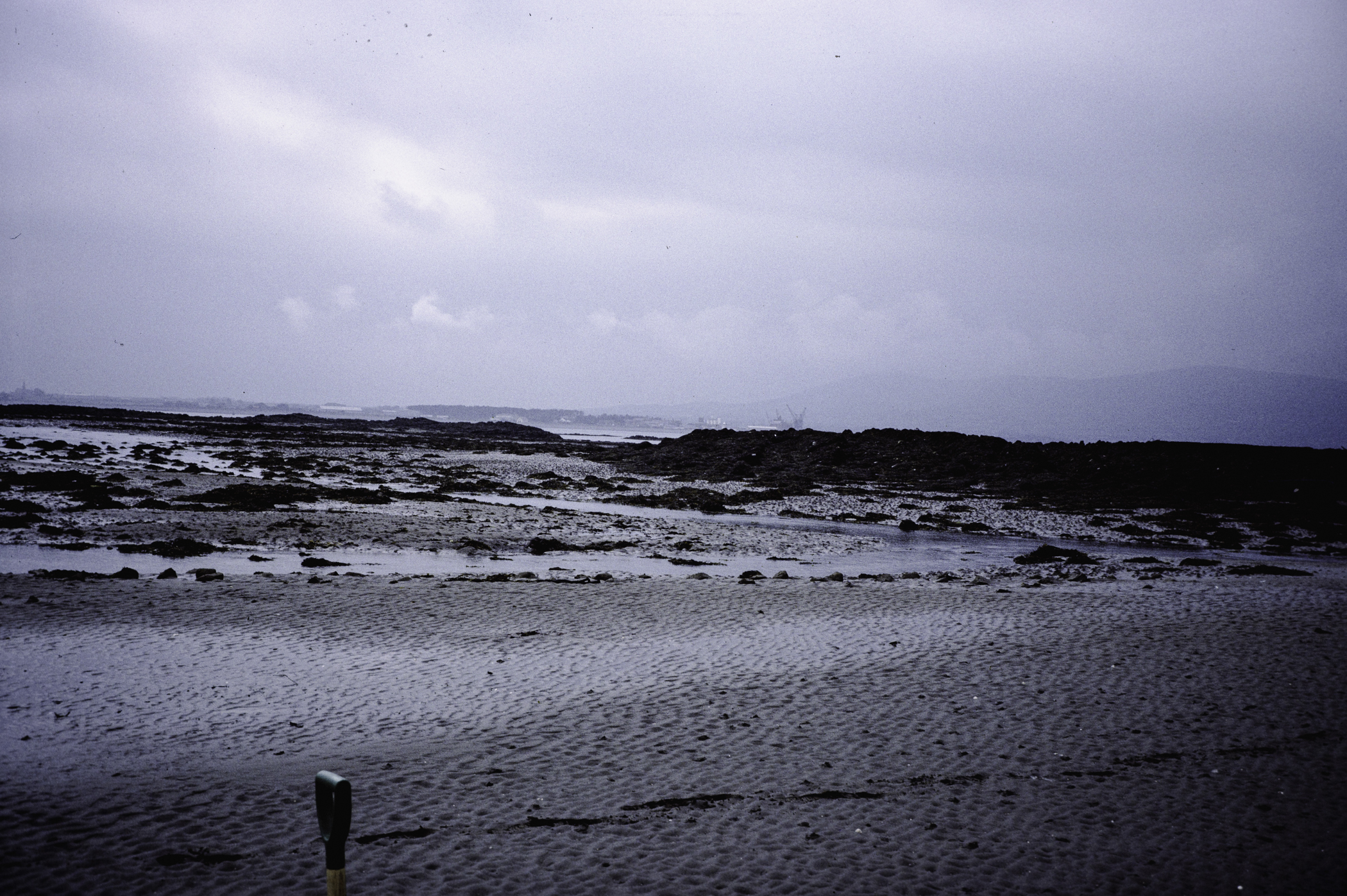
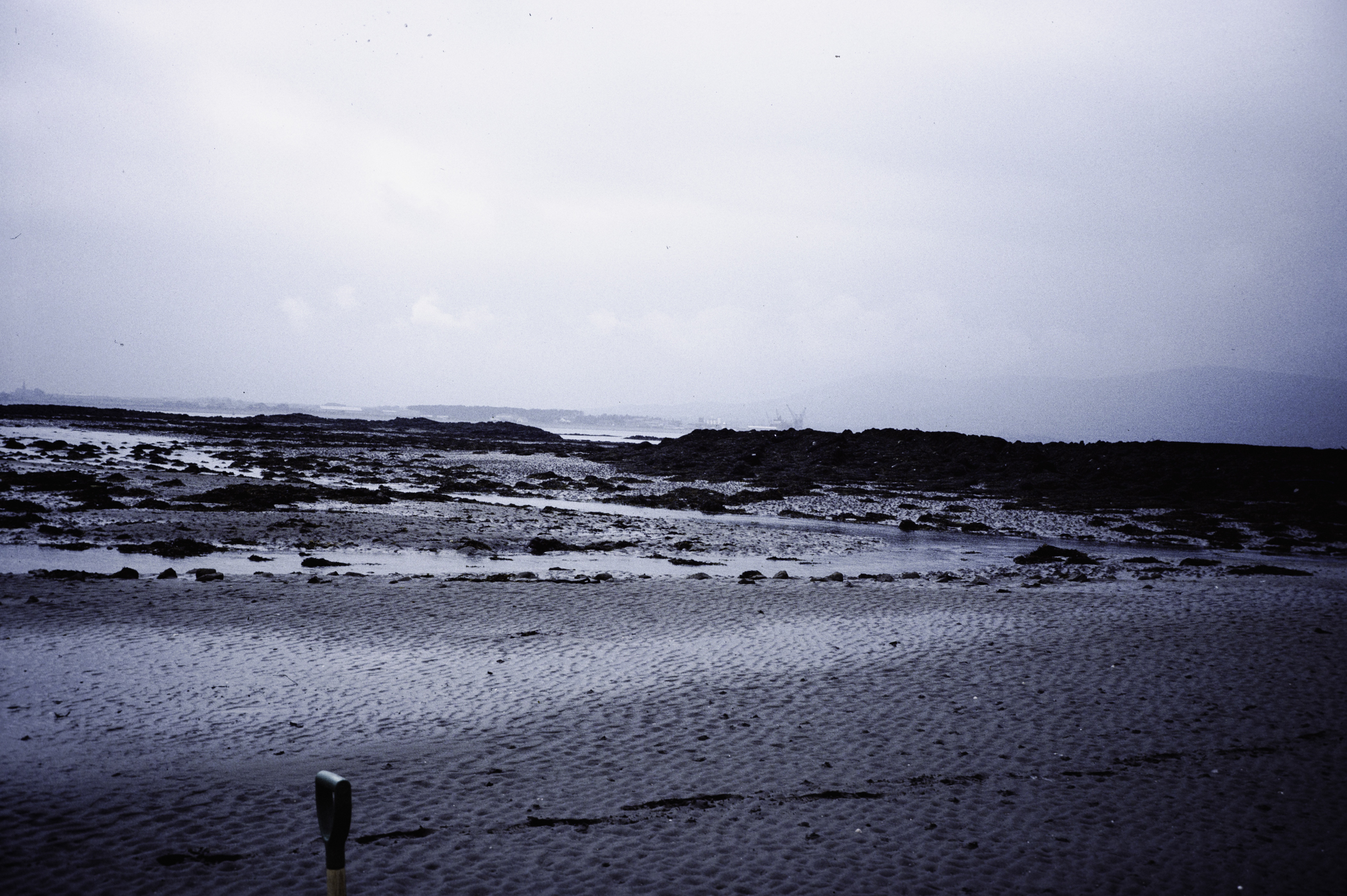
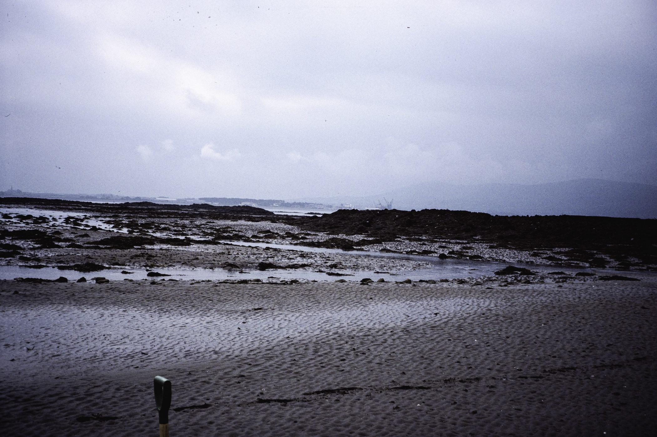
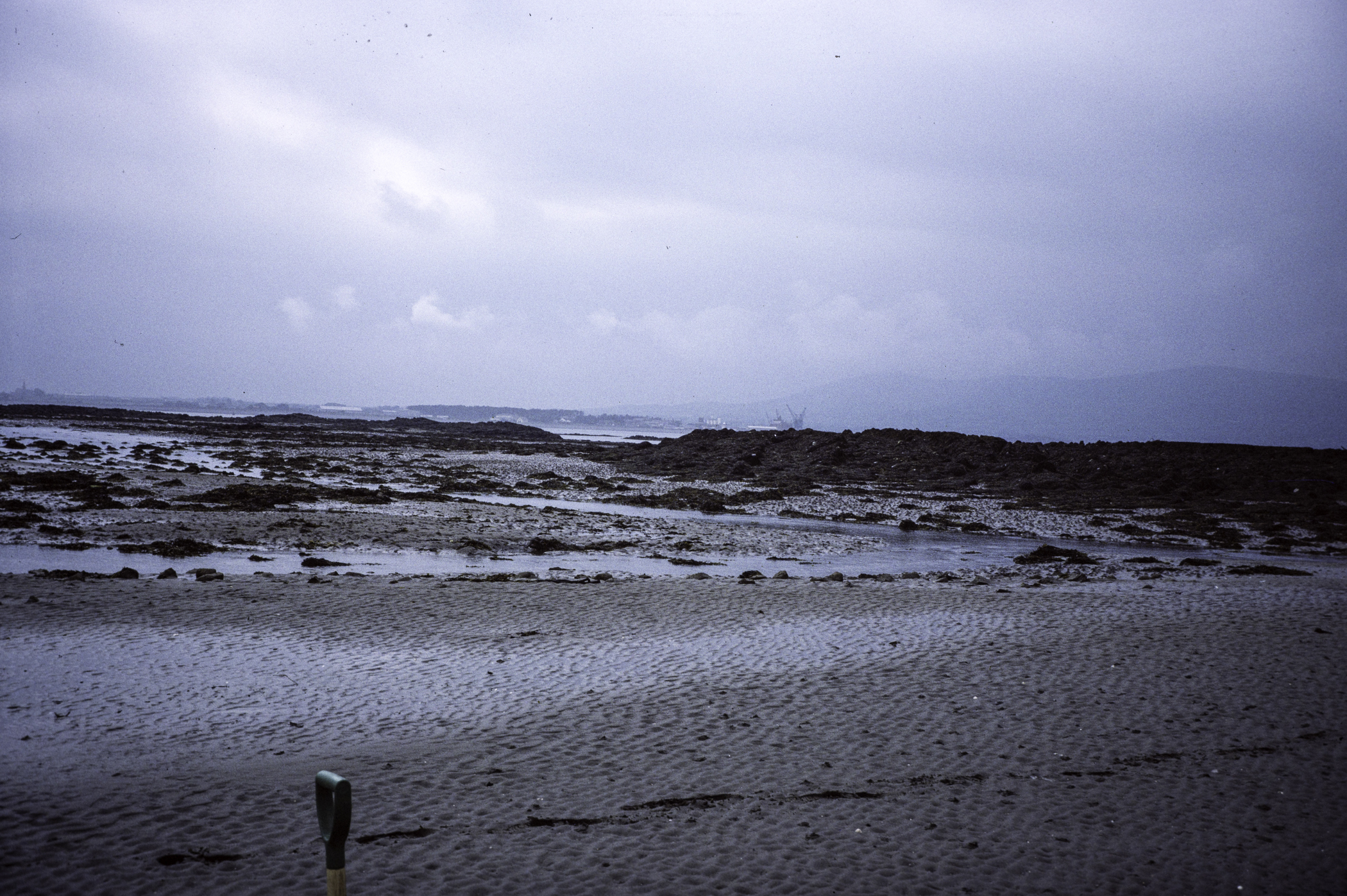
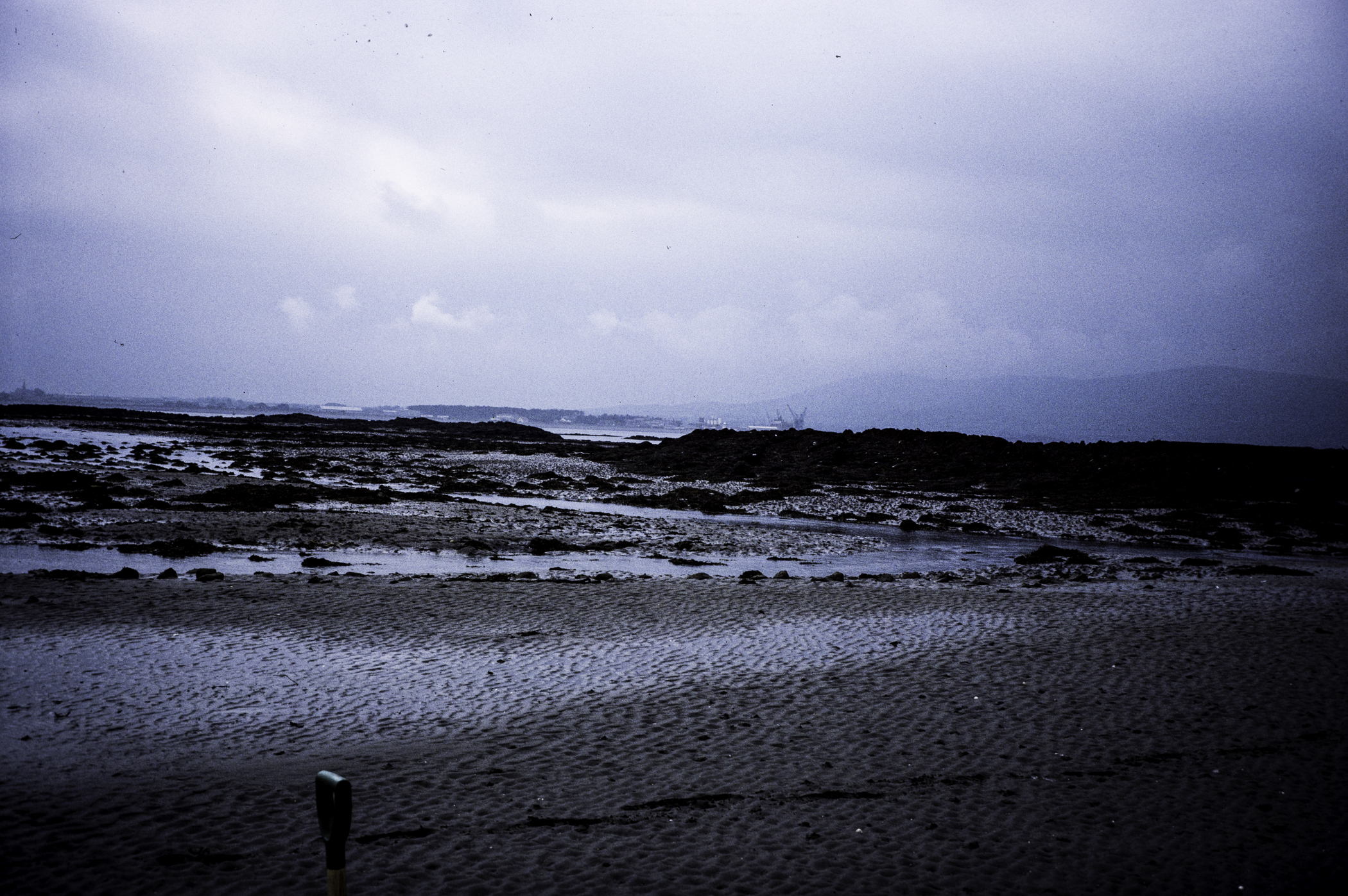
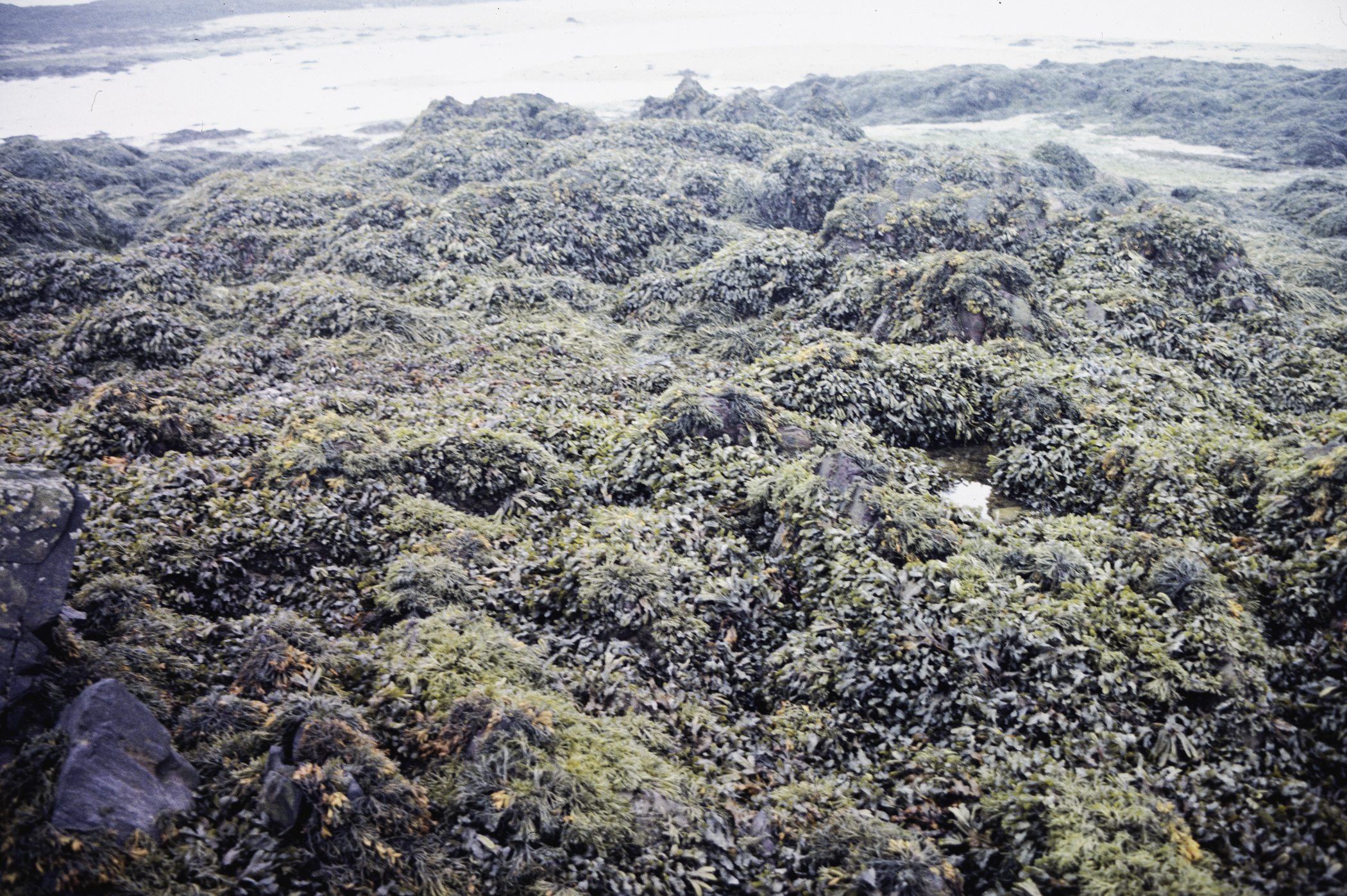
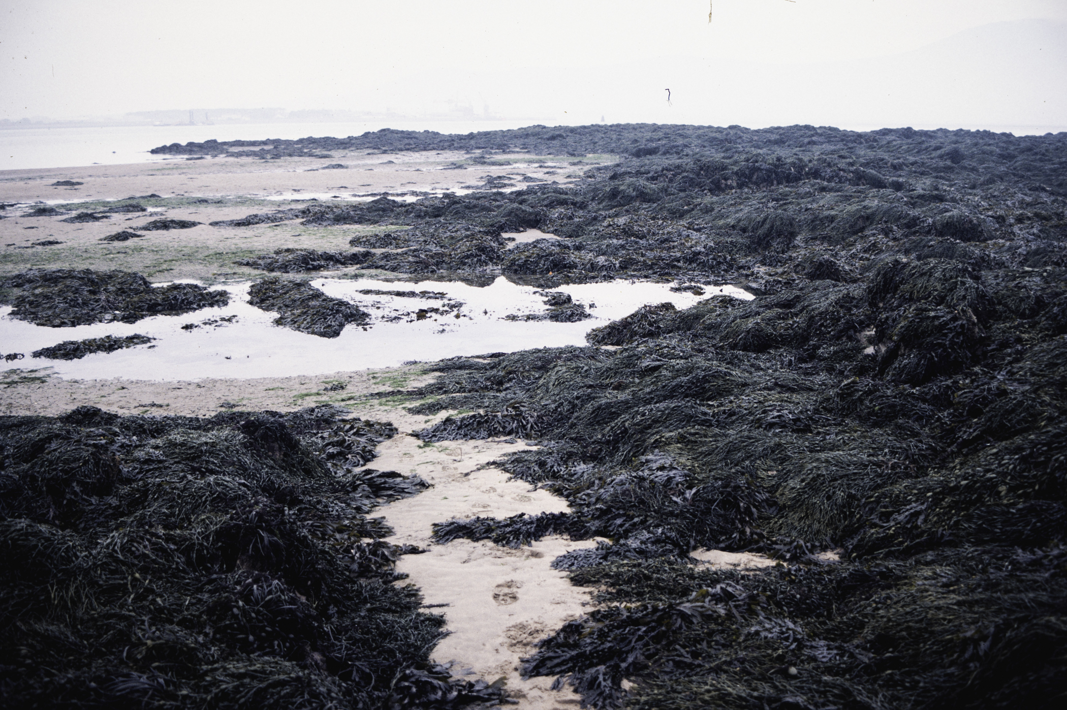
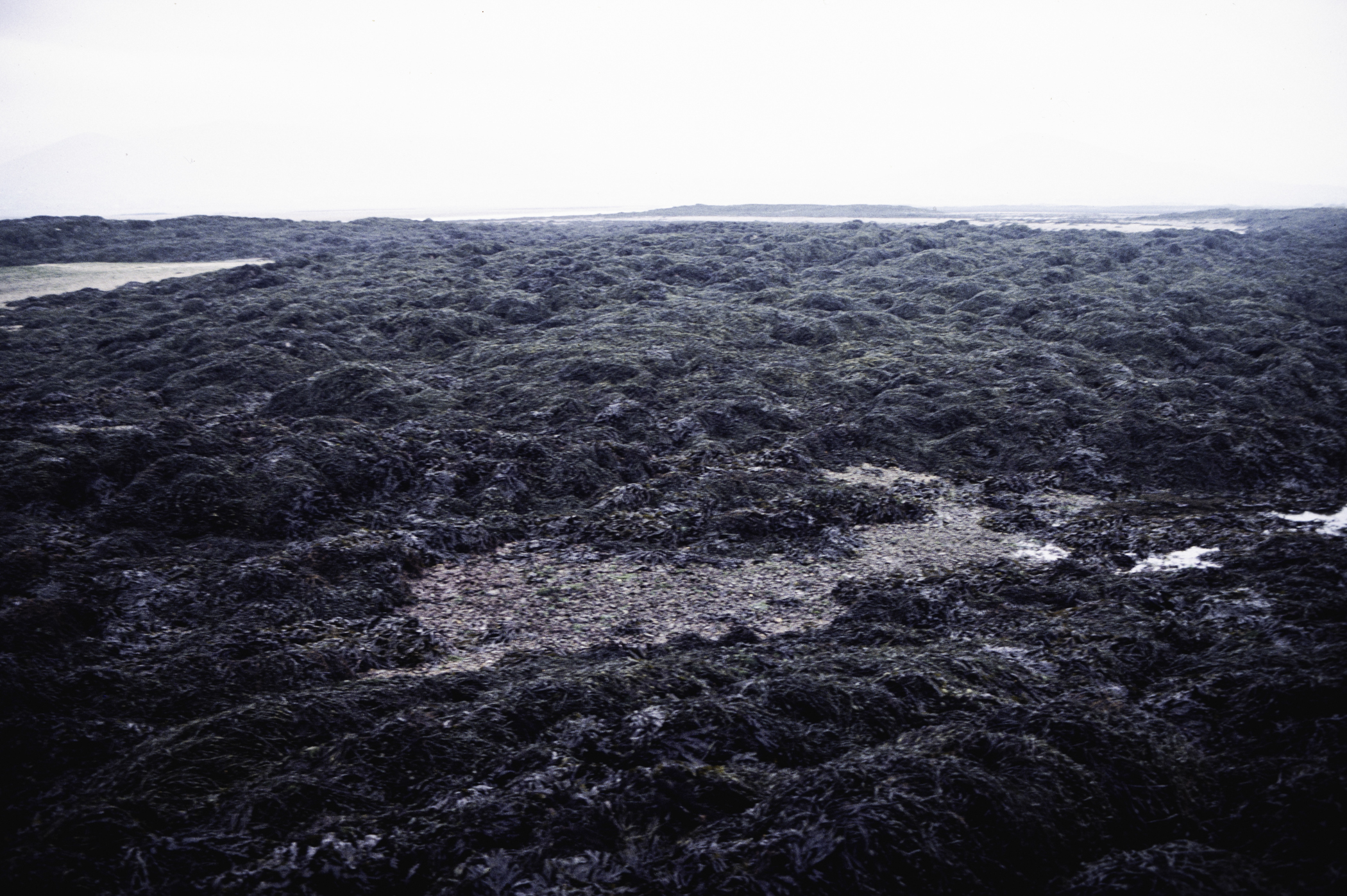
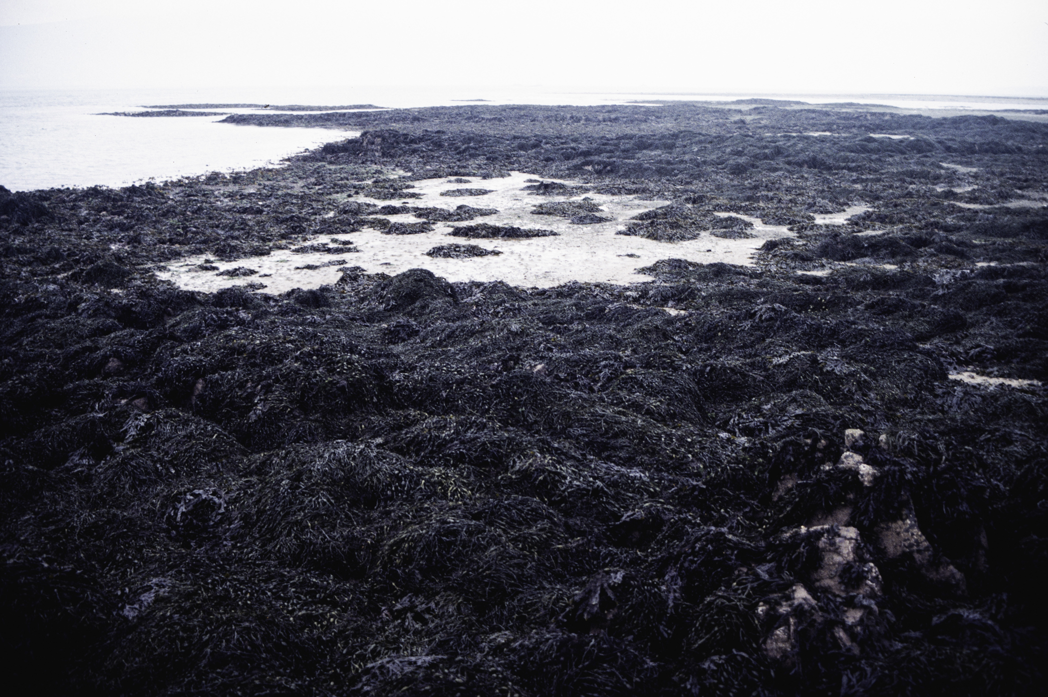
Greencastle Rocks, Carlingford Lough.
Survey number: 555 Event number: 19860713/21 Date: 1986-07-13 GPS: 54.04083,-6.11083. Depth: 3.5 to 0.2 m. [ View map ]
Site Description: The site is a series of rock outcrops arising from a sedimentary substrate which are surrounded by sand and tend to collect stones and pebbles between them. The outcrops are formed from hard sandstone which has sharp vertical ridges with many crevices between them. The local environment is complex with the outcrops providing more shelter for stone and sand areas between them, and causing currents to divide on high tide from the narrows. The ridges have a thin covering of fine muddy sand and a fucoid dominated the most extensive zone being Ascophyllum, on ridges and sediment. The transect extends from a saltmarsh/grass area on the largest outcrop, over two other outcrops and sediment between to the Carlingford Narrows. Here the water is very turbid. The site is situated near a wharf, but this does not seem to have any adverse effect.
 |
 |
 |
 |
 |
 |
 |
 |
 |
 |
 |
 |
 |
 |
 |
[ More images ] (15/48)
No records for site.
| Previous site | Next site |