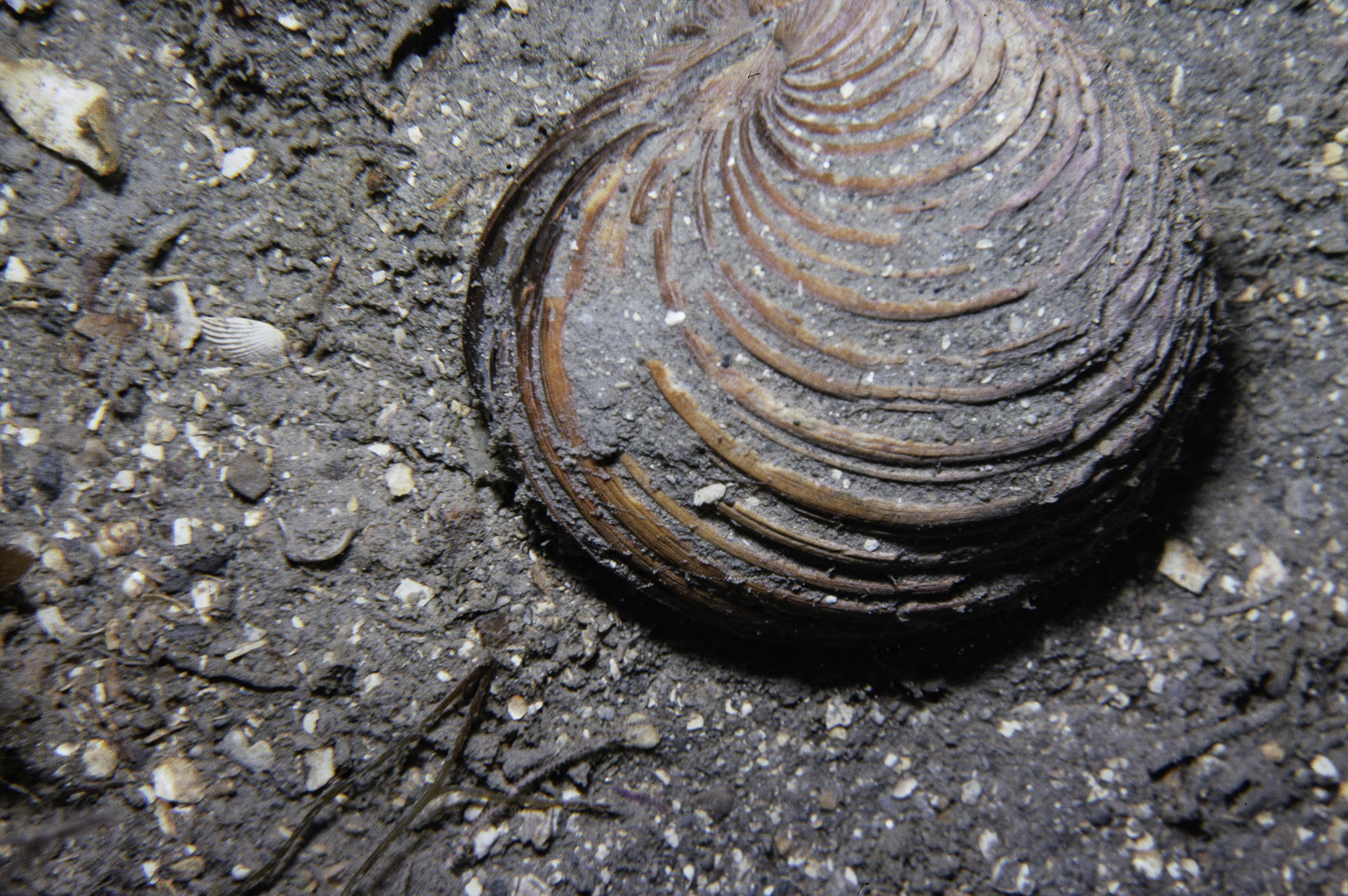
Marine Biodiversity Data Portal - NI
Abbey Rock, Strangford Lough.
Survey number: 551 Event number: 19800702/05 Date: 1980-07-02 GPS: 54.42800,-5.58333 [ View map ]
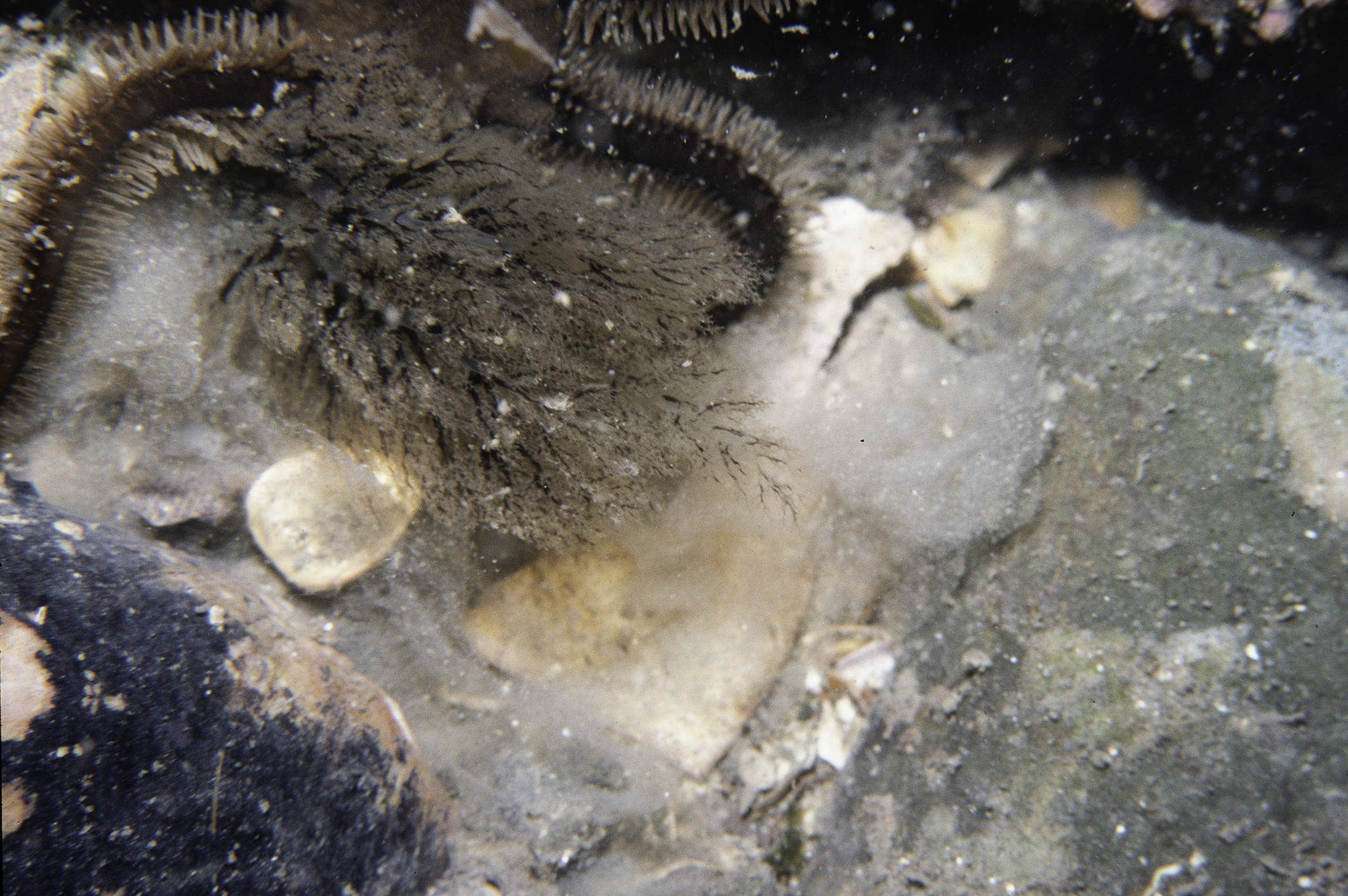
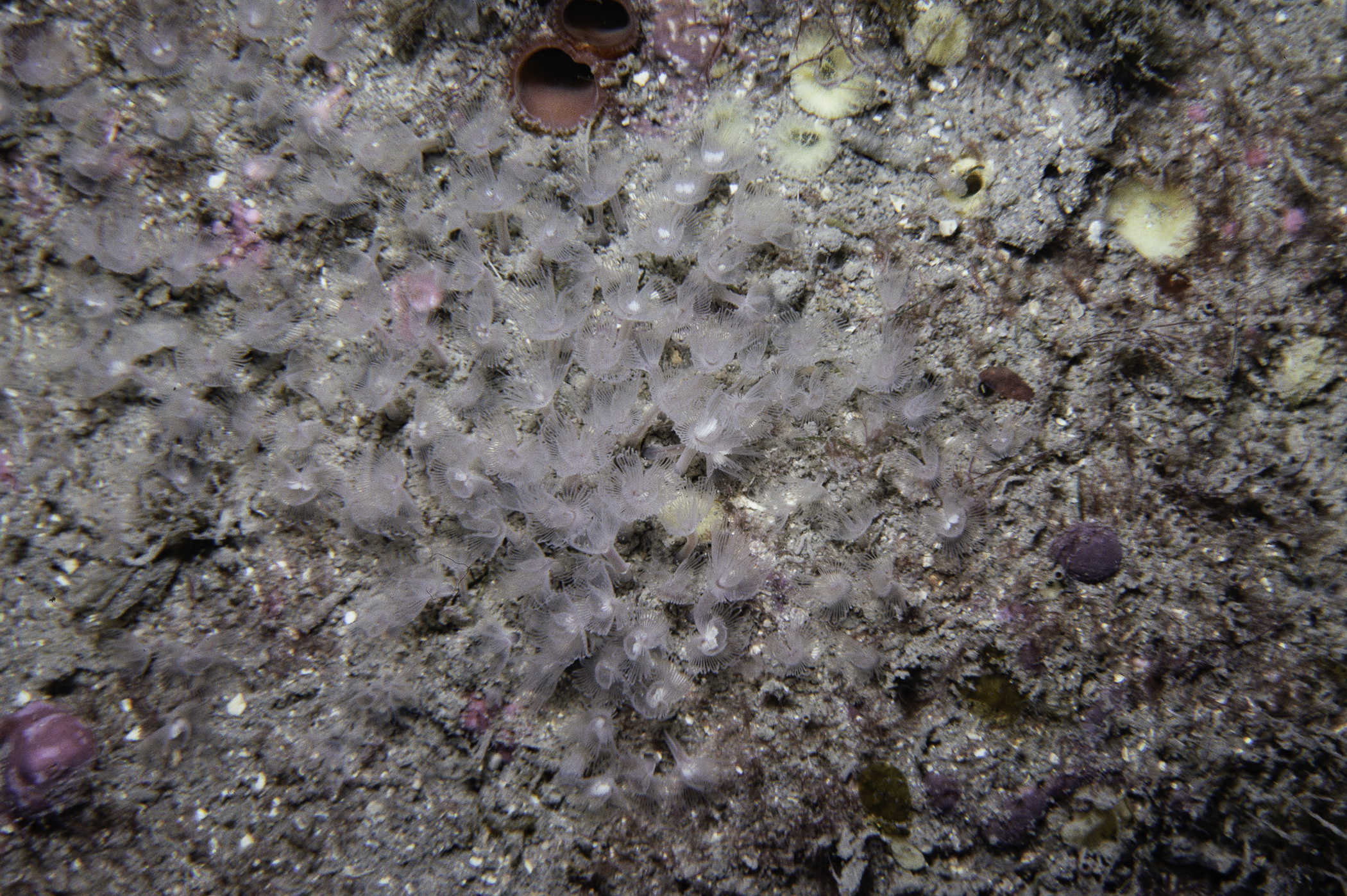
Site Description: Boulder-flat bedrock. Sand at 9m changing to finer sand with shell and mud component from 12-19m then on to thick Modiolus level.
Species list (35 species recorded):
PORIFERA
Cliona celata
Halichondria sp.
CNIDARIA
Abietinaria abietina
Nemertesia antennina
Alcyonium digitatum
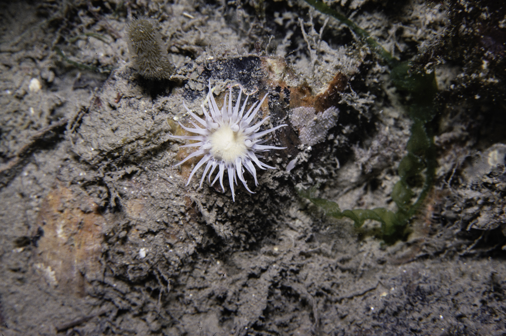
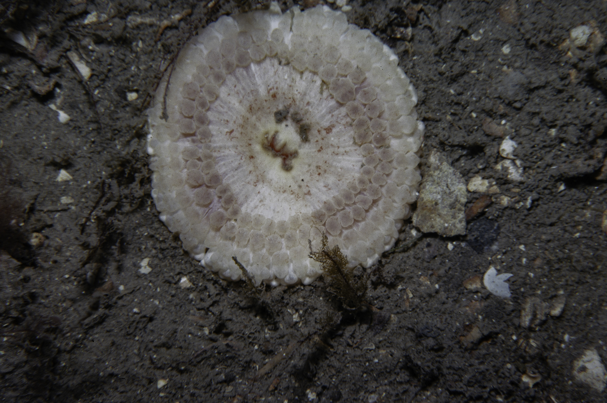
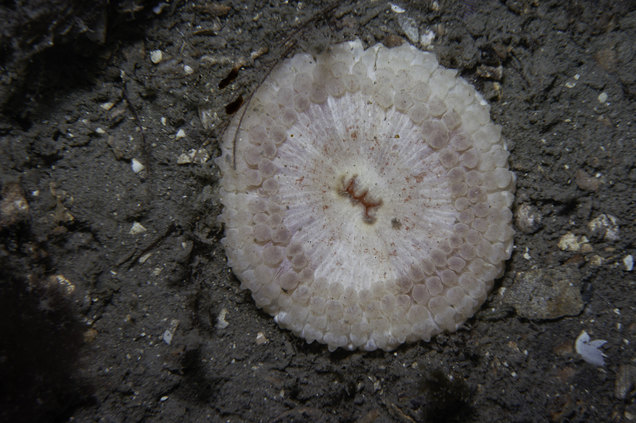
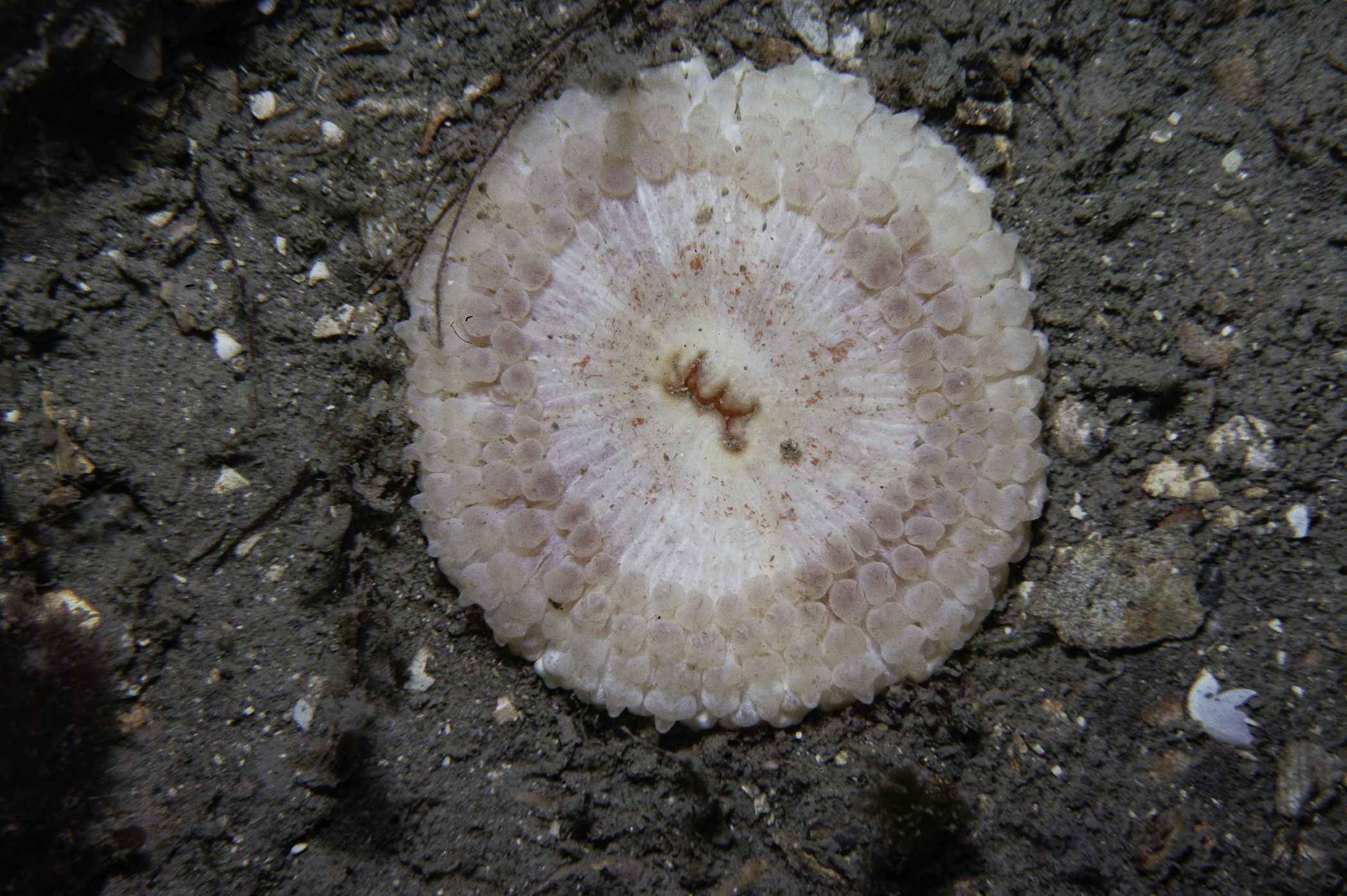
Synarachnactis lloydii
Cylista elegans
Actinothoe sphyrodeta
CRUSTACEA
Pagurus sp.
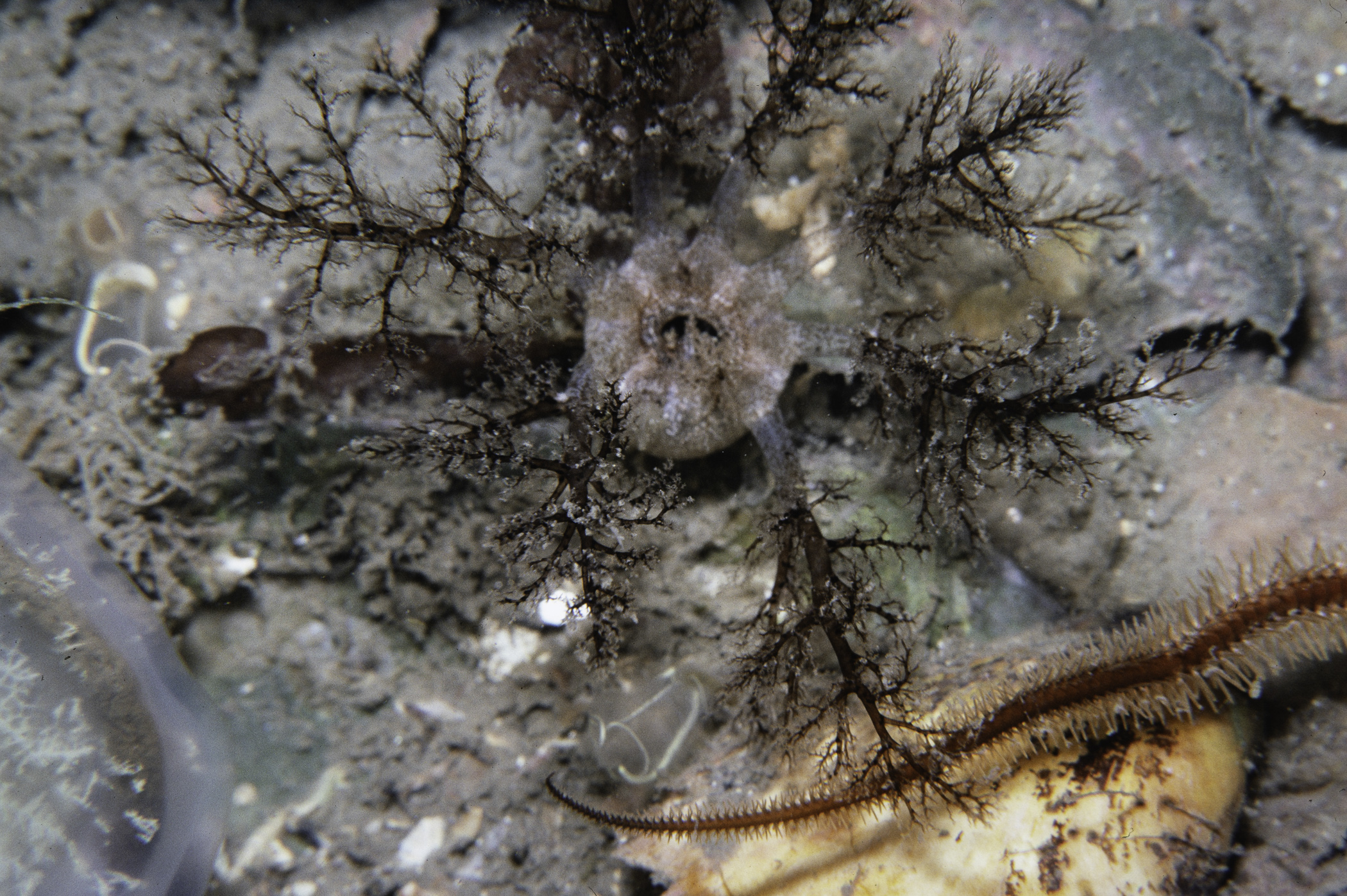
Hyas araneus
Hyas coarctatus
Polybius depurator
Carcinus maenas
MOLLUSCA
Calliostoma zizyphinum
Modiolus modiolus
Pecten maximus
Astarte sulcata
Ensis sp.
Venus casina
ECHINODERMATA
Solaster endeca
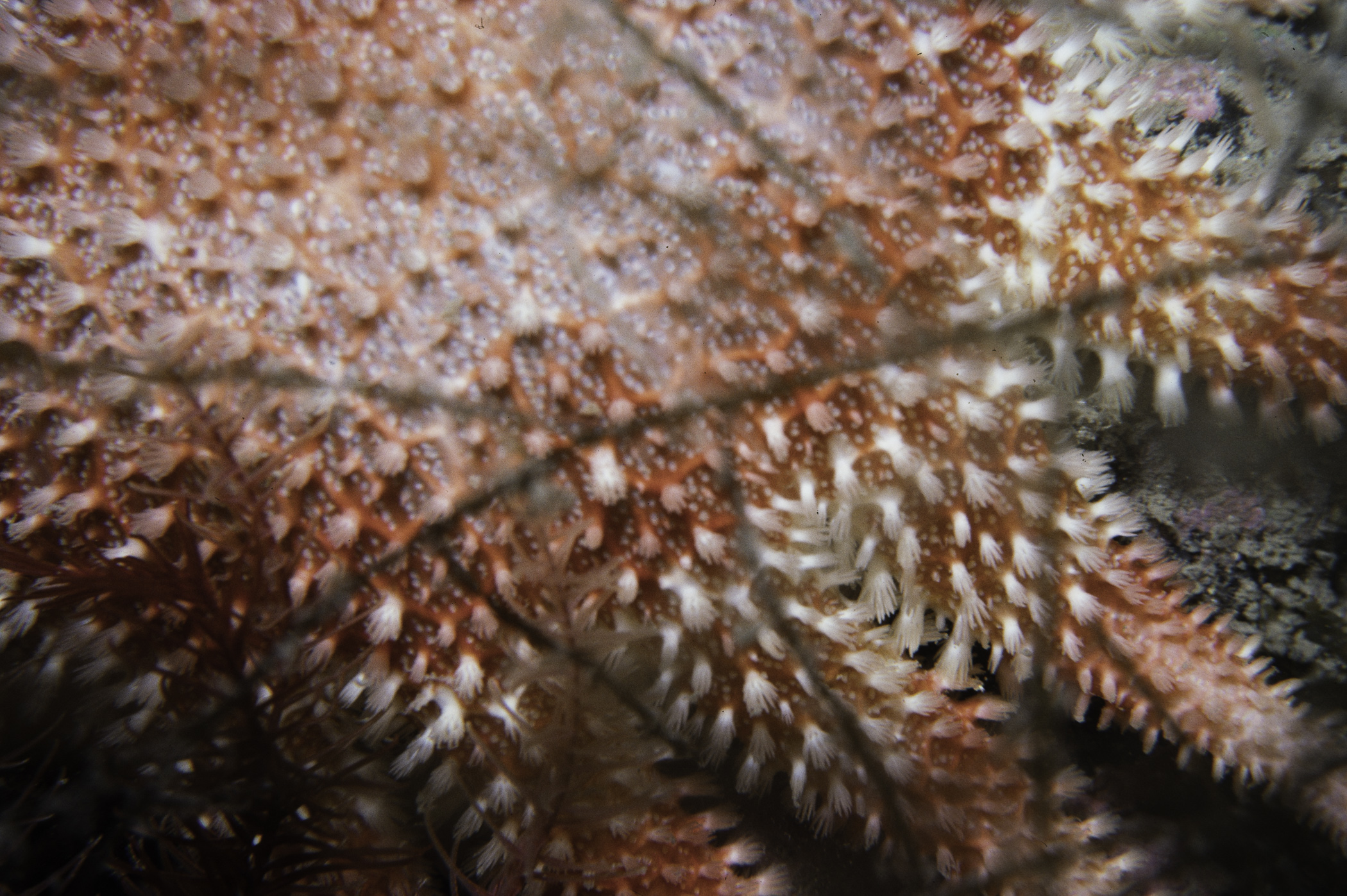
Crossaster papposus
Asterias rubens
Leptasterias muelleri
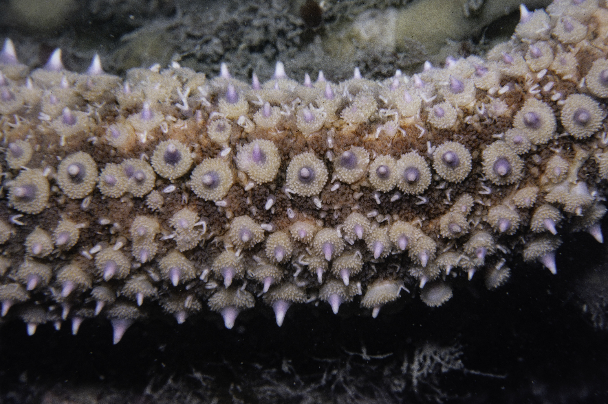
Marthasterias glacialis
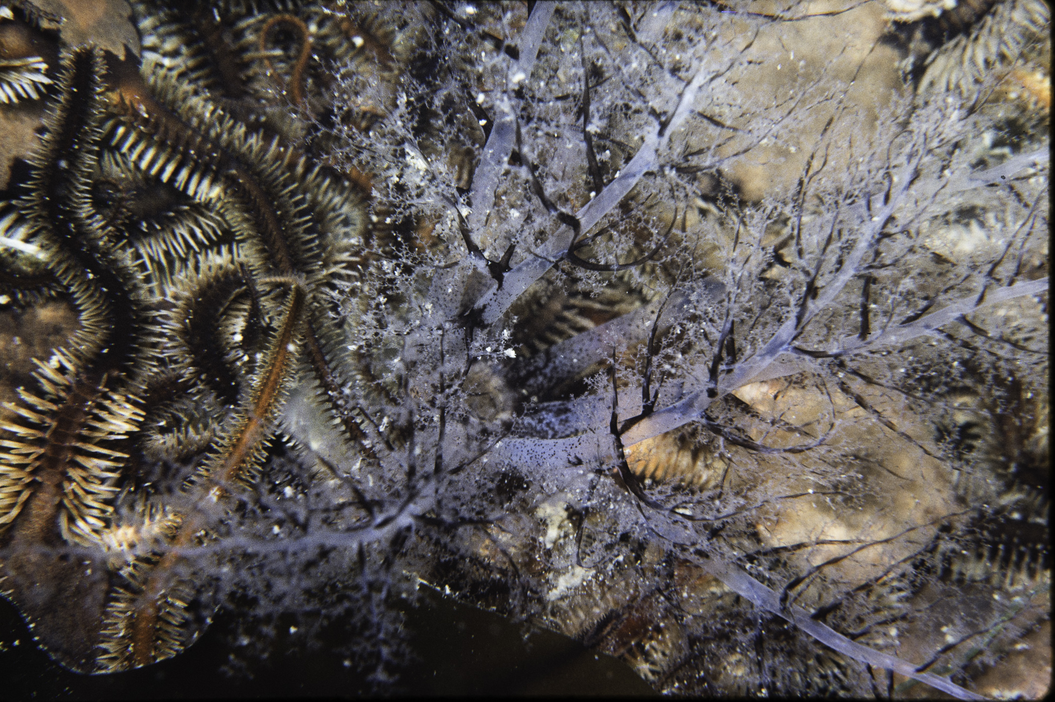
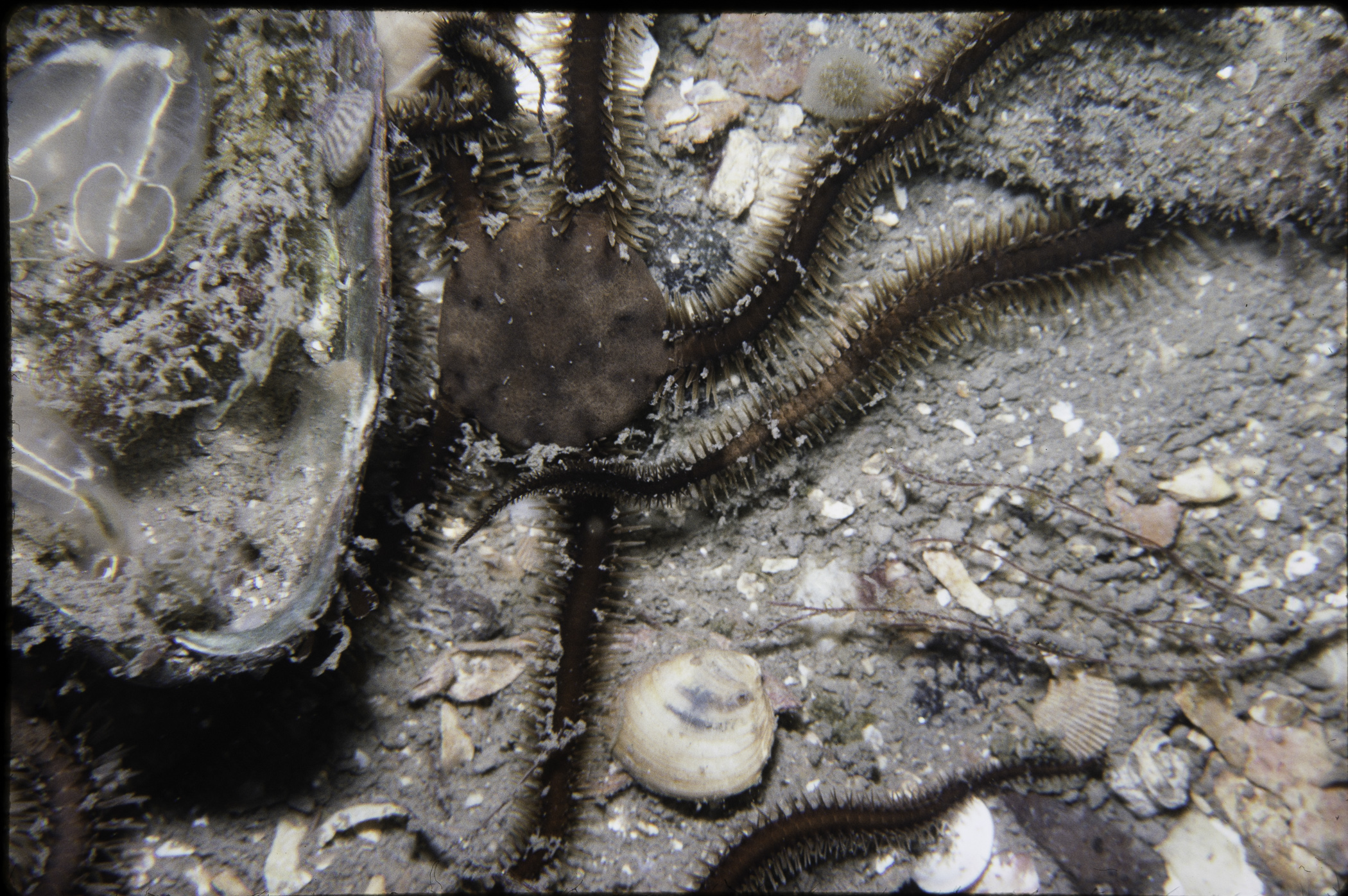
Ophiothrix fragilis
Ophiocomina nigra
Ophiura ophiura
Thyone fusus
Thyone roscovita
TUNICATA
Clavelina lepadiformis
PISCES
Scyliorhinus canicula
Gadus morhua
Pollachius virens
Callionymus lyra
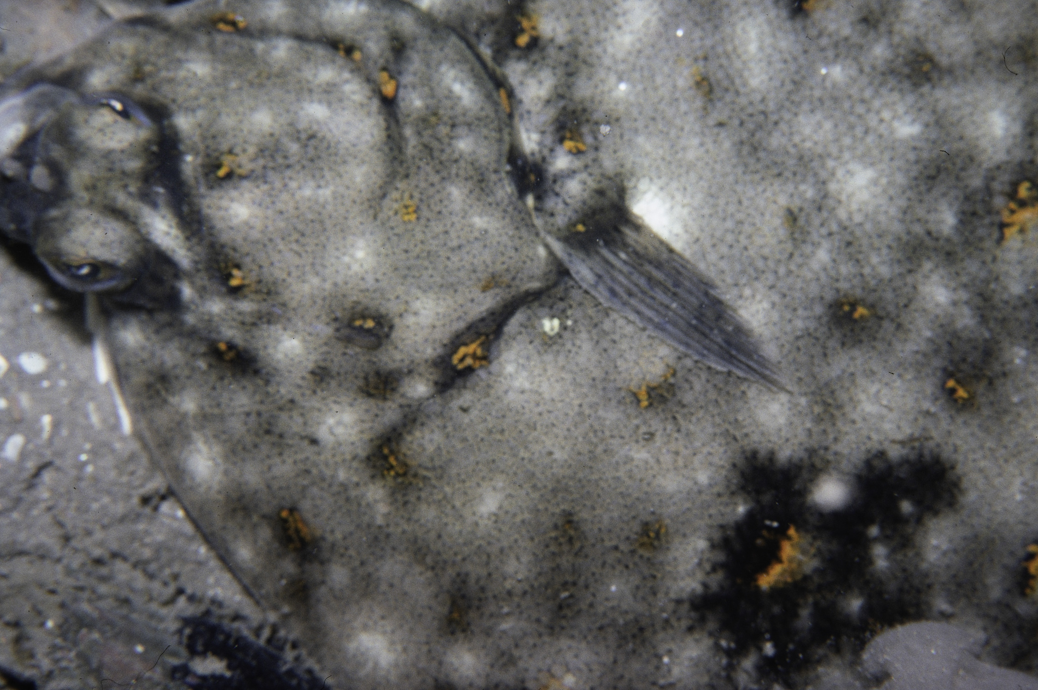
Pleuronectes platessa
No biotope record.
PORIFERA
Cliona celata P
Halichondria sp. P
CNIDARIA
Abietinaria abietina P
Nemertesia antennina P
Alcyonium digitatum P
Synarachnactis lloydii P
Cylista elegans P
Actinothoe sphyrodeta P
CRUSTACEA
Pagurus sp. P
Hyas araneus P
Hyas coarctatus P
Polybius depurator P
Carcinus maenas P
MOLLUSCA
Calliostoma zizyphinum P
Modiolus modiolus P
Pecten maximus P
Astarte sulcata P
Ensis sp. P
Venus casina P
ECHINODERMATA
Solaster endeca P
Crossaster papposus P
Asterias rubens P
Leptasterias muelleri P
Marthasterias glacialis P
Ophiothrix fragilis P
Ophiocomina nigra P
Ophiura ophiura P
Thyone fusus P
Thyone roscovita P
TUNICATA
Clavelina lepadiformis P
PISCES
Scyliorhinus canicula P
Gadus morhua P
Pollachius virens P
Callionymus lyra P
Pleuronectes platessa P
| Previous site | Next site |
