Marine Biodiversity Data Portal - NI
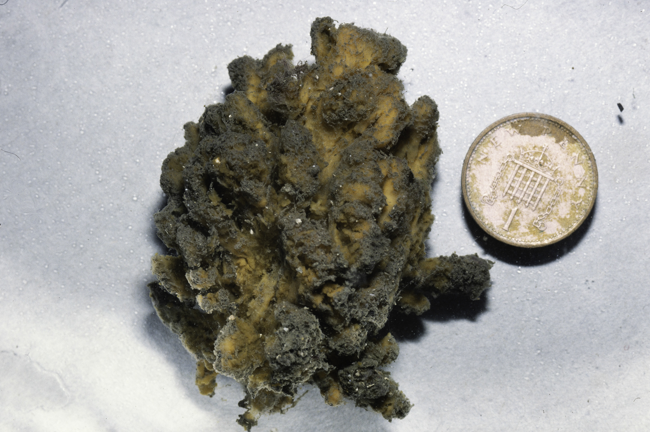
N of E end of Limestone Rock, Strangford Lough.
Survey number: 551 Event number: 19800630/04 Date: 1980-06-30 GPS: 54.42083,-5.60133. Depth: -18.0 to -19.0 m. [ View map ]
Site Description: 30-40 degree sediment slope of stone occasional rock shell and fine sand. Heavily worked 15-20m.
Species list (38 species recorded):
PORIFERA
Raspailia ramosa
Stelligera montagui
Cliona celata
Myxilla rosacea
Halichondria panicea
CNIDARIA
Abietinaria abietina
Hydrallmania falcata
Kirchenpaueria pinnata
Nemertesia antennina
Alcyonium digitatum
Synarachnactis lloydii
Capnea sanguinea
Calliactis palliata
CRUSTACEA
Pagurus bernhardus
Hyas coarctatus
Atelecyclus rotundatus
Cancer pagurus
MOLLUSCA
Steromphala cineraria
Calliostoma zizyphinum
Archidoris pseudoargus
Modiolus modiolus
Pecten maximus
Aequipecten opercularis
Polititapes rhomboides
Mya truncata
ECHINODERMATA
Antedon bifida
Solaster endeca
Crossaster papposus
Henricia oculata
Asterias rubens
Leptasterias muelleri
Marthasterias glacialis
Ophiothrix fragilis
Ophiocomina nigra
Echinus esculentus
TUNICATA
Clavelina lepadiformis
Ciona intestinalis
Corella parallelogramma
No biotope record.
PORIFERA
Raspailia ramosa P
Stelligera montagui P
Cliona celata P
Myxilla rosacea P
Halichondria panicea P
CNIDARIA
Abietinaria abietina P
Hydrallmania falcata P
Kirchenpaueria pinnata P
Nemertesia antennina P
Alcyonium digitatum P
Synarachnactis lloydii P
Capnea sanguinea P
Calliactis palliata P
CRUSTACEA
Pagurus bernhardus P
Hyas coarctatus P
Atelecyclus rotundatus P
Cancer pagurus P
MOLLUSCA
Steromphala cineraria P
Calliostoma zizyphinum P
Archidoris pseudoargus P
Modiolus modiolus P
Pecten maximus P
Aequipecten opercularis P
Polititapes rhomboides P
Mya truncata P
ECHINODERMATA
Antedon bifida P
Solaster endeca P
Crossaster papposus P
Henricia oculata P
Asterias rubens P
Leptasterias muelleri P
Marthasterias glacialis P
Ophiothrix fragilis P
Ophiocomina nigra P
Echinus esculentus P
TUNICATA
Clavelina lepadiformis P
Ciona intestinalis P
Corella parallelogramma P
| Previous site | Next site |
