Marine Biodiversity Data Portal - NI
Ridge, N of The Skerries, Portrush.
Survey number: 550 Event number: 19850726/02 Date: 1985-07-26 GPS: 55.27267,-6.61383. Depth: -43.0 to -44.0 m. [ View map ]
Site Description: Vertical cliff with shallow slope at top (35m). Interesting site
Species list (48 species recorded):
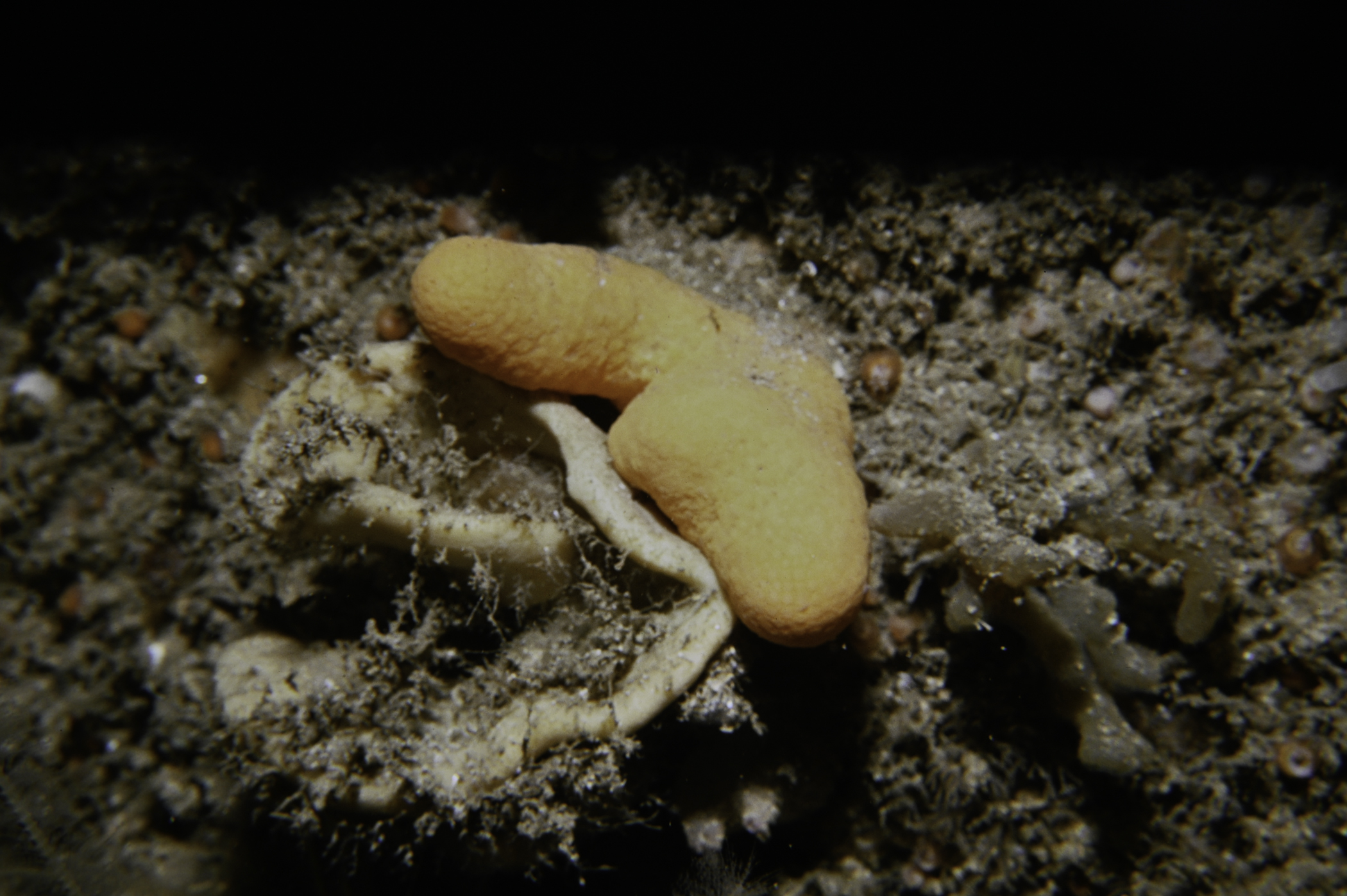
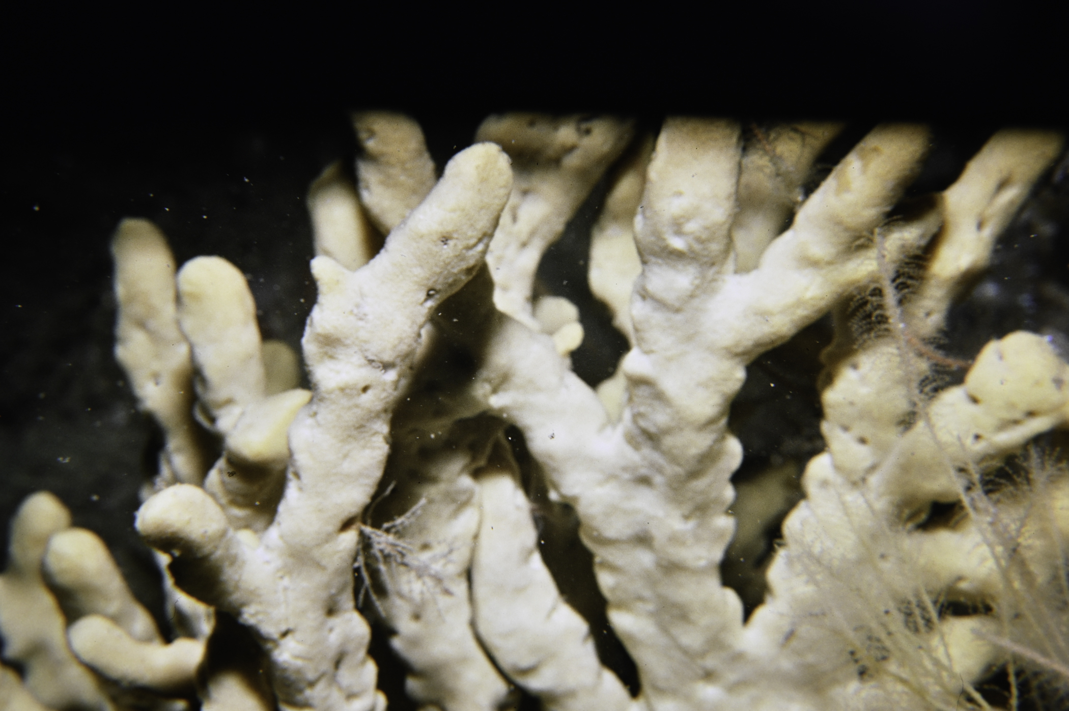
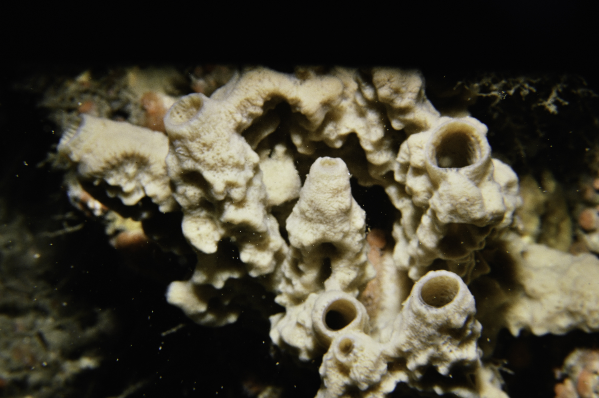
PORIFERA
Dysidea fragilis
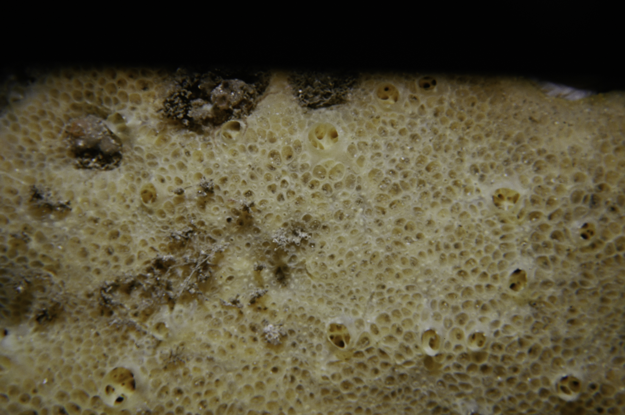
Pachymatisma johnstonia
Axinella dissimilis
Axinella infundibuliformis
Raspailia ramosa
Stelligera stuposa
Polymastia boletiformis
Polymastia penicillus
Phorbas fictitius
Suberites ficus
Haliclona viscosa
CNIDARIA
Tubularia indivisa
Halecium halecinum
Abietinaria abietina
Diphasia rosacea
Sertularia argentea
Nemertesia antennina
Alcyonium digitatum
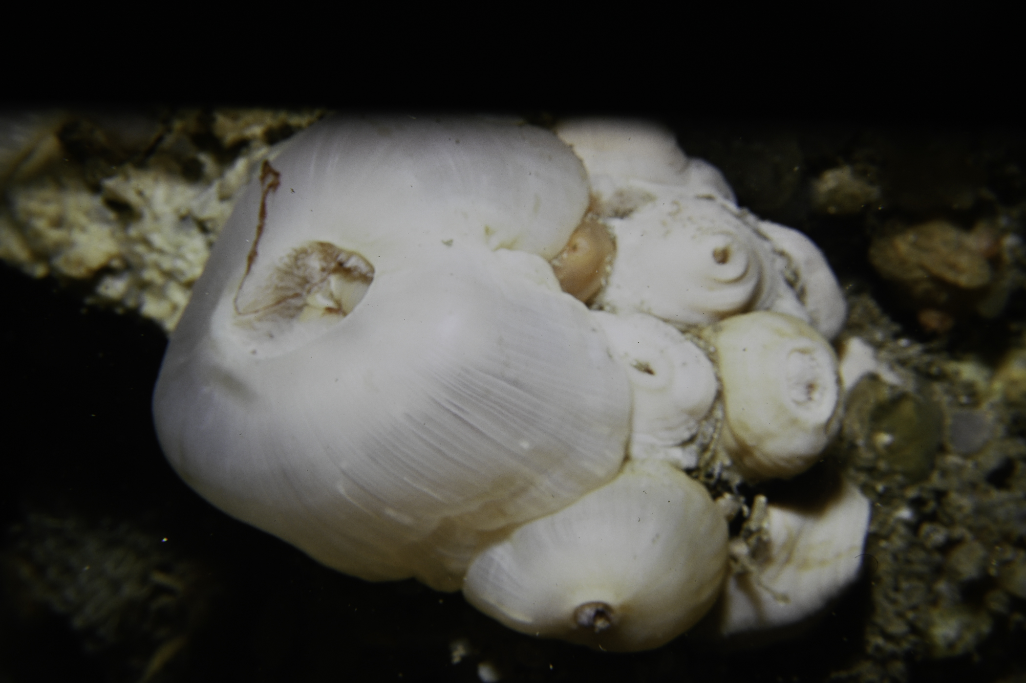
Metridium senile
Cylista elegans
Actinothoe sphyrodeta
Caryophyllia smithii
MOLLUSCA
Calliostoma zizyphinum
Diaphorodoris luteocincta
Acanthodoris pilosa
Polycera faeroensis
Antiopella cristata
BRYOZOA
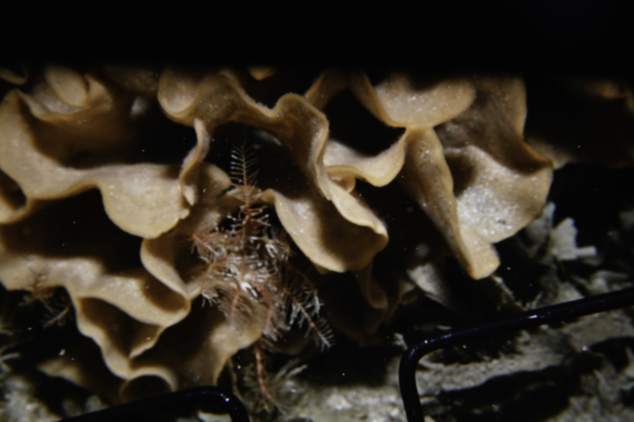
Alcyonidium diaphanum
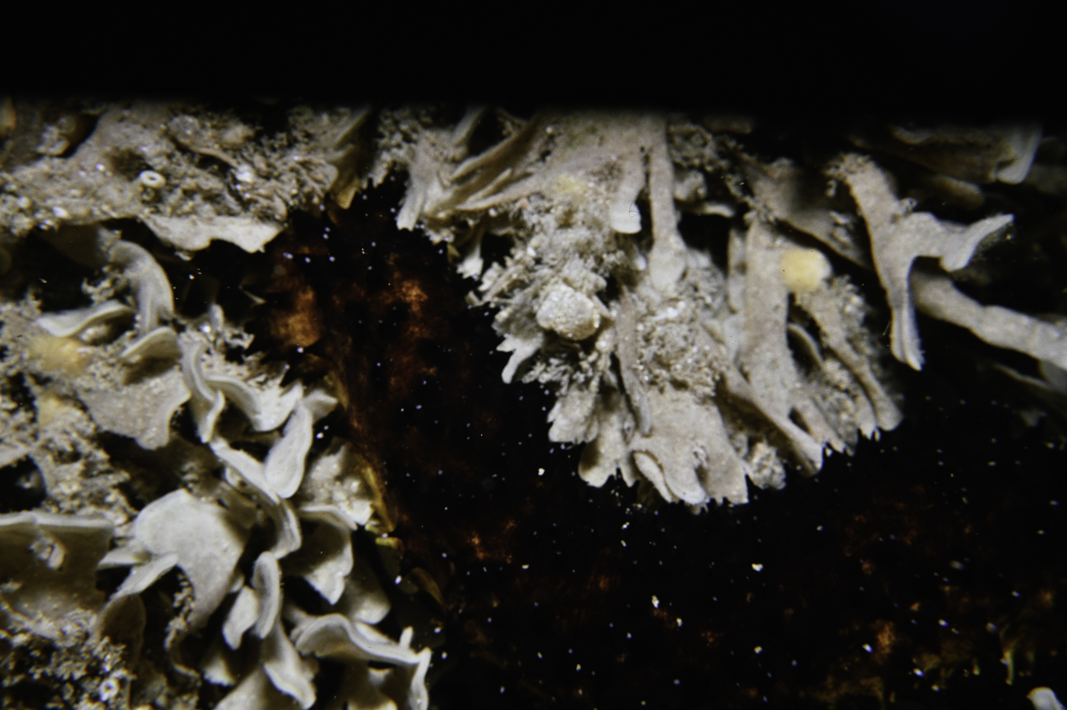
Flustra foliacea
Securiflustra securifrons
Bugulina flabellata
Bicellariella ciliata
Cellaria fistulosa
Pentapora foliacea
ECHINODERMATA
Antedon bifida
Crossaster papposus
Henricia oculata
Asterias rubens
Echinus esculentus
Holothuria forskali
TUNICATA
Clavelina lepadiformis
Didemnum maculosum
Polycarpa pomaria
Botryllus schlosseri
Botrylloides leachi
PISCES
Conger conger
Ctenolabrus rupestris
Labrus bergylta
No biotope record.
PORIFERA
Dysidea fragilis P
Pachymatisma johnstonia P
Axinella dissimilis P
Axinella infundibuliformis P
Raspailia ramosa P
Stelligera stuposa P
Polymastia boletiformis P
Polymastia penicillus P
Phorbas fictitius P
Suberites ficus P
Haliclona viscosa P
CNIDARIA
Tubularia indivisa P
Halecium halecinum P
Abietinaria abietina P
Diphasia rosacea P
Sertularia argentea P
Nemertesia antennina P
Alcyonium digitatum P
Metridium senile P
Cylista elegans P
Actinothoe sphyrodeta P
Caryophyllia smithii P
MOLLUSCA
Calliostoma zizyphinum P
Diaphorodoris luteocincta P
Acanthodoris pilosa P
Polycera faeroensis P
Antiopella cristata P
BRYOZOA
Alcyonidium diaphanum P
Flustra foliacea P
Securiflustra securifrons P
Bugulina flabellata P
Bicellariella ciliata P
Cellaria fistulosa P
Pentapora foliacea P
ECHINODERMATA
Antedon bifida P
Crossaster papposus P
Henricia oculata P
Asterias rubens P
Echinus esculentus P
Holothuria forskali P
TUNICATA
Clavelina lepadiformis P
Didemnum maculosum P
Polycarpa pomaria P
Botryllus schlosseri P
Botrylloides leachi P
PISCES
Conger conger P
Ctenolabrus rupestris P
Labrus bergylta P
| Previous site | Next site |
