Marine Biodiversity Data Portal - NI
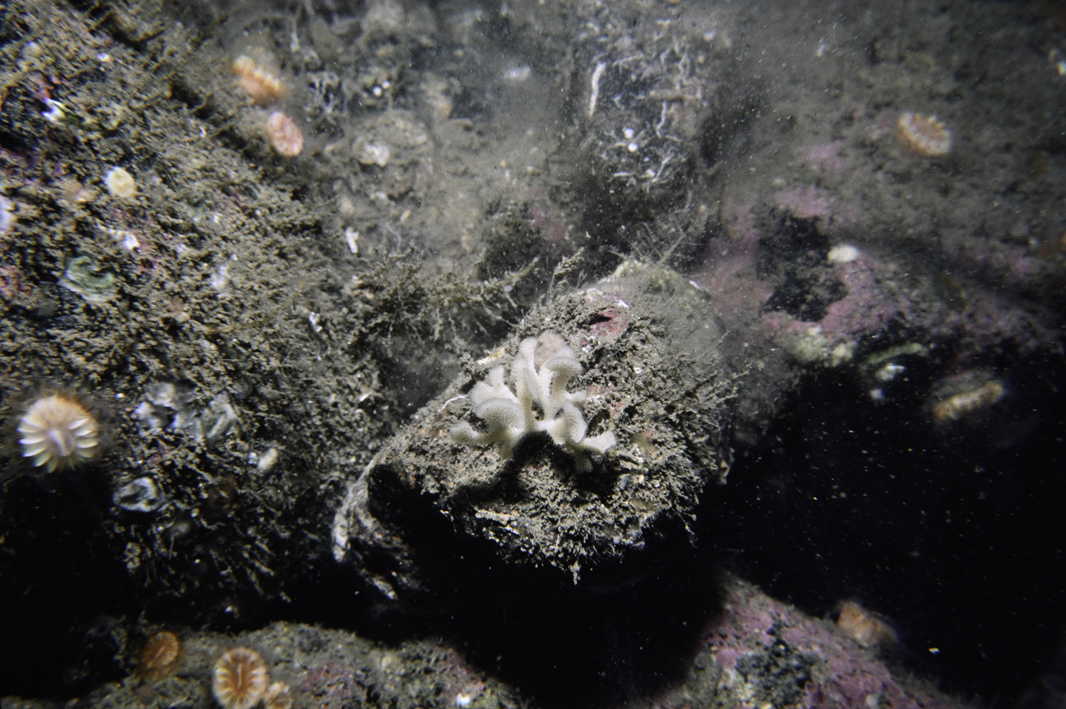
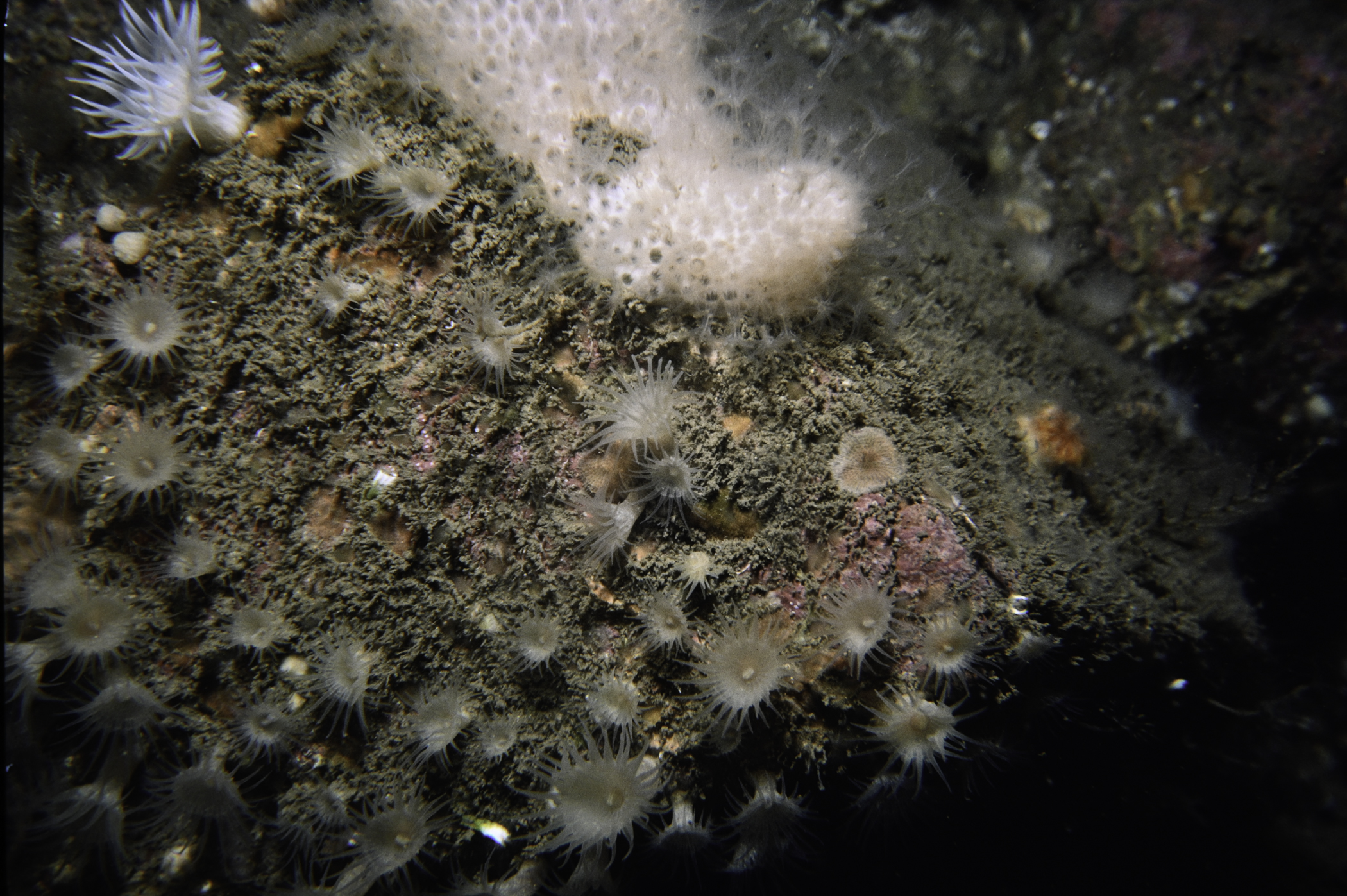
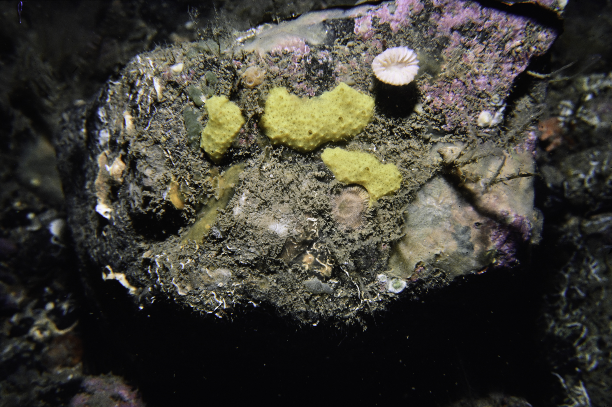
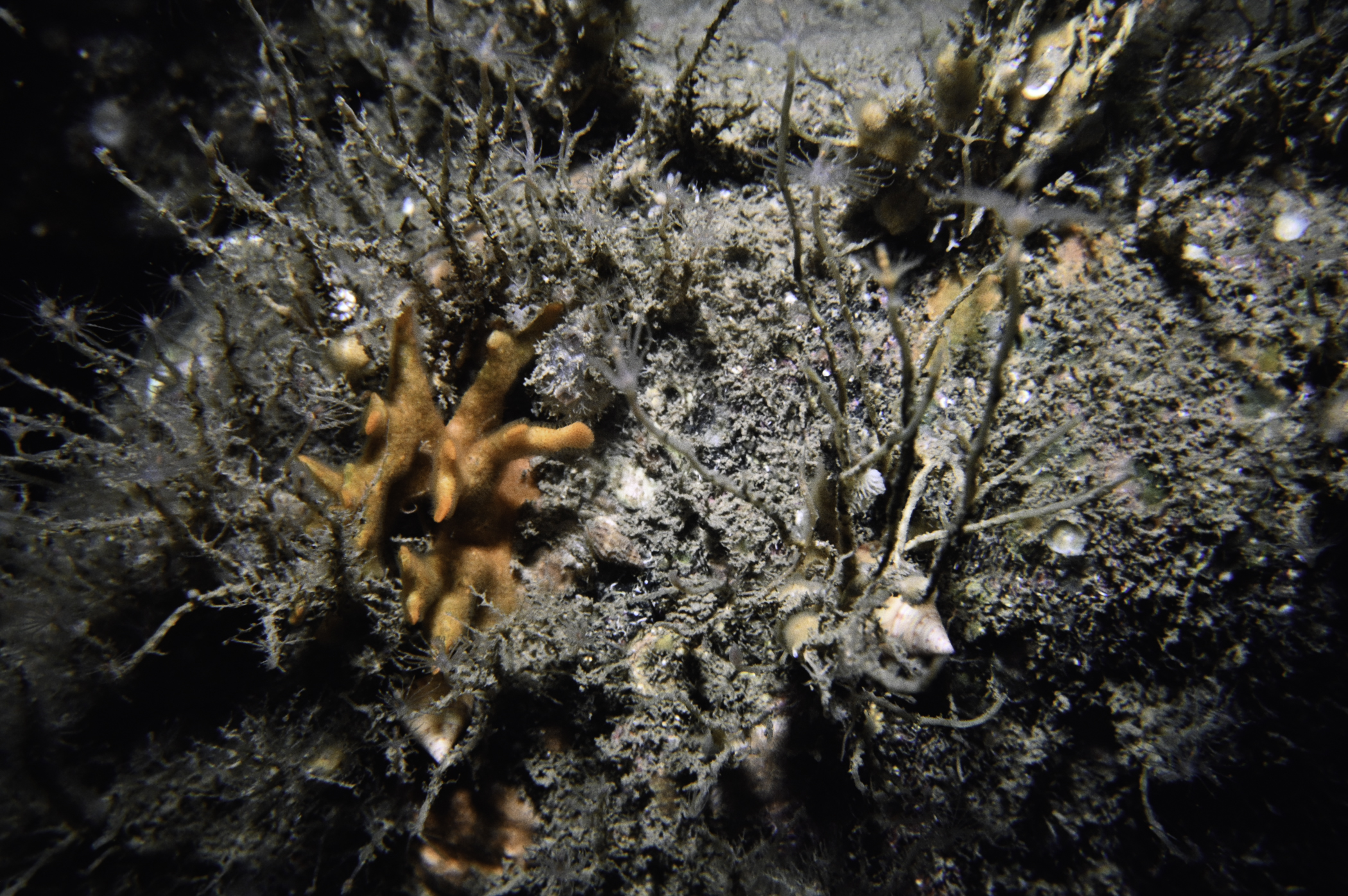
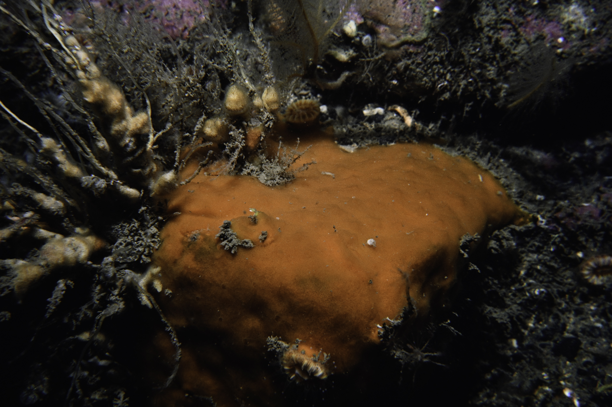
SE Altacarry Head, Rathlin Island.
Survey number: 550 Event number: 19850628/01 Date: 1985-06-28 GPS: 55.29567,-6.16650. Depth: -35.0 to -36.0 m. [ View map ]
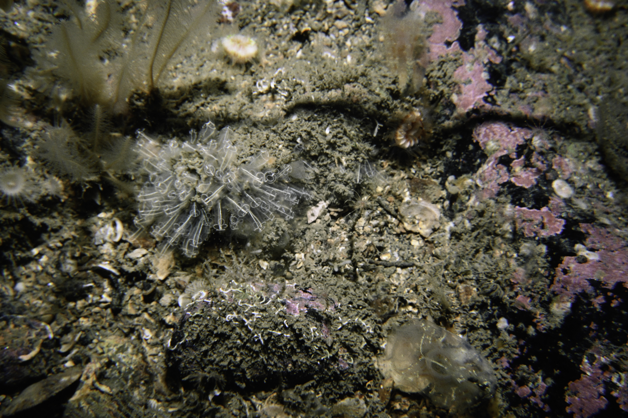
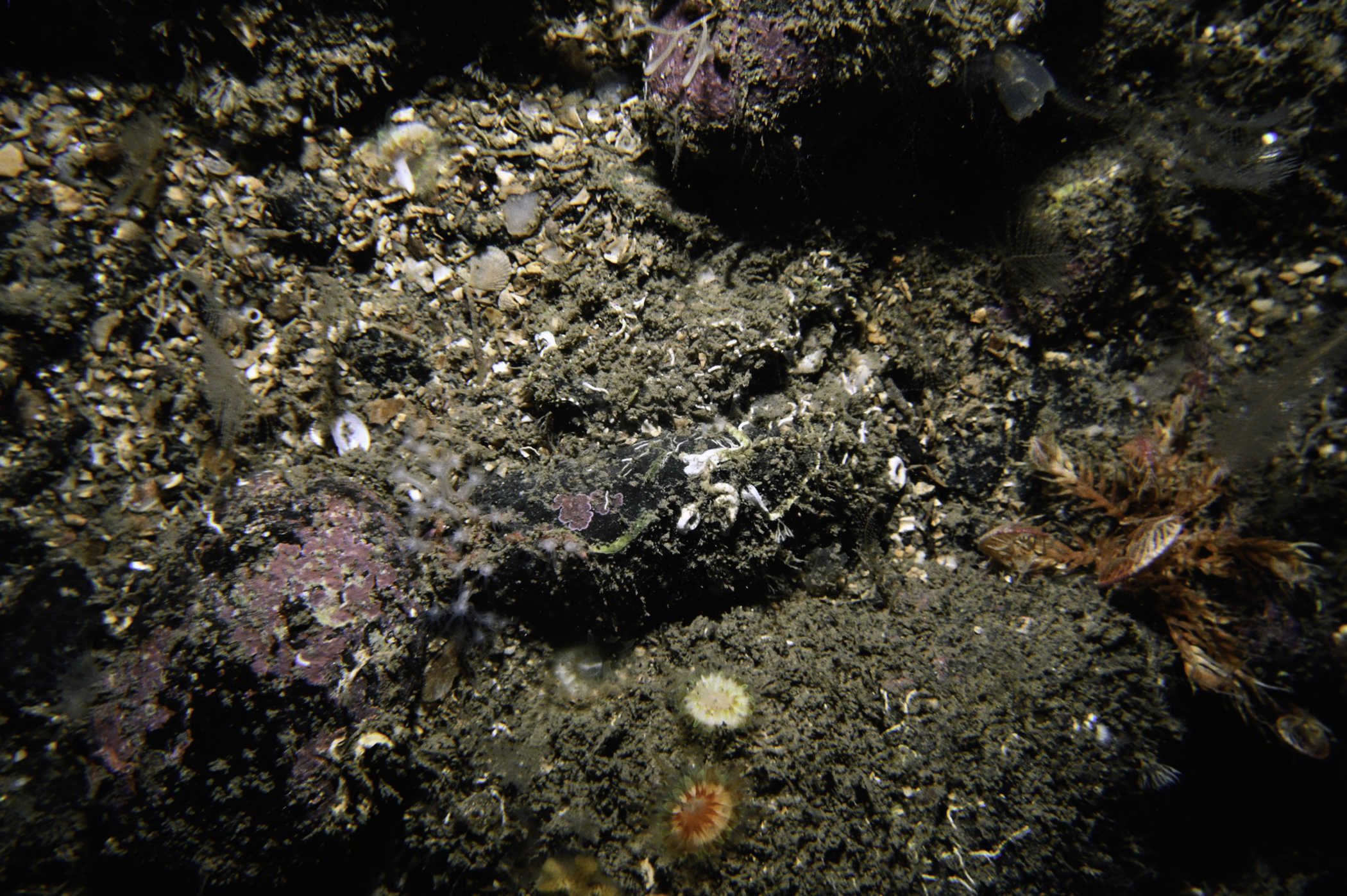
Site Description: Slope of small boulders and cobble fairly sparsely colonized in lee of tide.
Species list (55 species recorded):
PORIFERA
Sycon ciliatum
Aplysilla rosea
Aplysilla sulfurea
Dysidea fragilis
Axinella infundibuliformis
Iophon hyndmani
Hemimycale columella
Hymedesmia paupertas
Clathria sp.
Mycale rotalis
Myxilla incrustans
Suberites carnosus
Haliclona urceolus
CNIDARIA
Tubularia indivisa
Halecium halecinum
Abietinaria abietina
Halopteris catharina
Nemertesia antennina
Aglaophenia tubulifera
Sarcodictyon catenatum
Alcyonium digitatum
Epizoanthus couchii
Parazoanthus anguicomus
Metridium senile
Actinothoe sphyrodeta
Caryophyllia smithii
ANNELIDA
Filograna implexa
CRUSTACEA
Galathea nexa
Munida rugosa
Cancer pagurus
MOLLUSCA
Calliostoma zizyphinum
Polycera faeroensis
BRACHIOPODA
Terebratulina retusa
BRYOZOA
Securiflustra securifrons
Caberea ellisii
Porella compressa
Palmiskenea skenei
Parasmittina trispinosa
Schizomavella linearis
Turbicellepora avicularis
Omalosecosa ramulosa
ECHINODERMATA
Antedon petasus
Porania pulvillus
Crossaster papposus
Henricia oculata
Asterias rubens
Ophiothrix fragilis
Echinus esculentus
TUNICATA
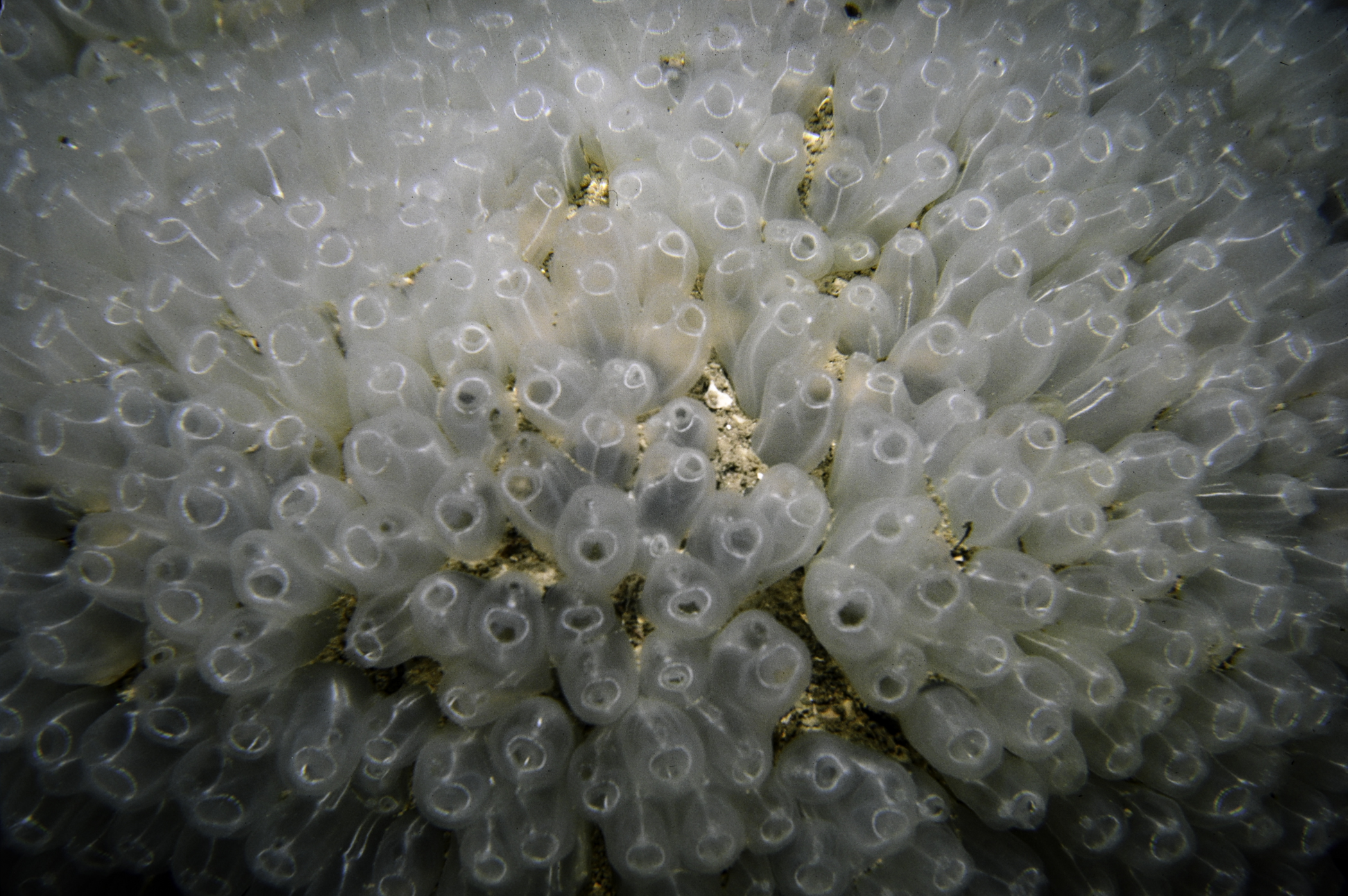
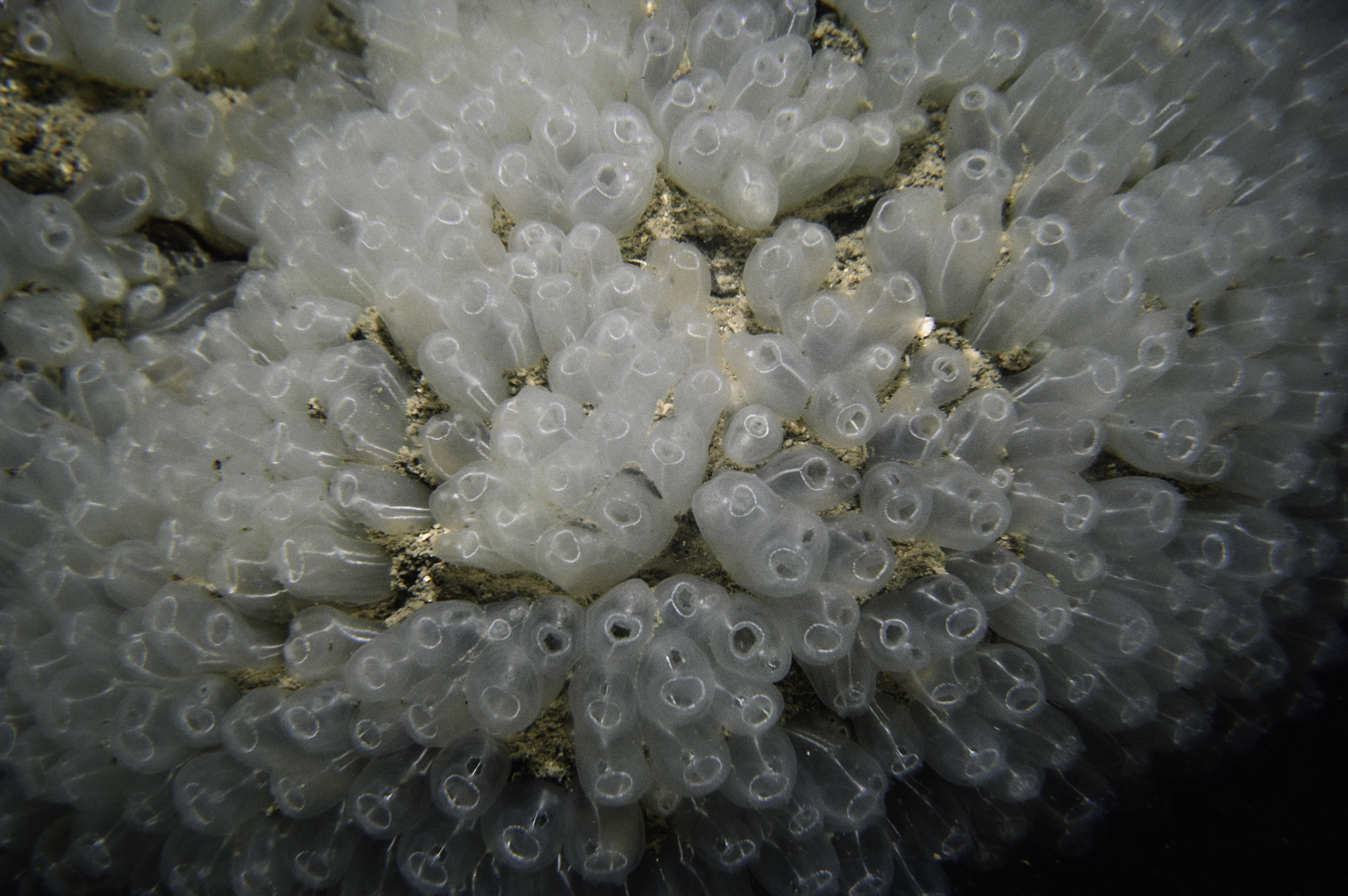
Clavelina lepadiformis
Diazona violacea
Corella parallelogramma
Ascidia mentula
Polycarpa pomaria
PISCES
Pholis gunnellus
RHODOPHYTA
Lithophyllum sp.
No biotope record.
PORIFERA
Sycon ciliatum P
Aplysilla rosea P
Aplysilla sulfurea P
Dysidea fragilis P
Axinella infundibuliformis P
Iophon hyndmani P
Hemimycale columella P
Hymedesmia paupertas P
Clathria sp. P
Mycale rotalis P
Myxilla incrustans P
Suberites carnosus P
Haliclona urceolus P
CNIDARIA
Tubularia indivisa P
Halecium halecinum P
Abietinaria abietina P
Halopteris catharina P
Nemertesia antennina P
Aglaophenia tubulifera P
Sarcodictyon catenatum P
Alcyonium digitatum P
Epizoanthus couchii P
Parazoanthus anguicomus P
Metridium senile P
Actinothoe sphyrodeta P
Caryophyllia smithii P
ANNELIDA
Filograna implexa P
CRUSTACEA
Galathea nexa P
Munida rugosa P
Cancer pagurus P
MOLLUSCA
Calliostoma zizyphinum P
Polycera faeroensis P
BRACHIOPODA
Terebratulina retusa P
BRYOZOA
Securiflustra securifrons P
Caberea ellisii P
Porella compressa P
Palmiskenea skenei P
Parasmittina trispinosa P
Schizomavella linearis P
Turbicellepora avicularis P
Omalosecosa ramulosa P
ECHINODERMATA
Antedon petasus P
Porania pulvillus P
Crossaster papposus P
Henricia oculata P
Asterias rubens P
Ophiothrix fragilis P
Echinus esculentus P
TUNICATA
Clavelina lepadiformis P
Diazona violacea P
Corella parallelogramma P
Ascidia mentula P
Polycarpa pomaria P
PISCES
Pholis gunnellus P
RHODOPHYTA
Lithophyllum sp. P
| Previous site | Next site |
