Marine Biodiversity Data Portal - NI
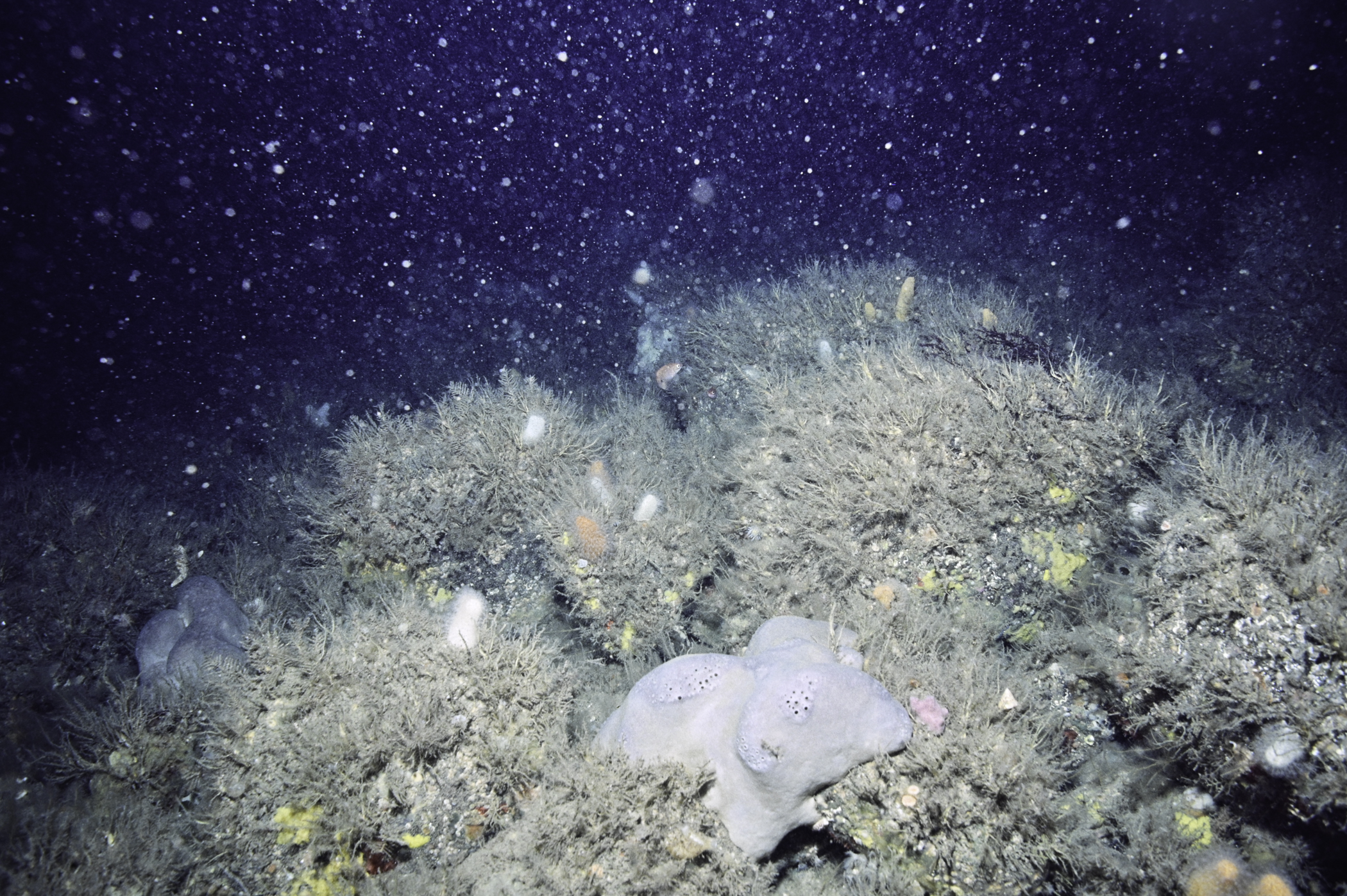
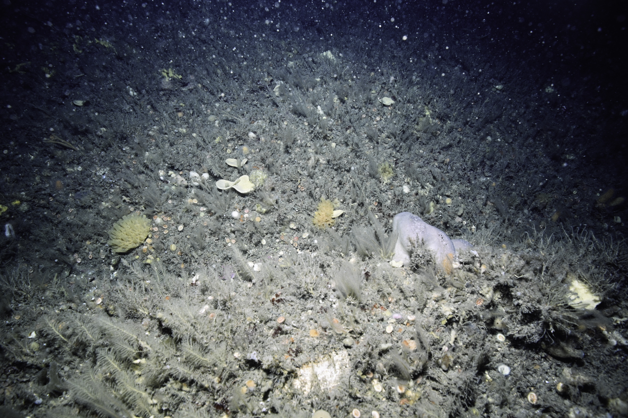
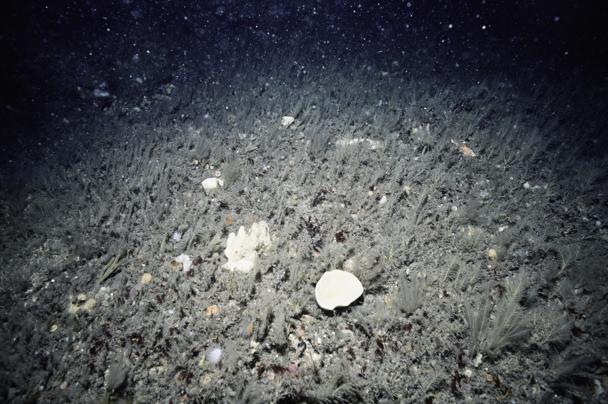
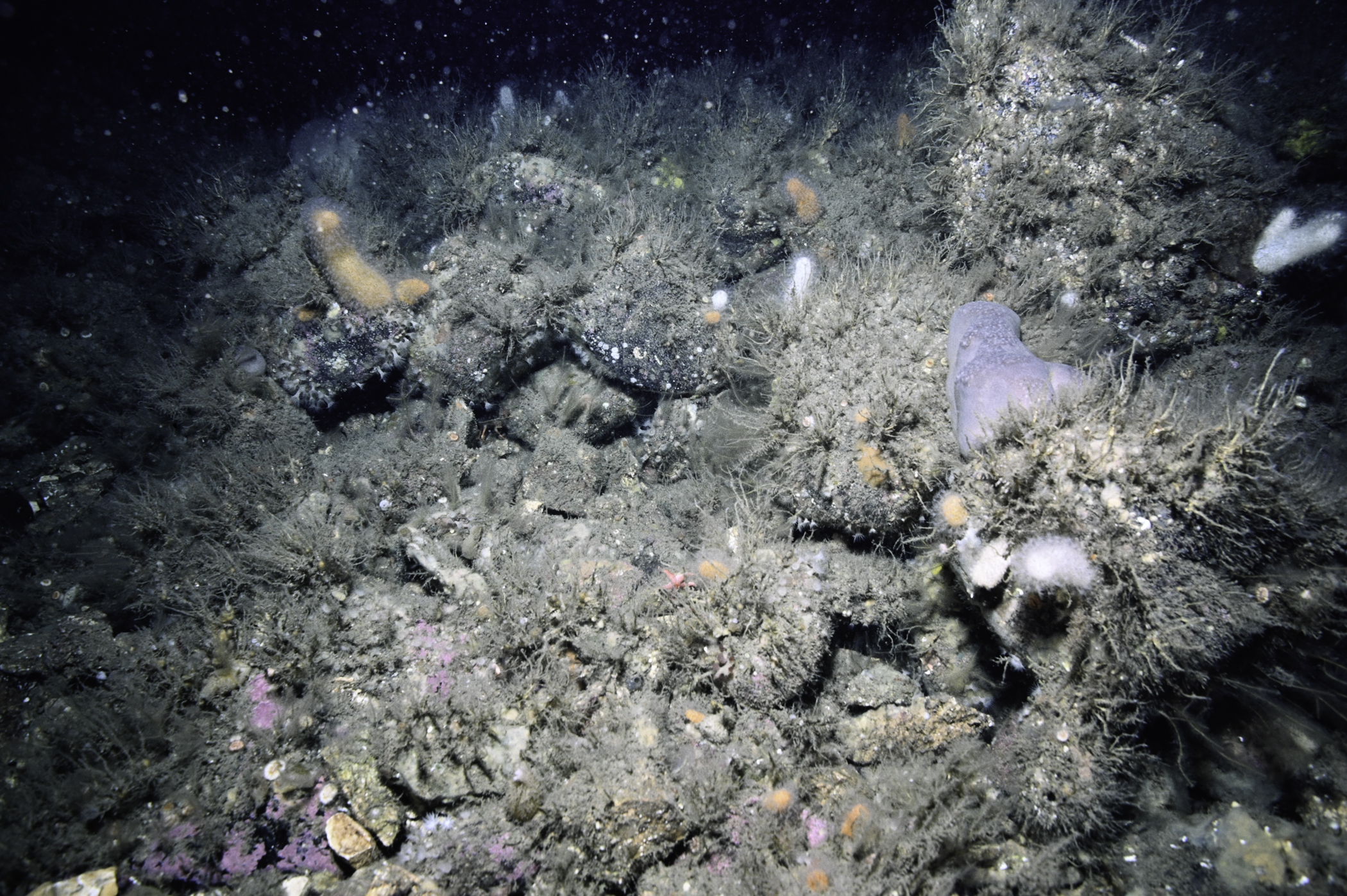
E of Castle Head, Rathlin Island.
Survey number: 550 Event number: 19850625/01 Date: 1985-06-25 GPS: 55.30783,-6.18650. Depth: -31.0 to -32.0 m. [ View map ]
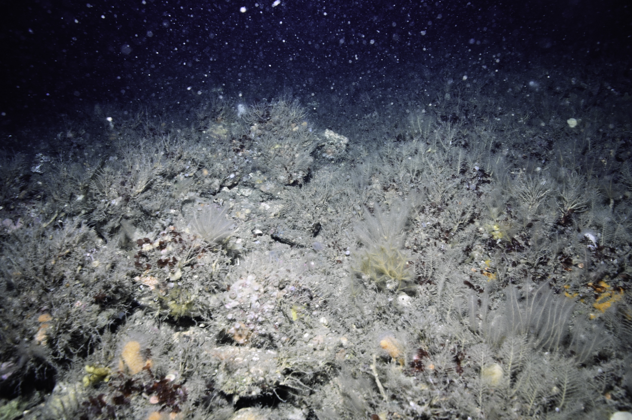
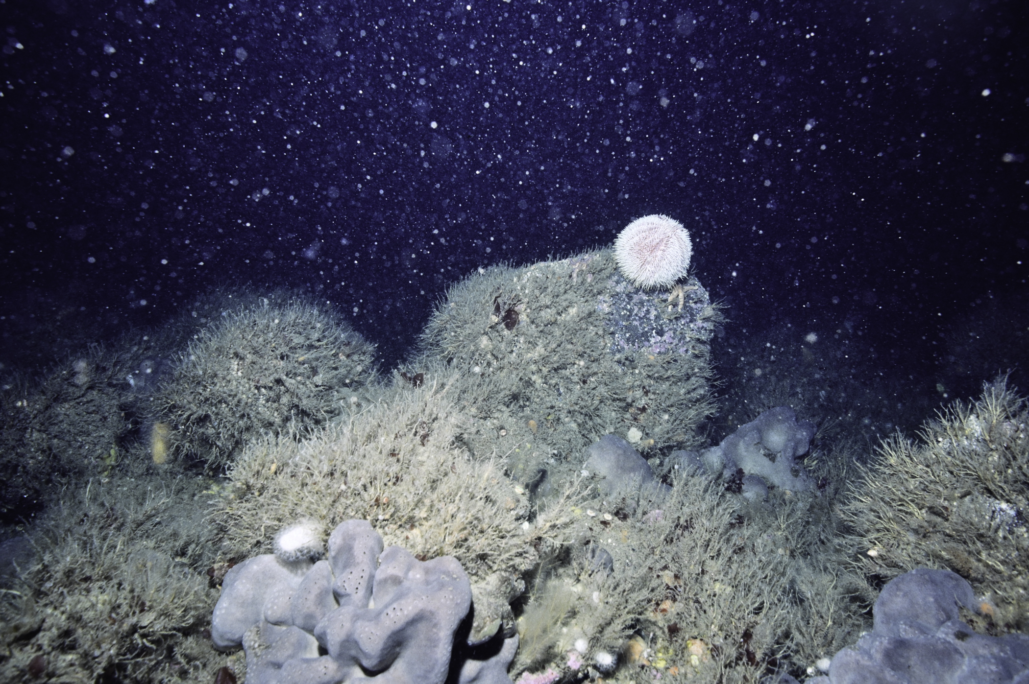
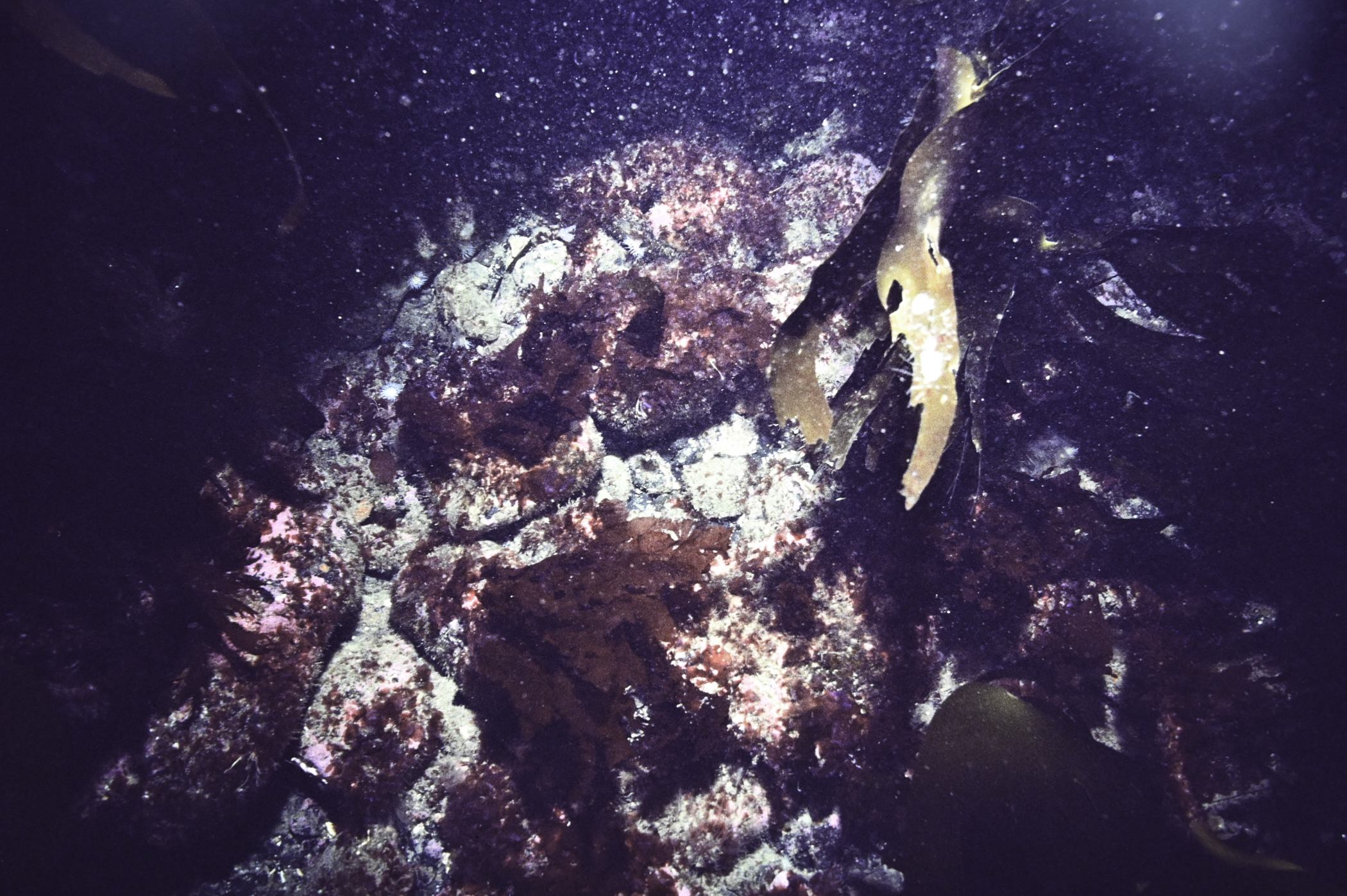
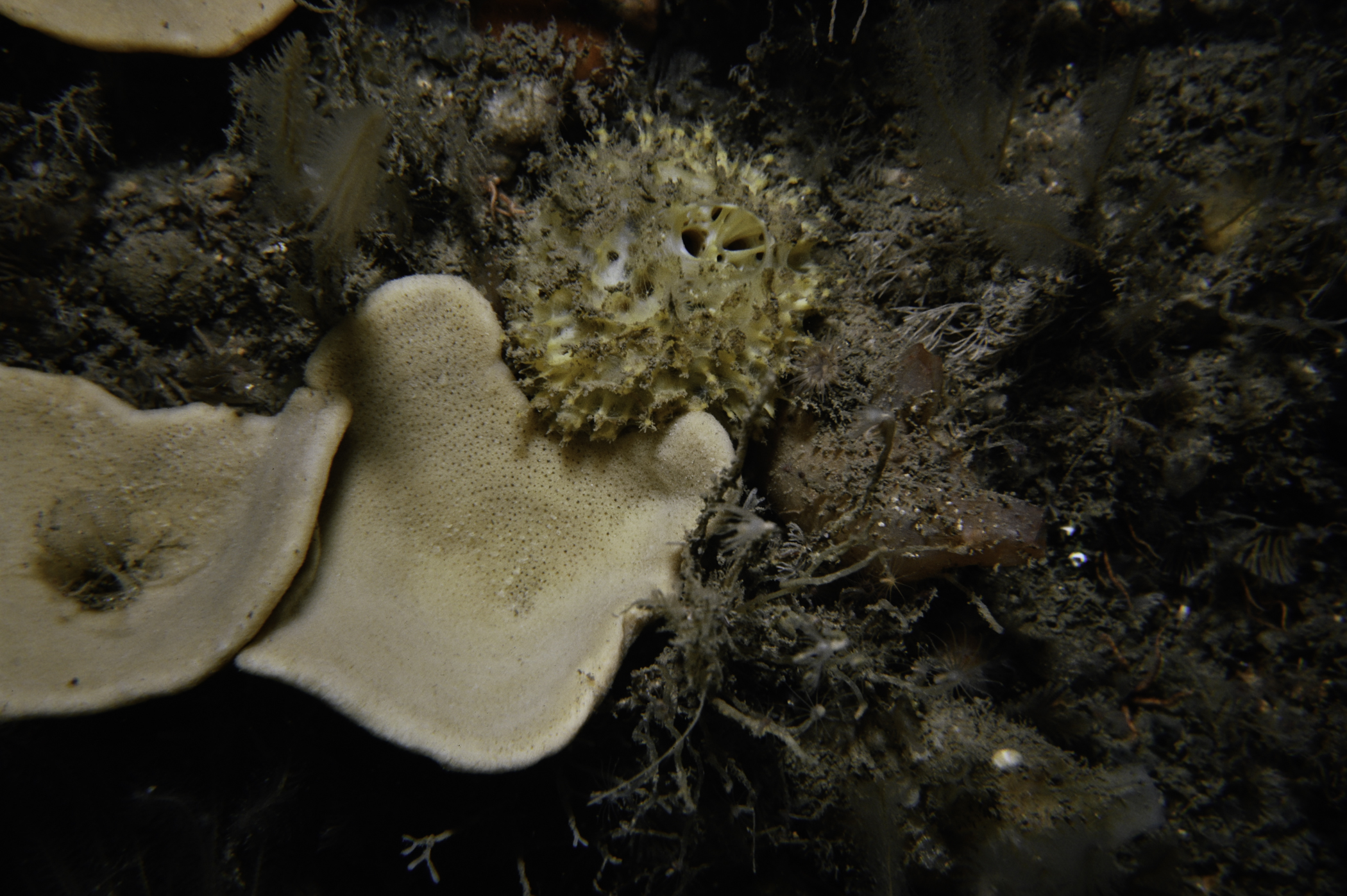
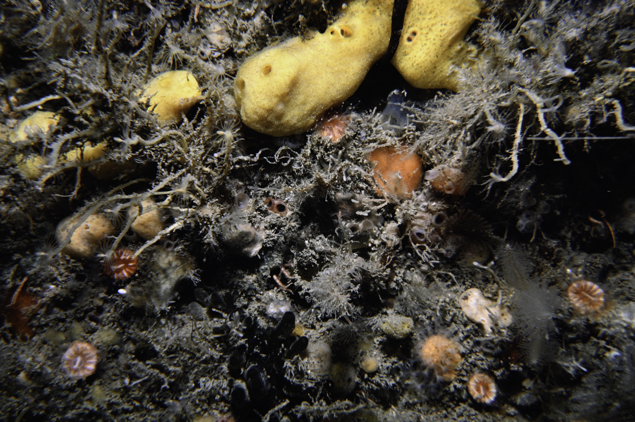
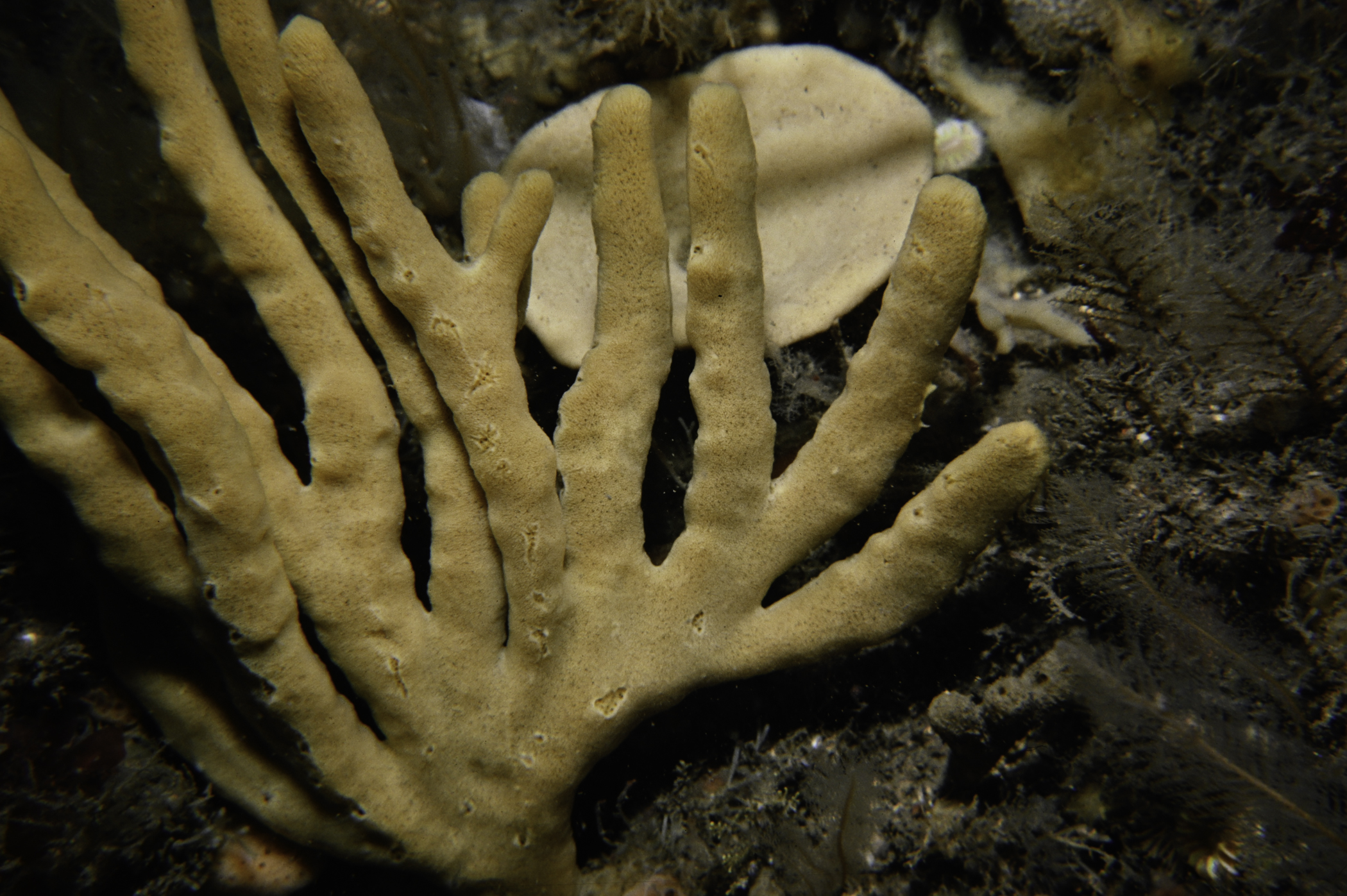
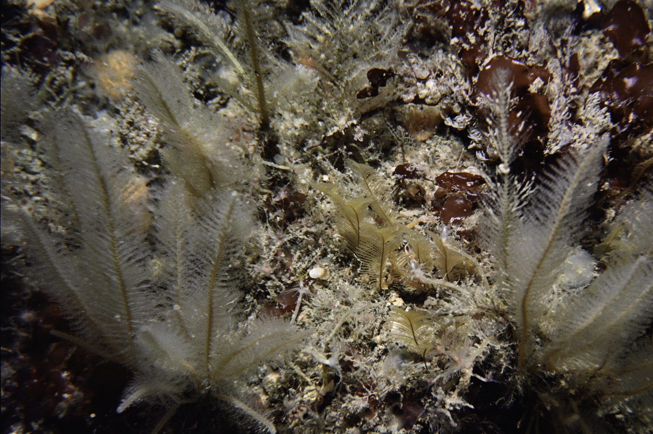
Site Description: Flat limestone bedrock with a rich cover of sponge and hydroids. Areas of small boulders and cobbles. Red algae start at 32m.
Species list (60 species recorded):
PORIFERA
Sycon ciliatum
Aplysilla rosea
Aplysilla sulfurea
Dysidea fragilis
Pachymatisma johnstonia
Dercitus bucklandi
Axinella dissimilis
Axinella infundibuliformis
Raspailia hispida
Raspailia ramosa
Polymastia boletiformis
Polymastia penicillus
Tethya citrina
Cliona celata
Iophonopsis nigricans
Amphilectus fucorum
Hemimycale columella
Hymedesmia paupertas
Antho involvens
Myxilla incrustans
Suberites carnosus
CNIDARIA
Tubularia indivisa
Halecium halecinum
Abietinaria abietina
Sertularella gayi
Sertularia argentea
Halopteris catharina
Kirchenpaueria pinnata
Nemertesia antennina
Nemertesia ramosa
Aglaophenia tubulifera
Alcyonium digitatum
Parazoanthus anguicomus
Actinothoe sphyrodeta
Caryophyllia smithii
ANNELIDA
Bispira volutacornis
Filograna implexa
CRUSTACEA
Balanus crenatus
Munida rugosa
Cancer pagurus
Necora puber
MOLLUSCA
Calliostoma zizyphinum
BRYOZOA
Crisia denticulata
Alcyonidium diaphanum
Caberea ellisii
Cellaria fistulosa
Porella compressa
Parasmittina trispinosa
Schizomavella linearis
ECHINODERMATA
Henricia oculata
Asterias rubens
Ophiactis balli
Echinus esculentus
TUNICATA
Polyclinum aurantium
Didemnum maculosum
Corella parallelogramma
Ascidia mentula
Polycarpa pomaria
PISCES
Ctenolabrus rupestris
Pholis gunnellus
No biotope record.
PORIFERA
Sycon ciliatum P
Aplysilla rosea P
Aplysilla sulfurea P
Dysidea fragilis P
Pachymatisma johnstonia P
Dercitus bucklandi P
Axinella dissimilis P
Axinella infundibuliformis P
Raspailia hispida P
Raspailia ramosa P
Polymastia boletiformis P
Polymastia penicillus P
Tethya citrina P
Cliona celata P
Iophonopsis nigricans P
Amphilectus fucorum P
Hemimycale columella P
Hymedesmia paupertas P
Antho involvens P
Myxilla incrustans P
Suberites carnosus P
CNIDARIA
Tubularia indivisa P
Halecium halecinum P
Abietinaria abietina P
Sertularella gayi P
Sertularia argentea P
Halopteris catharina P
Kirchenpaueria pinnata P
Nemertesia antennina P
Nemertesia ramosa P
Aglaophenia tubulifera P
Alcyonium digitatum P
Parazoanthus anguicomus P
Actinothoe sphyrodeta P
Caryophyllia smithii P
ANNELIDA
Bispira volutacornis P
Filograna implexa P
CRUSTACEA
Balanus crenatus P
Munida rugosa P
Cancer pagurus P
Necora puber P
MOLLUSCA
Calliostoma zizyphinum P
BRYOZOA
Crisia denticulata P
Alcyonidium diaphanum P
Caberea ellisii P
Cellaria fistulosa P
Porella compressa P
Parasmittina trispinosa P
Schizomavella linearis P
ECHINODERMATA
Henricia oculata P
Asterias rubens P
Ophiactis balli P
Echinus esculentus P
TUNICATA
Polyclinum aurantium P
Didemnum maculosum P
Corella parallelogramma P
Ascidia mentula P
Polycarpa pomaria P
PISCES
Ctenolabrus rupestris P
Pholis gunnellus P
| Previous site | Next site |
