Marine Biodiversity Data Portal - NI
Carrickmannanon Rock, Ballycastle.
Survey number: 550 Event number: 19850604/02 Date: 1985-06-04 GPS: 55.23450,-6.28167. Depth: -29.0 to -30.0 m. [ View map ]
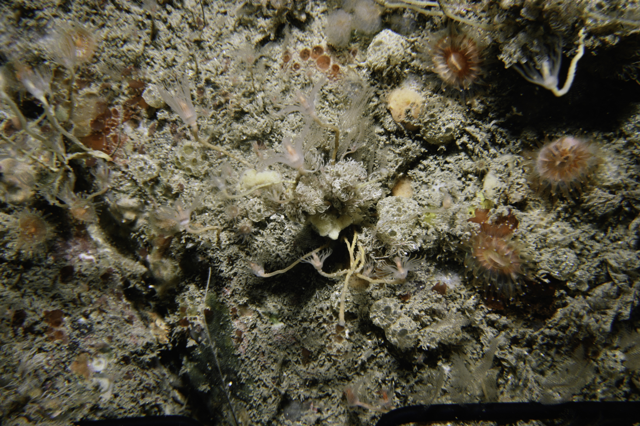
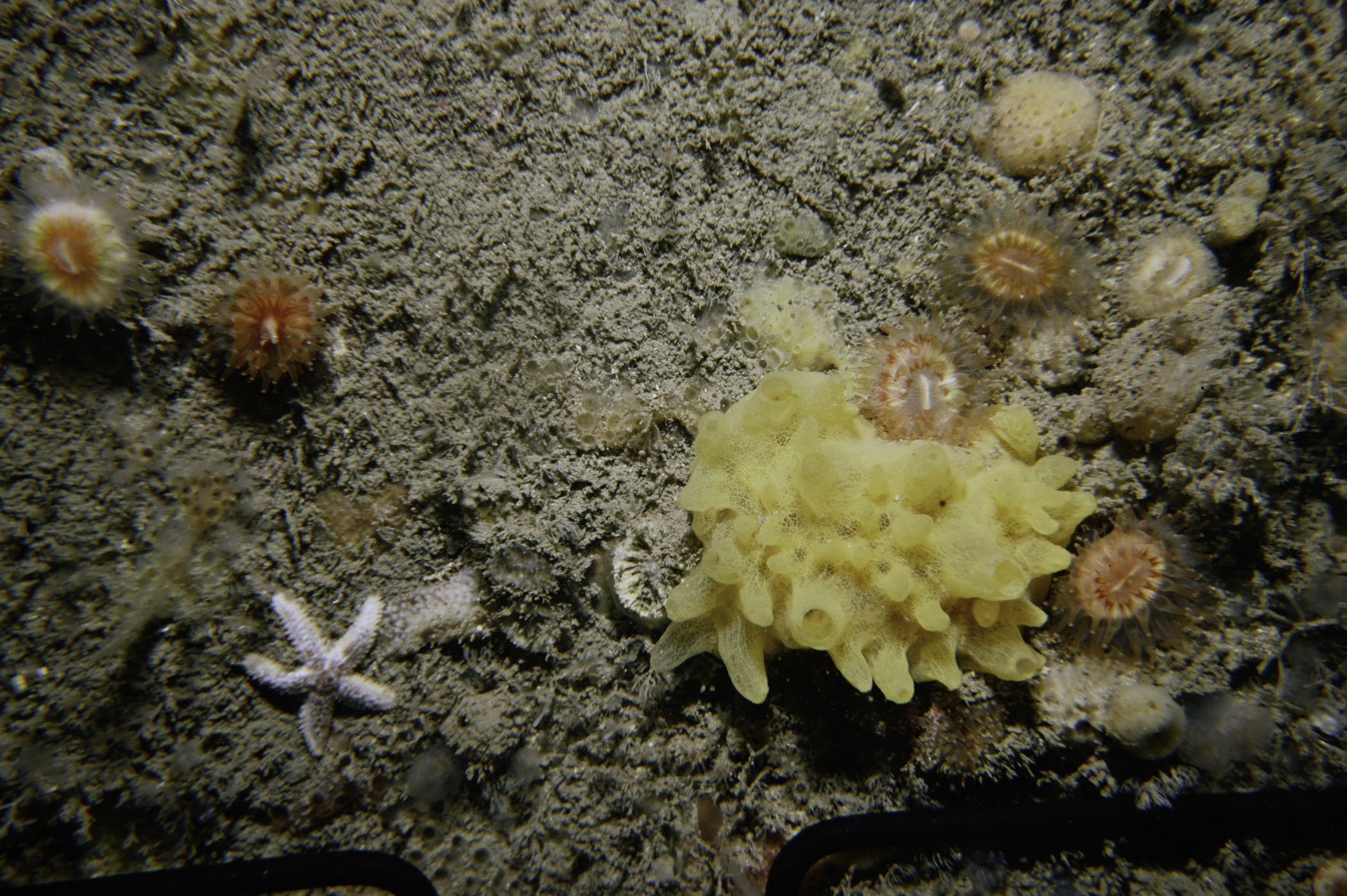
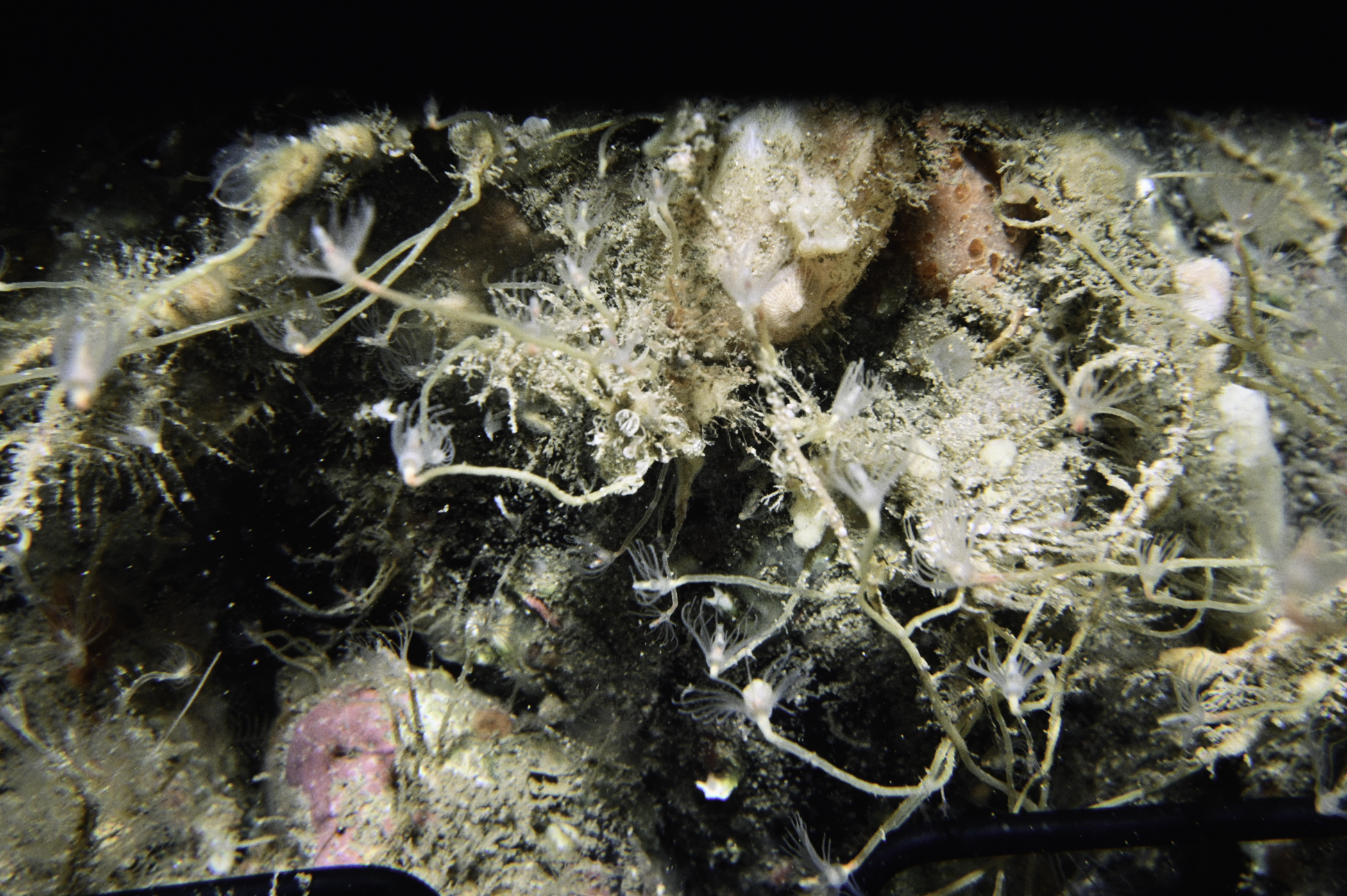
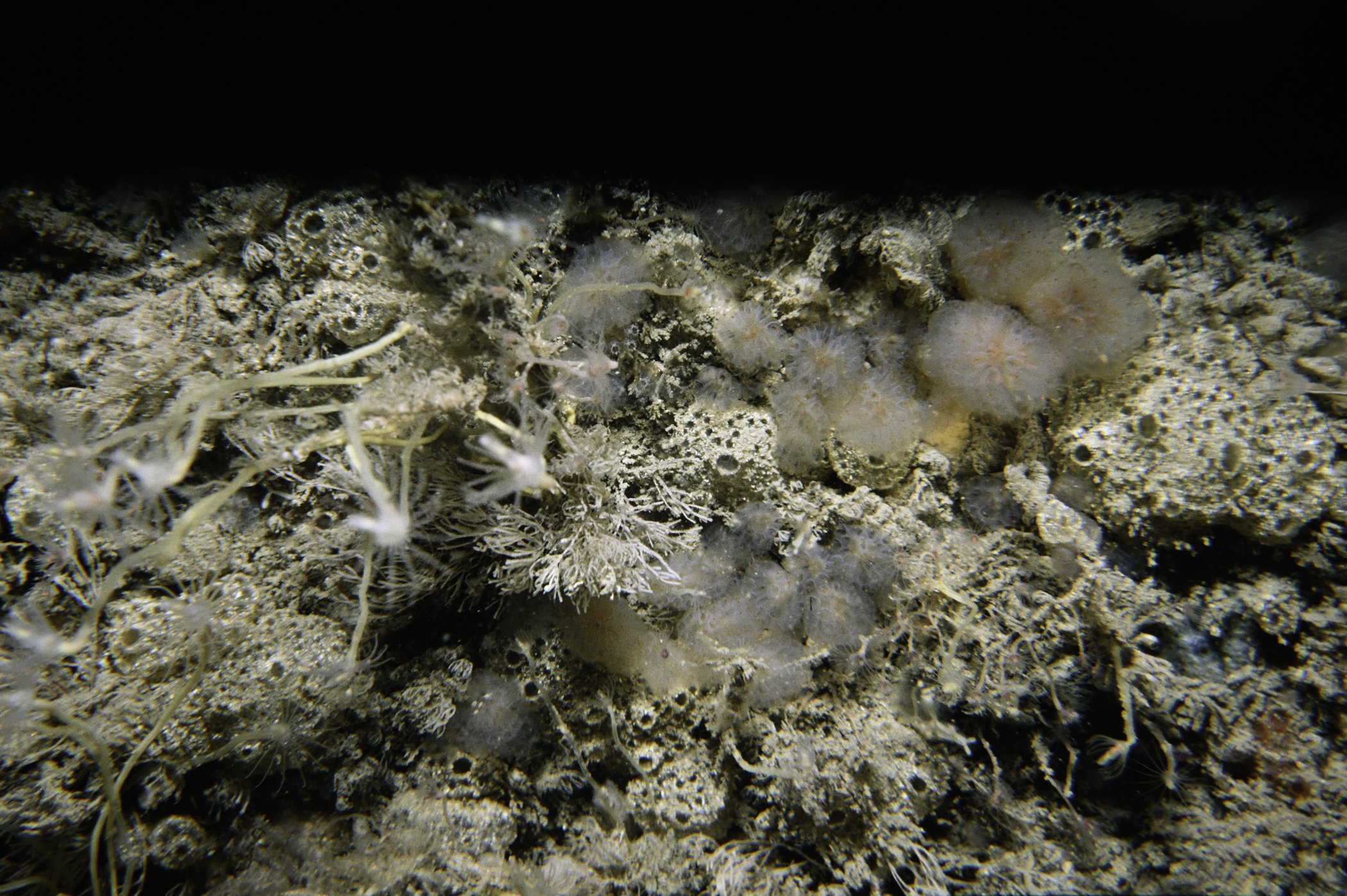
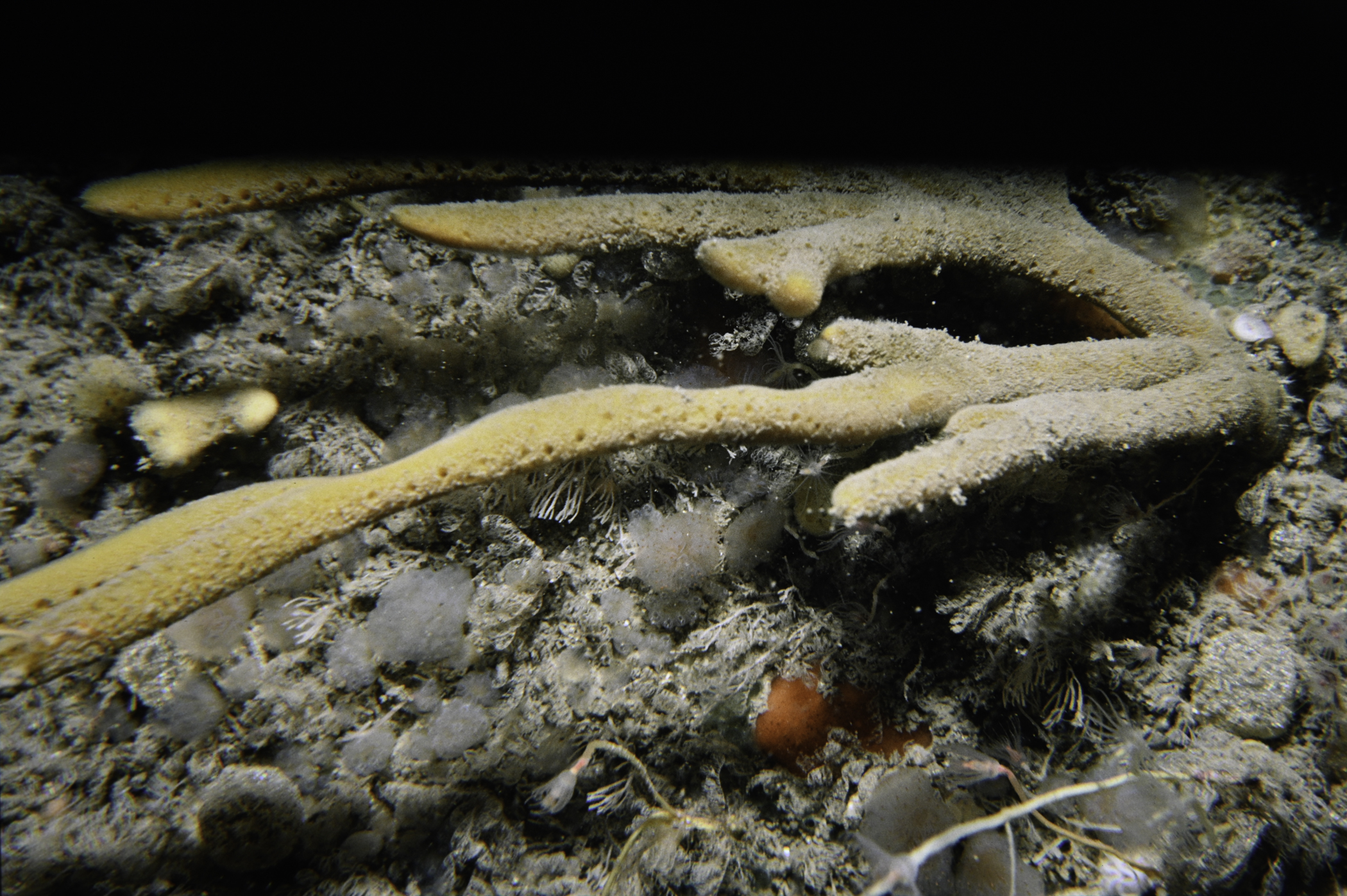
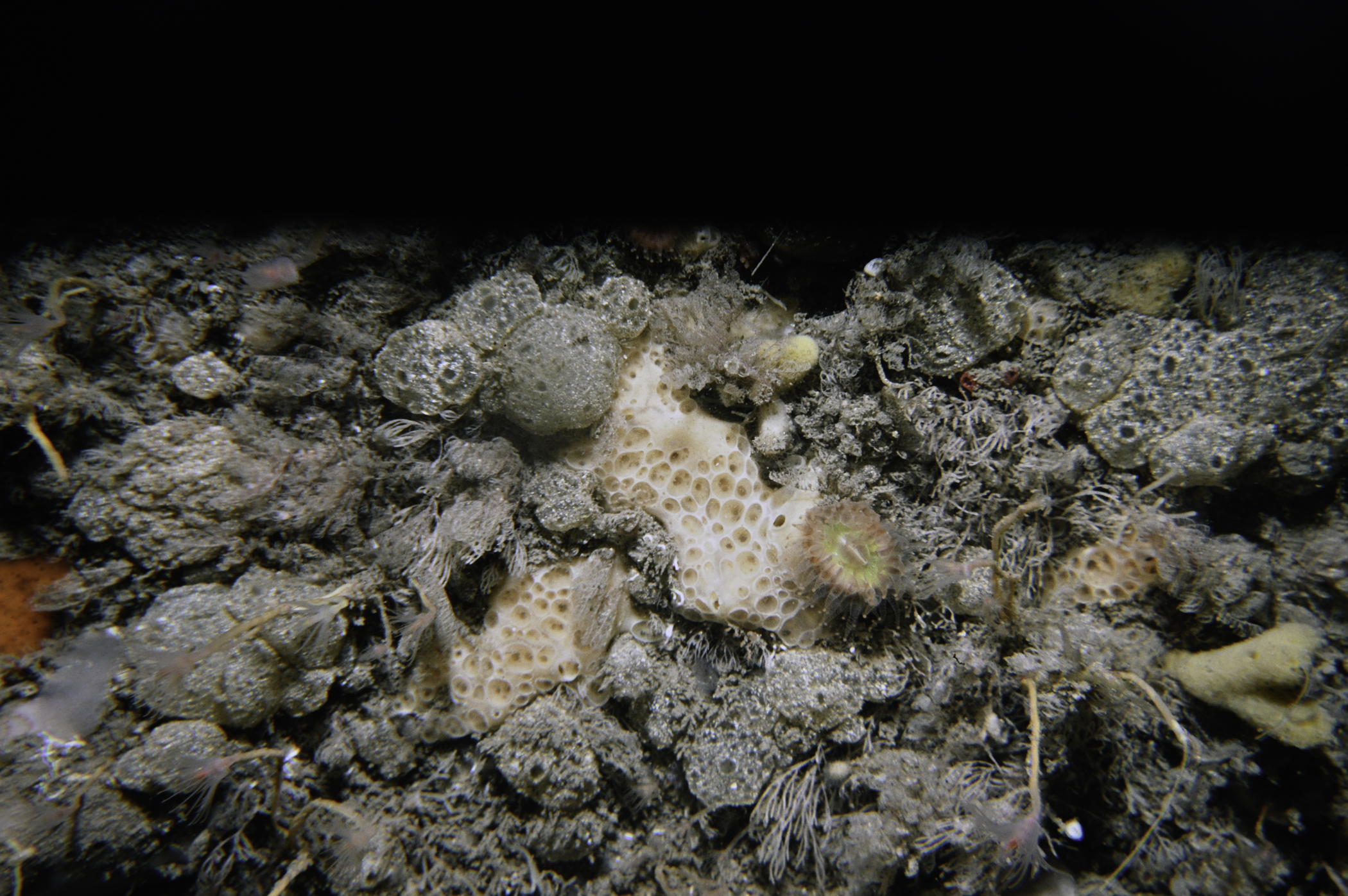
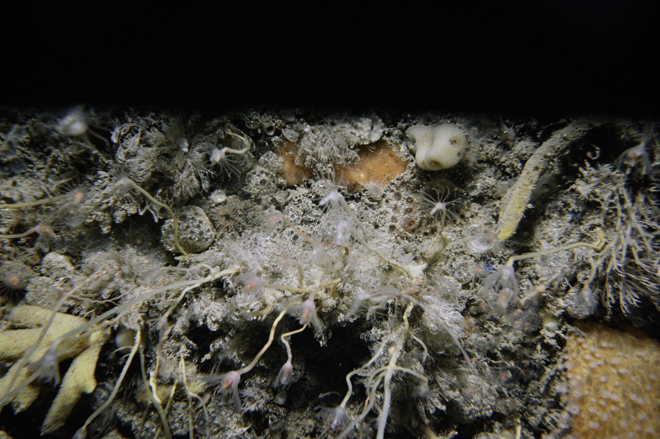
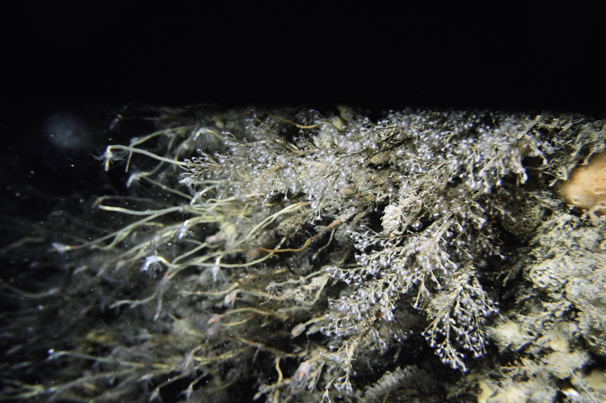
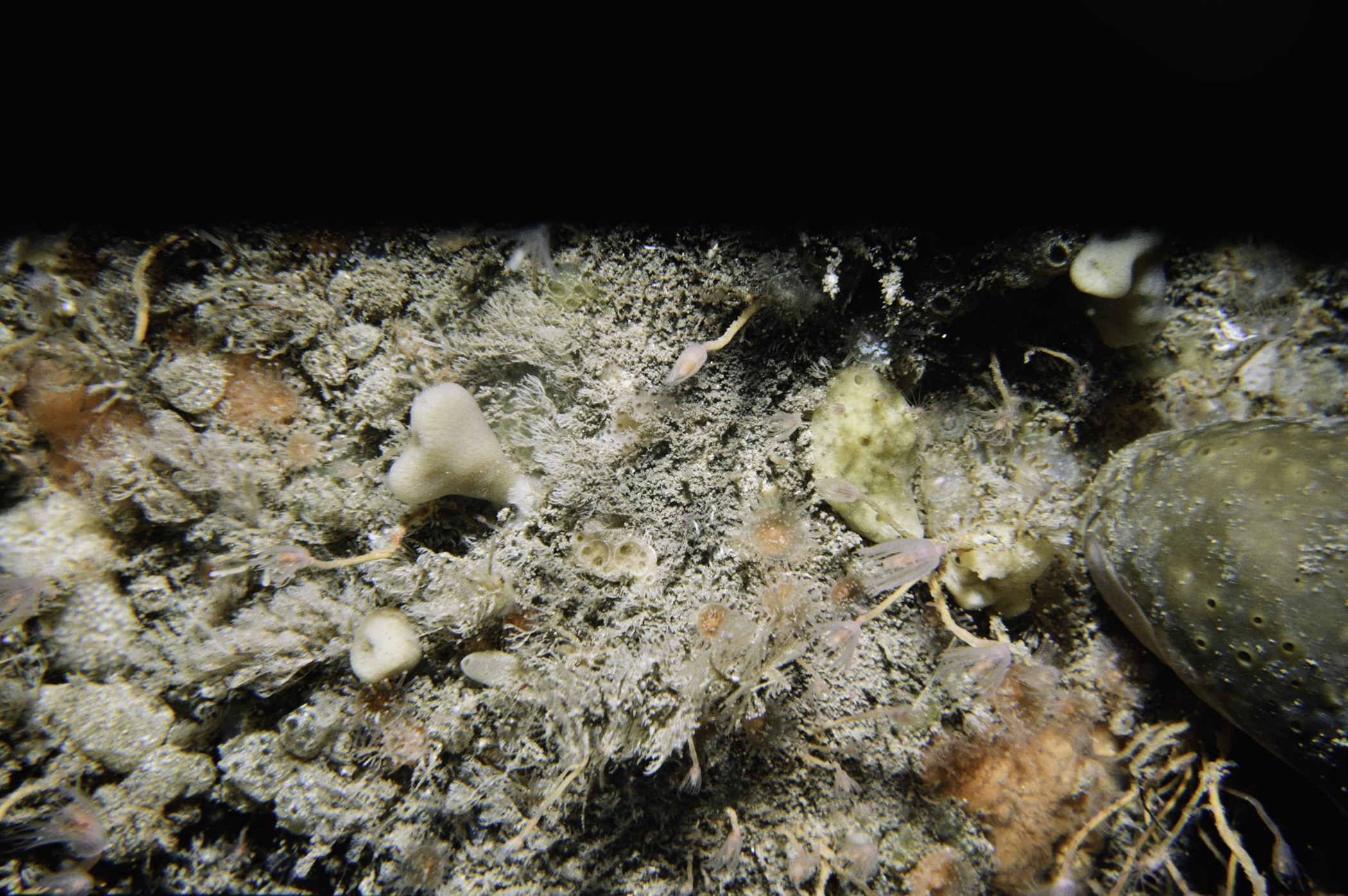
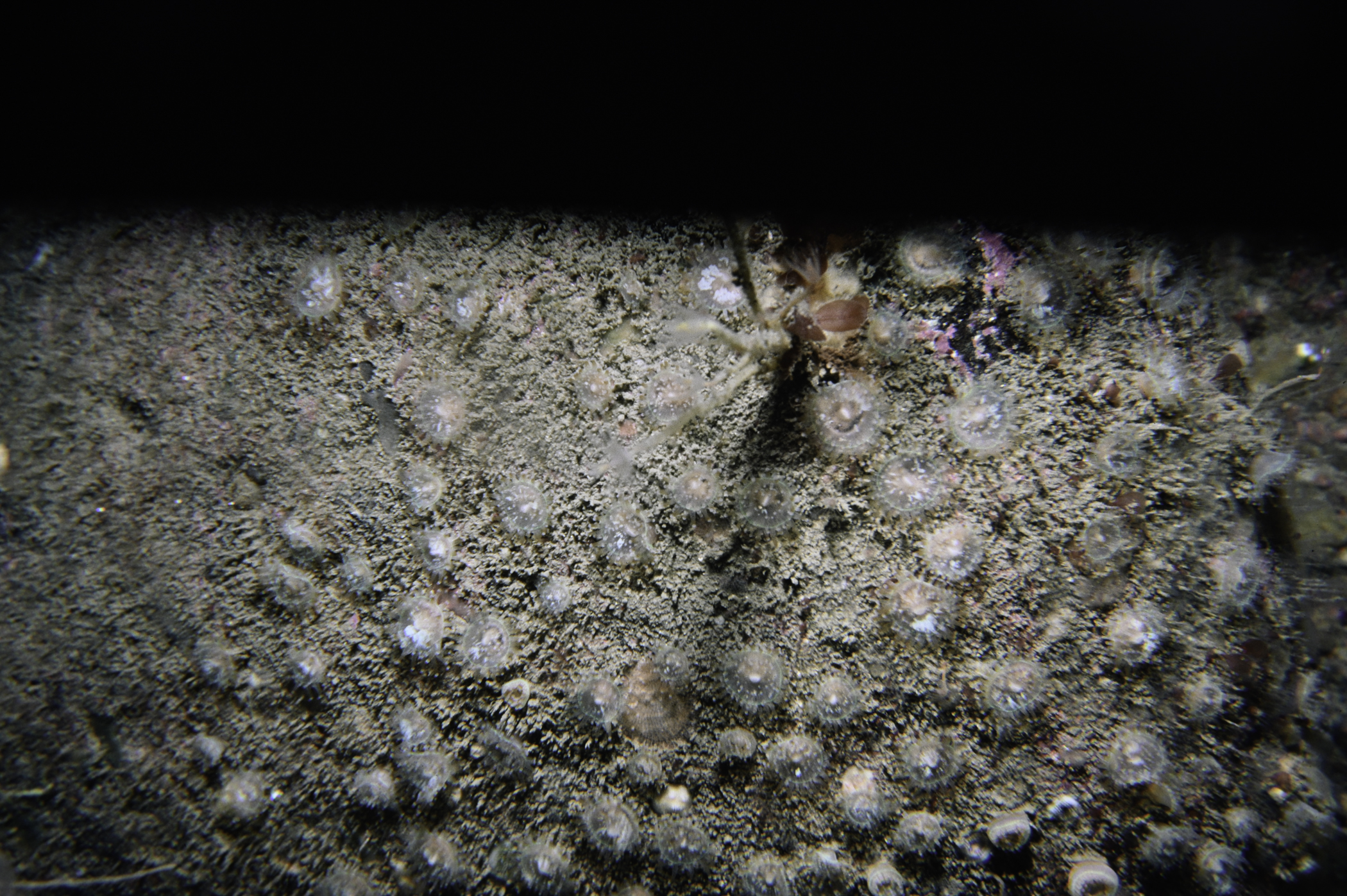
Site Description: Smooth even bedrock with ascidian/bryozoan turf and many sponges & Tubularia. Occasional dip or small gully. Red algae limit 28m.
Species list (38 species recorded):
PORIFERA
Spongionella pulchella
Dysidea fragilis
Pachymatisma johnstonia
Axinella infundibuliformis
Raspailia hispida
Raspailia ramosa
Stelligera stuposa
Polymastia boletiformis
Hemimycale columella
Phorbas fictitius
Myxilla fimbriata
Myxilla incrustans
Hymeniacidon perleve
CNIDARIA
Tubularia indivisa
Ectopleura larynx
Eudendrium sp.
Eudendrium annulatum
Sertularia argentea
Nemertesia antennina
Plumularia setacea
Alcyonium digitatum
Actinothoe sphyrodeta
Corynactis viridis
Caryophyllia smithii
ANNELIDA
Filograna implexa
CRUSTACEA
Cancer pagurus
MOLLUSCA
Calliostoma zizyphinum
BRYOZOA
Crisia denticulata
Bugula avicularia
Cellaria sinuosa
ECHINODERMATA
Henricia oculata
Leptasterias muelleri
TUNICATA
Polyclinum aurantium
Aplidium punctum
Ascidia mentula
Polycarpa pomaria
Botryllus schlosseri
PISCES
Pholis gunnellus
No biotope record.
PORIFERA
Spongionella pulchella P
Dysidea fragilis P
Pachymatisma johnstonia P
Axinella infundibuliformis P
Raspailia hispida P
Raspailia ramosa P
Stelligera stuposa P
Polymastia boletiformis P
Hemimycale columella P
Phorbas fictitius P
Myxilla fimbriata P
Myxilla incrustans P
Hymeniacidon perleve P
CNIDARIA
Tubularia indivisa P
Ectopleura larynx P
Eudendrium sp. P
Eudendrium annulatum P
Sertularia argentea P
Nemertesia antennina P
Plumularia setacea P
Alcyonium digitatum P
Actinothoe sphyrodeta P
Corynactis viridis P
Caryophyllia smithii P
ANNELIDA
Filograna implexa P
CRUSTACEA
Cancer pagurus P
MOLLUSCA
Calliostoma zizyphinum P
BRYOZOA
Crisia denticulata P
Bugula avicularia P
Cellaria sinuosa P
ECHINODERMATA
Henricia oculata P
Leptasterias muelleri P
TUNICATA
Polyclinum aurantium P
Aplidium punctum P
Ascidia mentula P
Polycarpa pomaria P
Botryllus schlosseri P
PISCES
Pholis gunnellus P
| Previous site | Next site |
