Marine Biodiversity Data Portal - NI
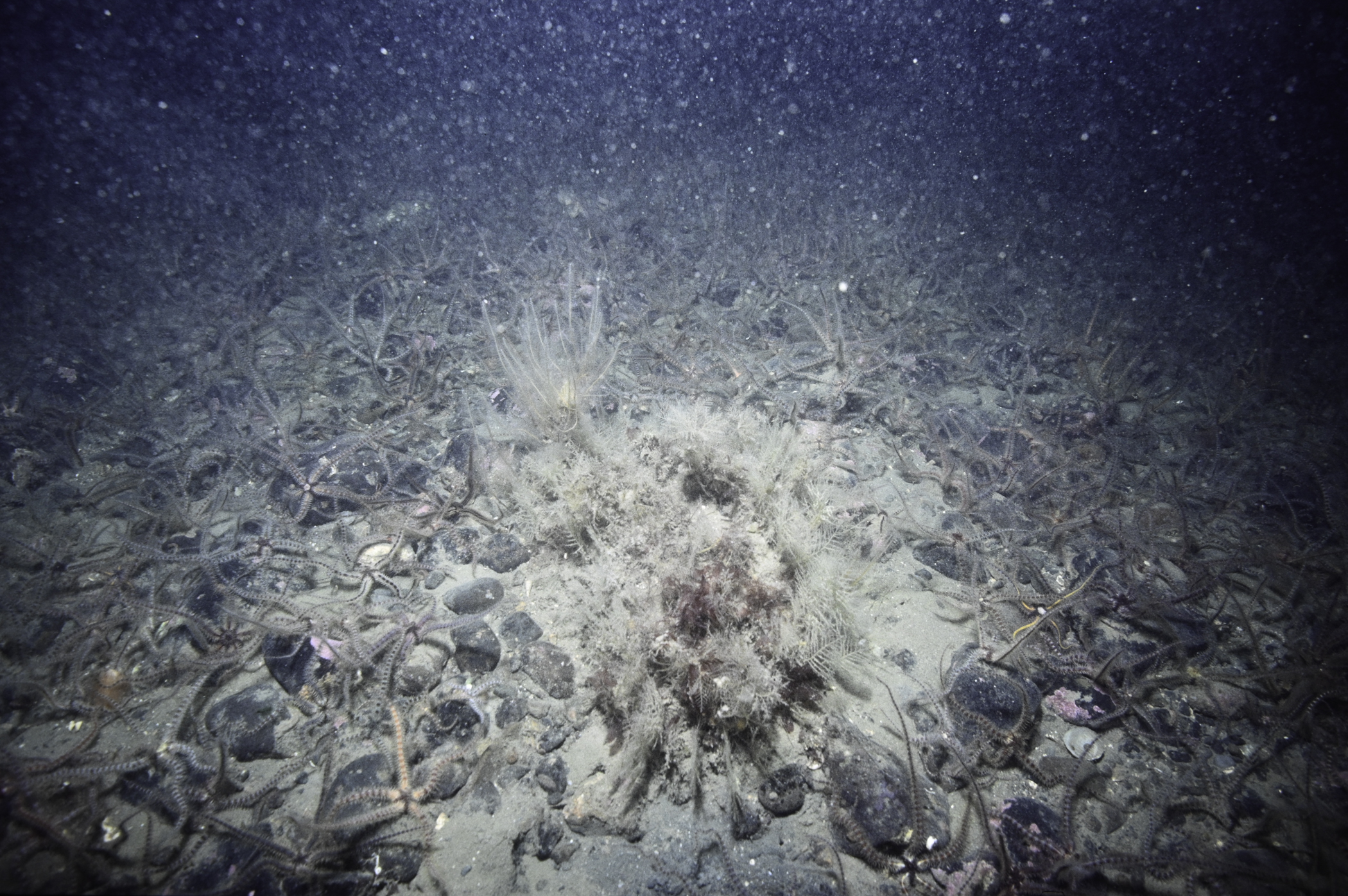
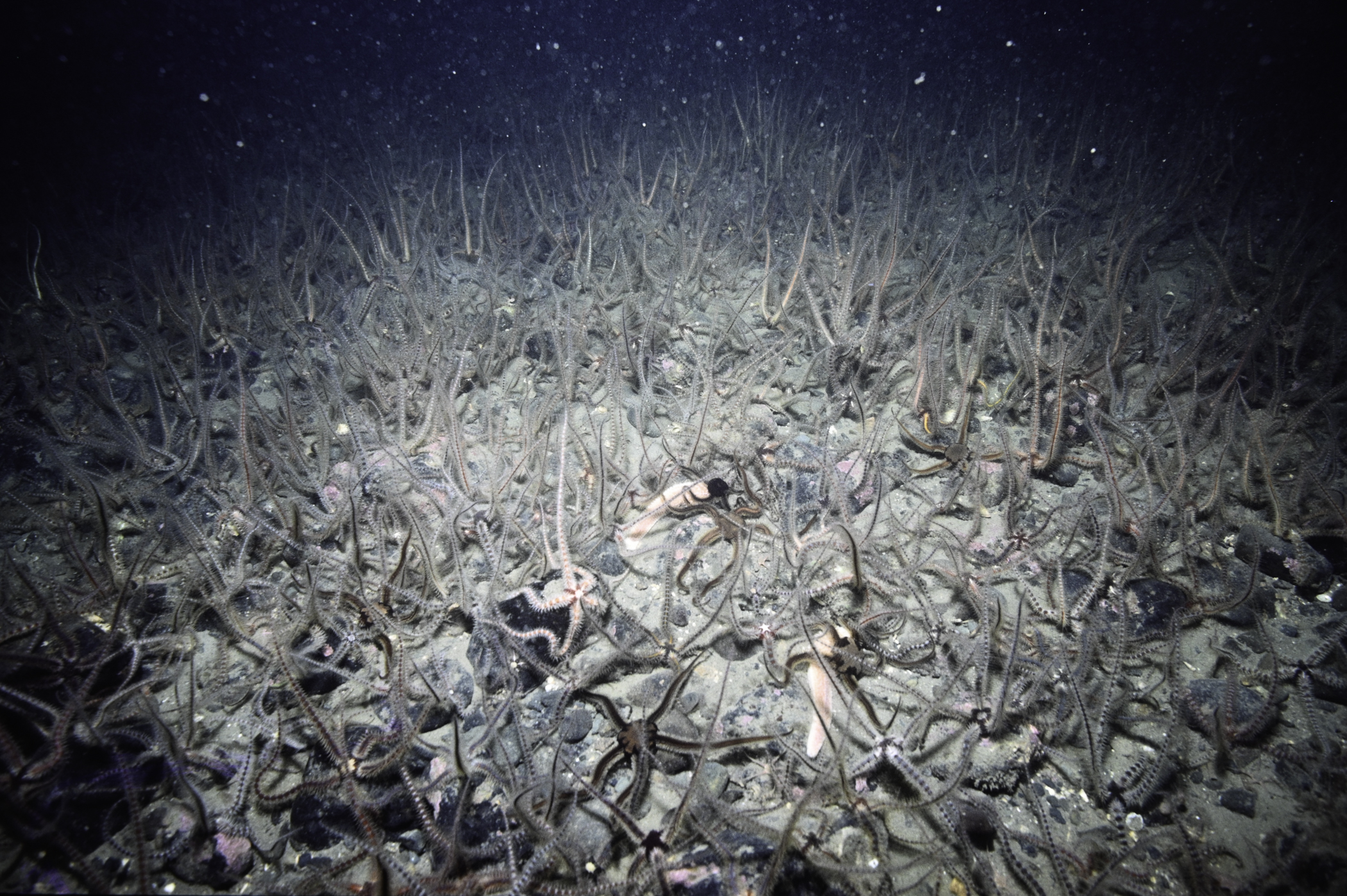
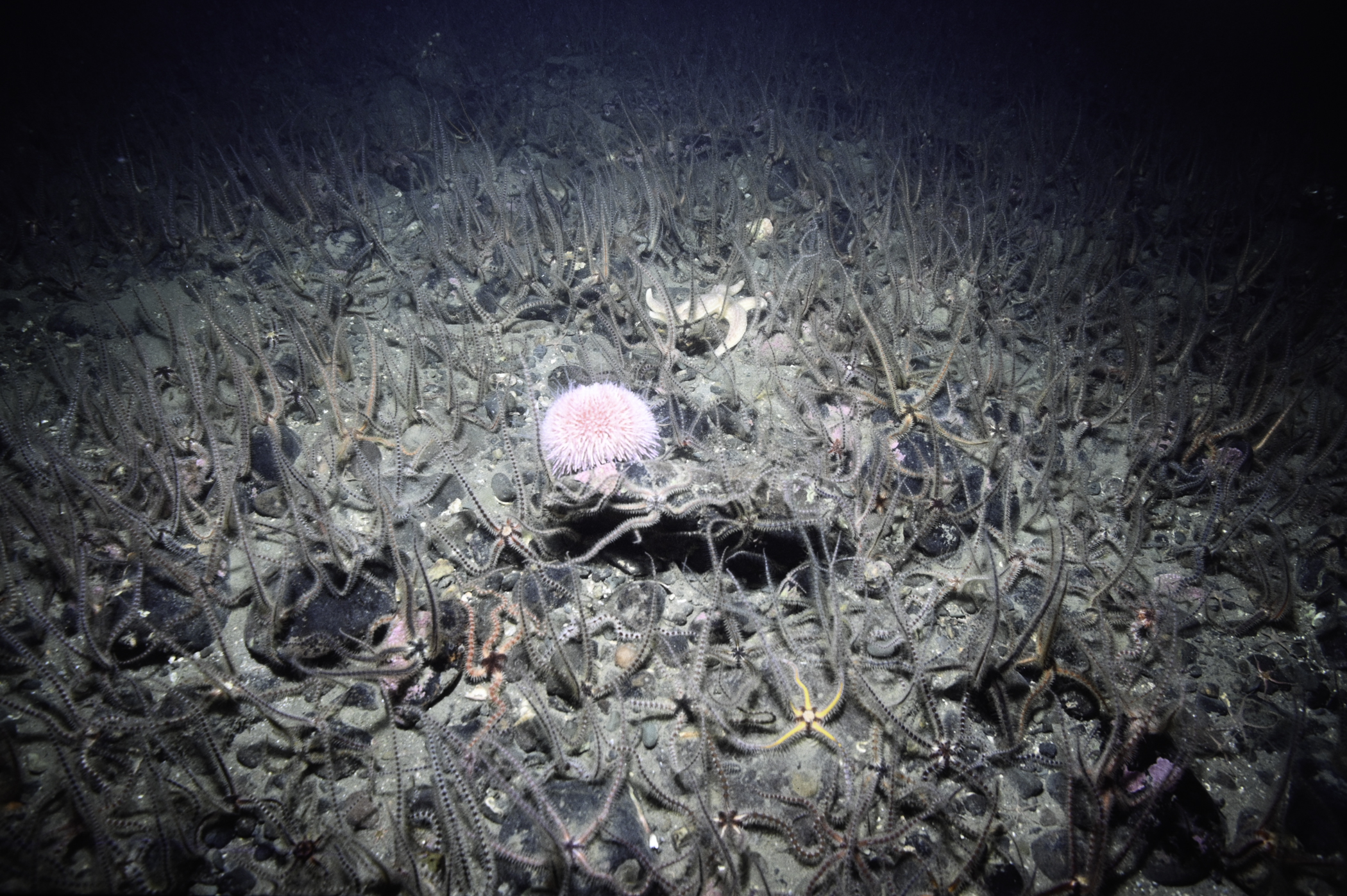
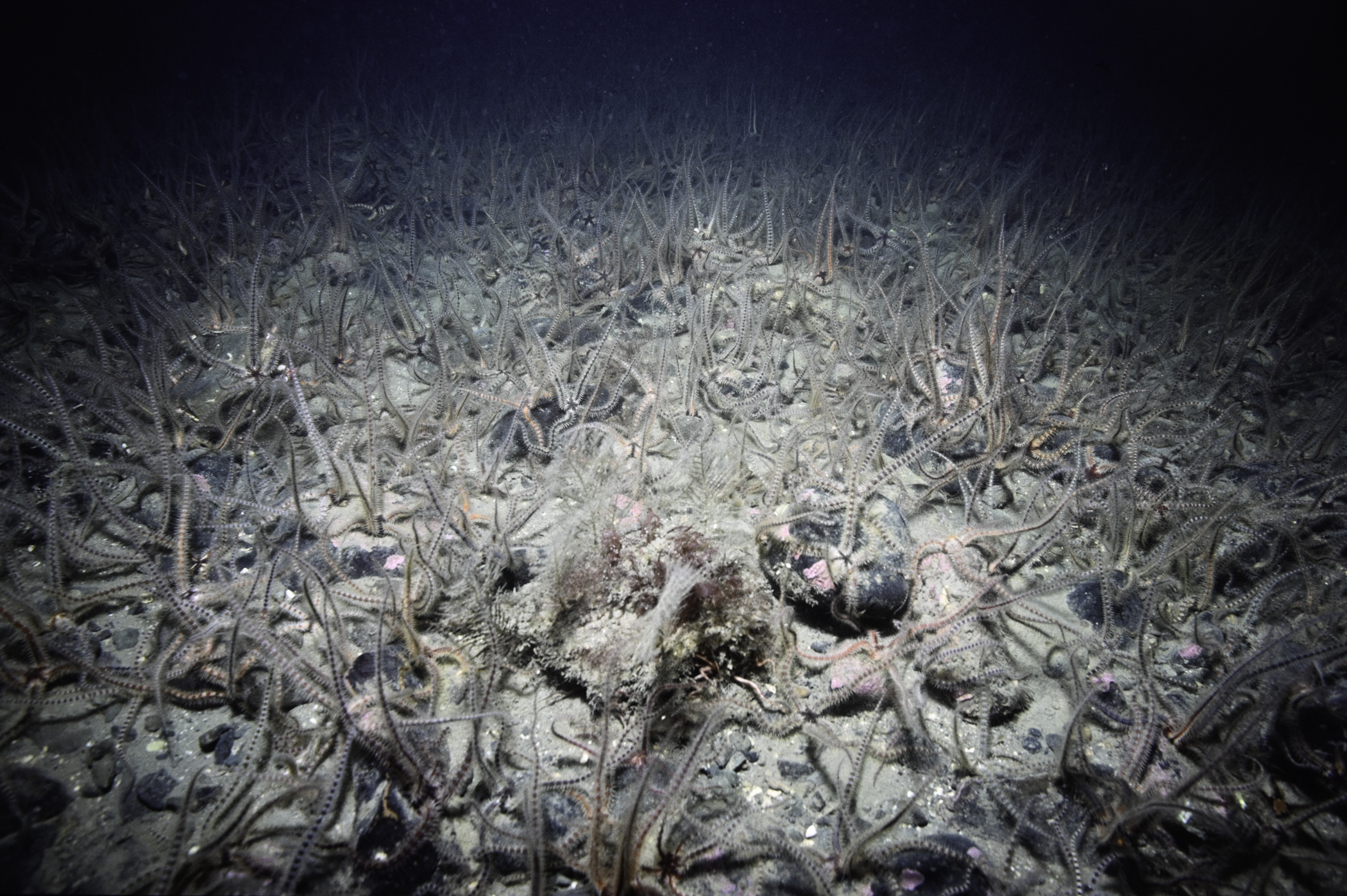
E of Hellyhunter Buoy, Cranfield Point.
Survey number: 550 Event number: 19850531/01 Date: 1985-05-31 GPS: 54.00383,-6.01567. Depth: -13.0 to -14.0 m. [ View map ]
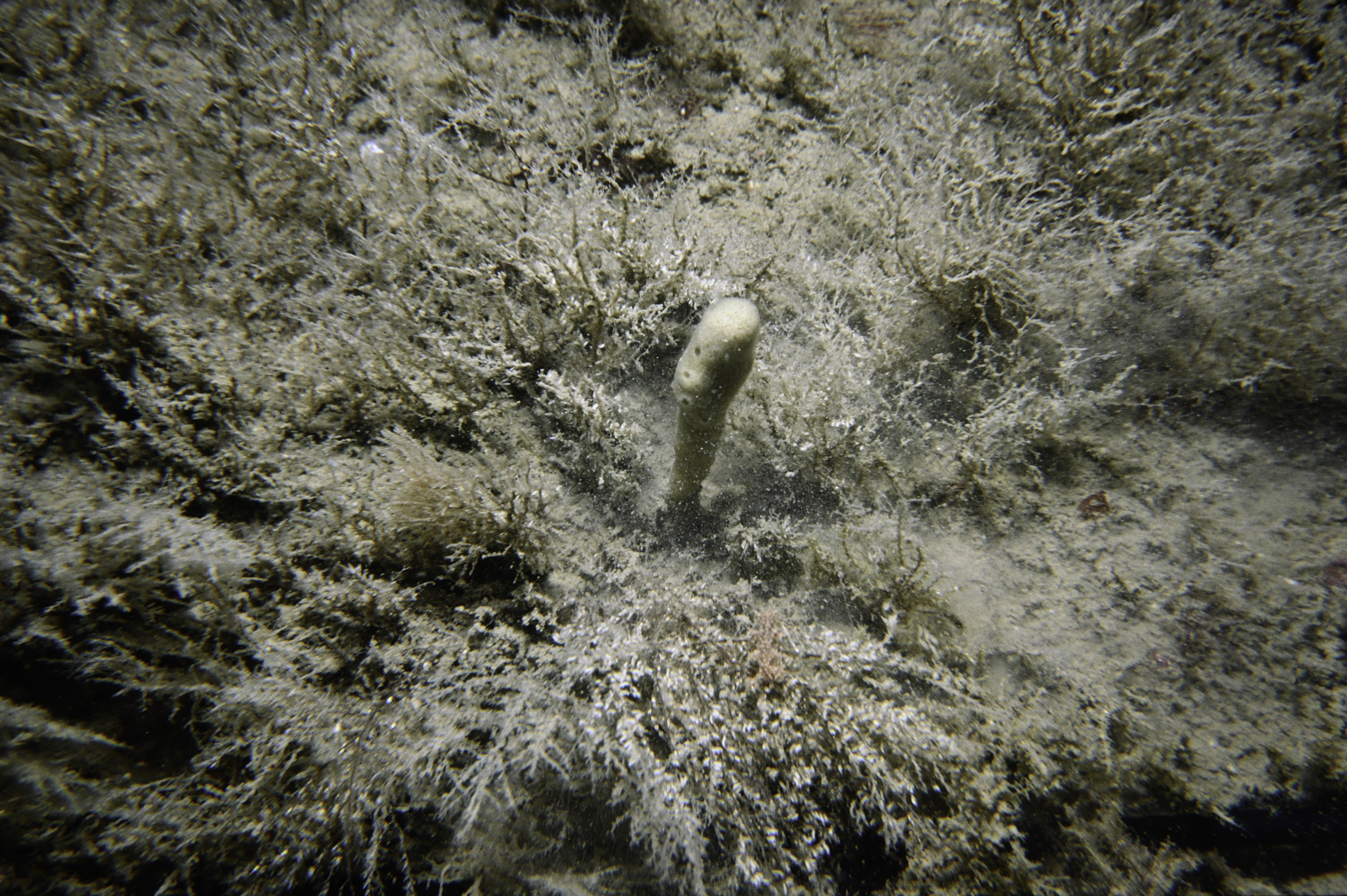
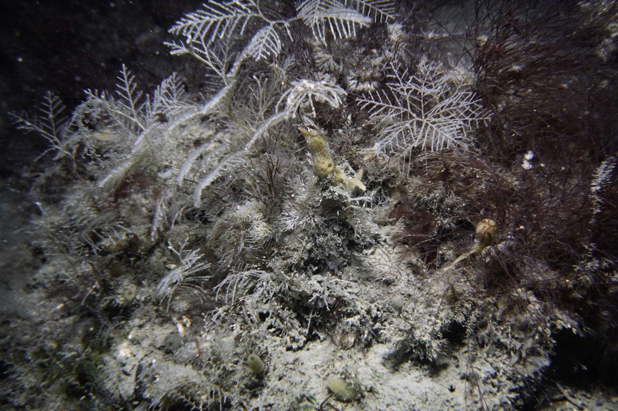
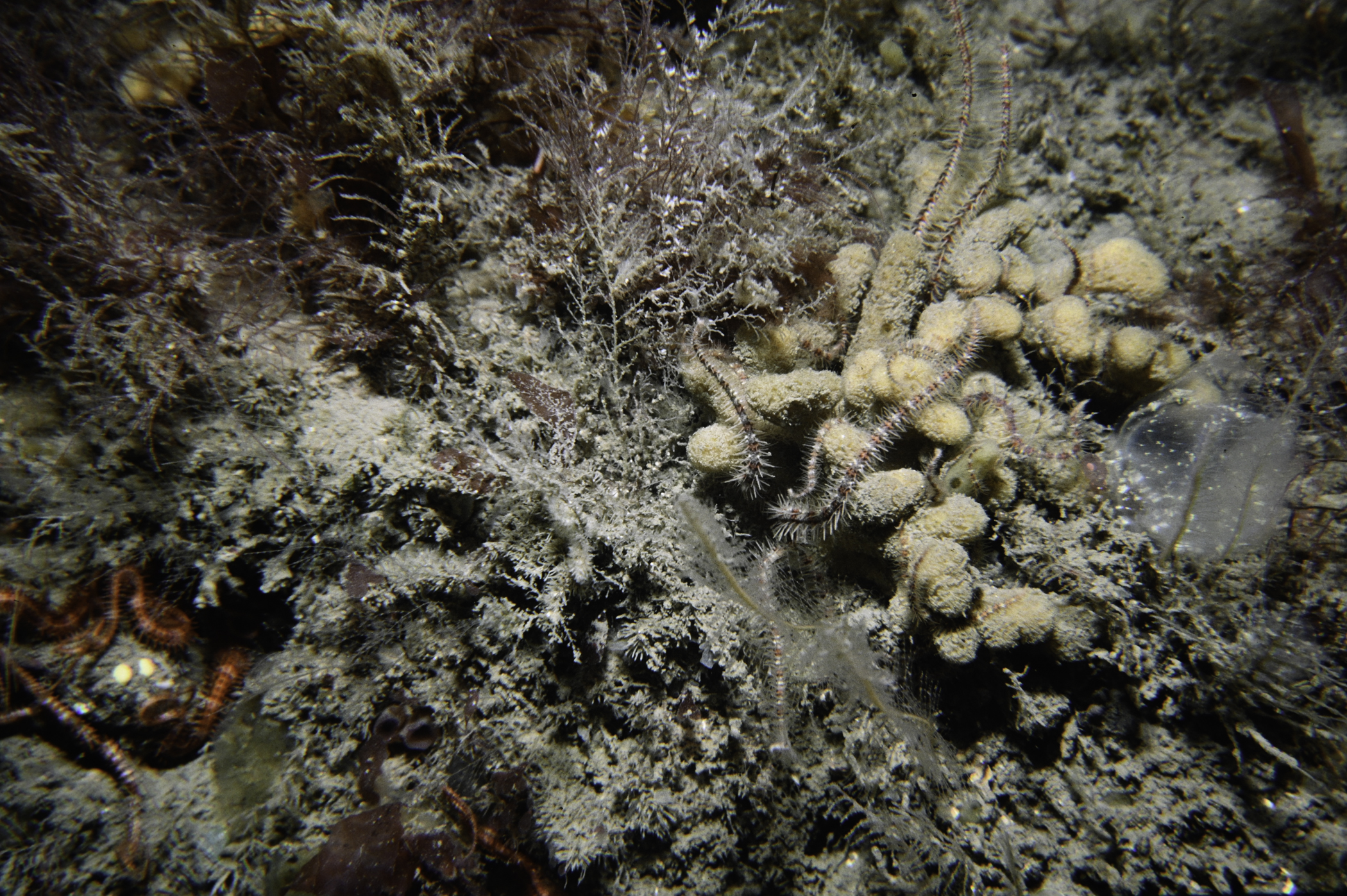
Site Description: Plain of cobble on pebble and silty gravel with frequent limestone and igneous boulders; two areas boulder clay; no life.
Species list (59 species recorded):
PORIFERA
Leucosolenia botryoides
Sycon ciliatum
Oscarella sp.
Stelligera montagui
Polymastia boletiformis
Polymastia penicillus
Tethya citrina
Cliona celata
Mycale rotalis
Halichondria bowerbanki
Suberites carnosus
Haliclona oculata
CNIDARIA
Halecium beanii
Halecium halecinum
Hydrallmania falcata
Sertularella gayi
Halopteris catharina
Kirchenpaueria pinnata
Nemertesia antennina
Obelia sp.
Obelia plicata
Alcyonium digitatum
ANNELIDA
Harmothoe impar
Pomatoceros triqueter
CRUSTACEA
Pandalus montagui
Anapagurus hyndmanni
Pagurus bernhardus
Galathea squamifera
Necora puber
MOLLUSCA
Tonicella marmorea
Hinia (Hima) incrassata
Hiatella arctica
BRYOZOA
Alcyonidium diaphanum
Bicellariella ciliata
Scrupocellaria scruposa
Parasmittina trispinosa
ECHINODERMATA
Antedon bifida
Crossaster papposus
Asterias rubens
Ophiothrix fragilis
Ophiocomina nigra
Ophiopholis aculeata
Ophiura albida
Psammechinus miliaris
Echinus esculentus
TUNICATA
Clavelina lepadiformis
Ciona intestinalis
Corella parallelogramma
Ascidia mentula
Dendrodoa grossularia
RHODOPHYTA
Lithophyllum sp.
Cruoria sp.
Calliblepharis jubata
Cystoclonium purpureum
Phyllophora crispa
Plocamium cartilagineum
Phycodrys rubens
CHROMOPHYTA
Dictyota dichotoma
CHLOROPHYTA
Bryopsis plumosa
No biotope record.
PORIFERA
Leucosolenia botryoides P
Sycon ciliatum P
Oscarella sp. P
Stelligera montagui P
Polymastia boletiformis P
Polymastia penicillus P
Tethya citrina P
Cliona celata P
Mycale rotalis P
Halichondria bowerbanki P
Suberites carnosus P
Haliclona oculata P
CNIDARIA
Halecium beanii P
Halecium halecinum P
Hydrallmania falcata P
Sertularella gayi P
Halopteris catharina P
Kirchenpaueria pinnata P
Nemertesia antennina P
Obelia sp. P
Obelia plicata P
Alcyonium digitatum P
ANNELIDA
Harmothoe impar P
Pomatoceros triqueter P
CRUSTACEA
Pandalus montagui P
Anapagurus hyndmanni P
Pagurus bernhardus P
Galathea squamifera P
Necora puber P
MOLLUSCA
Tonicella marmorea P
Hinia (Hima) incrassata P
Hiatella arctica P
BRYOZOA
Alcyonidium diaphanum P
Bicellariella ciliata P
Scrupocellaria scruposa P
Parasmittina trispinosa P
ECHINODERMATA
Antedon bifida P
Crossaster papposus P
Asterias rubens P
Ophiothrix fragilis P
Ophiocomina nigra P
Ophiopholis aculeata P
Ophiura albida P
Psammechinus miliaris P
Echinus esculentus P
TUNICATA
Clavelina lepadiformis P
Ciona intestinalis P
Corella parallelogramma P
Ascidia mentula P
Dendrodoa grossularia P
RHODOPHYTA
Lithophyllum sp. P
Cruoria sp. P
Calliblepharis jubata P
Cystoclonium purpureum P
Phyllophora crispa P
Plocamium cartilagineum P
Phycodrys rubens P
CHROMOPHYTA
Dictyota dichotoma P
CHLOROPHYTA
Bryopsis plumosa P
| Previous site | Next site |
