Marine Biodiversity Data Portal - NI
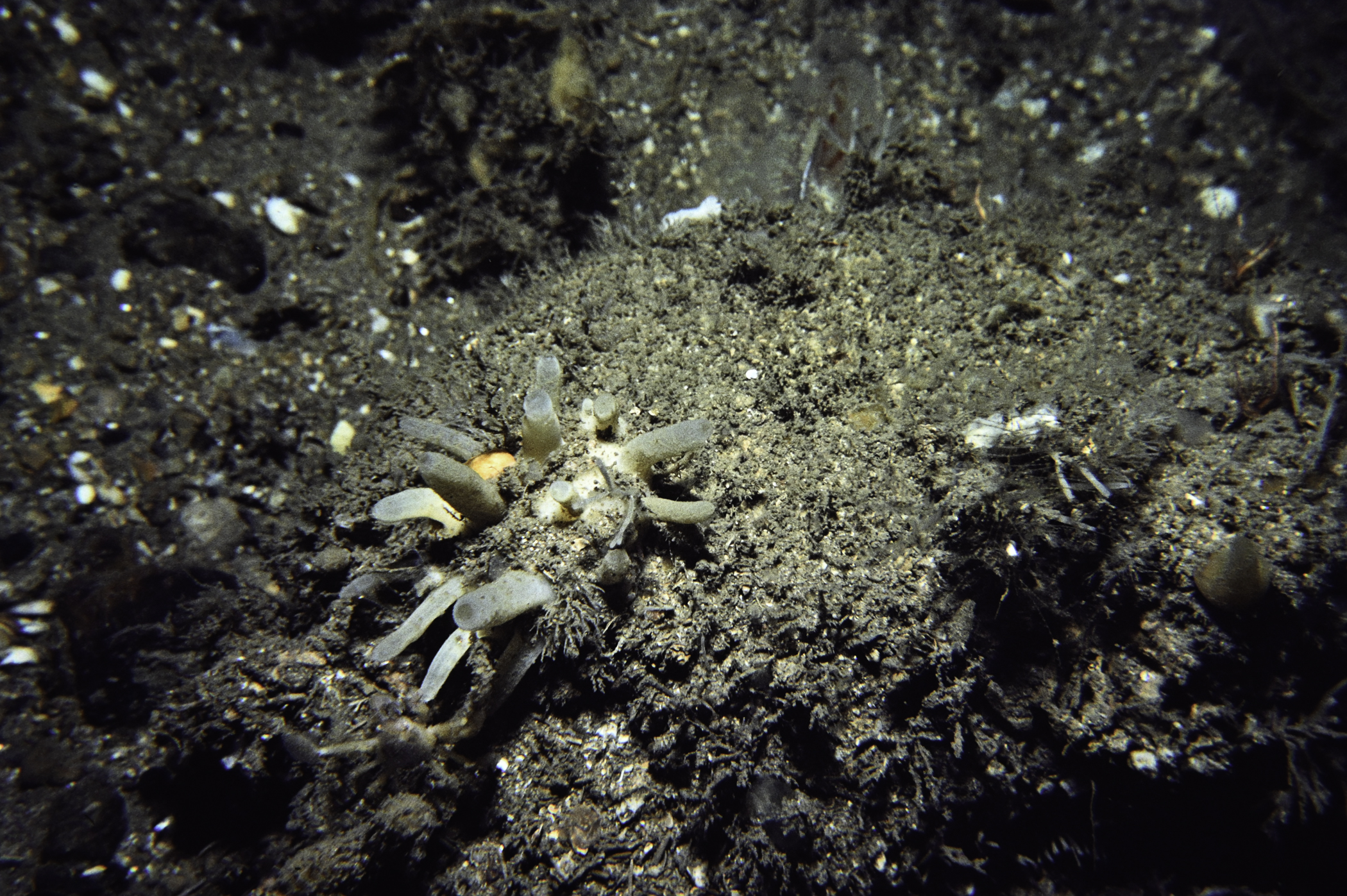
E of The Lochgary, Rathlin Island.
Survey number: 550 Event number: 19840816/01 Date: 1984-08-16 GPS: 55.26783,-6.16433. Depth: -50.0 to -51.0 m. [ View map ]
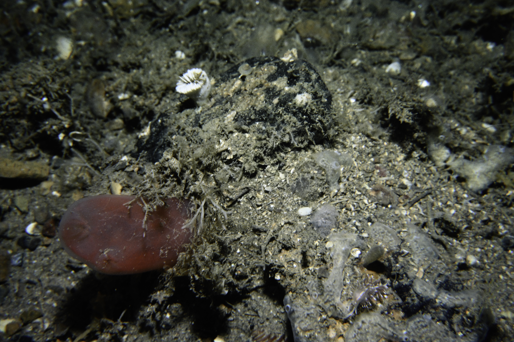
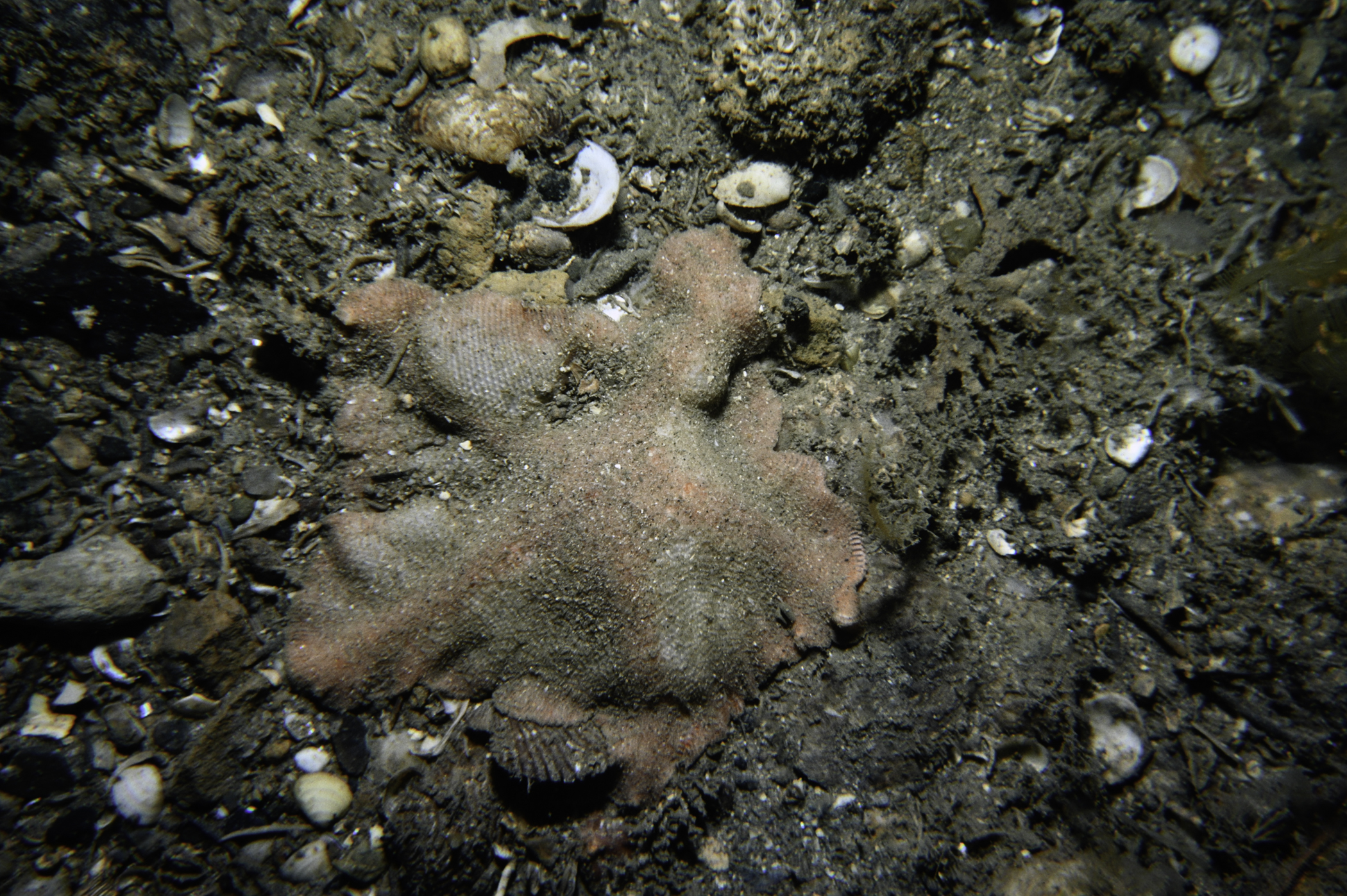
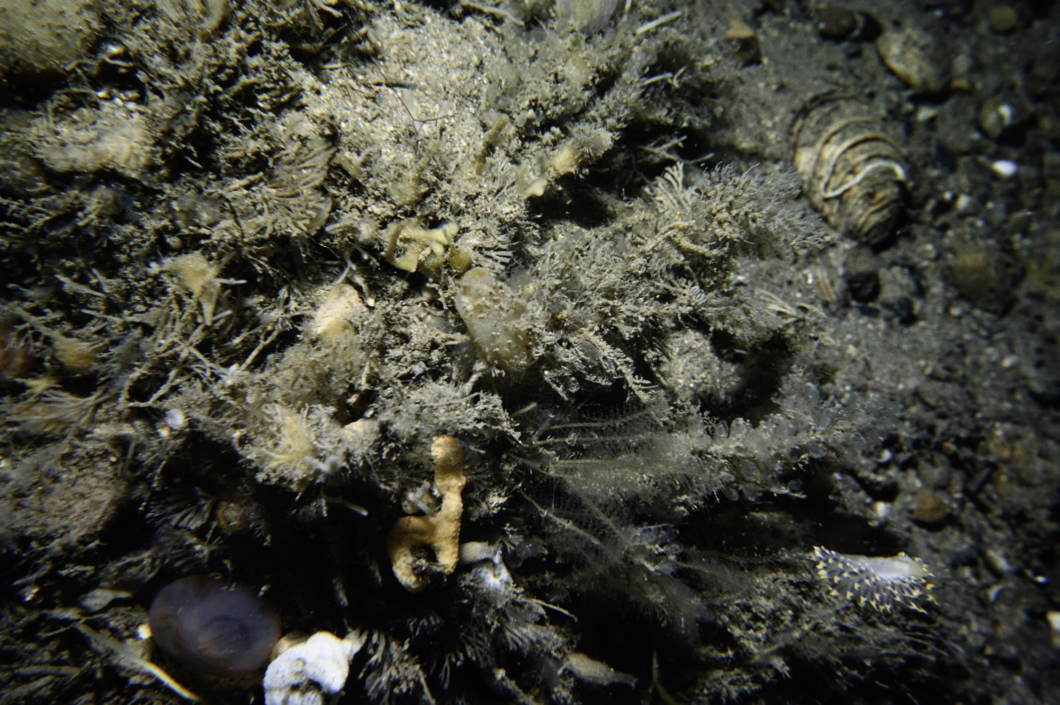
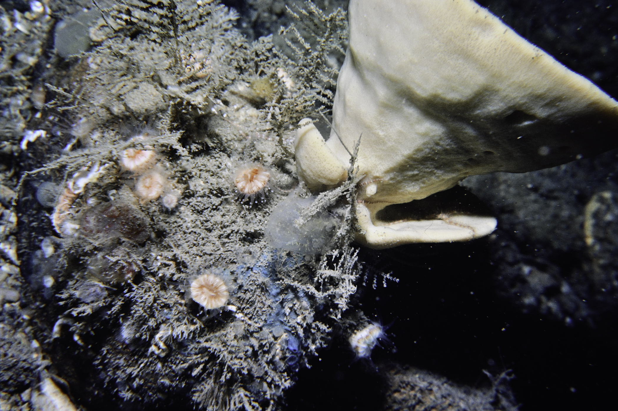
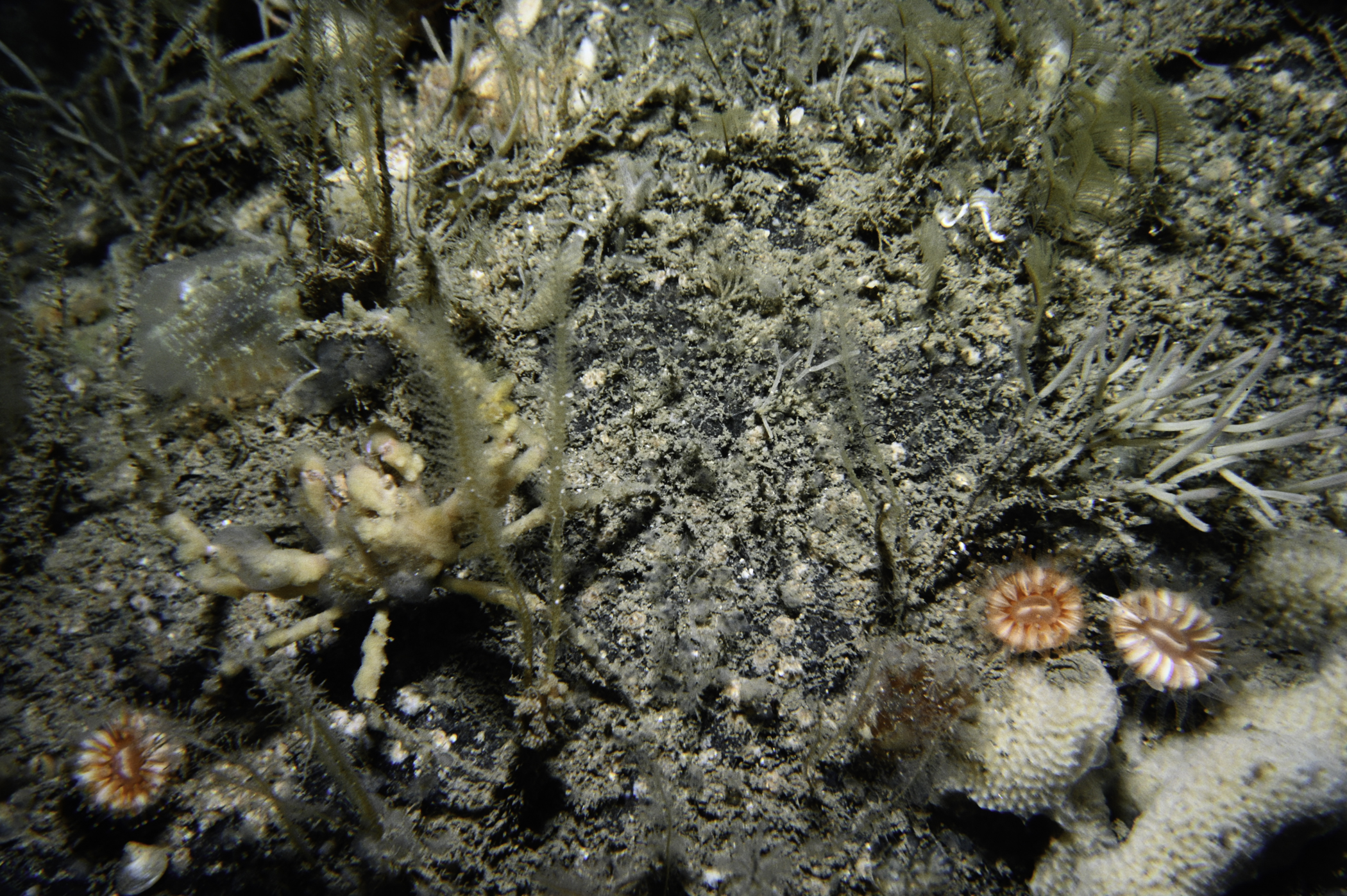
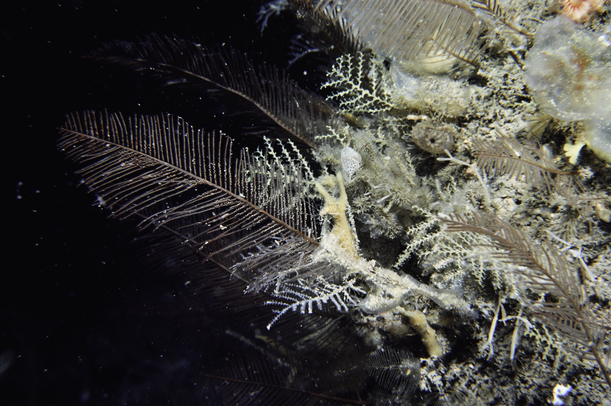
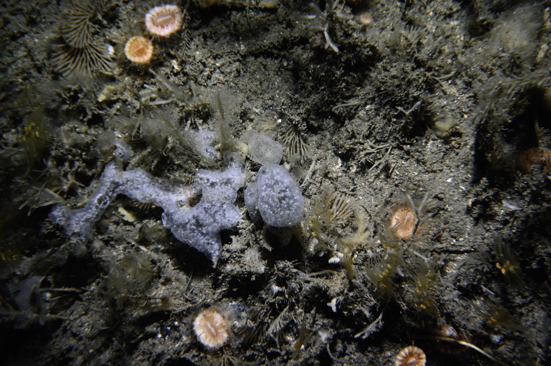
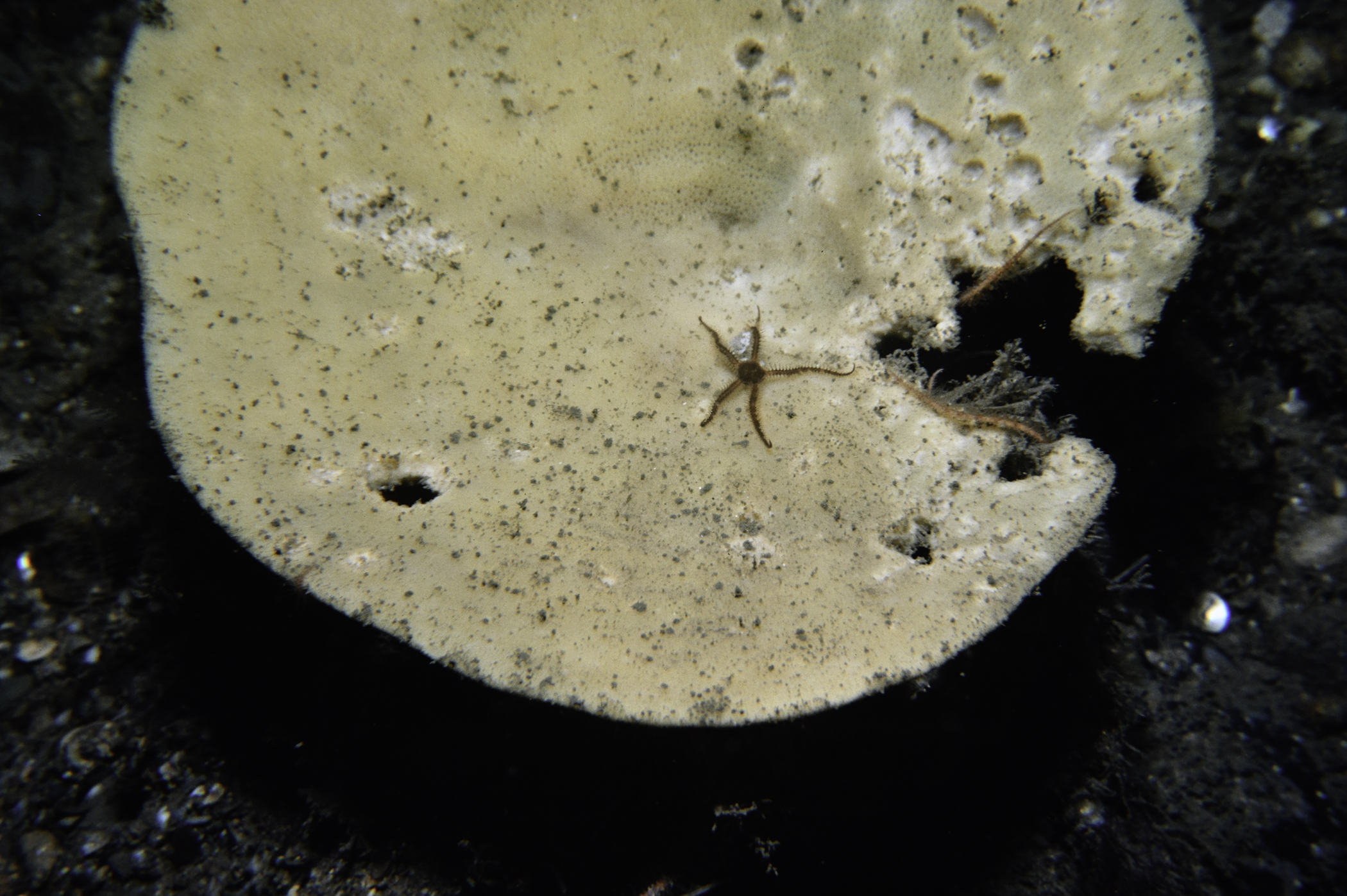
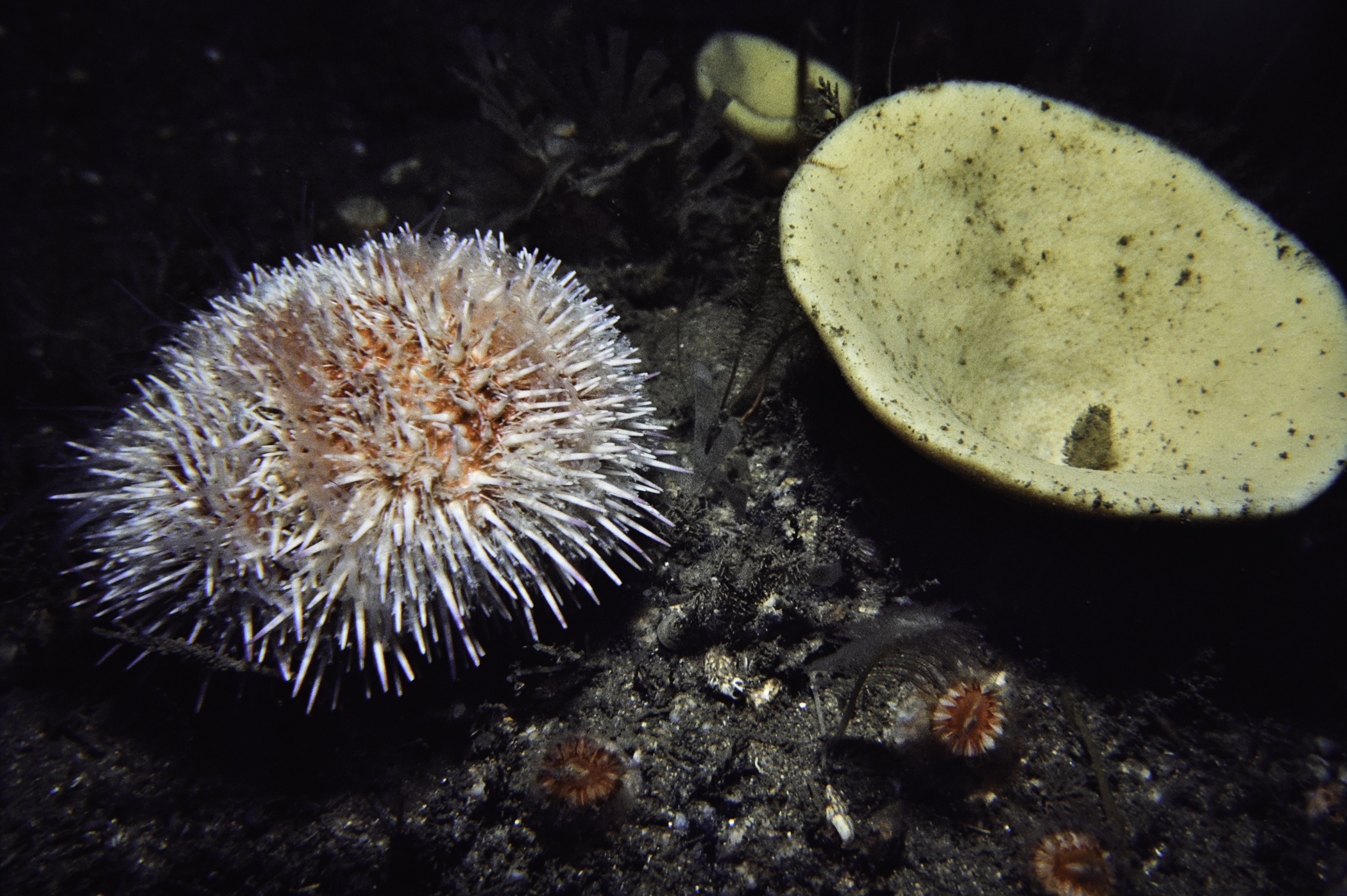
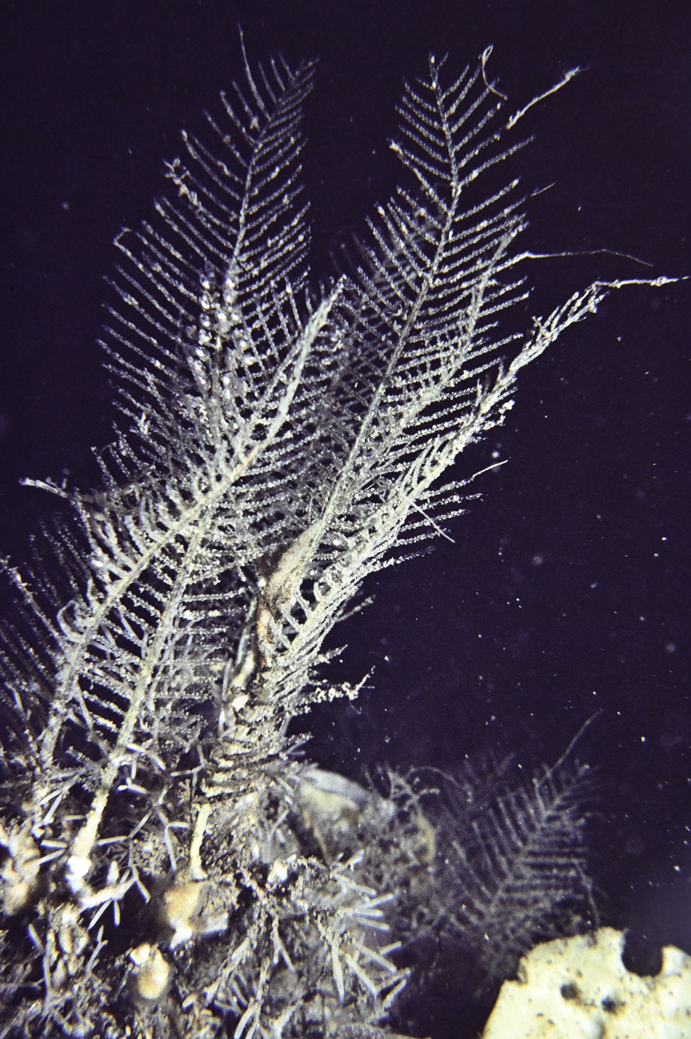
Site Description: Coarse gravel with surface of cobbles + boulders. Hydroids and Axinella infundibuliformis dominant.
Species list (49 species recorded):
PORIFERA
Dysidea fragilis
Axinella infundibuliformis
Raspailia hispida
Stelligera stuposa
Polymastia boletiformis
Iophon hyndmani
Hymedesmia paupertas
CNIDARIA
Tubularia indivisa
Diphasia alata
Diphasia nigra
Diphasia margareta
Sertularella gayi
Halopteris catharina
Kirchenpaueria pinnata
Nemertesia antennina
Nemertesia ramosa
Schizotricha frutescens
Aglaophenia tubulifera
Alcyonium digitatum
Caryophyllia smithii
ANNELIDA
Chaetopterus variopedatus
CRUSTACEA
Munida rugosa
Inachus leptochirus
MOLLUSCA
Calliostoma zizyphinum
Pecten maximus
Palliolum tigerinum
BRYOZOA
Crisia eburnea
Vesicularia spinosa
Flustra foliacea
Securiflustra securifrons
Cellaria fistulosa
Porella compressa
Parasmittina trispinosa
ECHINODERMATA
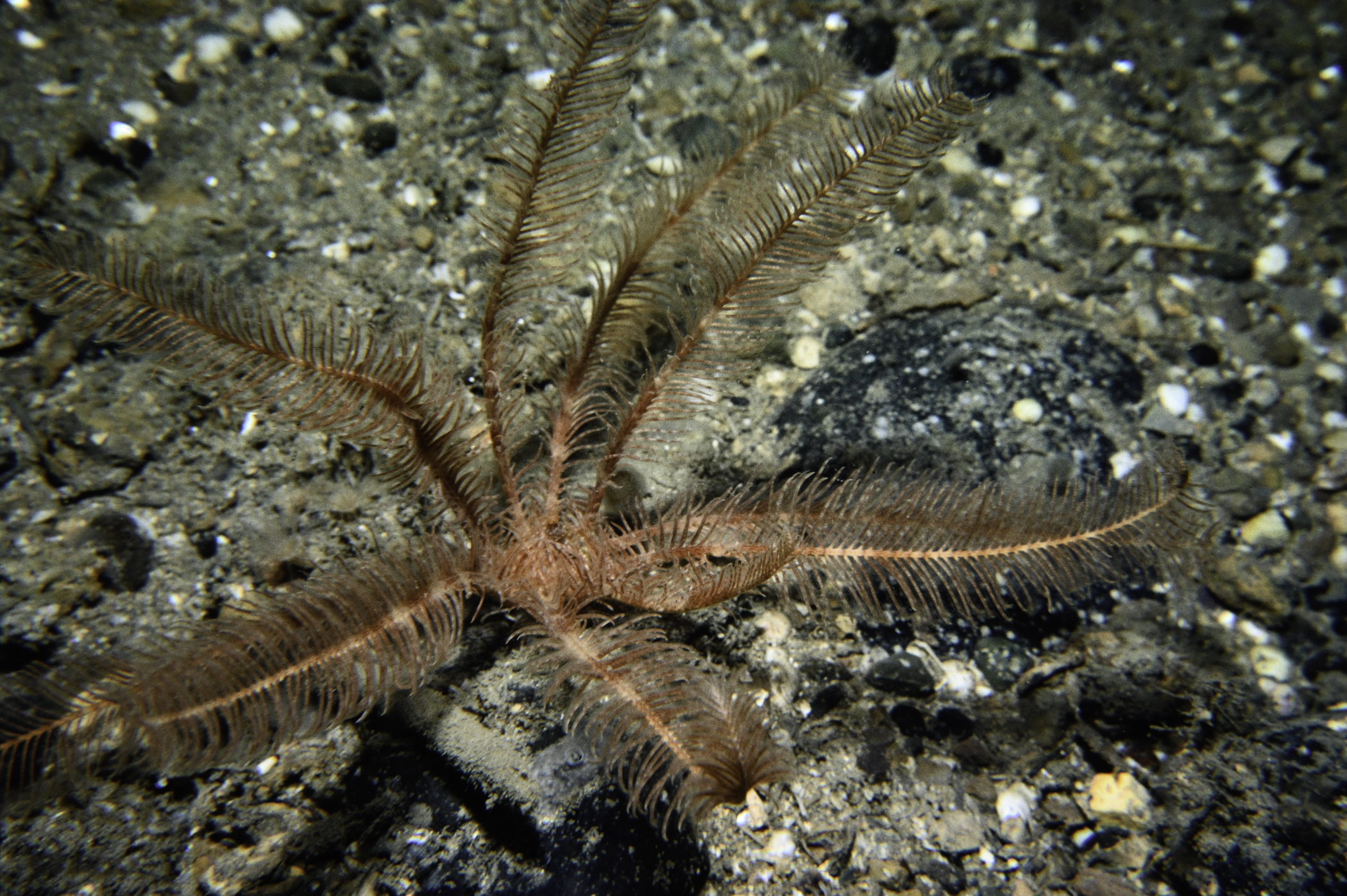
Antedon bifida
Luidia ciliaris
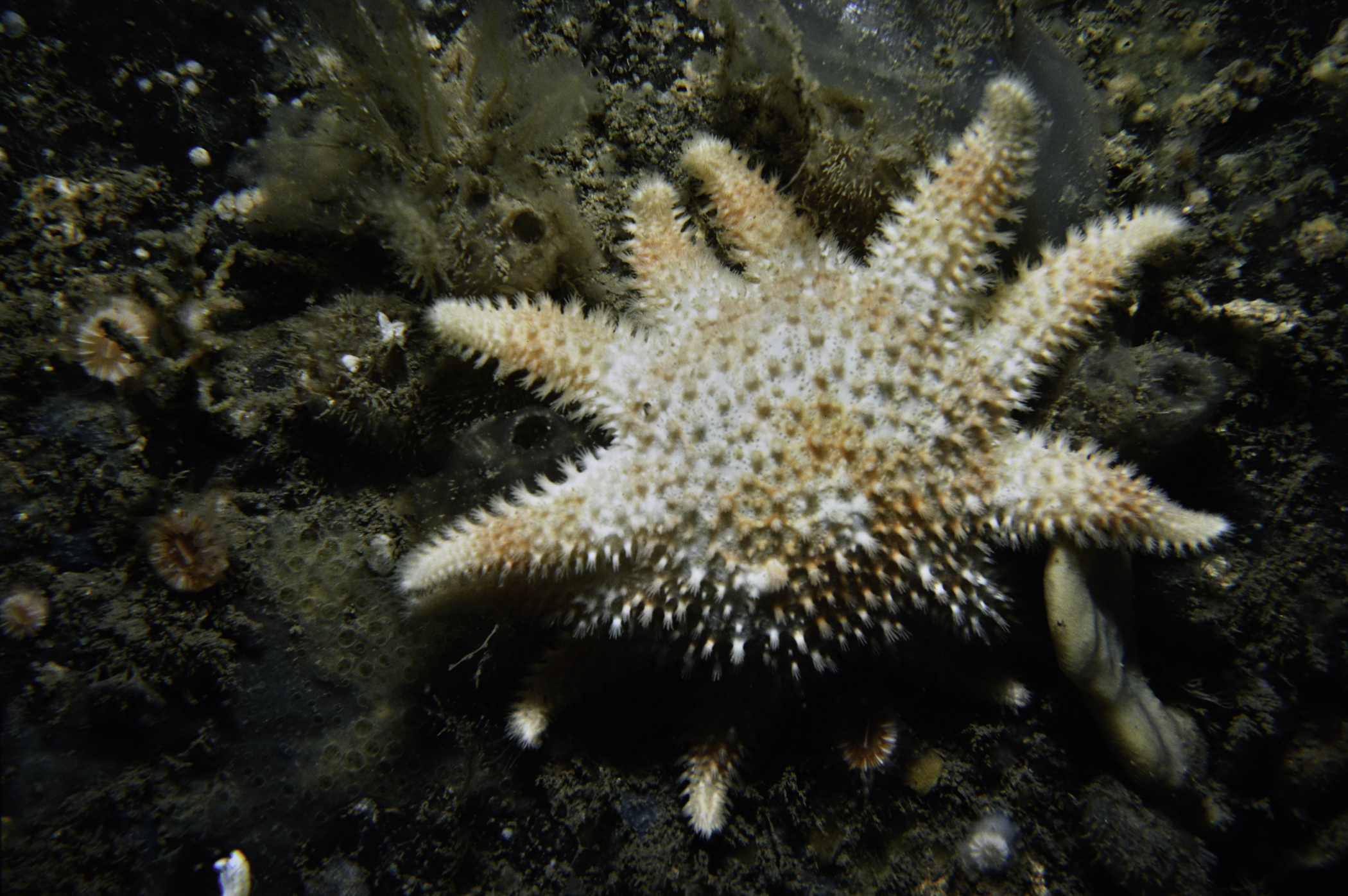
Porania pulvillus
Crossaster papposus
Marthasterias glacialis
Ophiura albida
Echinus esculentus
TUNICATA
Distaplia rosea
Diplosoma listerianum
Corella parallelogramma
Ascidia mentula
Polycarpa pomaria
PISCES
Trisopterus minutus
Ctenolabrus rupestris
Pholis gunnellus
Callionymus lyra
No biotope record.
PORIFERA
Dysidea fragilis P
Axinella infundibuliformis P
Raspailia hispida P
Stelligera stuposa P
Polymastia boletiformis P
Iophon hyndmani P
Hymedesmia paupertas P
CNIDARIA
Tubularia indivisa P
Diphasia alata P
Diphasia nigra P
Diphasia margareta P
Sertularella gayi P
Halopteris catharina P
Kirchenpaueria pinnata P
Nemertesia antennina P
Nemertesia ramosa P
Schizotricha frutescens P
Aglaophenia tubulifera P
Alcyonium digitatum P
Caryophyllia smithii P
ANNELIDA
Chaetopterus variopedatus P
CRUSTACEA
Munida rugosa P
Inachus leptochirus P
MOLLUSCA
Calliostoma zizyphinum P
Pecten maximus P
Palliolum tigerinum P
BRYOZOA
Crisia eburnea P
Vesicularia spinosa P
Flustra foliacea P
Securiflustra securifrons P
Cellaria fistulosa P
Porella compressa P
Parasmittina trispinosa P
ECHINODERMATA
Antedon bifida P
Luidia ciliaris P
Porania pulvillus P
Crossaster papposus P
Marthasterias glacialis P
Ophiura albida P
Echinus esculentus P
TUNICATA
Distaplia rosea P
Diplosoma listerianum P
Corella parallelogramma P
Ascidia mentula P
Polycarpa pomaria P
PISCES
Trisopterus minutus P
Ctenolabrus rupestris P
Pholis gunnellus P
Callionymus lyra P
| Previous site | Next site |
