Marine Biodiversity Data Portal - NI
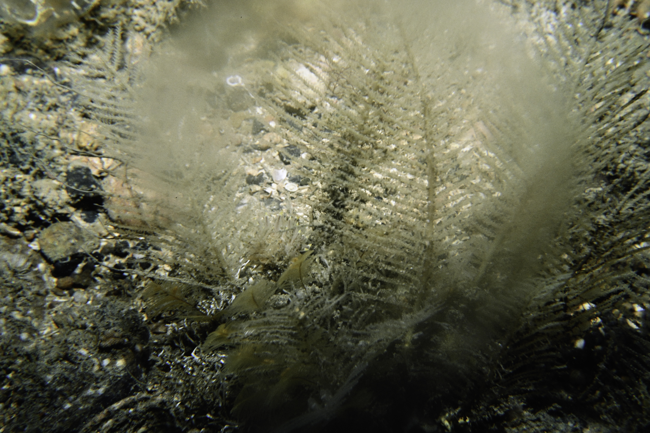
E of Doon Point, Rathlin Island.
Survey number: 550 Event number: 19840814/03 Date: 1984-08-14 GPS: 55.27283,-6.17000. Depth: -36.0 to -37.0 m. [ View map ]
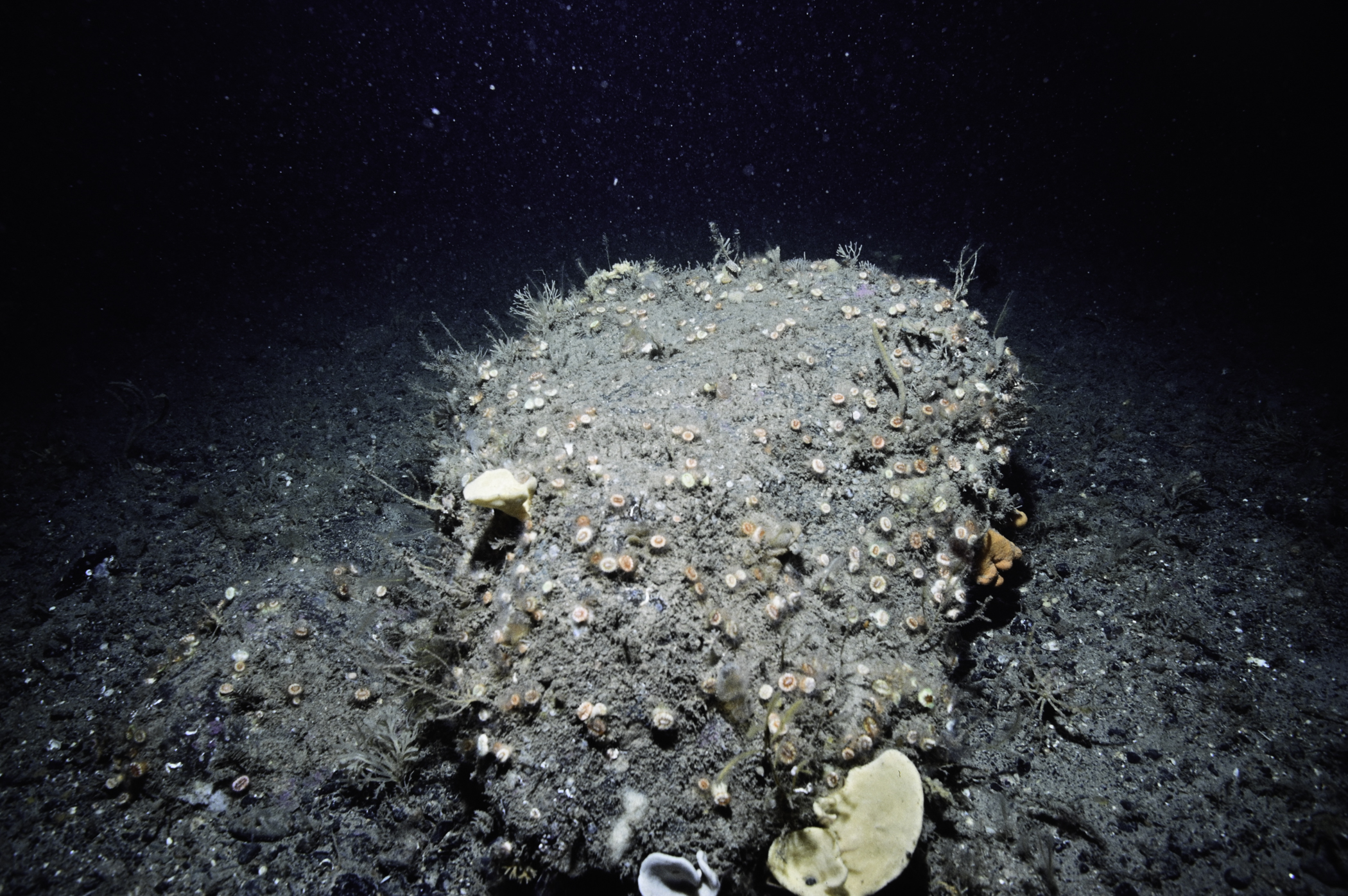
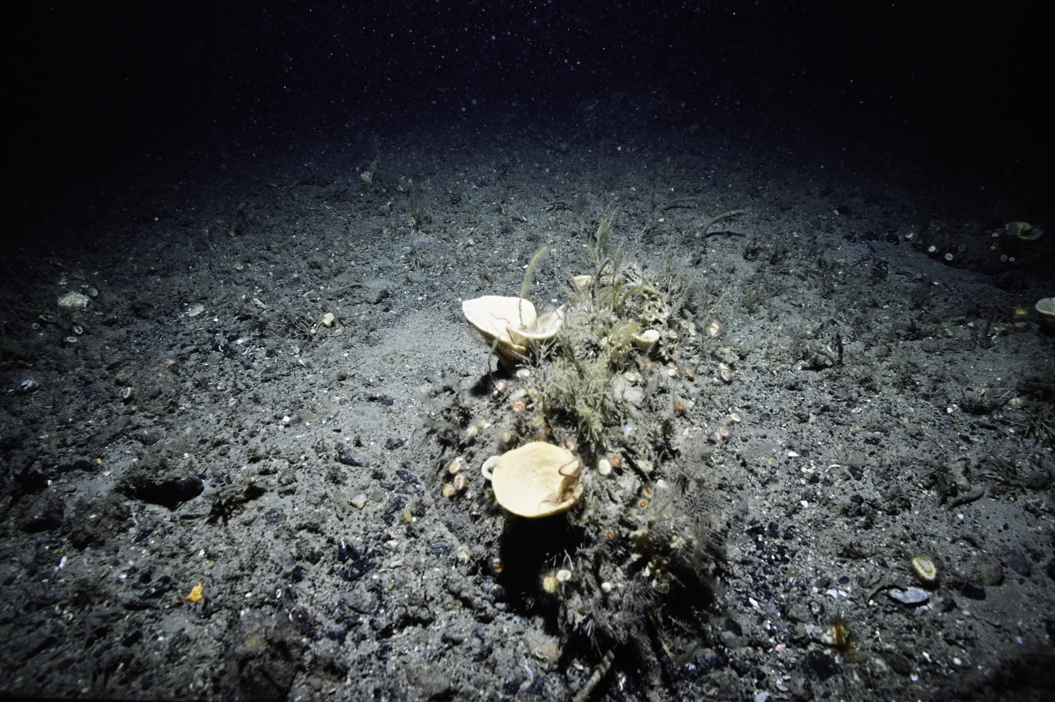
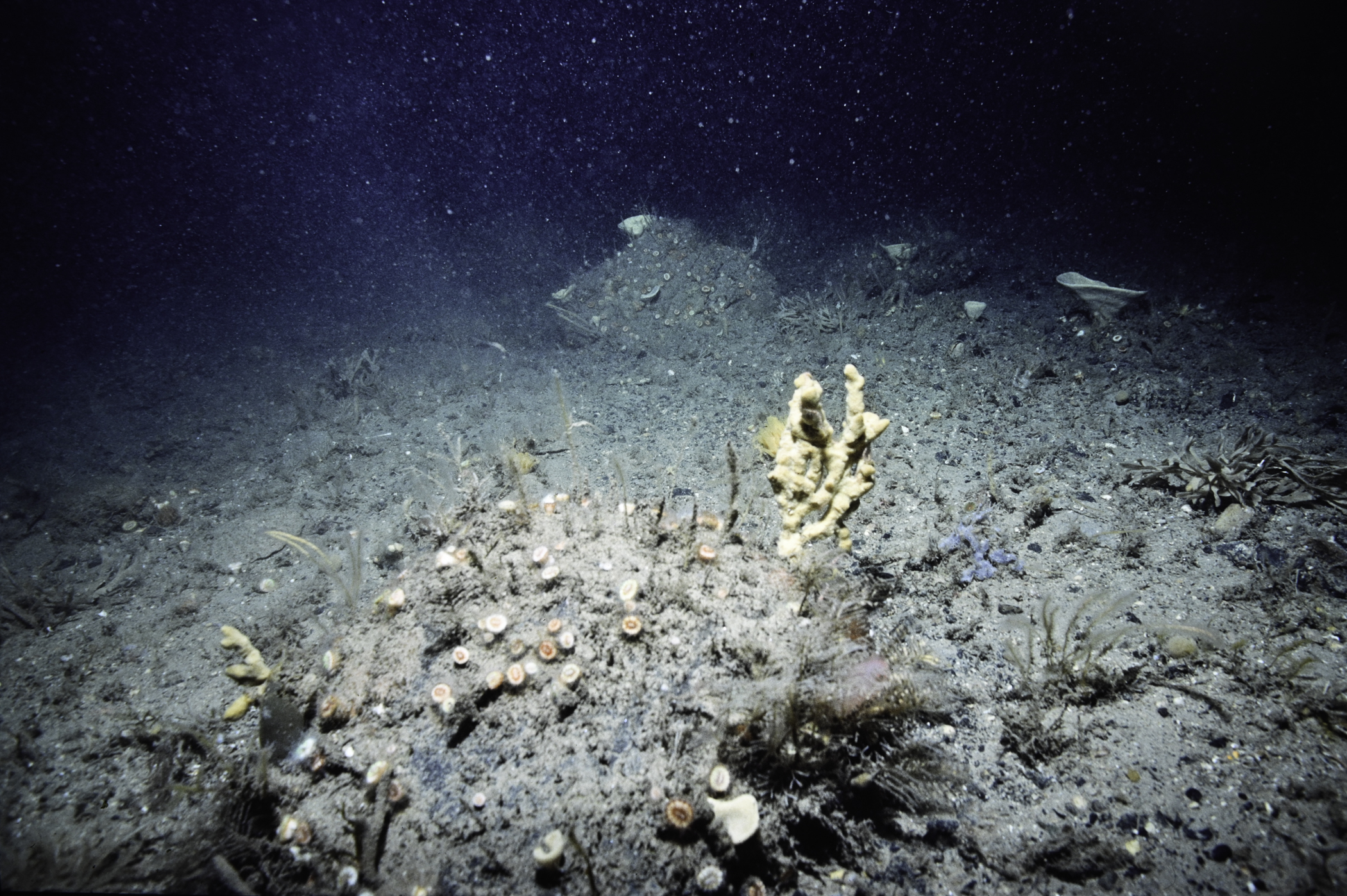
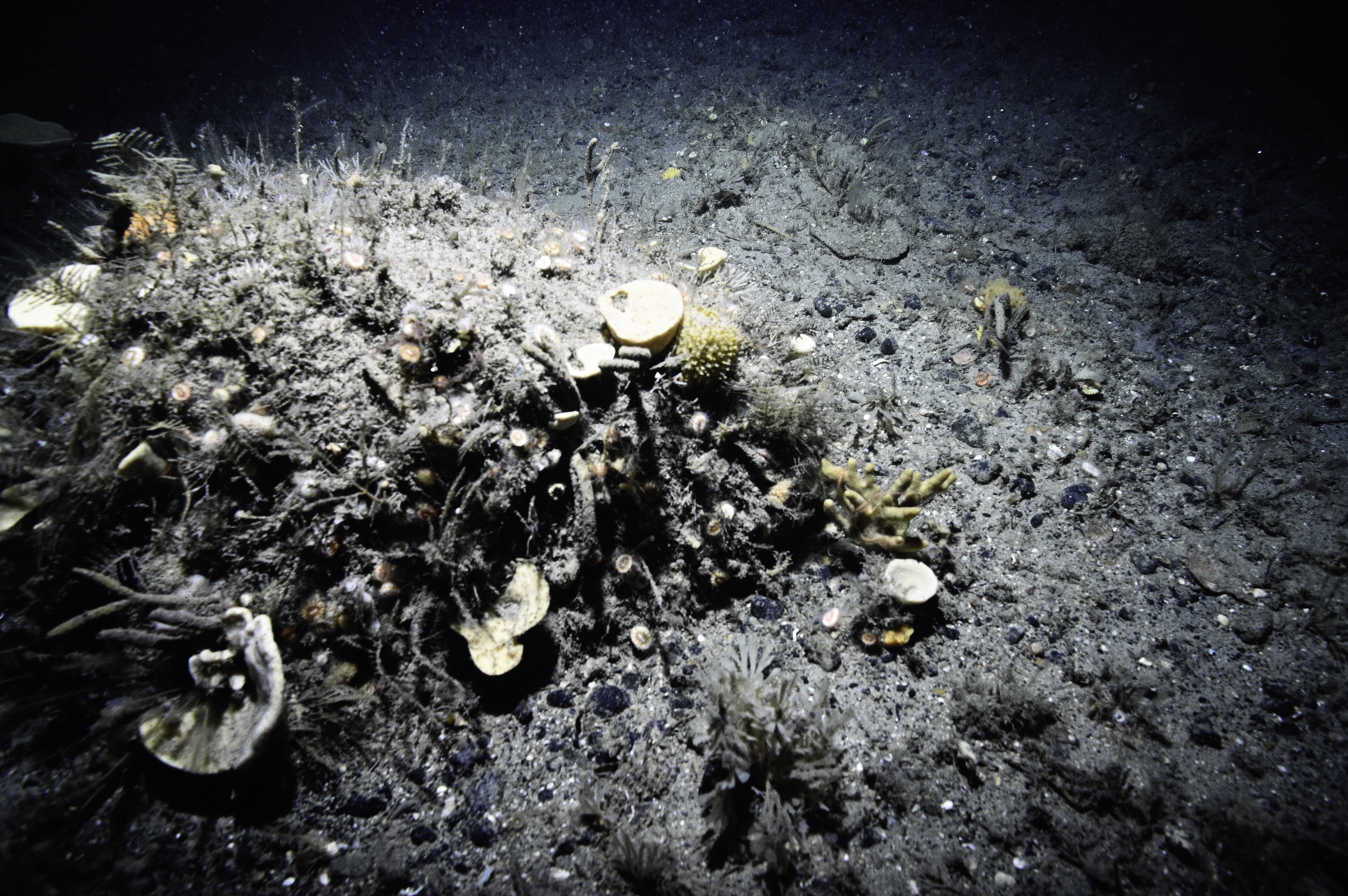
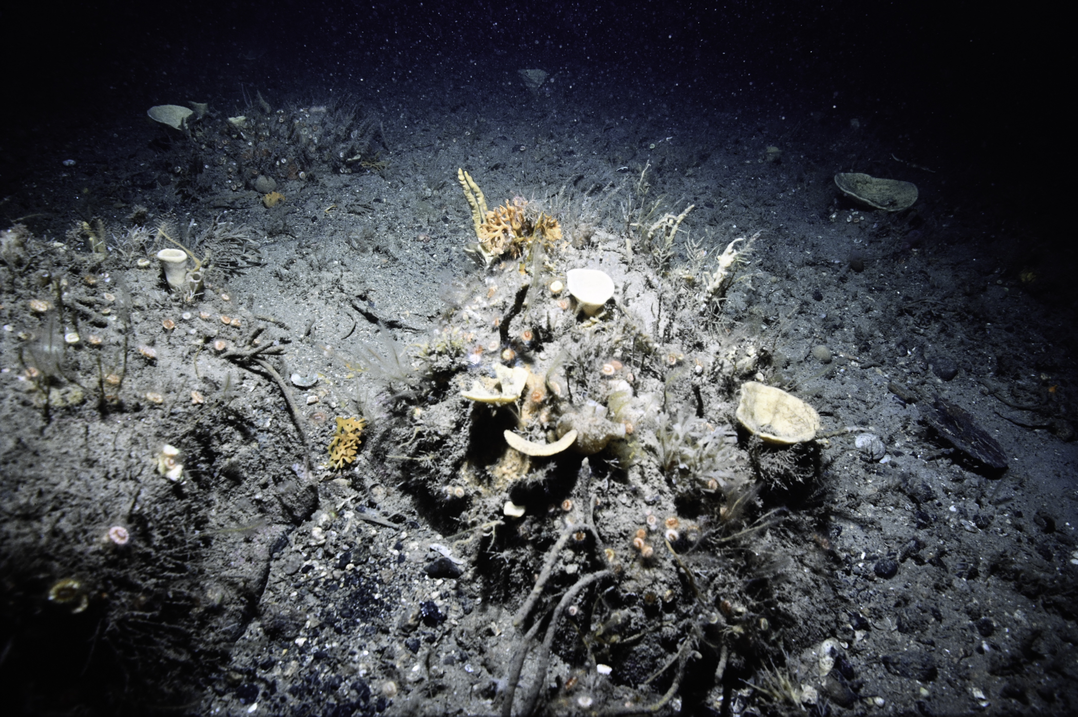
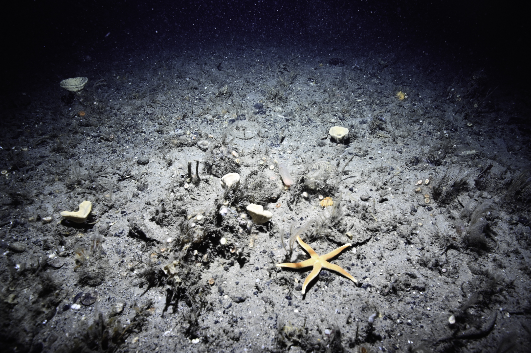
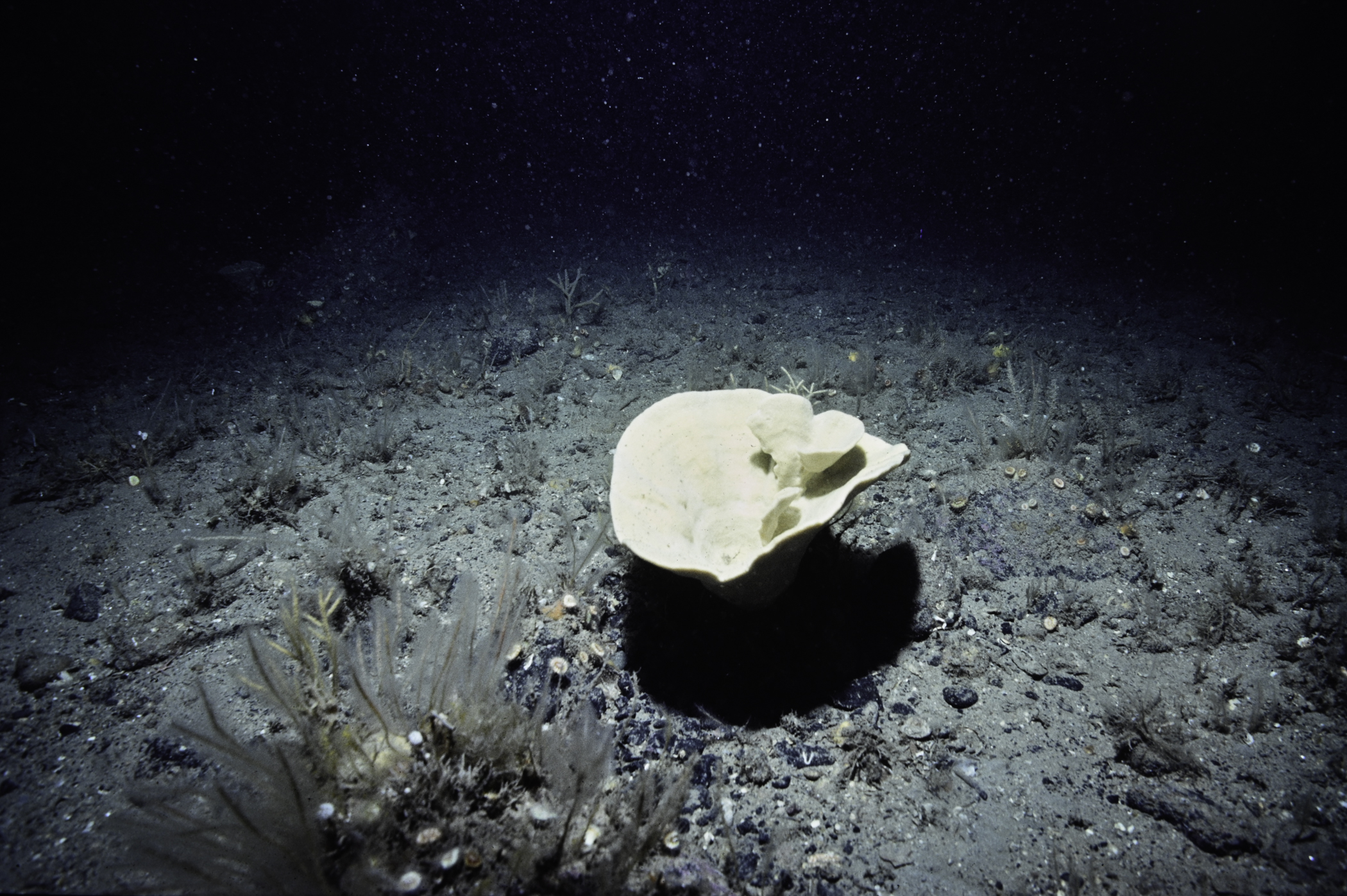
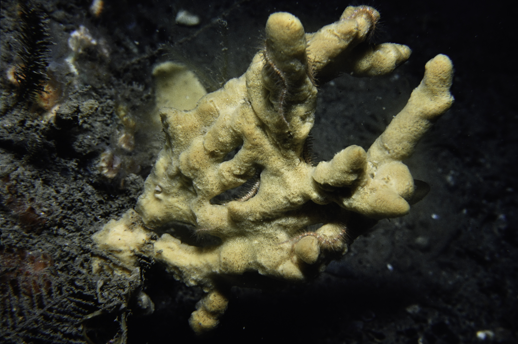
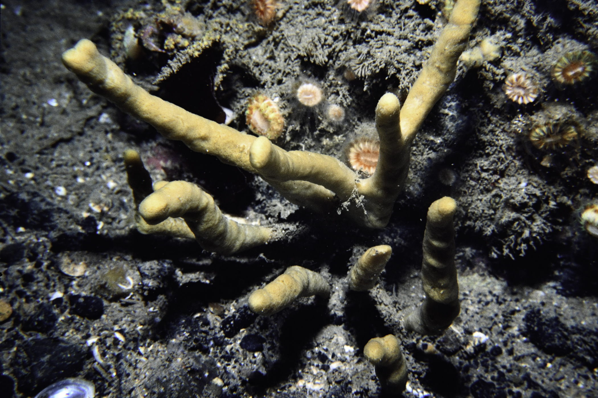
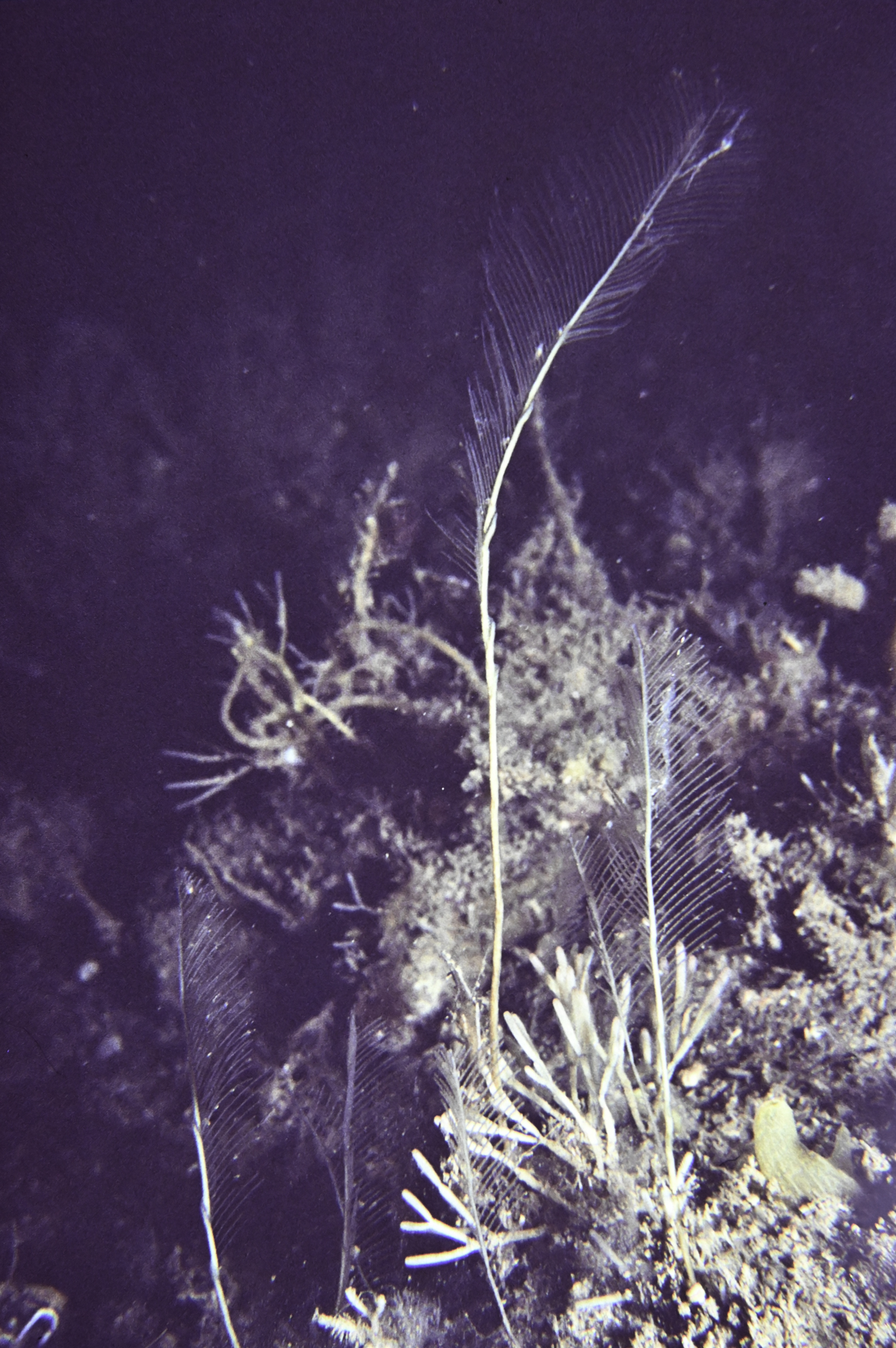
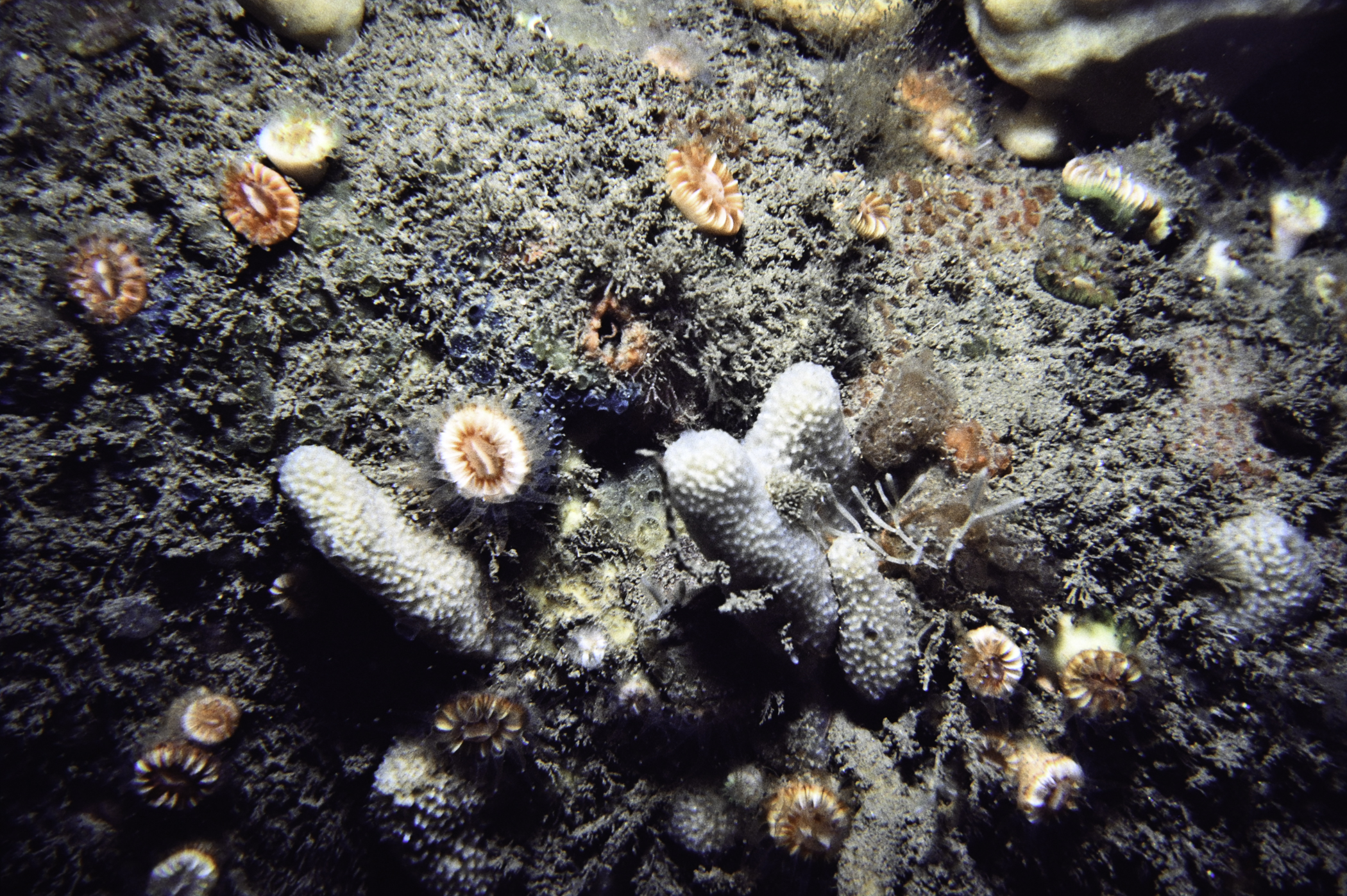
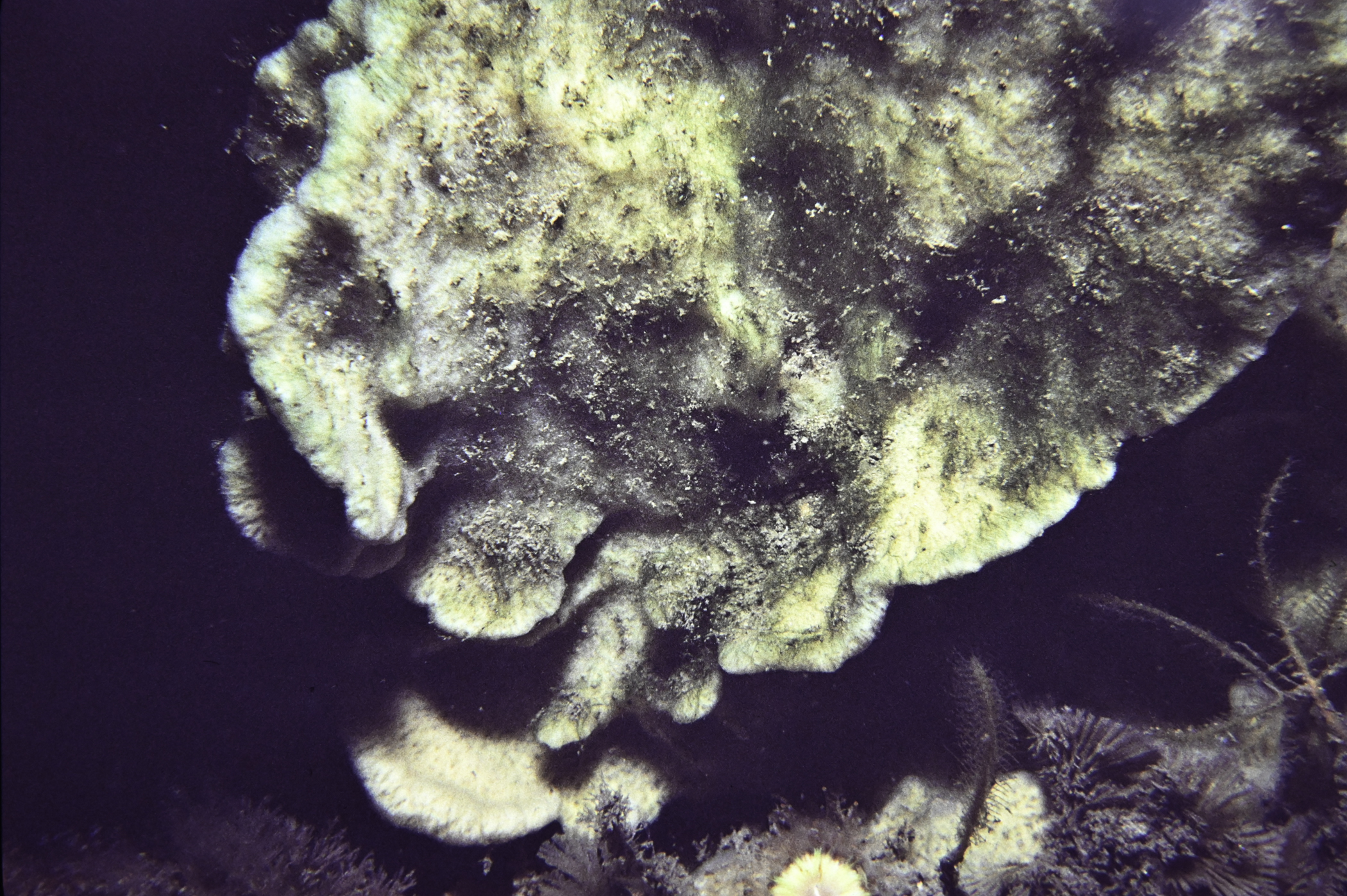
Site Description: Muddy sand gravel with scattered cobbles and boulders. Axinella infundibuliformis abundant and very large A polypoides common. Stable sea-bed.
Species list (48 species recorded):
PORIFERA
Dysidea fragilis
Axinella dissimilis
Axinella infundibuliformis
Raspailia hispida
Polymastia boletiformis
Tethya citrina
Iophon hyndmani
Hymedesmia sp.
Clathria barleei
Halichondria bowerbanki
Suberites carnosus
Haliclona urceolus
CNIDARIA
Diphasia alata
Diphasia margareta
Sertularella gayi
Halopteris catharina
Nemertesia antennina
Nemertesia ramosa
Polyplumaria flabellata
Schizotricha frutescens
Aglaophenia tubulifera
Lytocarpia myriophyllum
Alcyonium digitatum
Caryophyllia smithii
ANNELIDA
Chaetopterus variopedatus
CRUSTACEA
Munida rugosa
Inachus leptochirus
MOLLUSCA
Calliostoma zizyphinum
Polycera faeroensis
Eubranchus tricolor
Pecten maximus
BRYOZOA
Flustra foliacea
Securiflustra securifrons
Crisularia plumosa
Cellaria fistulosa
Cellaria sinuosa
Porella compressa
Parasmittina trispinosa
ECHINODERMATA
Antedon petasus
Porania pulvillus
Henricia oculata
Marthasterias glacialis
Ophiothrix fragilis
Ophiura ophiura
TUNICATA
Corella parallelogramma
Ascidia mentula
Polycarpa pomaria
PISCES
Trisopterus minutus
No biotope record.
PORIFERA
Dysidea fragilis P
Axinella dissimilis P
Axinella infundibuliformis P
Raspailia hispida P
Polymastia boletiformis P
Tethya citrina P
Iophon hyndmani P
Hymedesmia sp. P
Clathria barleei P
Halichondria bowerbanki P
Suberites carnosus P
Haliclona urceolus P
CNIDARIA
Diphasia alata P
Diphasia margareta P
Sertularella gayi P
Halopteris catharina P
Nemertesia antennina P
Nemertesia ramosa P
Polyplumaria flabellata P
Schizotricha frutescens P
Aglaophenia tubulifera P
Lytocarpia myriophyllum P
Alcyonium digitatum P
Caryophyllia smithii P
ANNELIDA
Chaetopterus variopedatus P
CRUSTACEA
Munida rugosa P
Inachus leptochirus P
MOLLUSCA
Calliostoma zizyphinum P
Polycera faeroensis P
Eubranchus tricolor P
Pecten maximus P
BRYOZOA
Flustra foliacea P
Securiflustra securifrons P
Crisularia plumosa P
Cellaria fistulosa P
Cellaria sinuosa P
Porella compressa P
Parasmittina trispinosa P
ECHINODERMATA
Antedon petasus P
Porania pulvillus P
Henricia oculata P
Marthasterias glacialis P
Ophiothrix fragilis P
Ophiura ophiura P
TUNICATA
Corella parallelogramma P
Ascidia mentula P
Polycarpa pomaria P
PISCES
Trisopterus minutus P
| Previous site | Next site |
