Marine Biodiversity Data Portal - NI
Rue Point, Rathlin Island.
Survey number: 550 Event number: 19840808/06 Date: 1984-08-08 GPS: 55.25667,-6.19133 [ View map ]
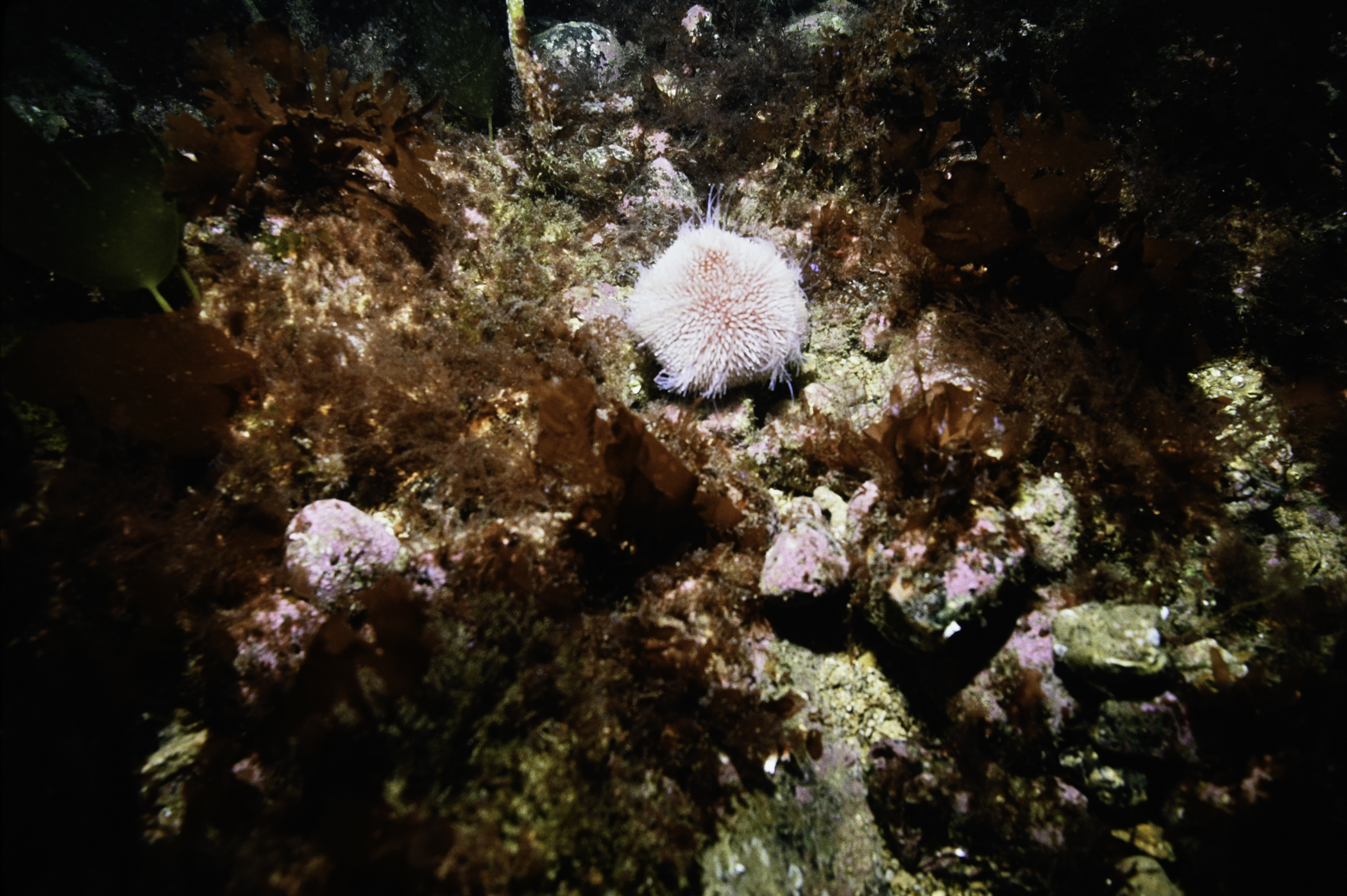
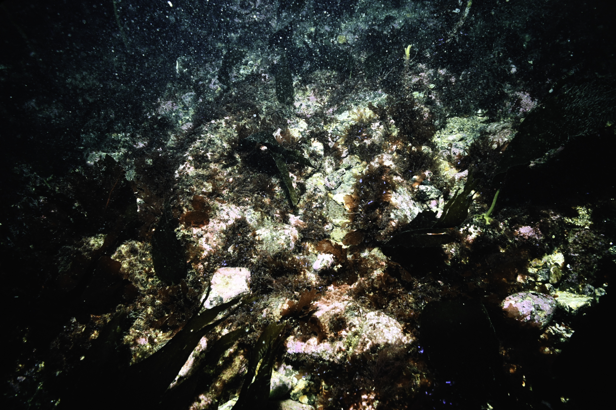
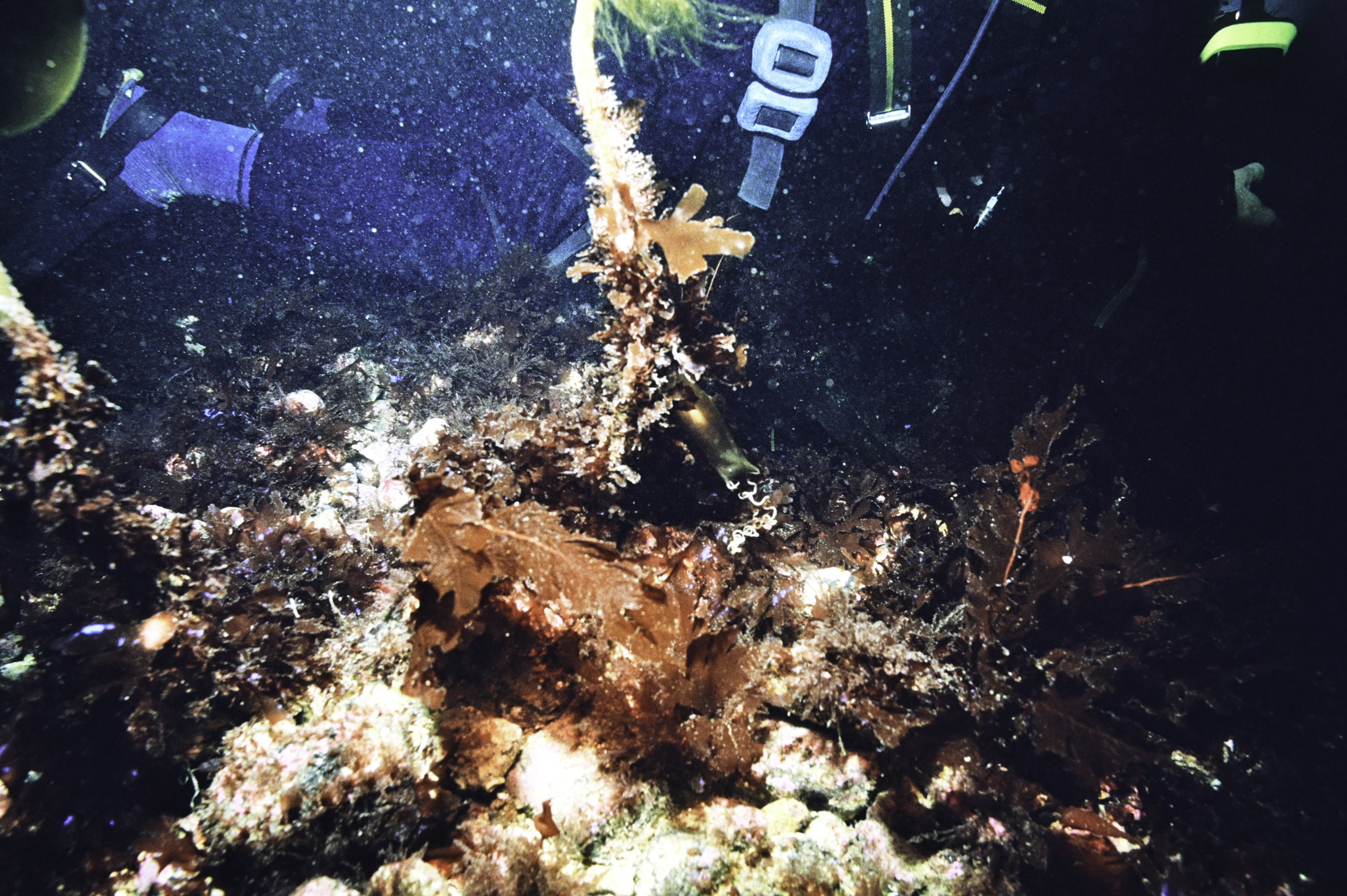
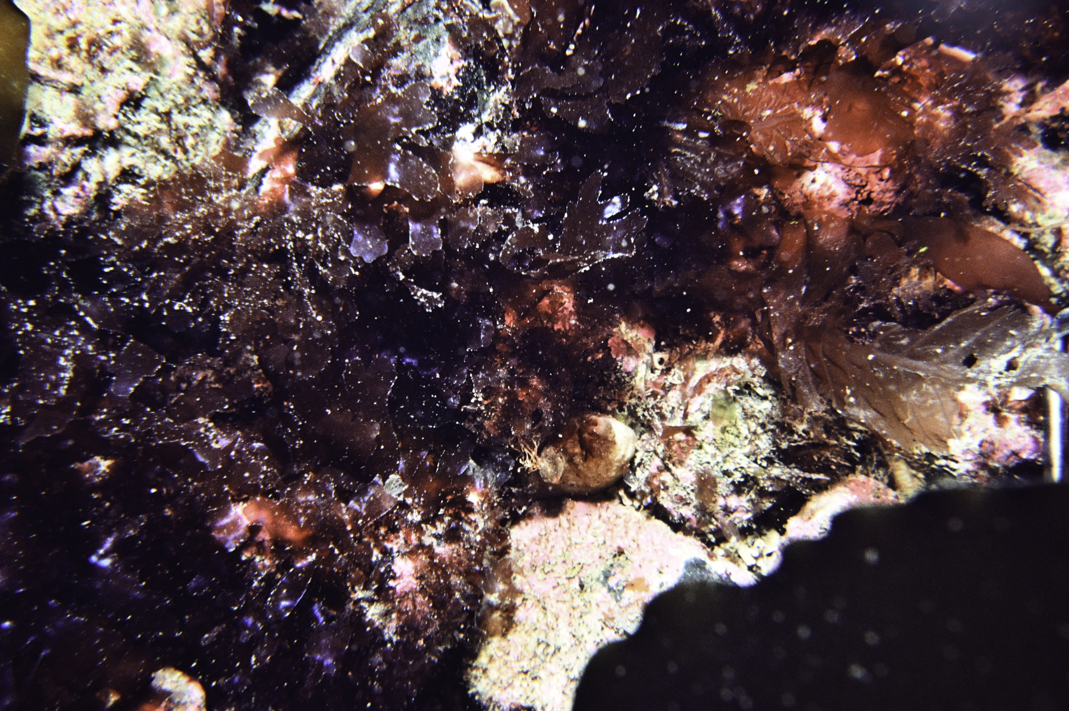
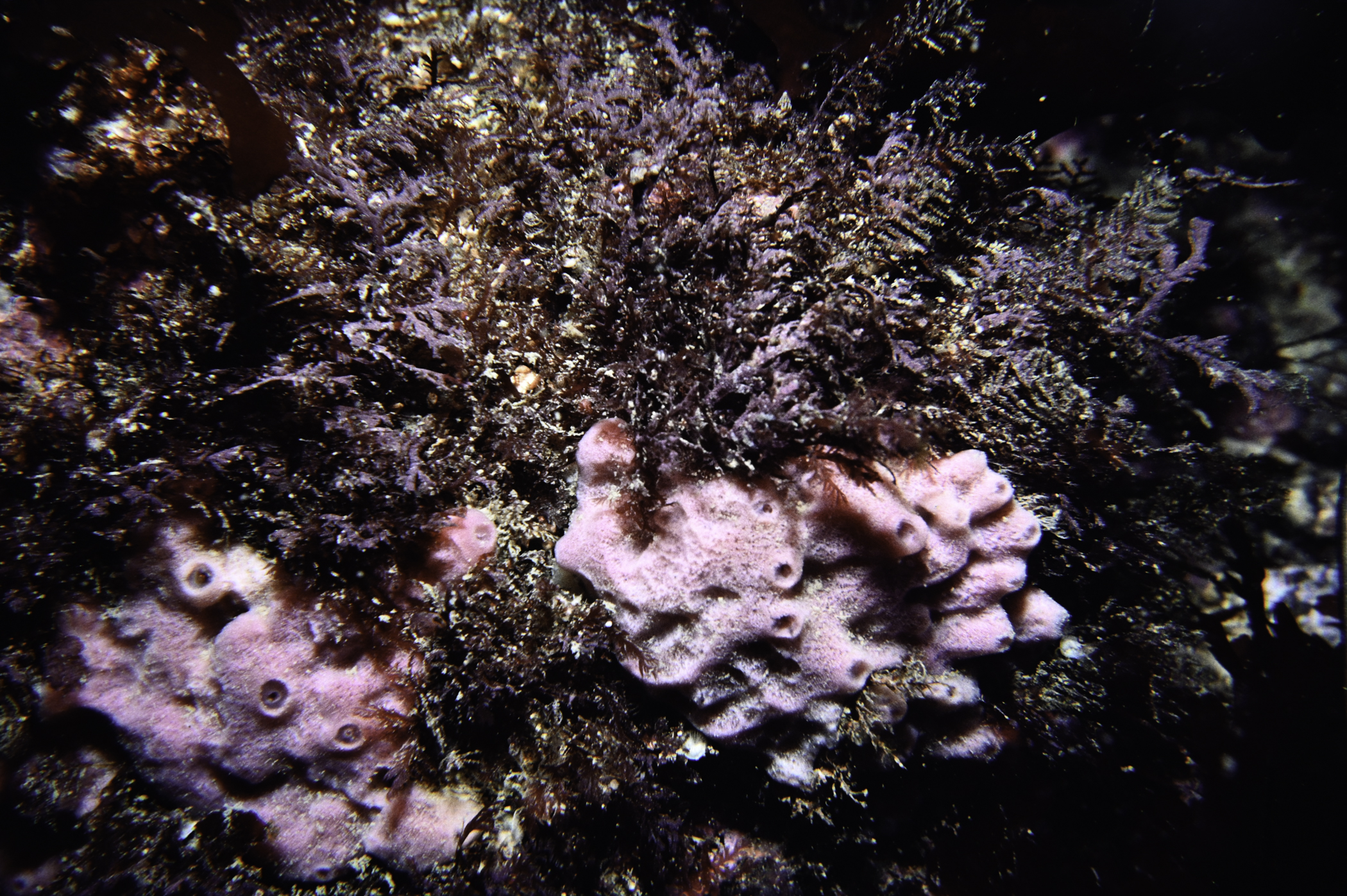
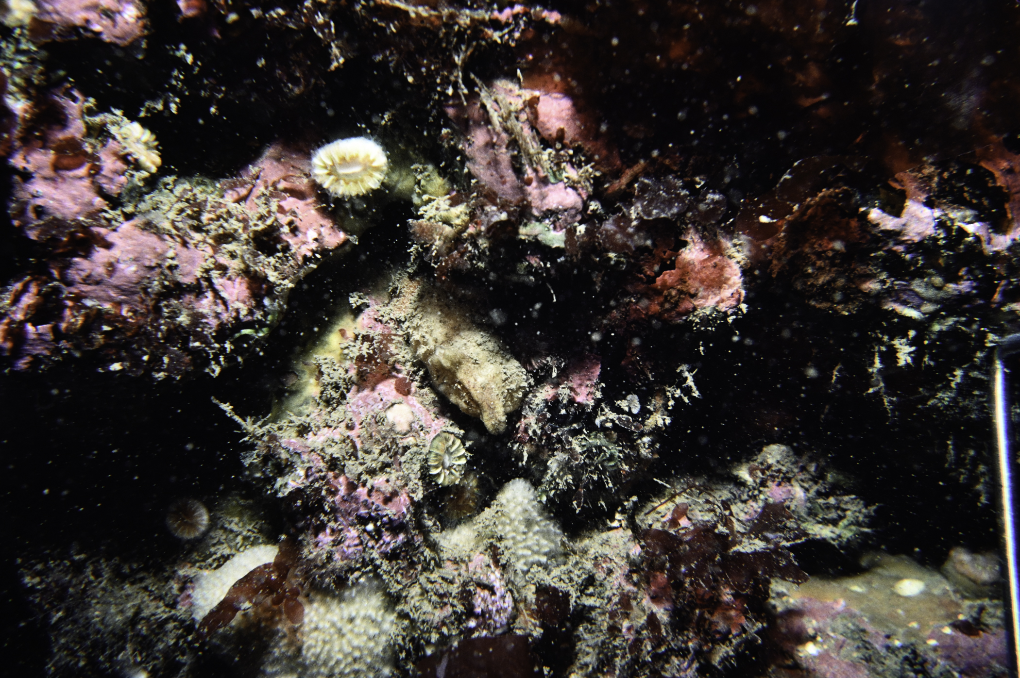
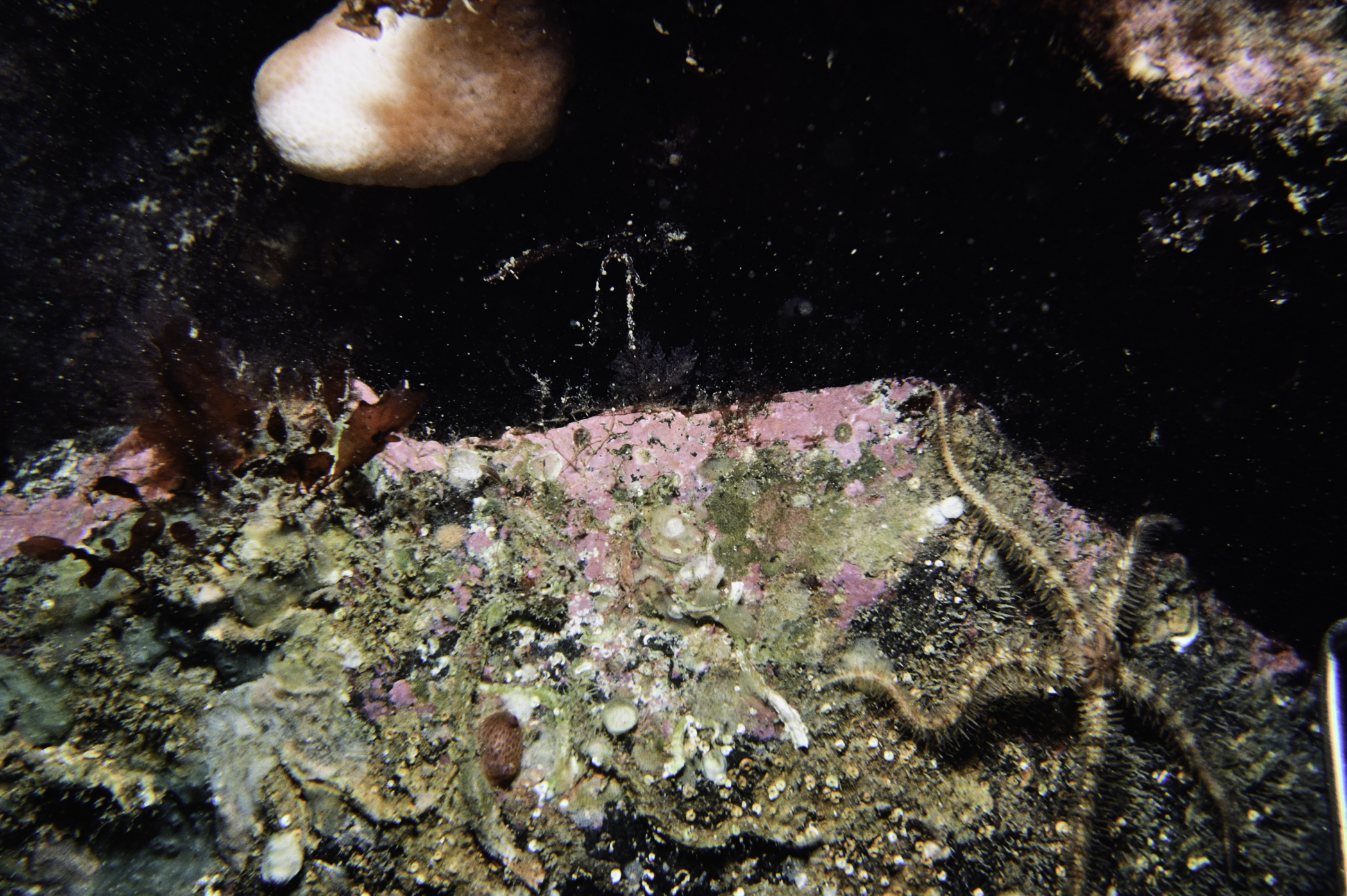
Site Description: Boulder /cobble plain with some bedrock. Undulating topography. Small L. hyperborea plants. Lots of Echinus.
Species list (60 species recorded):
PORIFERA
Aplysilla sulfurea
Dysidea fragilis
Pachymatisma johnstonia
Axinella infundibuliformis
Stelligera montagui
Haliclona viscosa
CNIDARIA
Tubularia indivisa
Sertularella gayi
Sertularia argentea
Halopteris catharina
Nemertesia antennina
Obelia geniculata
Alcyonium digitatum
Actinothoe sphyrodeta
Caryophyllia smithii
ANNELIDA
Alentia gelatinosa
CRUSTACEA
Galathea nexa
Galathea strigosa
Cancer pagurus
Necora puber
MOLLUSCA
Leptochiton asellus
Gibbula (Colliculus) tumida
Steromphala cineraria
Calliostoma zizyphinum
Eubranchus tricolor
Talochlamys pusio
BRYOZOA
Membranipora membranacea
Electra pilosa
Parasmittina trispinosa
ECHINODERMATA
Henricia oculata
Asterias rubens
Marthasterias glacialis
Echinus esculentus
TUNICATA
Ascidia conchilega
Ascidia mentula
Polycarpa pomaria
Botryllus schlosseri
Boltenia echinata
Pyura squamulosa
Pyura tessellata
RHODOPHYTA
Bonnemaisonia asparagoides
Bonnemaisonia intricata
Calliblepharis ciliata
Rhodophyllis werneri
Dilsea carnosa
Metacallophyllis laciniata
Kallymenia reniformis
Phyllophora crispa
Plocamium cartilagineum
Lomentaria orcadensis
Rhodymenia pseudopalmata
Compsothamnion thuyoides
Halurus flosculosus
Acrosorium venulosum
Cryptopleura ramosa
Delesseria sanguinea
Nitophyllum punctatum
Phycodrys rubens
CHROMOPHYTA
Dictyota dichotoma
Laminaria hyperborea
No biotope record.
PORIFERA
Aplysilla sulfurea P
Dysidea fragilis P
Pachymatisma johnstonia P
Axinella infundibuliformis P
Stelligera montagui P
Haliclona viscosa P
CNIDARIA
Tubularia indivisa P
Sertularella gayi P
Sertularia argentea P
Halopteris catharina P
Nemertesia antennina P
Obelia geniculata P
Alcyonium digitatum P
Actinothoe sphyrodeta P
Caryophyllia smithii P
ANNELIDA
Alentia gelatinosa P
CRUSTACEA
Galathea nexa P
Galathea strigosa P
Cancer pagurus P
Necora puber P
MOLLUSCA
Leptochiton asellus P
Gibbula (Colliculus) tumida P
Steromphala cineraria P
Calliostoma zizyphinum P
Eubranchus tricolor P
Talochlamys pusio P
BRYOZOA
Membranipora membranacea P
Electra pilosa P
Parasmittina trispinosa P
ECHINODERMATA
Henricia oculata P
Asterias rubens P
Marthasterias glacialis P
Echinus esculentus P
TUNICATA
Ascidia conchilega P
Ascidia mentula P
Polycarpa pomaria P
Botryllus schlosseri P
Boltenia echinata P
Pyura squamulosa P
Pyura tessellata P
RHODOPHYTA
Bonnemaisonia asparagoides P
Bonnemaisonia intricata P
Calliblepharis ciliata P
Rhodophyllis werneri P
Dilsea carnosa P
Metacallophyllis laciniata P
Kallymenia reniformis P
Phyllophora crispa P
Plocamium cartilagineum P
Lomentaria orcadensis P
Rhodymenia pseudopalmata P
Compsothamnion thuyoides P
Halurus flosculosus P
Acrosorium venulosum P
Cryptopleura ramosa P
Delesseria sanguinea P
Nitophyllum punctatum P
Phycodrys rubens P
CHROMOPHYTA
Dictyota dichotoma P
Laminaria hyperborea P
| Previous site | Next site |
