Marine Biodiversity Data Portal - NI
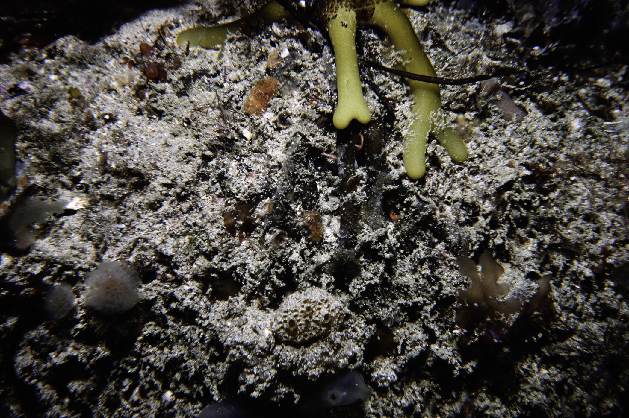
NW Rinagree Point, Portstewart.
Survey number: 550 Event number: 19840705/05 Date: 1984-07-05 GPS: 55.19667,-6.69450 [ View map ]
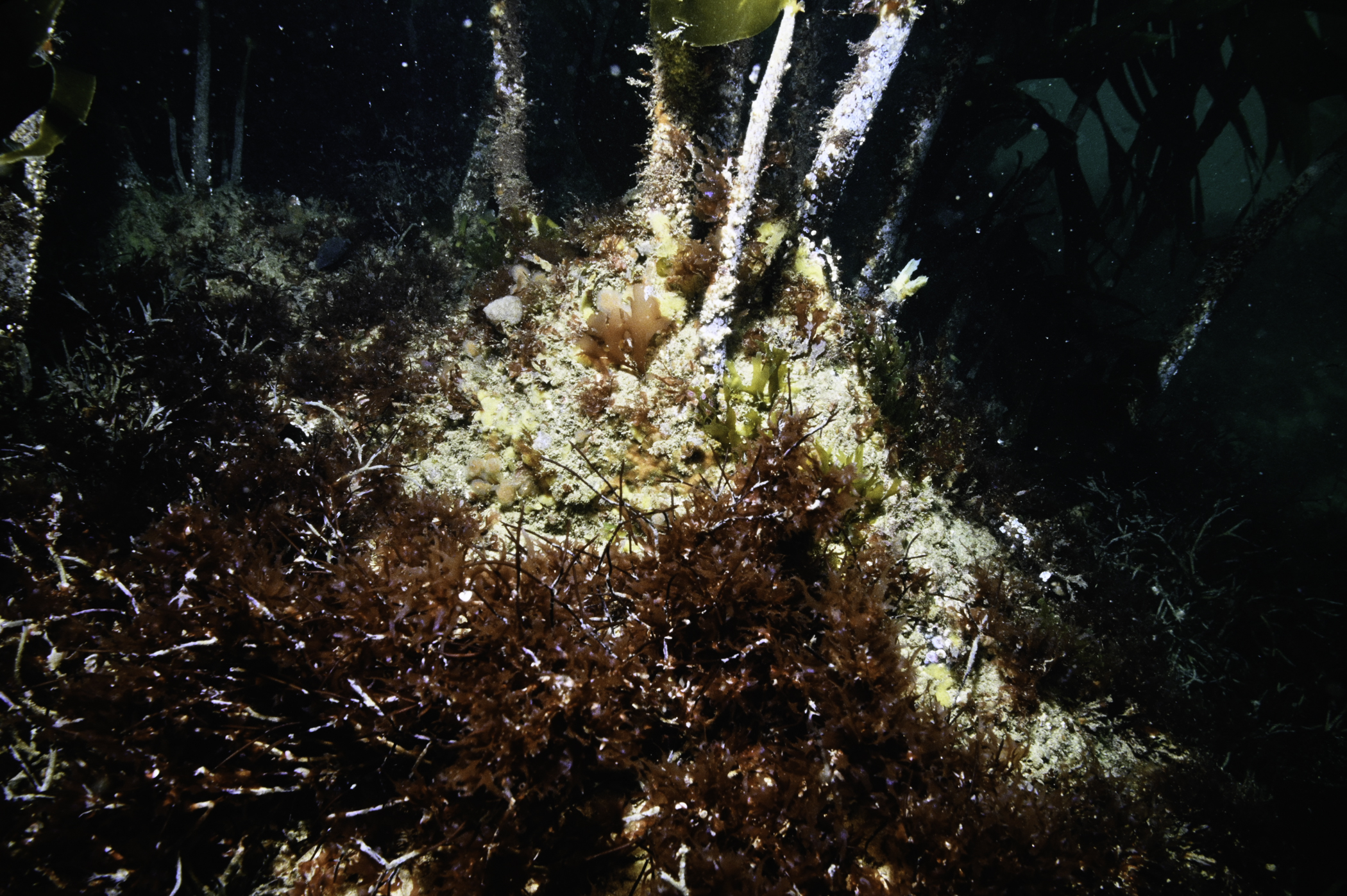
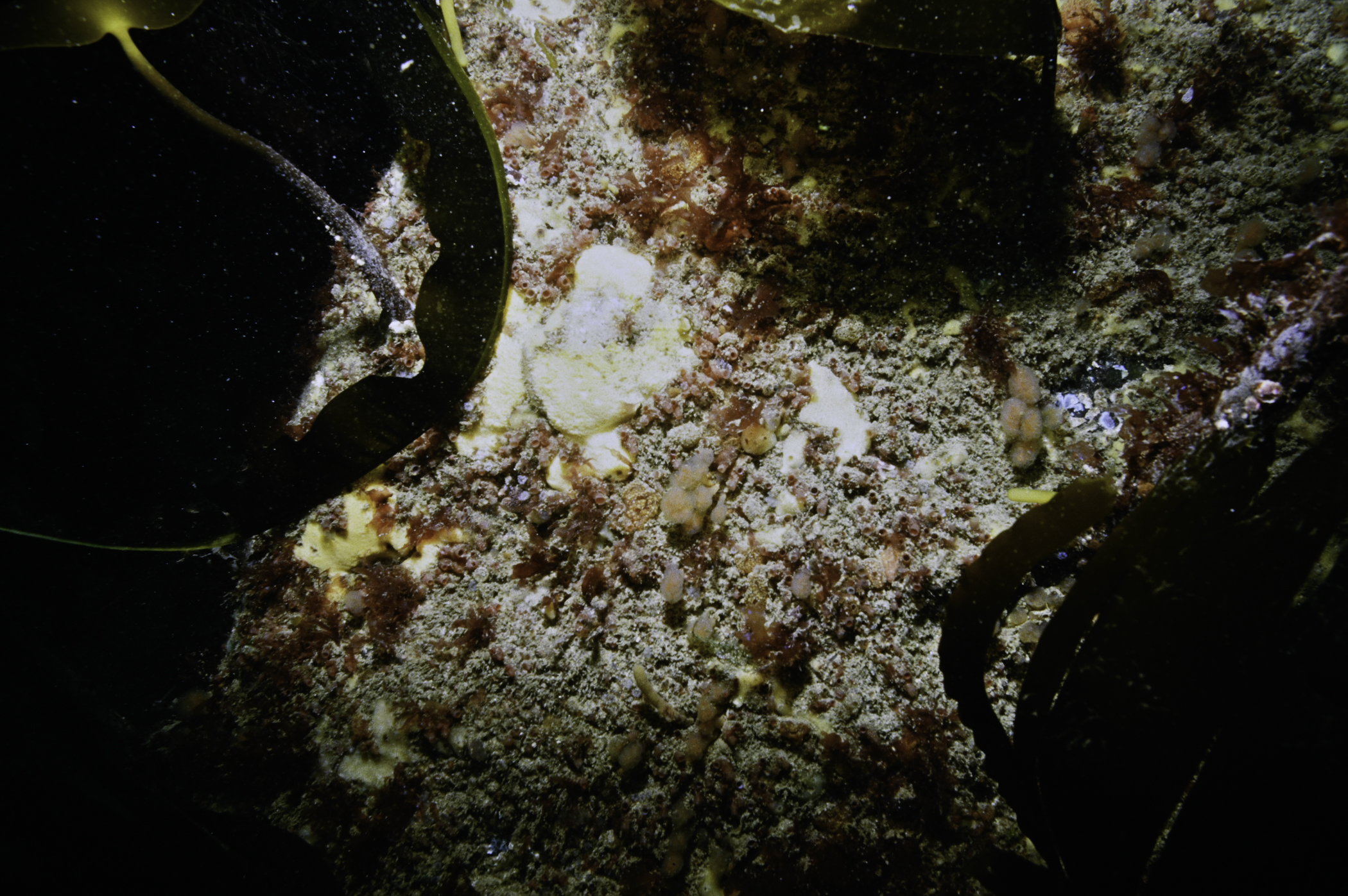
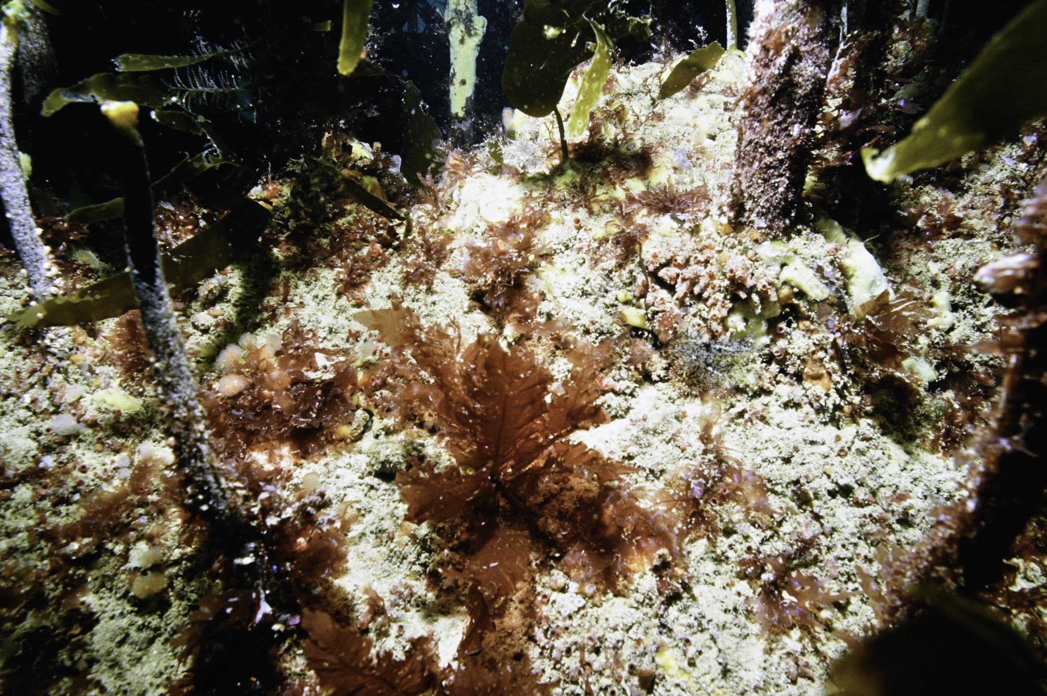
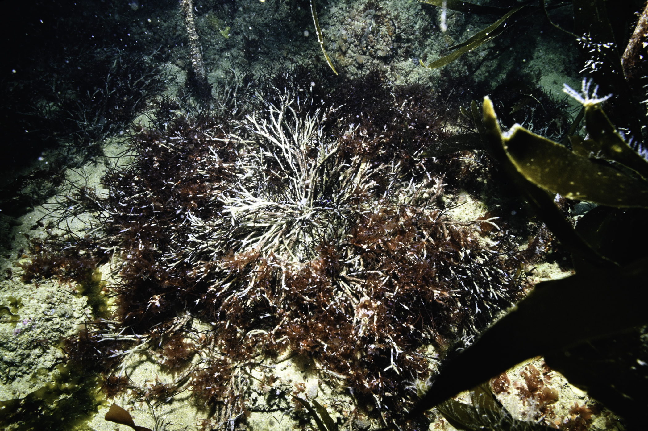
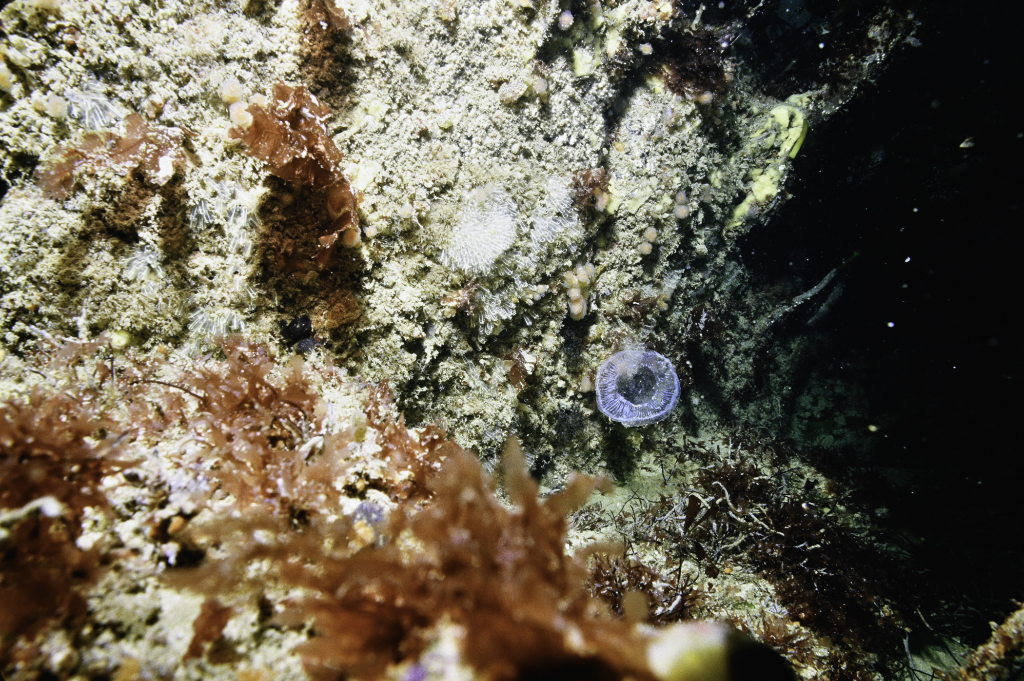
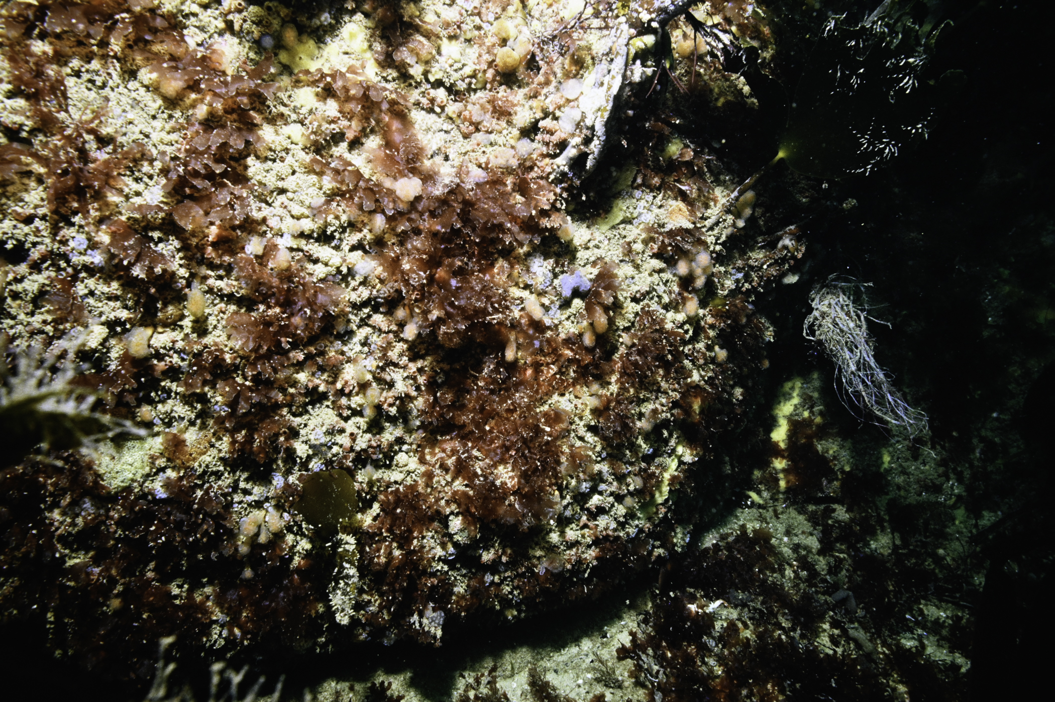
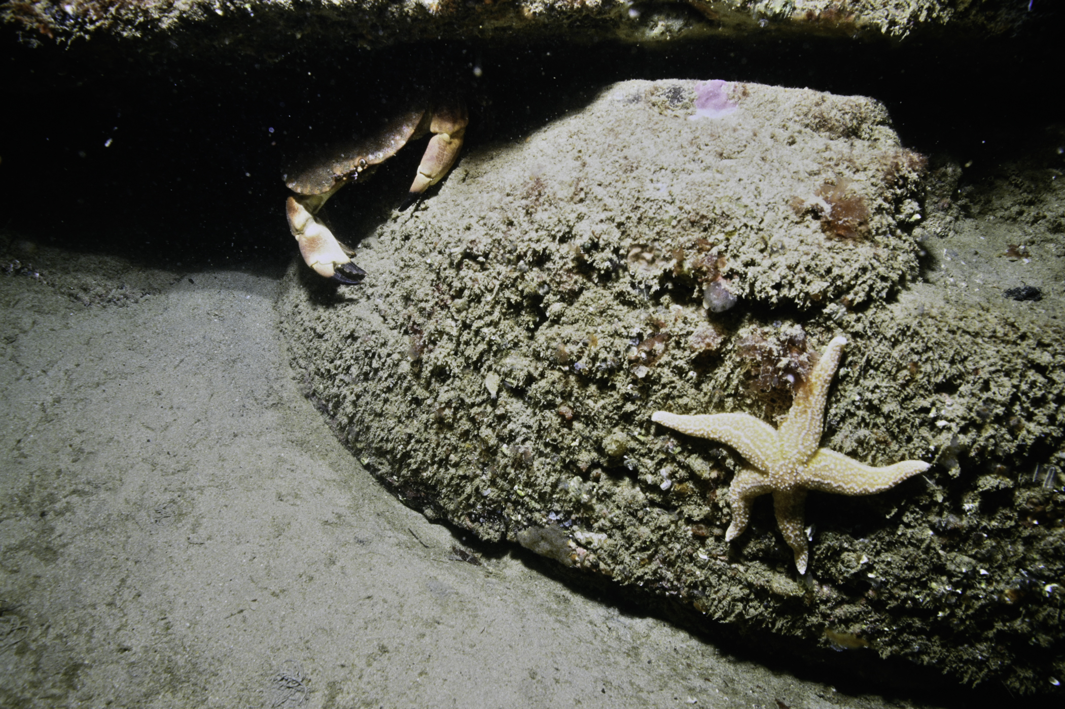
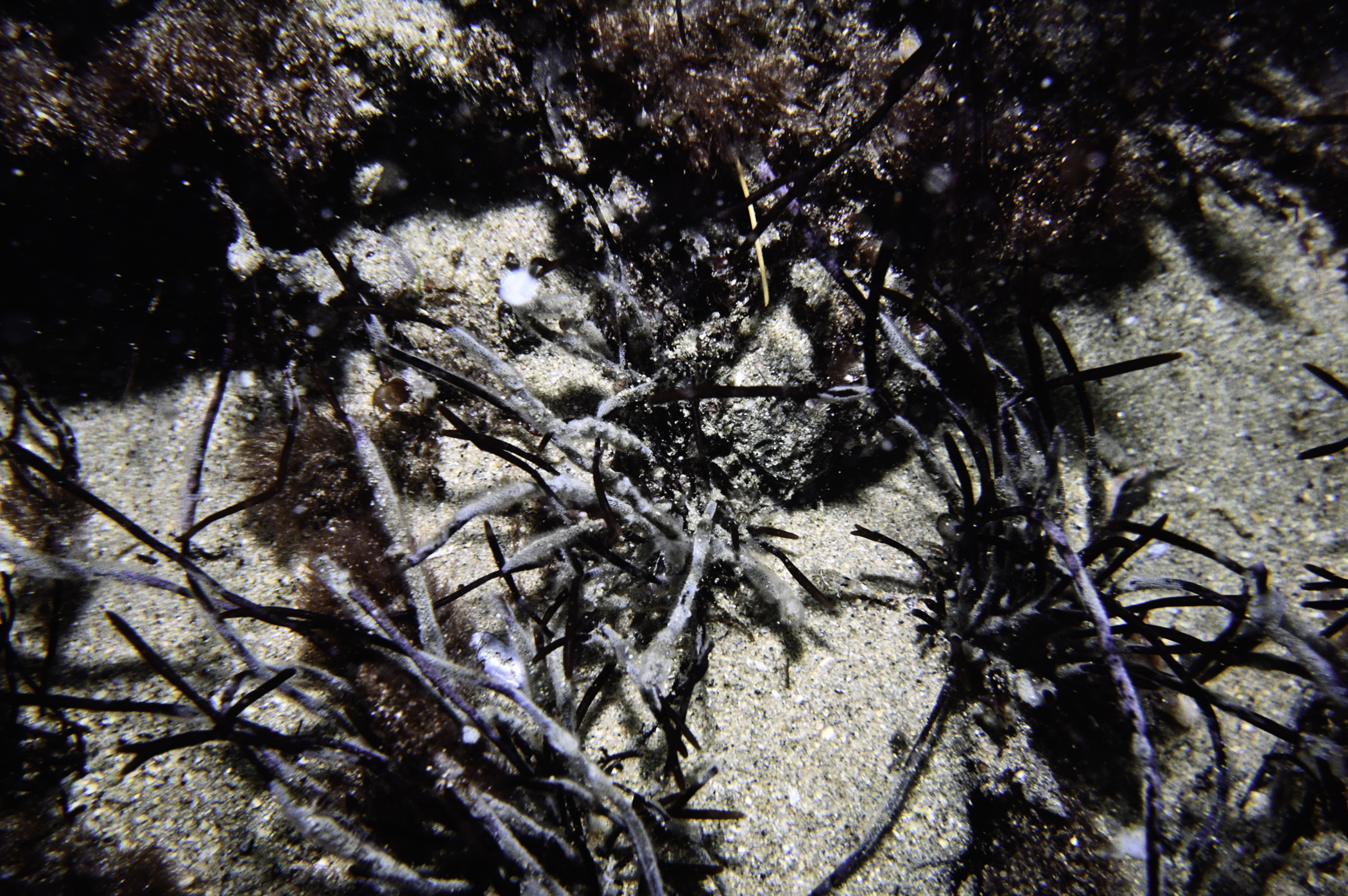
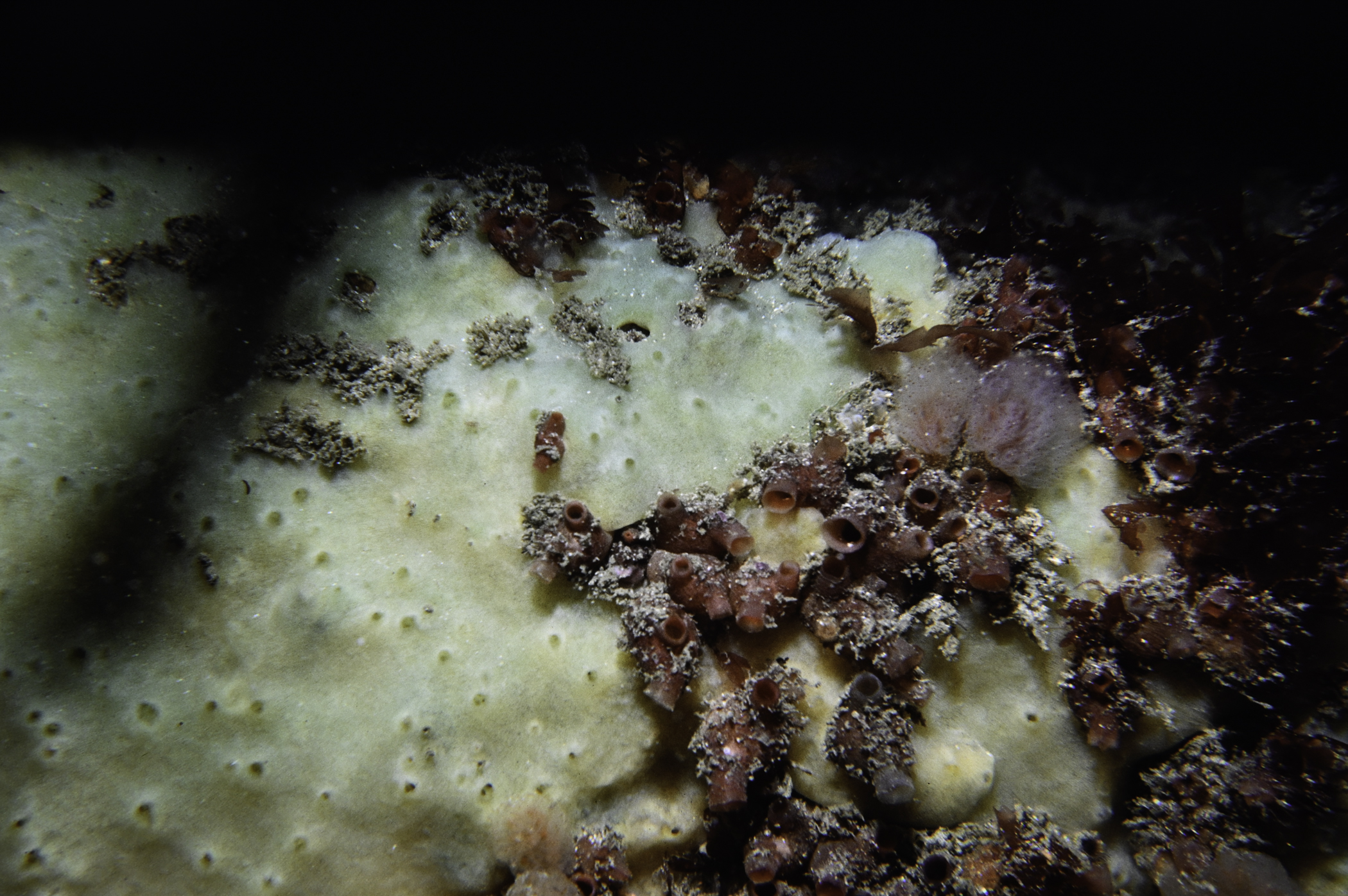
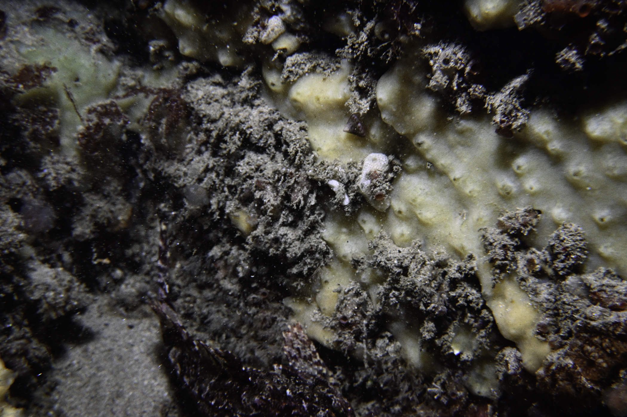
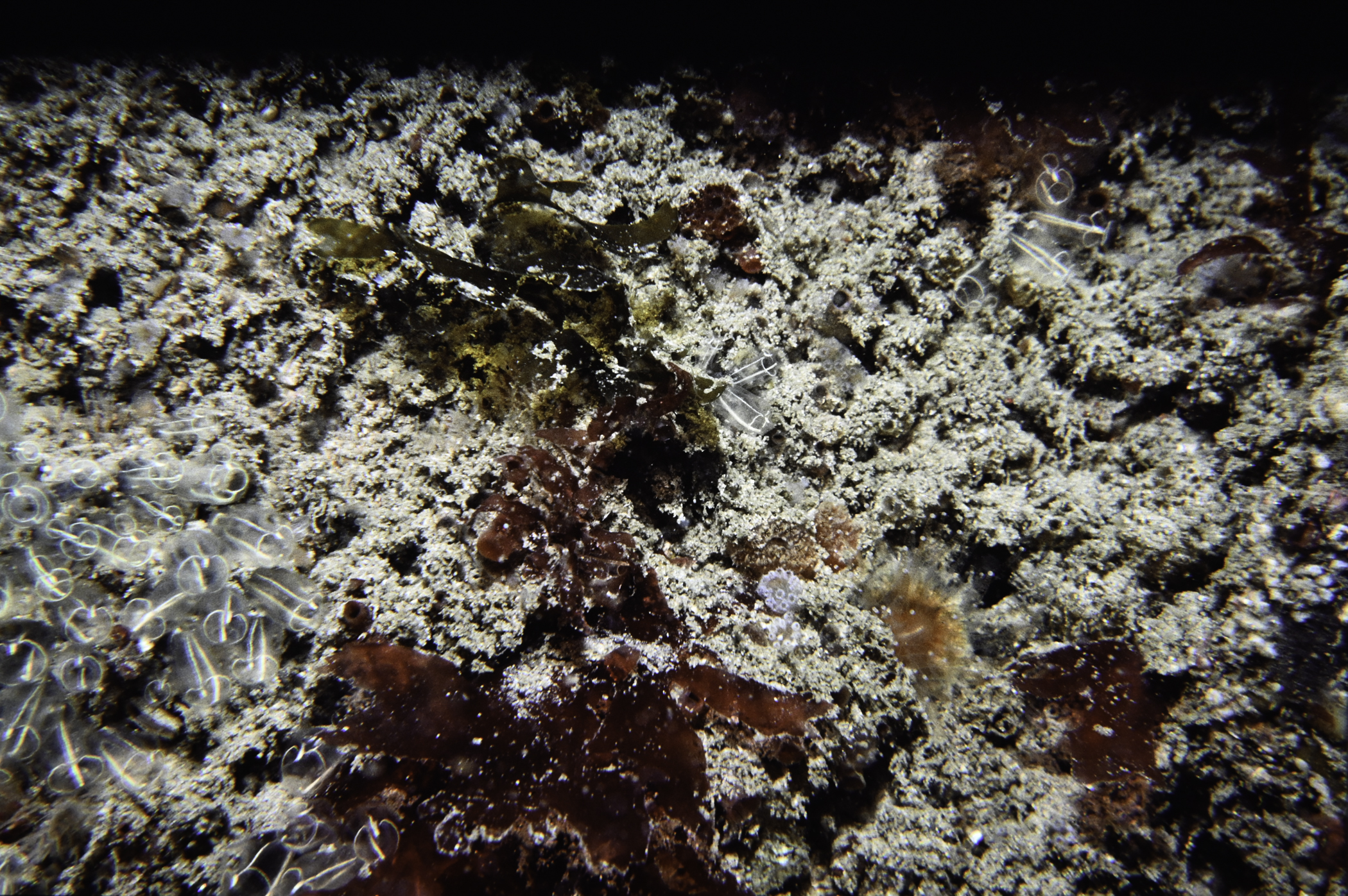
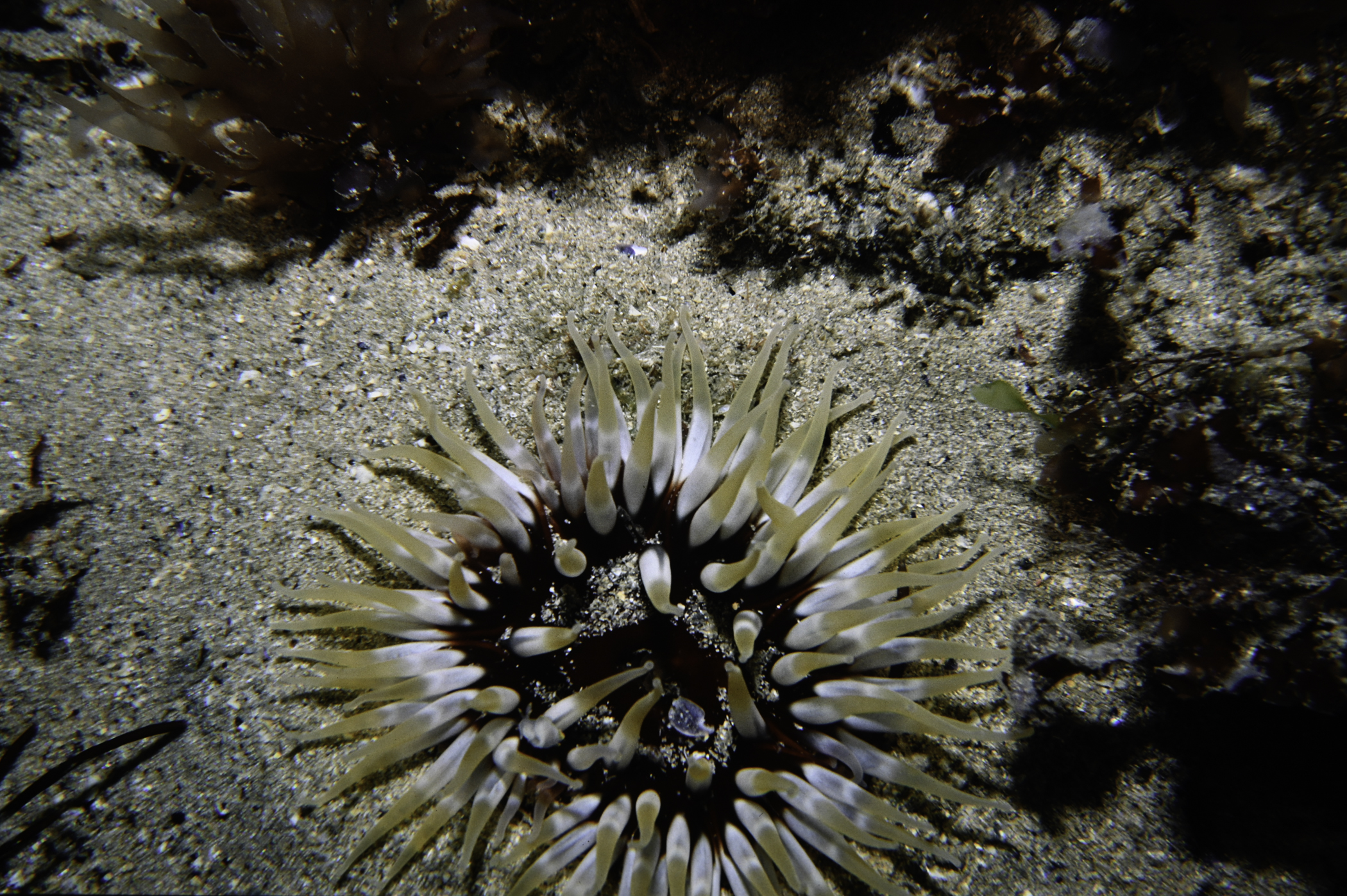
Site Description: Bedrock with vertical faces and fissures with pockets of sand and area lying inshore of barren sand in deep water.
Species list (11 species recorded):
No biotope record.
ANNELIDA
Harmothoe impar P
Nereimyra punctata P
Sabellaria spinulosa P
Thelepus setosus P
Jasmineira elegans P
CRUSTACEA
Pagurus pubescens P
TUNICATA
Polyclinum aurantium P
Polycarpa fibrosa P
Polycarpa scuba P
Molgula complanata P
RHODOPHYTA
Bonnemaisonia asparagoides P
Harmothoe impar P
Nereimyra punctata P
Sabellaria spinulosa P
Thelepus setosus P
Jasmineira elegans P
CRUSTACEA
Pagurus pubescens P
TUNICATA
Polyclinum aurantium P
Polycarpa fibrosa P
Polycarpa scuba P
Molgula complanata P
RHODOPHYTA
Bonnemaisonia asparagoides P
| Previous site | Next site |
