Marine Biodiversity Data Portal - NI
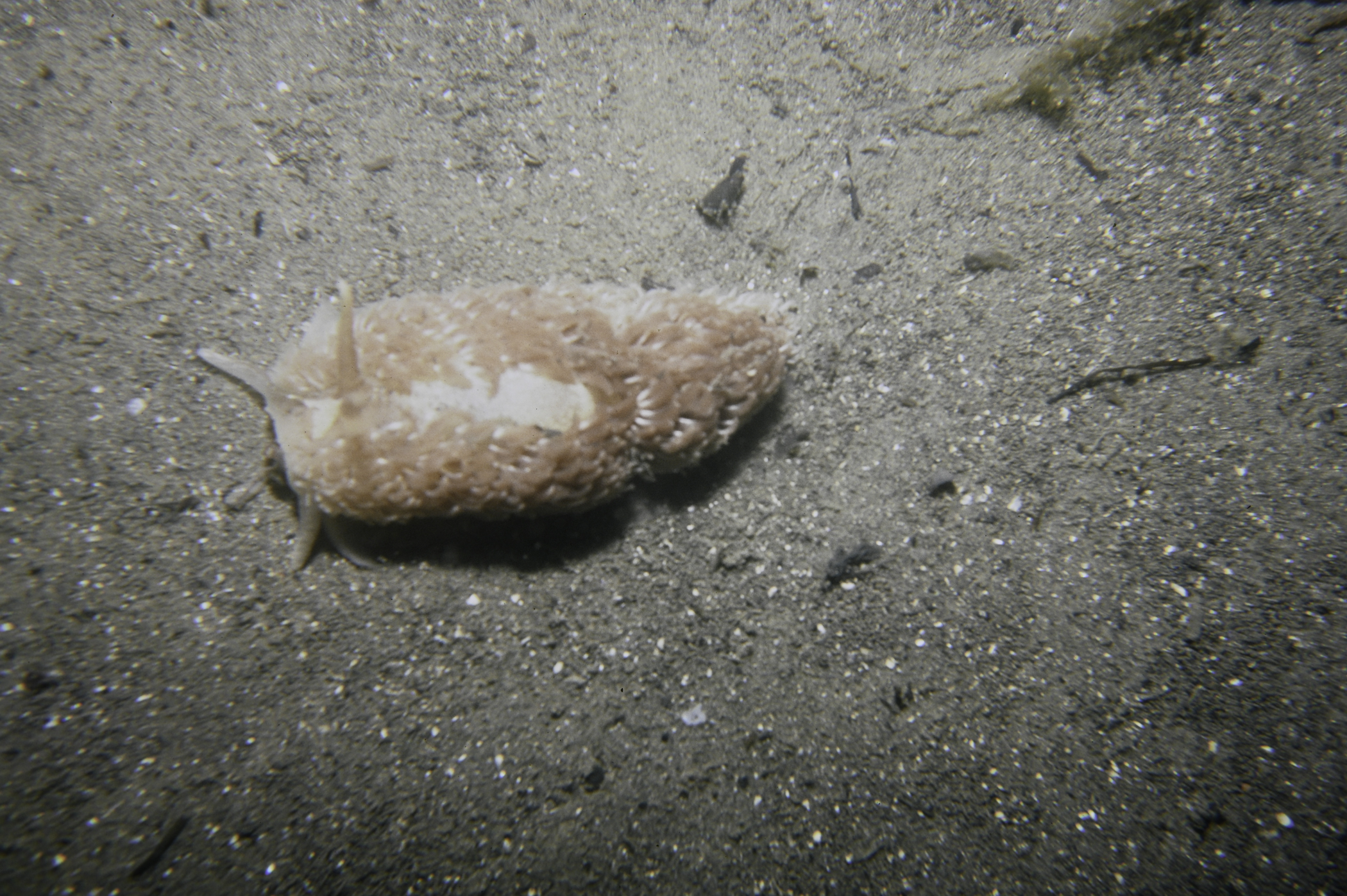
S of Green Island, Carlingford Lough.
Survey number: 550 Event number: 19840607/01 Date: 1984-06-07 GPS: 54.02383,-6.10750. Depth: -22.0 to -23.0 m. [ View map ]
Site Description: Area of soft mud with 6" deep rotting seaweed--area of muddy sand in small mounds. Very poor.
Species list (17 species recorded):
PORIFERA
Polymastia penicillus
Phorbas fictitius
Halichondria bowerbanki
ANNELIDA
Arenicola marina
CRUSTACEA
Pagurus bernhardus
Carcinus maenas
MOLLUSCA
Jorunna tomentosa
Aeolidia papillosa
ECHINODERMATA
Asterias rubens
TUNICATA
Clavelina lepadiformis
Morchellium argus
PISCES
Scyliorhinus canicula
Rajidae sp.
Agonus cataphractus
Pholis gunnellus
Callionymus lyra
RHODOPHYTA
Lomentaria clavellosa
No biotope record.
PORIFERA
Polymastia penicillus P
Phorbas fictitius P
Halichondria bowerbanki P
ANNELIDA
Arenicola marina P
CRUSTACEA
Pagurus bernhardus P
Carcinus maenas P
MOLLUSCA
Jorunna tomentosa P
Aeolidia papillosa P
ECHINODERMATA
Asterias rubens P
TUNICATA
Clavelina lepadiformis P
Morchellium argus P
PISCES
Scyliorhinus canicula P
Rajidae sp. P
Agonus cataphractus P
Pholis gunnellus P
Callionymus lyra P
RHODOPHYTA
Lomentaria clavellosa P
| Previous site | Next site |
