Marine Biodiversity Data Portal - NI
NE of Mahee Is, Strangford Lough.
Survey number: 550 Event number: 19830802/05 Date: 1983-08-02 GPS: 54.50850,-5.61833. Depth: -8.0 to -9.0 m. [ View map ]
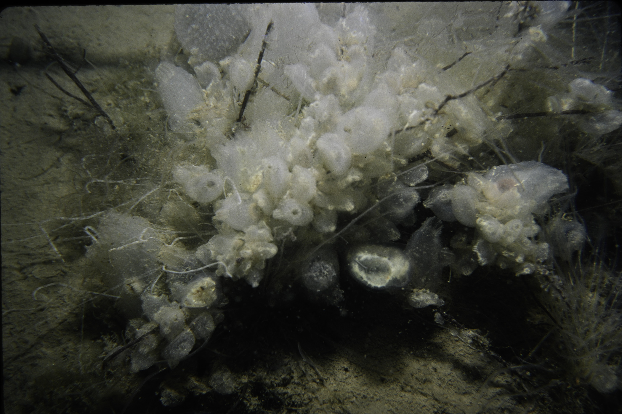
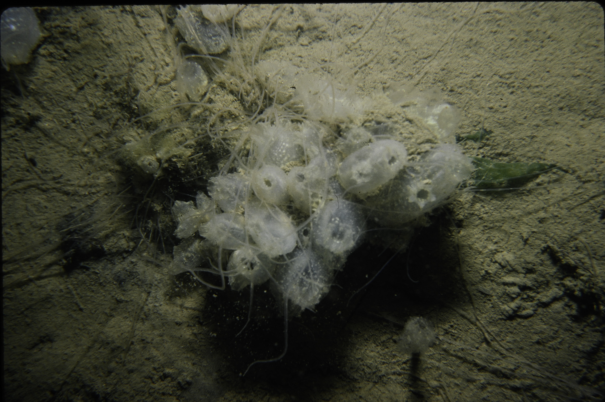
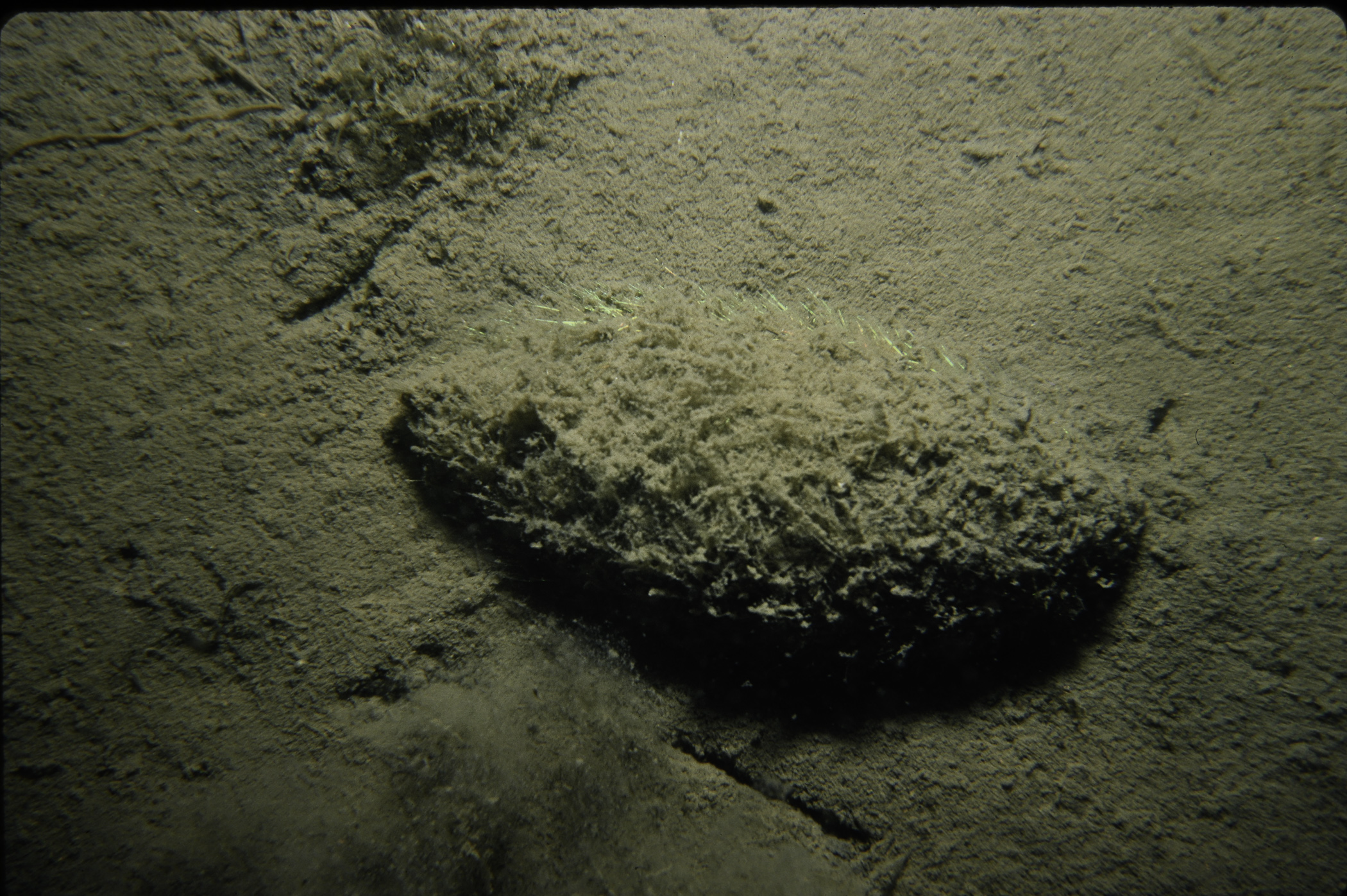
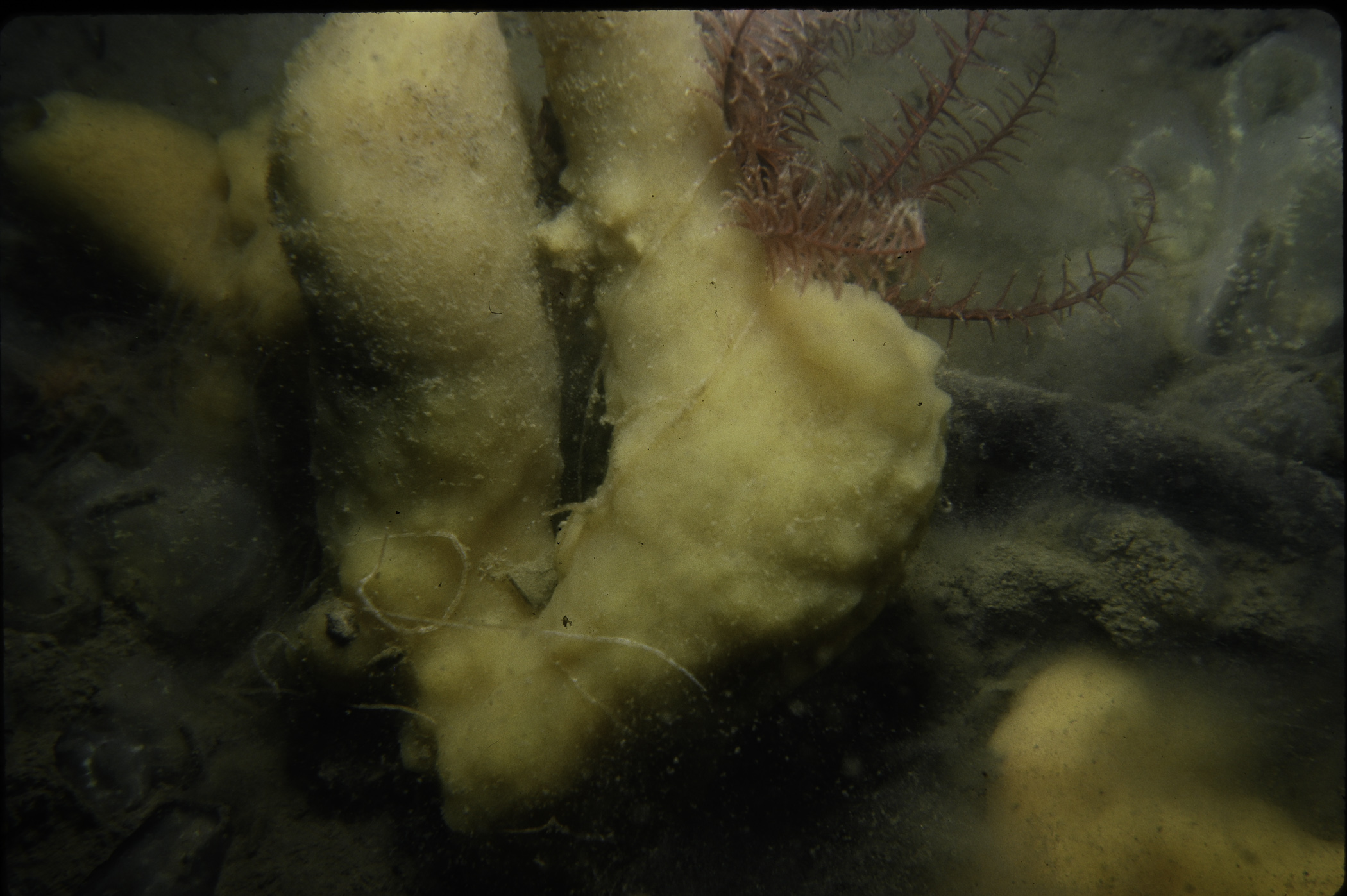
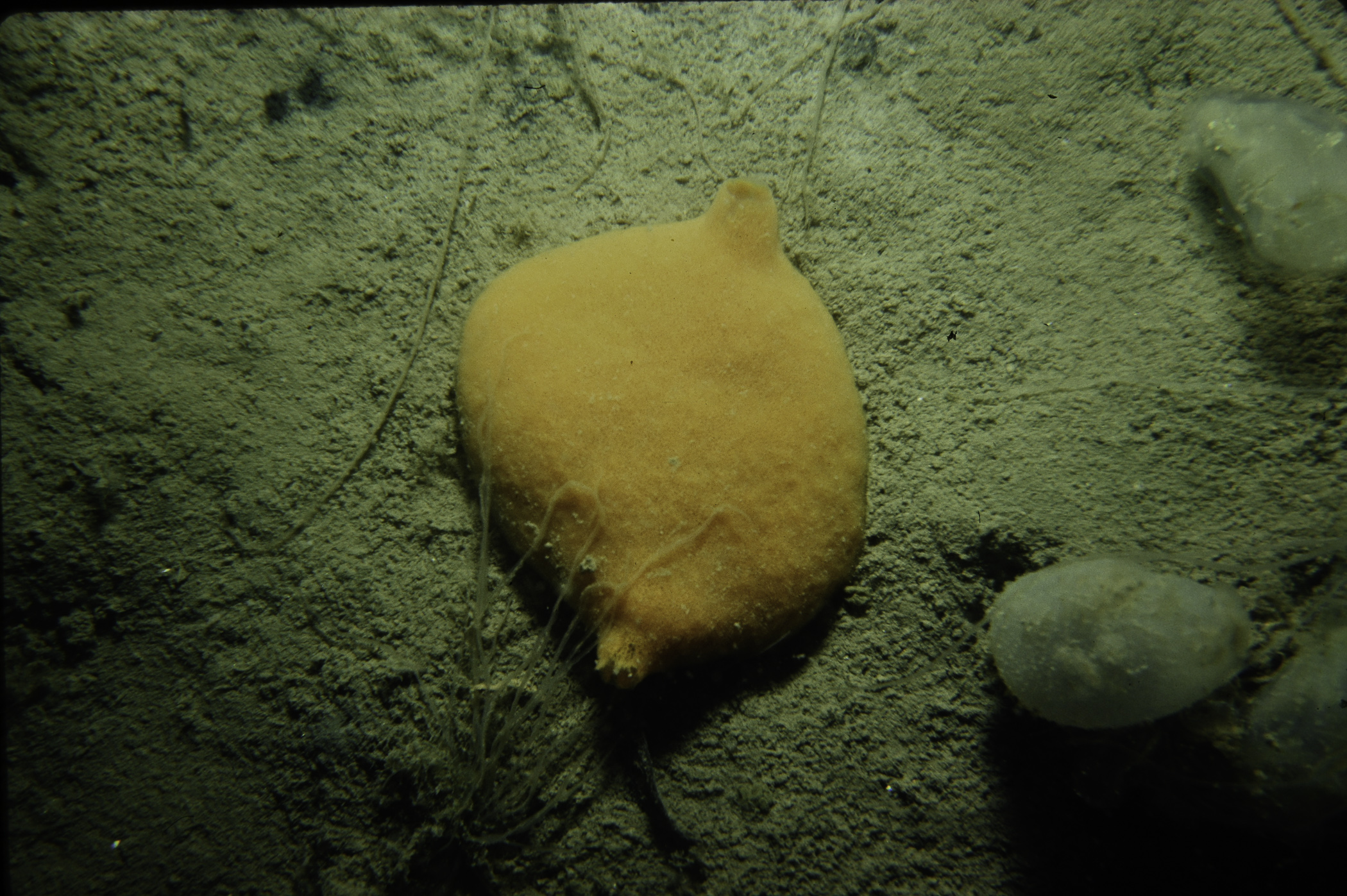
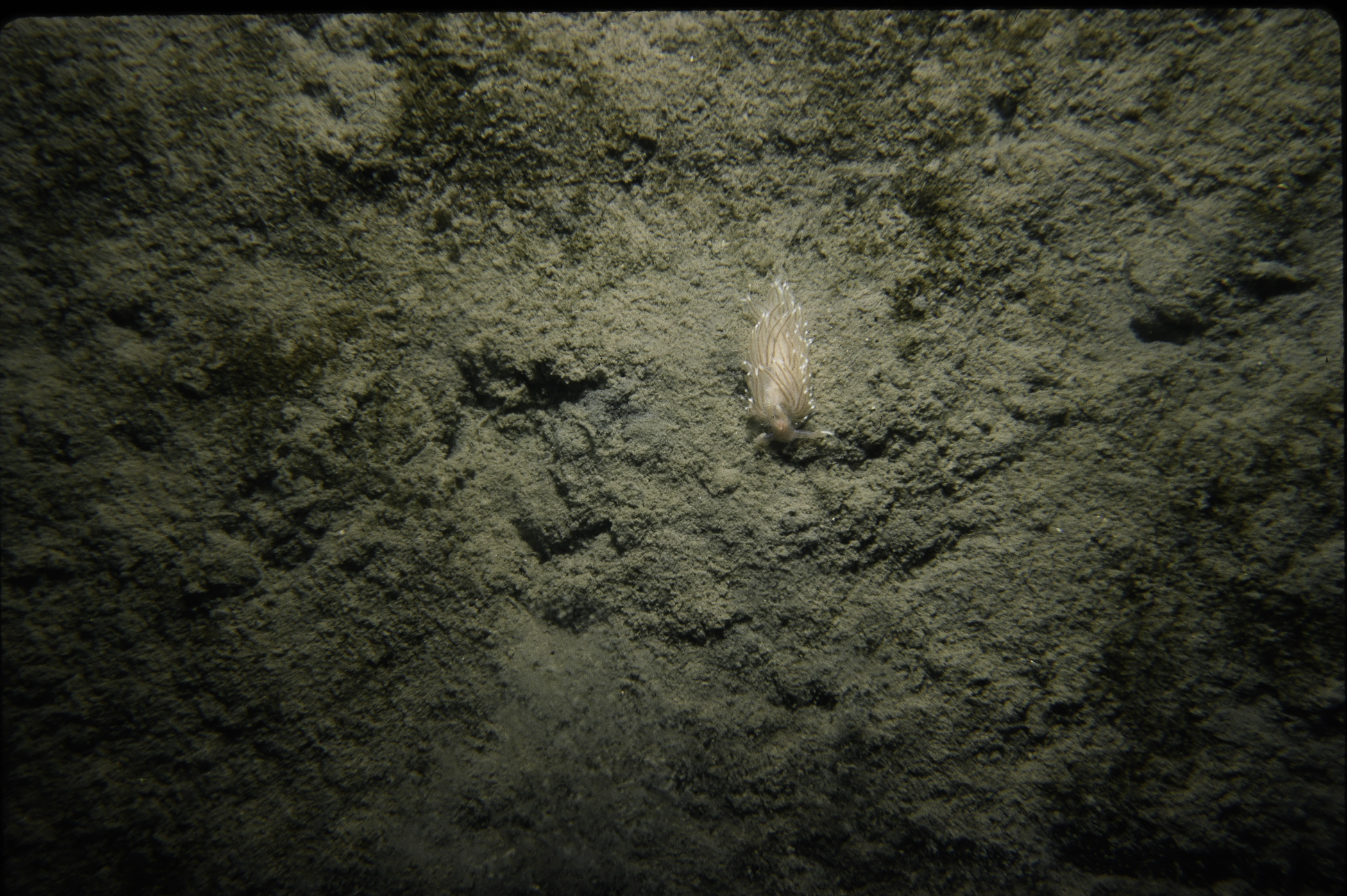
Site Description: Soft smooth mud plain. Some areas barren others with clumps of Amphitrite sp. And Ascidiella aspersa.
Species list (30 species recorded):
PORIFERA
Amphilectus fucorum
Halichondria bowerbanki
CNIDARIA
Hydractinia echinata
Obelia dichotoma
Metridium senile
ANNELIDA
Aphrodita aculeata
Amphitrite sp.
Thelepus cincinnatus
Sabella pavonina
CRUSTACEA
Balanus crenatus
Crangon crangon
Pagurus bernhardus
Inachus dorsettensis
Macropodia rostrata
Polybius depurator
Carcinus maenas
MOLLUSCA
Buccinum undatum
Facelina bostoniensis
Modiolus modiolus
Mimachlamys varia
Anomia ephippium
BRYOZOA
Scrupocellaria scruposa
ECHINODERMATA
Antedon bifida
TUNICATA
Diplosoma listerianum
Corella parallelogramma
Ascidiella aspersa
Ascidiella scabra
PISCES
Syngnathus acus
Pomatoschistus pictus
CHROMOPHYTA
Saccharina latissima
No biotope record.
PORIFERA
Amphilectus fucorum P
Halichondria bowerbanki P
CNIDARIA
Hydractinia echinata P
Obelia dichotoma P
Metridium senile P
ANNELIDA
Aphrodita aculeata P
Amphitrite sp. P
Thelepus cincinnatus P
Sabella pavonina P
CRUSTACEA
Balanus crenatus P
Crangon crangon P
Pagurus bernhardus P
Inachus dorsettensis P
Macropodia rostrata P
Polybius depurator P
Carcinus maenas P
MOLLUSCA
Buccinum undatum P
Facelina bostoniensis P
Modiolus modiolus P
Mimachlamys varia P
Anomia ephippium P
BRYOZOA
Scrupocellaria scruposa P
ECHINODERMATA
Antedon bifida P
TUNICATA
Diplosoma listerianum P
Corella parallelogramma P
Ascidiella aspersa P
Ascidiella scabra P
PISCES
Syngnathus acus P
Pomatoschistus pictus P
CHROMOPHYTA
Saccharina latissima P
| Previous site | Next site |
