Marine Biodiversity Data Portal - NI
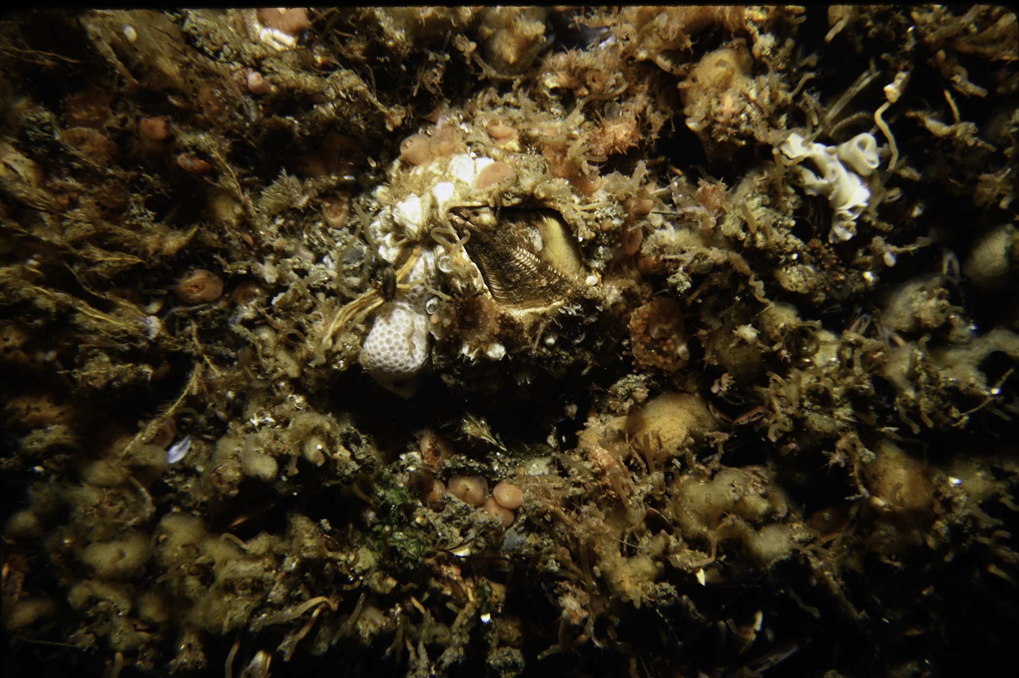
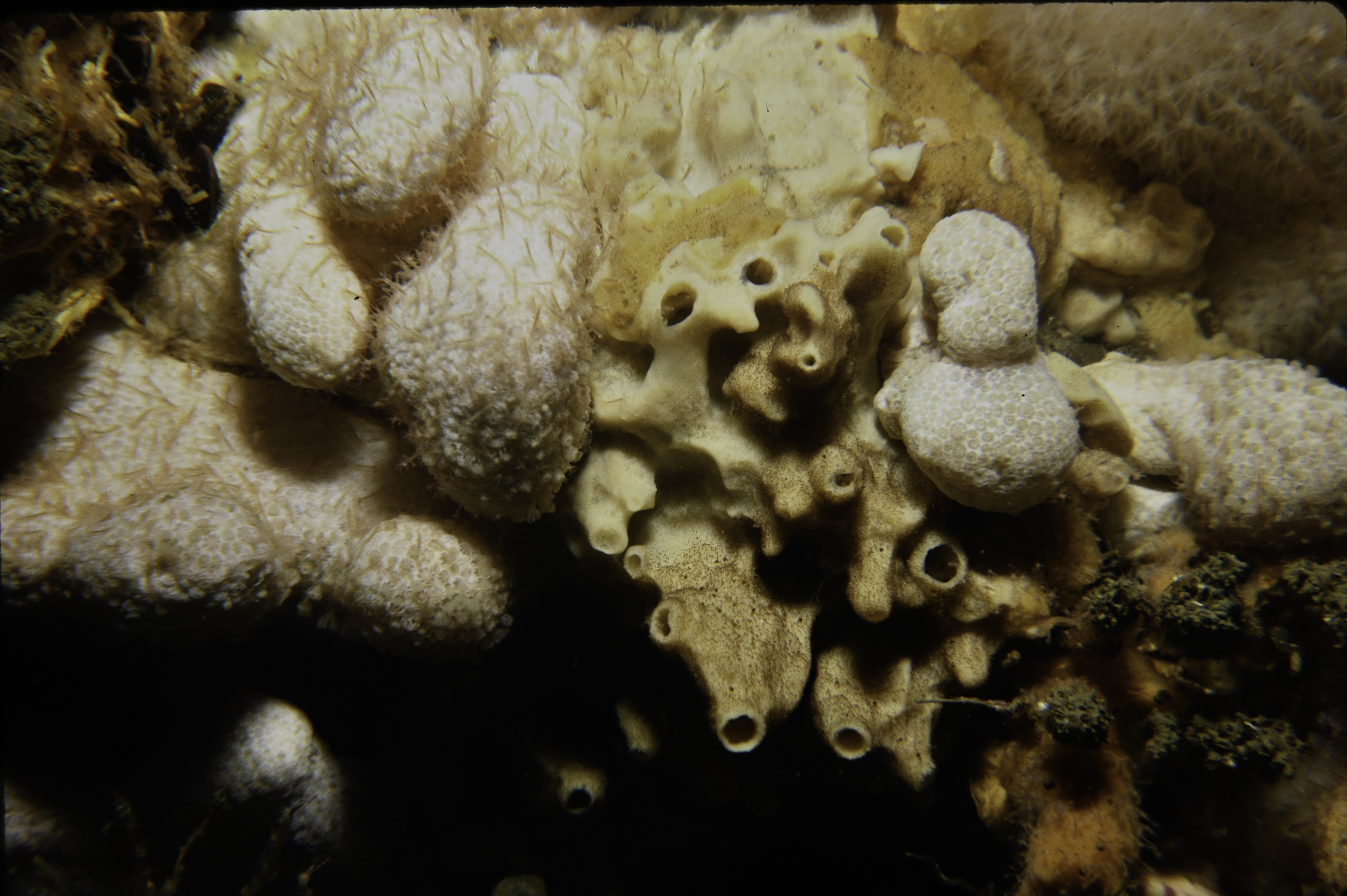
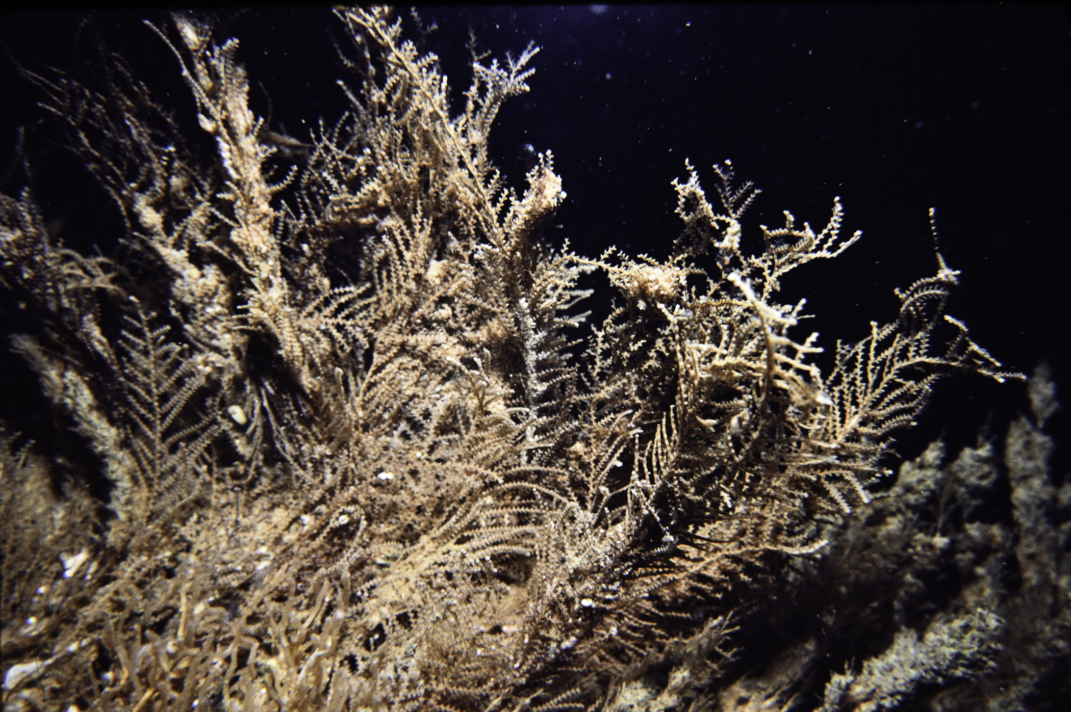
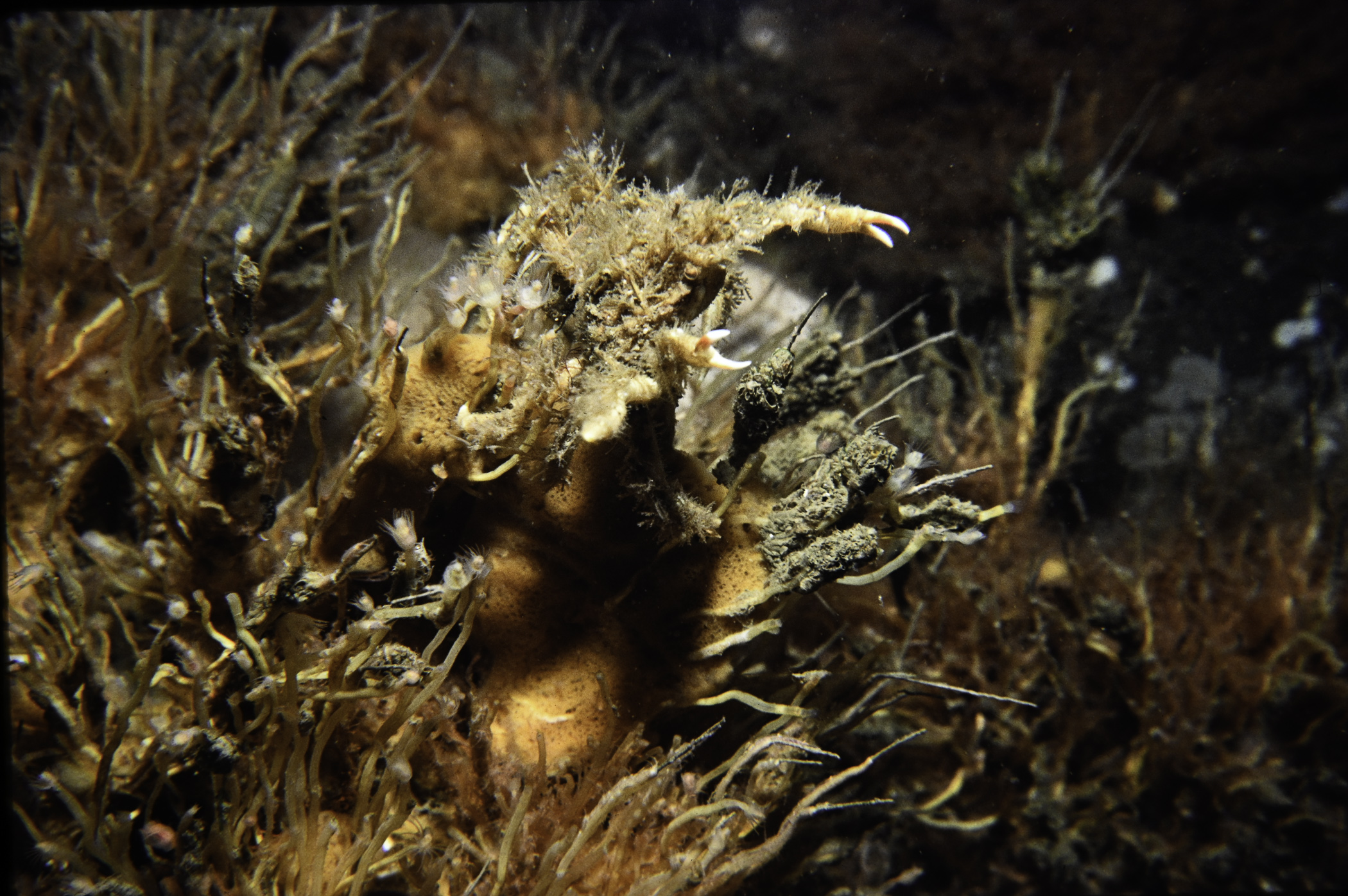
W of Rue Point, Strangford Lough.
Survey number: 550 Event number: 19830802/01 Date: 1983-08-02 GPS: 54.36350,-5.54333. Depth: -32.0 to -33.0 m. [ View map ]
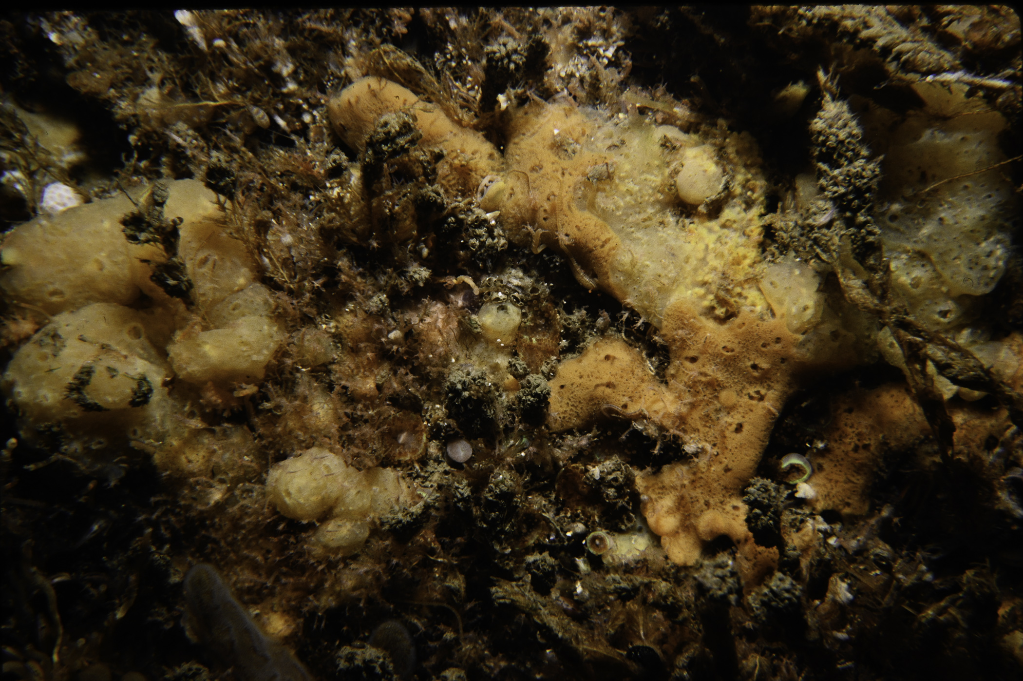
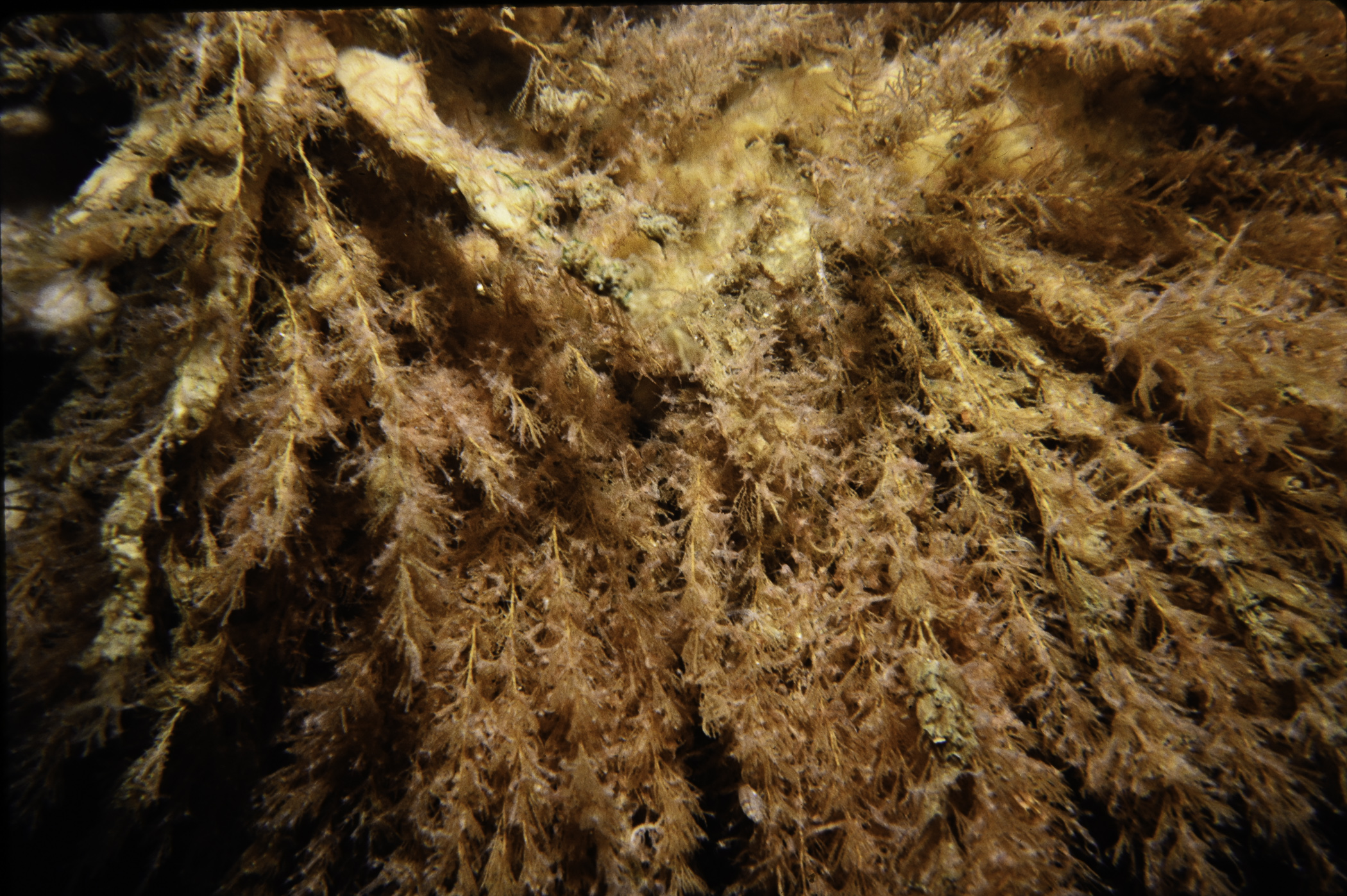
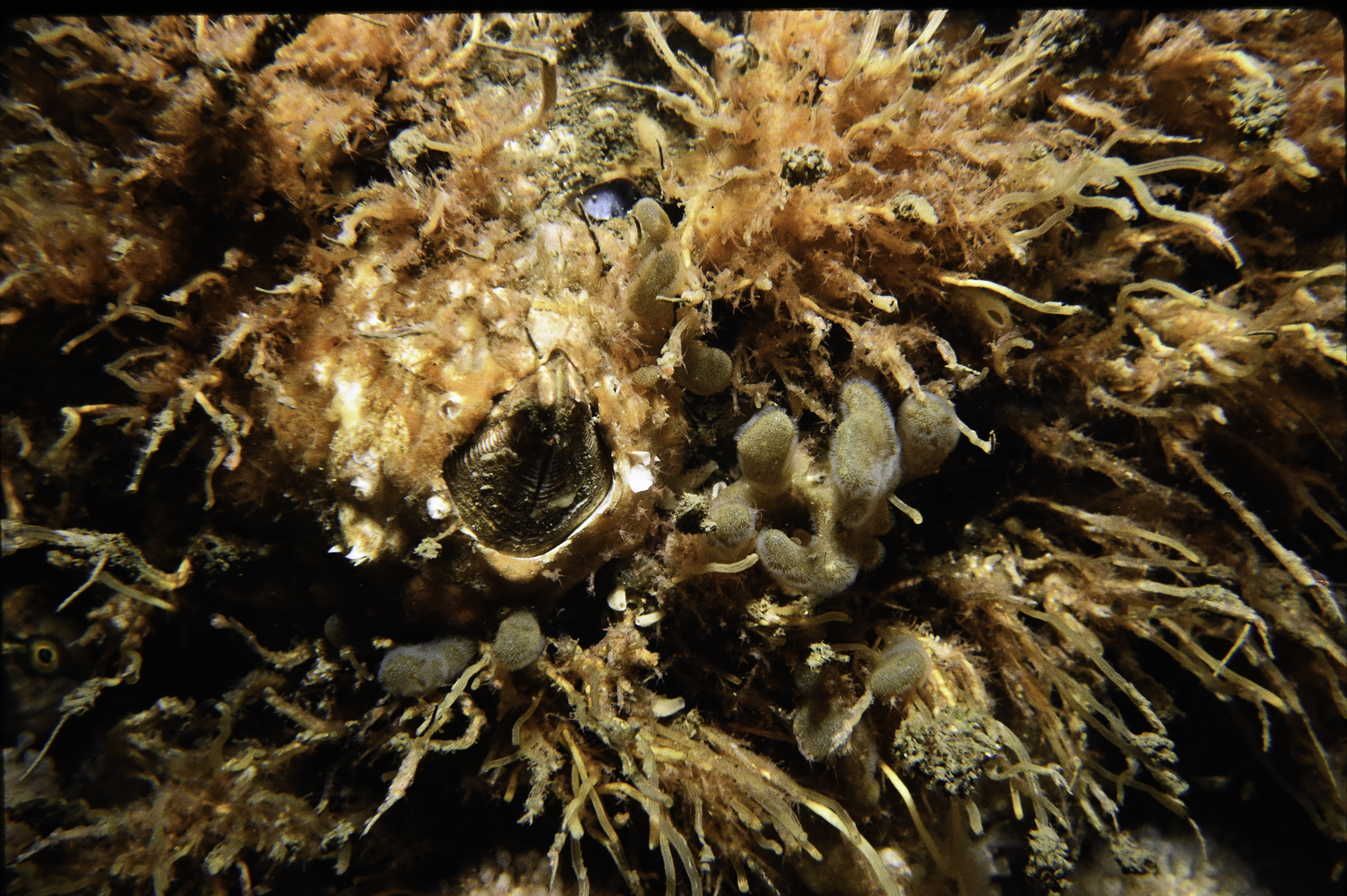
Site Description: Drift to 54 22.85'N 005 32.64'W. Stable boulders and cobbles with dense epifauna.
Species list (39 species recorded):
PORIFERA
Grantia compressa
Leucosolenia sp.
Pachymatisma johnstonia
Stelligera stuposa
Amphilectus fucorum
Myxilla incrustans
Halichondria panicea
Haliclona viscosa
CNIDARIA
Tubularia indivisa
Garveia nutans
Abietinaria abietina
Sertularia argentea
Nemertesia antennina
Plumularia setacea
Alcyonium digitatum
Cylista elegans
Corynactis viridis
CRUSTACEA
Chirona hameri
Balanus crenatus
Caprella linearis
Pisidia longicornis
Hyas coarctatus
Cancer pagurus
Necora puber
MOLLUSCA
Calliostoma zizyphinum
Trivia arctica
Nucella lapillus
Dendronotus frondosus
Acanthodoris pilosa
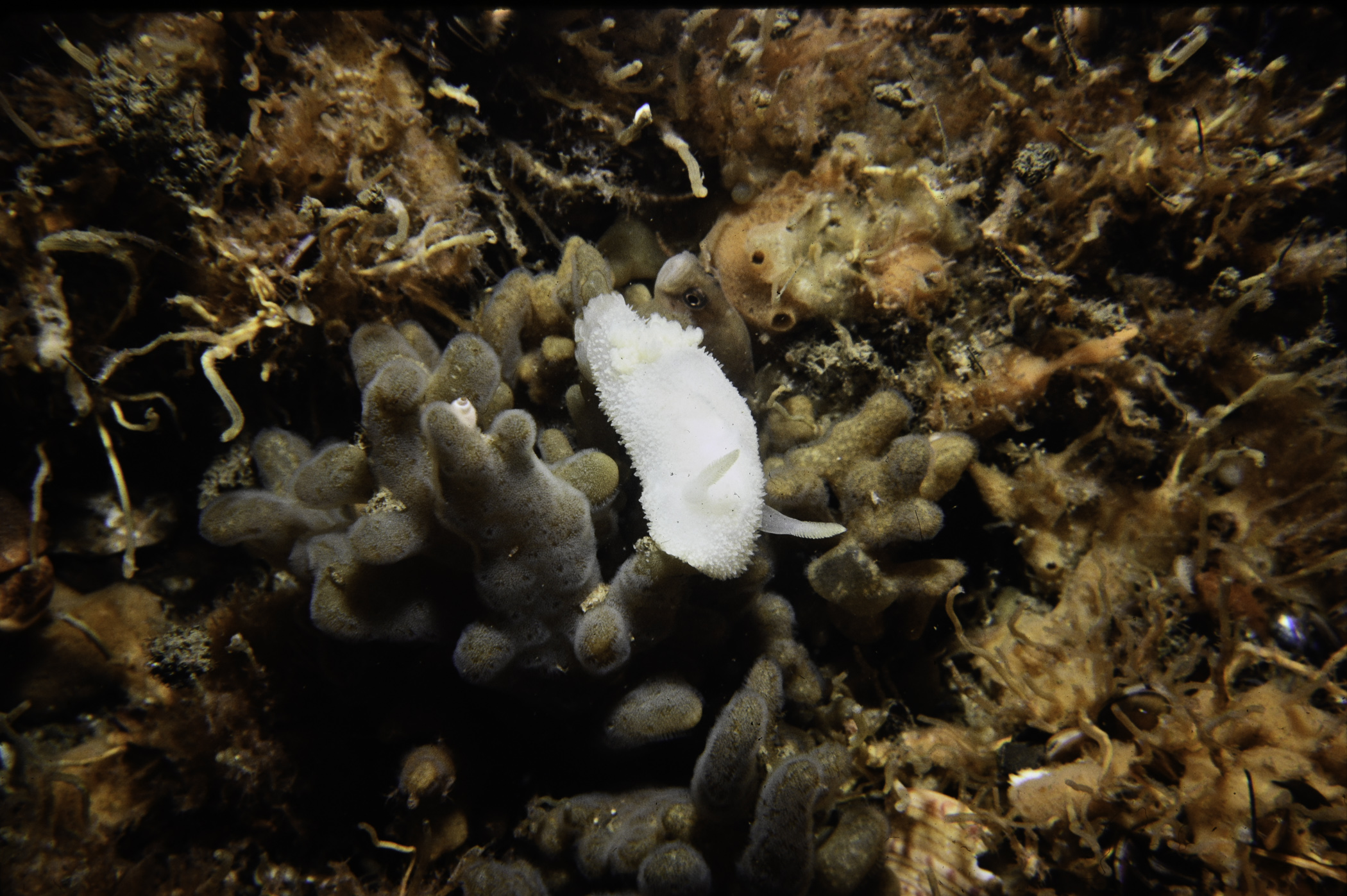
Jorunna tomentosa
Mytilus edulis
Musculus discors
BRYOZOA
Alcyonidium diaphanum
ECHINODERMATA
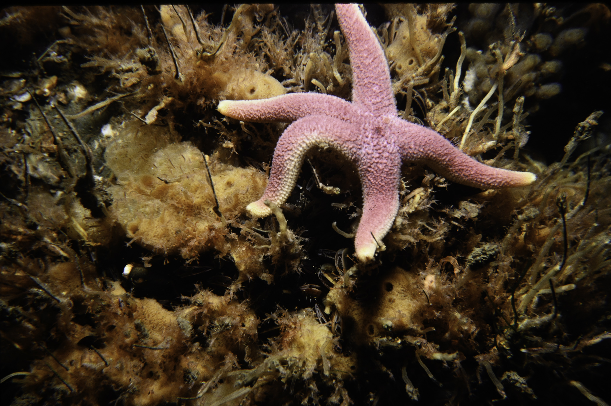
Henricia oculata
Echinus esculentus
TUNICATA
Polyclinum aurantium
PISCES
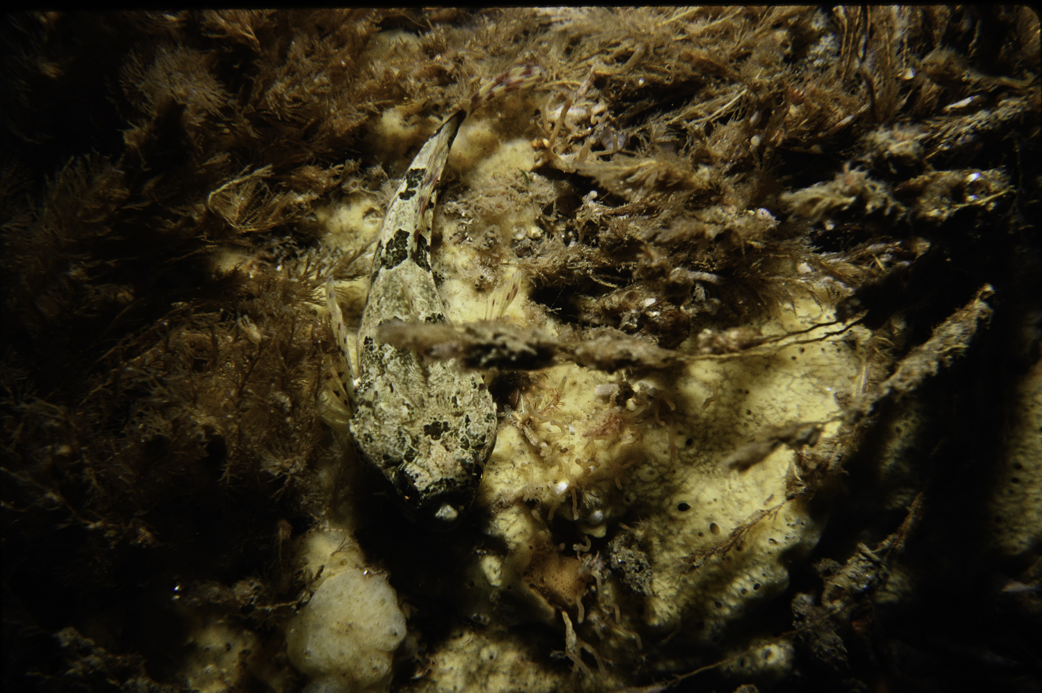
Taurulus bubalis
Chirolophis ascanii
Pholis gunnellus
No biotope record.
PORIFERA
Grantia compressa P
Leucosolenia sp. P
Pachymatisma johnstonia P
Stelligera stuposa P
Amphilectus fucorum P
Myxilla incrustans P
Halichondria panicea P
Haliclona viscosa P
CNIDARIA
Tubularia indivisa P
Garveia nutans P
Abietinaria abietina P
Sertularia argentea P
Nemertesia antennina P
Plumularia setacea P
Alcyonium digitatum P
Cylista elegans P
Corynactis viridis P
CRUSTACEA
Chirona hameri P
Balanus crenatus P
Caprella linearis P
Pisidia longicornis P
Hyas coarctatus P
Cancer pagurus P
Necora puber P
MOLLUSCA
Calliostoma zizyphinum P
Trivia arctica P
Nucella lapillus P
Dendronotus frondosus P
Acanthodoris pilosa P
Jorunna tomentosa P
Mytilus edulis P
Musculus discors P
BRYOZOA
Alcyonidium diaphanum P
ECHINODERMATA
Henricia oculata P
Echinus esculentus P
TUNICATA
Polyclinum aurantium P
PISCES
Taurulus bubalis P
Chirolophis ascanii P
Pholis gunnellus P
| Previous site | Next site |
