Marine Biodiversity Data Portal - NI
Moville Buoy, Lough Foyle.
Survey number: 550 Event number: 19830621/06 Date: 1983-06-21 GPS: 55.18333,-7.03417. Depth: -7.0 to -8.0 m. [ View map ]
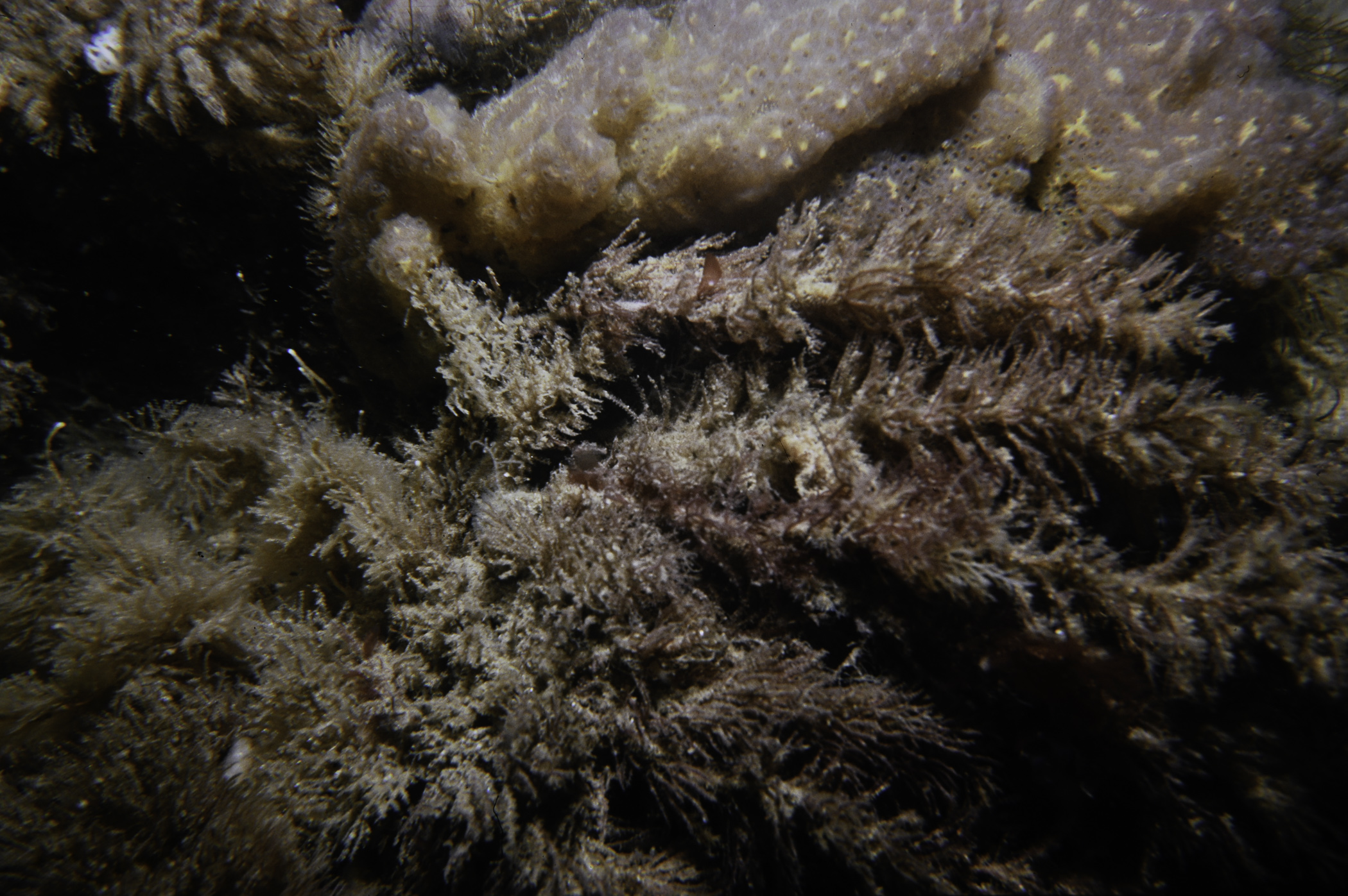
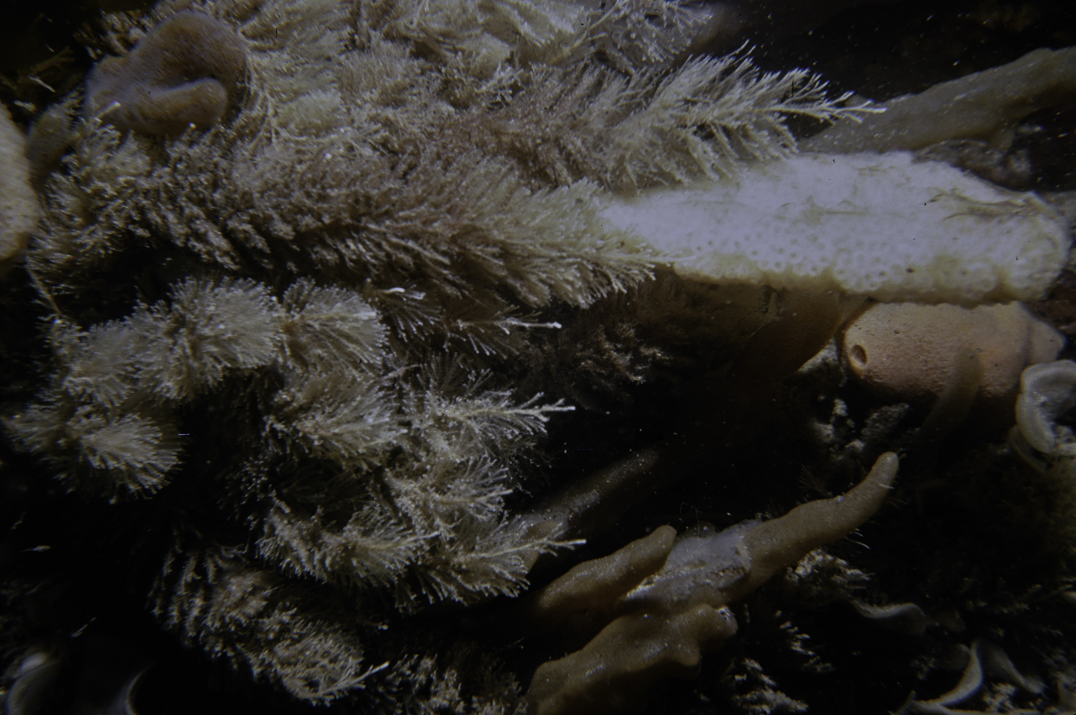
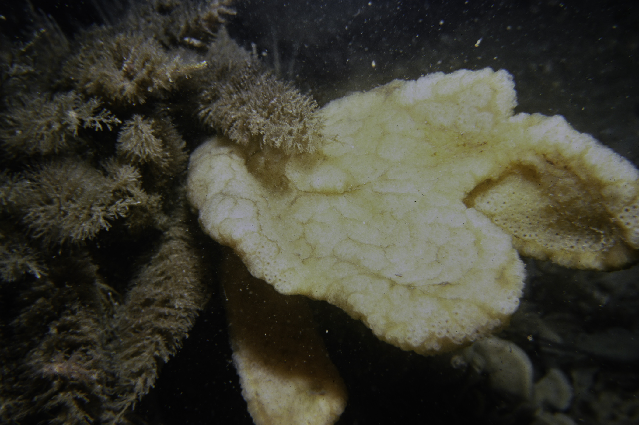
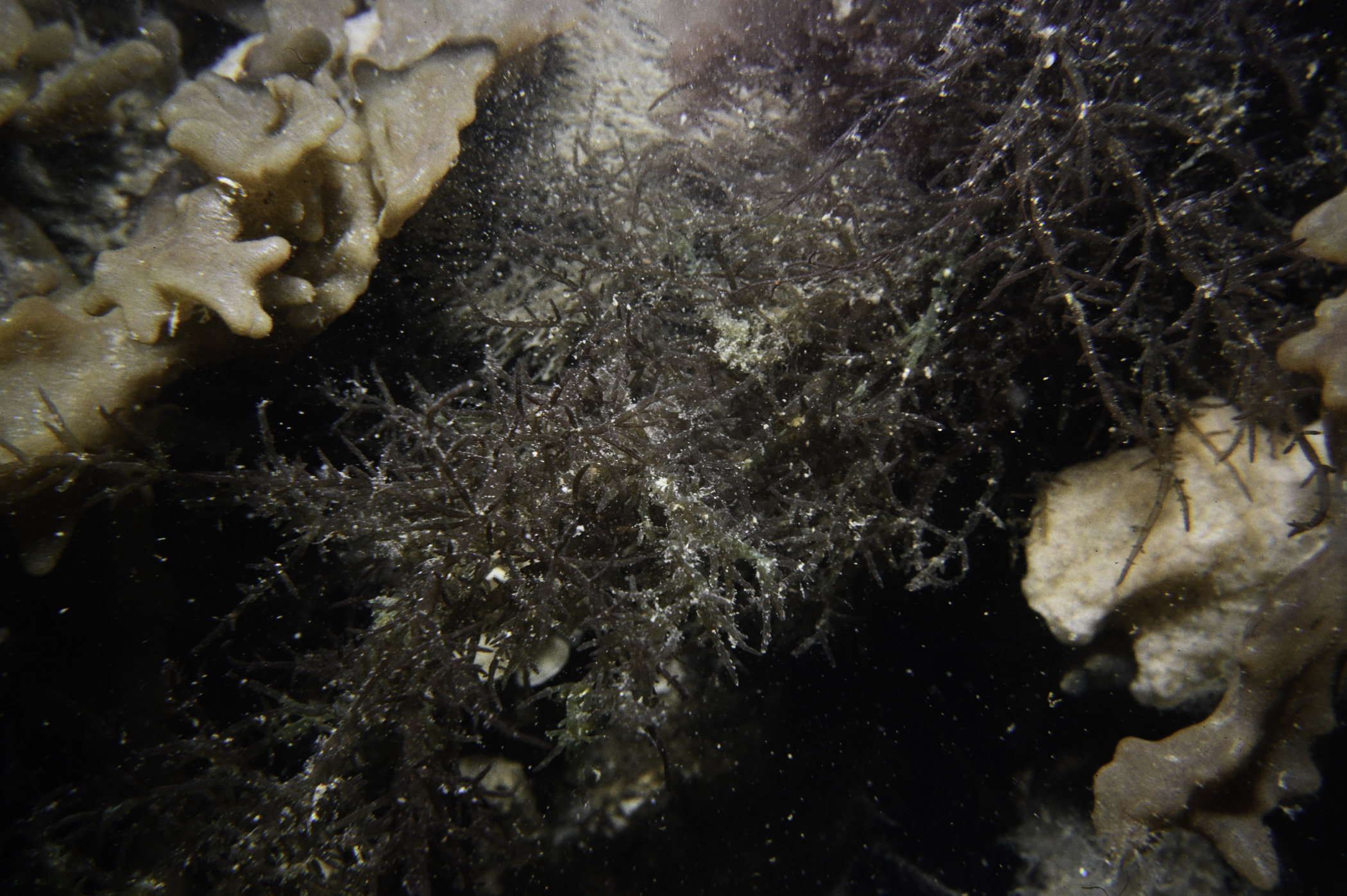
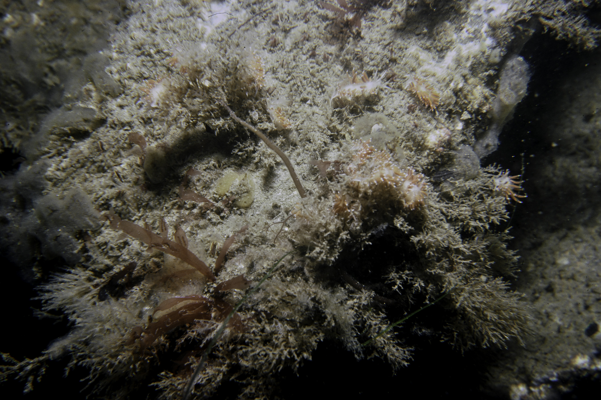
Site Description: Rock slope at base of channel marker. Series of horizontal slabs very fissured and broken. Heavily silted. Quite rich.
Species list (55 species recorded):
PORIFERA
Dysidea fragilis
Amphilectus fucorum
Myxilla incrustans
Halichondria bowerbanki
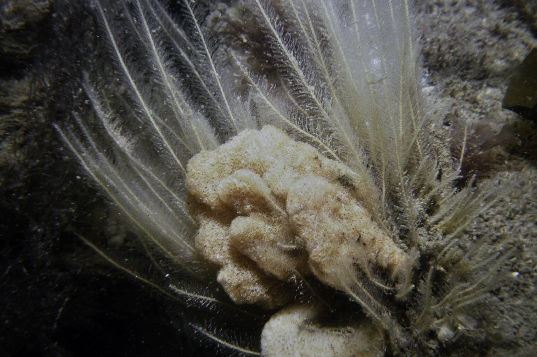
Halichondria panicea
Hymeniacidon perleve
Suberites carnosus
Suberites ficus
CNIDARIA
Eudendrium sp.
Halecium halecinum
Hydrallmania falcata
Sertularia cupressina
Nemertesia antennina
Nemertesia ramosa
Hartlaubella gelatinosa
Obelia sp.
Alcyonium digitatum
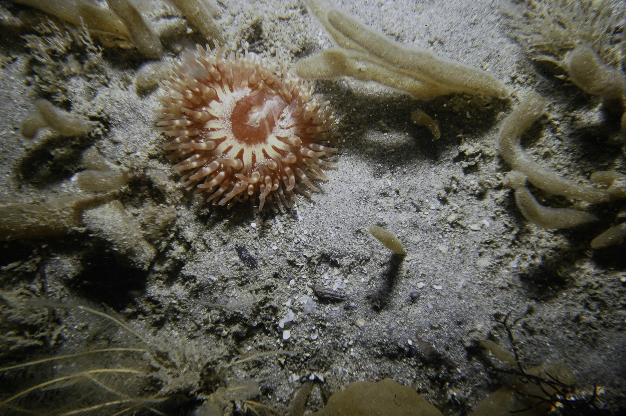
Urticina felina
Metridium senile
Cylista elegans
ANNELIDA
Myrianida pinnigera
CRUSTACEA
Pagurus bernhardus
Cancer pagurus
Carcinus maenas
MOLLUSCA
Dendronotus frondosus
Ancula gibbosa
Acanthodoris pilosa
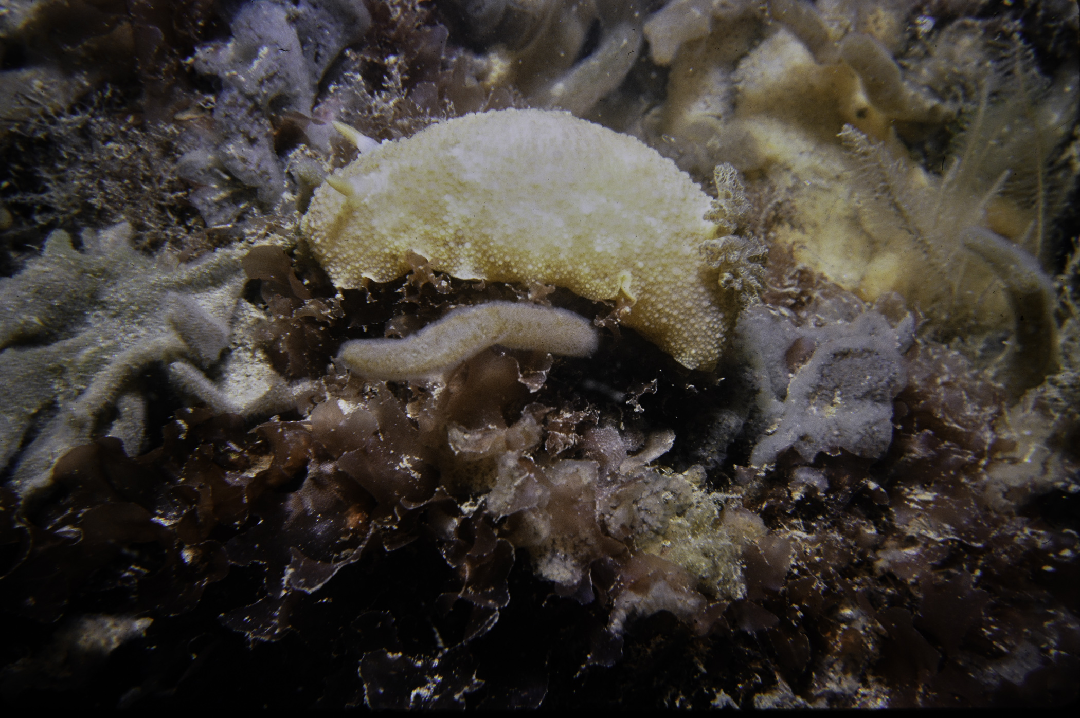
Archidoris pseudoargus
Antiopella cristata
Coryphella gracilis
Edmundsella pedata
BRYOZOA
Alcyonidium diaphanum
Electra pilosa
Flustra foliacea
ECHINODERMATA
Antedon bifida
TUNICATA
Clavelina lepadiformis
Dendrodoa grossularia
Botryllus schlosseri
PISCES
Spinachia spinachia
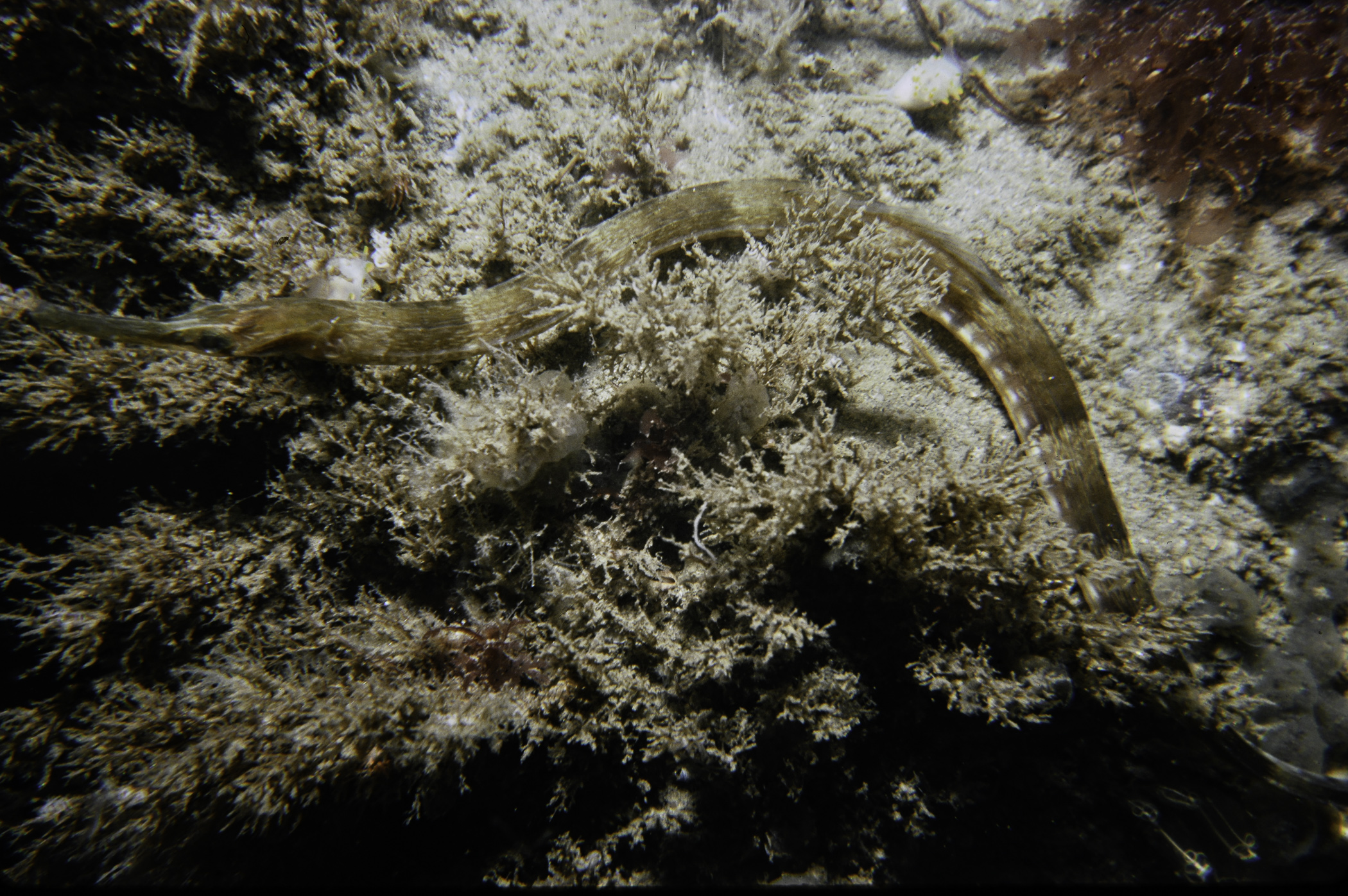
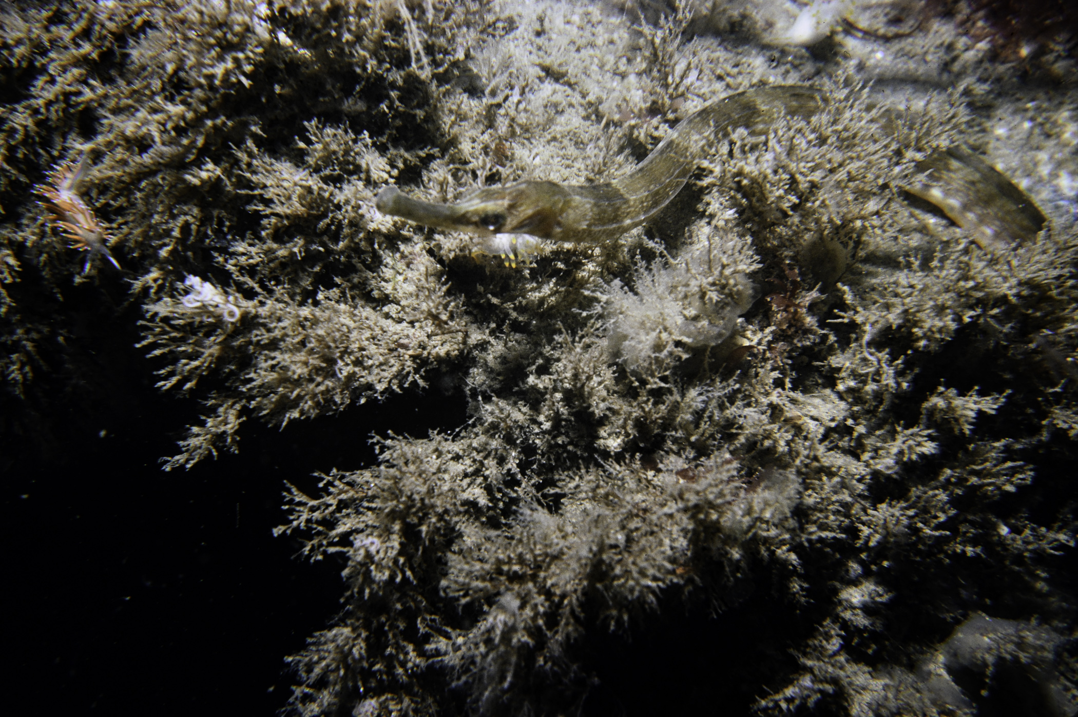
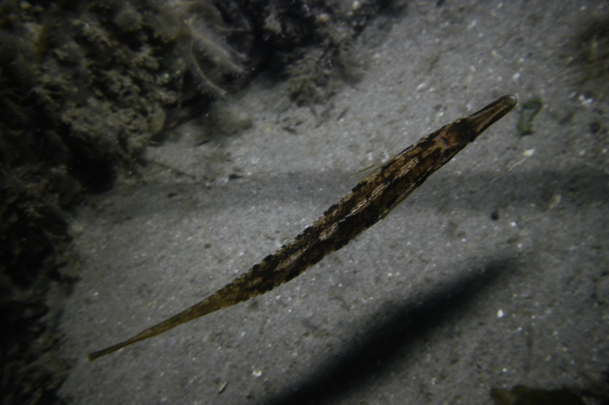
Syngnathus acus
RHODOPHYTA
Dilsea carnosa
Chondrus crispus
Gracilaria gracilis
Chylocladia verticillata
Ceramium sp.
Delesseria sanguinea
Haraldiophyllum bonnemaisonii
Hypoglossum hypoglossoides
Brongniartella byssoides
Odonthalia dentata
CHROMOPHYTA
Desmarestia aculeata
Laminaria hyperborea
Saccharina latissima
CHLOROPHYTA
Chaetomorpha melagonium
Bryopsis plumosa
No biotope record.
PORIFERA
Dysidea fragilis P
Amphilectus fucorum P
Myxilla incrustans P
Halichondria bowerbanki P
Halichondria panicea P
Hymeniacidon perleve P
Suberites carnosus P
Suberites ficus P
CNIDARIA
Eudendrium sp. P
Halecium halecinum P
Hydrallmania falcata P
Sertularia cupressina P
Nemertesia antennina P
Nemertesia ramosa P
Hartlaubella gelatinosa P
Obelia sp. P
Alcyonium digitatum P
Urticina felina P
Metridium senile P
Cylista elegans P
ANNELIDA
Myrianida pinnigera P
CRUSTACEA
Pagurus bernhardus P
Cancer pagurus P
Carcinus maenas P
MOLLUSCA
Dendronotus frondosus P
Ancula gibbosa P
Acanthodoris pilosa P
Archidoris pseudoargus P
Antiopella cristata P
Coryphella gracilis P
Edmundsella pedata P
BRYOZOA
Alcyonidium diaphanum P
Electra pilosa P
Flustra foliacea P
ECHINODERMATA
Antedon bifida P
TUNICATA
Clavelina lepadiformis P
Dendrodoa grossularia P
Botryllus schlosseri P
PISCES
Spinachia spinachia P
Syngnathus acus P
RHODOPHYTA
Dilsea carnosa P
Chondrus crispus P
Gracilaria gracilis P
Chylocladia verticillata P
Ceramium sp. P
Delesseria sanguinea P
Haraldiophyllum bonnemaisonii P
Hypoglossum hypoglossoides P
Brongniartella byssoides P
Odonthalia dentata P
CHROMOPHYTA
Desmarestia aculeata P
Laminaria hyperborea P
Saccharina latissima P
CHLOROPHYTA
Chaetomorpha melagonium P
Bryopsis plumosa P
| Previous site | Next site |
