Marine Biodiversity Data Portal - NI
NE of Ushet Point, Rathlin Is.
Survey number: 550 Event number: 19830615/04 Date: 1983-06-15 GPS: 55.26567,-6.17233. Depth: -27.0 to -28.0 m. [ View map ]
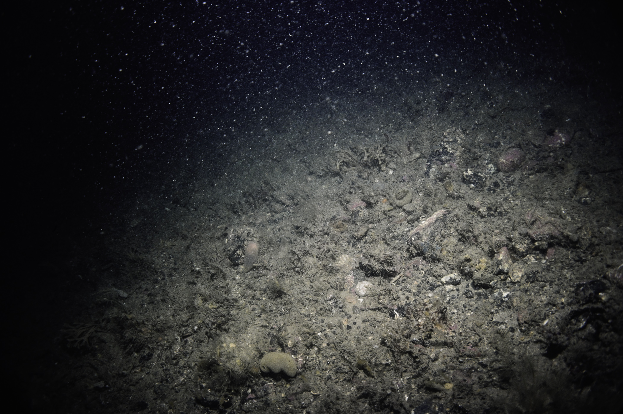
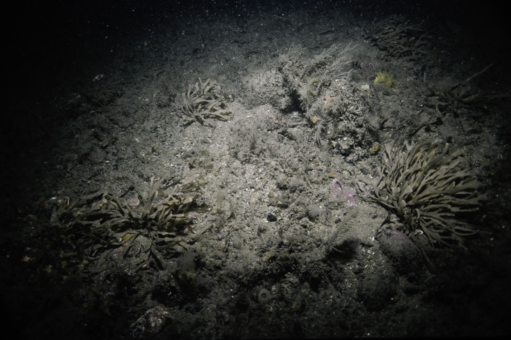
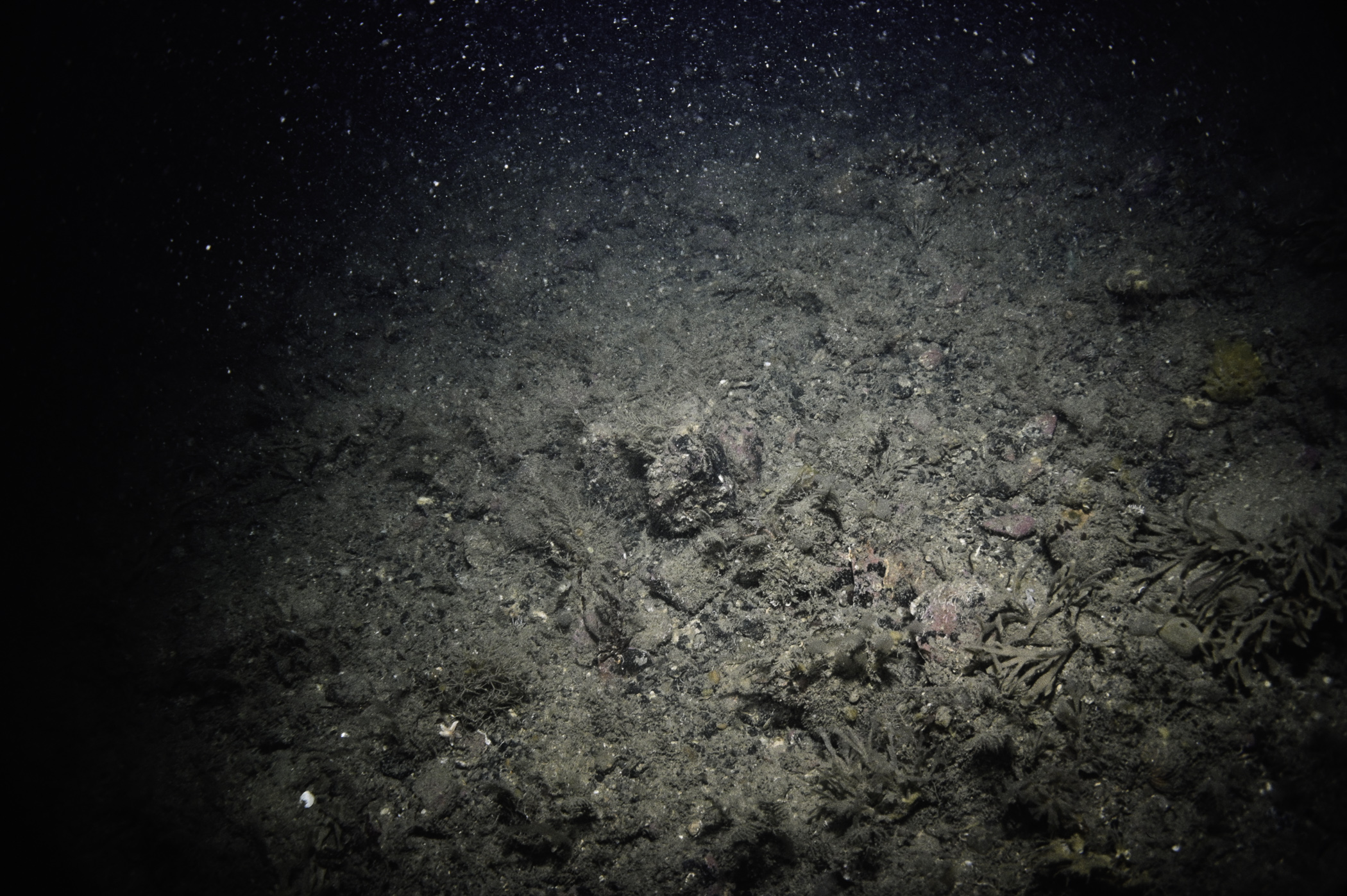
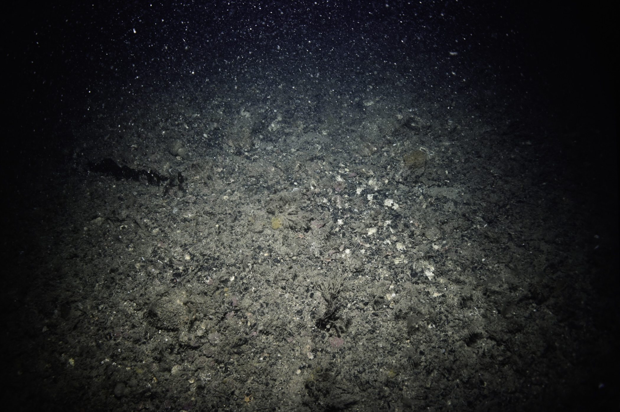
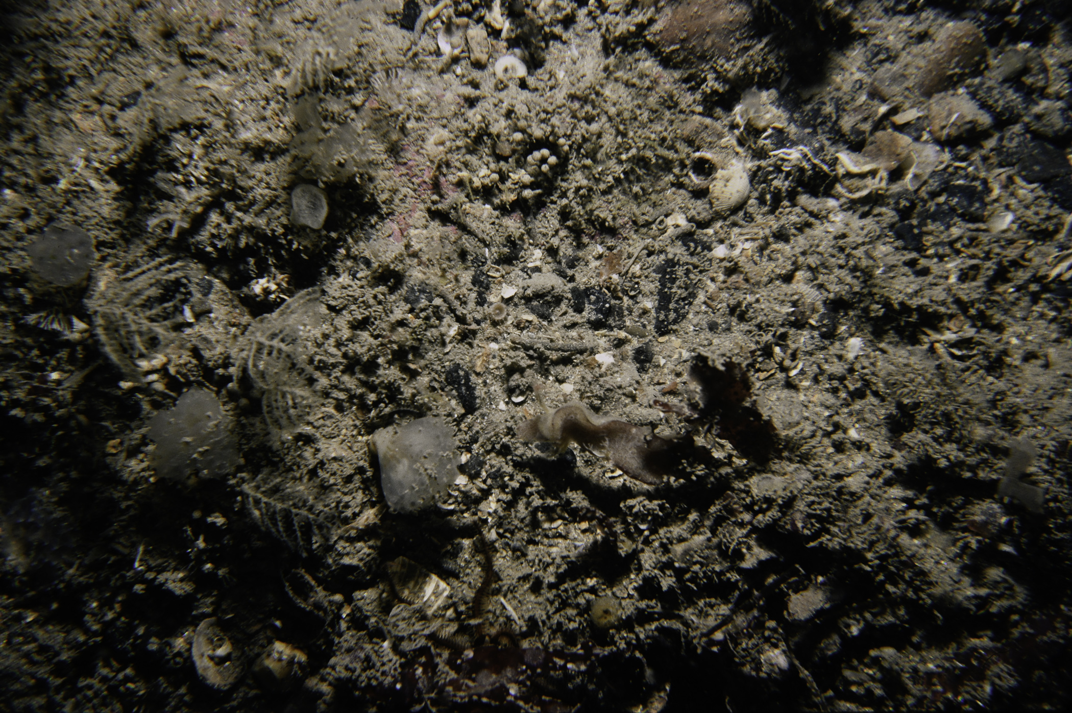
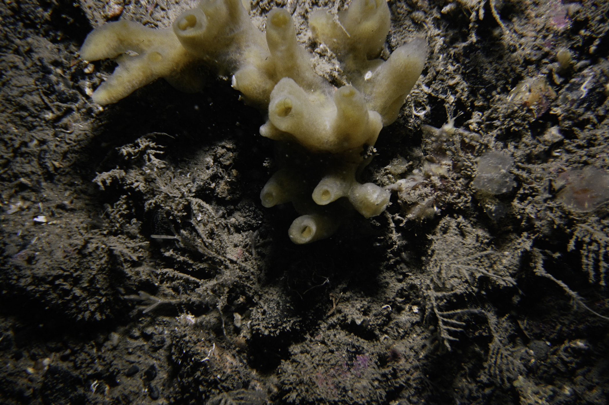
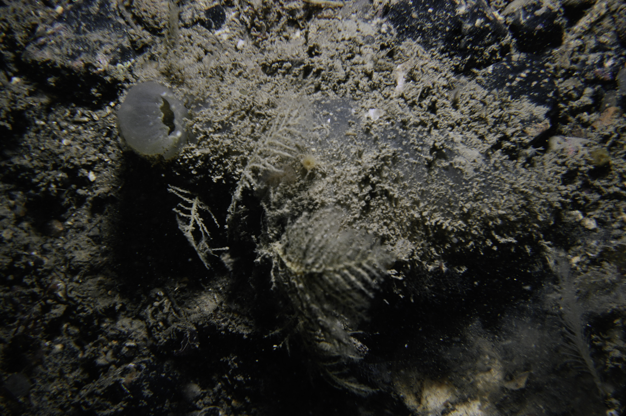
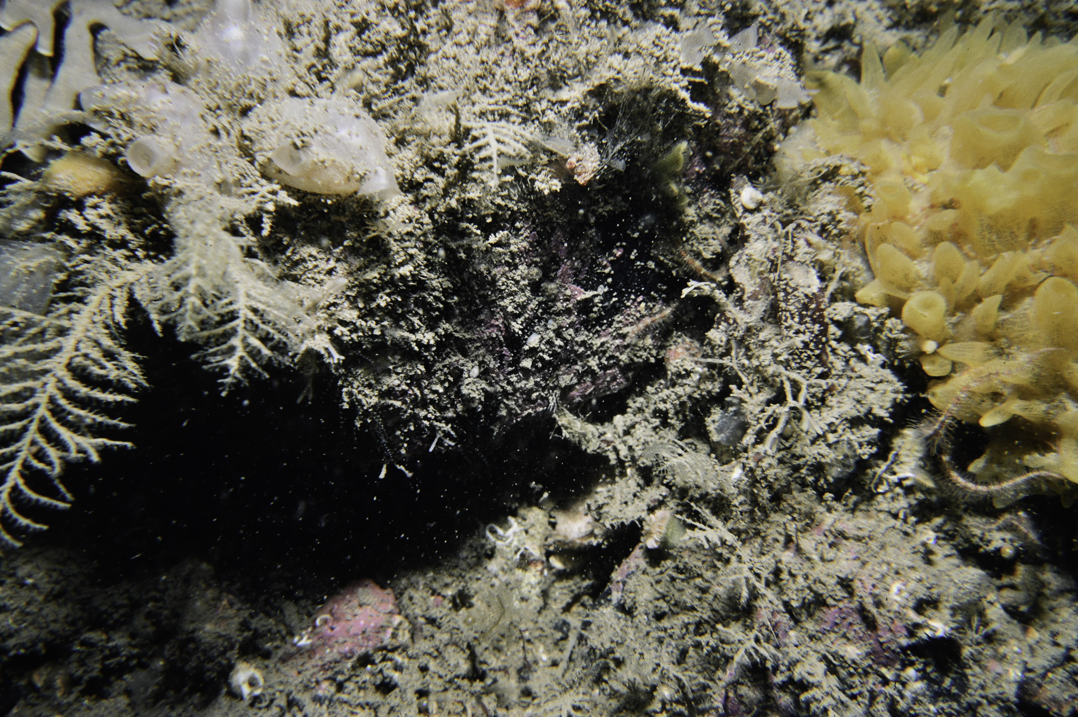
Site Description: Shallow plain with boulder/ cobbles on mud gravel and small patch of horizontal bedrock.
Species list (35 species recorded):
PORIFERA
Sycon ciliatum
Axinella infundibuliformis
Stelligera stuposa
Polymastia boletiformis
Halichondria bowerbanki
Suberites carnosus
CNIDARIA
Halecium halecinum
Nemertesia antennina
Nemertesia ramosa
Plumularia setacea
Calliactis palliata
Caryophyllia smithii
CRUSTACEA
Anapagurus chiroacanthus
Pagurus prideaux
Hyas coarctatus
MOLLUSCA
Aplysia (Pruvotaplysia) punctata
Antiopella cristata
Coryphella lineata
BRYOZOA
Flustra foliacea
Securiflustra securifrons
Omalosecosa ramulosa
ECHINODERMATA
Crossaster papposus
Ophiothrix fragilis
Ophiocomina nigra
Amphipholis squamata
Psammechinus miliaris
TUNICATA
Synoicum pulmonaria
Didemnum sp.
Corella parallelogramma
Ascidiella aspersa
Ascidia mentula
Polycarpa pomaria
Botrylloides leachi
RHODOPHYTA
Phyllophora crispa
Acrosorium venulosum
No biotope record.
PORIFERA
Sycon ciliatum P
Axinella infundibuliformis P
Stelligera stuposa P
Polymastia boletiformis P
Halichondria bowerbanki P
Suberites carnosus P
CNIDARIA
Halecium halecinum P
Nemertesia antennina P
Nemertesia ramosa P
Plumularia setacea P
Calliactis palliata P
Caryophyllia smithii P
CRUSTACEA
Anapagurus chiroacanthus P
Pagurus prideaux P
Hyas coarctatus P
MOLLUSCA
Aplysia (Pruvotaplysia) punctata P
Antiopella cristata P
Coryphella lineata P
BRYOZOA
Flustra foliacea P
Securiflustra securifrons P
Omalosecosa ramulosa P
ECHINODERMATA
Crossaster papposus P
Ophiothrix fragilis P
Ophiocomina nigra P
Amphipholis squamata P
Psammechinus miliaris P
TUNICATA
Synoicum pulmonaria P
Didemnum sp. P
Corella parallelogramma P
Ascidiella aspersa P
Ascidia mentula P
Polycarpa pomaria P
Botrylloides leachi P
RHODOPHYTA
Phyllophora crispa P
Acrosorium venulosum P
| Previous site | Next site |
