Marine Biodiversity Data Portal - NI
W of Signal Hill, Rathlin Is.
Survey number: 550 Event number: 19830613/02 Date: 1983-06-13 GPS: 55.27517,-6.21133. Depth: -16.0 to -17.0 m. [ View map ]
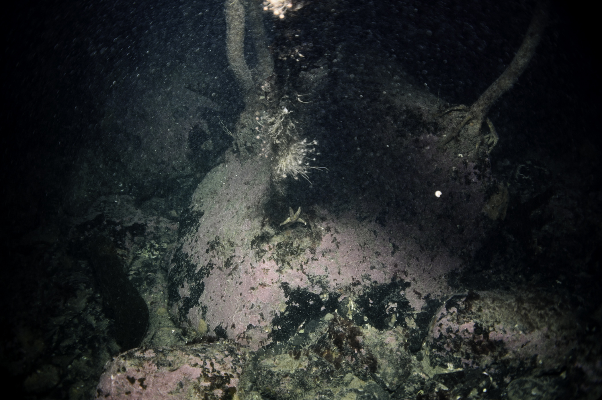
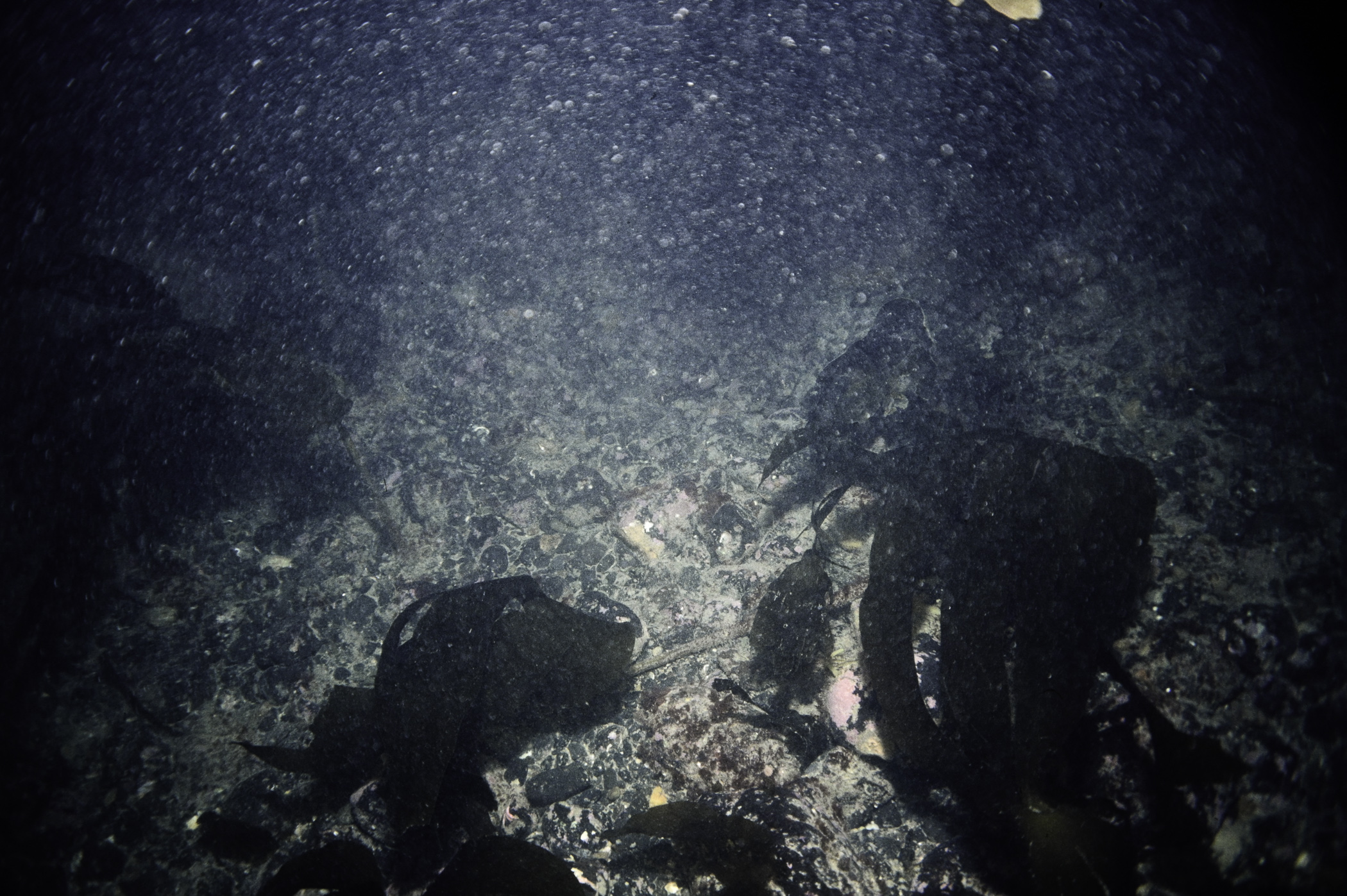
Site Description: Plain of boulder/cobble with sand between. Kelp & red algae not dense. Boulders rounded. Occassional limestone one.
Species list (31 species recorded):
PORIFERA
Hymedesmia paupertas
CNIDARIA
Tubularia indivisa
Bougainvillia ramosa
Sertularia argentea
Clytia hemisphaerica
Obelia geniculata
Caryophyllia smithii
ANNELIDA
Sabella pavonina
Pomatoceros triqueter
CRUSTACEA
Pandalus montagui
Galathea squamifera
MOLLUSCA
Steromphala cineraria
Calliostoma zizyphinum
BRYOZOA
Membranipora membranacea
Parasmittina trispinosa
ECHINODERMATA
Ophiothrix fragilis
Echinus esculentus
TUNICATA
Didemnum sp.
Polycarpa pomaria
Botryllus schlosseri
RHODOPHYTA
Lithophyllum sp.
Metacallophyllis laciniata
Plocamium cartilagineum
Lomentaria orcadensis
Rhodymenia pseudopalmata
Cryptopleura ramosa
Delesseria sanguinea
Phycodrys rubens
Pterosiphonia parasitica
CHROMOPHYTA
Desmarestia aculeata
Laminaria hyperborea
No biotope record.
PORIFERA
Hymedesmia paupertas P
CNIDARIA
Tubularia indivisa P
Bougainvillia ramosa P
Sertularia argentea P
Clytia hemisphaerica P
Obelia geniculata P
Caryophyllia smithii P
ANNELIDA
Sabella pavonina P
Pomatoceros triqueter P
CRUSTACEA
Pandalus montagui P
Galathea squamifera P
MOLLUSCA
Steromphala cineraria P
Calliostoma zizyphinum P
BRYOZOA
Membranipora membranacea P
Parasmittina trispinosa P
ECHINODERMATA
Ophiothrix fragilis P
Echinus esculentus P
TUNICATA
Didemnum sp. P
Polycarpa pomaria P
Botryllus schlosseri P
RHODOPHYTA
Lithophyllum sp. P
Metacallophyllis laciniata P
Plocamium cartilagineum P
Lomentaria orcadensis P
Rhodymenia pseudopalmata P
Cryptopleura ramosa P
Delesseria sanguinea P
Phycodrys rubens P
Pterosiphonia parasitica P
CHROMOPHYTA
Desmarestia aculeata P
Laminaria hyperborea P
| Previous site | Next site |

