Marine Biodiversity Data Portal - NI
NE of Farganlack Point, Rathlin Is.
Survey number: 550 Event number: 19830607/06 Date: 1983-06-07 GPS: 55.31233,-6.25100. Depth: -15.0 to -16.0 m. [ View map ]
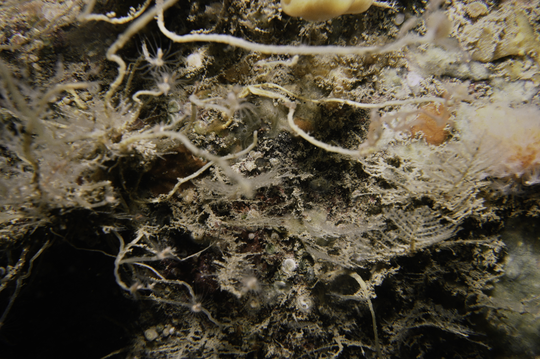
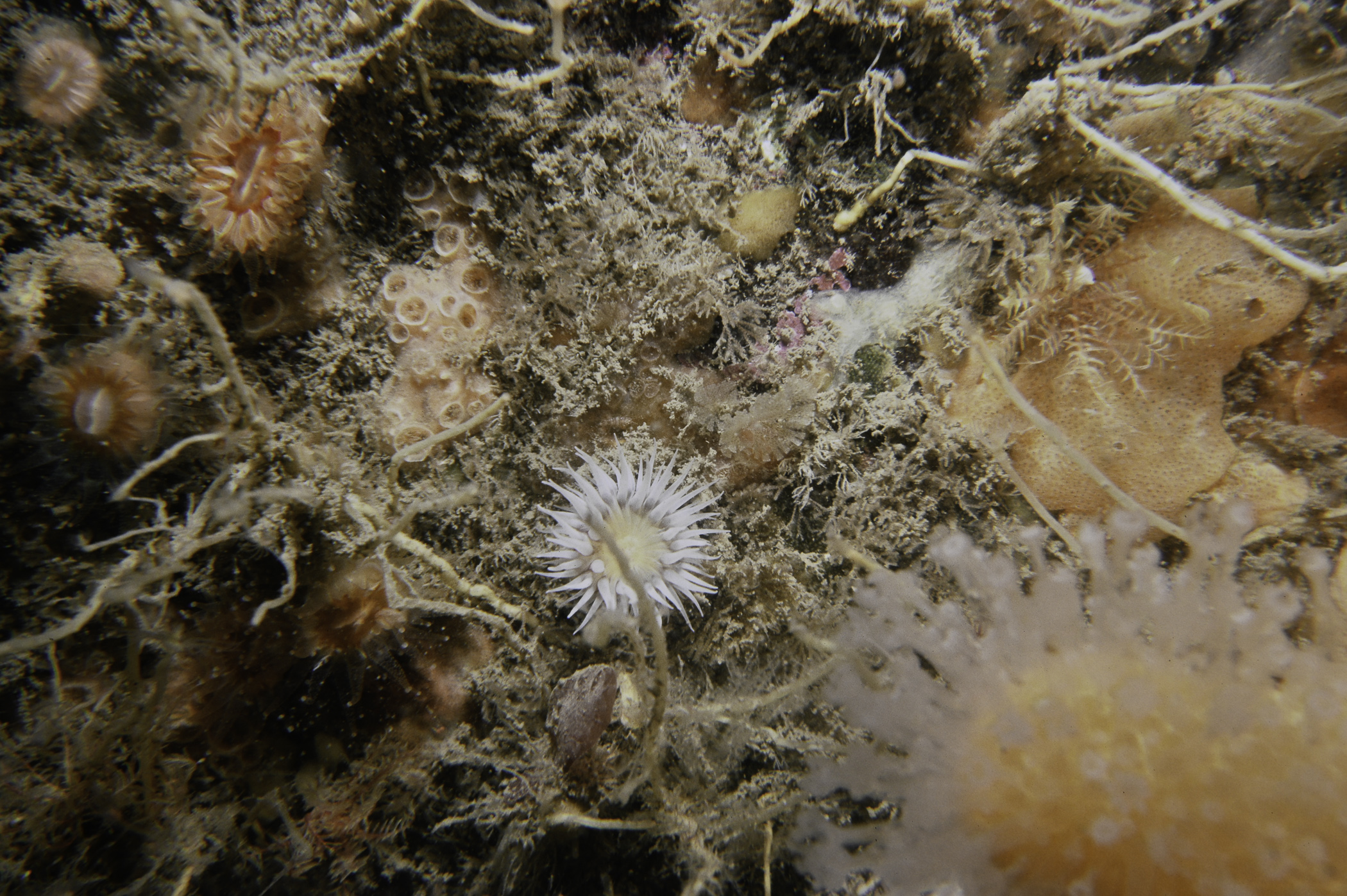
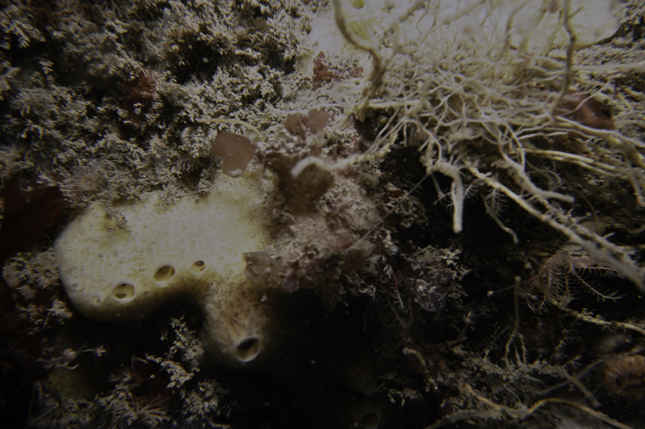
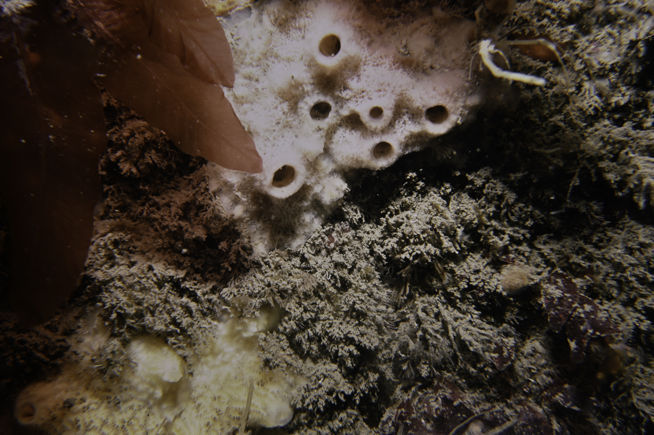
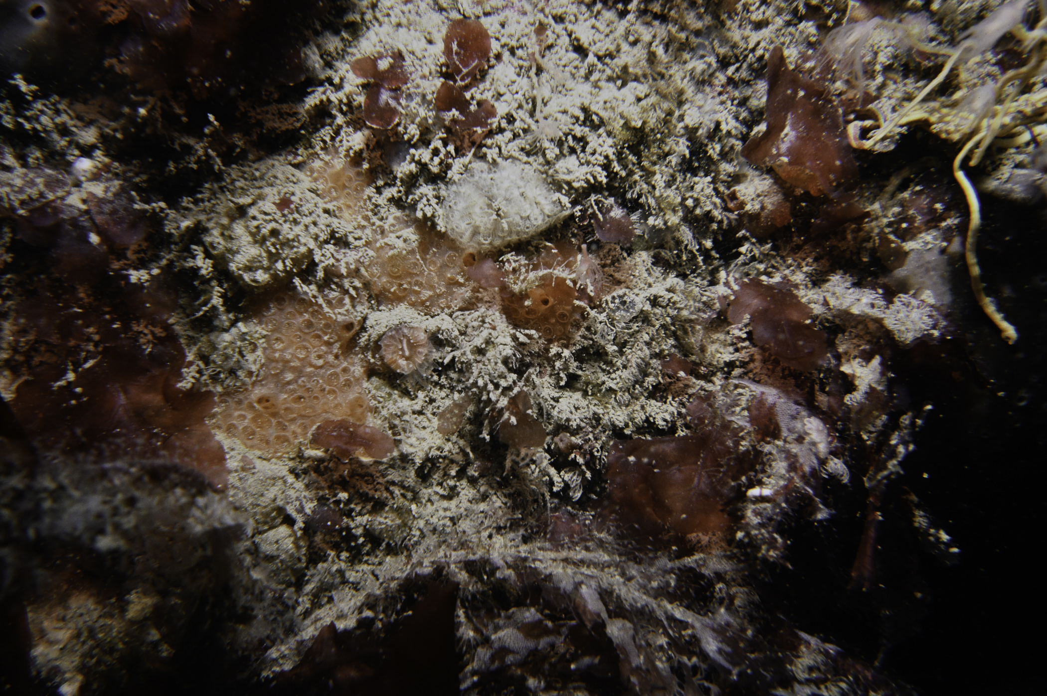
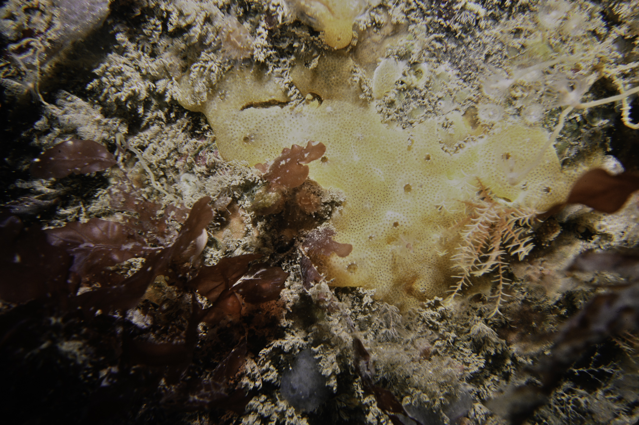
Site Description: Flat rock terrace alongside with small caves at base. Flat rock with kelp & red algae caves with rich sponge cover. One of the small caves had roof covered with Parerythropodium coralloides in 1988.
Species list (67 species recorded):
PORIFERA
Sycon ciliatum
Halisarca dujardinii
Spongionella pulchella
Dysidea fragilis
Pachymatisma johnstonia
Dercitus bucklandi
Axinella infundibuliformis
Stelligera montagui
Tethya citrina
Hemimycale columella
Phorbas fictitius
Myxilla incrustans
Suberites carnosus
Haliclona sp.
Haliclona urceolus
Haliclona viscosa
CNIDARIA
Tubularia indivisa
Ectopleura larynx
Eudendrium annulatum
Garveia nutans
Halecium halecinum
Sertularella gayi
Kirchenpaueria pinnata
Nemertesia antennina
Alcyonium digitatum
Metridium senile
Cylista elegans
Actinothoe sphyrodeta
Phellia gausapata
Corynactis viridis
Caryophyllia smithii
CRUSTACEA
Cancer pagurus
MOLLUSCA
Calliostoma zizyphinum
Tritonia hombergii
Polycera faeroensis
Cadlina laevis
Doto sp.
Coryphella browni
Coryphella lineata
Edmundsella pedata
Talochlamys pusio
BRYOZOA
Alcyonidium diaphanum
Securiflustra securifrons
Bugulina flabellata
Bicellariella ciliata
Cellaria sinuosa
ECHINODERMATA
Antedon bifida
Henricia oculata
Asterias rubens
TUNICATA
Polyclinum aurantium
Morchellium argus
Aplidium nordmanni
Didemnum sp.
Ciona intestinalis
Corella parallelogramma
Ascidiella scabra
Ascidia mentula
Polycarpa scuba
Botryllus schlosseri
Molgula complanata
RHODOPHYTA
Kallymenia reniformis
Schottera nicaeensis
Plocamium cartilagineum
Lomentaria orcadensis
Rhodymenia pseudopalmata
Cryptopleura ramosa
Delesseria sanguinea
No biotope record.
PORIFERA
Sycon ciliatum P
Halisarca dujardinii P
Spongionella pulchella P
Dysidea fragilis P
Pachymatisma johnstonia P
Dercitus bucklandi P
Axinella infundibuliformis P
Stelligera montagui P
Tethya citrina P
Hemimycale columella P
Phorbas fictitius P
Myxilla incrustans P
Suberites carnosus P
Haliclona sp. P
Haliclona urceolus P
Haliclona viscosa P
CNIDARIA
Tubularia indivisa P
Ectopleura larynx P
Eudendrium annulatum P
Garveia nutans P
Halecium halecinum P
Sertularella gayi P
Kirchenpaueria pinnata P
Nemertesia antennina P
Alcyonium digitatum P
Metridium senile P
Cylista elegans P
Actinothoe sphyrodeta P
Phellia gausapata P
Corynactis viridis P
Caryophyllia smithii P
CRUSTACEA
Cancer pagurus P
MOLLUSCA
Calliostoma zizyphinum P
Tritonia hombergii P
Polycera faeroensis P
Cadlina laevis P
Doto sp. P
Coryphella browni P
Coryphella lineata P
Edmundsella pedata P
Talochlamys pusio P
BRYOZOA
Alcyonidium diaphanum P
Securiflustra securifrons P
Bugulina flabellata P
Bicellariella ciliata P
Cellaria sinuosa P
ECHINODERMATA
Antedon bifida P
Henricia oculata P
Asterias rubens P
TUNICATA
Polyclinum aurantium P
Morchellium argus P
Aplidium nordmanni P
Didemnum sp. P
Ciona intestinalis P
Corella parallelogramma P
Ascidiella scabra P
Ascidia mentula P
Polycarpa scuba P
Botryllus schlosseri P
Molgula complanata P
RHODOPHYTA
Kallymenia reniformis P
Schottera nicaeensis P
Plocamium cartilagineum P
Lomentaria orcadensis P
Rhodymenia pseudopalmata P
Cryptopleura ramosa P
Delesseria sanguinea P
| Previous site | Next site |
