Marine Biodiversity Data Portal - NI
W of Colin Rock, Strangford Lough.
Survey number: 550 Event number: 19830602/02 Date: 1983-06-02 GPS: 54.42567,-5.60550. Depth: -24.0 to -25.0 m. [ View map ]
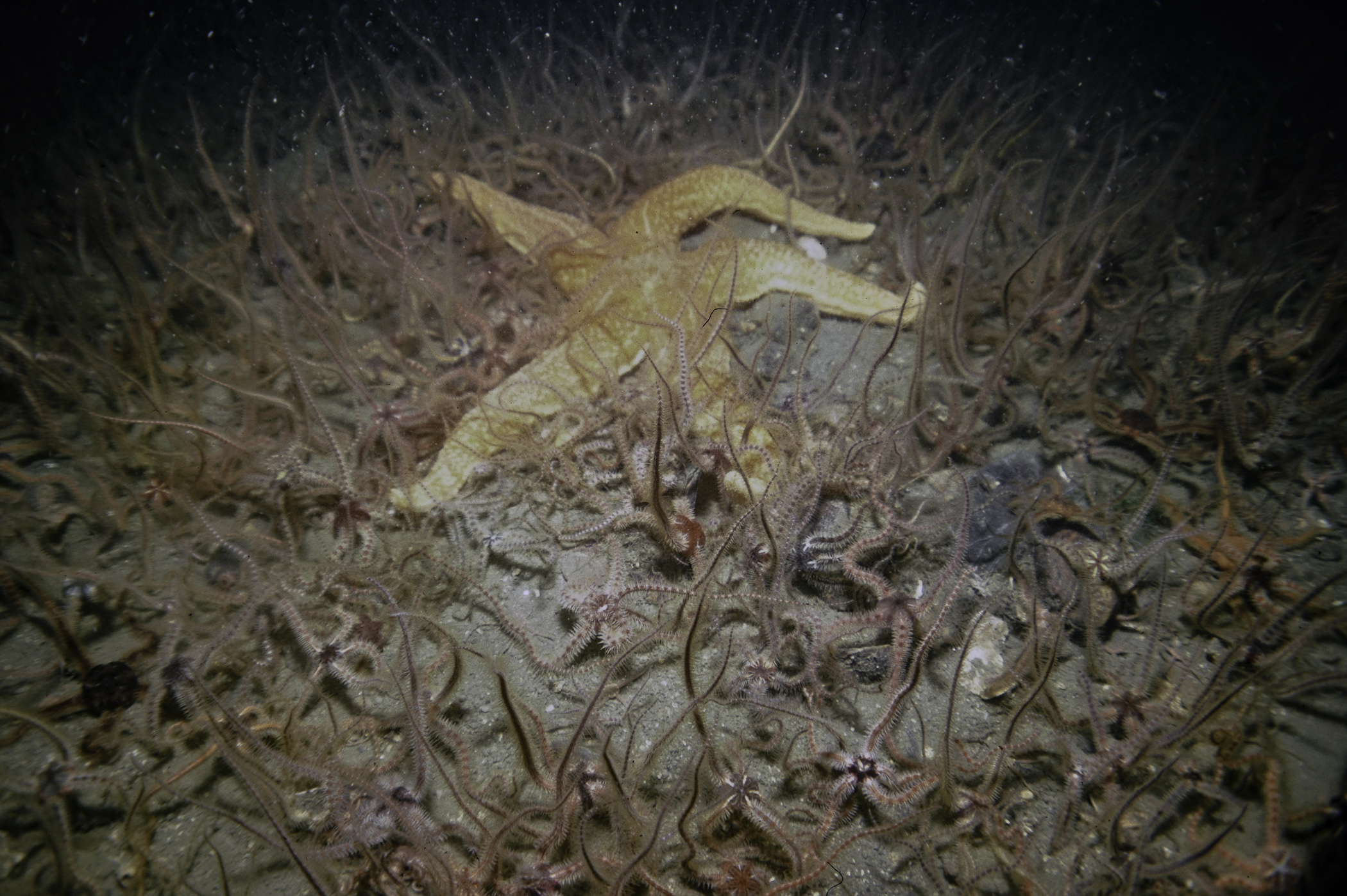
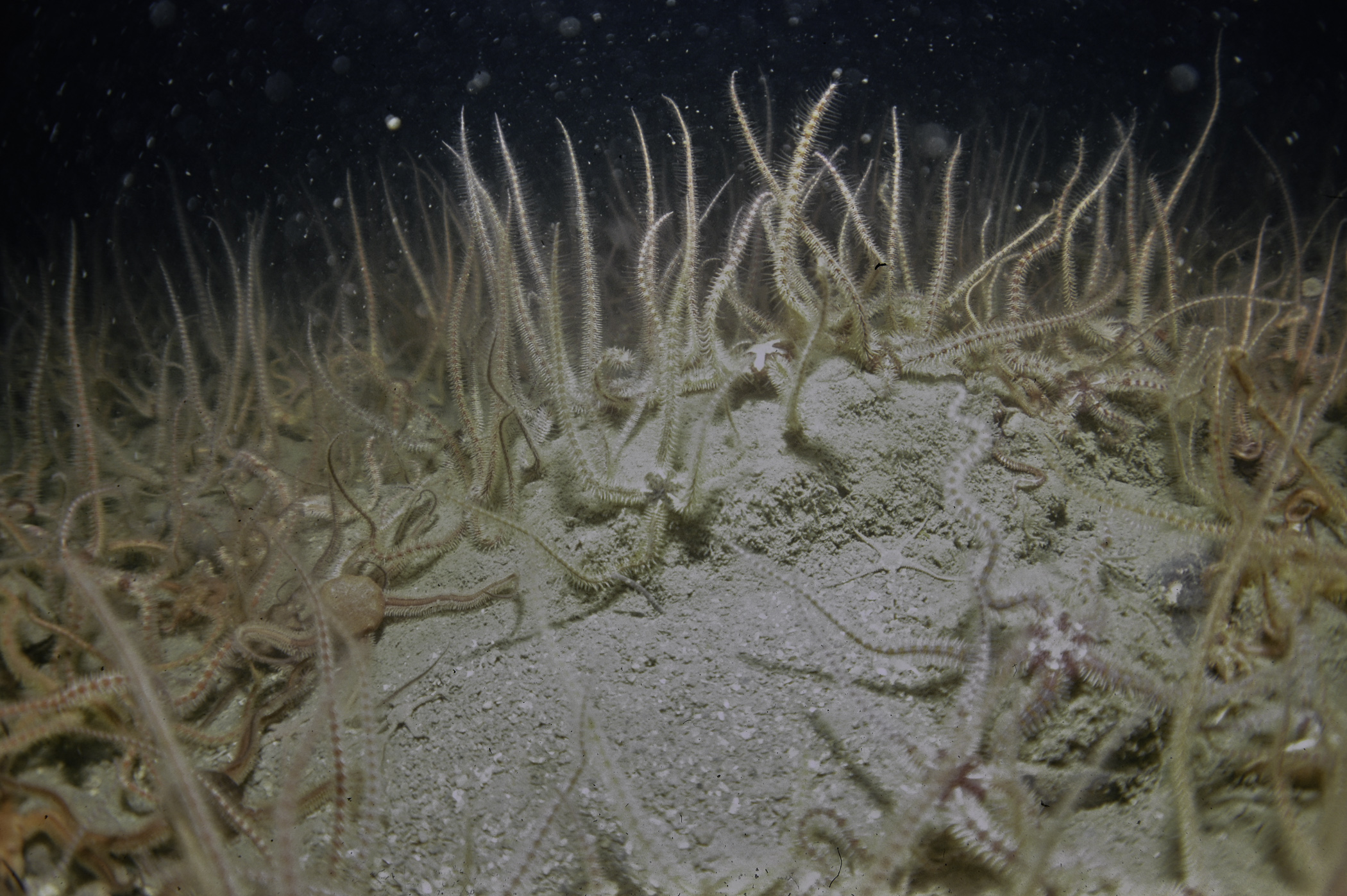
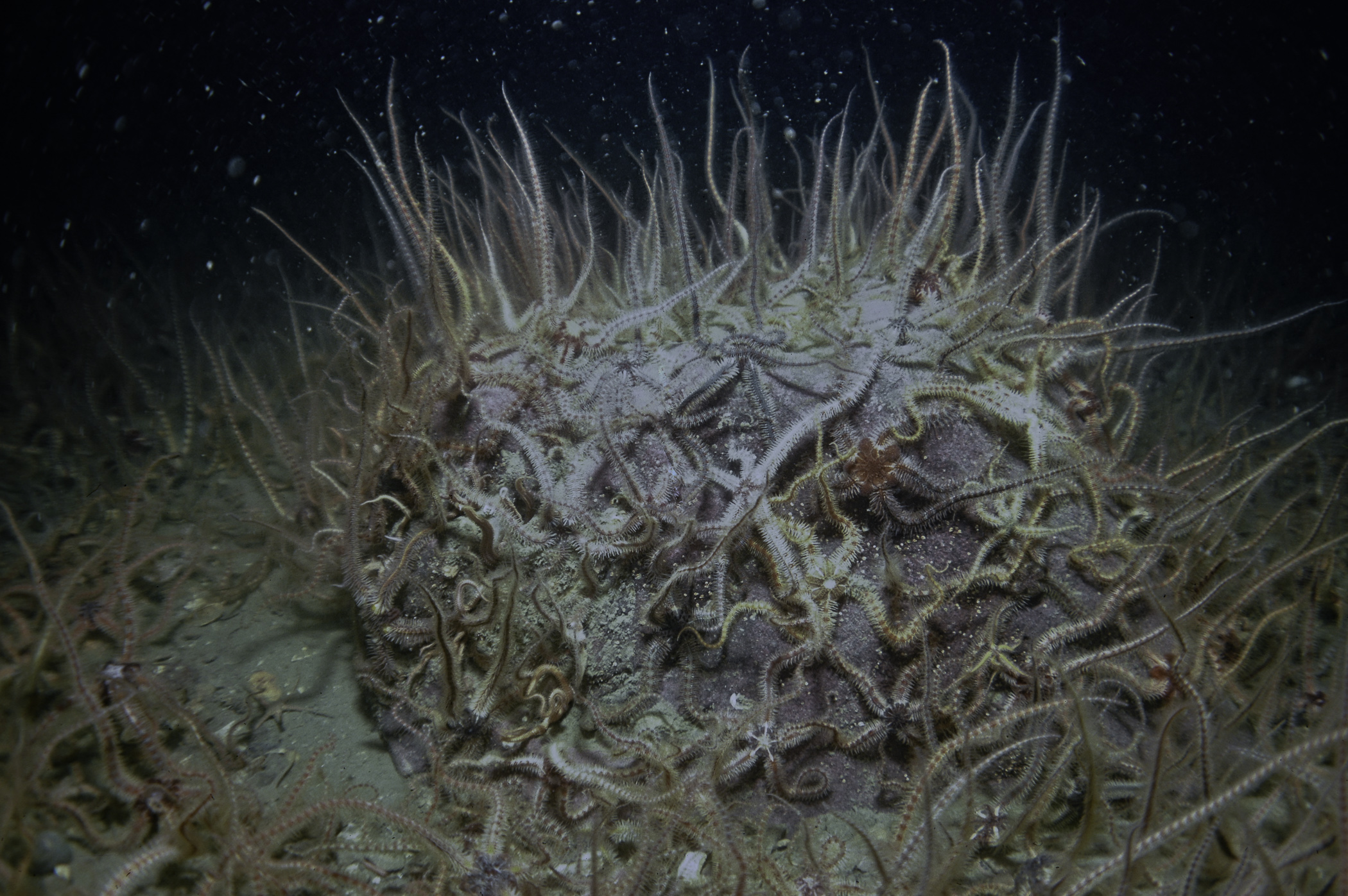
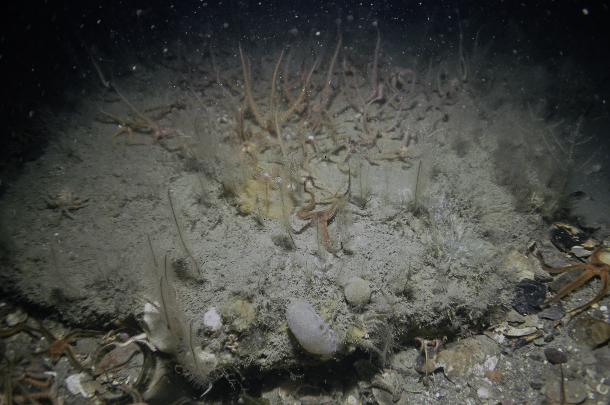
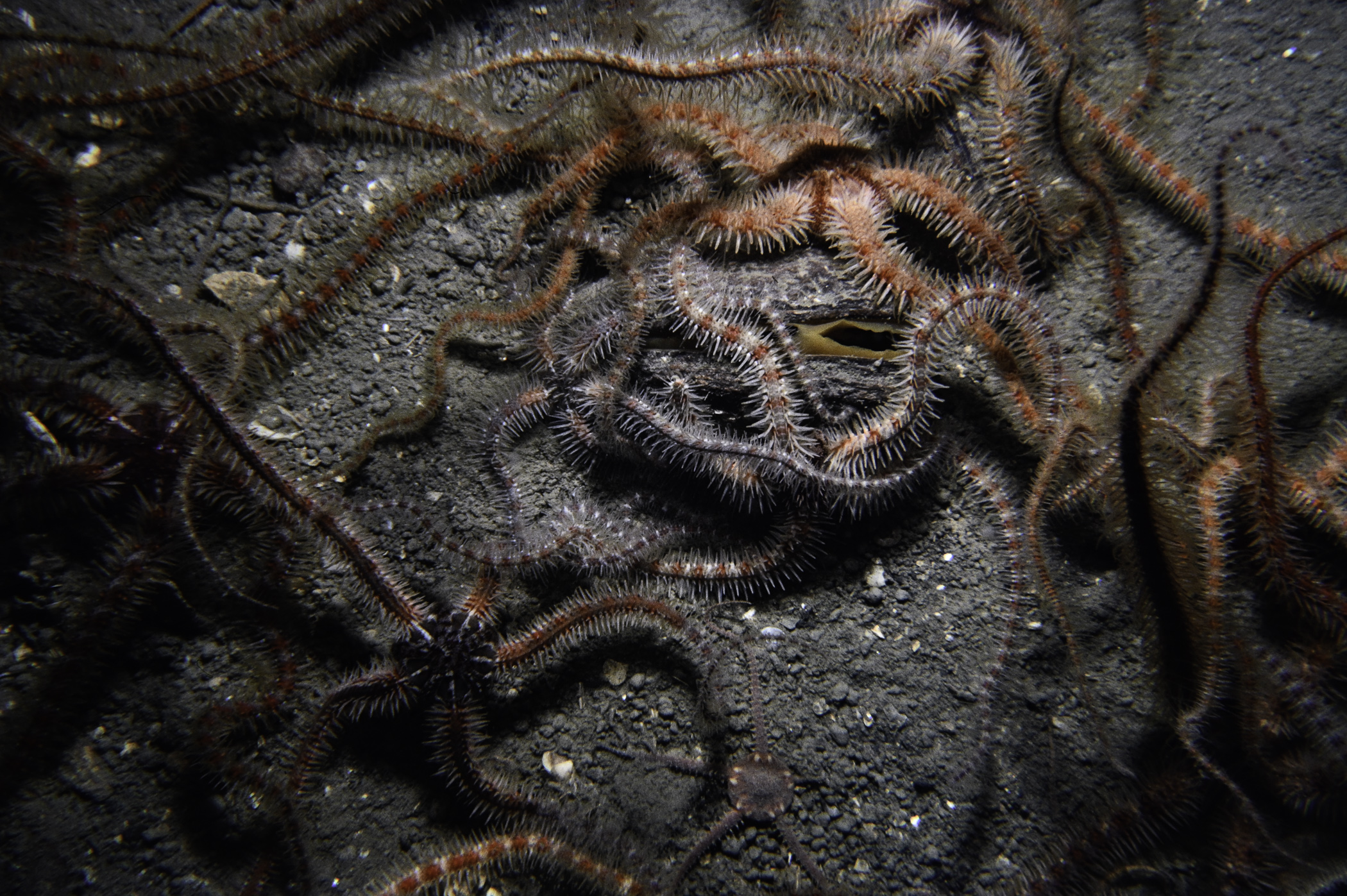
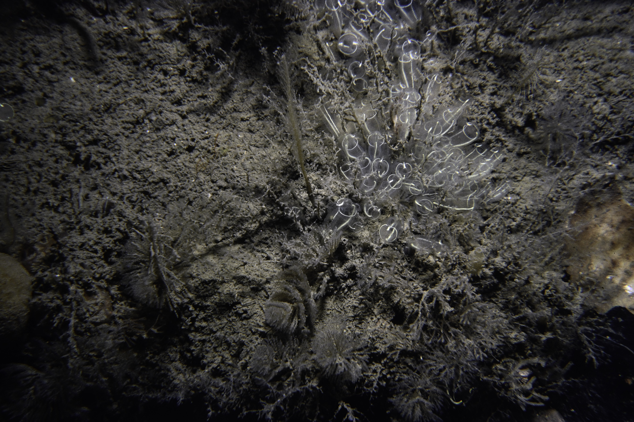
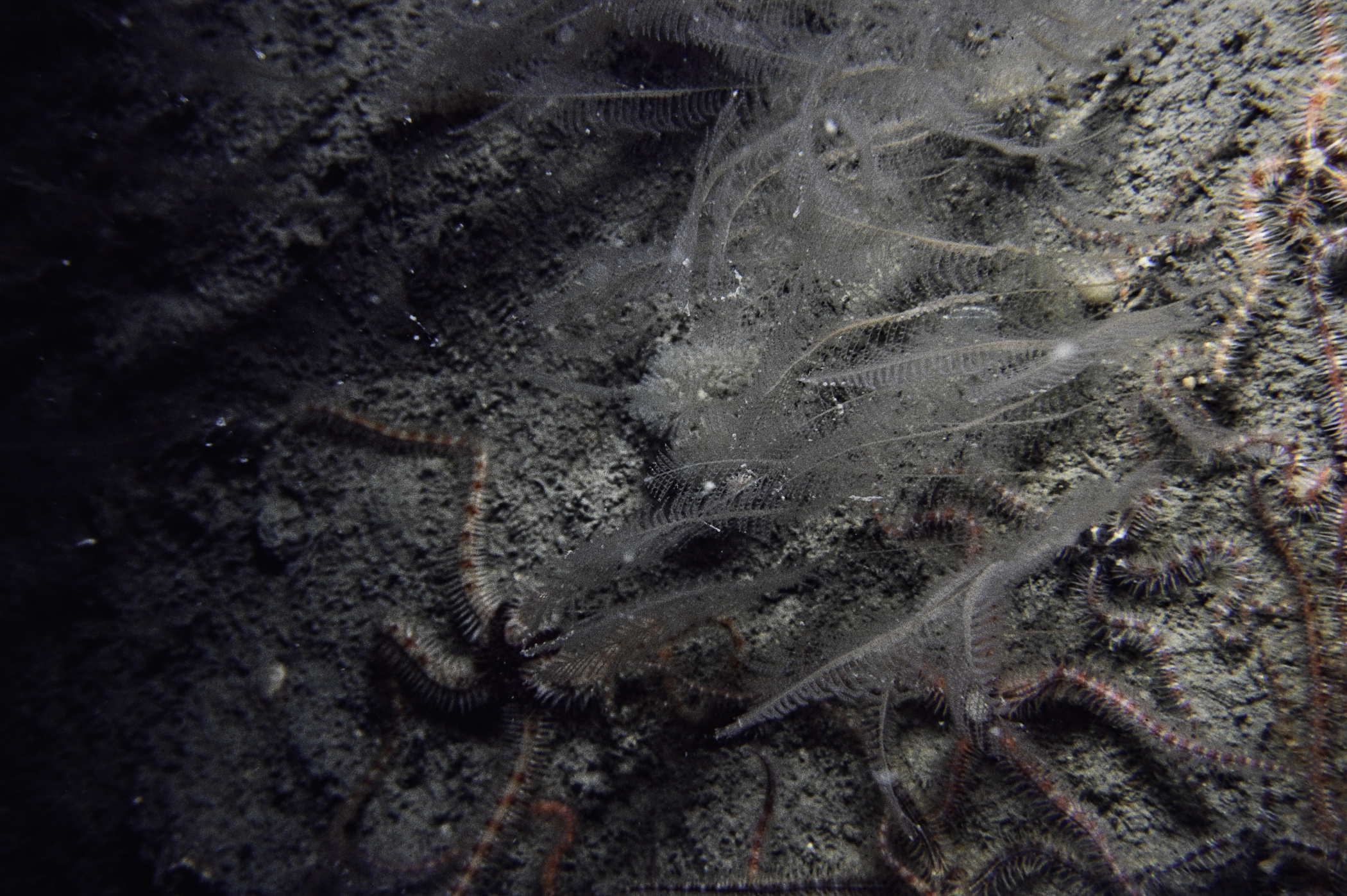
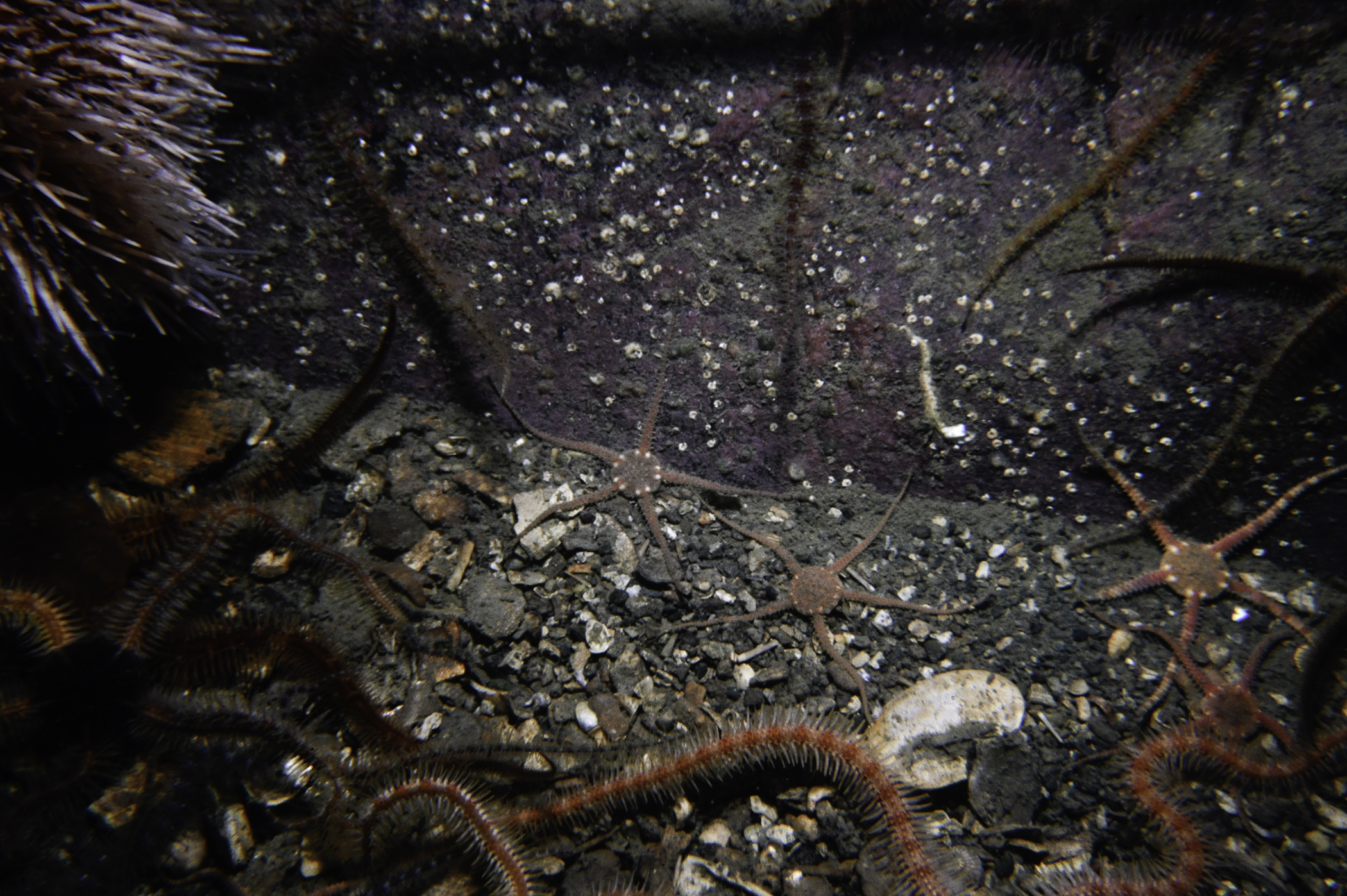
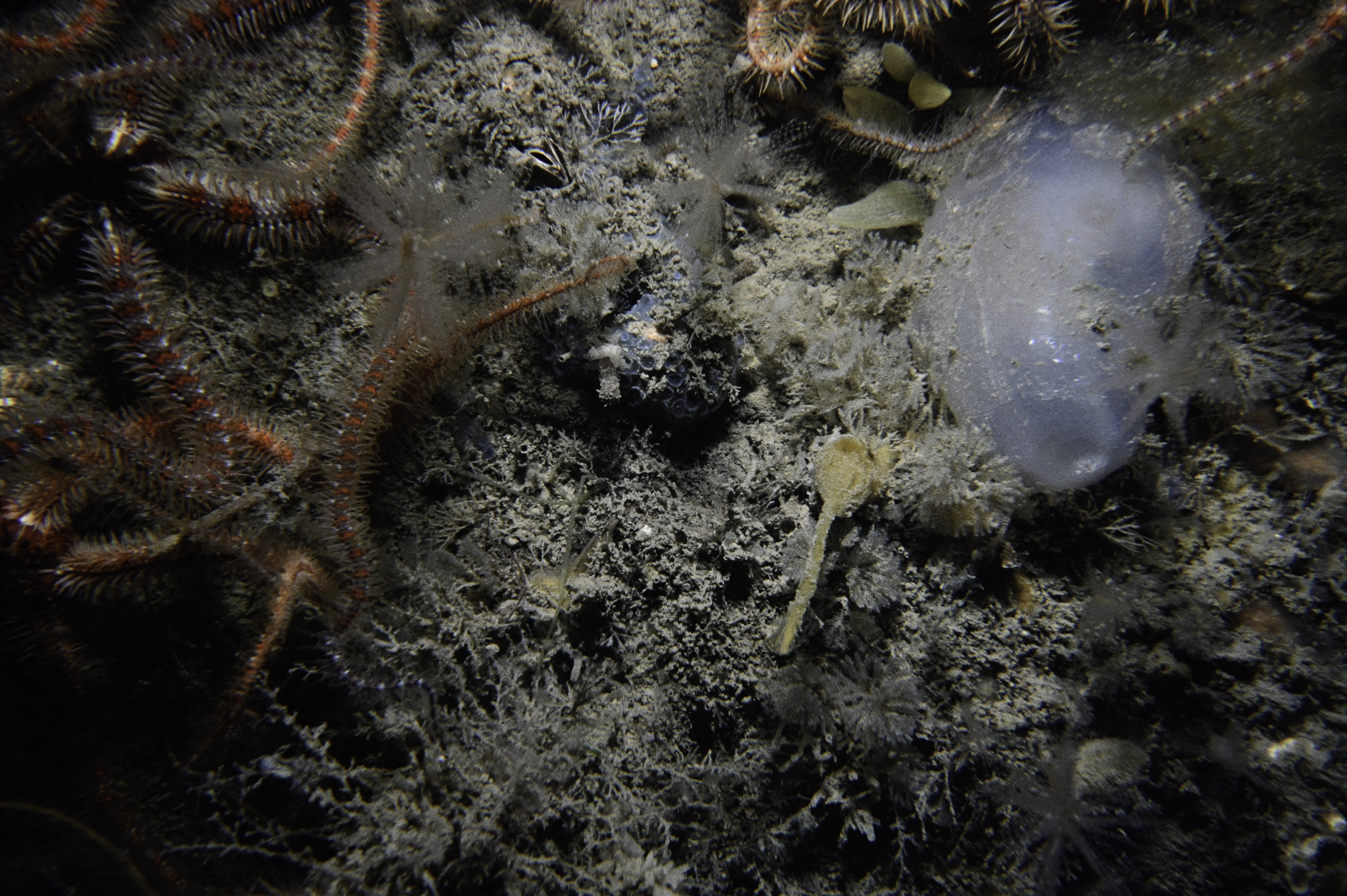
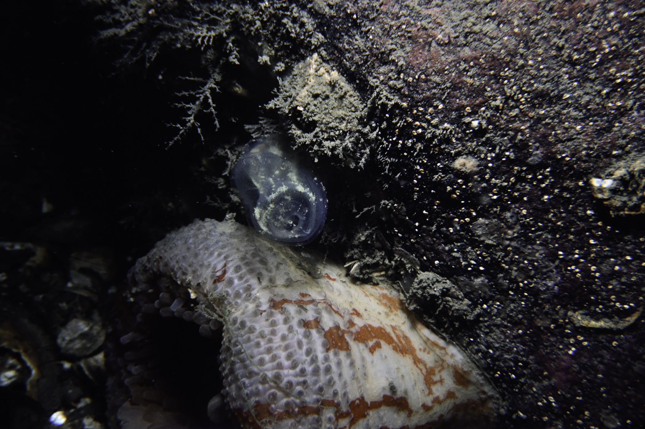
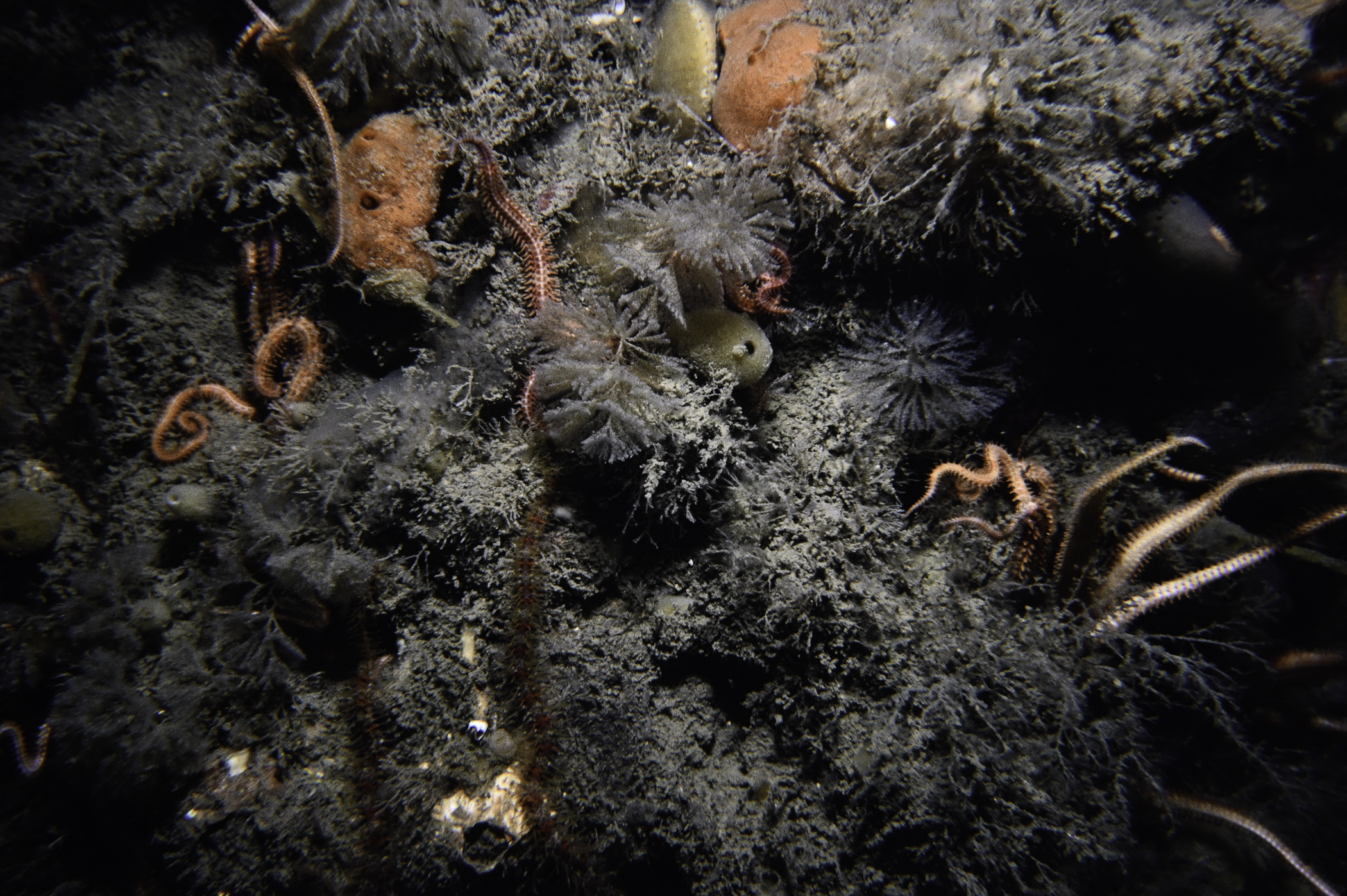
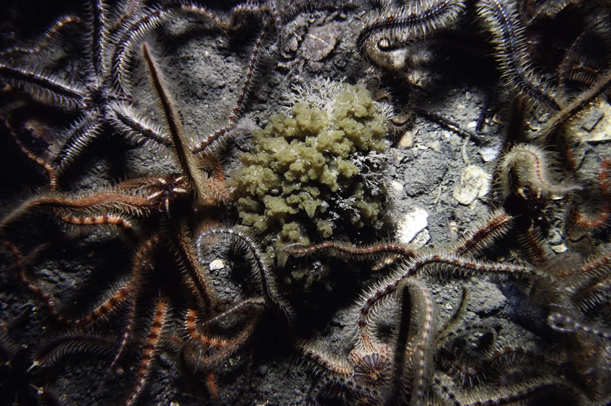
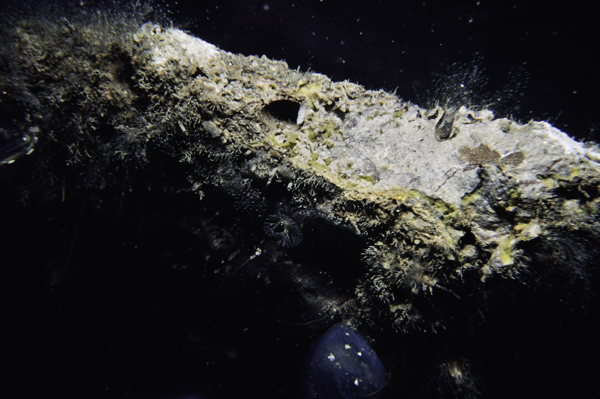
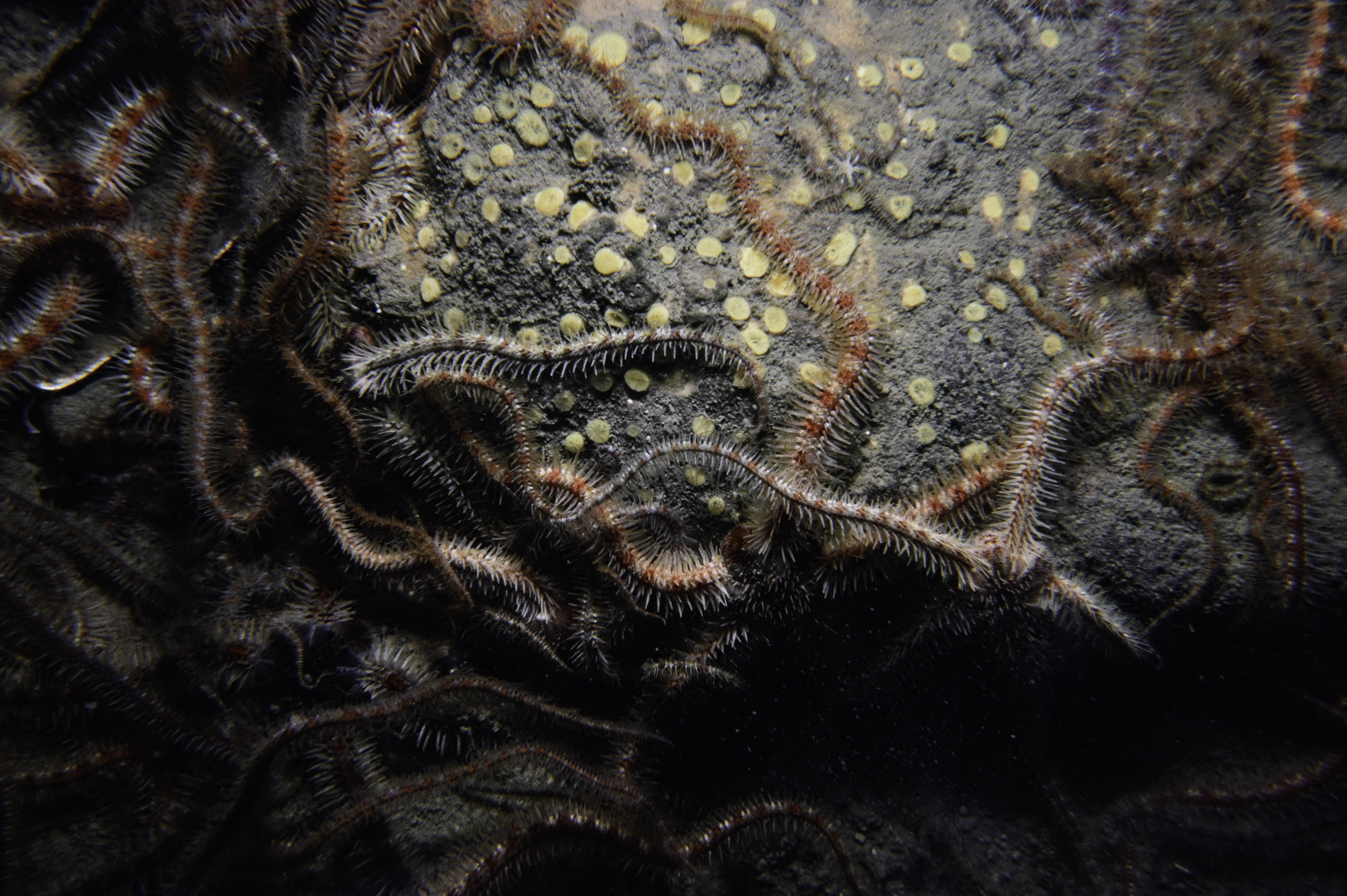
Site Description: Flat muddy gravel dominated by O. fragilis. Two types of boulder present-bare igneous and rounded and heavily encrusted bored limestones.
 |
 |
 |
 |
 |
 |
 |
 |
 |
 |
 |
 |
 |
 |
 |
[ More images ] (15/18)
Species list (58 species recorded):
PORIFERA
Leucosolenia sp.
Sycon ciliatum
Oscarella sp.
Polymastia penicillus
Tethya citrina
Cliona celata
Hymedesmia sp.
Hymedesmia paupertas
Microciona armata
Mycale rotalis
Myxilla rosacea
Suberites carnosus
CNIDARIA
Eudendrium sp.
Halecium halecinum
Sertularella polyzonias
Kirchenpaueria pinnata
Nemertesia antennina
Nemertesia ramosa
Plumularia setacea
Obelia sp.
Alcyonium digitatum
Urticina eques
ANNELIDA
Pomatoceros triqueter
CRUSTACEA
Pagurus bernhardus
Cancer pagurus
MOLLUSCA
Leptochiton asellus
Emarginula (Emarginula) fissura
Eubranchus tricolor
Modiolus modiolus
Mimachlamys varia
BRYOZOA
Bugula avicularia
ECHINODERMATA
Crossaster papposus
Asterias rubens
Leptasterias muelleri
Ophiothrix fragilis
Ophiocomina nigra
Ophiopholis aculeata
Ophiura albida
Echinus esculentus
TUNICATA
Clavelina lepadiformis
Polyclinum aurantium
Synoicum pulmonaria
Morchellium argus
Diplosoma listerianum
Ciona intestinalis
Corella parallelogramma
Ascidia mentula
Polycarpa pomaria
RHODOPHYTA
Calliblepharis ciliata
Halarachnion ligulatum
Metacallophyllis laciniata
Plocamium cartilagineum
Membranoptera alata
Phycodrys rubens
Odonthalia dentata
Polysiphonia stricta
CHROMOPHYTA
Desmarestia aculeata
Desmarestia viridis
No biotope record.
PORIFERA
Leucosolenia sp. P
Sycon ciliatum P
Oscarella sp. P
Polymastia penicillus P
Tethya citrina P
Cliona celata P
Hymedesmia sp. P
Hymedesmia paupertas P
Microciona armata P
Mycale rotalis P
Myxilla rosacea P
Suberites carnosus P
CNIDARIA
Eudendrium sp. P
Halecium halecinum P
Sertularella polyzonias P
Kirchenpaueria pinnata P
Nemertesia antennina P
Nemertesia ramosa P
Plumularia setacea P
Obelia sp. P
Alcyonium digitatum P
Urticina eques P
ANNELIDA
Pomatoceros triqueter P
CRUSTACEA
Pagurus bernhardus P
Cancer pagurus P
MOLLUSCA
Leptochiton asellus P
Emarginula (Emarginula) fissura P
Eubranchus tricolor P
Modiolus modiolus P
Mimachlamys varia P
BRYOZOA
Bugula avicularia P
ECHINODERMATA
Crossaster papposus P
Asterias rubens P
Leptasterias muelleri P
Ophiothrix fragilis P
Ophiocomina nigra P
Ophiopholis aculeata P
Ophiura albida P
Echinus esculentus P
TUNICATA
Clavelina lepadiformis P
Polyclinum aurantium P
Synoicum pulmonaria P
Morchellium argus P
Diplosoma listerianum P
Ciona intestinalis P
Corella parallelogramma P
Ascidia mentula P
Polycarpa pomaria P
RHODOPHYTA
Calliblepharis ciliata P
Halarachnion ligulatum P
Metacallophyllis laciniata P
Plocamium cartilagineum P
Membranoptera alata P
Phycodrys rubens P
Odonthalia dentata P
Polysiphonia stricta P
CHROMOPHYTA
Desmarestia aculeata P
Desmarestia viridis P
| Previous site | Next site |