Marine Biodiversity Data Portal - NI
W Larry Bane Head, Ballintoy.
Survey number: 550 Event number: 19830517/02 Date: 1983-05-17 GPS: 55.24633,-6.35417. Depth: -8.0 to -9.0 m. [ View map ]
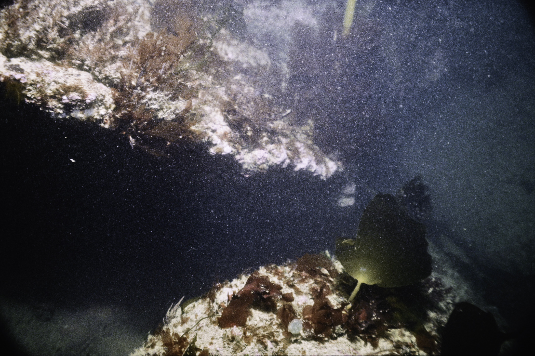
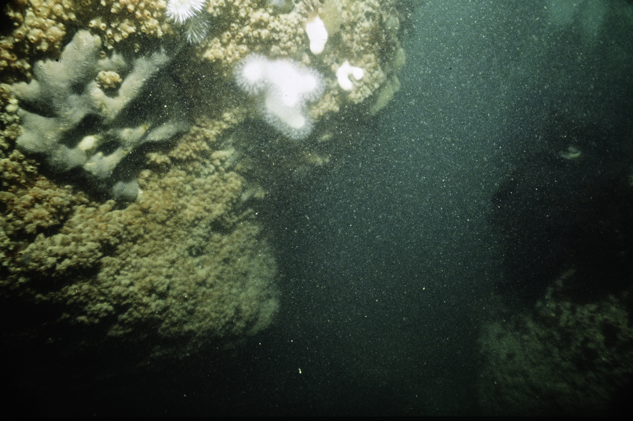
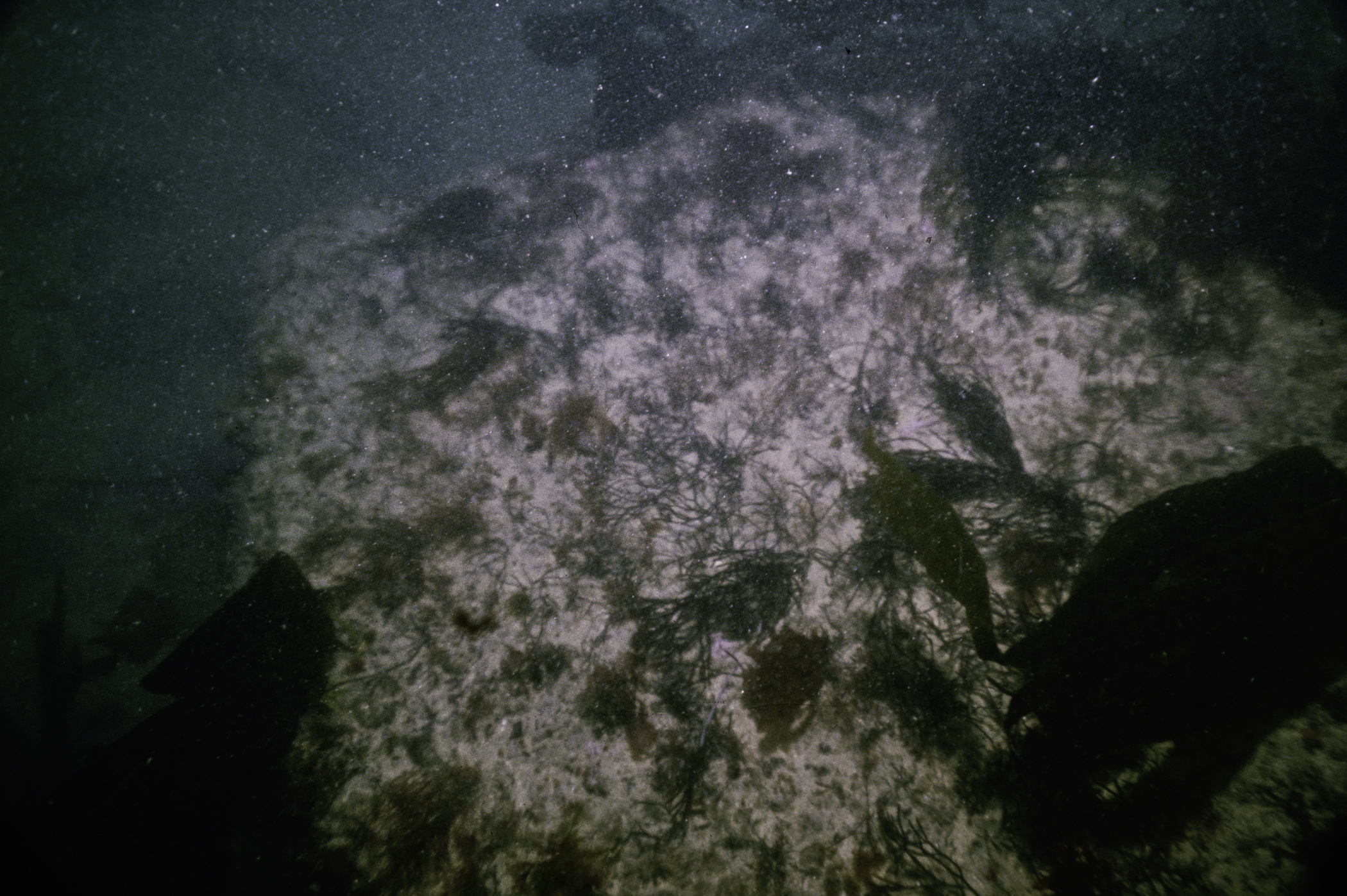
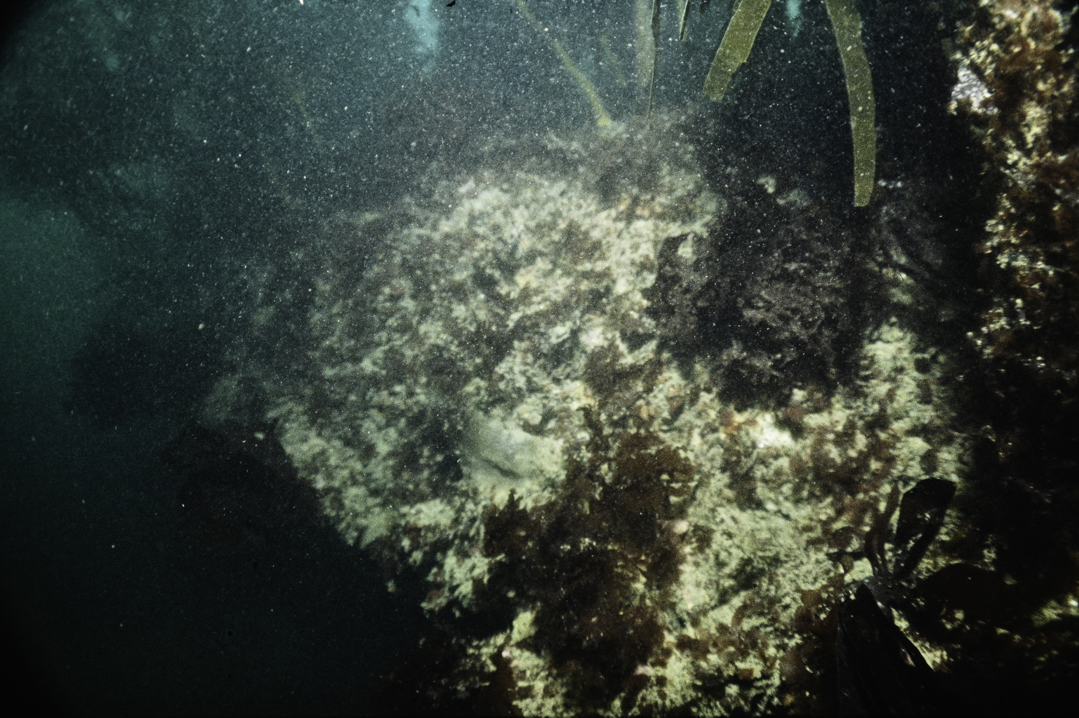
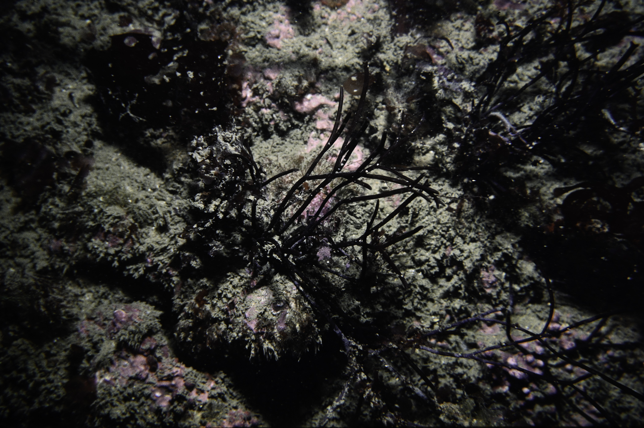
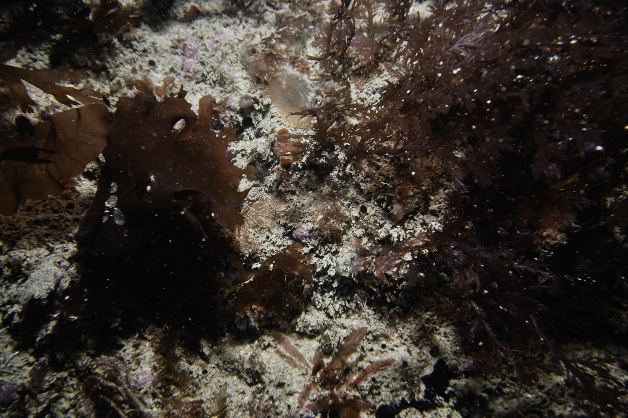
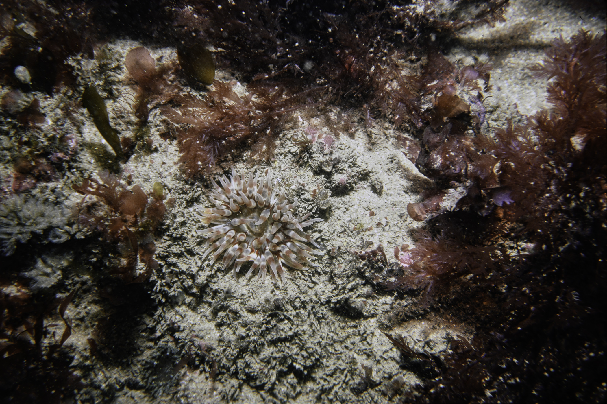
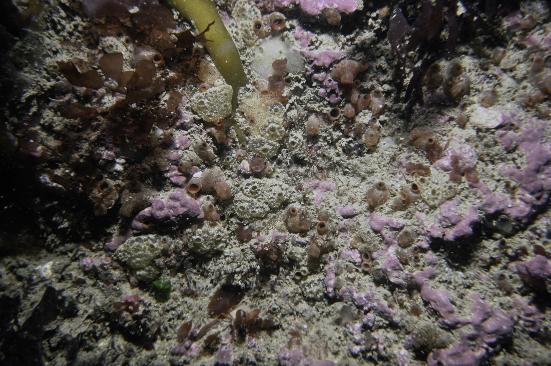
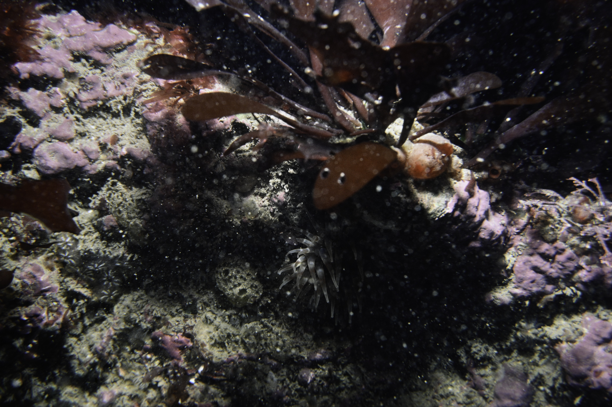
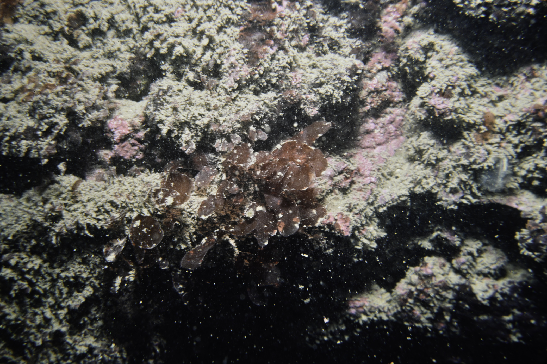
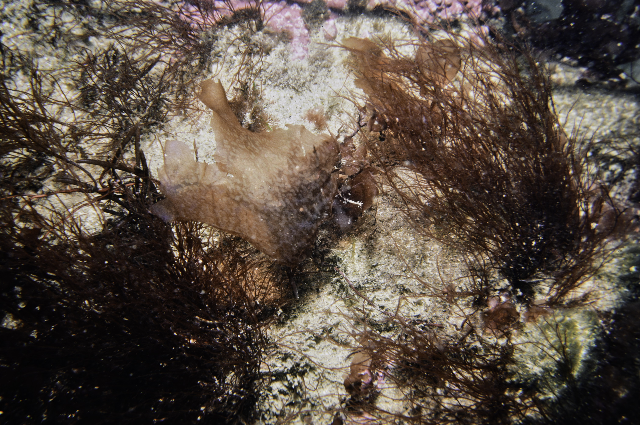
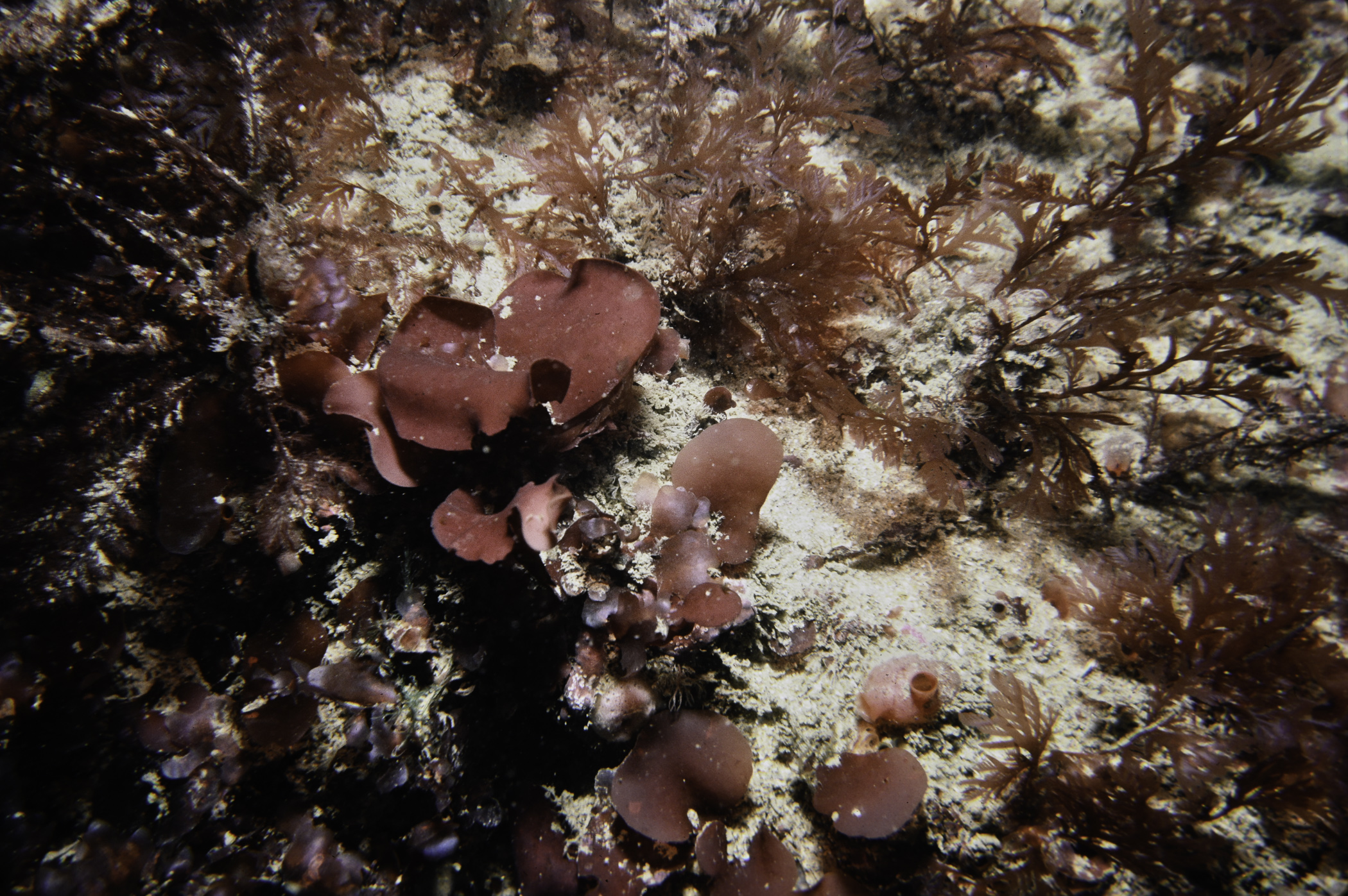
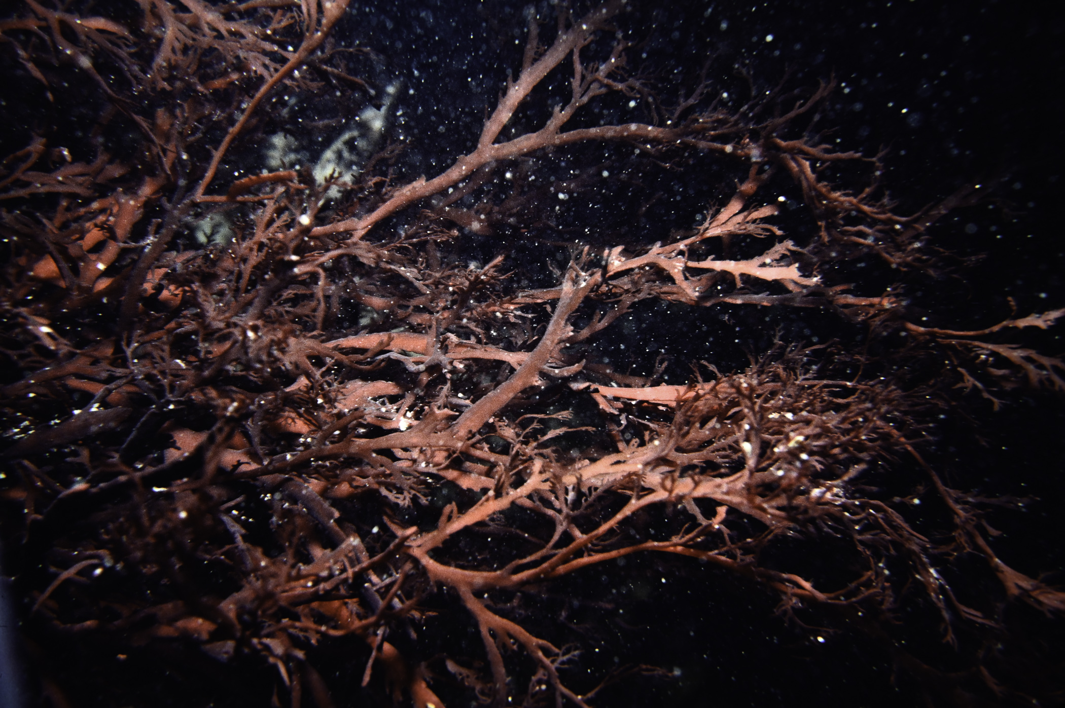
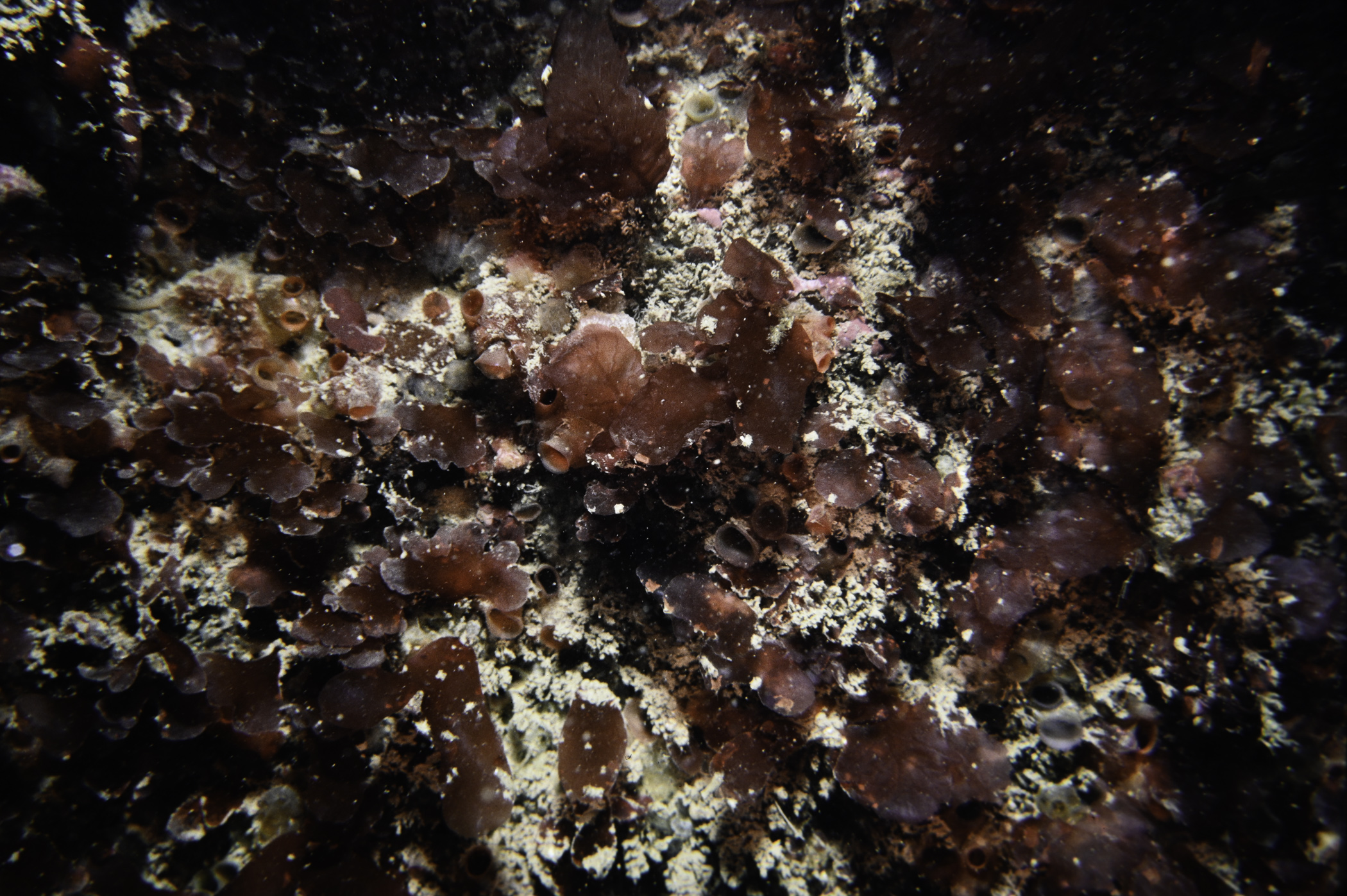
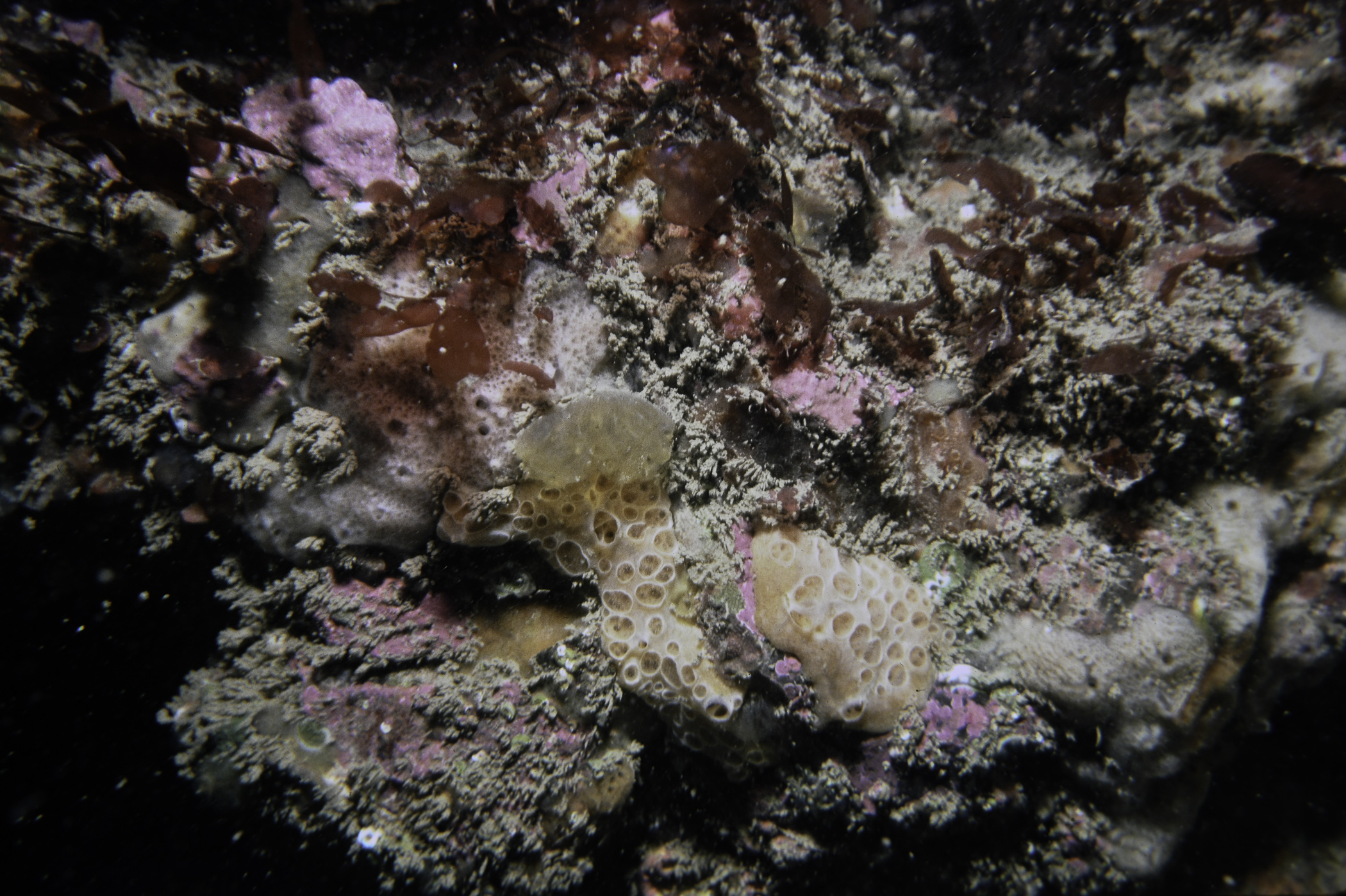
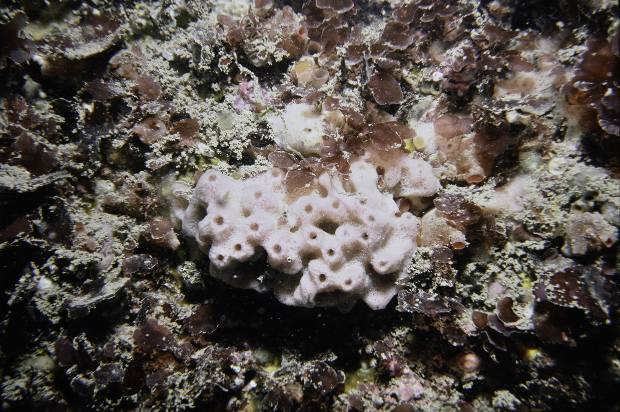
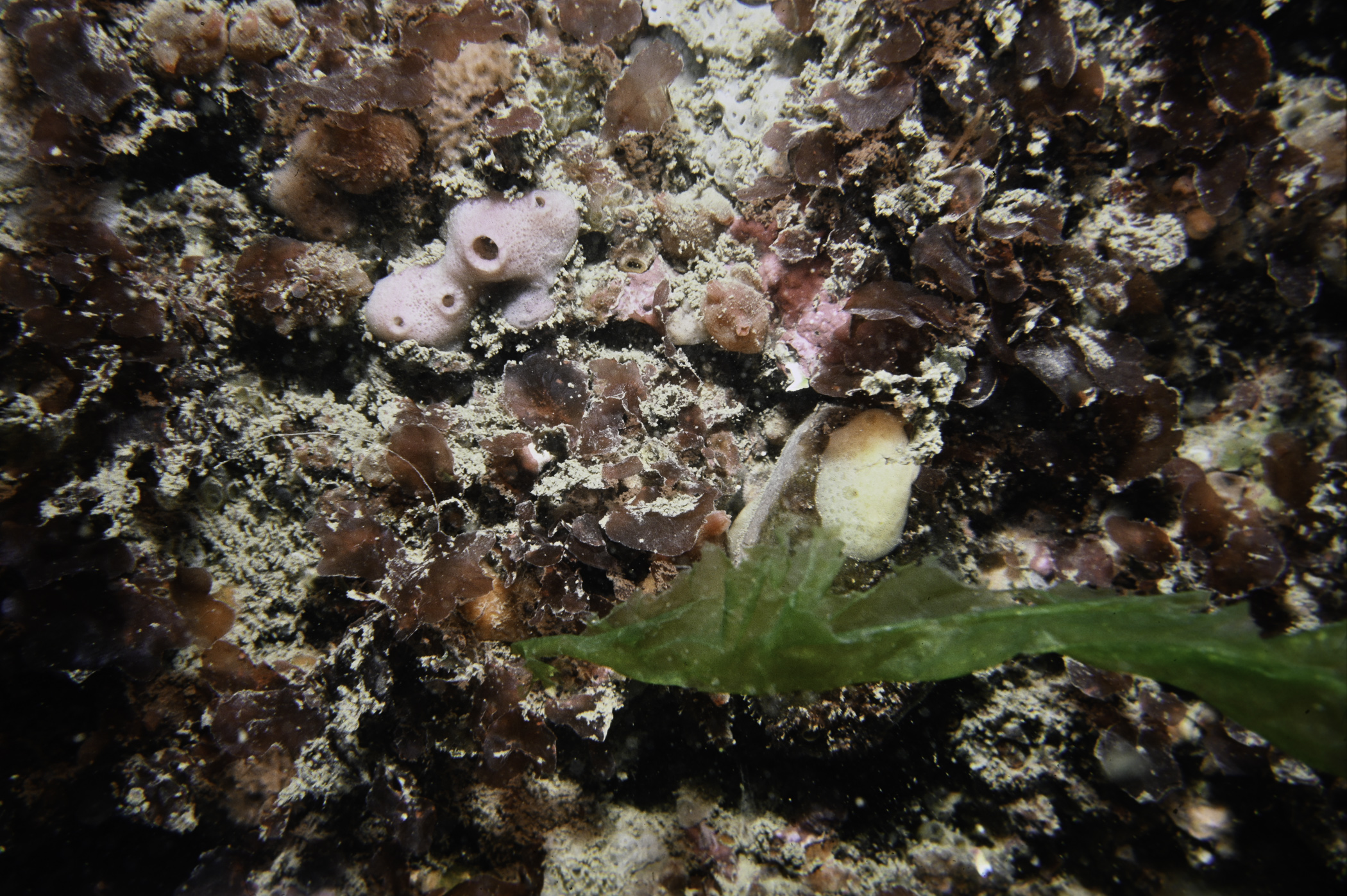
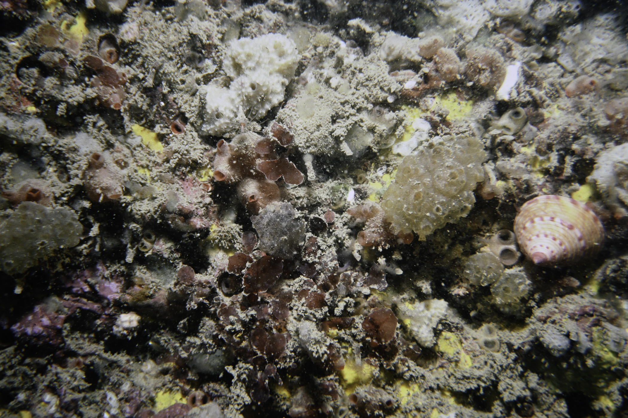
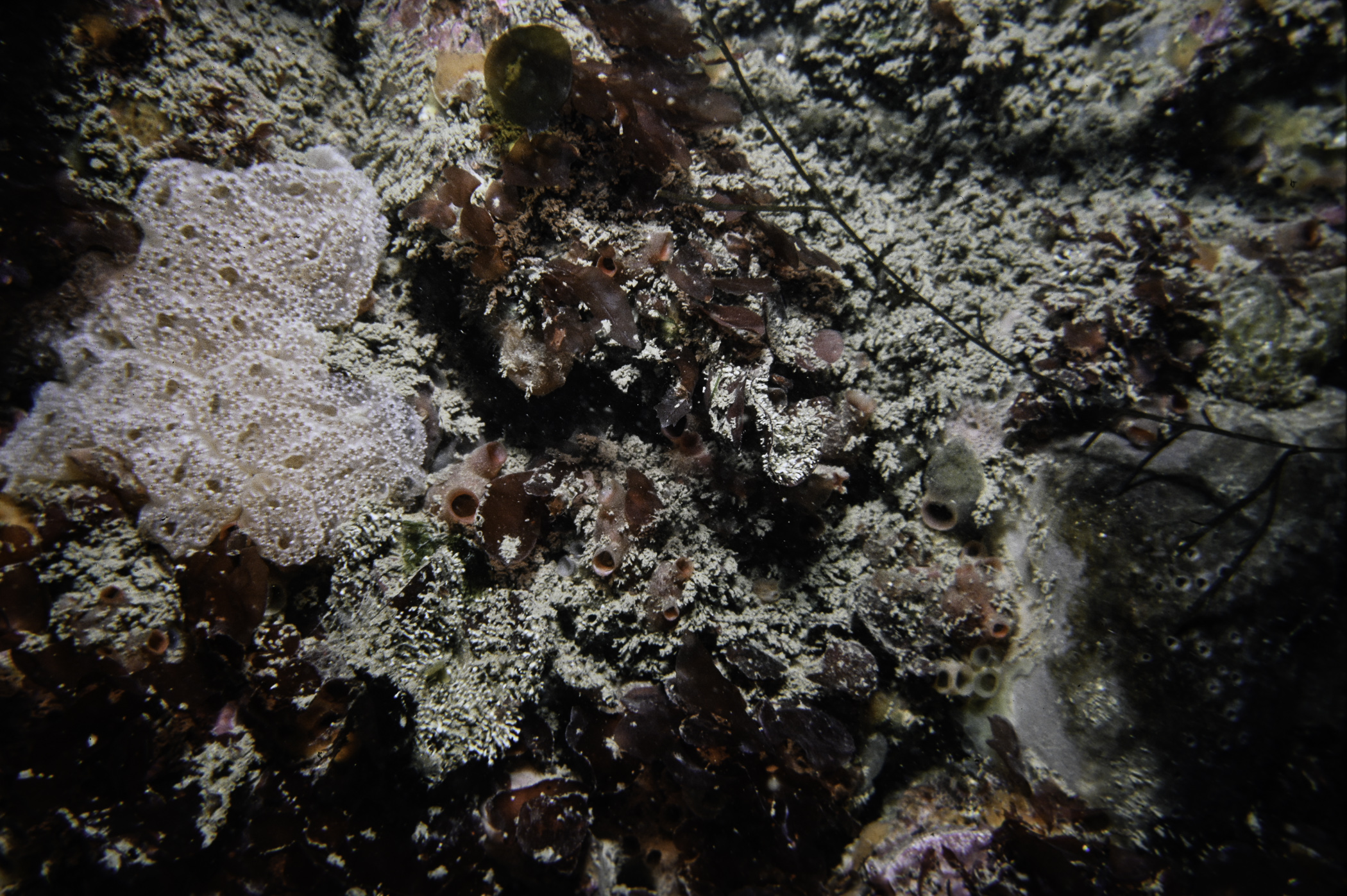
Site Description: Channel between Is. and headland. Huge limestone boulders with some flat scoured bedrock showing and smooth cobble. Sand on all flat surfaces.
Species list (66 species recorded):
PORIFERA
Clathrina coriacea
Grantia compressa
Dysidea fragilis
Stelletta grubii
Stryphnus ponderosus
Pachymatisma johnstonia
Dercitus bucklandi
Tethya citrina
Hemimycale columella
Haliclona viscosa
CNIDARIA
Hydrallmania falcata
Alcyonium digitatum
Urticina felina
Cylista elegans
Cereus pedunculatus
Actinothoe sphyrodeta
MOLLUSCA
Steromphala cineraria
Calliostoma zizyphinum
Talochlamys pusio
BRYOZOA
Crisia eburnea
Membranipora membranacea
Bicellariella ciliata
ECHINODERMATA
Henricia oculata
TUNICATA
Clavelina lepadiformis
Polyclinum aurantium
Synoicum pulmonaria
Morchellium argus
Aplidium nordmanni
Dendrodoa grossularia
Botryllus schlosseri
Botrylloides leachi
RHODOPHYTA
Porphyra sp.
Schmitziella endophloea
Corallina officinalis
Dilsea carnosa
Furcellaria lumbricalis
Metacallophyllis laciniata
Kallymenia reniformis
Meredithia microphylla
Phyllophora crispa
Phyllophora pseudoceranoides
Schottera nicaeensis
Polyides rotundus
Sphaerococcus coronopifolius
Plocamium cartilagineum
Lomentaria clavellosa
Lomentaria orcadensis
Ceramium sp.
Pterothamnion plumula
Ptilota gunneri
Cryptopleura ramosa
Delesseria sanguinea
Hypoglossum hypoglossoides
Nitophyllum punctatum
Phycodrys rubens
Brongniartella byssoides
Odonthalia dentata
Polysiphonia sp.
Polysiphonia nigra
Pterosiphonia parasitica
CHROMOPHYTA
Desmarestia aculeata
Laminaria hyperborea
Saccharina latissima
Saccorhiza polyschides
CHLOROPHYTA
Cladophora sp.
Cladophora pellucida
No biotope record.
PORIFERA
Clathrina coriacea P
Grantia compressa P
Dysidea fragilis P
Stelletta grubii P
Stryphnus ponderosus P
Pachymatisma johnstonia P
Dercitus bucklandi P
Tethya citrina P
Hemimycale columella P
Haliclona viscosa P
CNIDARIA
Hydrallmania falcata P
Alcyonium digitatum P
Urticina felina P
Cylista elegans P
Cereus pedunculatus P
Actinothoe sphyrodeta P
MOLLUSCA
Steromphala cineraria P
Calliostoma zizyphinum P
Talochlamys pusio P
BRYOZOA
Crisia eburnea P
Membranipora membranacea P
Bicellariella ciliata P
ECHINODERMATA
Henricia oculata P
TUNICATA
Clavelina lepadiformis P
Polyclinum aurantium P
Synoicum pulmonaria P
Morchellium argus P
Aplidium nordmanni P
Dendrodoa grossularia P
Botryllus schlosseri P
Botrylloides leachi P
RHODOPHYTA
Porphyra sp. P
Schmitziella endophloea P
Corallina officinalis P
Dilsea carnosa P
Furcellaria lumbricalis P
Metacallophyllis laciniata P
Kallymenia reniformis P
Meredithia microphylla P
Phyllophora crispa P
Phyllophora pseudoceranoides P
Schottera nicaeensis P
Polyides rotundus P
Sphaerococcus coronopifolius P
Plocamium cartilagineum P
Lomentaria clavellosa P
Lomentaria orcadensis P
Ceramium sp. P
Pterothamnion plumula P
Ptilota gunneri P
Cryptopleura ramosa P
Delesseria sanguinea P
Hypoglossum hypoglossoides P
Nitophyllum punctatum P
Phycodrys rubens P
Brongniartella byssoides P
Odonthalia dentata P
Polysiphonia sp. P
Polysiphonia nigra P
Pterosiphonia parasitica P
CHROMOPHYTA
Desmarestia aculeata P
Laminaria hyperborea P
Saccharina latissima P
Saccorhiza polyschides P
CHLOROPHYTA
Cladophora sp. P
Cladophora pellucida P
| Previous site | Next site |
