Marine Biodiversity Data Portal - NI
Magilligan Strand.
Survey number: 550 Event number: 19820729/01 Date: 1982-07-29 GPS: 55.26167,-6.84083 [ View map ]
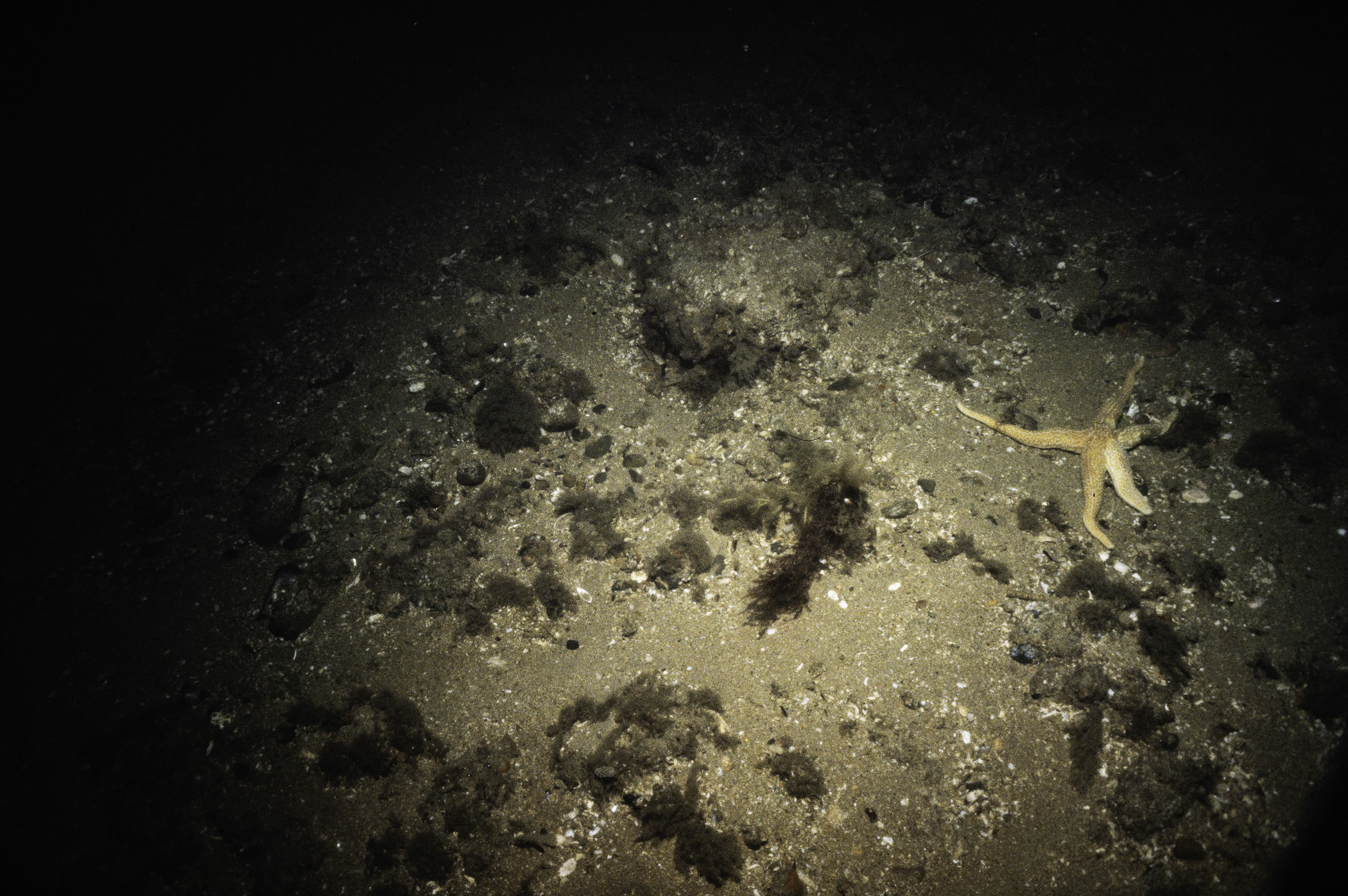
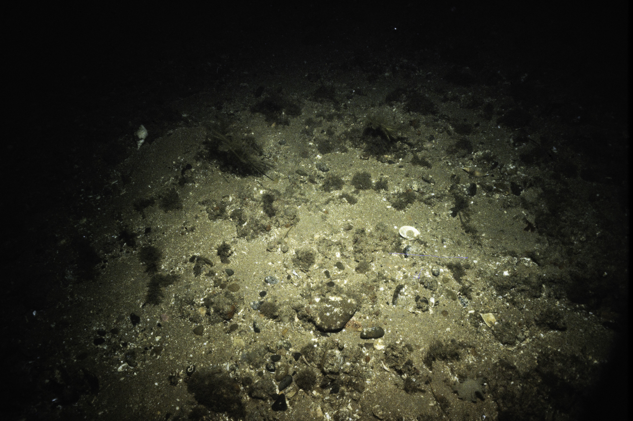
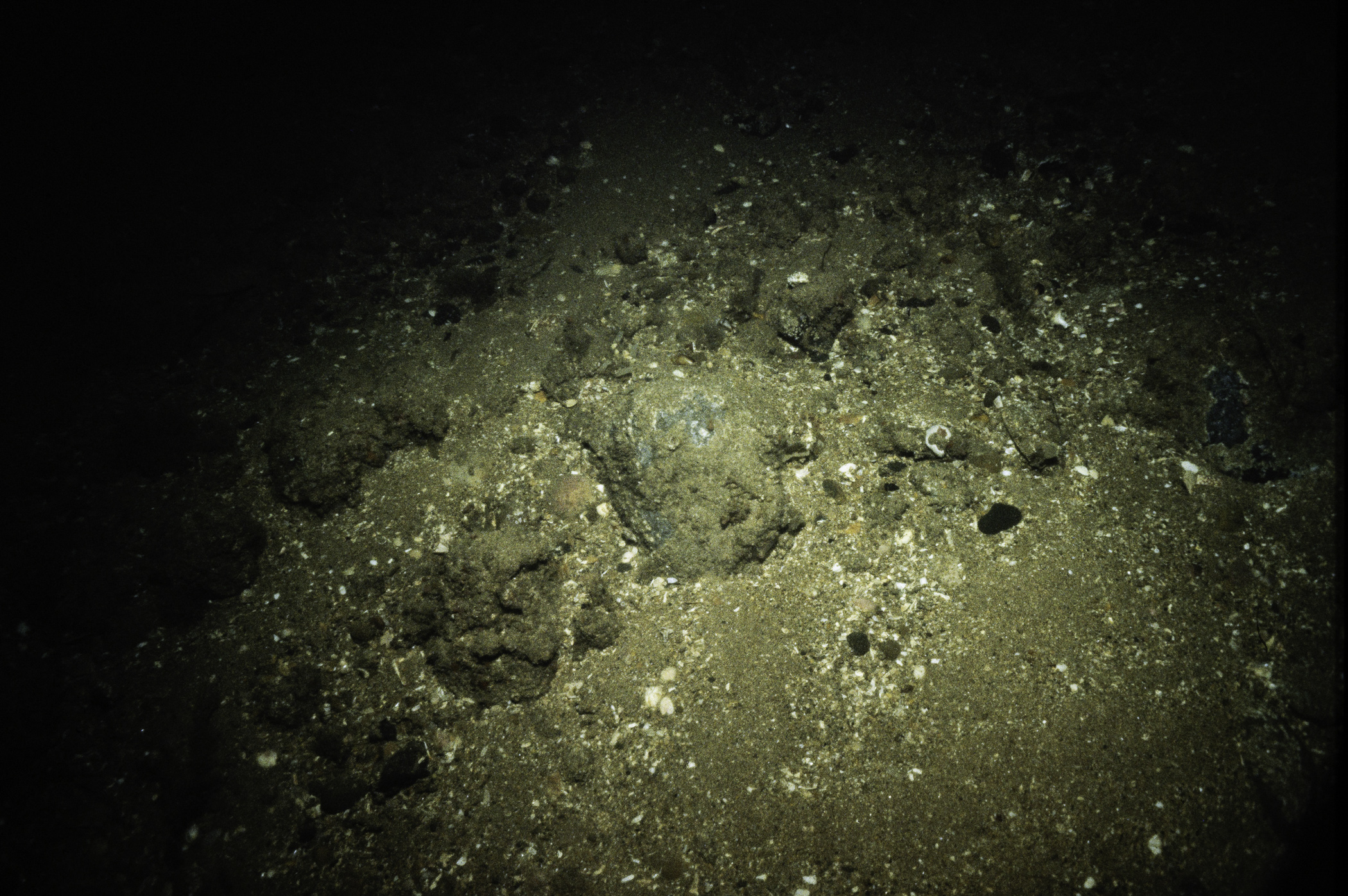
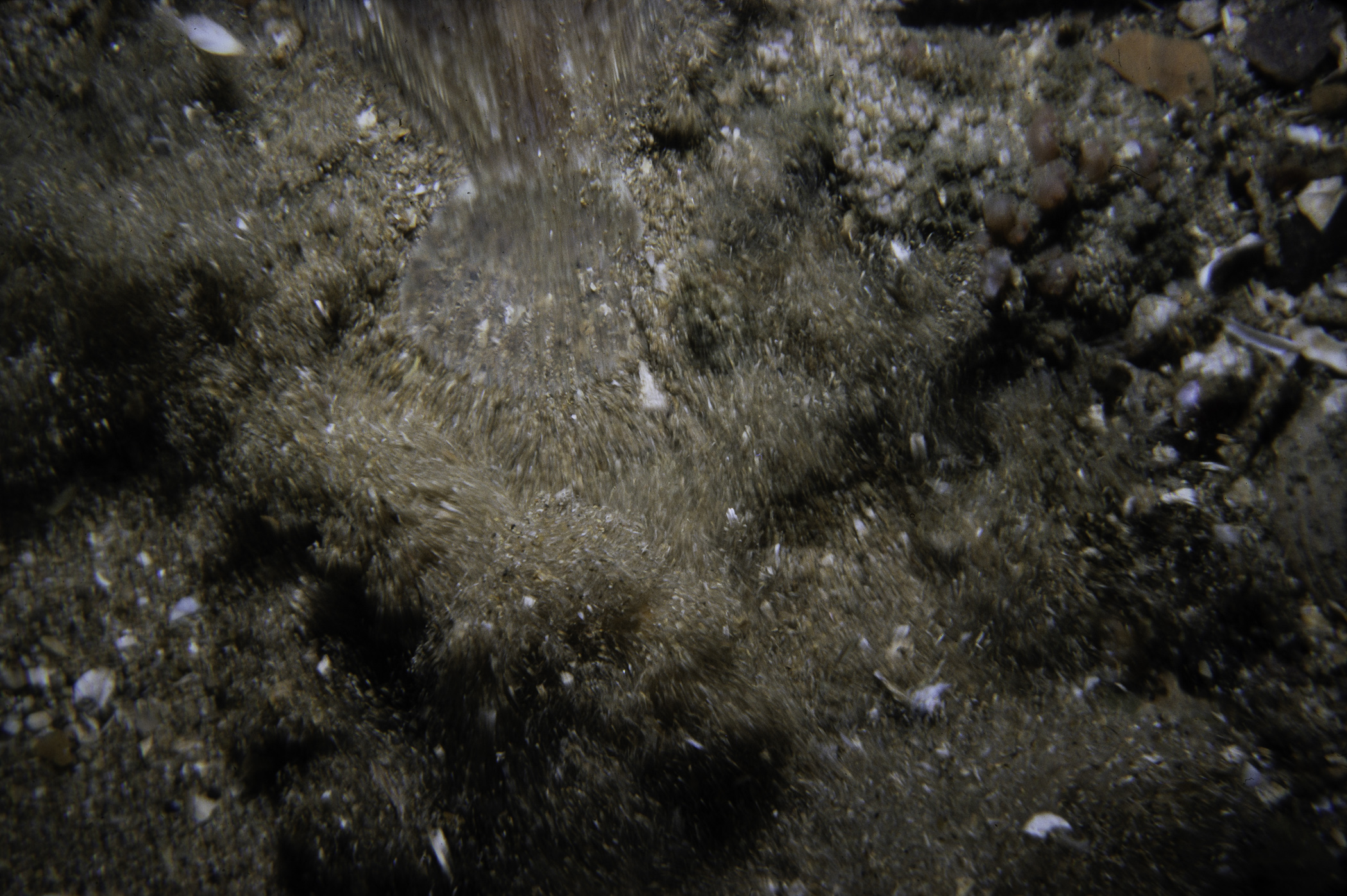
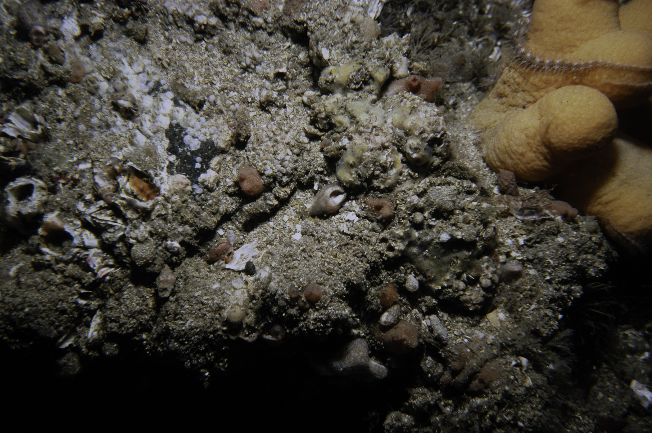
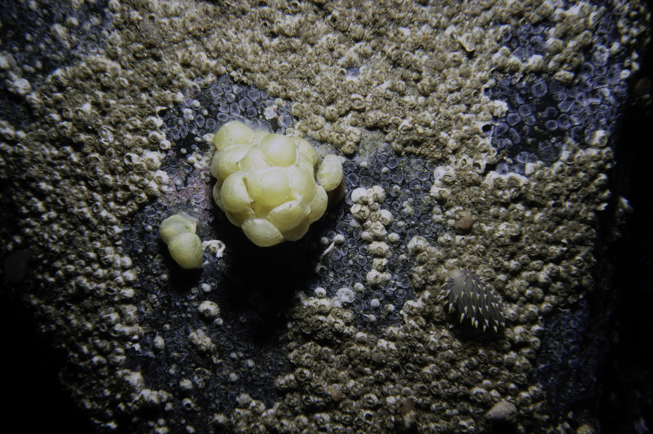
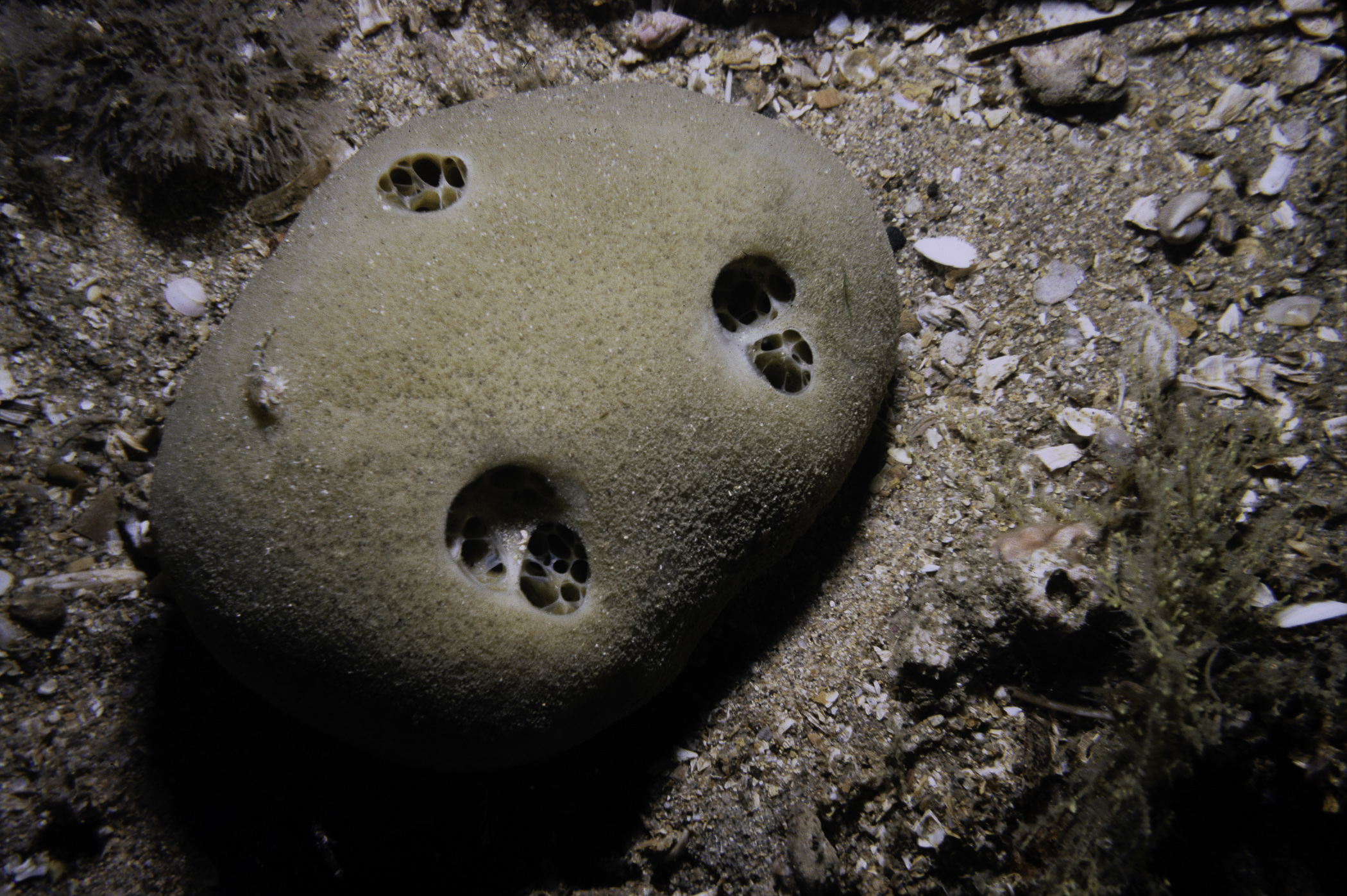
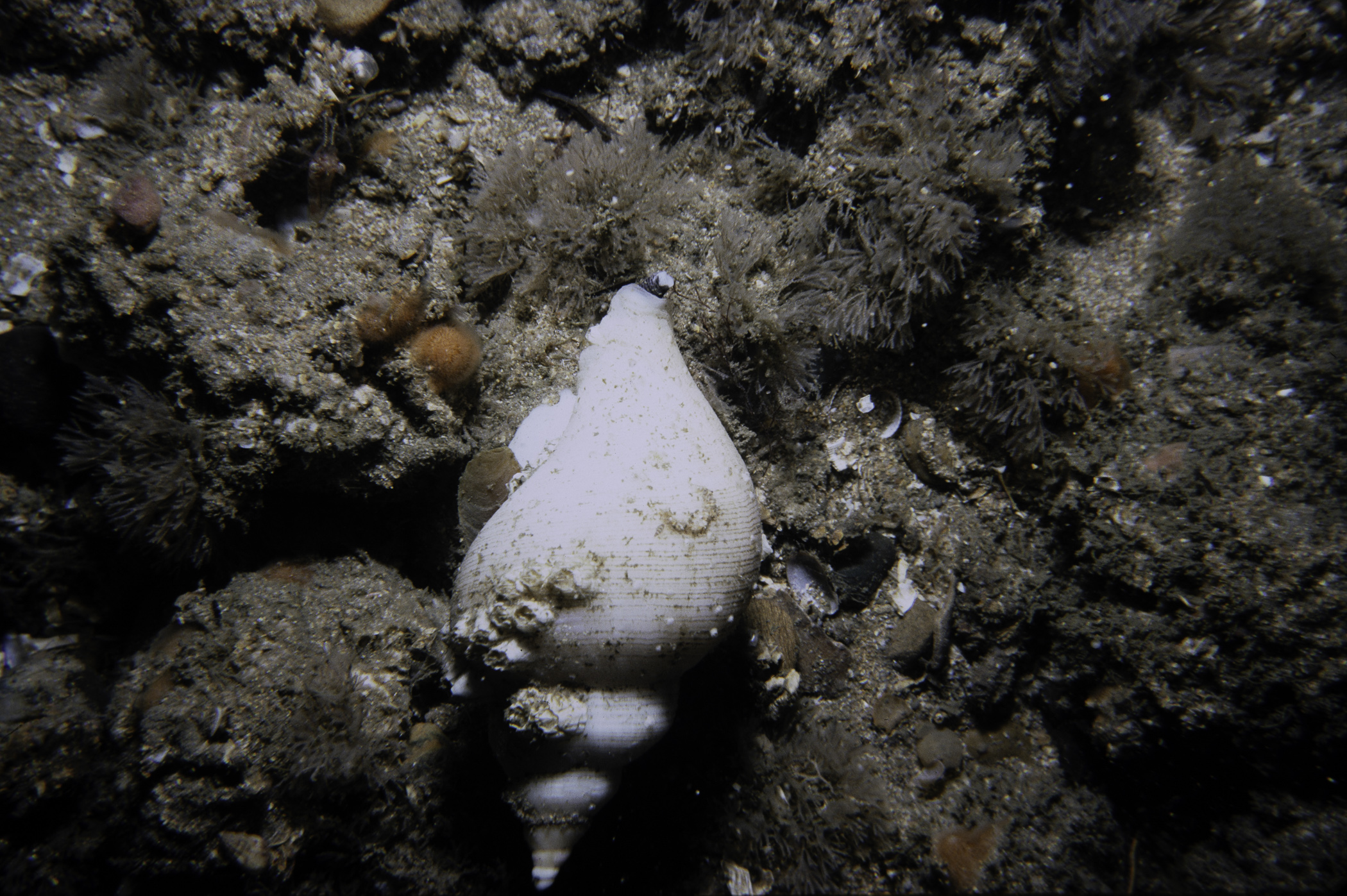
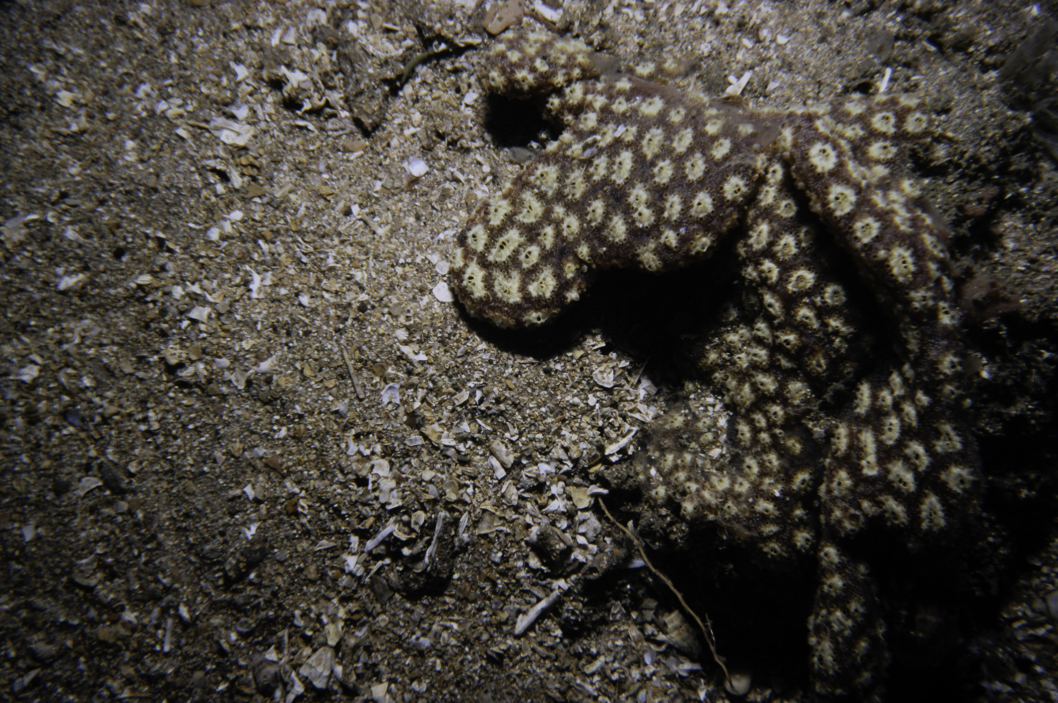
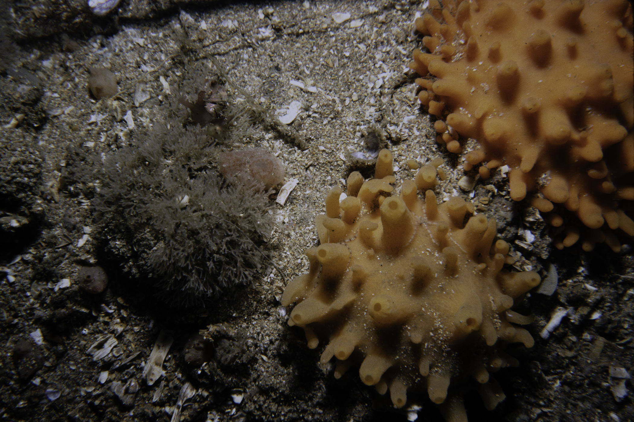
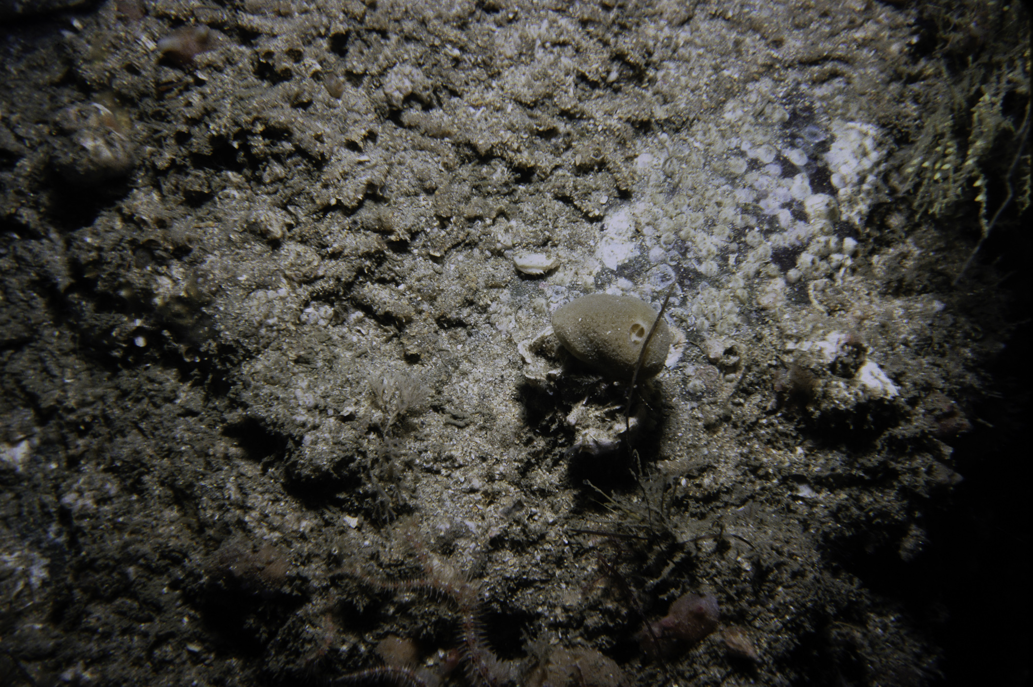
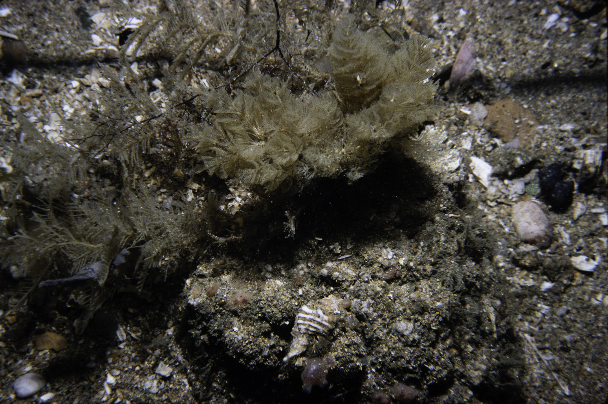
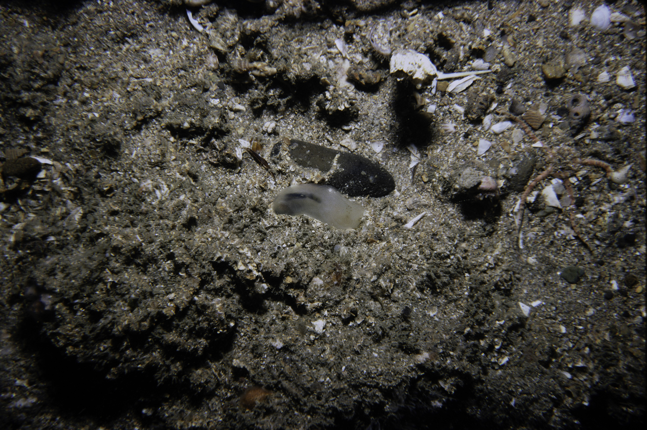
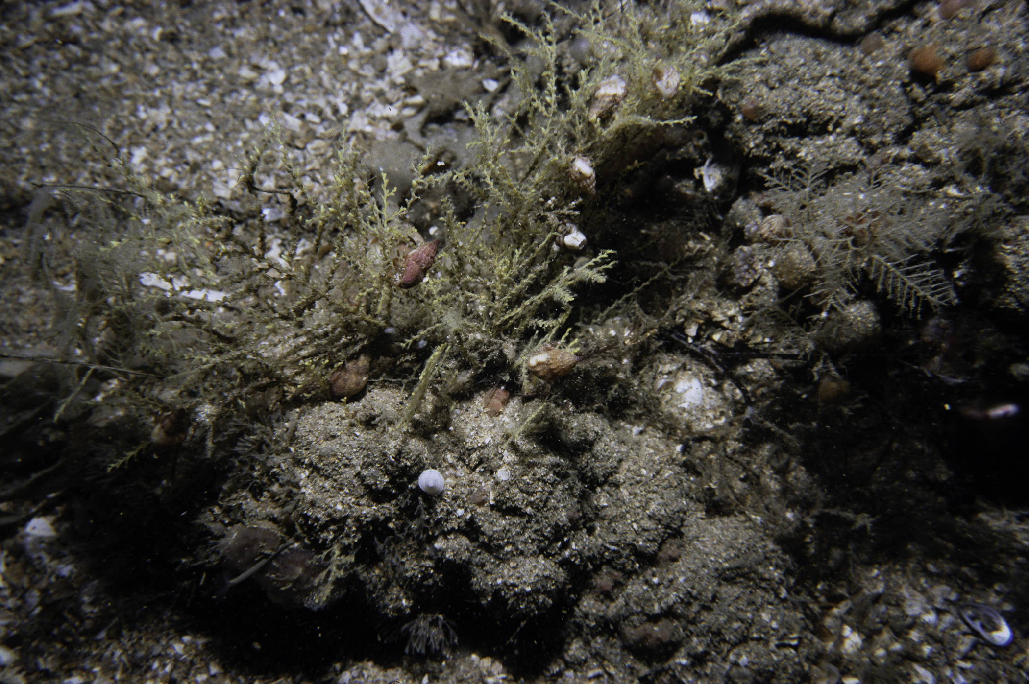
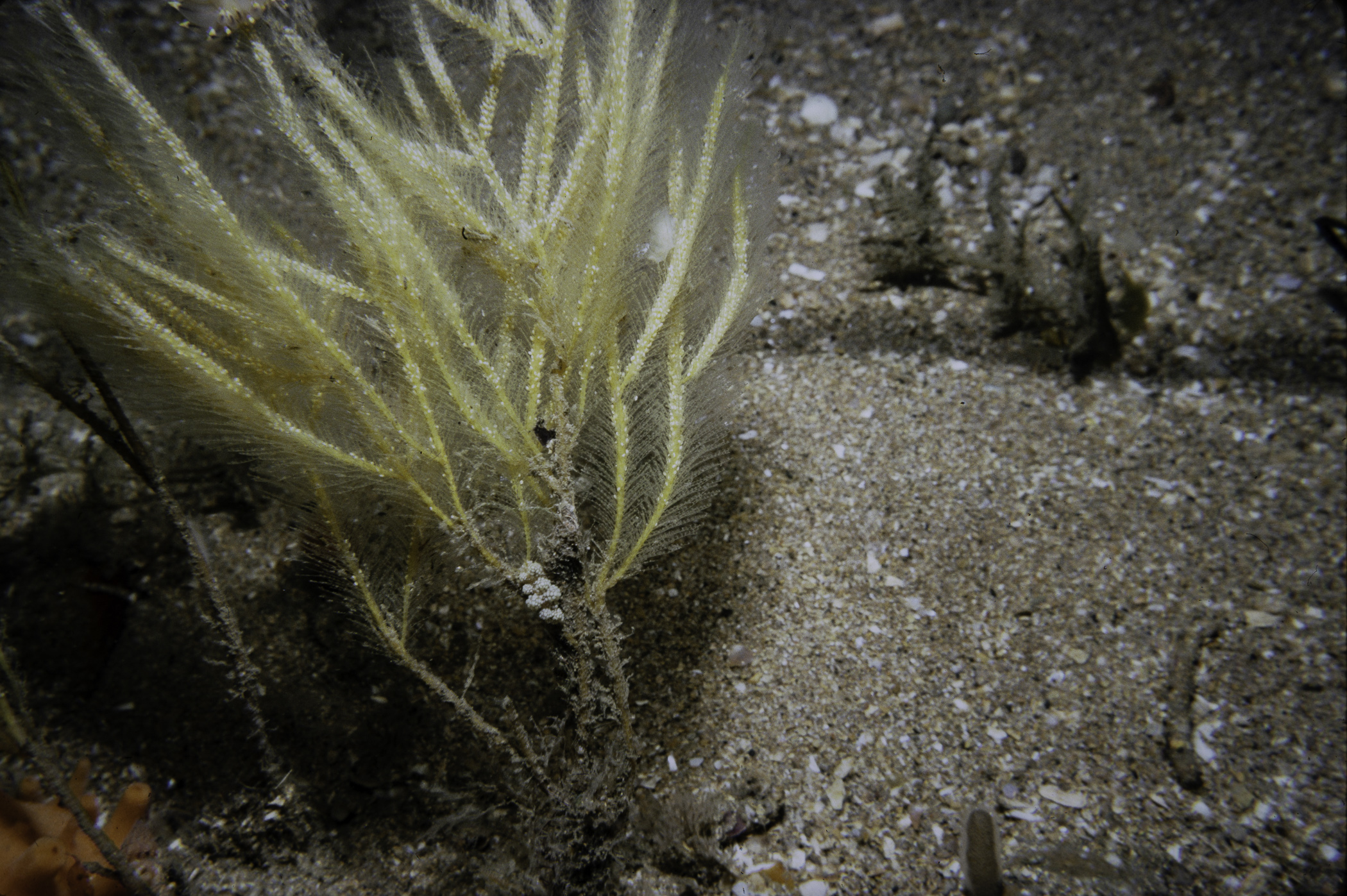
Site Description: Horizontal plain of coarse sand channels between areas of low bedrock outcropping. Occasional loose boulder or cobble. Mainly hydroid and bryozoan turf. Much shell debris on sand. Rock fairly pitted.
 |
 |
 |
 |
 |
 |
 |
 |
 |
 |
 |
 |
 |
 |
 |
[ More images ] (15/18)
Species list (36 species recorded):
ANNELIDA
Lepidonotus squamatus
Sabellaria spinulosa
Sabella pavonina
CHELICERATA
Nymphon brevitarse
CRUSTACEA
Verruca stroemia
Anapagurus hyndmanni
Pagurus bernhardus
Pagurus cuanensis
Pagurus pubescens
Hyas araneus
MOLLUSCA
Calliostoma zizyphinum
Neptunea antiqua
Doto fragilis
Eubranchus tricolor
Mytilus edulis
Musculus subpictus
Hiatella arctica
BRYOZOA
Crisularia plumosa
Cellepora pumicosa
ECHINODERMATA
Crossaster papposus
Asterias rubens
Ophiothrix fragilis
Amphipholis squamata
Ophiura sp.
Echinus esculentus
TUNICATA
Polyclinum aurantium
Aplidium punctum
Ciona intestinalis
Ascidiella scabra
Styela coriacea
Polycarpa fibrosa
Polycarpa pomaria
Polycarpa scuba
Dendrodoa grossularia
Botryllus schlosseri
PISCES
Zeugopterus punctatus
No biotope record.
ANNELIDA
Lepidonotus squamatus P
Sabellaria spinulosa P
Sabella pavonina P
CHELICERATA
Nymphon brevitarse P
CRUSTACEA
Verruca stroemia P
Anapagurus hyndmanni P
Pagurus bernhardus P
Pagurus cuanensis P
Pagurus pubescens P
Hyas araneus P
MOLLUSCA
Calliostoma zizyphinum P
Neptunea antiqua P
Doto fragilis P
Eubranchus tricolor P
Mytilus edulis P
Musculus subpictus P
Hiatella arctica P
BRYOZOA
Crisularia plumosa P
Cellepora pumicosa P
ECHINODERMATA
Crossaster papposus P
Asterias rubens P
Ophiothrix fragilis P
Amphipholis squamata P
Ophiura sp. P
Echinus esculentus P
TUNICATA
Polyclinum aurantium P
Aplidium punctum P
Ciona intestinalis P
Ascidiella scabra P
Styela coriacea P
Polycarpa fibrosa P
Polycarpa pomaria P
Polycarpa scuba P
Dendrodoa grossularia P
Botryllus schlosseri P
PISCES
Zeugopterus punctatus P
| Previous site | Next site |