Marine Biodiversity Data Portal - NI
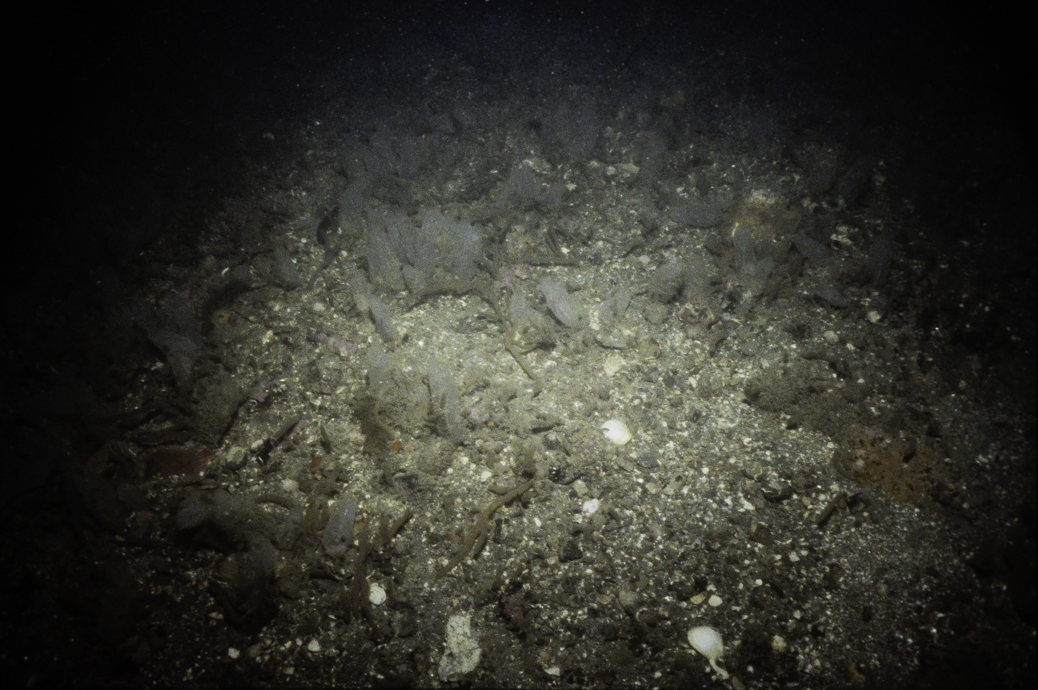
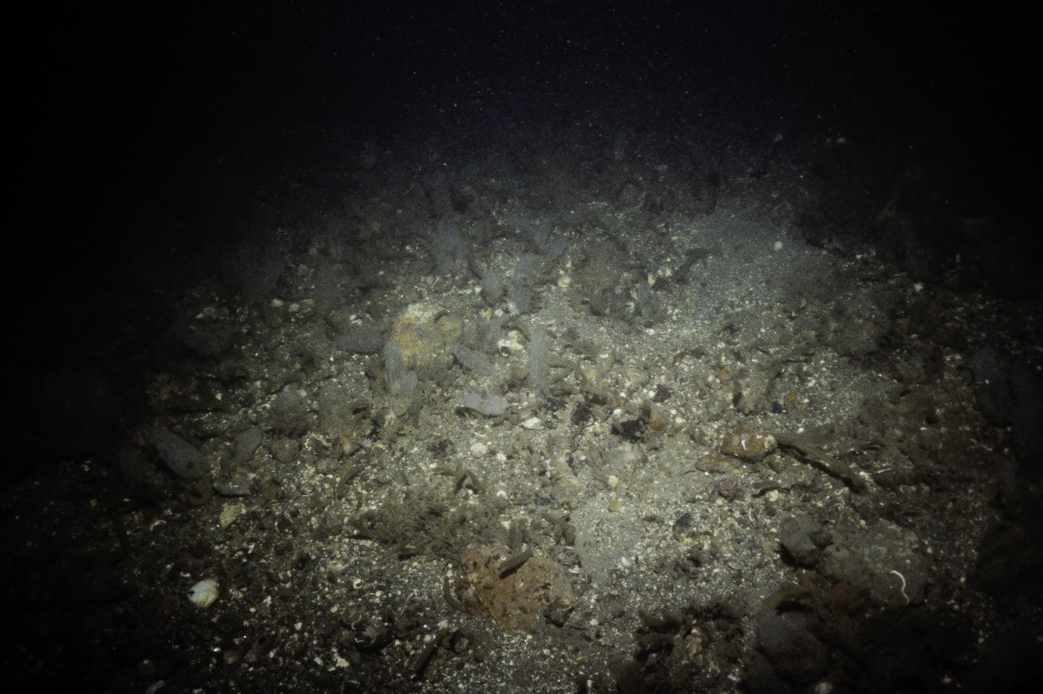
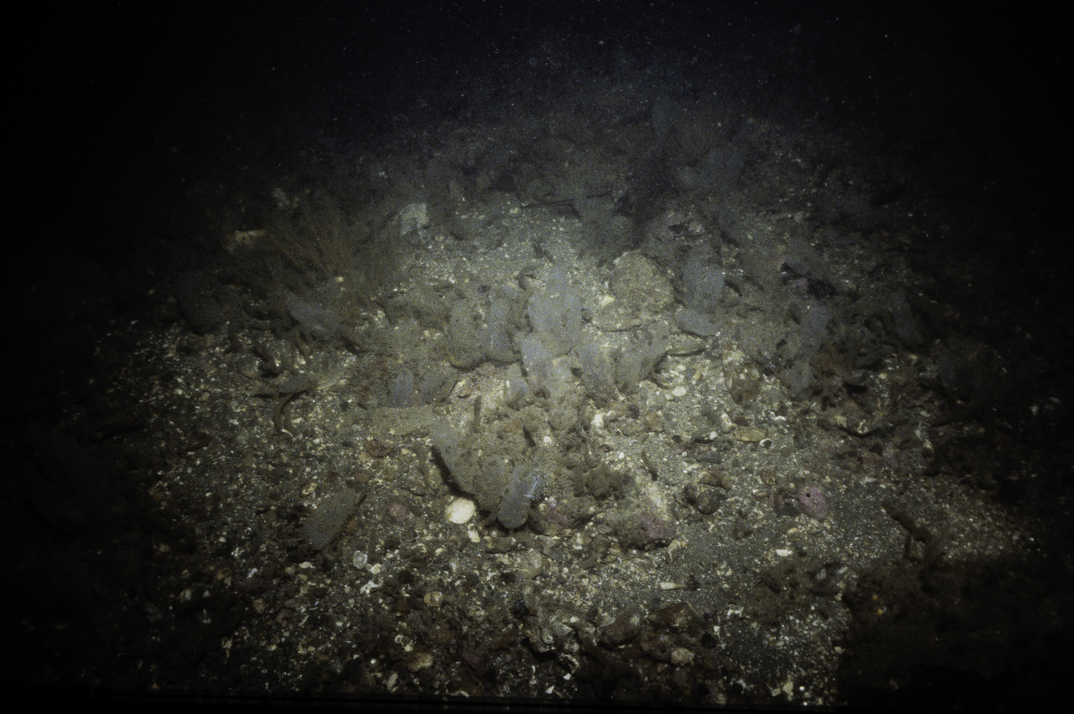
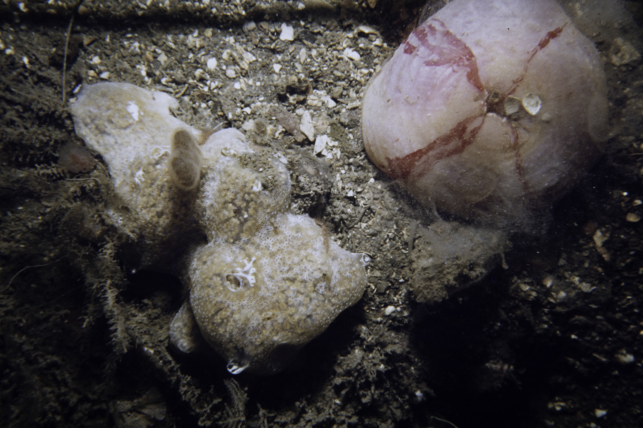
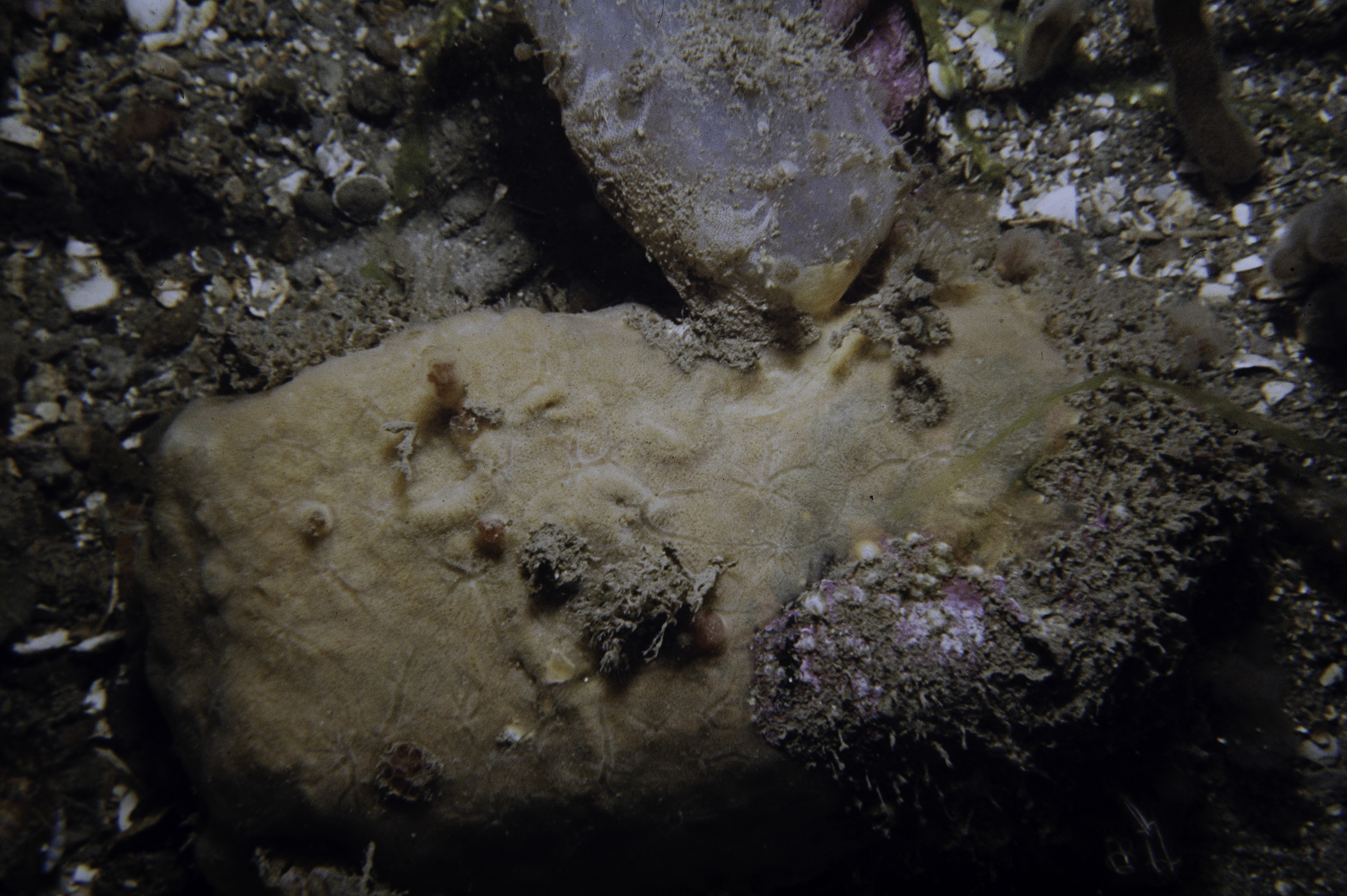
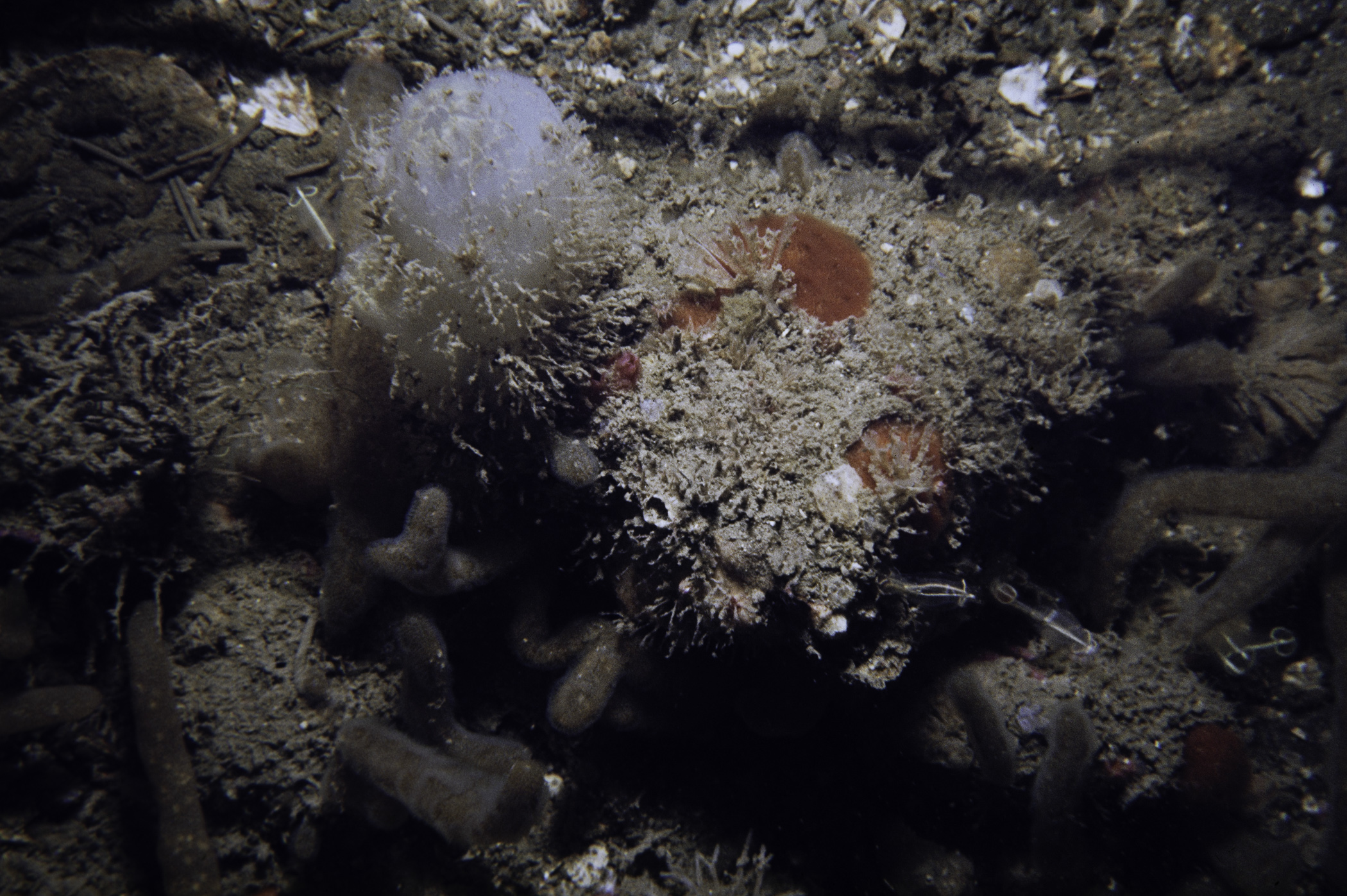
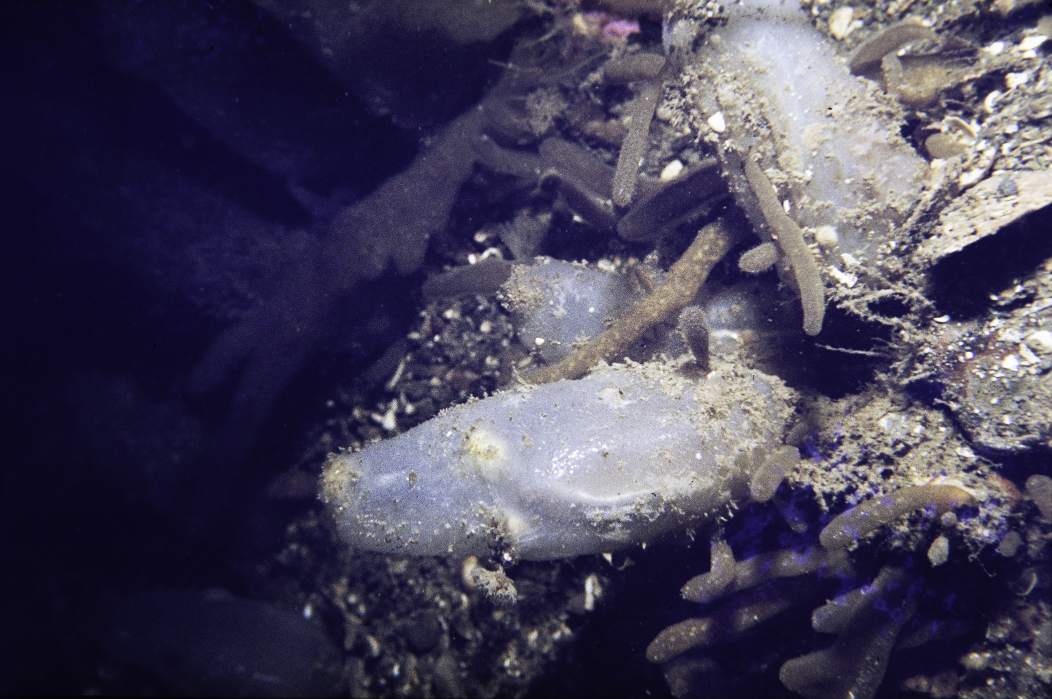
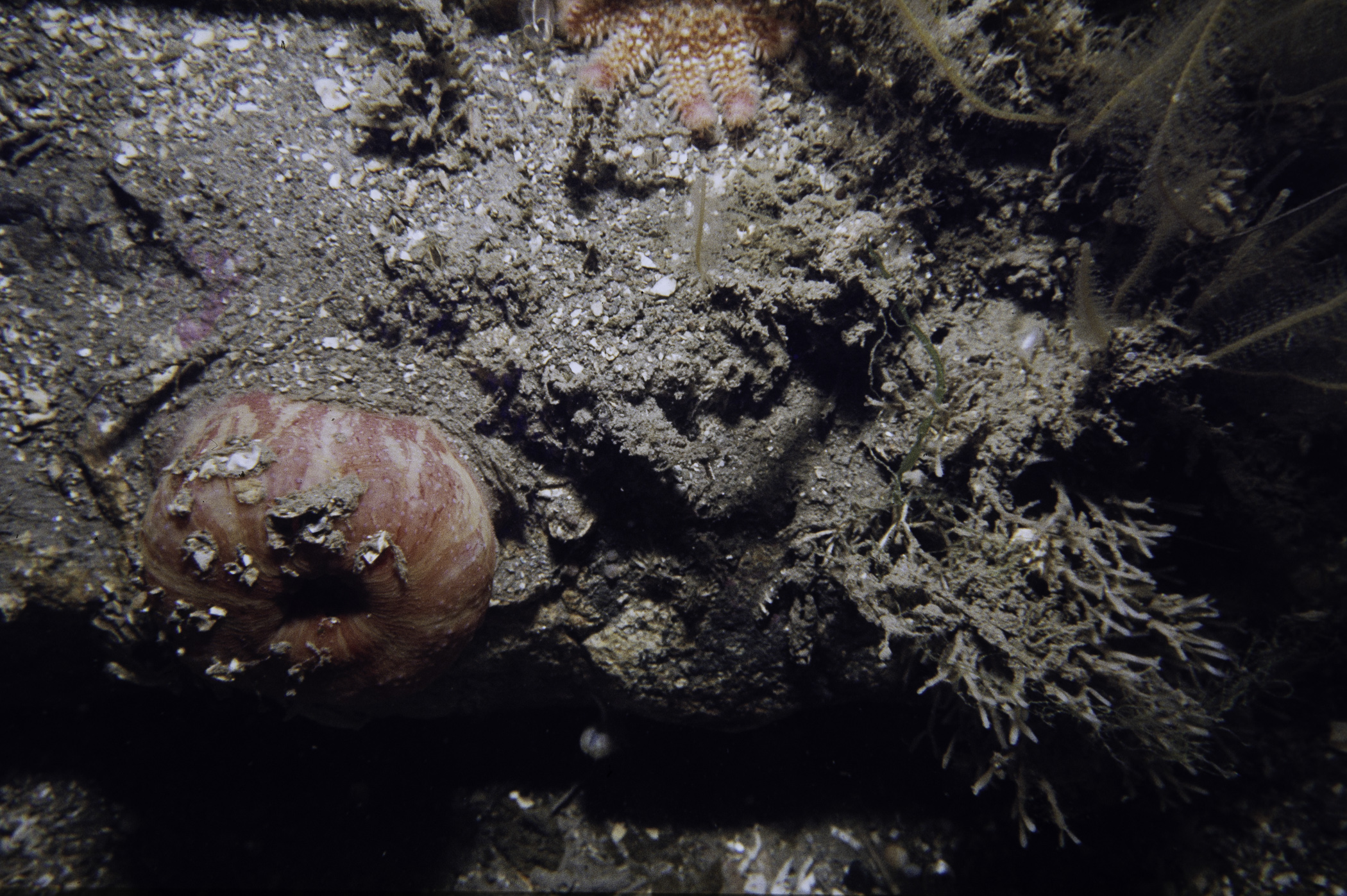
N of Chapel Island, Strangford Lough.
Survey number: 550 Event number: 19820615/03 Date: 1982-06-15 GPS: 54.39083,-5.58250 [ View map ]
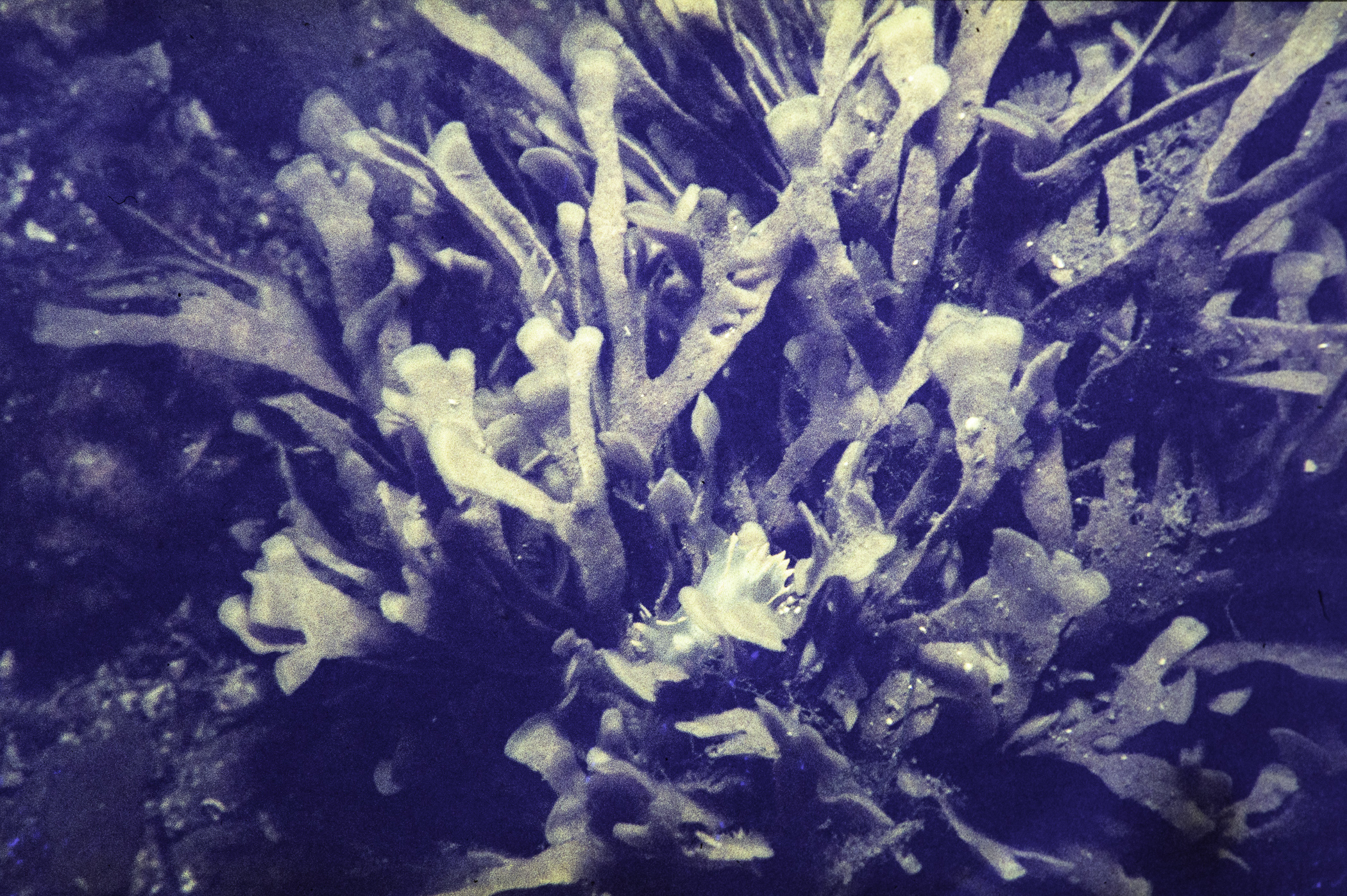
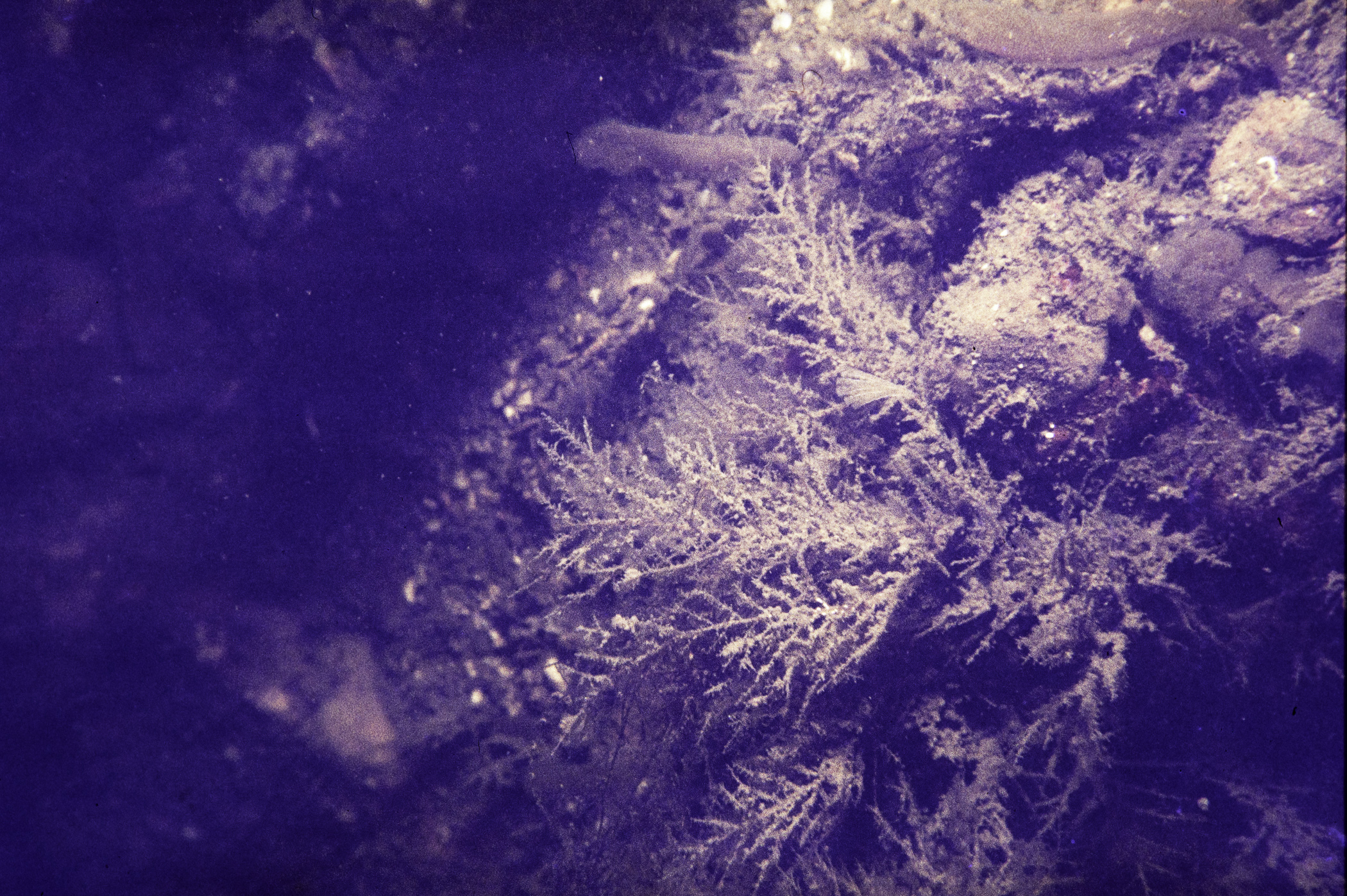
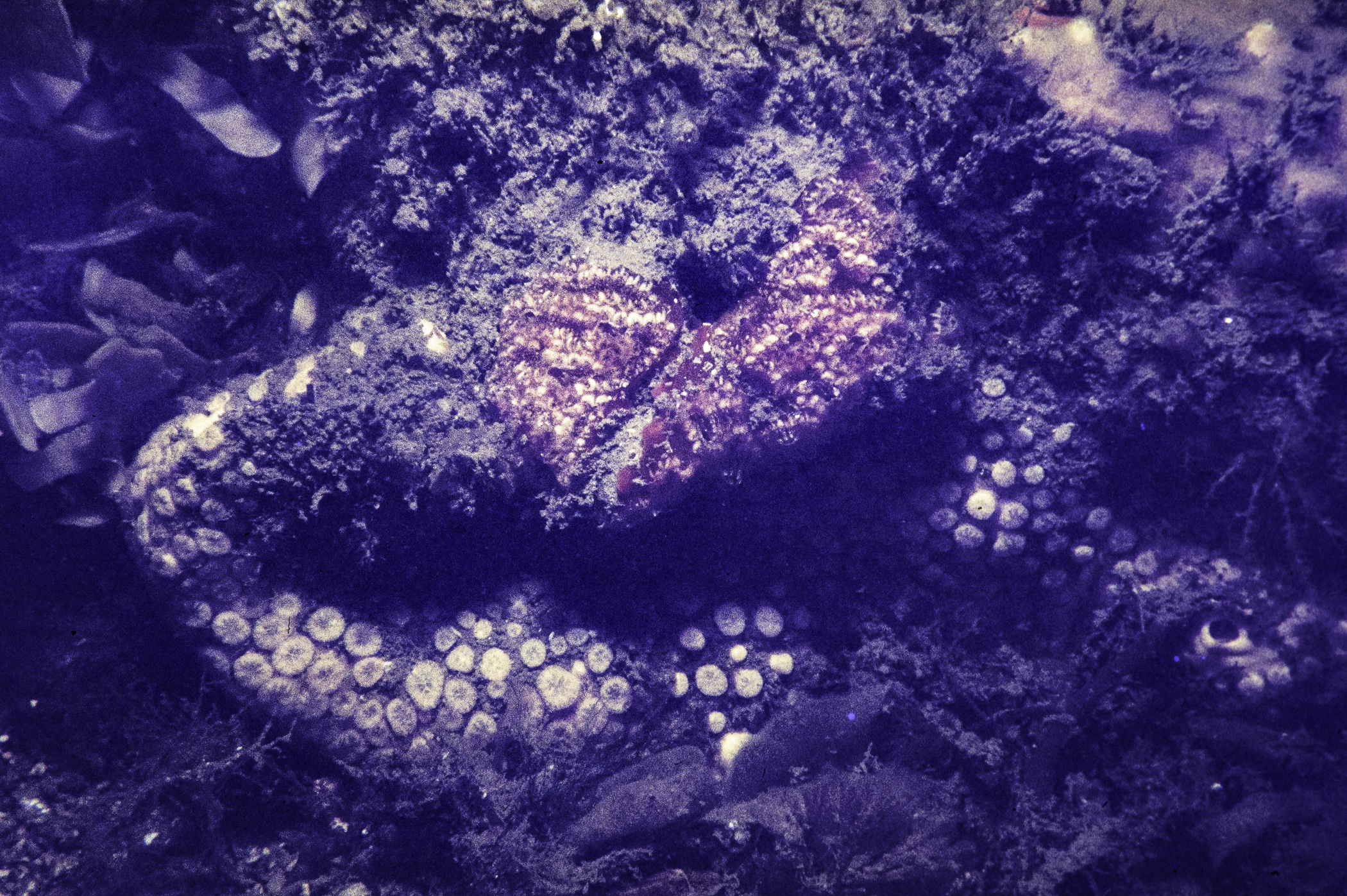
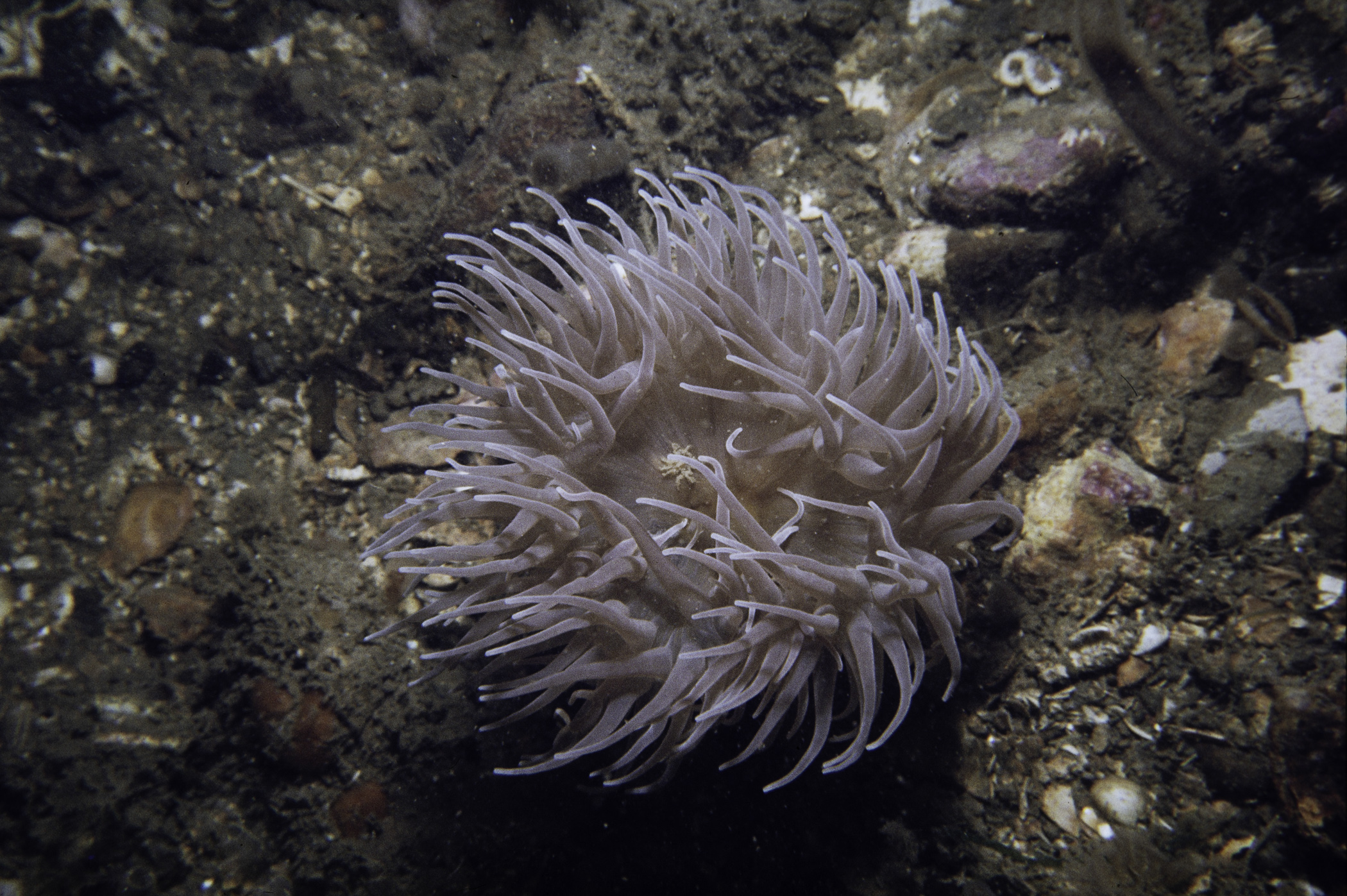
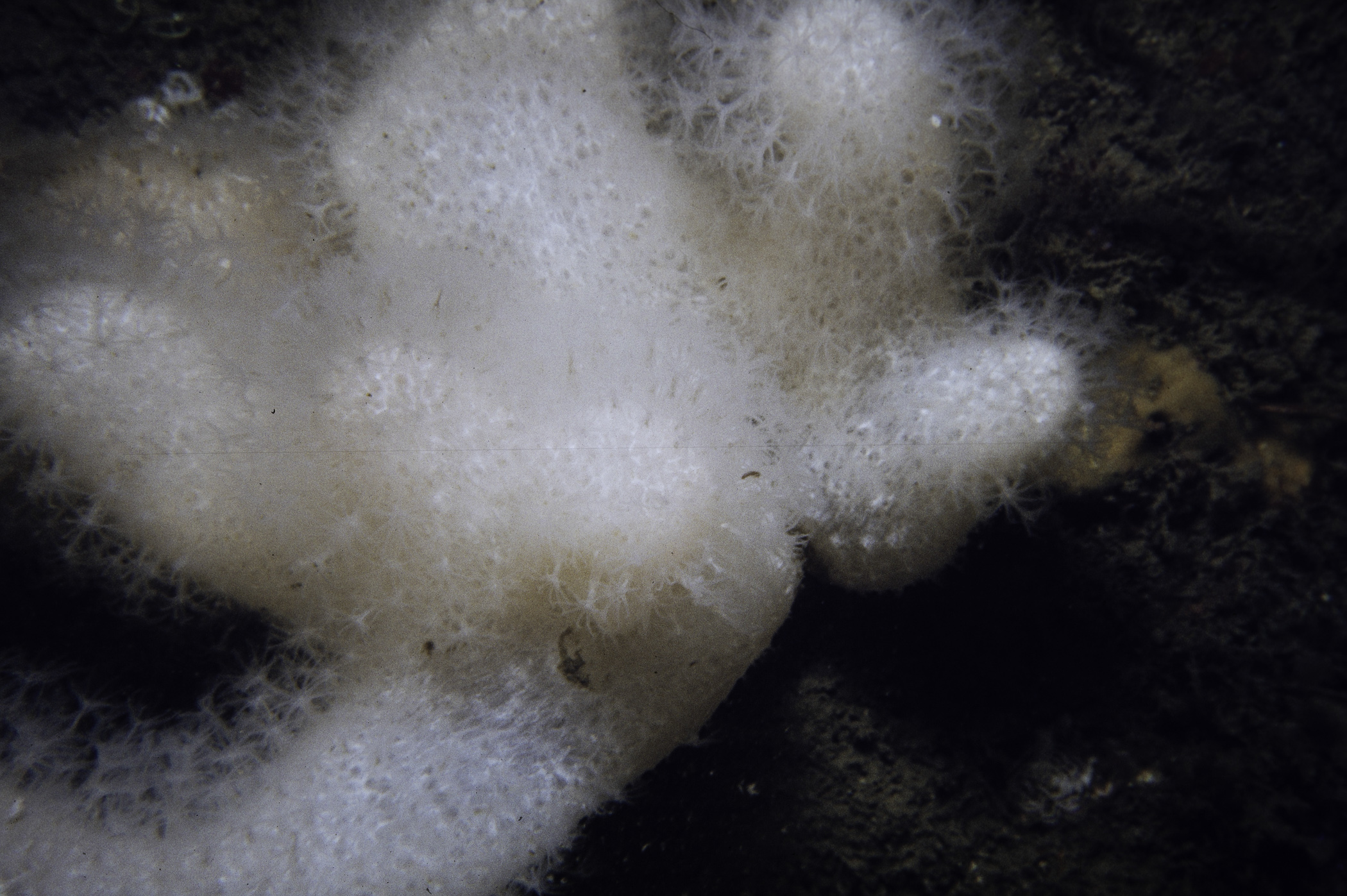
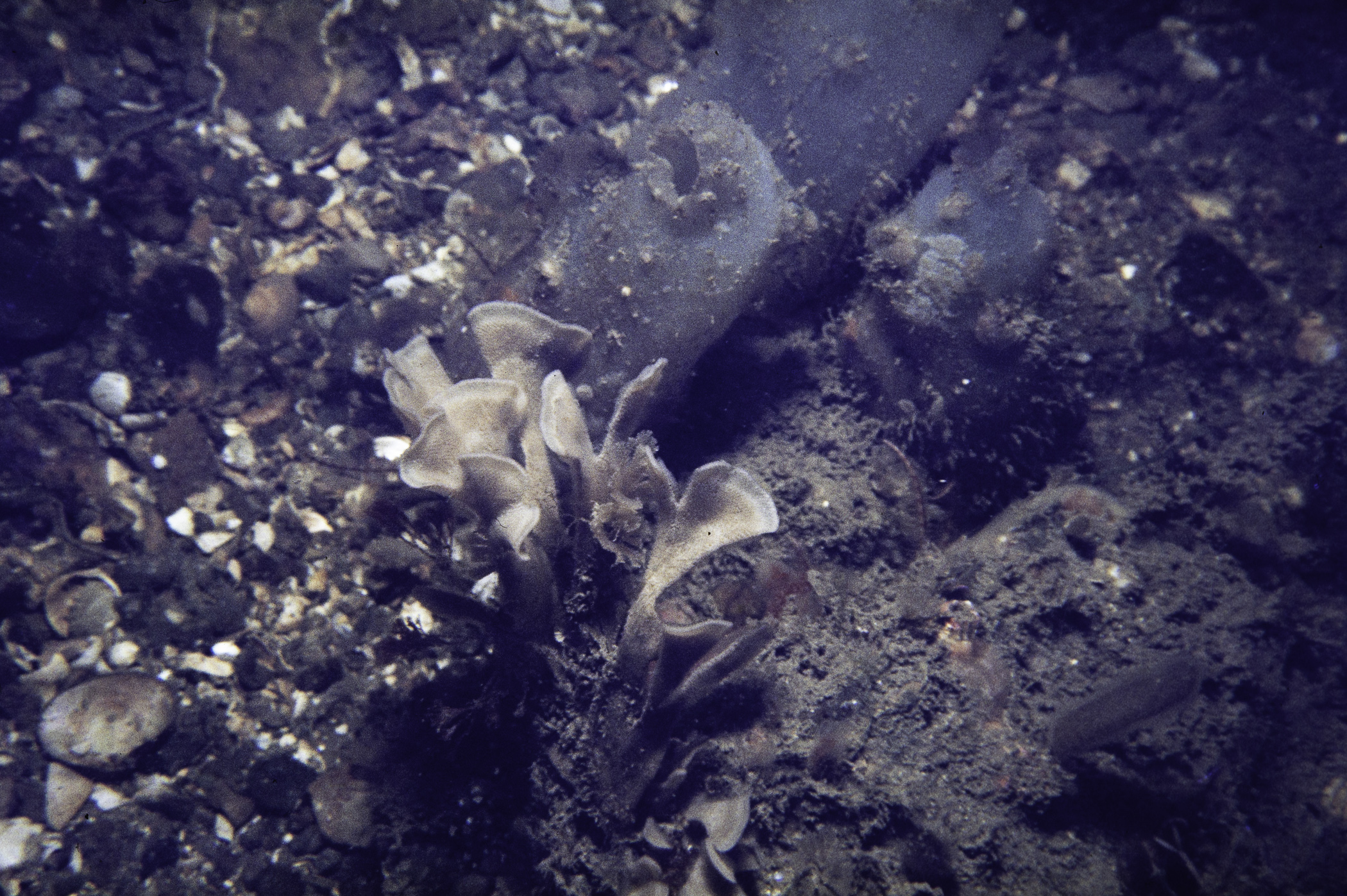
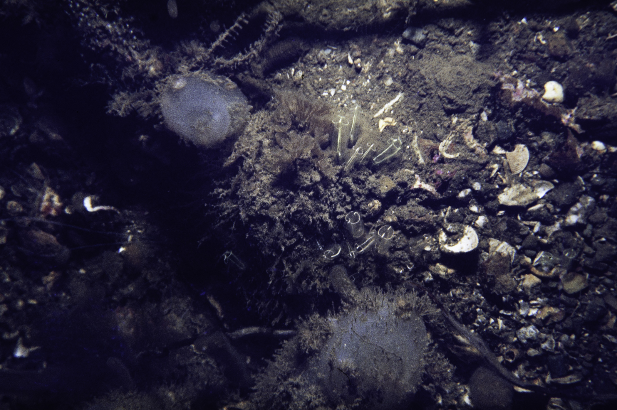
Site Description: Cobbled bottom with coarse sediment. Shallow slope with steeper slope shallower becoming increasingly cobbly and bouldery.
 |
 |
 |
 |
 |
 |
 |
 |
 |
 |
 |
 |
 |
 |
 |
[ More images ] (15/21)
Species list (52 species recorded):
PORIFERA
Cliona celata
CNIDARIA
Halecium halecinum
Kirchenpaueria pinnata
Nemertesia antennina
Nemertesia ramosa
Rhizocaulus verticillatus
Alcyonium digitatum
Anemonia viridis
Urticina eques
Cylista elegans
ANNELIDA
Lanice conchilega
CRUSTACEA
Pisidia longicornis
Polybius depurator
MOLLUSCA
Steromphala cineraria
Calliostoma zizyphinum
Buccinum undatum
Polycera faeroensis
Antiopella cristata
Pecten maximus
Aequipecten opercularis
Venus casina
BRYOZOA
Alcyonidium diaphanum
Flustra foliacea
Securiflustra securifrons
Bugulina flabellata
Cellaria sp.
Escharella immersa
Cellepora pumicosa
ECHINODERMATA
Antedon bifida
Crossaster papposus
Henricia oculata
Asterias rubens
Leptasterias muelleri
Marthasterias glacialis
Ophiothrix fragilis
Ophiocomina nigra
Ophiopholis aculeata
Amphipholis squamata
Echinus esculentus
TUNICATA
Clavelina lepadiformis
Synoicum pulmonaria
Morchellium argus
Aplidium nordmanni
Aplidium punctum
Diplosoma listerianum
Ciona intestinalis
Corella parallelogramma
Ascidiella aspersa
Ascidia mentula
Dendrodoa grossularia
Botryllus schlosseri
RHODOPHYTA
Lithophyllum sp.
No biotope record.
PORIFERA
Cliona celata P
CNIDARIA
Halecium halecinum P
Kirchenpaueria pinnata P
Nemertesia antennina P
Nemertesia ramosa P
Rhizocaulus verticillatus P
Alcyonium digitatum P
Anemonia viridis P
Urticina eques P
Cylista elegans P
ANNELIDA
Lanice conchilega P
CRUSTACEA
Pisidia longicornis P
Polybius depurator P
MOLLUSCA
Steromphala cineraria P
Calliostoma zizyphinum P
Buccinum undatum P
Polycera faeroensis P
Antiopella cristata P
Pecten maximus P
Aequipecten opercularis P
Venus casina P
BRYOZOA
Alcyonidium diaphanum P
Flustra foliacea P
Securiflustra securifrons P
Bugulina flabellata P
Cellaria sp. P
Escharella immersa P
Cellepora pumicosa P
ECHINODERMATA
Antedon bifida P
Crossaster papposus P
Henricia oculata P
Asterias rubens P
Leptasterias muelleri P
Marthasterias glacialis P
Ophiothrix fragilis P
Ophiocomina nigra P
Ophiopholis aculeata P
Amphipholis squamata P
Echinus esculentus P
TUNICATA
Clavelina lepadiformis P
Synoicum pulmonaria P
Morchellium argus P
Aplidium nordmanni P
Aplidium punctum P
Diplosoma listerianum P
Ciona intestinalis P
Corella parallelogramma P
Ascidiella aspersa P
Ascidia mentula P
Dendrodoa grossularia P
Botryllus schlosseri P
RHODOPHYTA
Lithophyllum sp. P
| Previous site | Next site |