Earth Science Conservation Review
| Carrickmore Blister | Antrim |

| Site Type: | Coastal section |
| Site Status: | ASSI |
| Council area: | Moyle District Council |
| Grid Reference: | D16404285 |
| Google maps: | 55.21896,-6.17104 |
| Rocks | |
|---|---|
| Rock Age: | Tertiary, Carboniferous (Carboniferous Undifferentiated, Tertiary Undifferentiated) |
| Rock Name: | Lower Carboniferous |
| Rock Type: | Clay, Dolerite, Fireclay, Porcellanite, Shale |
| Interest | |
| Minerals: | Cordierite, Corundum, Mullite, Spinel |
| Other interest: | dyke, laccolith, Intrusion |
Summary of site:
Igneous intrusions (places where molten rock is intruded into solid crustal rocks from below) are commonplace in the north east of Northern Ireland. Dykes (intrusions that cut across beds of rock) are particularly common and sills (intruded along bedding planes) are frequently seen. What makes the Carrickmore locality interesting is the form of the intrusion found here - a small scale laccolith (an intrusion between beds of rock with a flat base and a domed top).
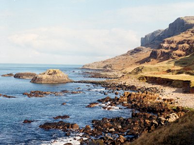
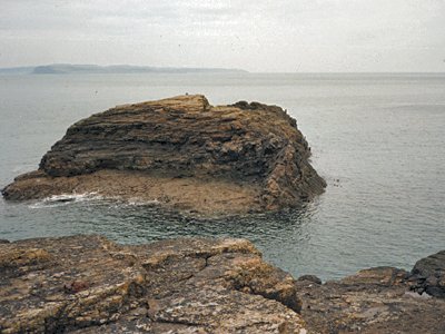
This is a coastal outcrop where a substantial dyke varying in width from 2.5 to 4.5m has exploited a fault zone (a plane of weakness). The shore exposure aligns with the offshore stacks immediately to the north which appear, on their eastern side, to show the continuation of the dyke. On the coast there is a clear arching of the rocks above the horizontal intrusion and the dyke does not continue above.
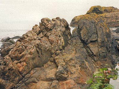
The locality is also of interest because the rocks forming the walls and roof of the laccolith, shales and fireclays, have fused under intense heating to form a tough metamorphic rock called a porcellanite. In one or two places small plates of fireclay have broken loose from the walls and floated into the magma before becoming trapped as xenoliths when it finally cooled. These xenoliths reacted with the magma and a coarse grained margin was formed.
The heat intensity affecting the walls of this intrusion was much greater than usual for the area, suggesting that the dyke remained active for a long period. It was almost certainly a main feeder dyke, providing molten lava to the surface for a considerable time. The minerals in the porcellanite (mullite, cordierite, plagioclase, spinel and corundum) confirm the high temperature reached but also suggest a low confining pressure, indicating a shallow depth below ground surface.
This is an excellent teaching and research locality in no immediate danger, except for coastal erosion.
| Enlander, I., Dempster, M. & Doughty, P., 2025. Carrickmore Blister, County Antrim, site summary. [In] Earth Science Conservation Review. https://www.habitas.org.uk/escr/summary.php?item=86. Accessed on 2025-04-03 |
| Previous Site | Next Site |


