Earth Science Conservation Review
| Portmuck East - Mineralogy | Antrim |
| Site Type: | Coastal section |
| Site Status: | ASSI |
| Council area: | Larne Borough Council |
| Grid Reference: | D463021 |
| Google maps: | 54.84572,-5.72243 |
| Rocks | |
|---|---|
| Rock Age: | Tertiary, Cretaceous |
| Rock Name: | Antrim Lava Group, Ulster White Limestone Formation |
| Rock Type: | Amydaloidal Basalt, Limestone |
| Interest | |
| Minerals: | Andradite, Gobbinsite, Magnetite |
| Other interest: | amygdales, dyke |
Introduction:
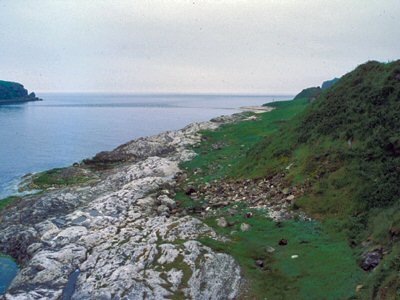
The localities of interest here are (i) a 4m wide dolerite dyke through Chalk southeast of Portmuck, at the margin of which the Chalk has been contact metamorphosed with the development of massive magnetite rock containing chalcedony and andradite garnet, and (ii) amygdaloidal basalt boulders near Two-Mouthed Cave along the coastline c.100m further south, in which gobbinsite has been recorded.
| Enlander, I., Dempster, M. & Doughty, P., 2025. Portmuck East - Mineralogy, County Antrim, site summary. [In] Earth Science Conservation Review. https://www.habitas.org.uk/escr/summary.php?item=539. Accessed on 2025-04-03 |
| Previous Site | Next Site |

