Earth Science Conservation Review
| Marble Arch Karst; Pollasumera | Fermanagh |
| Site Type: | Cave |
| Site Status: | ASSI |
| Council area: | Fermanagh District Council |
| Grid Reference: | H13023319 |
| Google maps: | 54.24708,-7.80056 |
| Rocks | |
|---|---|
| Rock Age: | Quaternary (Holocene) |
| Rock Type: | Limestone |
| Interest | |
| Minerals: | Calcite |
| Other interest: | arch, blind valley, cave, clastic sediments, sinkhole, speleothem |
Summary of site:
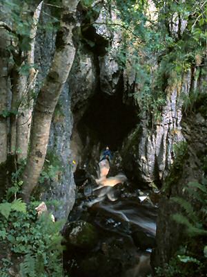
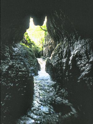
The Owenbrean River is one of the largest in the area, draining the north-eastern slopes of Cuilcagh Mountain and the southern and western slopes of Trien. After meandering northwards for 5km, it turns abruptly west into a confined, blind gorge for 300m before swinging north into the tall, narrow and pointed cleft of Pollasumera. In dry weather the river drains into its bed in the gorge before reaching the cave.
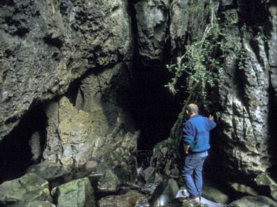
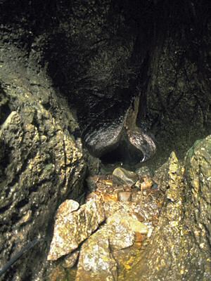
The entrance passage is about 5m wide and, after 80m, it swings west (usually through two small lakes) to a cleft 2m wide which leads to contorted small passages that link in complex fashion, both before and after Leeds Chamber (which is about 8m in diameter). The river runs below these passages but cannot be followed from here. About 200m separates this furthest reach from the head passage of Pollnagollum of the Boats, in turn separated from the upstream end of Skreen Hill 3 in the Marble Arch Caves.
It should be noted that the Owenbrean River described here is unnamed on the Ordnance Survey maps, with the next river to the west erroneously carrying the name. That river is, in fact, the Aghinrawn. The names used here are those traditionally employed and still in use by local residents and the caving fraternity.
| Enlander, I., Dempster, M. & Doughty, P., 2025. Marble Arch Karst; Pollasumera, County Fermanagh, site summary. [In] Earth Science Conservation Review. https://www.habitas.org.uk/escr/summary.php?item=348. Accessed on 2025-04-03 |
| Previous Site | Next Site |


