Earth Science Conservation Review
| Slieve Gullion Ring - Sarah Daly's Bridge | Armagh |
| Site Type: | Crag |
| Site Status: | ASSI |
| Council area: | Newry & Mourne District Council |
| Grid Reference: | J02772308 |
| Google maps: | 54.14625,-6.42833 |
| Rocks | |
|---|---|
| Rock Age: | Tertiary (Palaeogene) |
| Rock Name: | Slieve Gullion Complex |
| Rock Type: | Dolerite, Granophyre |
| Interest | |
| Other interest: | net veins, Contact, Intrusion, Surrounding bogland is of botanical interest. |
Summary of site:
The context for this site is given in the Slieve Gullion Ring – Overview, site 1118.
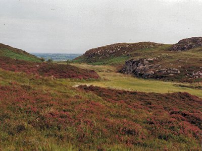
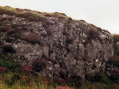
This outcrop shows the convoluted lobes and crenulations of the contact between the high temperature molten dolerite of layer 4 and the cooler but still molten granophyre below. Net veining resulting from the interaction of the two is prominently displayed.
This site is a key component of the suite of sites selected as the framework to our understanding of the evolution of Slieve Gullion and is internationally important.
| Enlander, I., Dempster, M. & Doughty, P., 2025. Slieve Gullion Ring - Sarah Daly's Bridge, County Armagh, site summary. [In] Earth Science Conservation Review. https://www.habitas.org.uk/escr/summary.php?item=1127. Accessed on 2025-03-31 |
| Previous Site | Next Site |

